11.1 miles 676m ascent 5h 17m; max elevation 725m Lowther Hill
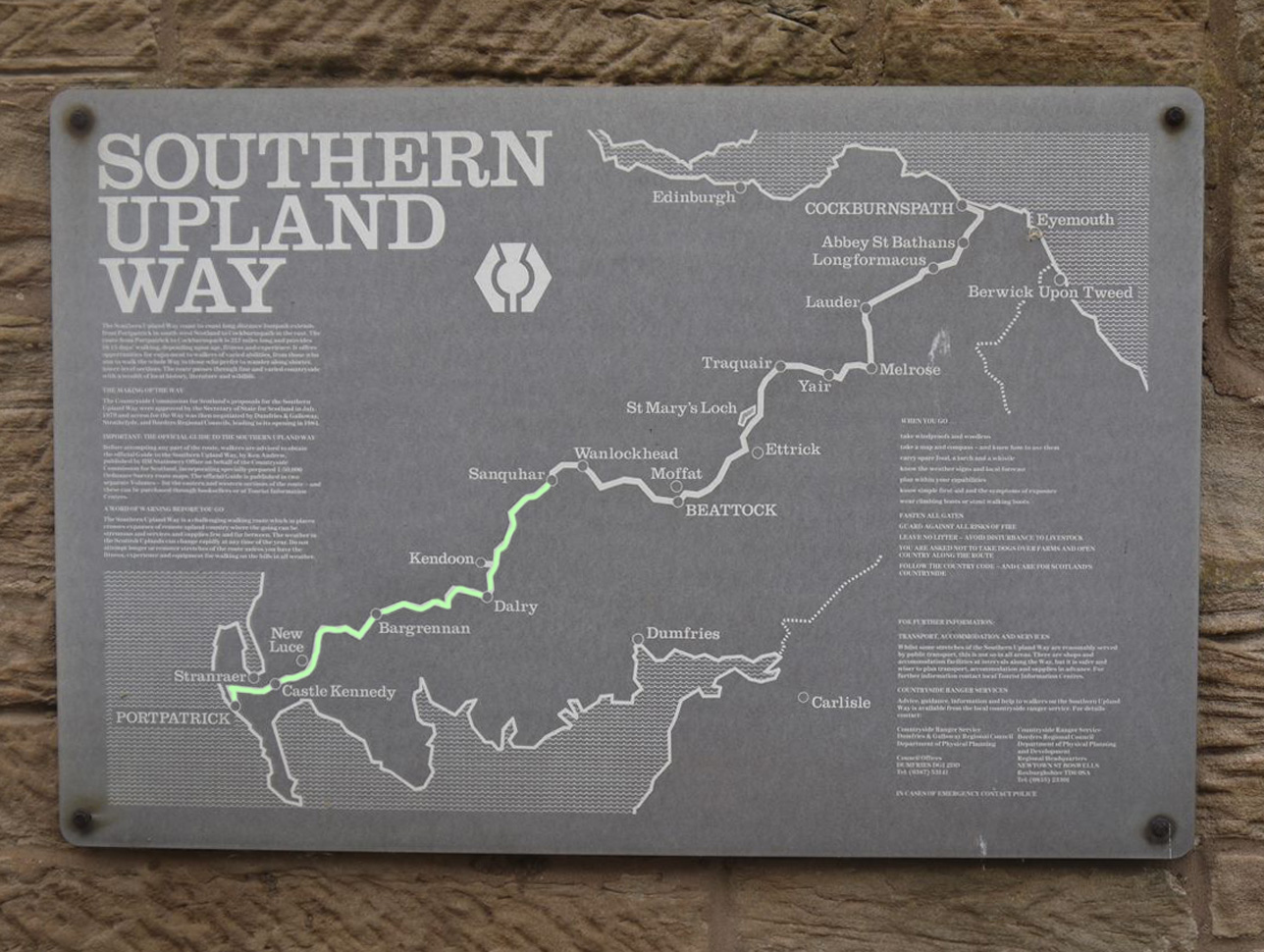
 Route: SUW Wanlockhead to Daer Reservoir (From the highest village in Scotland, along the Lowther roller-coaster, to the headwaters of the River Clyde.)
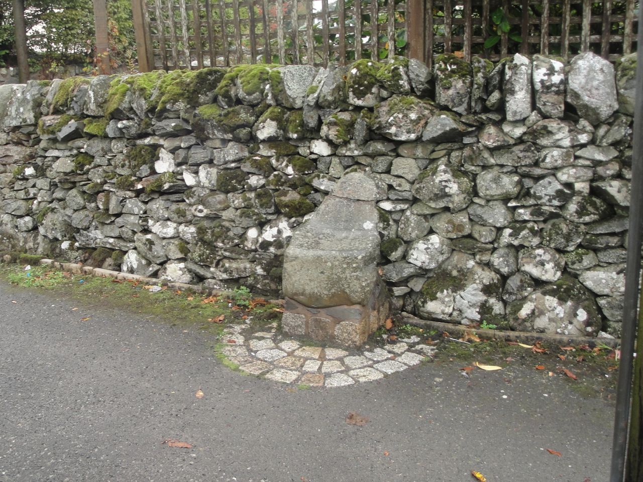
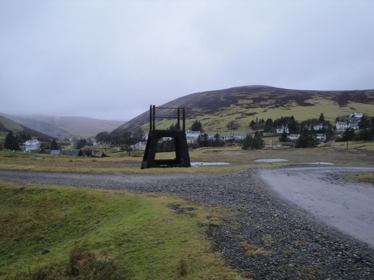
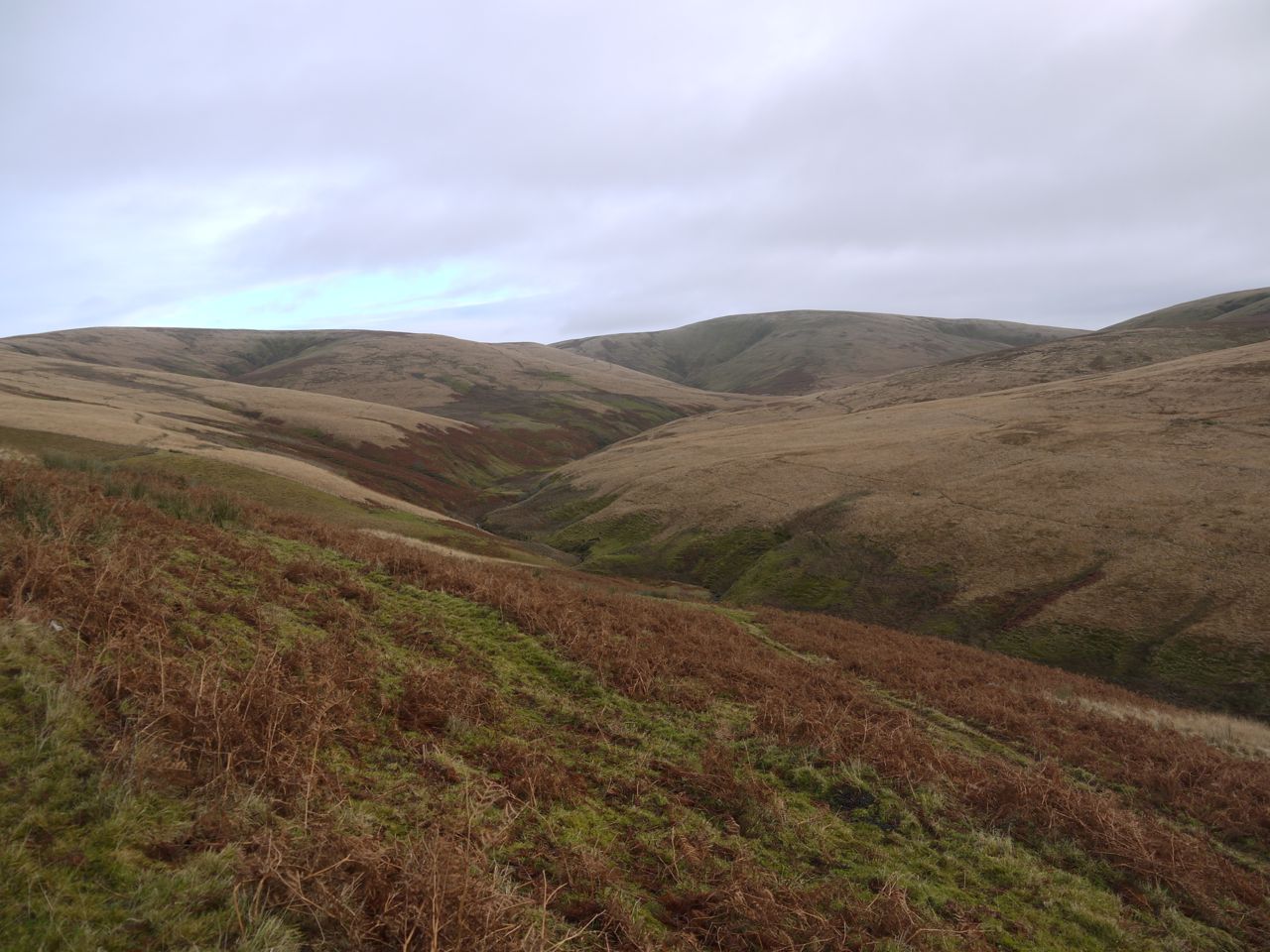
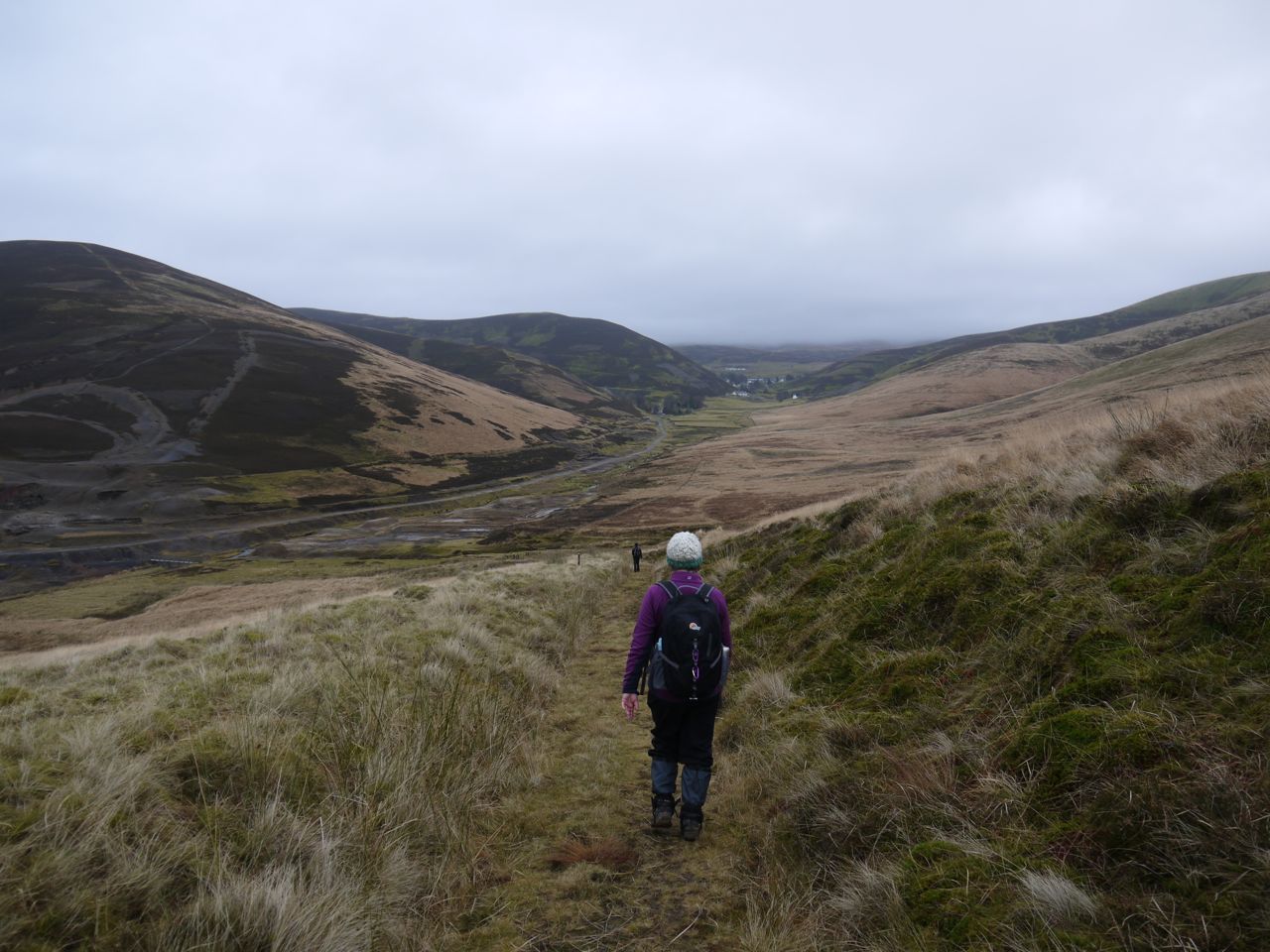
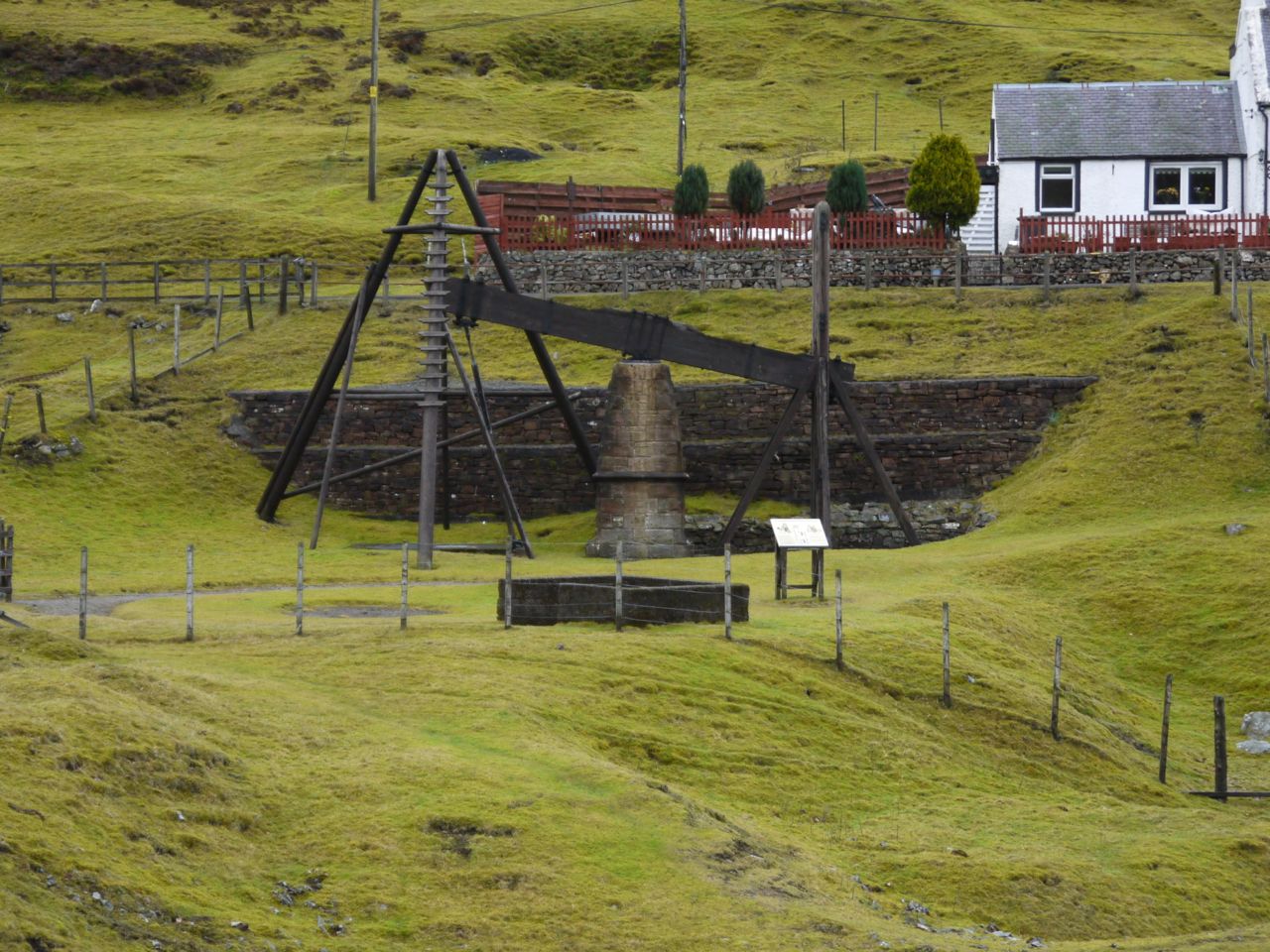
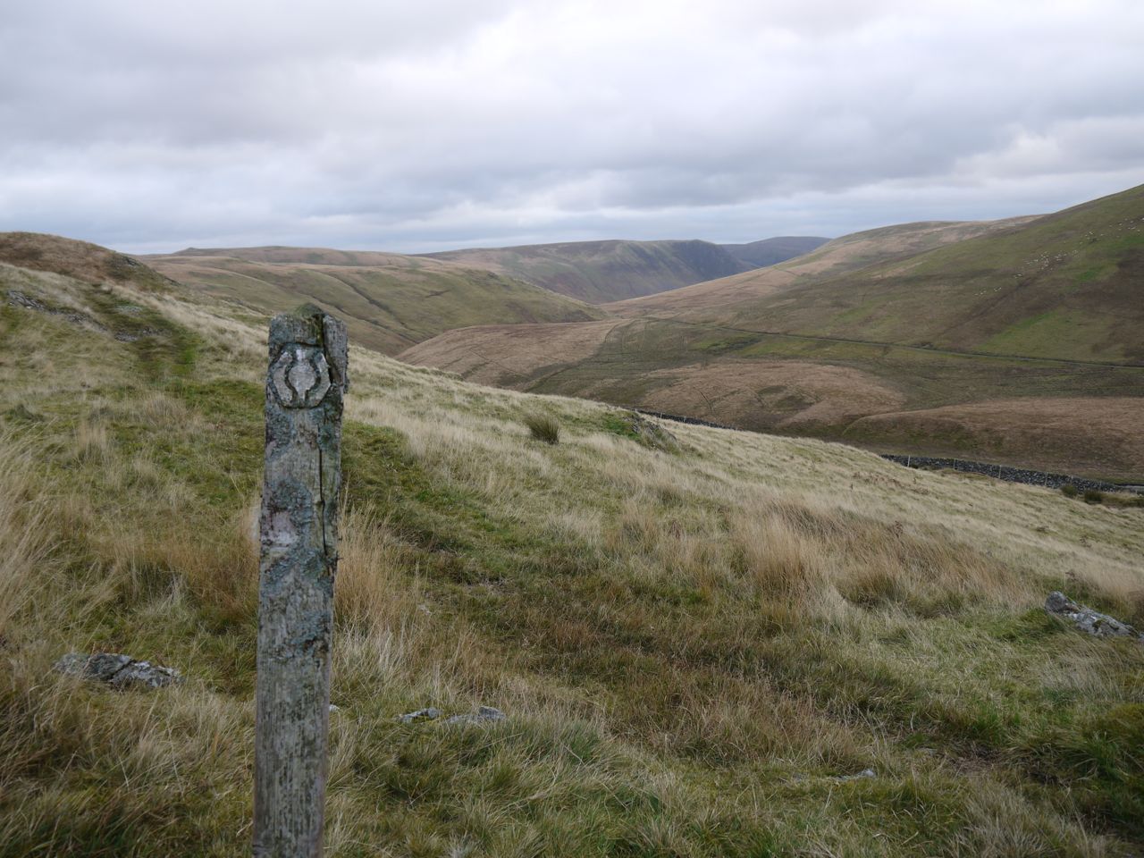
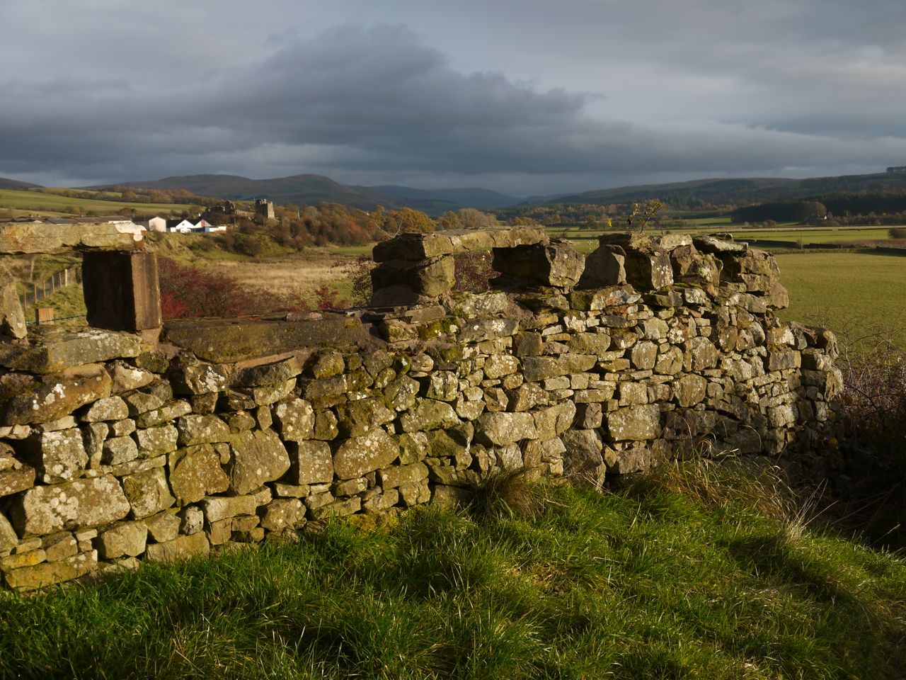
Another rainy day on the SUW, mainly drizzle but some heavy showers, so we wore rather than carried our waterproofs. We set off from the car park of the Lead Mining Museum at Wanlockhead, up a short steep section, past another playground and onto the slopes of Stake Hill. There were SUW posts aplenty and even a couple of seats, one a half log, the other a stile sans-fence.
Since I had walked up Lowther Hill this way before and recalled it was a straightforward route on obvious track or tarmac road I had stuffed the map into my rucksack, zipped it up and encased the lot with a waterproof cover. The seeds of my navigational downfall were sown.
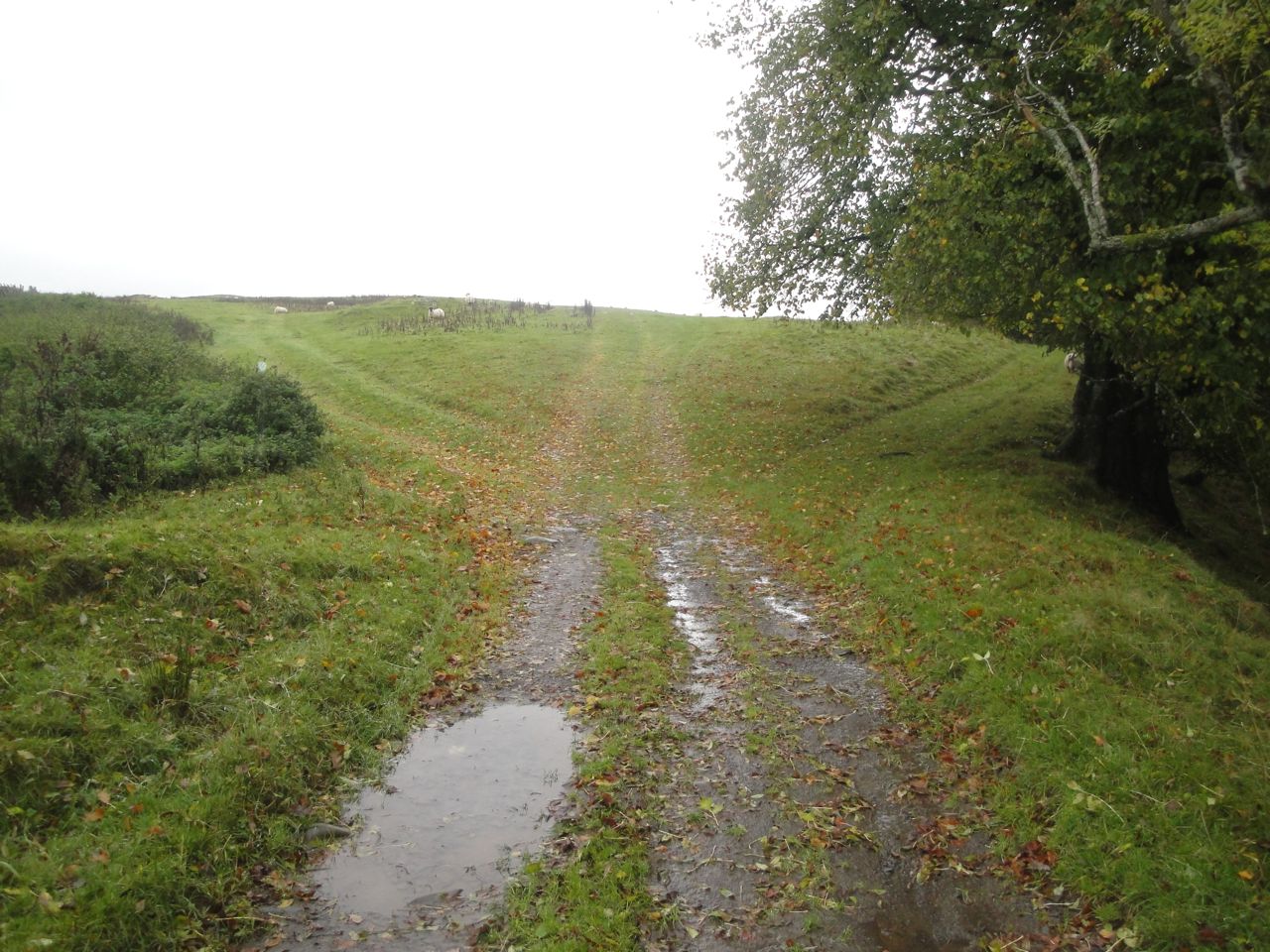
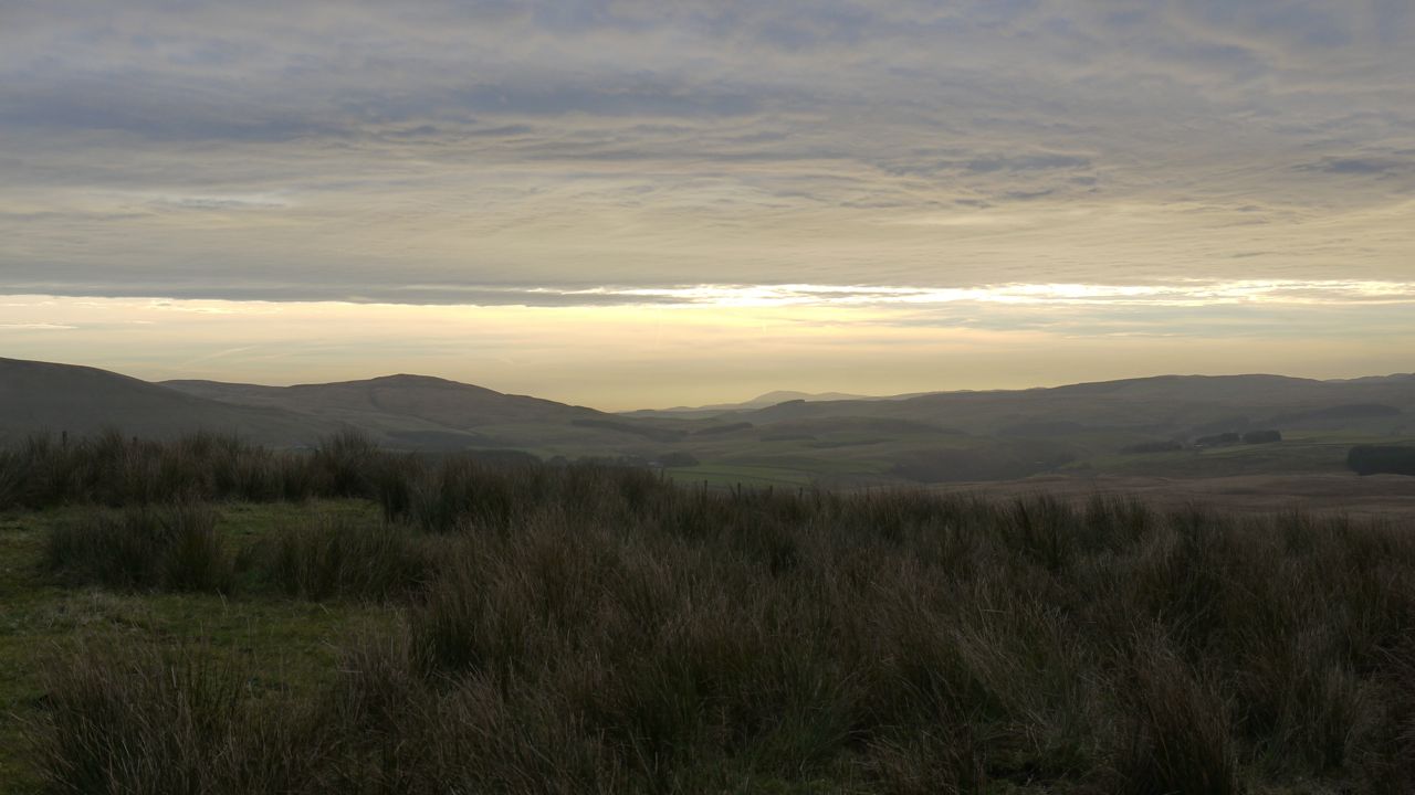
We huffed and puffed our way up the slope and into the low cloud and then we came upon a small bridge. I didn’t remember a footbridge on the way up last time and what’s more the bridge seemed to lead downhill. There were no SUW posts visible to guide us but common sense dictated that we needed to go uphill. So I turned away from the bridge, still on a track of sorts and continued uphill into thicker mist.
In the distance, we spied a post and made for it but it turned out to be a round post, not a square SUW marker. Other candidate posts turned out to be fence posts but I reasoned that as long as we were heading uphill we would soon meet the road up Lowther Hill. We passed a small stone, like a milestone, but then we began to head downhill. We could not be where I thought we were.
There was nothing to see in the mist to get our position so I dug out the map and compass and got our position from the GPS. I had led us too far up Stake Hill and the “milestone” had likely been the summit. We needed to head south to get back on track. This was a real eye opener, because south was virtually opposite where we thought it was. Despite thinking I had been walking in the same general direction we had turned a half circle.
Compass guiding our way this time, we set off southwards over the moorland, passing another post which wasn’t an SUW post and when we came out of the thicker mist we spied the road just below us, a track of sorts leading to it. What a relief to be back on track. So if you reach that wee footbridge, cross it. Presumably there will be a SUW post just beyond it.
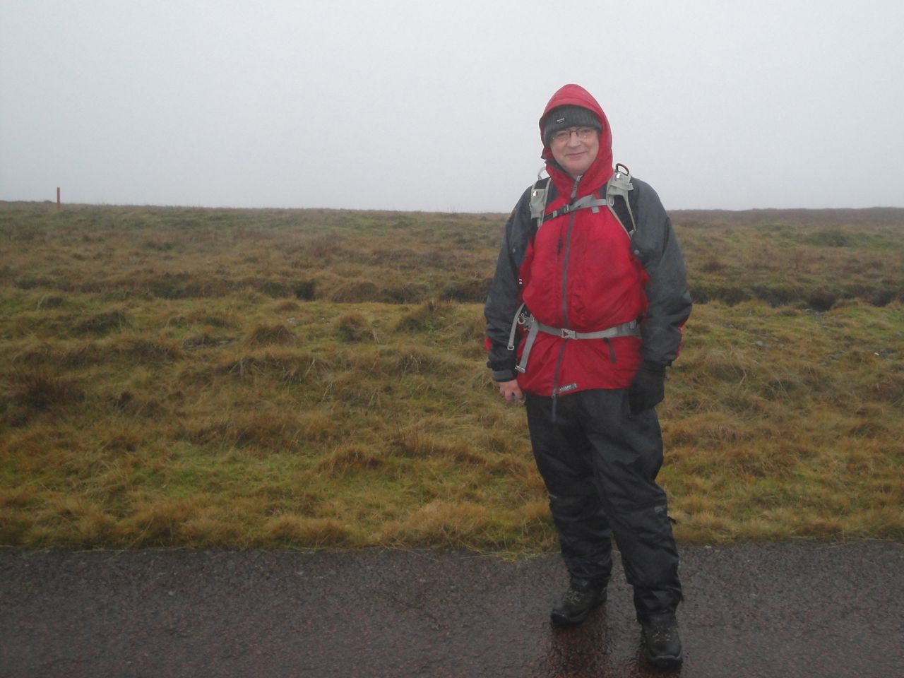
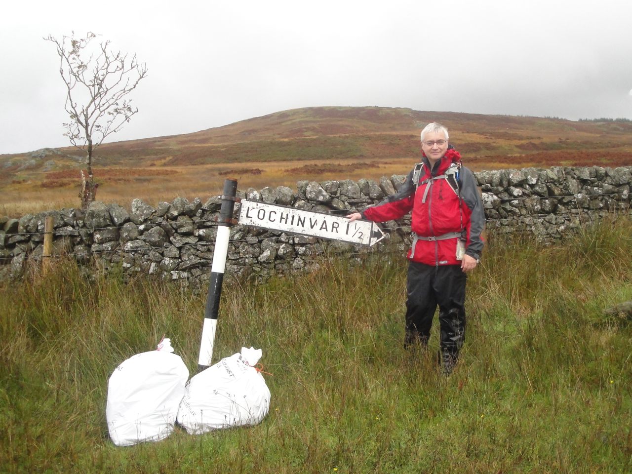
Mike after leaving D&G. The red post in the background is the county boundary.
The road zig-zags up Lowther Hill but there are grassy tracks taking a more direct route and crossing the road several times. These follow the route of the county boundary marked by red posts beside the fence (the South Lanarkshire and Dumfries and Galloway boundary). After 110 miles of Dumfries and Galloway on the SUW, we crossed into Lanarkshire without any fanfare. We did celebrate with a pat on the back though so one can say we don’t push the boat out when it comes to celebration.
At Lowther Hill (725m) we reached the highest point of the SUW and Audrey bagged her first Donald hill. I reasoned that if we were at the highest point it must therefore all be downhill from there, but the SUW’s roller coaster section from Lowther to Overfingland was to teach us otherwise.
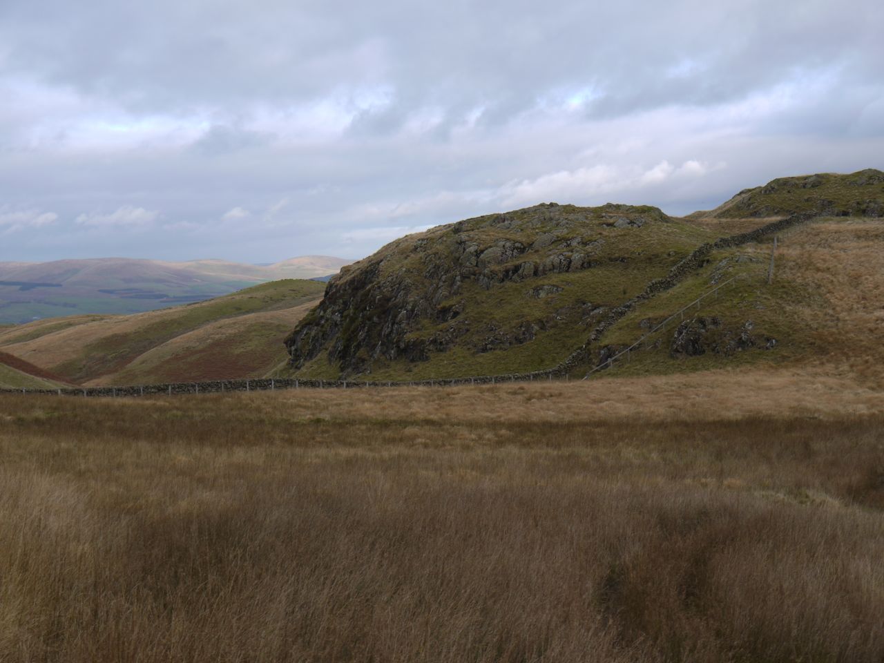
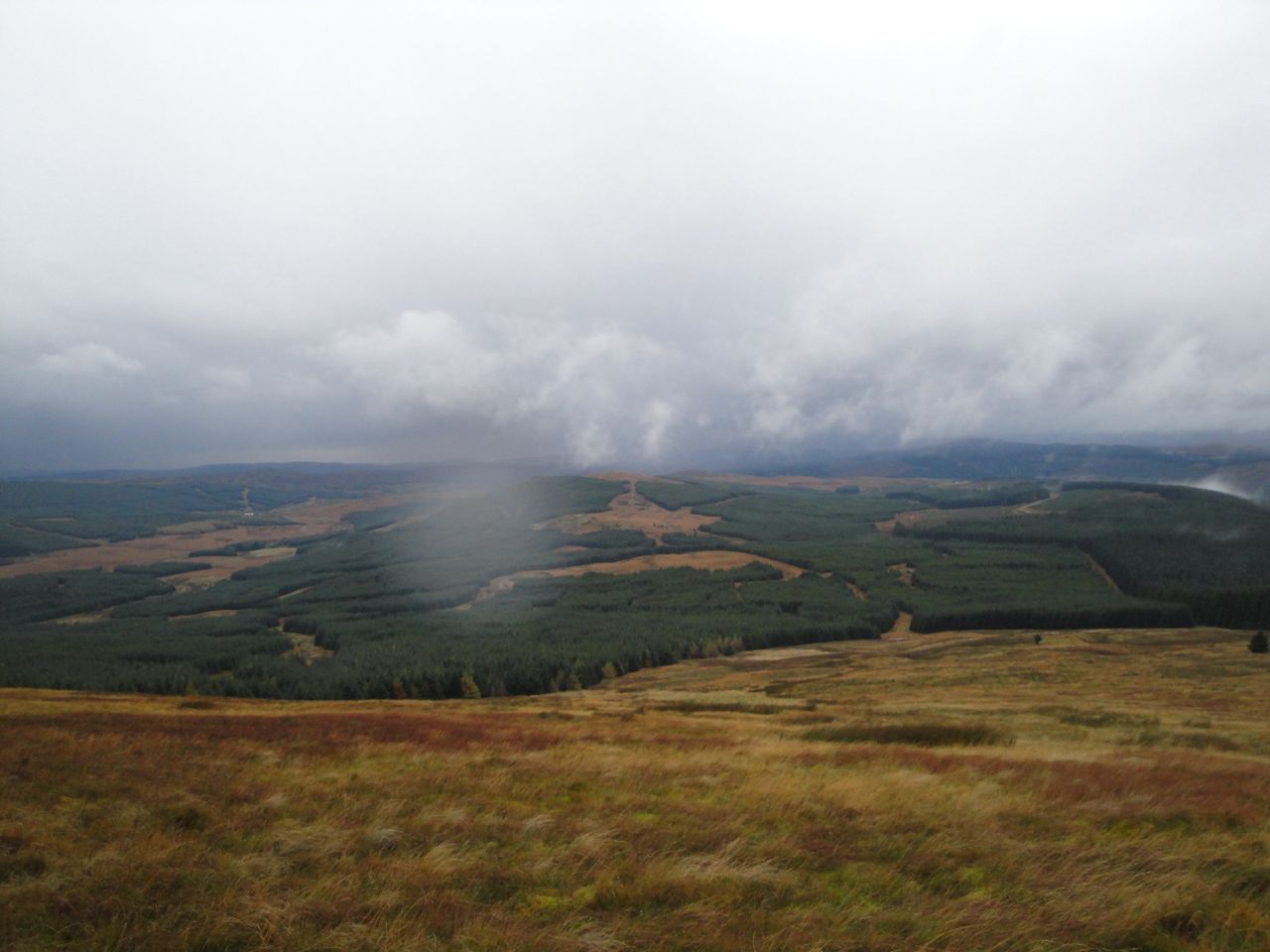
The visibility was so limited on Lowther Hill that we couldn’t even see the buildings from the gate. Closer we could just make out the radar equipment and it looked as though the golf-ball covering was missing. Since the visibility was so limited we followed the fence until we found an SUW marker. The OS map has the SUW following the fence along the Cold Moss-Comb Head ridge but the way-markers diverge from the fence by quite a distance on the way to Cold Moss. This was a welcome downhill stretch and we spotted several white-coated hares on the slopes, bounding up the hills much quicker than we could have managed.
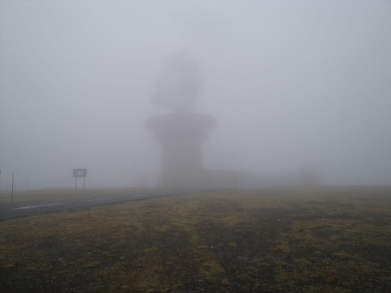
Lowther without its golfball (more visible on photo than naked eye)
Approaching the dip before Cold Moss the SUW was taking us quite a way east of the ridge but I wasn’t keen to lose so much height so I took us back towards the higher ground only to head back to the SUW when I found how steep the western side of the col was. So much for that short cut.
I had told Audrey that the dip between Cold Moss and Comb Head was negligible (keep morale up eh?). Comb Head didn’t even make the cut as a Donald top with its measly 13m of drop. Imagine my surprise, and Audrey’s, then when we were confronted by the huge steep slopes of Comb Head towering above us. That wasn’t how I remembered it. Audrey was rendered speechless. I’m sure we both looked as if we had been sucking lemons.
But there’s no point in crying when your face is already wet with rain and with the best will in the world I couldn’t think of anyone else to blame so with our shoulders slumped we set about climbing the mountain before us. One minute and 40 seconds later we were at the top, astounded. It’s amazing how mist can mess up perception. It really was a negligible dip.
By now the wind had picked up. Not strong enough to make walking difficult but pouring coffee would have been out of the question if we stopped for lunch. We tried sitting in a small hollow but that wasn’t much better so lunch was deferred.
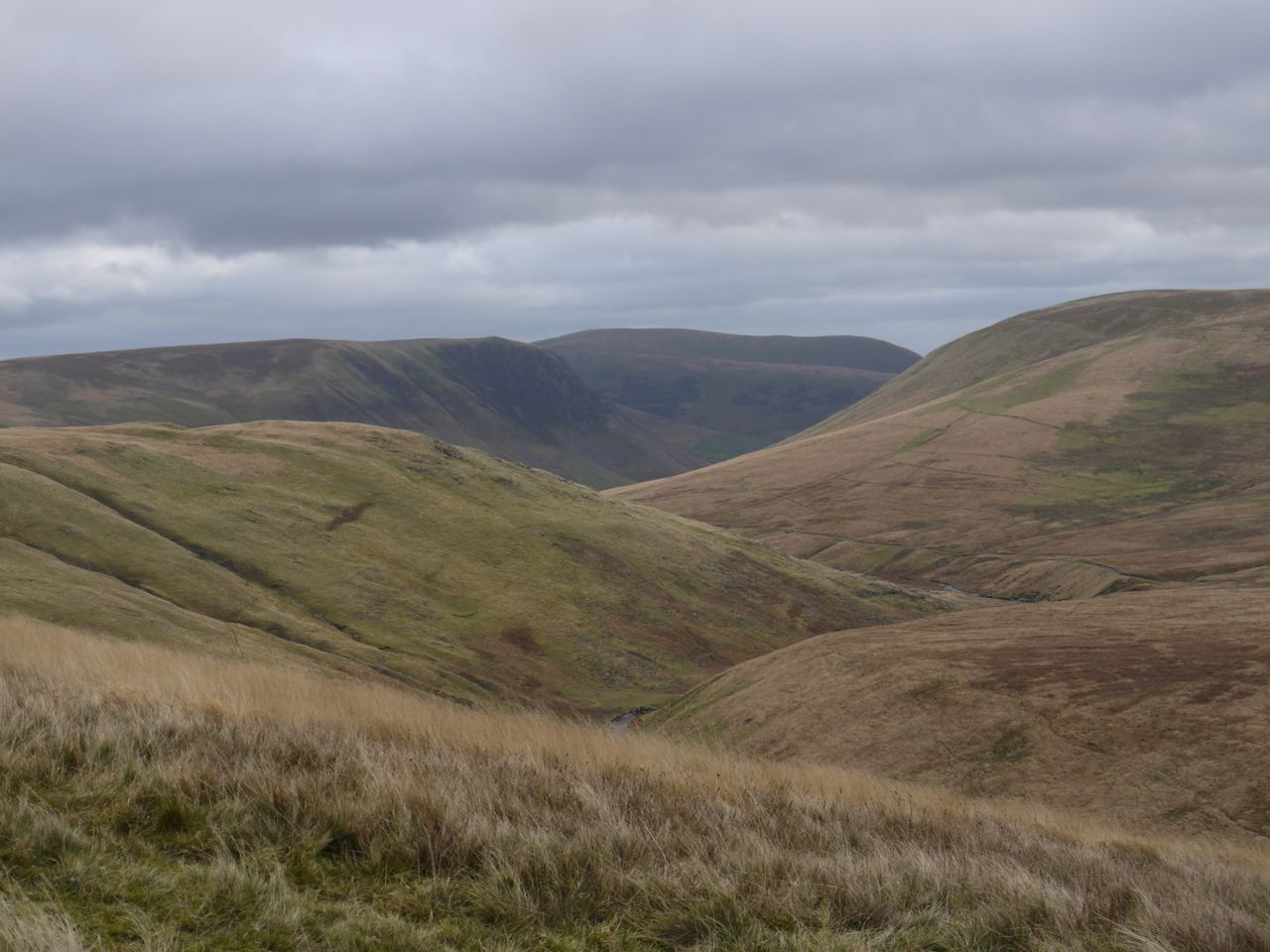
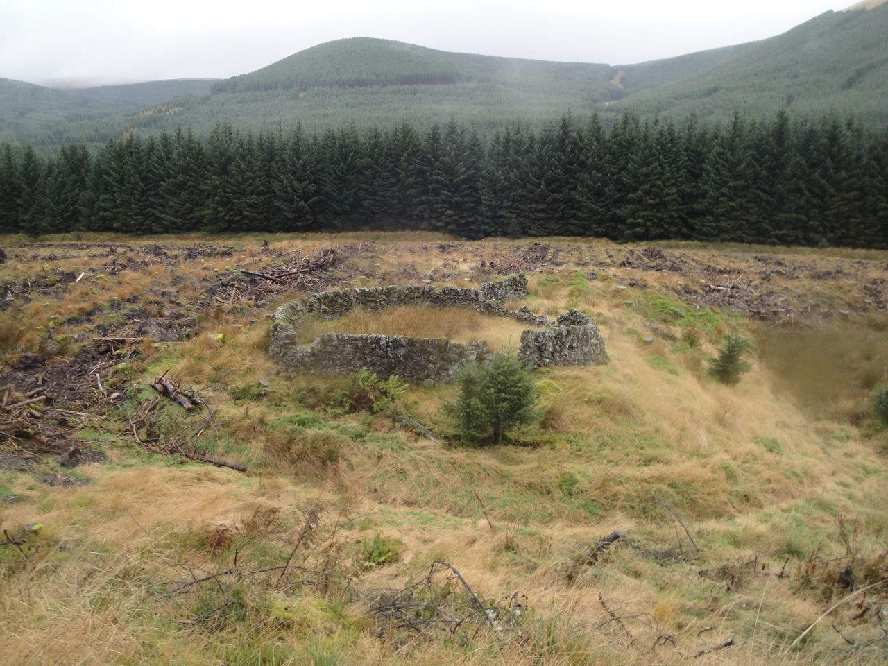
The dip between Comb Head and Laght Hill was the roller coaster at its best. The descent was steep enough to challenge our knees and thighs while keeping us alert to avoid slipping on the wet grass or mud. And after that we had a steep climb up Laght Hill which we chose to attack as several very short climbs with pauses to gaze at the stones of the ruined wall beside us.
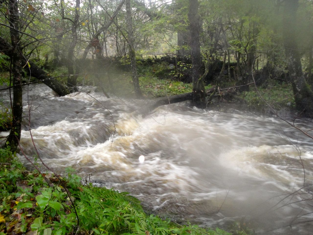
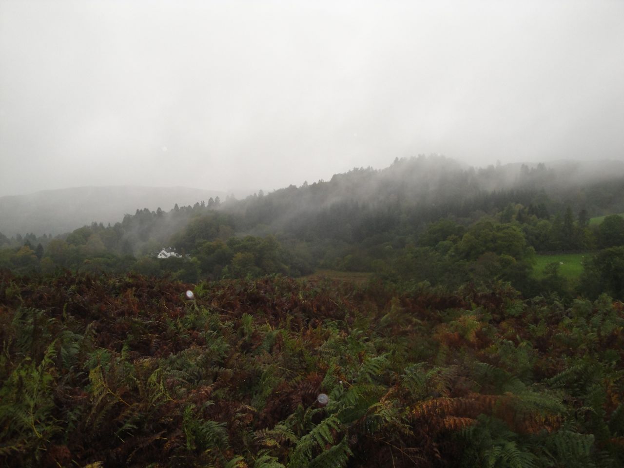
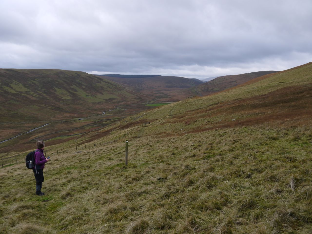
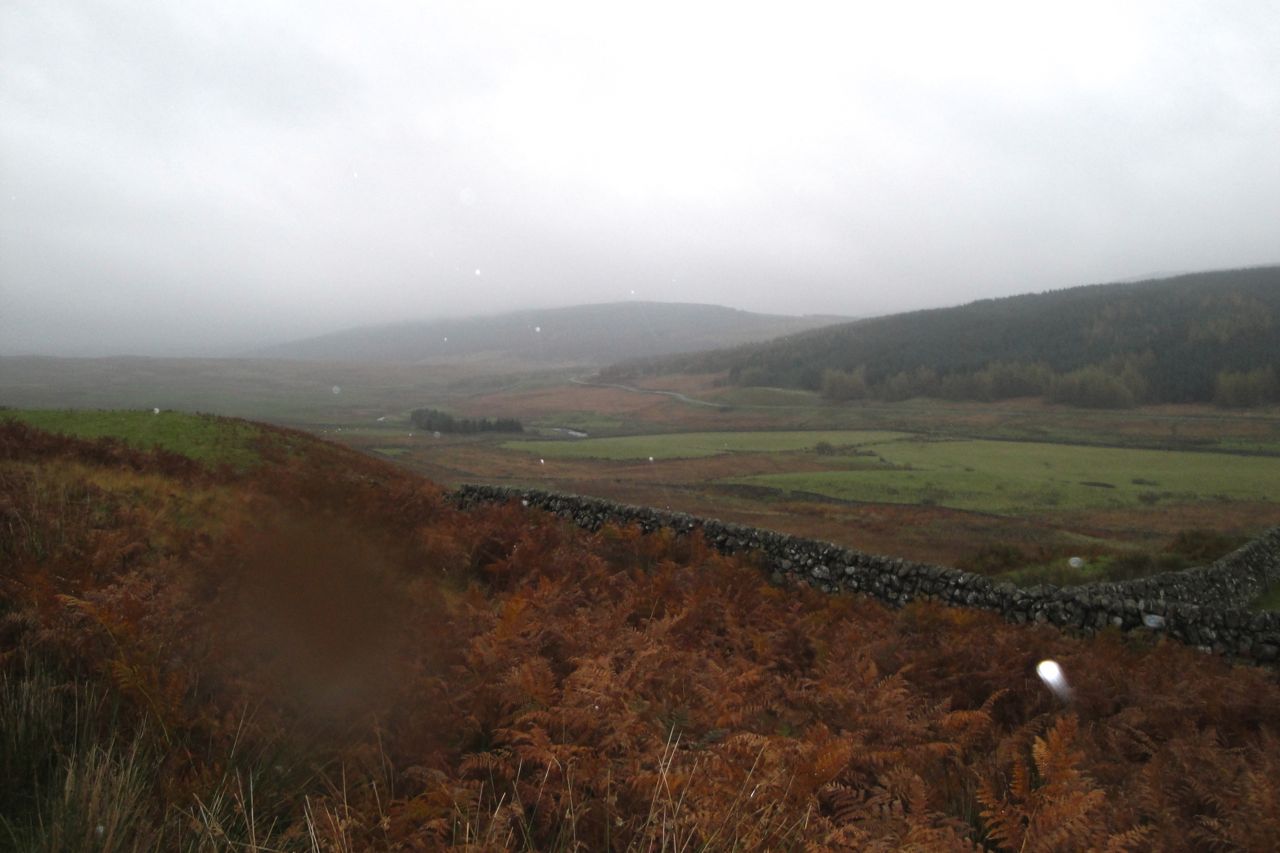
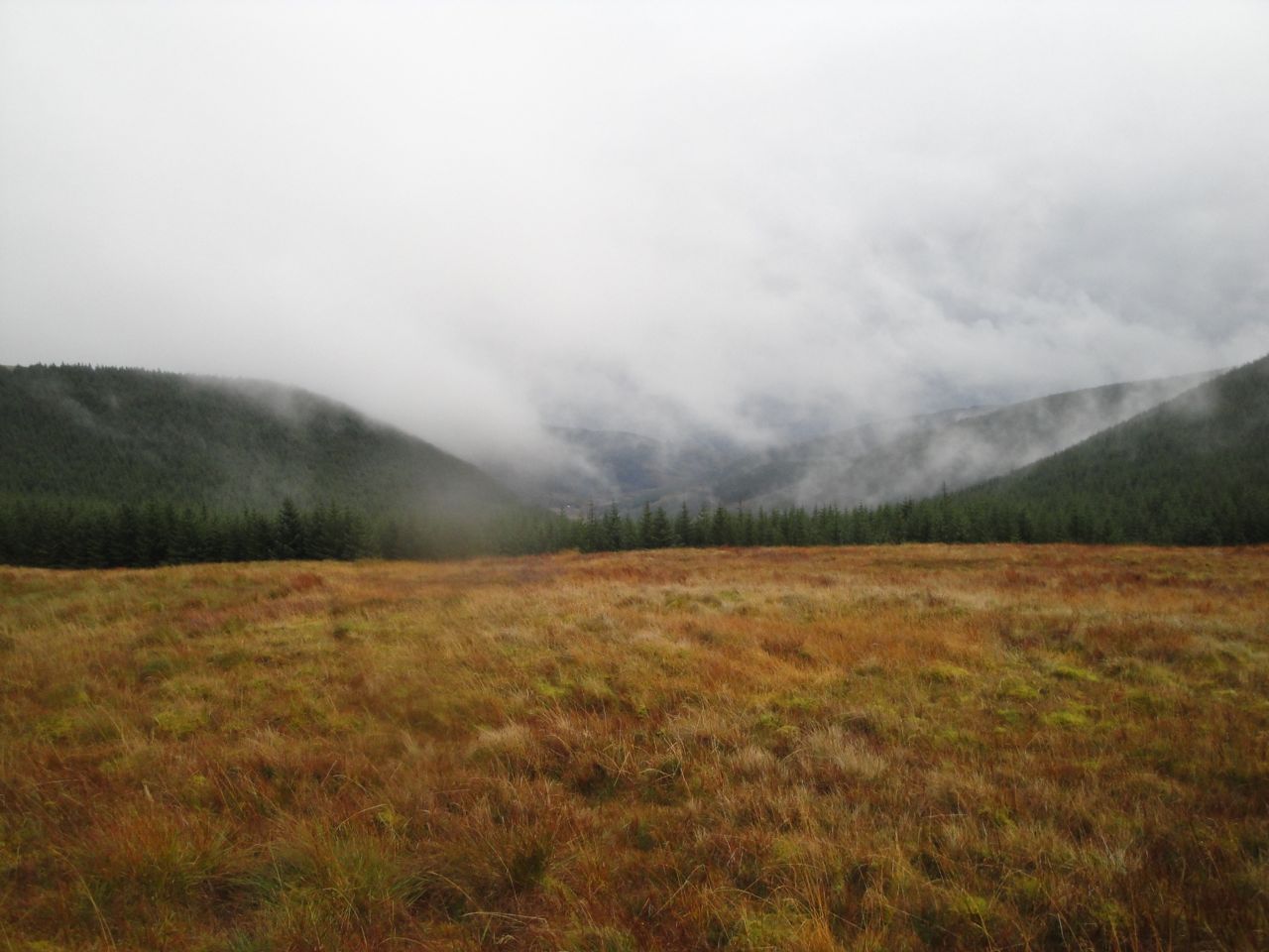
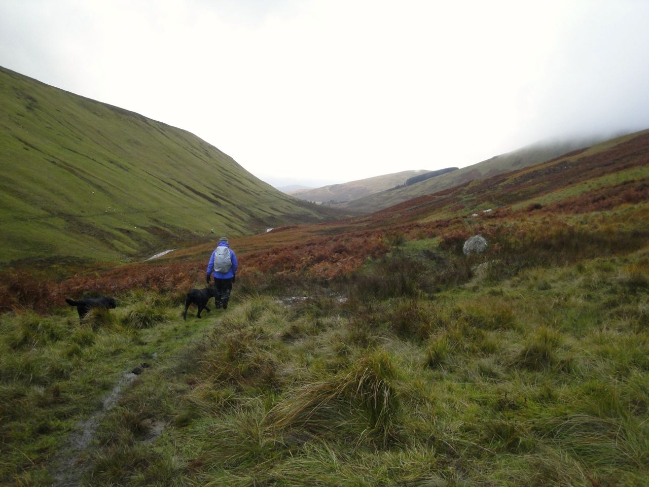
From Laght Hill, with its wee cairn we followed the SUW beside a wall, down through boggy ground to a ladder stile over the wall above Overfingland. This ladder has been designed for someone with a greater reach than mine and was a bit tricky with its slippery steps. The path down to the A702 was even boggier. In descending we escaped the low cloud. My eyes were drawn to the valley beneath us while eagle eyed Audrey spotted a mouse as we walked down.
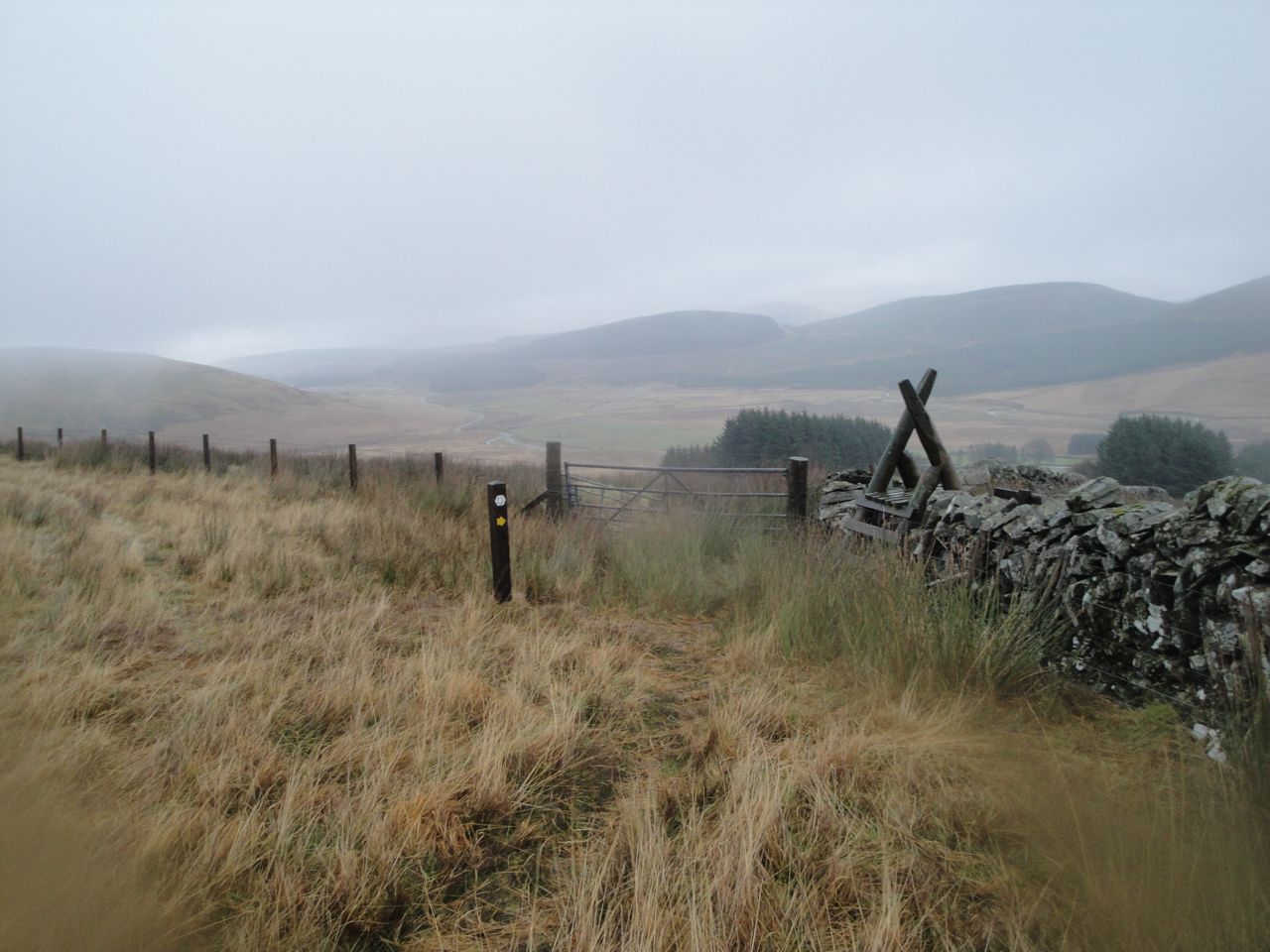
Above Overfingland
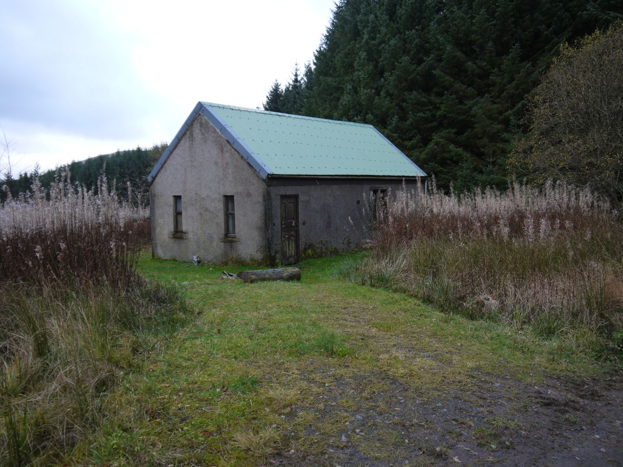
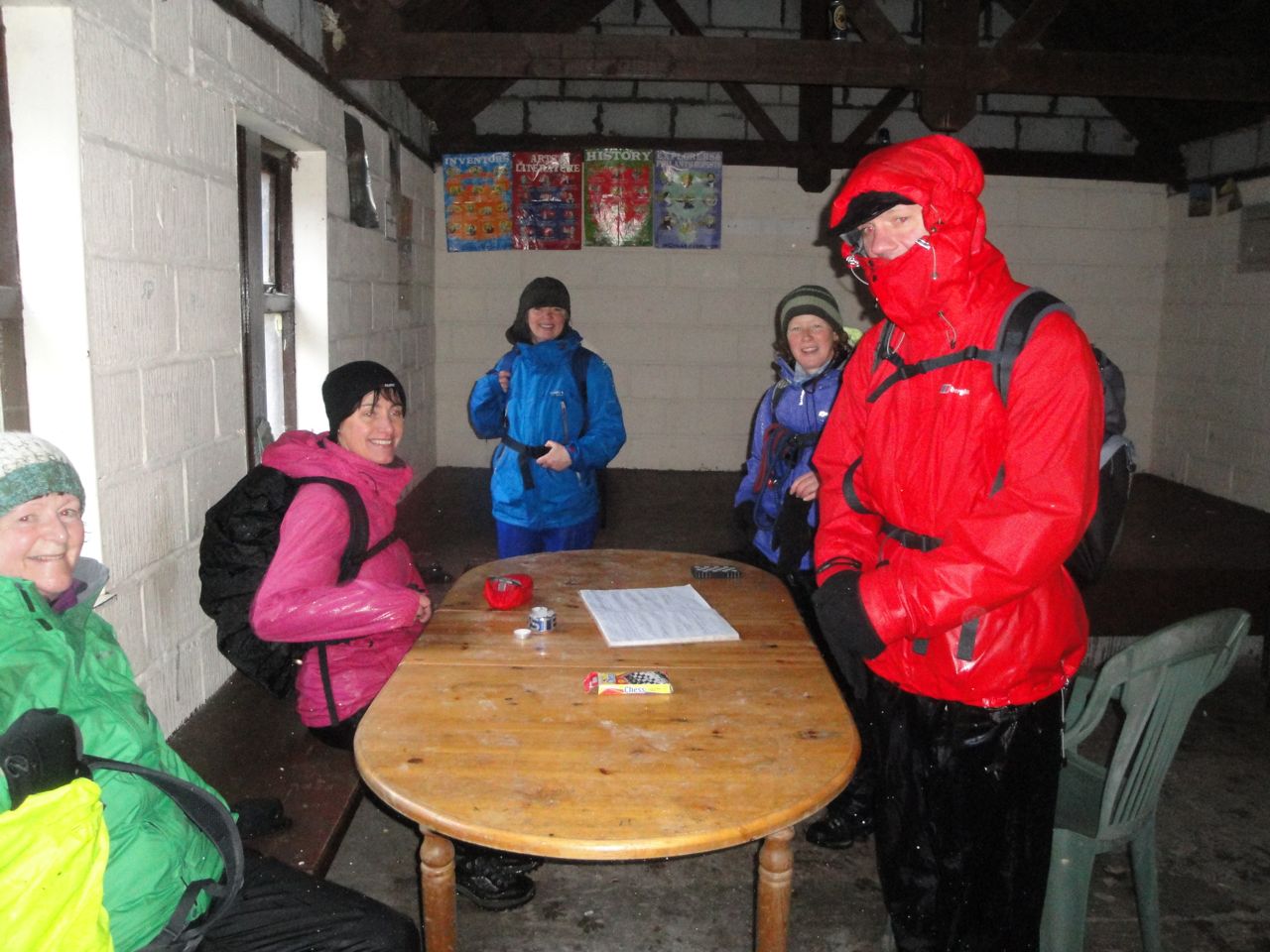
Once off the hills we looked for somewhere sheltered for lunch. The lee of a derelict hut looked our best bet, and the doors were wide open so we rested with a roof between us and the rain.
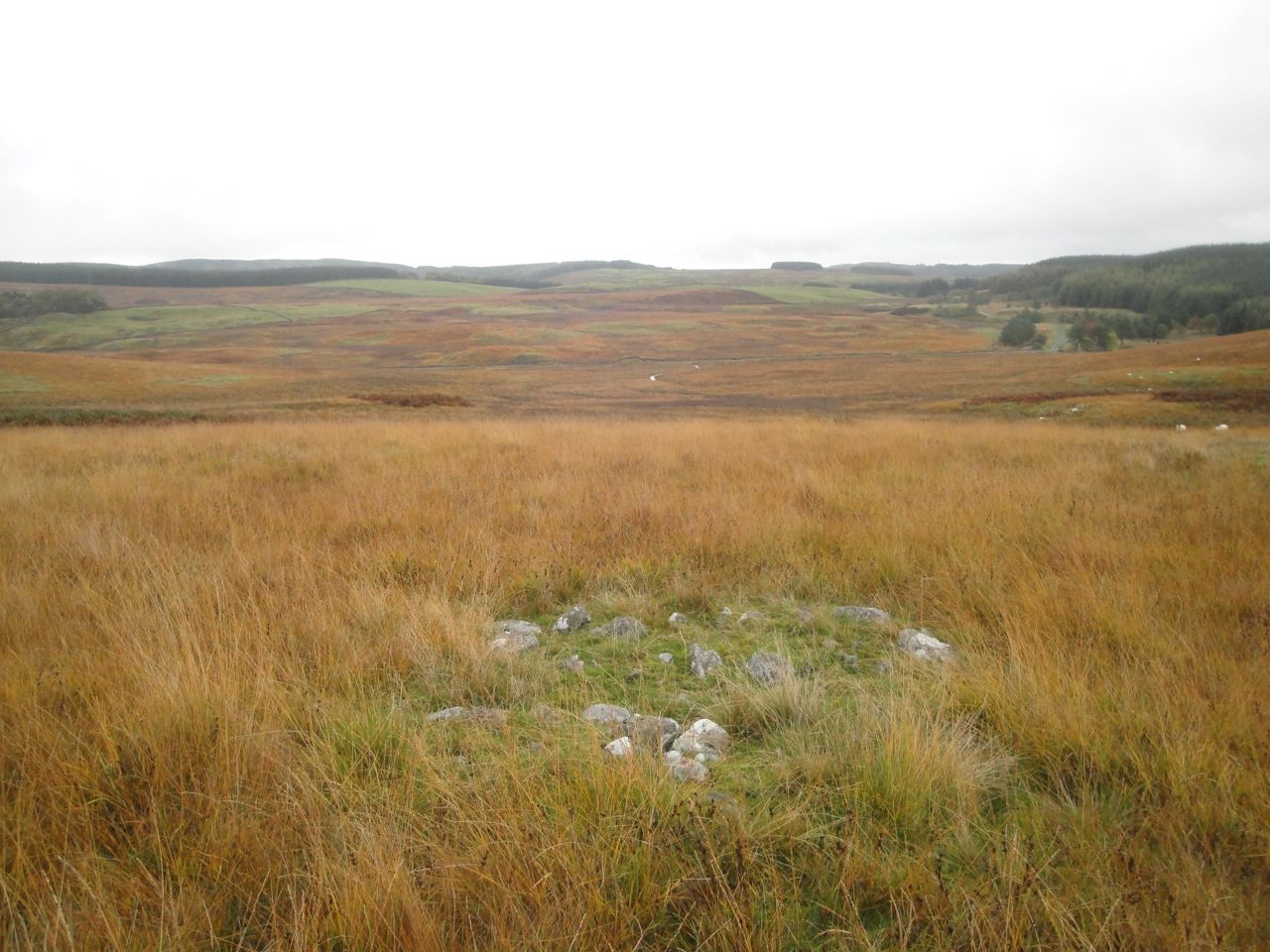
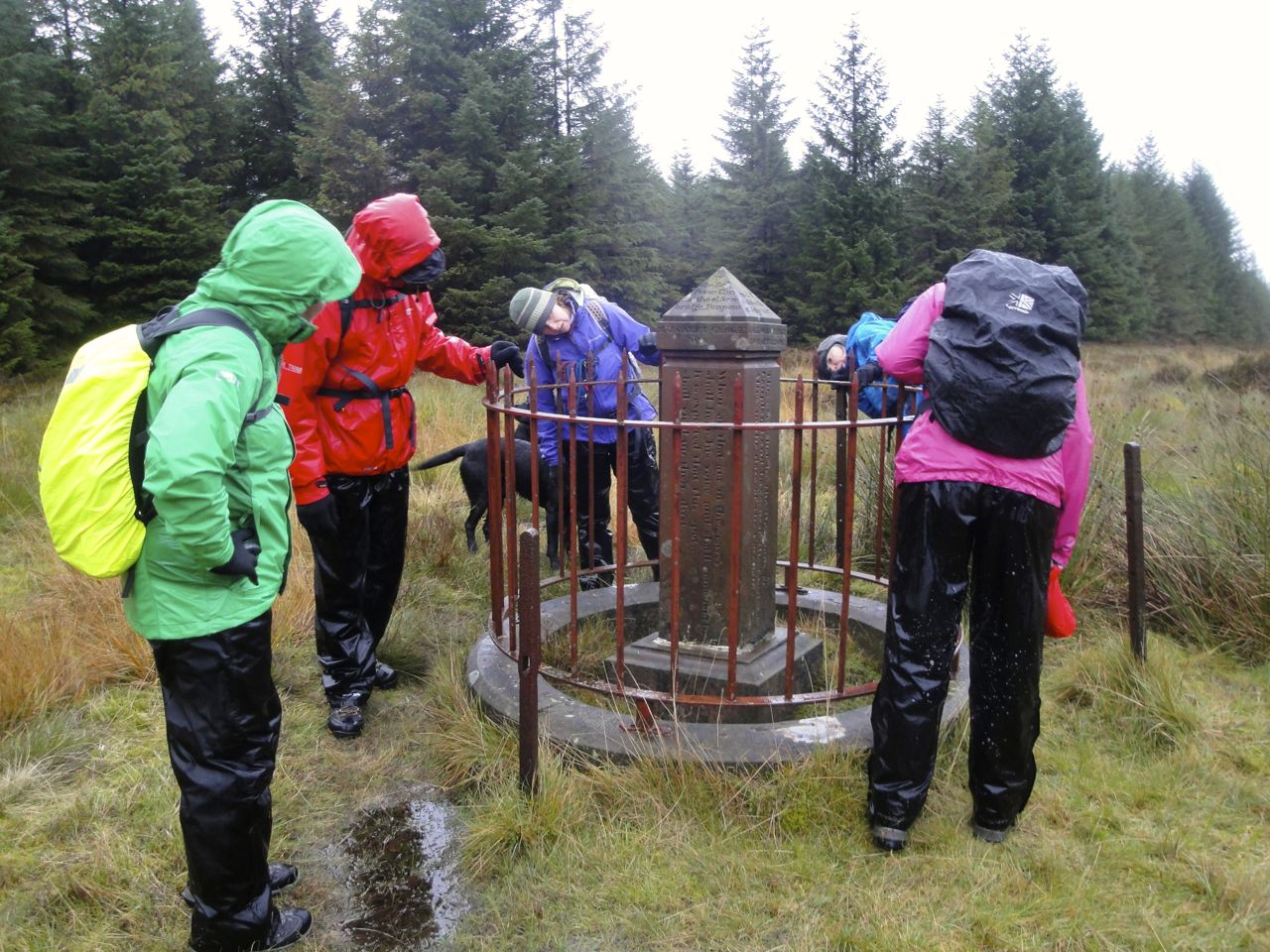
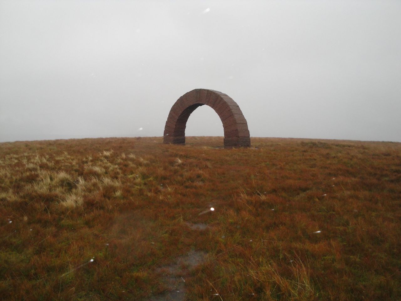
Between Lowther and Overfingland we had found an SUW post with an Ultreia plaque and though we searched carefully as we walked on, we had not found the hoard by the time we reached the next Ultreia post. The section we had walked while searching was not one we relished doing again so we accepted that we had missed this hoard. It was just about then that I spotted something unusual. I clambered over to it and there was the kist, coins and all.
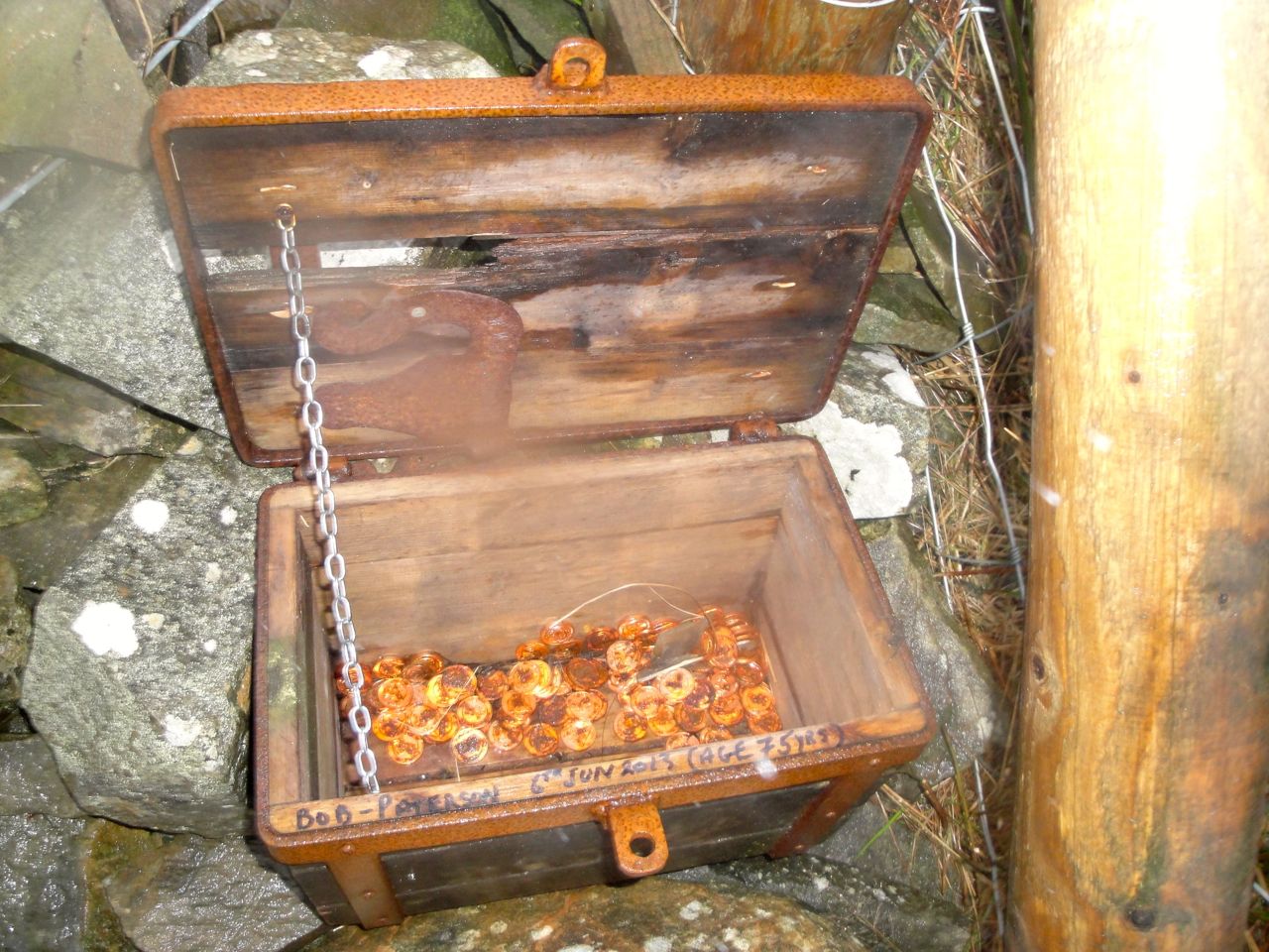
Treasure on the SUW
Walking along the A702, on the right side of the road (facing on-coming traffic) a car from behind us, passing in the opposite carriageway, blared its horn and swerved onto our side of the road in front of us. Why I do not know. We weren’t blocking the road and there were no other cars. I wondered if it was someone who knew us or perhaps mistook us for someone else?
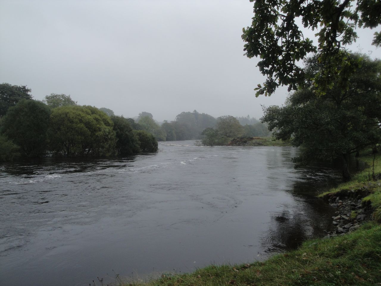
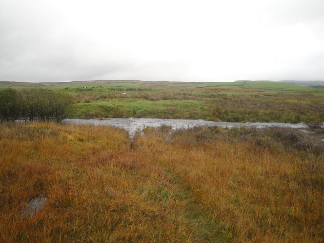
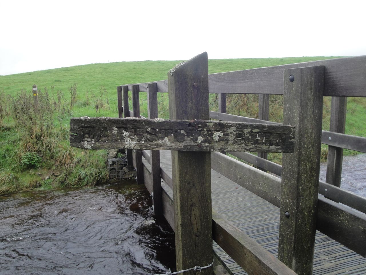
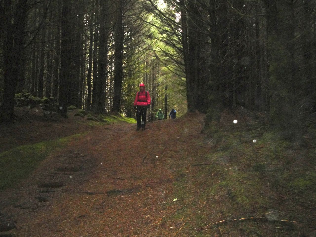
Happily we weren’t long on the road, leaving it to cross a boggy field to a footbridge over Potrail Water. A sign told us were in Watermeetings Forest. The waters that meet a couple of miles north of there being the Potrail and Daer Waters which combine to form the River Clyde.
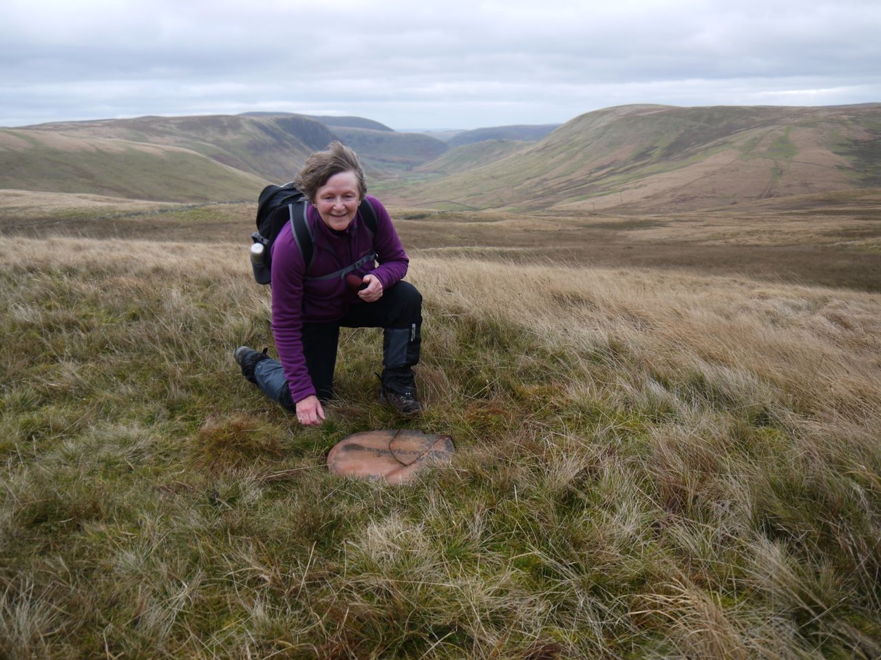
This would I think be a watery place to walk but the SUW is raised on an embankment which winds through new plantings of both conifers and broad-leaved trees, the latter empty of leaves but covered in lichen. The SUW soon joins a forestry track that climbs the col between a couple of wee hills, Coom Rig and Little Shag then crosses the lower slopes of Comb Law. Along here, opposite a sheepfold at the end of a stand of trees is a lonely SUW post. We had our photos taken near it since it is the SUW’s halfway point. It is certainly the SUW post closest to halfway. Since we were both driving, I hadn’t brought the champagne.
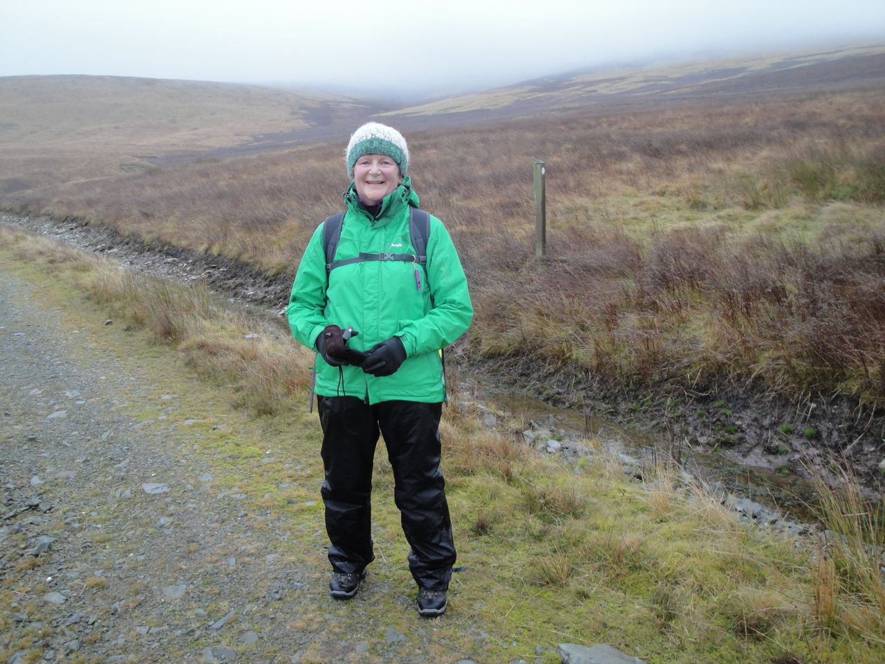
Audrey halfway along the SUW (117 miles walked)
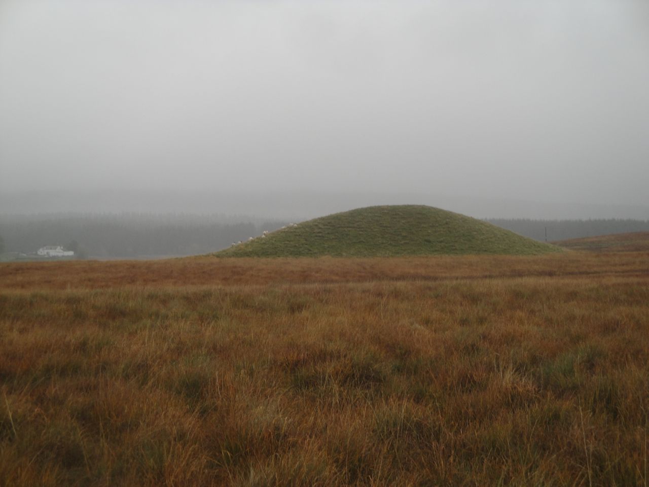
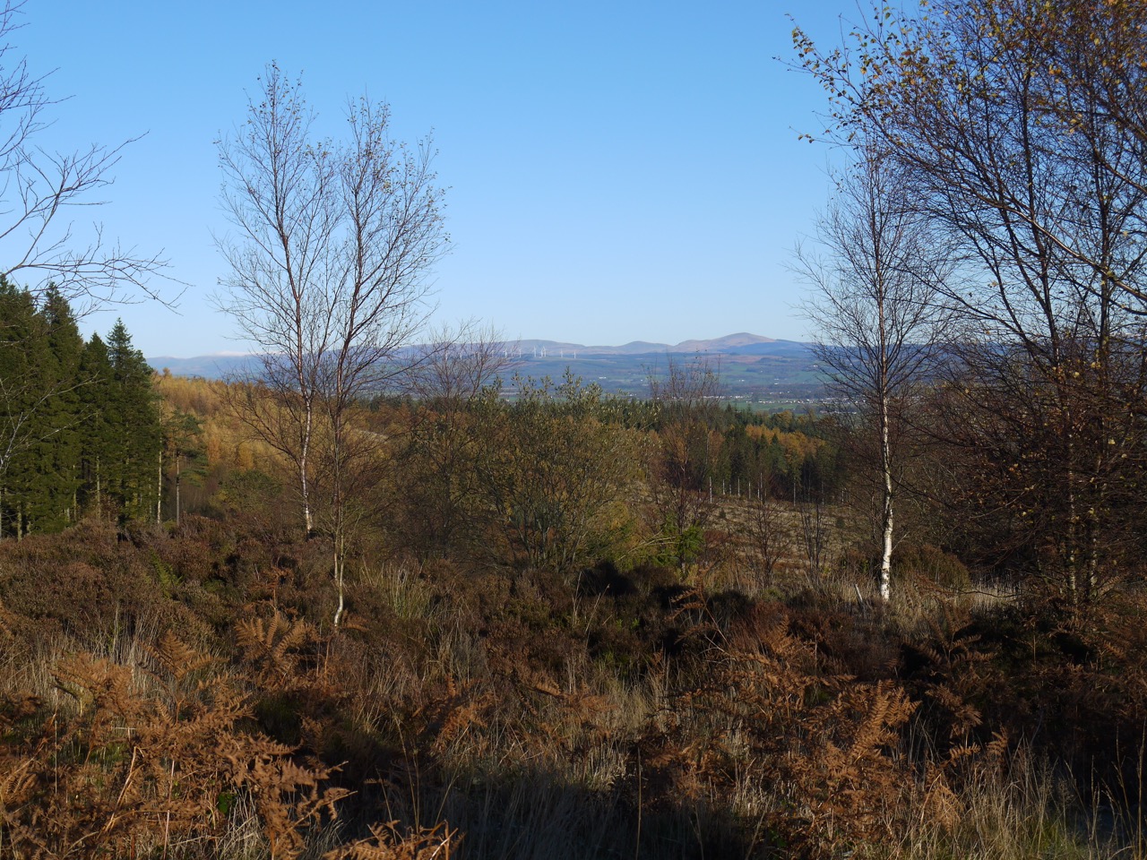
We plodded on along the forestry track and eventually had our first glimpse of Daer’s grass covered dam. The hares here were still in their brown fur and though there were warning signs for deer but we did not see any. We crossed the dam along its grass covered top, the cloud level shifting as we walked giving us some views of the Daer hills across the water and a tree line from Ae forest peeping up over the horizon, Dumfries and Galloway just a couple of miles away.
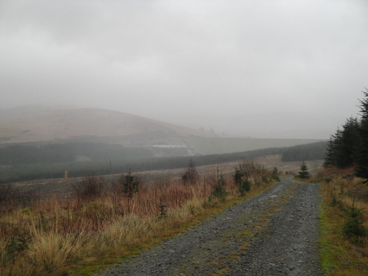
Daer Dam in the mist
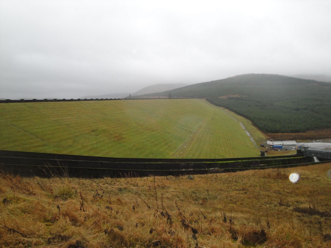
Daer Dam
We had left a car in a large clearing near the waterworks, close to a road sign for a playground (but with no evidence of a playground). I had looked at google earth and thought there might be a lay by up near the eastern end of the dam where I could park, but this is actually an overflow from the dam with nowhere to park. Having walked past this, and effectively crossed Daer water I felt that we had closed this section by crossing the headwaters of the River Clyde.
And as if the walk wasn’t enough, back at Wanlockhead for the car, who should be in the car park but Santa…well, Mrs Clause actually (no beard).
[sgpx gpx=”http://www.screel.co.uk/walks/wp-content/uploads/2013/12/RK_gpx-_2013-12-08_0922.gpx”]

 Dundeugh Forest is bounded by the Waters of Ken and Deugh, and became an island with the damming of these rivers to create Kendoon Loch.