9.13 miles 6h 19m 378m ascent
Youlgreave to Grangemill
I remember this walk as being in warm sunshine, but the photos show we started beneath a cloud-filled sky. The route was mostly downhill, though it wasn’t really noticeable and there were a couple of climbs out of dips. The Limestone Way swings east to Bonsall Upper Town, leaving the north to south direction of most of the route, before swinging back. A vestige from the original route that ran from Matlock to Castleton.
We parked near the River Bradford and crossed it using the stone clapper bridge. I couldn’t help feeling that it was much older than the road bridge a few metres downstream.
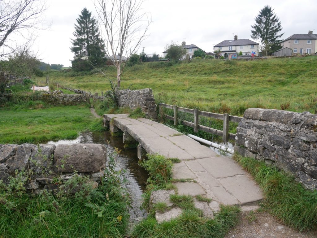
Clapper Bridge
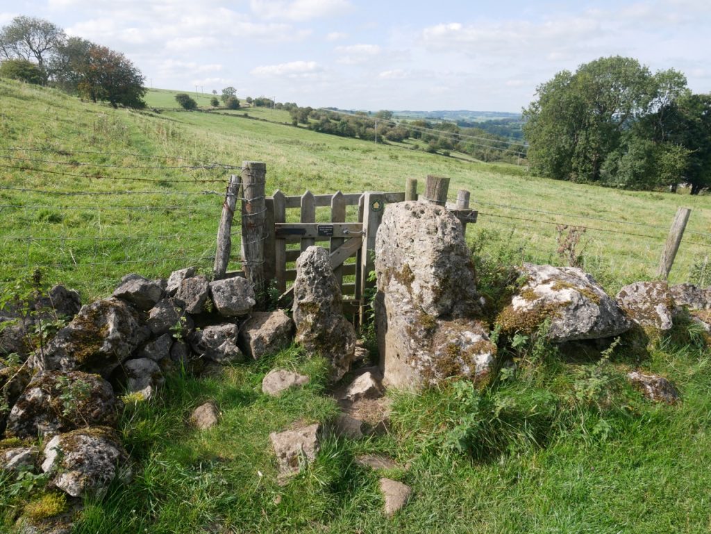
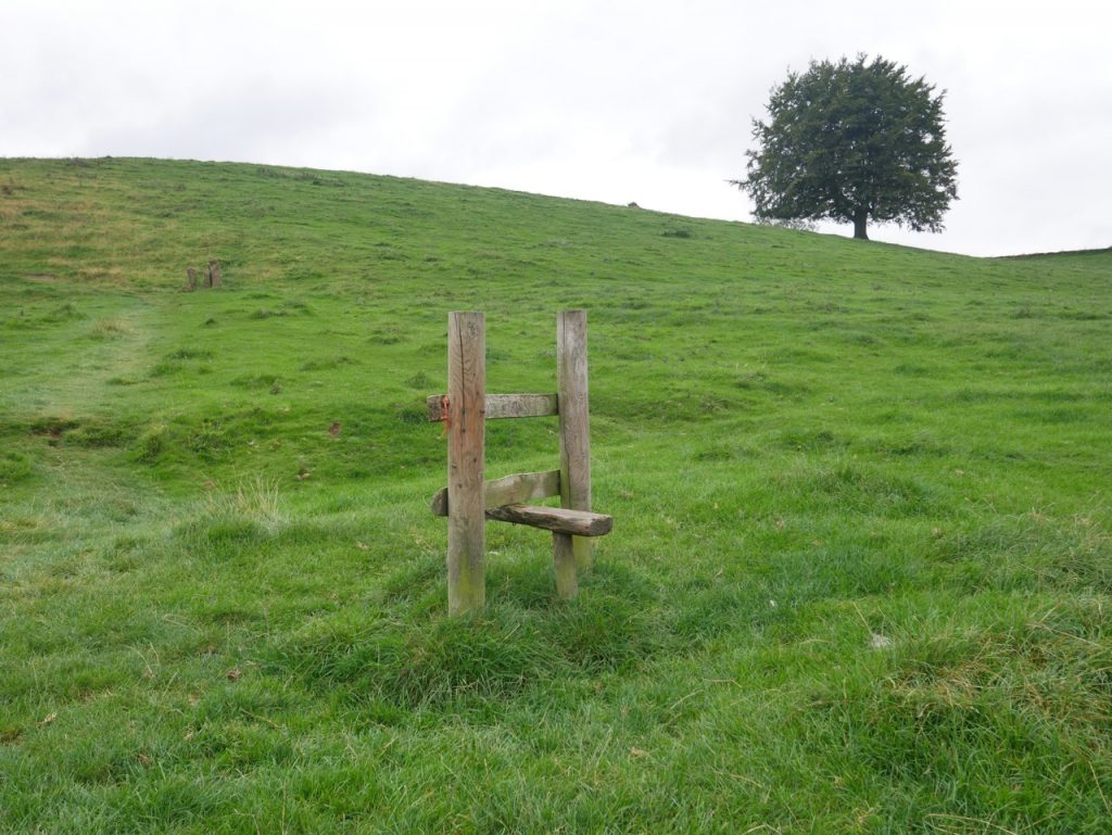
A sign by a squeeze gap on Mawstone Lane directed us into a grassy field where we followed the trodden grass up to the woods on the hill’s ridge. A local walking his dog had watched us getting through the squeeze, commiserating with us and explaining that he had to lift his dog over these. Squeeze stones and stiles standing alone suggested that there were once more field boundaries here.
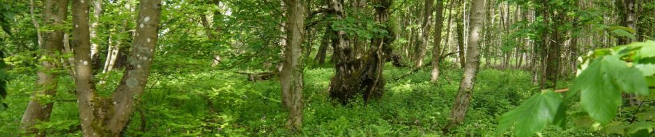
We climbed through Spring Wood, walking under larch, ash, sycamore and beech, then turned left along a minor road. The next 3 or 4 kilometres of our route would follow that of on ancient trackway, The Portway or Portweg which once ran from Mam Tor at Castleton to the Hemlock Stone near Nottingham.
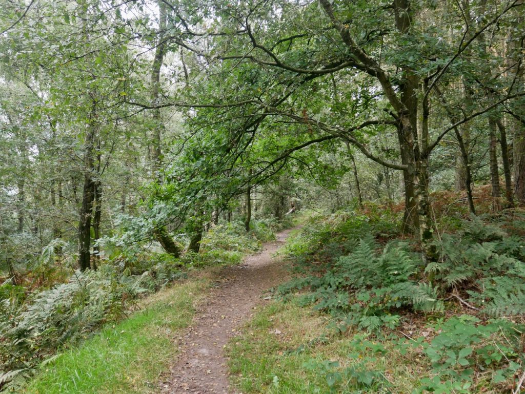
Spring Wood
We left the road, squeezing through another stone gap into fields and headed towards a rocky outcrop on the ridge. This is Robin Hood’s Stride, an outcrop of gritstone also known as Grain Tor or because of its two ‘chimneys’, the Mock Beggar’s Hall. I had wondered what the hero of Sherwood Forest was doing in Derbyshire, but this is a much older version of Robin Hood, the Green Man of pagan mythology. Legend has it that in ancient times he had stood astride the tor and urinated into the fields below, turning to stone nine maidens unlucky enough to be dancing there were. And they are there still, a stone circle known as the Grey Ladies or Nine Stones, though there are only four now. It’s interesting how history survives in the names of this ancient place.
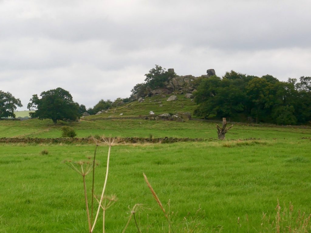
Robin Hood’s Stride (Don’t get pee’d on!)
Over the ridge the Cratcliffe Rocks jutted from the trees to our left. We headed downhill to join a well maintained vehicle track down to the bottom of one of the dips I mentioned earlier.
We headed up Dudwood Lane, a very minor road, then across Elton Road to walk along the tree lined Islington Lane, which is really little more than a footpath. Grey Tor was off to our left but almost hidden in a stand of trees.
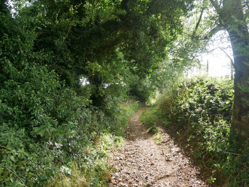
Islington Lane 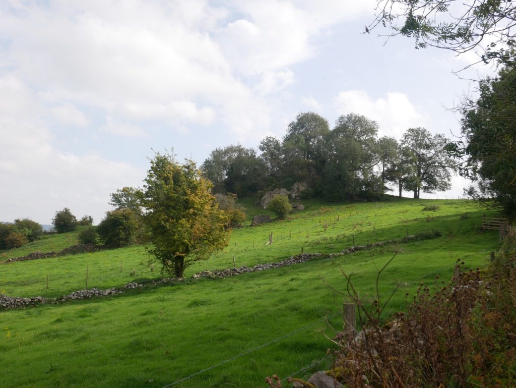
Grey Tor
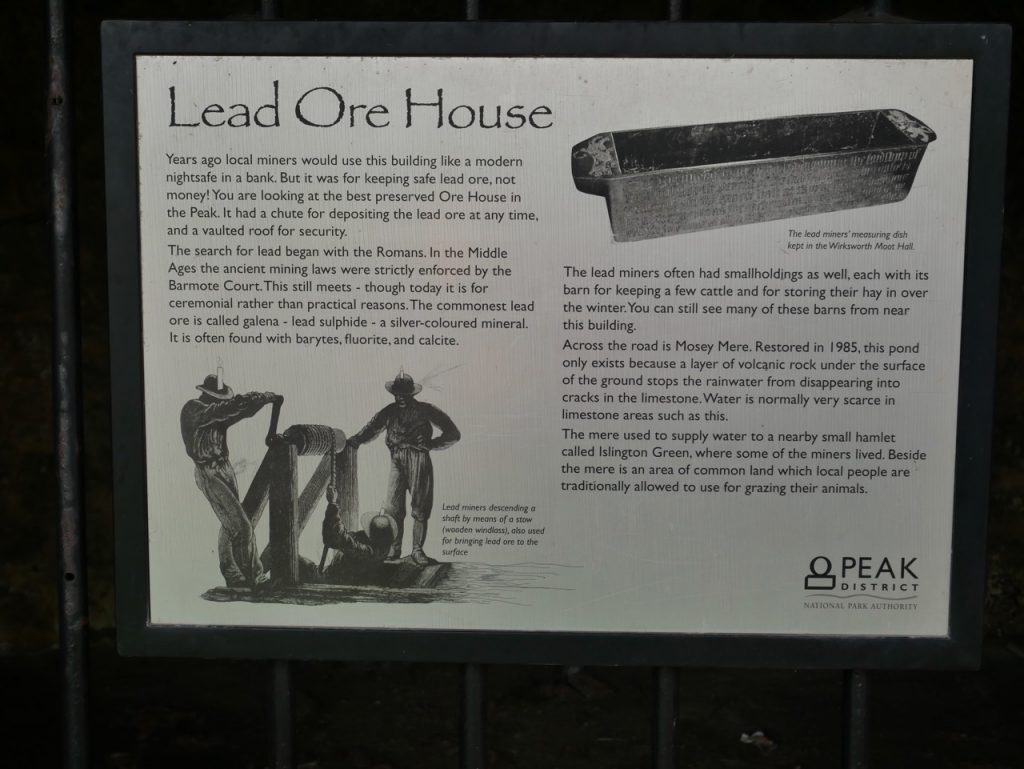
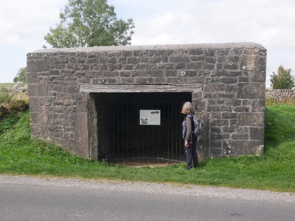
Walking down to the road near Winster, we were looking for a place to have a break. And there ahead on the B5056 was a stone building. A bus-stop perhaps? Unfortunately it wasn’t. It had locked metal gates and a sign identifying it as a Lead Ore House, a storage area used by lead miners. A nearby low wall would have been a good seat but was covered with nettles. So we walked on. And, result! A bench, with a pony to watch in front of us and views across Winster to the hIlls beyond.
There was a little more climbing after lunch but it was worth it. The higher ground of Bonsall Moor gave views as far as the Dark Peak. We left the path to cross a great many stone walls, mostly through squeeze gaps, each with its own challenge. A great many of the ash trees characteristic of this area were displaying varying severities of ash dieback and it is worrying to think that they may not be here much longer.
Moorland above Upper Town
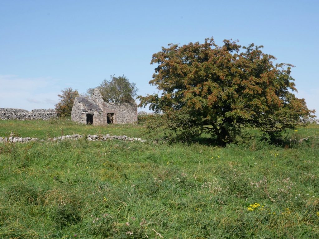
On a more positive note the wild high grazings had flowers aplenty, beautiful stone field-barns and dry stone walls. We even passed a field with a herd of longhorn cows that looked like a scene from one of Constable’s paintings.
We walked into Upper Town in bright sunshine and found a bench at the end of Moor Lane where we could sit for lunch.
Upper Town
Our final leg took us up over some wilder ground, the Leys, where lead mining rakes, horizontal superficial mines, have left their mark, then across farmland. This was mostly empty fields, but some with cows. But we were then faced with a field of bullocks lying next to the stile, with no other way that we could see to bypass them. As we stood there wondering what to do the animals blocking our way tired of looking at us and moved away so we crossed the field as a group.
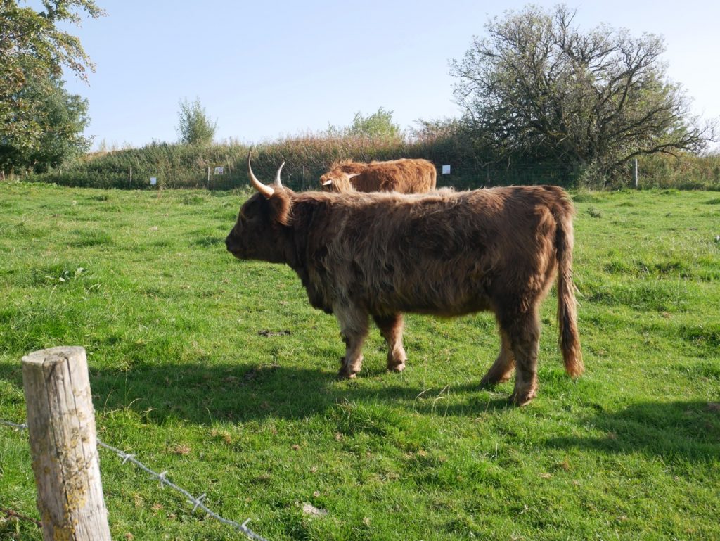
After the farms we walked through a working village, Ible, then along Grange Lane. The Limestone Way leaves Grange Lane above Grangemill but we didn’t think it was safe. A stile led into a narrow field of young highland cattle. It did not look that as if anyone other than cows had walked in the field recently. So we walked down the road into Grangemill.
This stage felt like the middle book of a trilogy. Not much to get excited about but necessary to move the story on. But perhaps that is a little unfair. We had seen a stone circle and the proto-temple of an ancient god, walked the ancient Portway, and crossed a clapper bridge. There were cattle that would have been recognisable to our great-great-great-grandfathers, and centuries old lead rakes on the high moors.
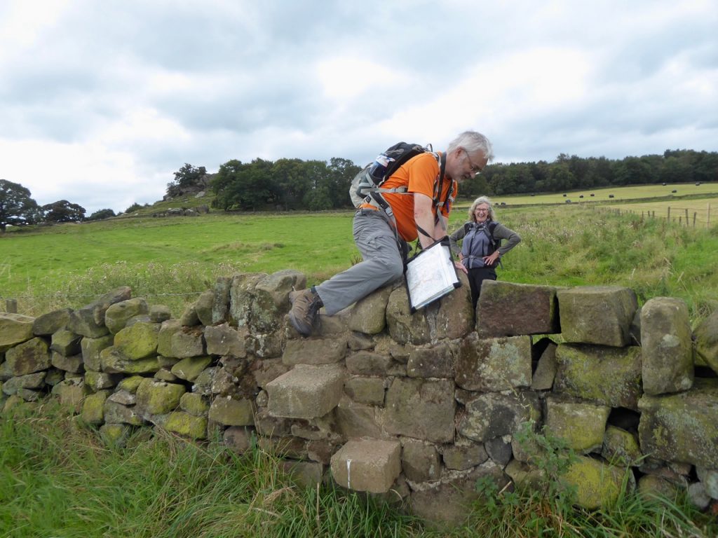
Experiment: does being laughed at helped me climb walls?
[sgpx gpx=https://www.screel.co.uk/walks/wp-content/uploads/2020/09/RK_gpx-_2020-09-18_1005.gpx]

The avenue of trees at Tissington may have been a permanent feature for 200 years, but the trees are periodically replanted. The present trees were planted perhaps 30-ish years ago. I remember that the previous trees were much closer to the roadside than the present trees, and also how bare and open it looked when the mature trees were replaced by juvenile trees.