9.34 miles 5h 24m ascent 240m
Wetheral-Armathwaite (Eden Way)
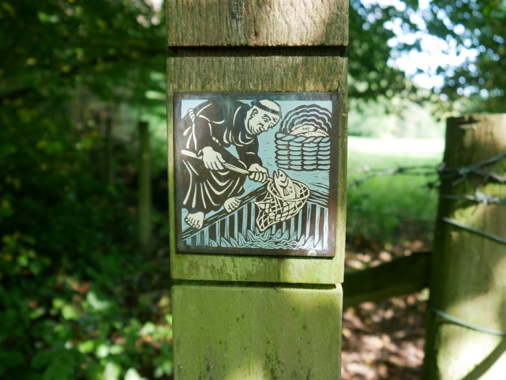
Well, that was some walk. The Eden Way Guidebook has Carlisle to Armathwaite as a single day but being <insert jocular self deprecating adjective here> we chose to split it over two days… thank God! There was a heat wave to contend with, shouting farmers, overgrown paths, uneven paths, overgrown uneven paths, fallen trees to clamber, hanging boughs to snag loose clothing and holes to snag the unwary foot, slippery mud, steep slippery uneven overgrown paths with holes, tumbles down slopes into nettles, moats of squelching quagmire, unbridged ditches with steep sides and only nettles and thistles as hand holds, beautifully crafted seats with welcoming signs but behind locked gates, the aforementioned 99 steps, bridges sturdy, bridges broken and booby-trapped stiles. But for all that we also had the Great Corby-Wetheral Viaduct, woodland walks, riverside rambles, the Flight of Fancy benchmark, Corby Castle though with its cascades dry, Saint Constantine’s cells and their INSCRIBED ROCK, a lonely woodland barn in Wetheral Woods, Cote House Tower and Coathouse Island, Brackenback Woods with Matthew Knublay’s Memorial (easily missed?), meadows, fields of barley, sandstone cliffs, heron, hare and rabbit, country lanes, gothic arches, free horse manure and fishing but for Yorkshire fly fishers only.
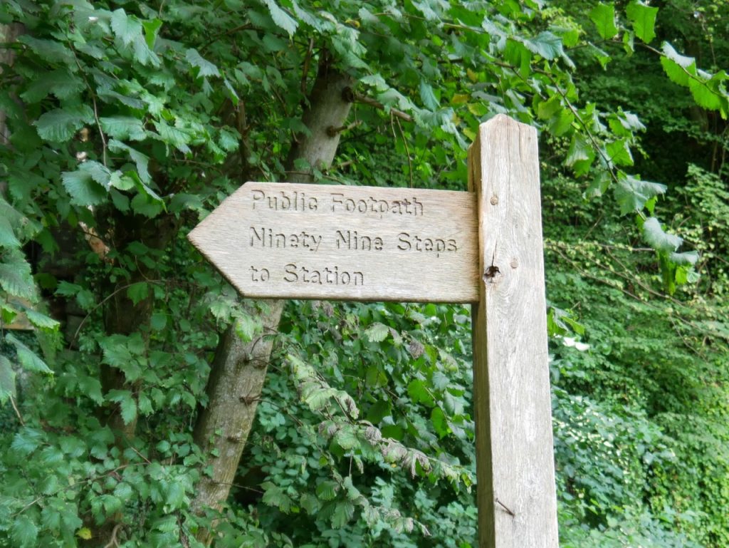
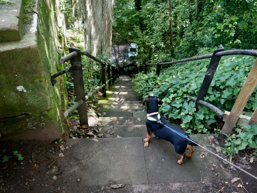
It was actually 22,969 steps from Wetheral to Armathwaite. The ‘ninety-nine steps’ are those from Wetheral Railway Station down to the River. I didn’t count them, being too concerned with not being pulled down them by an excited dachshund who didn’t like the spaniel bounding down ahead of her, but I read that there are only 93. Whether there ever were 99 steps I don’t know but, if not, heroes one discrepancy just crying out for a legend. “There used be 99 but six were taken by …”
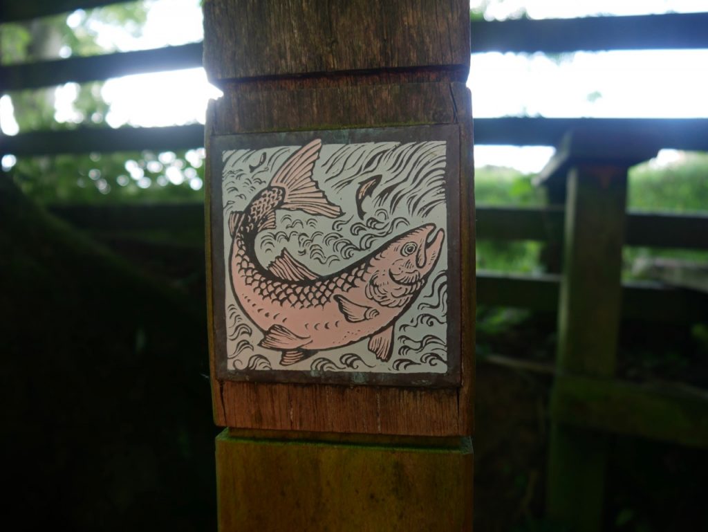
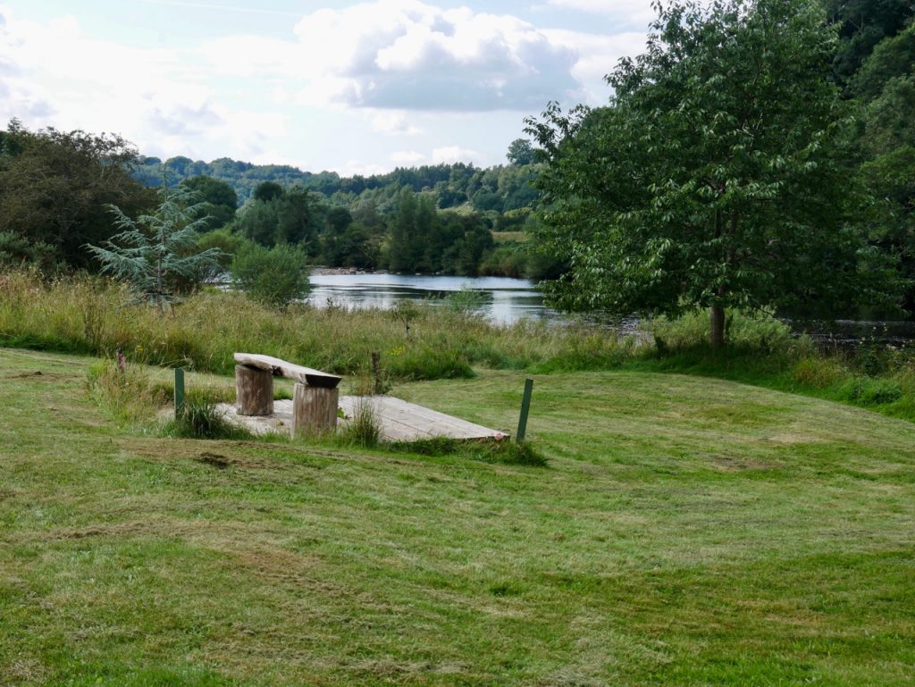
After a minute or two on a small road we found ourselves on a riverside path and the day’s Eden Benchmark, “Flight of Fancy” by Tim Shutter a winged stone seat. It has been here since 1997 but the has weathered to look like something from a much older time. Like many of the seats we have seen on our walks, this is placed in pleasant surroundings but too soon in the walk to be of much practical use.
The steep scale of the wooded bank across the river and the soaring viaduct combine to give the feeling of an outdoor cathedral. ‘Flight of Fancy’ plays with this ecclesiastical sense of lifting the spirit with angel’s wings, church style masonry and very convincingly carved prayer cushions. (Eden Benchmark website)
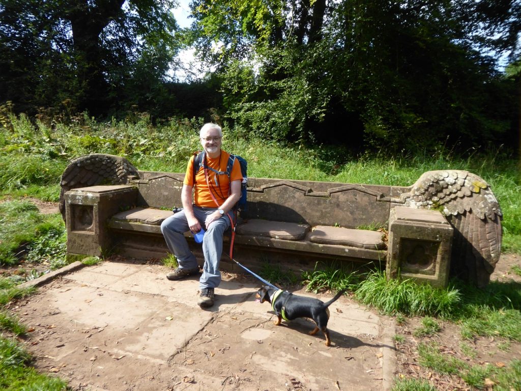
Flight of Fancy
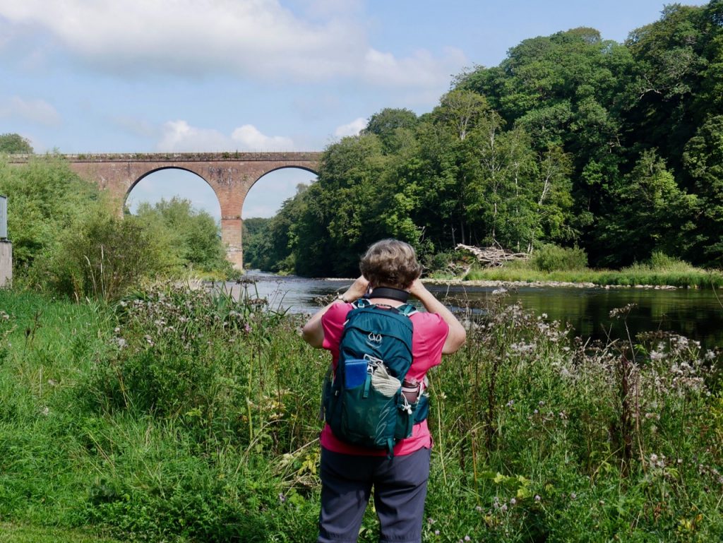
The soaring viaduct – bloody tourists spoiling my view
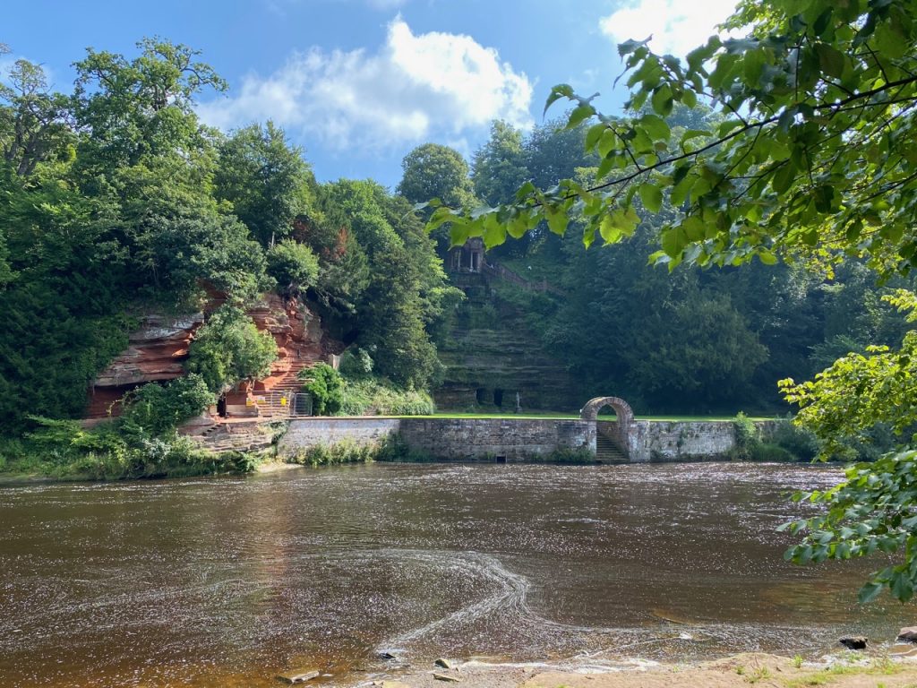
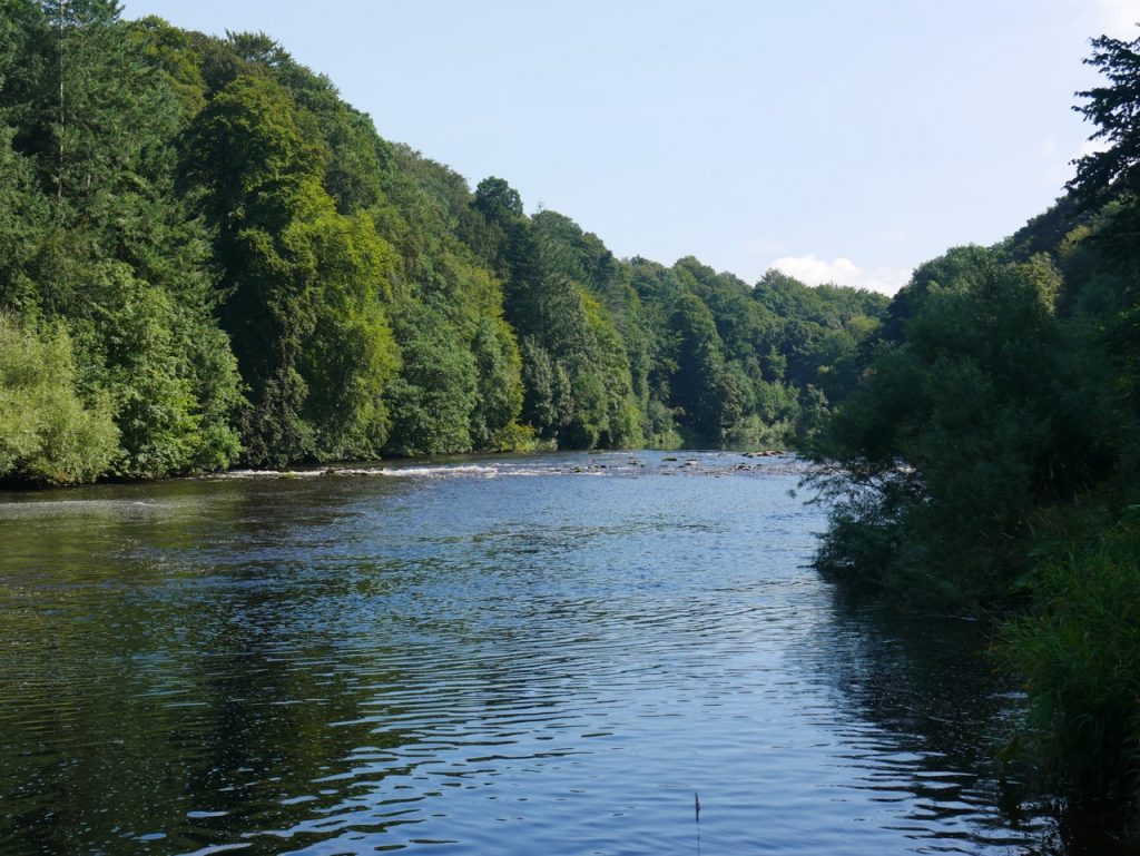
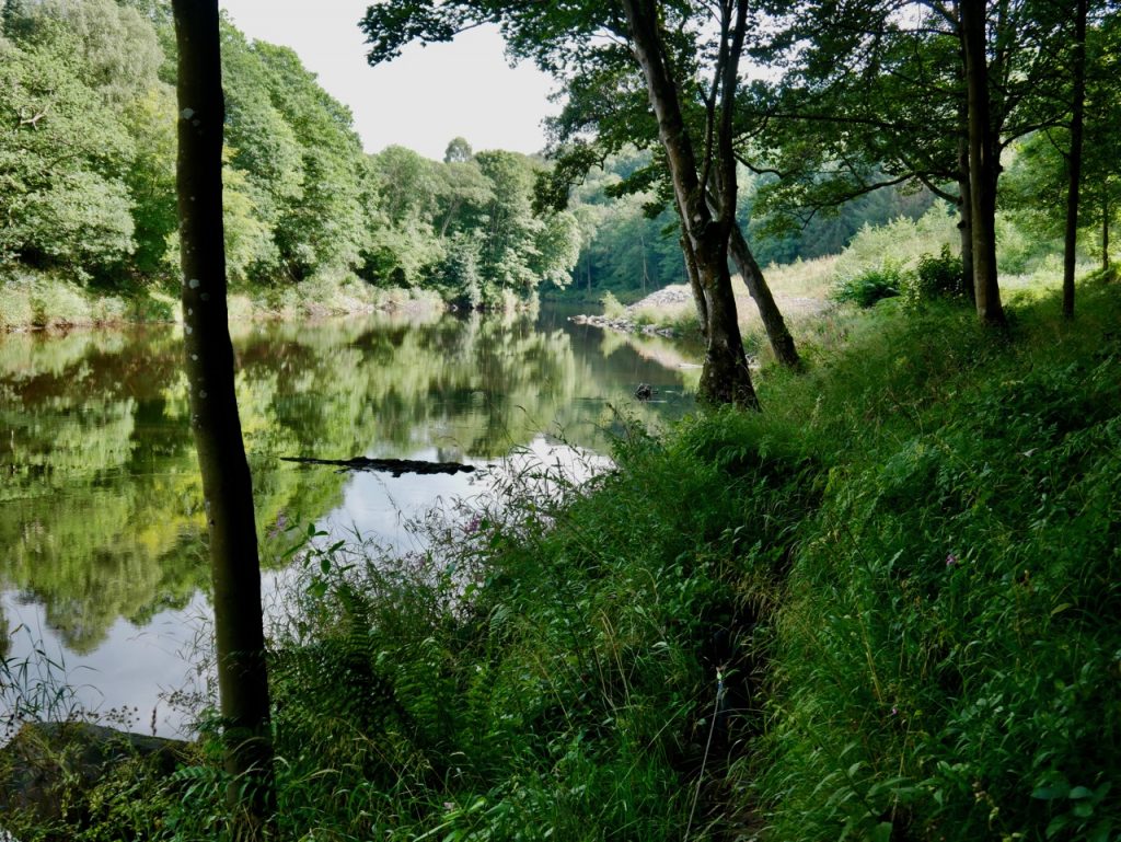
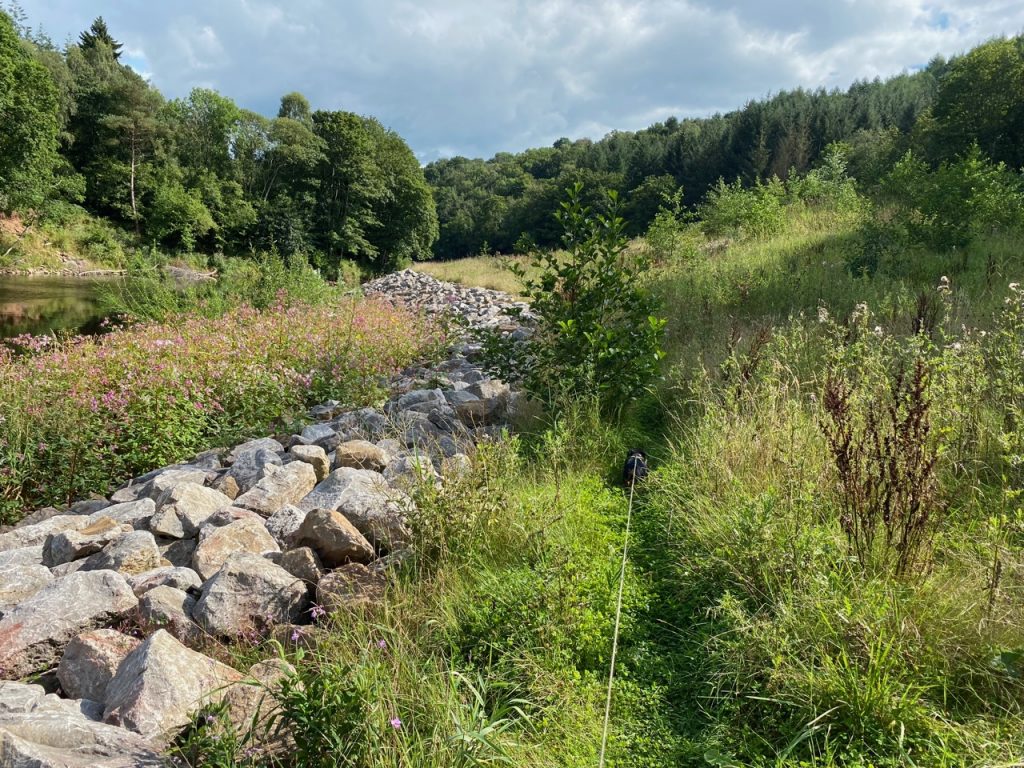
The viaduct was built between 1830 and 1834 and was, briefly, the largest railway bridge in the world. It doesn’t look particularly impressive from here, but close up where it did ‘soar’ above us, the trees prevented any useful photography. It was good to be back beside the River Eden and we had a firm riverside track to the viewing platform opposite Corby Castle.

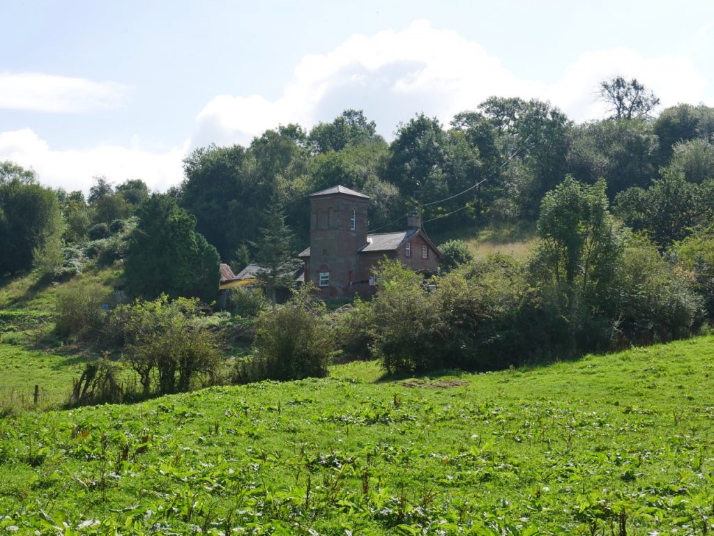
Corby Castle
This was another area with seating (stone blocks) with excellent views, but since we had only started walking twenty minutes earlier we enjoyed the views then moved on into Wetheral Woods
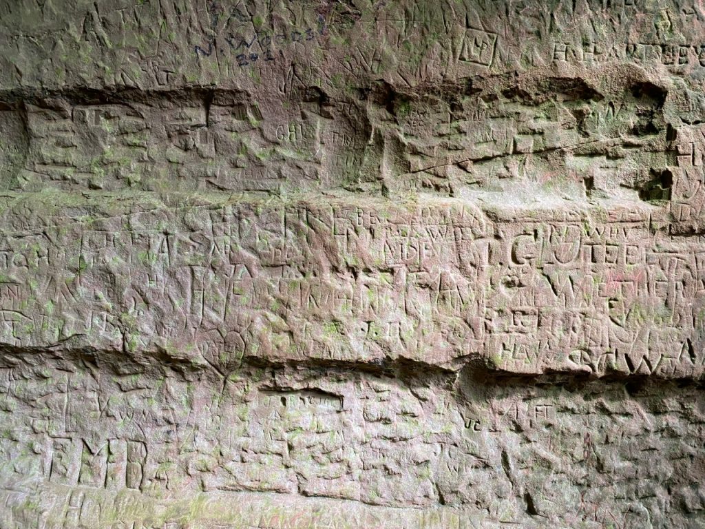
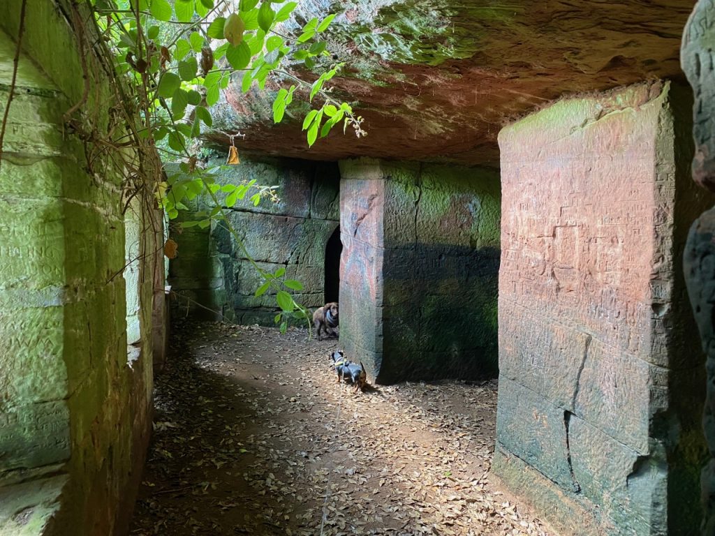
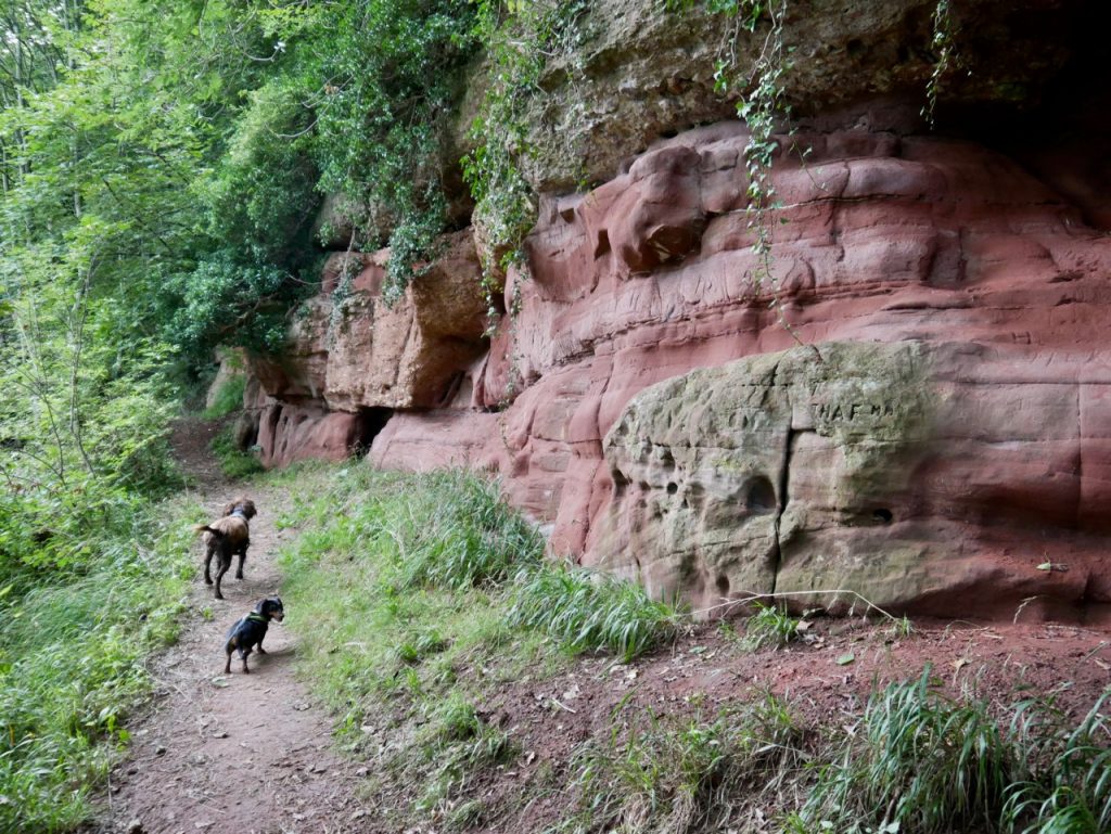
A short diversion took us down stone steps and across a wooden walkway to a cave carved out of the sandstone and known as St Constantine’s Cells. These caves were in use by the Priory of Wetheral as a place of refuge during border raids but inscriptions in nearby rocks include some by Roman soldiers from about 400 AD so they may have been use for much longer.
The priory was established between around 1106 and I think it’s fair to say that the St. Constantine to whom it was dedicated is uncertain. He is likely to have lived around 520-576. He is unlikely to be Constantine the Great, of Constantinople fame, and there are several possible British St Constantines. To complicate matters further their various histories may have been conflated over time. Wikipedia quotes “the name has given rise altogether to one of the most fearful series of muddles in the whole history of hagiography.”
Most stories have Constantine either a prince or a king, the “tyrannical whelp of the unclean lioness of Damnonia” who lives a life full of vice and greed until a religious experience changes him. He gives up his crown, passing it to his son, and enters the religious life, becoming a monk, a missionary to pagan tribes, a founder of churches and eventually a hermit. Some tales have him finding happiness in old age only to be slain by infidels.
I suspect Constantine may not have used these caves, but who knows? And does it matter?
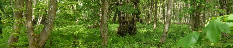
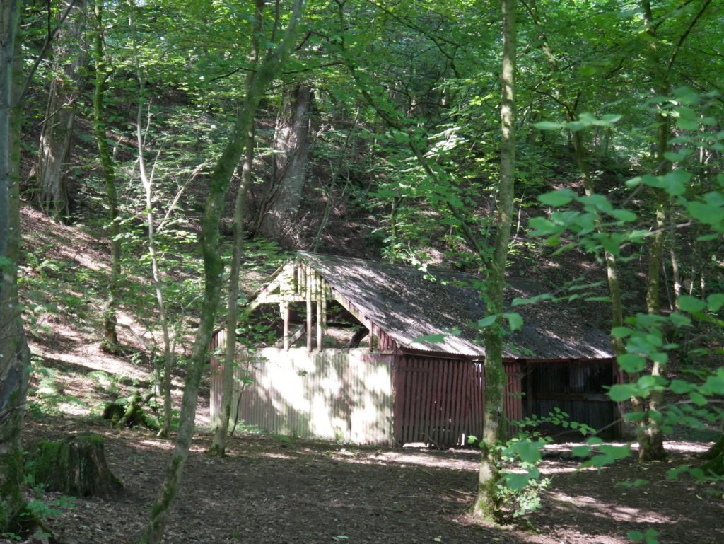
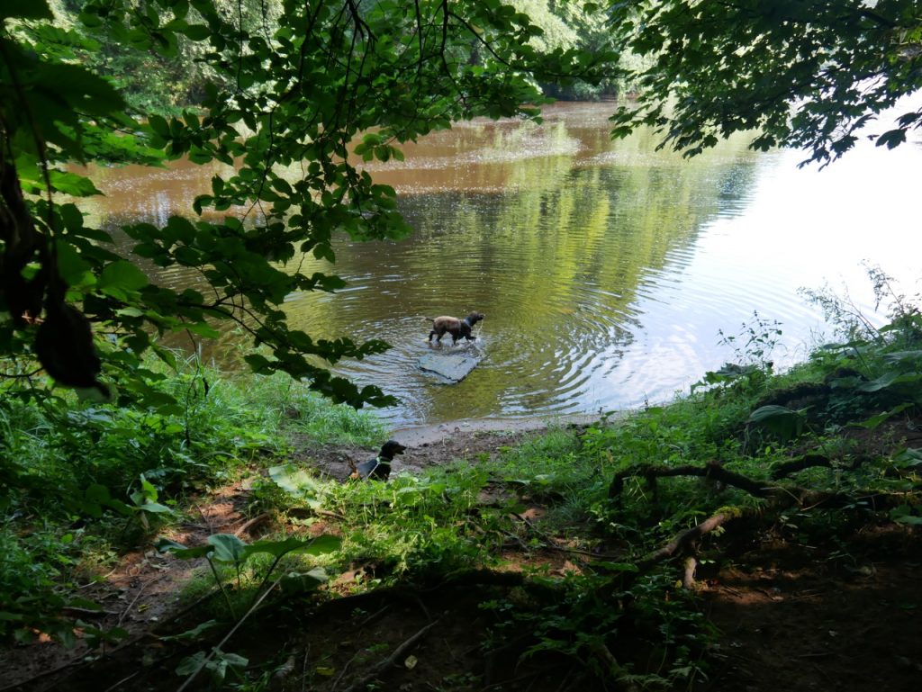
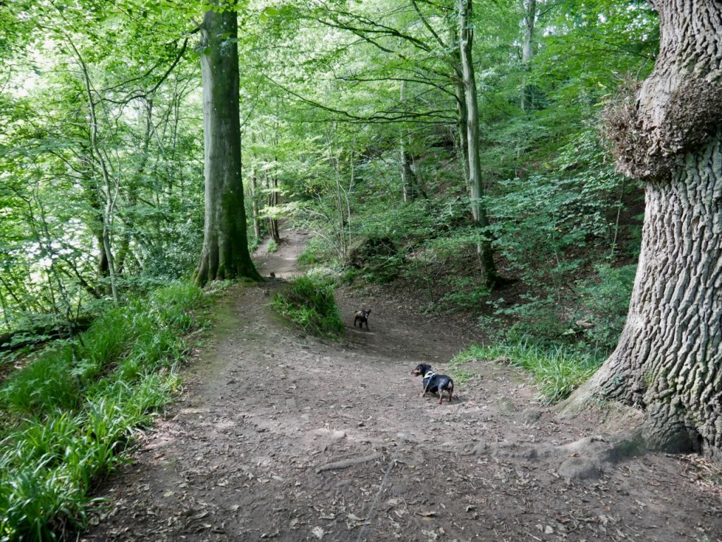
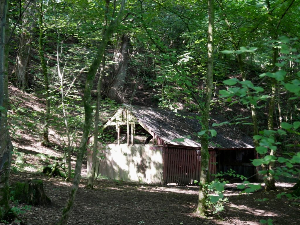
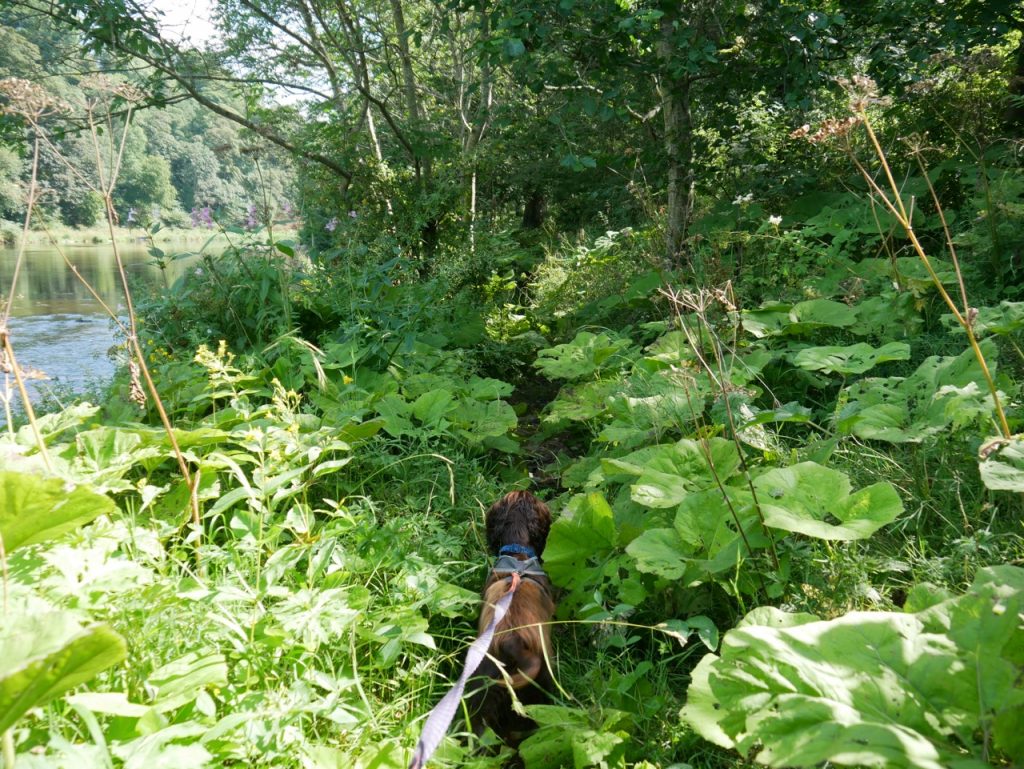
We continued through the woods, passing a derelict barn, at times winding through trees on wide woodland walks, at times on narrow muddy tracks, then along a treeless riverbank through fields and meadows. We were able to walk onto Coathouse Island, though a distant shout told us to get off the island. In our defence, there was nothing to suggest we shouldn’t have crossed to it.

At the island there is a sturdy stile into a field but a public pathway plaque pointing to the rough ground between the field and the river. And a similar set up at the far end of the field. I wonder if the public footpath has been ‘diverted’ onto what amounts to a very difficult eroded riverbank.
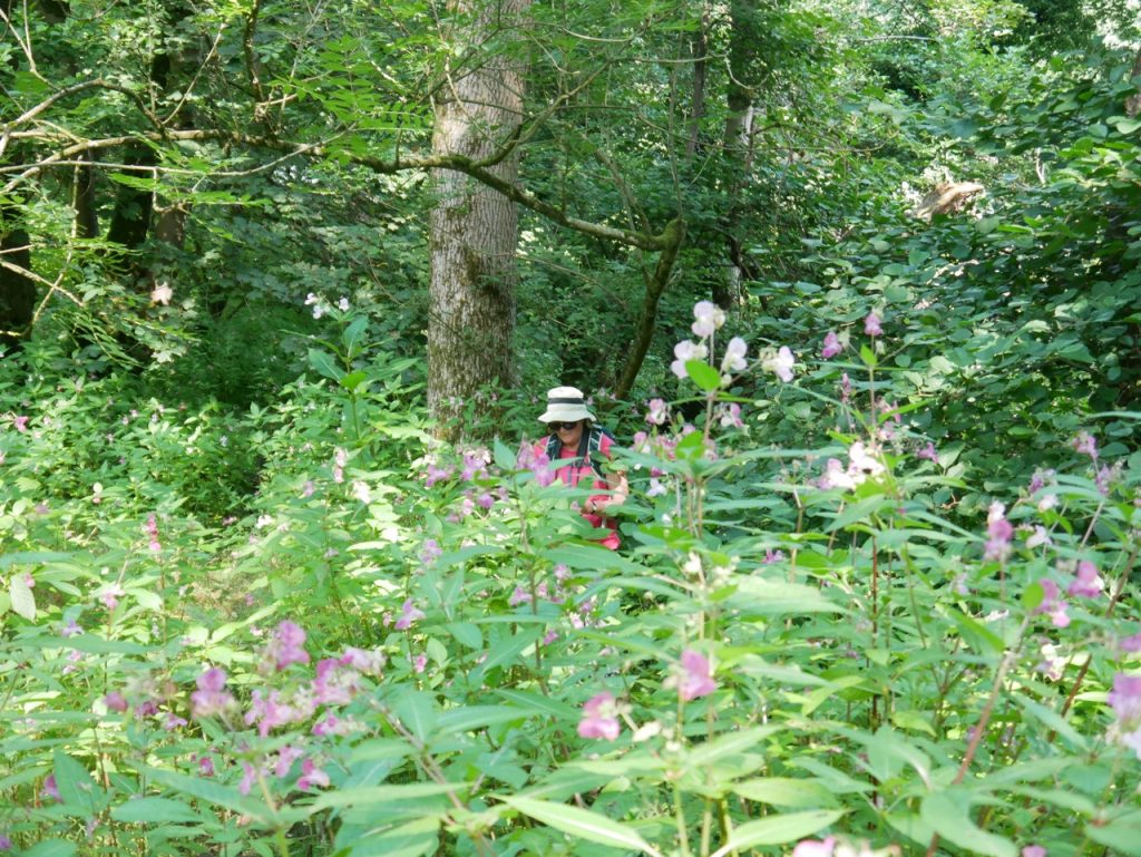
Up until this point I couldn’t really fault the walk. Relatively easy walking, nice weather, good company, pleasant views, interesting things to see. But, without really meaning to, we must have disrespected some local fairies, perhaps theirs was the voice that shouted? Things began to get a little more taxing. I think it was here that Audrey slipped off the path into the prickly embrace of a stand of nettles. [Edit: We will be able to laugh about it eventually, perhaps in a year or two.]
The guidebook says ‘after 500-600 yards the field narrows and we reach a stile’. True enough. Unremarked, though, is that said narrowed field is an utter quagmire. There was no avoiding it so we launched through. My first step just sank to ankle level and I thought “not too bad”. The next step sank above the top of my boot and I automatically shifted into a walking-through-treacle gait. Audrey was pleased she had tied her bootlaces tight, otherwise she would have lost her boots. That’s what it was like. The dogs, though, didn’t care how muddy they got.
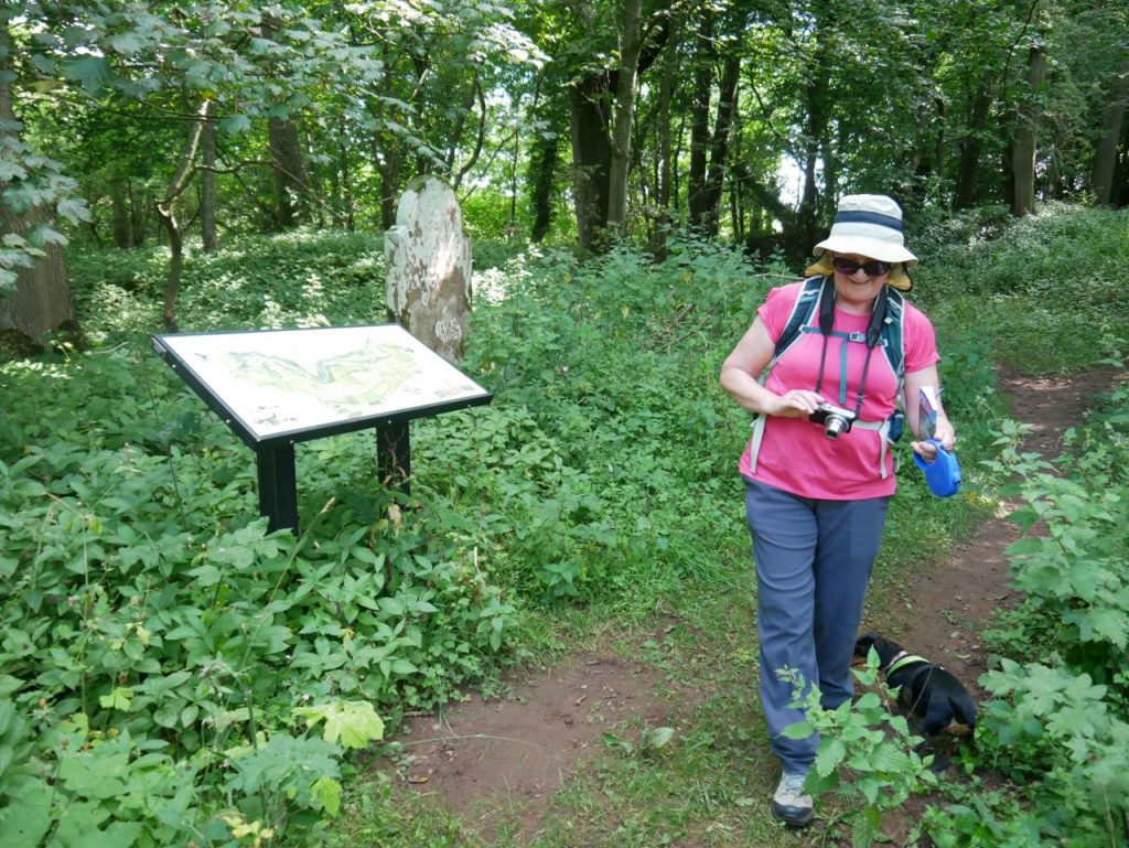
The middle picture above shows an information board with a large gravestone beside it. This was an interesting example of my focus. Having seen the information board I walked over to read it. It mentioned a nearby gravestone but gave no hint as to where it might be, something I found quite irritating and moaned about at length. “Useless information board etc”. I hadn’t noticed the stone was only two paces away. Audrey pointed it out to me and silenced my grumbling.
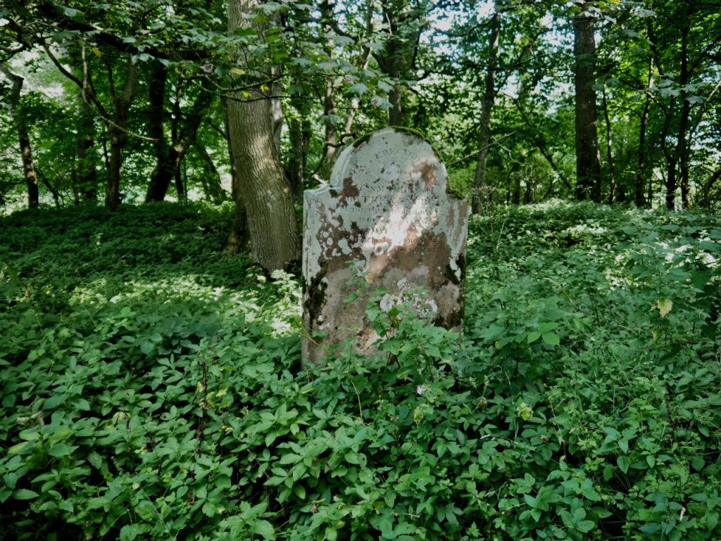
The stone was placed here in the early 19th century by Matthew Knublay in memory of his parents who had died in 1814 and 1822. It comes from one of the three freestone quarries along the river. Wetheral parishioners were allowed to take stone from these quarries free of charge on condition that the stone remained in the parish. Matthew’s parents were buried in another parish so the memorial stands here.
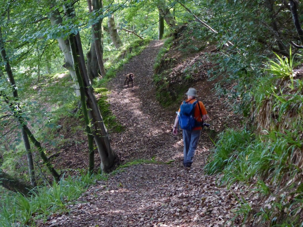

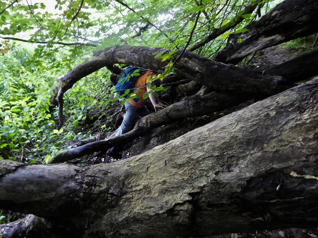
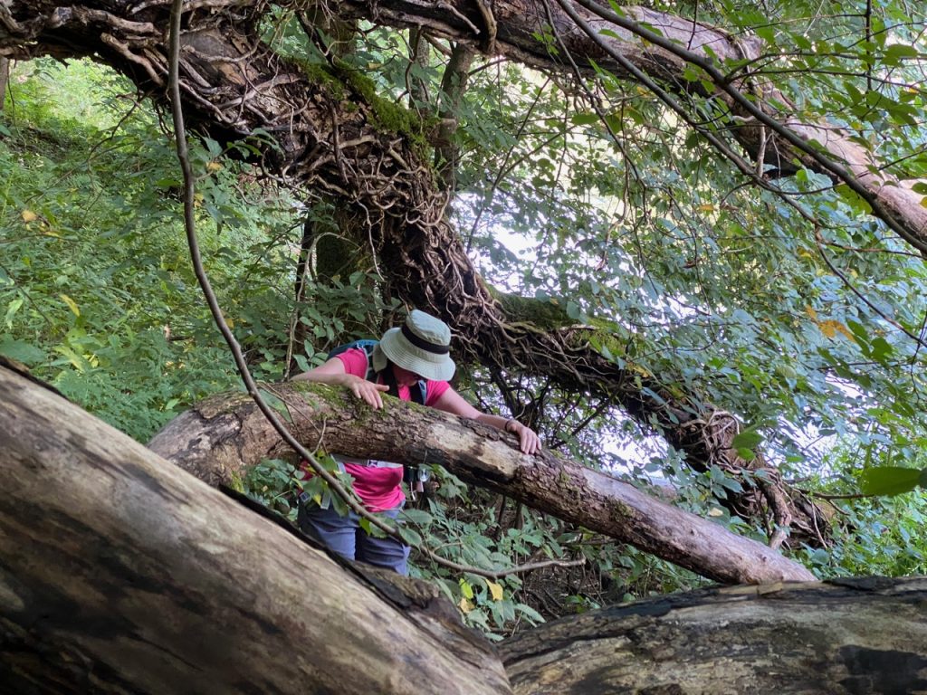
The next hurdle was a fallen tree. Too high to easily climb, too low to crawl under without crawling on our bellies. So we climbed down from the path and to find a way through the fallen boughs. Then the path got squidgy again for a while.
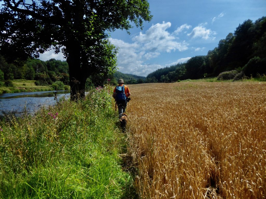
The route had taken us along riverbank with herons and ducks, gentle woodland walks, meadows, fields of barley with hares and rabbits, along rocky paths, muddy paths, and beside sandstone cliffs but we were beginning to flag. When the time had come for a lunch break we were unable to find the holy trinity of lunch breaks: shaded from the hot sun, a suitable place to sit and firm ground. By the time we came upon fallen tree trunks on the firm floor beneath pine trees we had used up our good humour. We rested, ate and drank our water but Christy, who is allergic to stopping on walks, dug holes and threw sticks at us.
Later we would find a lovely bench looking across the river to sandstone cliffs. A sign read “local landowners invite visitors to sit and enjoy the view”. Very kind of them. But the gate to it was closed with a stout chain and padlock. We could have climbed the gate, I suppose but it didn’t seem the right thing to do.
inviting seat beyond the padlock
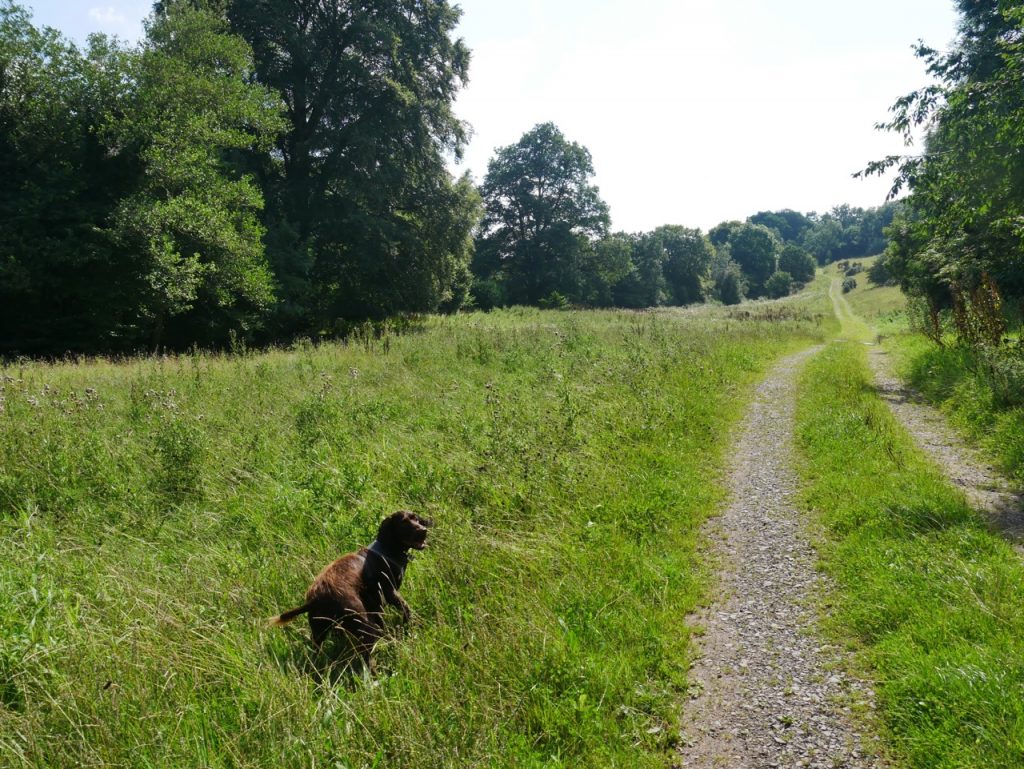
The walking was easy after the inviting bench mostly on grassy paths, then by Holmwrangle Island we met a farm track. That took us past Drybeck camp-site and up to Front Street, a minor road, for half a mile of road walking that felt like twice that distance. We were climbing slightly, which gave us some good views across the Eden valley to the Geltsdale hills.
A finger post pointed out a ‘path’ through one of the viaduct’s Gothic arches. These arches were pointed rather than circular, shad been several we had driven through on the way here. We then had about half a mile of rough pasture beside the railway. We climbed steadily from several metres below the tracks to several metres above. Nice views, but extra effort at the end of the walk.
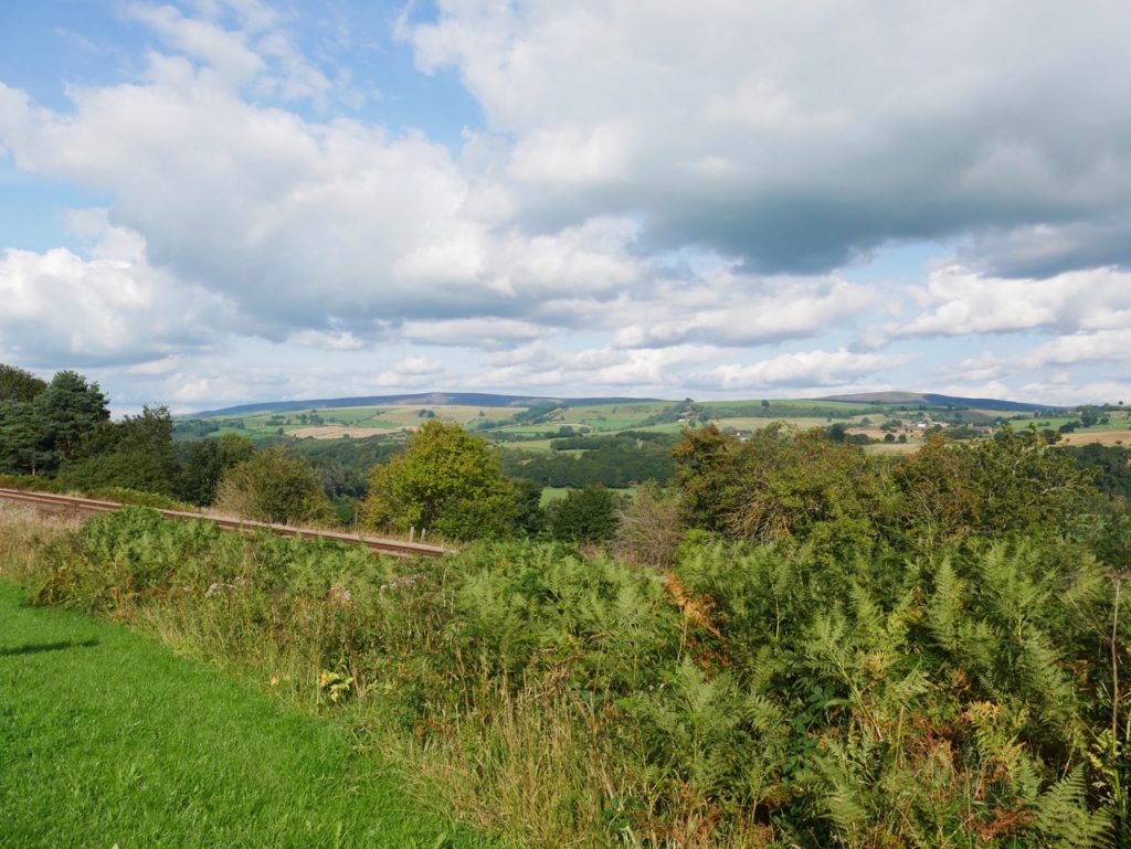
Geltsdale Hills 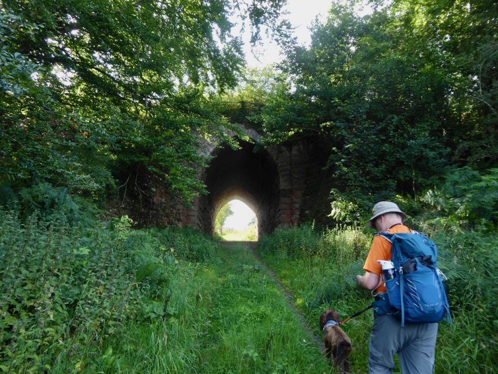
Gothic arch 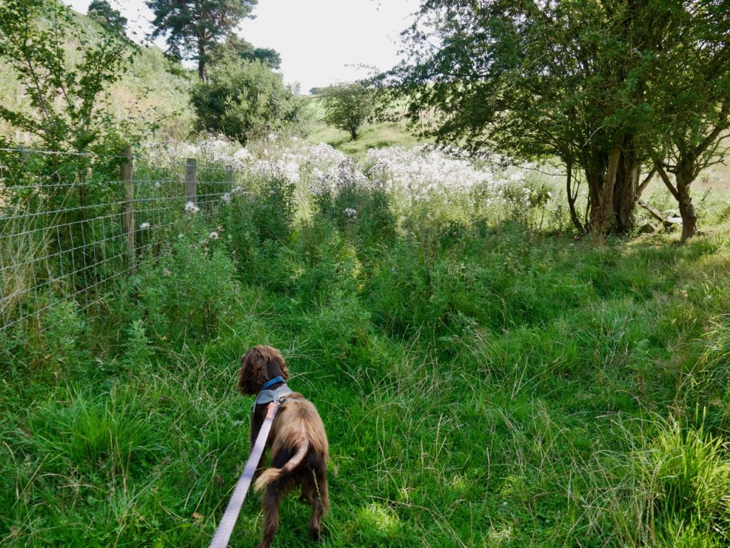
Rough pasture
It was then back onto minor roads all the way to the car in Armathwaite. I didn’t have the energy to take any of the “free bags of horse manure” we saw advertised.
[sgpx gpx=https://www.screel.co.uk/walks/wp-content/uploads/2021/08/RK_gpx-_2021-08-24_1125.gpx]

Sounds like it hasn’t changed much since I walked that on a humid summers day in 2015. Arrived in Armathwaite with mud covered boots, stung and scratched with a didgy back from having to lift my large collie over stiles. I had been thinking about doing it again this weekend when I found your blog.