
7.9 miles 5h 5m ascent 543m
 Louran Rig-Coo Lochans-Craignelder-Millfore Hill
This is Millfore Hill (602m) rather than Millfore (656m), a hill 4 miles to the north. I had previously set out intending to climb this in March of last year but we decided to change plans after seeing the terrain we would have to climb through. So back I came with a new and better route planned for a boys’ day out with Sweep and Eddie.
In summary: gentle downhill forestry track; uphill forestry track; tussocky forest break; felled forest; heather and sphagnum uphill; granite pavements, bog and heather; steep descent in dense heather and tussocks; more felled forest; bracken; bog myrtle; forestry track.
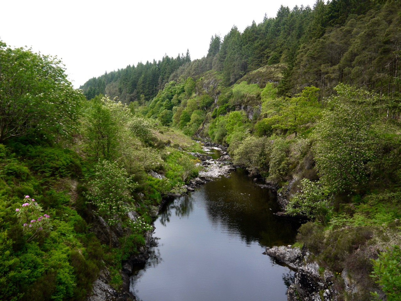
Palnure Burn
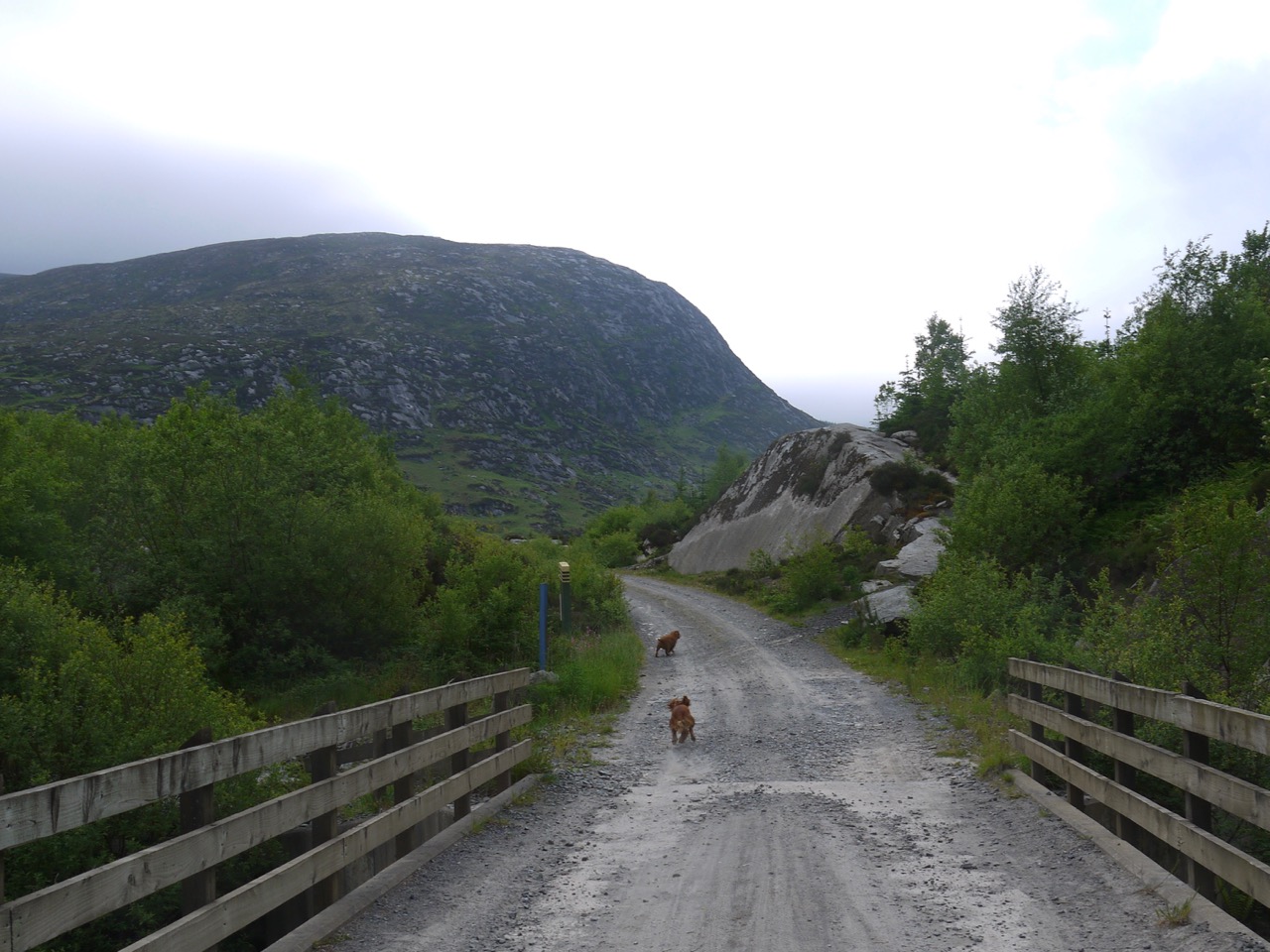
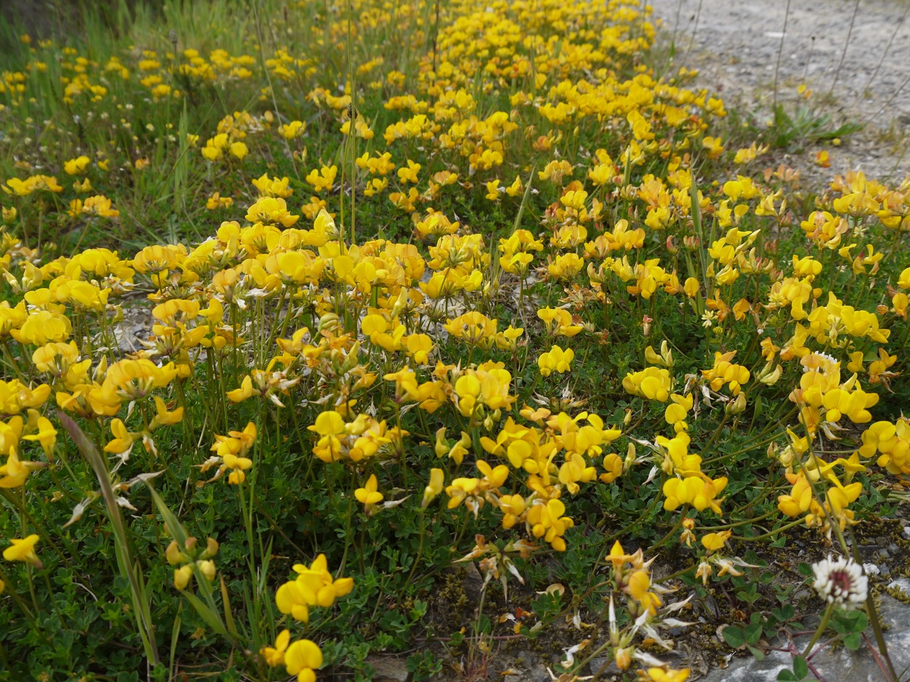
It was a beautiful day, very warm, and bright despite the grey skies, as my sunburn attests. We parked just off the A712, where it is styled the Queen’s Way, and walked across to the Palnure Burn, running in its wee gorge. This took us past the McMoab rocks and the MTB tracks marked with the skull and cross-bones. Our first half hour was a gentle descent along the pleasant forestry track heading towards Corwar. Beside the track were carpets of golden yellow, red-tinged bird’s foot trefoil, with buttercups and wood avens peeping from the denser undergrowth, overshadowed by pines with candle-like new growth, spruce with their bright brushes of growth, and pale green leaved willows.
Craignelder in the distance
After our easy start we turned left onto the forestry track and put in a bit more effort zig-zagging between the Louran and Crochan Burns as we climbed towards Louran Rig. The lower slopes are wooded but the upper reaches of the forest have been felled so after initially walking in the shade of the trees we emerged into sunshine and stopped for a rest and drink of water by a wooden gate (at about 300m). At my feet were the pale yellow flowers of mouse-eared hawkweed and in the distance the rocky slopes of Craignelder looked a lot further away than they actually were.
The gate I should have taken
A wooden gate behind me at the edge of the trees was one possible route up to Louran Rig. The OS map shows a short path leading from the gate towards the rig. Looking along it however, I couldn’t convince myself the “path” was anything more than a memory but with the wisdom of hindsight I think it might have been a better route than the one I chose.

A rather empty Crochan Burn
The Crochan Burn was reduced to a trickle of water and I did wonder if walking up the rocky river bed would be easier than the felled forest ahead. I suppose if the rocks were stable it might have been possible but they would almost certainly be unstable and the dogs would have found it difficult, so I dismissed the idea and carried on along the forestry track. It ended just a short distance away among the chaos of felled forest (at about 320m) in the centre of an amphitheatre made by the Big Gairy of Craignelder and the Louran Rig. In planning the route I had intended heading directly up to the Coo Lochans in the middle of the amphitheatre but forestry fell ensured there was no easy route onto the hill that way.
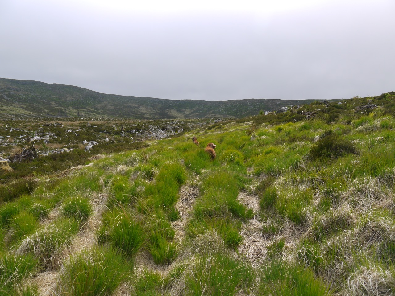
The forest break
Looking back down the forestry track there was a ribbon of bright green, the remains of a forest break, that was at least relatively free of fallen branches. That said, it was made of tussock grass on a foundation of bog so the going wasn’t exactly easy. Eddie bounded over the tussocks but poor Sweep was slower, though faster than me.
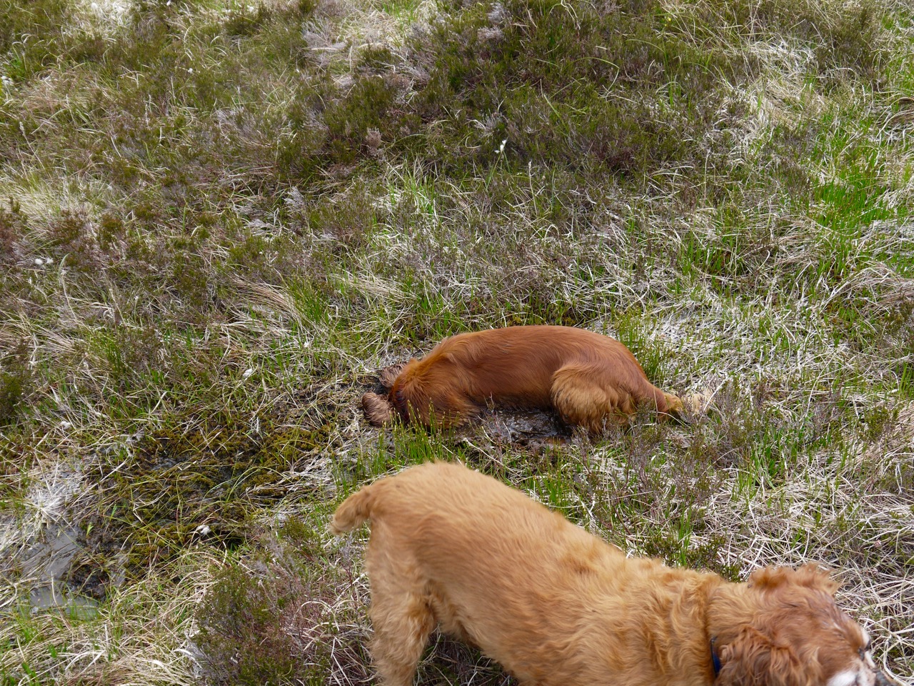
They say all good things must come to an end, and though I wouldn’t call the boggy tussock filled forest break a good thing, it too came to an end (at about 370m). I decided to take the direction with the least forest fell to cross, even though that would take me up the far side of the amphitheatre. I headed south for the higher ground of Louran Rig, intending to stop for lunch when I got to the cairn there. The ground became a little boggier on the higher ground, which has always surprised me, but the dogs used the opportunity to cool down by jumping into muddy pools, Eddie sticking his head right into the mud and reappearing looking like a canine version of a black and white minstrel.
Climbing on to Louran Rig
Once on the rig I found I had bypassed the cairn. Other walkers must have headed up from the cairn and worn a faint trail through the heather and that made for easier walking where it existed. At 440m we reached a fence with a rickety gate. As I fiddled with the gate’s bindings, Sweep ran off towards the trees to the south and disappeared. Calling him was counterproductive since my voice echoed back and I worried he would run towards the reflected sound rather than the real sound. I didn’t want Eddie doing a runner while I searched for Sweep, so got Eddie on a lead and took off my rucksack to tie on to the lead. That did the trick. Sweep’s sixth sense must have alerted him that I had taken off my rucksack (and previous experience will have taught him that that can mean dog biscuits are about to be handed out). He reappeared.
Mud glorious mud
The gate would only open a few inches, certainly not enough for me but wide enough for spaniels. The dogs though were not for passing through until I had climbed over. Once we passed the fence the trail petered out. I presume walkers had taken the same route from the Louran cairn to the gate in the fence wearing a trail, but once beyond the fence went in directions different enough that no trail was made.
Continuing the climb
I was flagging a bit by then, having missed my planned lunch break and I decided to stop at the next suitable boulder. The dogs went back on leads so I could have a restful lunch break without worrying if one of them was going to run off. It turned out I had forgotten the dog biscuits so the dogs shared my sandwich. I can’t say they savoured it though. Gulp..ready for next offering…gulp…ready for next etc. Then sitting comfortably and taking my enjoying the break, I looked about, taking in the views and the smell of the upland moor, taking cooling sips from my water bottle. I noticed some goats in the distance and decided to keep the dogs on their leads for a while longer.
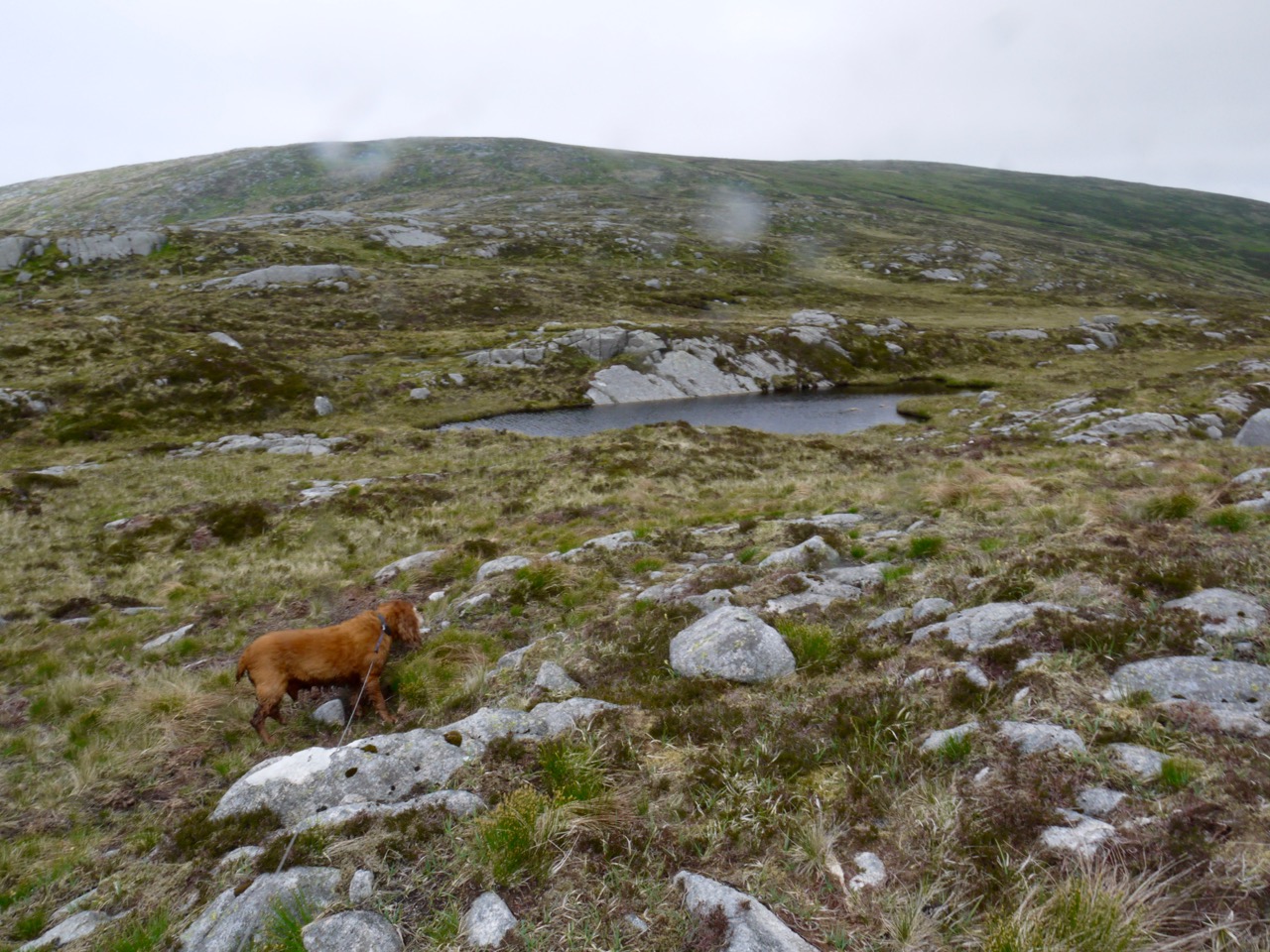
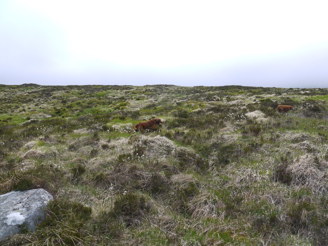
Coo Lochans
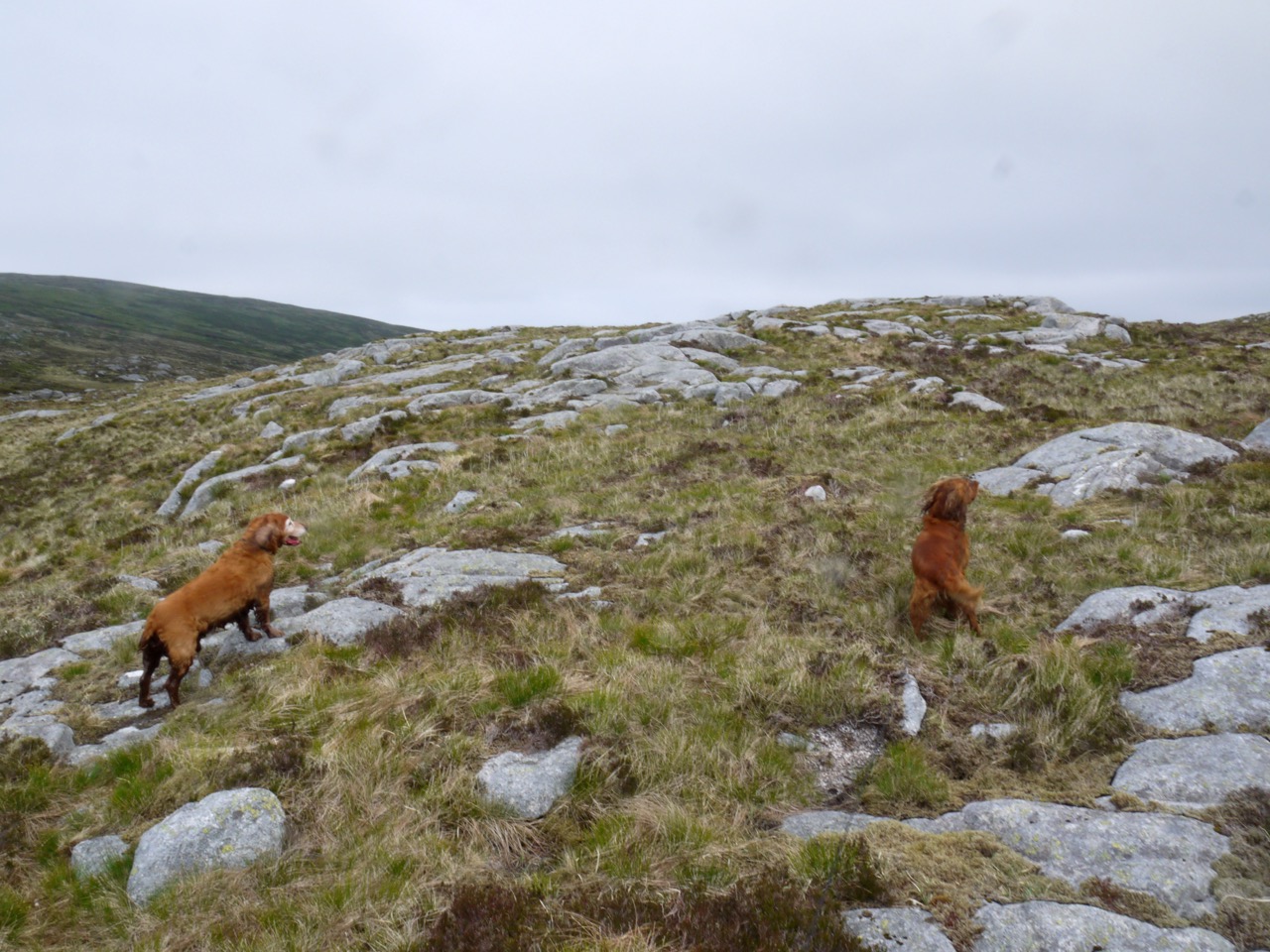
Refreshed, we climbed on to the flatter ground and headed towards Craignelder. This area has a great many granite pavements which are easier walking but the ground between them is filled with dry areas with heather, wet sections of boggy sphagnum moss, and areas of standing water, the Coo Lochans. When walking on tracks the dogs tend to follow and return to them but walking across wild ground they have more of a tendency to wander which isn’t a problem if they can be seen but the uneven ground here meant they could easily be out of sight. Having them on leads was a bit of a bind but it was actually easier not having to watch where they went. Unfortunately, many of my photos there have motion blur, from the dogs pulling on their leads at inopportune times.
There was no obvious trail up onto Craignelder and I found our way blocked by another fence. Looking along it I noticed a small cairn on the far side, which I presume is the Brockloch Cairn mentioned on the OS map. Brockloch here doesn’t refer to a loch, but is a mutation of “Brocklach”, Brock is a badger and brocklach has the sense of badger-y. But there were no badgers to see. Heading towards the cairn I found a wooden construction which looked like a cross between a gate and a stile but functioned as neither. It would not open and could not be used as a stile. Luckily there was a section nearby where I could lift the bottom of the fence enough for the dogs to squeeze under.
As ever though they wouldn’t squeeze through until I had climbed across. The goats were now far away (in fact quite close to where we had stopped for lunch) and since we were on the other side of what seemed a robust fence, I felt the dogs could run free again, freeing up my arms.
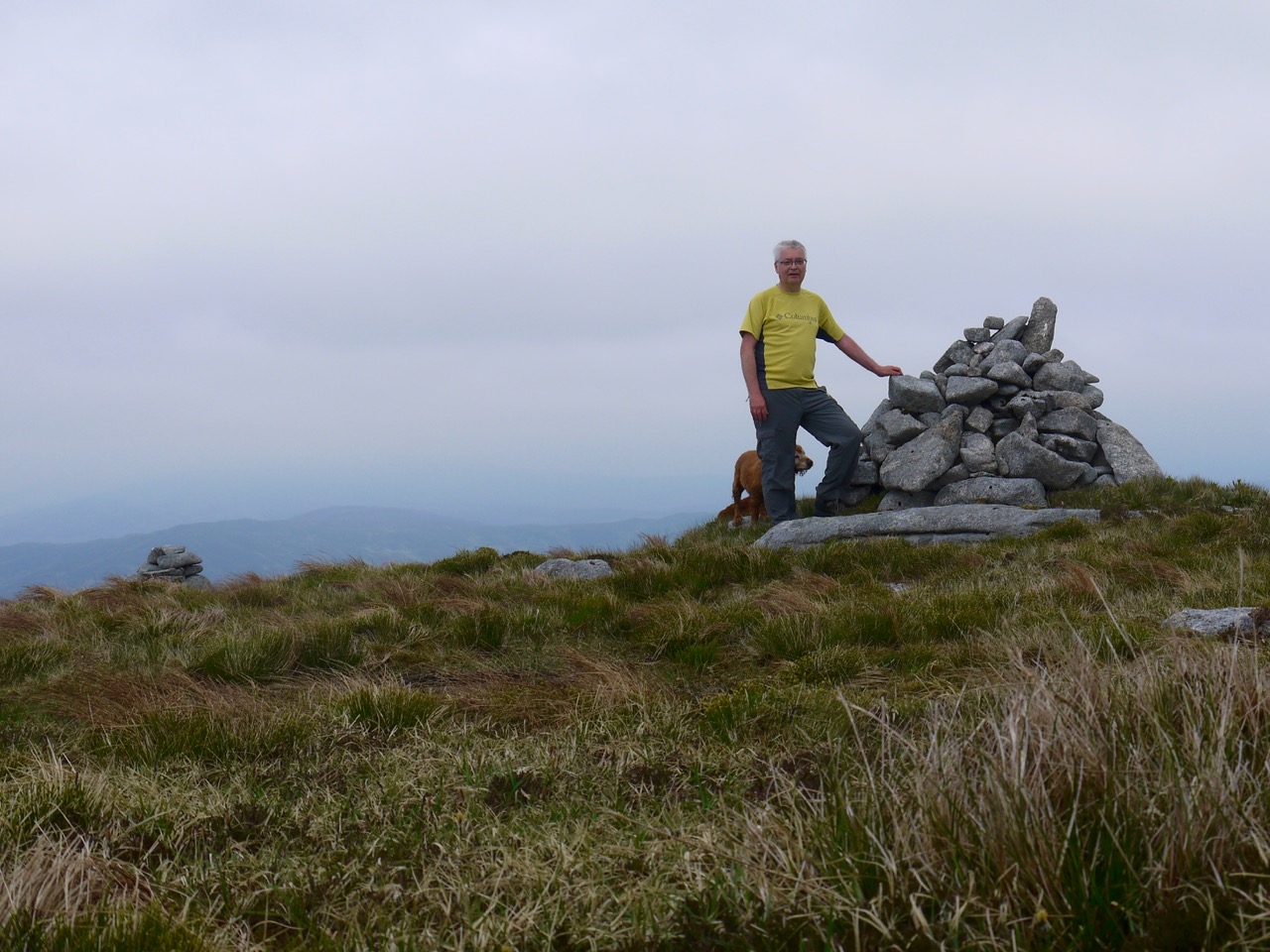
Millfore Hill cairn
Craignelder’s summit is marked by a small cairn, and from there I headed across to Millfore Hill which stands a whole 1m higher than Craignelder but requires a bit of descent to a lochan before a short gentle climb. Millfore Hill has a large and a small cairn. I doubt either is at the summit, so after my photo by the cairn I did the usual wandering about the various little knolls that might be the highest point, then headed back to Craignelder. From there we walked along to another cairn closer to the edge of the steep Gairy. This cairn marked the beginning of our descent and I presume those who built it intended it be read as “turn right here if you don’t want to fall over the cliff “.
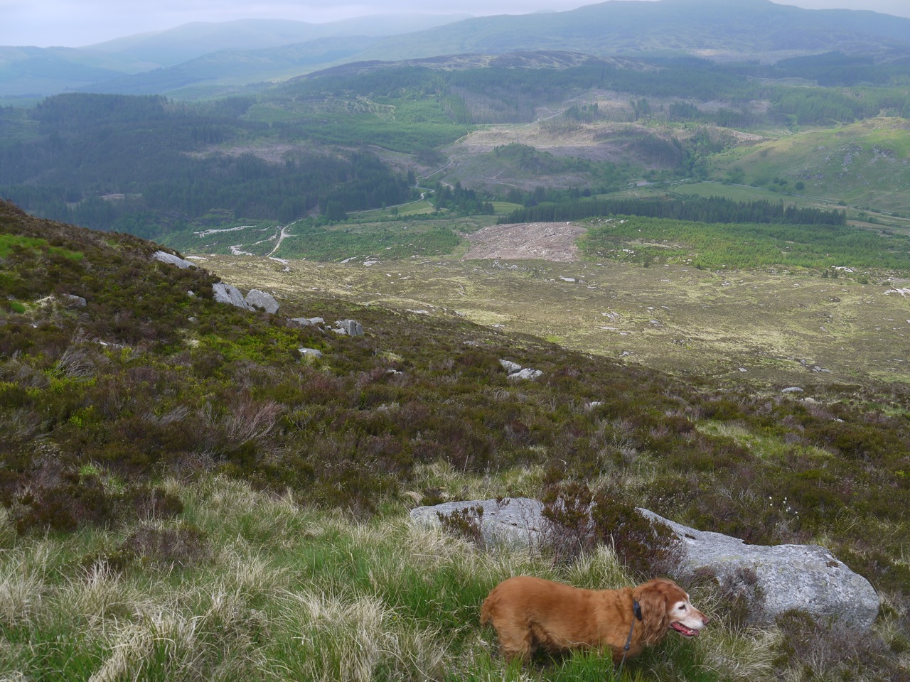
The options for descent, other than retracing my steps, included heading for Dunkitterick, for Sleekit Knowes, or along the top of the Fleshmarket. I choose the latter since it initially offered a more gentle descent and even though it was difficult, I decided to have the dogs on leads since the ground was very uneven and I couldn’t see where they were when only a short distance away. Sweep had already wandered a bit too far for my liking as we headed down, and the birds were tempting Eddie away.
We made very slow progress through steep heather mixed with tussocks, holes, rocks and slippery mud. One slip put me on my backside and closer to the ground I could see numerous small blue and white flowers of milkwort (heath milkwort), including what looked like (and was) pink milkwort among the usual blue flowers. There was much zig-zagging to avoid steeper sections that I would have been able to manage alone but wouldn’t attempt while holding the dogs leads.
Once over lip of summit and able to see the descent I decided to head for a wall at the western end of Sleekit Knowe. The going was tiring and when I stopped for a rest and drink at a rock, even the dogs just lay down and rested. I gave them the last of my water but Sweep wouldn’t drink out of my hand, and would only have the water as it came from the bottle.
I could tell Sweep was finding the deep heather and tussocks hard going. He usually walks ahead of me but when he is tiring, he tends to walk behind, as he now did. I slowed down considerably (for his benefit, of course) and found the slower pace much better for me as well.
When the slopes eased
As the gradient eased, even though the terrain was the same, walking became easier and since I could see further the dogs could run free again. Our next hurdle was a rusty but robust fence topped with barbed wire, which we followed looking for a likely crossing. A section missing a fence-post allowed me to stand on the fence and let the dogs across. It sprang back as soon as I stepped off it though so I left the fence as I found it.
Wall to the left, Murray’s Monument in the distance
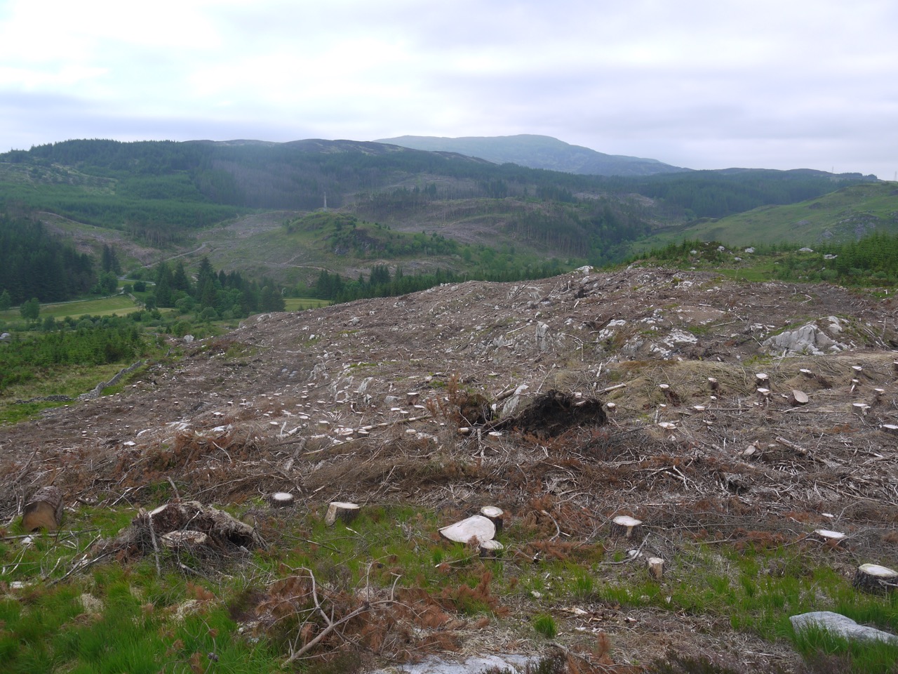
The wall I had been heading for was now very close, perhaps 100m away, but crossing the fence took us from upland moorland (difficult going in tussocks) into felled forest, a morass of fallen trees, branches, holes and steep sections, some of which Sweep couldn’t manage without help. The old boy’s back legs were working hard getting over trunks, but with a bit of effort we reached the wall that had been our target.
But which side of it to choose? Satellite photos are out of date and show trees to the east of the wall and clear ground to the west, but the forest is now felled to the east and there are densely planted trees to the west. I choose the felled ground to the east side of the wall as the lesser of the two evils and we picked our way along slowly but found ourselves criss-crossing the burn there several times. After beating through some dense bracken, our way was eventually blocked by fallen branches. Here we had to cross the wall, Eddie jumping up easily but Sweep needing a lift up. We then walked through bog myrtle, and the usual tussocks, and the forestry track with its promise of easy walking came into sight.
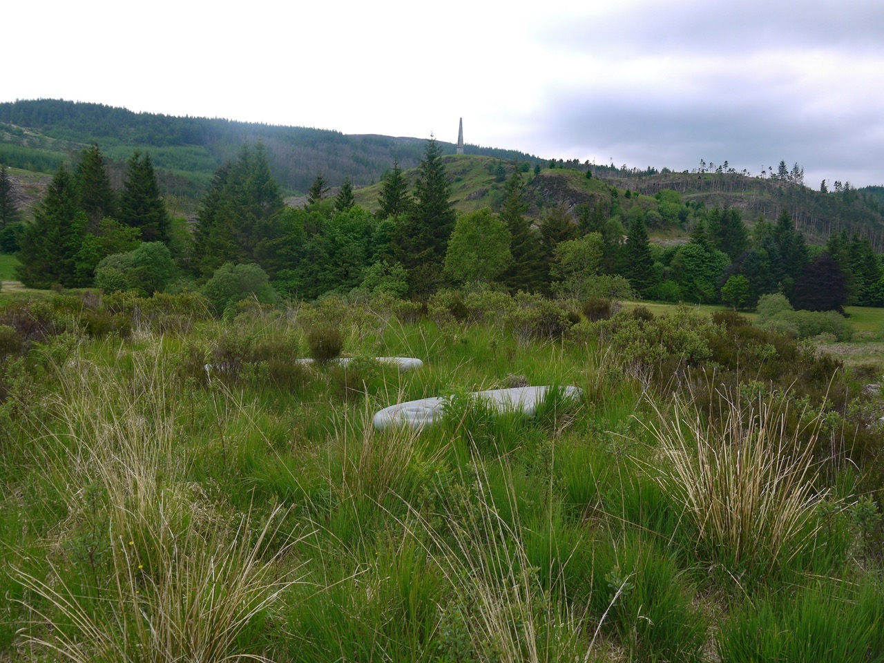
Rosnes Benches
Rather than continuing to follow the wall we crossed it at a fallen section and struck out directly for the track. Ah, the joy of a forestry track, footfalls on firm ground that neither slips away nor gives way. We had joined the track close to the Rosnes benches, which were quite overgrown, so much so that at first I thought they might have been removed, but they were still there.
The last few minutes of the walk we were back with the yellow wildflowers, bird’s foot trefoil, catsear, mouse-eared and common hawkweed, buttercups, lesser trefoil, and dandelions. Sweep still dawdled behind me at first but soon got his mojo back and stepped ahead of me.
 Quite a walk. I wouldn’t recommend the descent I chose but the ascent was reasonable and would have perhaps been a little easier if I had left the forestry track at the wooden gate and joined Louran Rig lower down.
I’ll finish by mentioning that I remain uncertain as to the etymology of Millfore. I have read that it arises from meall mhor, great hill, or perhaps meall fhuar, cold hill, but can’t see why a hill that is clearly not the tallest of its near neighbours would be the great hill, or why two close hills would both be called great hill. And surely all these hills are equally cold. For all I know it could be from mille-feuille, a fancy vanilla slice?
[sgpx gpx=”http://www.screel.co.uk/walks/wp-content/uploads/2016/06/RK_gpx-_2016-06-04_0959.gpx”]
