
8.28 miles 3h 52m ascent 310m
Forrest-Loch Dungeon-Forlow Monument-Haggis Hawse-Loch Minnoch
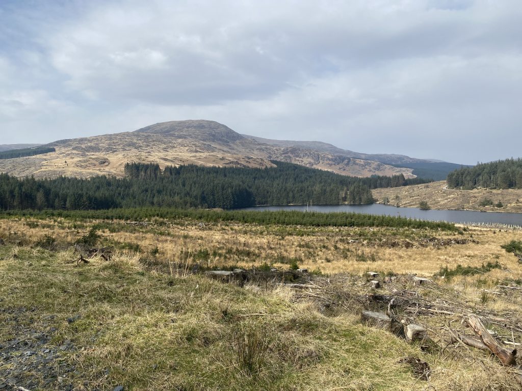
This outing was planned to visit the memorial that stands beneath Milldown, but we also took in Loch Dungeon and walked by Haggis Hawse and Loch Minnoch. The sun was out and Winter’s chills had relaxed into the warmth of Spring. When I had walked through the Forrest Estate a few years ago, in my Donalds phase, the forest was mature, the views limited and my mind had been on the hills ahead of me. Much of the forest has now been felled.
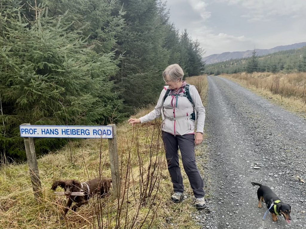
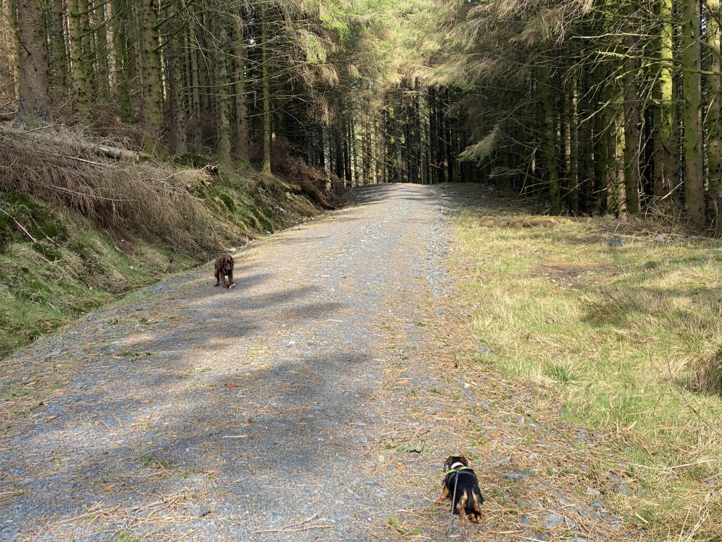
We walked the full length of Prof Hans Heiberg Road, past the foot of Meikle Millyea and around Mid Hill, then took Mary Watson Road, with a detour to Loch Dungeon, and on to the Monument below Milldown, then it was ‘all downhill’ back along Malcom Mitchell Road to Prof Heiberg Road again. Five miles or so to the monument and three back.
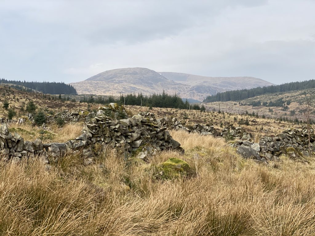
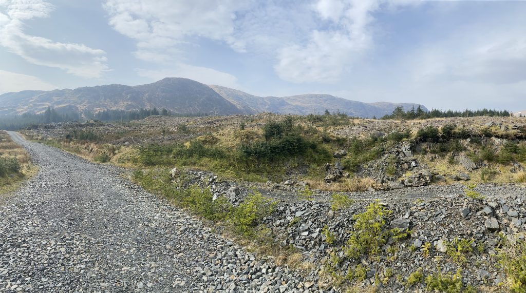
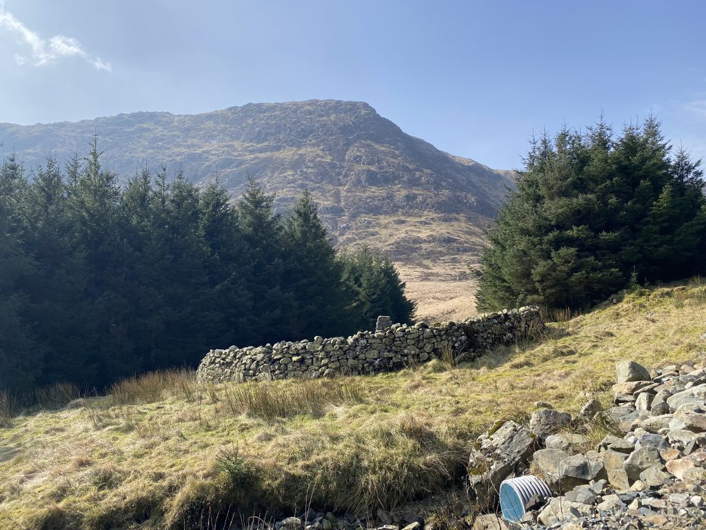
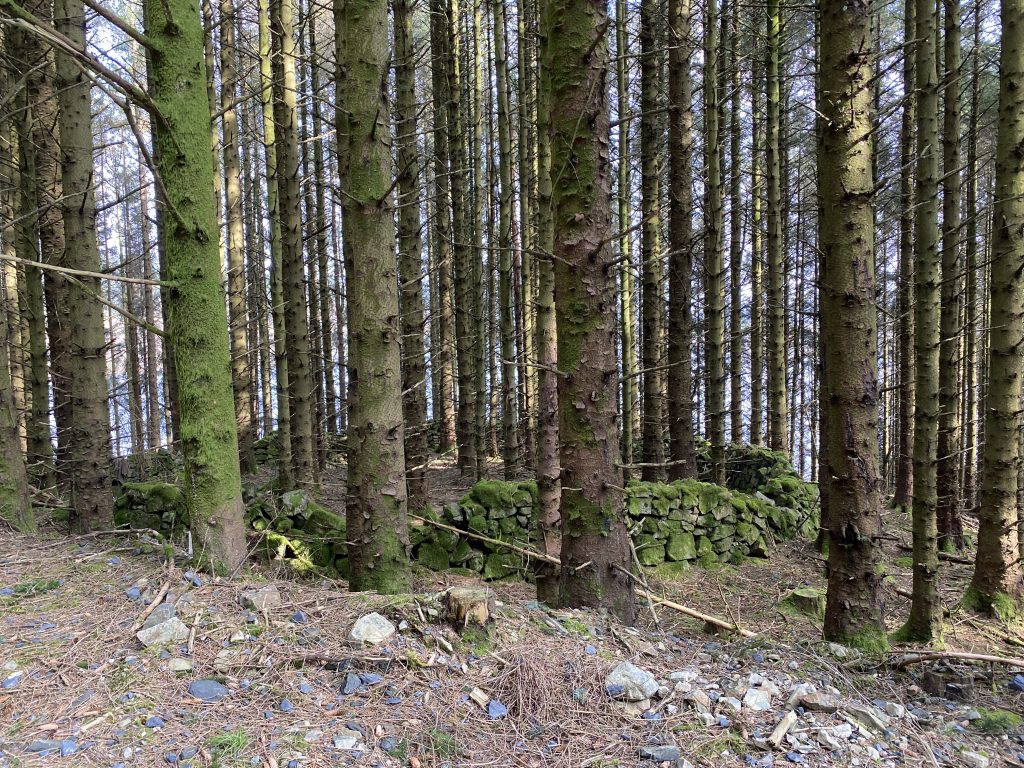
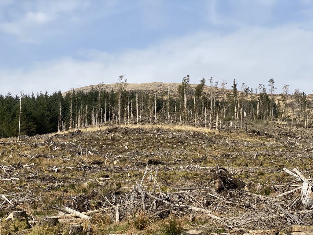
Much of the Estate’s forest has been felled, and several areas are in the process of being felled. This meant we could see walls, ruins, sheep folds and the lochs that would once have been hidden from view. All with the Rinns of Kells as a backdrop. It continued to astonish us how the hills could look much larger from further away, depending on the foreground. And we are not alone (see Gibson, J. J., & Flock, H. (1962). The apparent distance of mountains. American Journal of Psychology, 75(3), 501–503.)
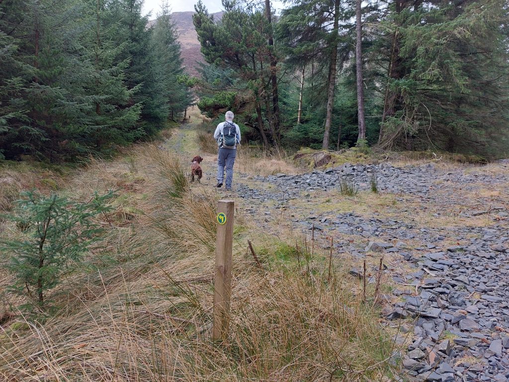
It took us about 50 minutes to reach the track leading up to Miekle Millyea and it had been uphill all the way (but only about 200m of ascent). We carried on along the main track (Prof H Heiberg Road) but only after a brief detour along the wee path to the foot of the hill. When I had come along here ten years ago I recall the ground was boggy, and there was a fence to clamber over, but the fence has gone and the path has been resurfaced .
Back on the Heiberg’s Road we climbed along Mid Hill with views back to Shinmount (that we had climbed a few days before). I had hoped to be able to look down onto Loch Dungeon but Mid Hill’s summit was in the way. There had been fresh quarrying by the track and apocalypse-mode clear fell beyond so we weren’t tempted to climb to the top of Mid Hill. I climbed to the top of one of the quarries but that was as far as I went.
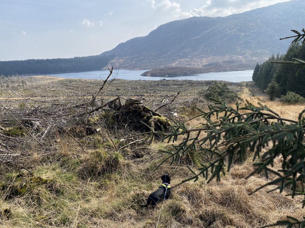
From Mid Hill it was downhill (for a short while) but just in case we found the going too easy, we had to go off track briefly to find a way around some fallen trees. Picking our way through fallen logs, tangled branches, mounds of sphagnum and pools of water added to the adventure. Mabel had to be lifted over the mounds of tangled branches.
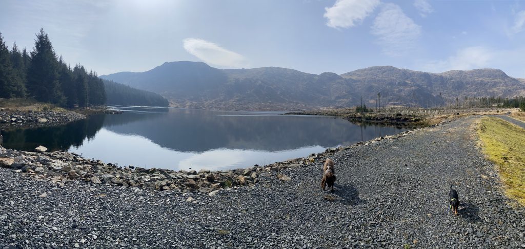
There is an unnamed burn that runs in a deep culvert from Loch Dungeon to Loch Minnoch and a sturdy bridge. Before crossing we turned along the track to Loch Dungeon itself, passing a reed filled pool that was probably part of the loch before it was dammed. The dark mass of Millyea, Millfire and Milldown stand behind the Loch and are likely the source of its name. Dungeon, daingean, originally had a meaning of fastness, fortress or rampart, so this is the loch of the rampart of the Rinns.
Loch Dungeon has a large promontory, called the Point of Ringreoch though it was better seen when we were up on the track up towards Millfire. There is another Ringreoch Point about 5 km eastwards on the Polharrow Burn. Ringreoch would originally have been rinn riabhach, meaning ‘grey/speckled point’ making The Point of Rinreoch a tautological placename (like Knockhill, where cnoc means hill). The name may just relate to the appearance of these places unless there is some devilish connection, An Riabhach Mòr, being a name for the Devil, ‘the grizzled one’.
The Loch would have been a great place for lunch but it was still early so we returned to the bridge and the path to Forlow’s Monument. The memorial is set in a small circular sheep fold, the ground inside planted with daffodils.
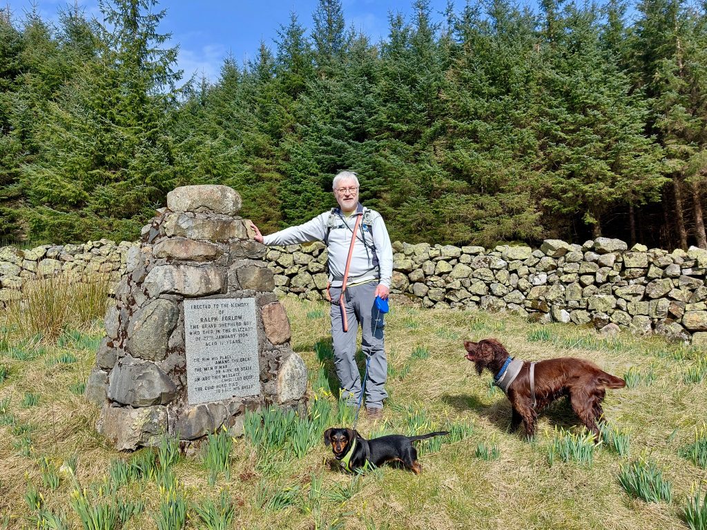
A plaque on the small cairn reads:
Erected to the memory
of
Ralph Forlow
The brave shepherd boy
Who died in the blizzard
of 27th January 1954
Aged 17 years
Gie him his place
        Amang the great
The men o war
         Or kirk or state
An add this message
       chiselled deep
The guid-herd died
         To save his sheep
A fire break runs up to the hills behind the monument and I could see a stepped stile on the fence. Older OS maps show a path going up over the Rinns of Kells around here but I’ll have to say the slopes looked uninvitingly steep.
The way back took us behind Loch Minnoch close by Haggis Hawse though it is unclear exactly where that is. The OS map has the name on some rocky outcroppings, whereas the OS name book describes it as a “hollow portion of land….situated a short distance to the west of Loch Minnoch”.
The walk back was straightforward. We only need to stand aside for a logging lorry the one time.
[sgpx gpx=https://www.screel.co.uk/walks/wp-content/uploads/2022/03/RK_gpx-_2022-03-22_1024.gpx]
