
11.4 miles 5h 9m ascent 221m
Mossdale to Merrick (part 1)
Mossdale to the Otterpool by the old railway to Stroan loch then the Raiders Road
In Samuel Crockett’s book The Raiders his hero tracks a band of reivers and cattle rustlers who have made off not only with stolen cattle but also one of the local girls. His adventure takes him from Rathan Island (Heston Island) into the lawless Galloway Hills, where “never an exciseman put his nose, except with a force of red soldiers at his tail, which did not happen once in twenty years.” Smuggling was common in the 18th and early 19th centuries with brandy, silks and lace landed on the Galloway coast and carried inland by bands as large as 200 men. The raiders in the book took the highway north through Laurieston, crossed the Dee at the Brig of Black Water, and took a drover’s road to Clatteringshaws. This drove route is now the Raiders Road Forest Drive.
Last week we had walked the northern ‘half’ of the Raiders Road. This week’s outing was the southern half. Lockdown had relaxed, from level 3 to level 2, but “You should not share a vehicle with anyone from another household, unless you absolutely have to.” Dangling prepositions aside, that meant circular walks for us.
There isn’t much parking space at the southern entrance to the forest drive, so we used the public car park at Mossdale, birthplace of S. R. Crockett, and followed the disused railway line from there to Stroan Loch where we joined the Raiders’ Road proper.
There is access from the car park directly onto the old railway but we didn’t notice it so we went over, rather than under, the road and along a farm track. Both ways are much the same distance but the farm track took us by some cows. Half were standing, half lying down. 50% chance of rain? Those lying down had the forecast right.
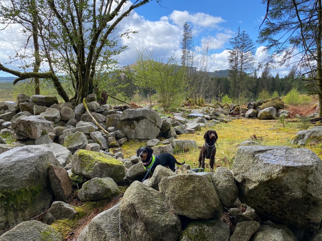
The railway here had run along a high embankment such that we were looking out across the tops of the trees growing beside us. A red kite wheeled beneath us in a small clearing and had the heavens not chosen that moment to deliver a full-blooded downpour I might have stood there to watch. Instead we trudged on, Christy unconcerned, Mabel walking with the canine equivalent of hunched shoulders.
Audrey and I had walked this wee section of the railway before and knew there to be a gate, just before the viaduct, that would allow us down to the loch. But neither of us had noticed the path going off into the trees before that. We decided to investigate, it would offer some shelter at least, from the rain. Though not on the OS 1:50k the path is in fact marked on the OS 1:25k map. It wound through the trees and brought us to the Forest Drive a couple of hundred metres short of the Stroan Loch.
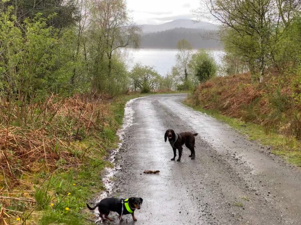
The road to Stroan Loch, in the rain 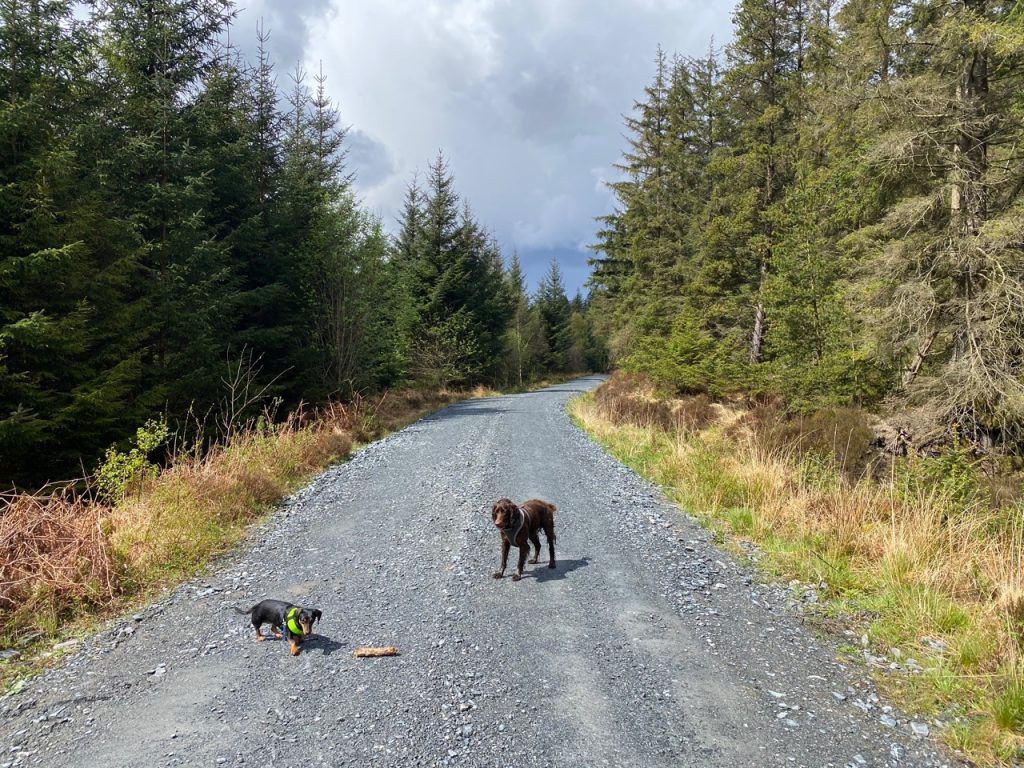
half an hour later
The car park at Stroan Loch was empty as we expected, but it would appear the drive has opened to cars since several passed us as we walked along. Given my previous experiences getting locked in I don’t think I would have driven past an open gate unless there was a big sign clearly stating the Raiders Road was now open to cars. As it was there were not many cars and the road surface gave good warning of their approach.
The rain cleared and I grew warm in my waterproof jacket. Within five minutes of putting the jacket in my rucksack, the rain was back. Audrey basked in the glory of having left her jacket slung over her rucksack for easy access. But the second shower passed soon enough and for the rest of the day we had sunshine.
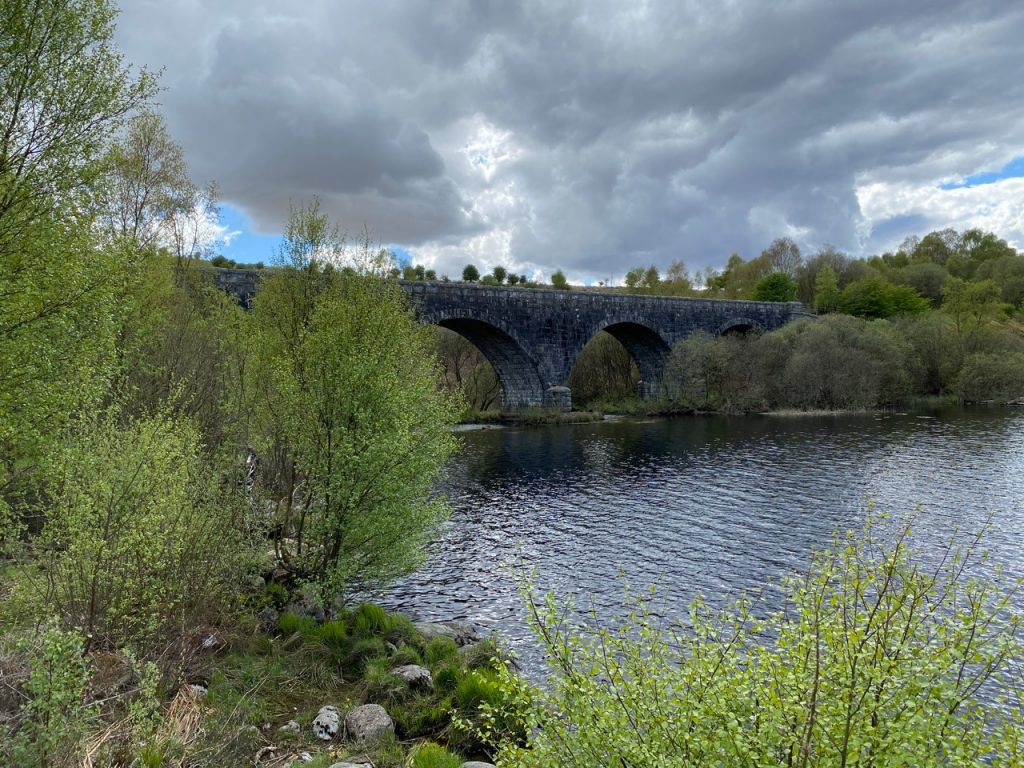
Stroan Viaduct (now defunct)
As part of the new ‘take breaks before we need them’ policy we stopped for a sip of water near the track to Barney Water. I had brought along my copy of “The Raiders” and read the chapter that has the hero crossing this area.
The hero, Patrick Heron, had made his way like us “along the highway – such as it was – till I came to the side of the long narrow loch that is called Grenoch, which is yet not the same as the larger Loch Grannoch that lies among the granite hills at the head end of Girton parish.” Loch Grenoch is not on the my OS maps but Woodhall Loch is named “Loch Grennoch or Woodhall Loch” on the 1843-1888 OS map. The ‘highway’ mentioned is now the A762 and crosses the river near to the “old Brig of the Black Water”, a little way south of Mossdale. From there he found himself “between Mossdale and the Stroan Loch pitched out upon the heather…”.
The hero picked up a local guide in Mossdale but they stayed high above the drove road for fear of being seen by the raiders. Instead they climbed to the brim of Cairn Elhart (Cairn Edward) and the across to the Black Craig of Dee. This had them “on the slope of a Galloway Hill, up to the knees in heather and shin twisting holes…” I can confirm the terrain is as described, having climbed both hills. Black Craig long held my award for most unpleasant walking terrain.
We took the drover’s route used by the raiders. Though now the track has a metalled surface so we had it easy.
Ruins near Upper Gairloch
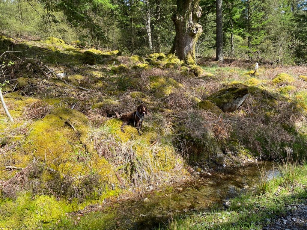
We had a look at the ruins near Upper Gairloch. There are sturdy walls incorporating large boulders that are probably erratics that have lain where they are since the last ice age. I thought it looked more like a sheep sheiling than a house, particularly since it had large boulders in the middle of it. The old map has several “Sheep Rees” marked around here but it looks as though it was actually part of a larger farmstead.
There is no loch to explain the names Upper or Nether Gairloch, but older sources show the names as Over Garlarg, Over Gairlarr and Nethirgarlary so ‘loch’ is likely not the original meaning. Gar means near, and I wonder the name refers to the nearby ford, the farms being above (over/upper) and below (nether) the ford. That said, learg usually refers to a hillside.
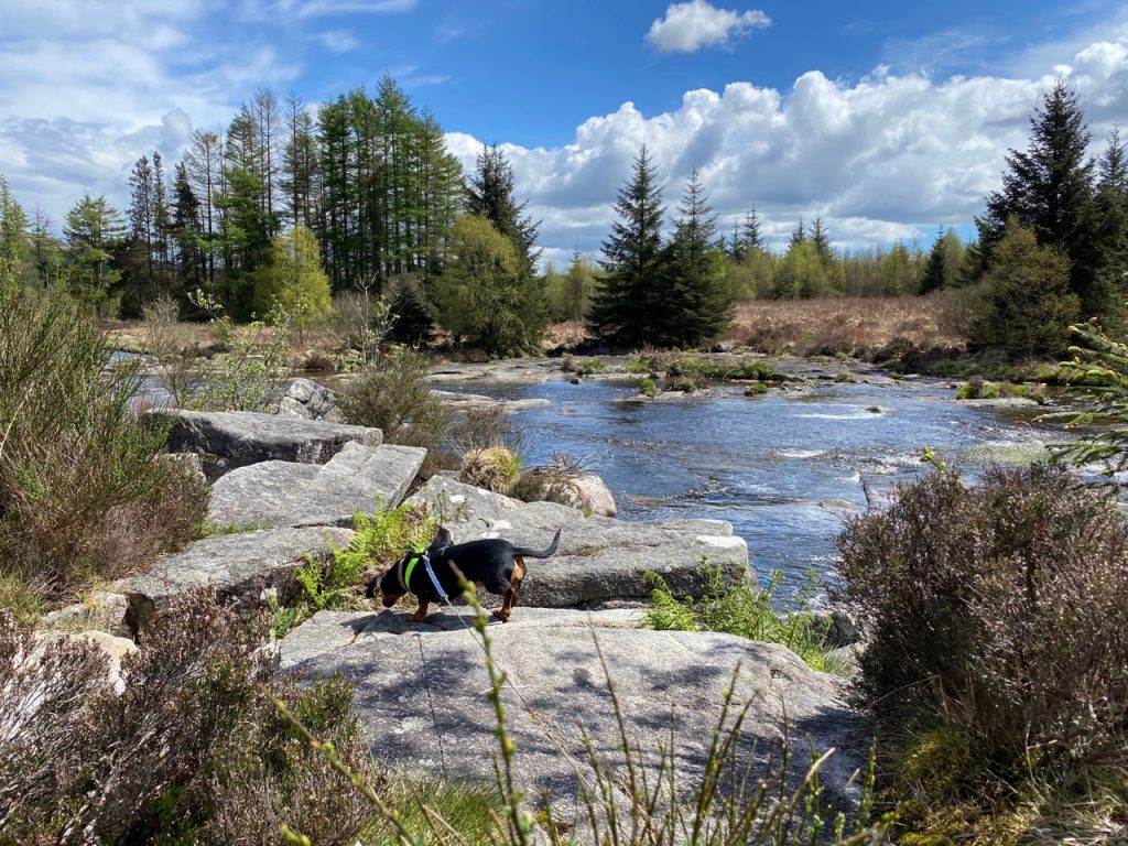
The Otter Pool was only a little further along the road and much as we had found it the week earlier. Though two other people did come while we were there. Mabel went into full semi-autonomous guard unit mode to alert us to their presence and had to be taken for a paddle to get her mind on something else.
Mabel at the Otter pool
I have seen the otter statue I don’t know how many times and taken many a photo. But it was only this time that I noticed the otter has a fish in its paws. I’ve asked my fish expert for an i.d. on the fish.
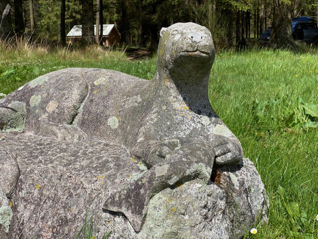
The Otter Statue (with fish)
After a leisurely lunch we set off back the way we had come. The sunshine stayed for most of the walk and this time we stayed on the railway all the way back from Stroan Loch to Mossdale. I could see the cows though and they were all standing up.
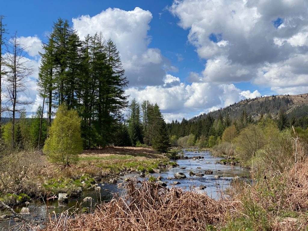
Galloway at its best
[sgpx gpx=https://www.screel.co.uk/walks/wp-content/uploads/2021/05/RK_gpx-_2021-05-18_1103.gpx]
