10.13 miles 6h 58m 274m ascent
Thorpe to Rocester
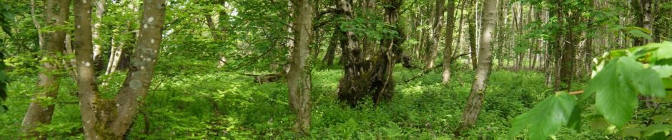
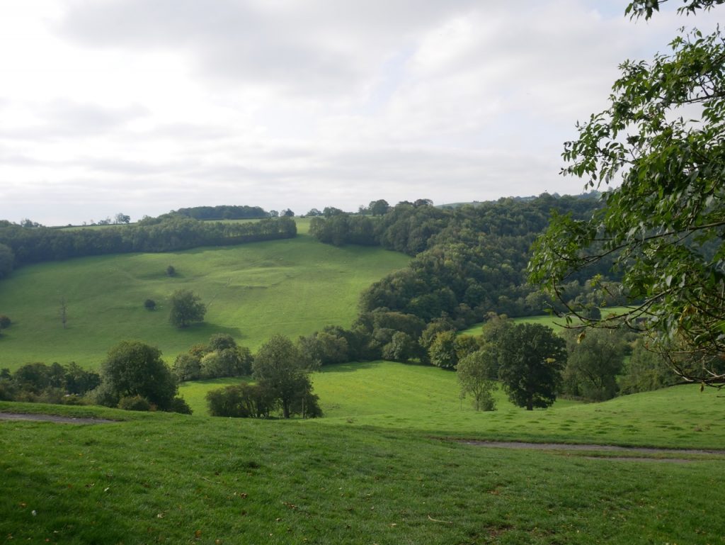
Our final leg of the Limestone Way took us out of Derbyshire’s White Peak and into Staffordshire. From limestone and dale to river and brick. The weather could not have been better, the walk was mostly downhill and we finished with a photo.
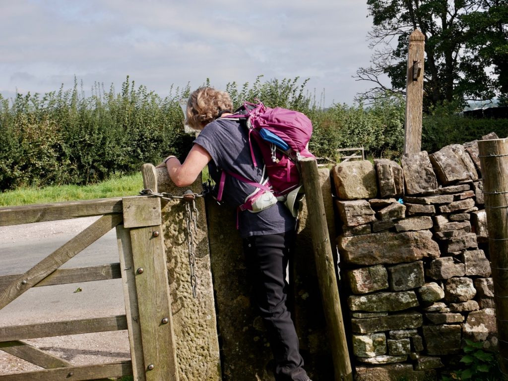
I had noticed the Limestone Way sign in Thorpe the previous afternoon. Had I missed the sign, we might have overlooked the gap that was our way through the longer grass beyond the grass verge. We started with a good deed for the day by persuading a couple intending to walk that way to Ellastone that they needed to go the opposite way.
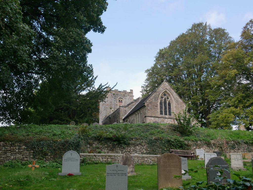
St Leonard’s, Thorpe
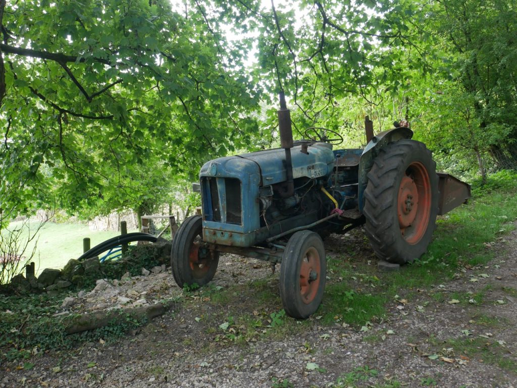
The grassy path took us through stands of silk-topped willowherb, and along a tree covered dell, before a short climb up behind St Leonard’s church. An old tractor, shabby but somehow contriving to look neither derelict nor neglected, sat behind the graveyard. A Thorpian Greyfriar’s Bobby, perhaps? And a small sign caught my eye, “Royal Shrovetide Football Challenge Walk Up’ards” .
Now, “Shrovetide” isn’t a word you often hear, I thought to myself. When, of course, I should have thought, “Shrovetide Football”, what’s that?
From Wikipedia: The game is played over two days on Shrove Tuesday and Ash Wednesday, starting each day at 2:00 pm and lasting until 10:00 pm. If the … the ball is goaled before 5.30 pm, a new ball is released and play restarts from the town centre, otherwise play ends for the day. The ball is rarely kicked, though it is legal to kick, carry or throw it. Instead it generally moves through the town in a series of hugs, like a giant scrum in rugby, made up of dozens if not hundreds of people. When the ball is goaled, the scorer is carried on the shoulders of his colleagues into the courtyard of the Green Man Royal Hotel … The two teams that play the game are known as the Up’Ards and the Down’Ards (local dialect for “upwards and downwards”). The Up’Ards are traditionally … born north of Henmore Brook, … and Down’Ards are those born south of the river.
Some of its rules:
The ball must be tapped 3 times in the area of the goal to score.
Committing murder or manslaughter is prohibited.
The ball may not be carried in a motorised vehicle.
The ball may not be hidden in a bag, coat or rucksack, etc.
Cemeteries, churchyards and the town memorial gardens are out of bounds.
Playing after 10 pm is forbidden.
“Shrovetide Football”, what’s that? It’s Medieval Football.
Another sign caught my eye. “Limestone Way”. It pointed through a squeeze gap that led us out of the trees. The hedgerows below us were grown tall around fields of short grass. Faint furrows showed these fields had once been ploughed, but the look was now parkland. Ahead was the broad green valley of the River Dove. The Dove takes its name from a time of Celtic language, meaning dark. In Scotland it would have been Dubh, or one of its many variants, Dee, Doon, or Duff.
Isaac! still thou anglest near me
from In Dovedale, by Henry Glassford Bell 1803-74
By the green banks of thy Dove,
Still thy gentle ghost may hear me
Breathe my reverence and love.
(the Isaac he calls to is Izaak Walton, author of the Compleat Angler)
Dovedale
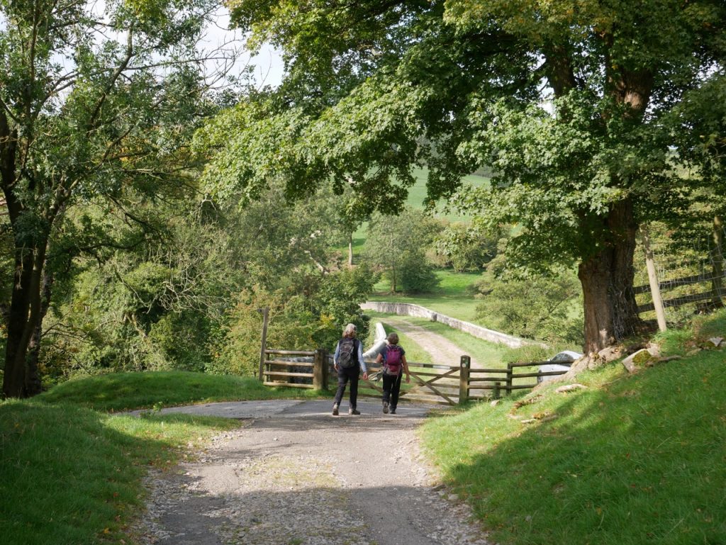
A man-made path immediately in front of us offered the option of going right or left and, of course, we could head directly down the pathless grass as we had a Ballidon. Right seemed the way to go. But we couldn’t ignore the signpost lying on the ground. It had Limestone Way arrows, after all. Audrey stood the post up and we tried to orient its pointers. We knew that one arrow should point back the way we had come but however we positioned the sign, its other arrows couldn’t be aligned to point right.
The whole exercise was complicated by my eyes having the standard human rather than Steve Austin resolution. As far as I could see the map showed that we should come out of the trees and continue directly ahead onto the track. Had I used a magnifying glass I would have seen the tiny turn that showed us meeting the track at 90°. So we milled about like the three stooges; one holding a fallen signpost, one squinting at his map (actual), and the other at her map (digital); each telling the others what they thought and each taking a turn to read the guidebook. If there had been no fallen post we wouldn’t have given it a second thought. In summary: ignore the fallen signpost.
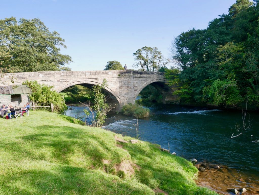
Once we extricated ourselves from the non-existent navigational dilemma we walked down to cross the River Dove. The Coldwall Bridge is more substantial than one might expect for farm track but when built in 1726 it carried the turnpike linking the Potteries with Ashbourne and Buxton. A milestone from the turnpike’s time, “Cheadle 11 miles” stands near the bridge.
Coldwall Bridge 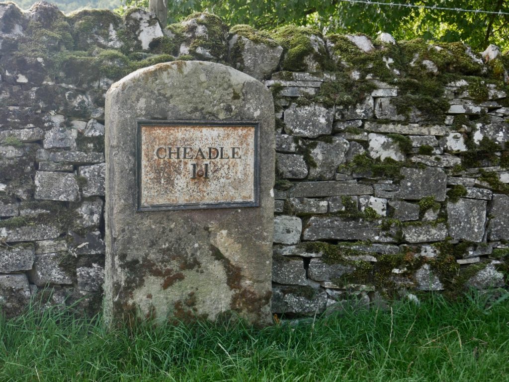
Milestone 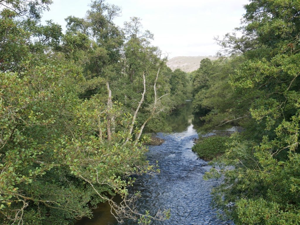
River Dove
A gravel track curved to our right but after following it a short distance I realised our route should have been straight up the grassy hill. There looked to be a faint path trodden into the grass, so we headed that way. Once on it though, we realised it was an illusion. At the top of the rise we stopped to look back to the limestone hills above Thorpe and the strange wiggly wall snaking up towards Thorpe Grange. We could have just stayed on the gravel track. It led to the same place, was only a few paces further and less steep.
Tight squeeze 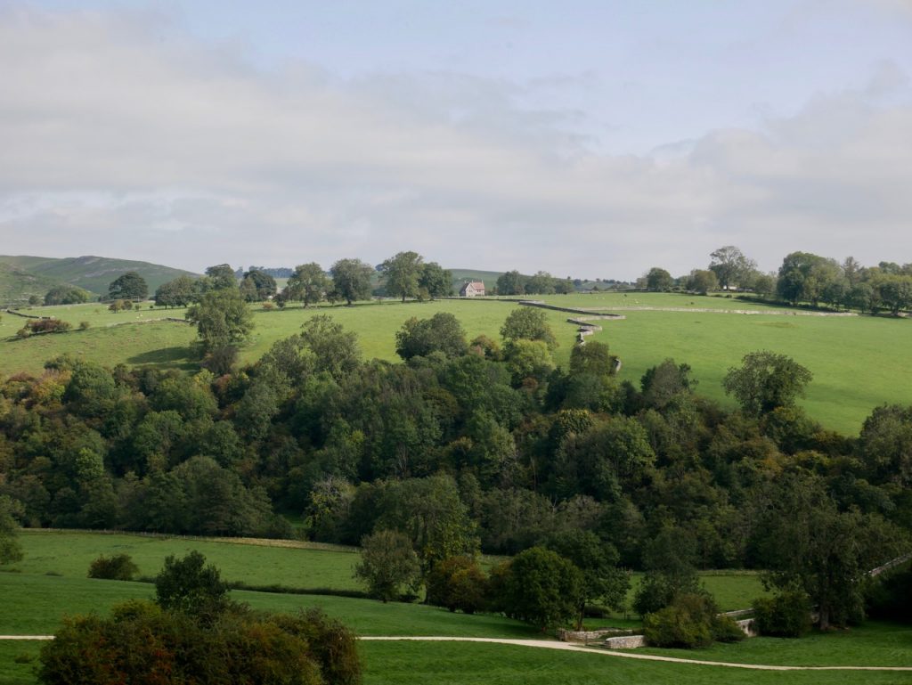
Wiggly Wall
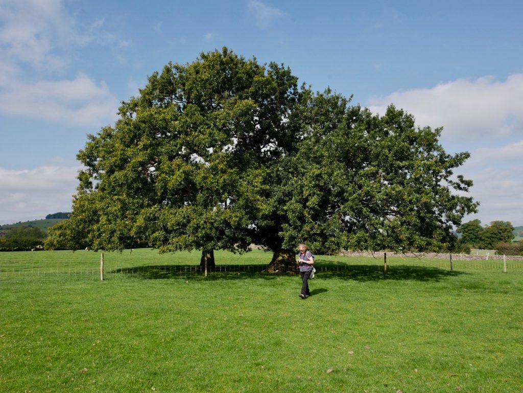
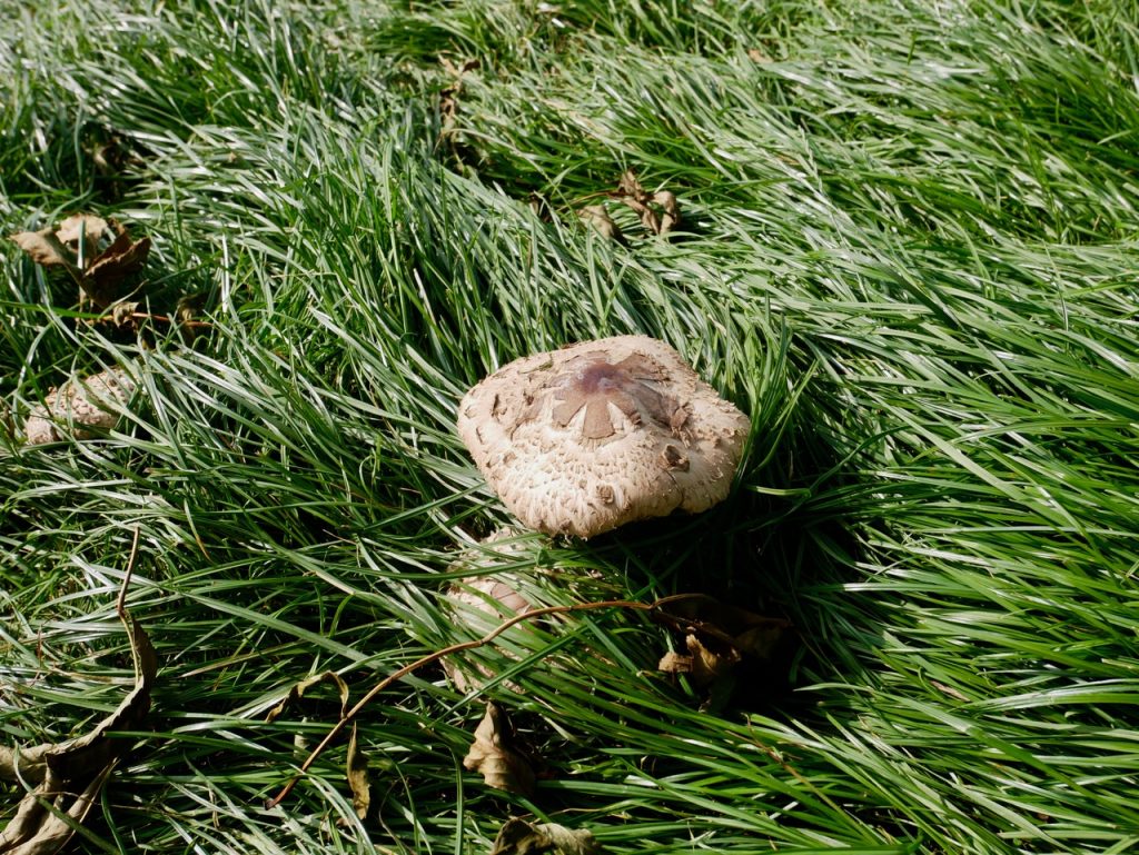
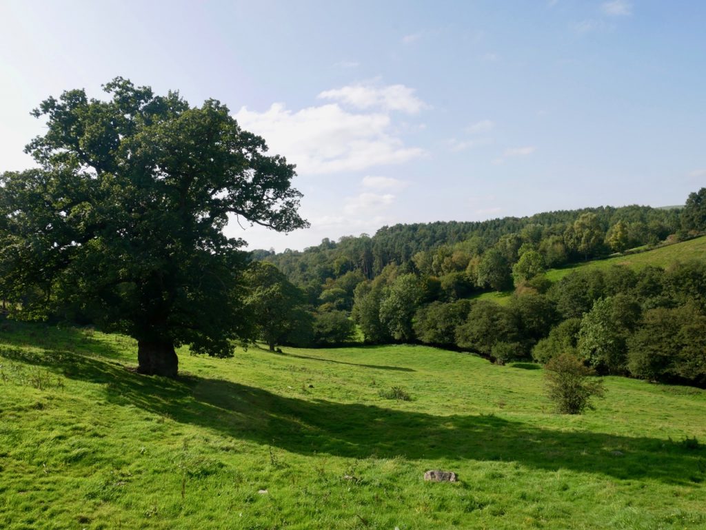
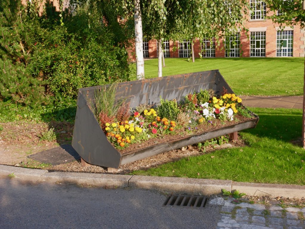
We crossed the road near Coldwall farm, a tight squeeze for some, then made our way over the dale and up to Woodhouses. There were Shaggy Parasol mushrooms in the grass, and a couple of magnificent oaks that were probably mother and daughter. I guessed the older tree was more than 200 years old. (The rule of thumb for oaks is 90 years for every person needed to touch fingers around it, or if you have a tape measure and calculator, the circumference in cm/1.88. For more detail click here ). Along the way we could see the Norman church over near Blore, and a glimpse of the cottage that had been our base for the week.
From Woodhouses a track took us along the ridge of Marten Hill, horse-riders trotting or cantering by us. Derbyshire stretched out to the horizon. We were coming to the end of the limestone plateau.
River Dove
From the A52 below Marten Hill to the B5032 near Ellastone we walked through the fields above Ordley Brook. We found empty fields guarded by electric fences, while sheep, cows, and bulls, needed only the holly hedgerow. I wonder if when the Limestone Way was being designed, this section was named “The Stiles”, and hailed as an opportunity to experience stiles in all their states; brand new, old, broken, unstable, overgrown with holly and brambles, too high, too narrow, barb-wired, and electrically guarded. Oh, I shouldn’t forget ‘hidden” of course.
lunchtime view
A concrete foundation shaded by an oak was just what we needed for lunch. A time to rest, appreciate the views, read the guidebook and look at the map. A farmer came driving up the field in his 4×4 and we wondered if our right of access included the right to eat our sandwiches. (I must admit that hadn’t crossed my mind. Surely, Helen was winding me up?) Anyway the farmer just waved as he drove past.
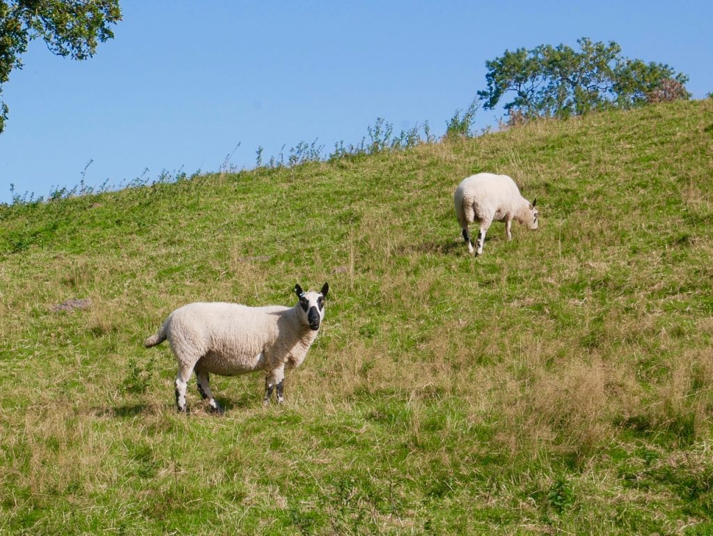
Kerry Hill Sheep, black eyes, noses and knees
Our navigation error for the day was near Hutts Farm and entirely our own fault. Too much talking and not paying enough attention. Instead of walking through the farmyard, as the Limestone Way sign indicated, we walked down the farm track. An unexpected bridge and brook was the warning we had gone the wrong way.
Once bitten, twice shy, we were especially careful finding our way around Ellastone, where there are a couple of forks in the paths. We certainly looked to be leaving the limestone behind. The farms and their buildings were now brick-built, and we skirted a large pond surrounded by low lying ground filled with wetland plants. We came to the River Dove in the afternoon sun for a riverside walk beside fields of clover and maize.
I was asked, by my ‘farming expert’ companion, to name the crop in one of the fields. It had been harvested. I studied the stubs but stem stubs all look the same to me. I should have noticed the evil smile on my inquisitor’s face. Oats she said. “OK..” says me. I’m always ready to learn, “How can you tell?” I was greeted with a knowing smile as she pointed to oats still growing by the path. Sherlock Holmes badge: failed working towards.
The final section of the walk was a climb, well a walk really, over Barrowhill. The large JCB headquarters across the River Churnet coming into sight as we topped the rise. A limestone way signpost sent us down the pathless grassy slope, the sun now in our eyes.
The real world and OS didn’t match at the B5030. The path is not directly across the road but a few metres along, hidden in an overgrown hedgerow. Our walk through Rocester took us by houses of varying ages. Some must once have been isolated farm cottages, others older town houses and some, newly built.
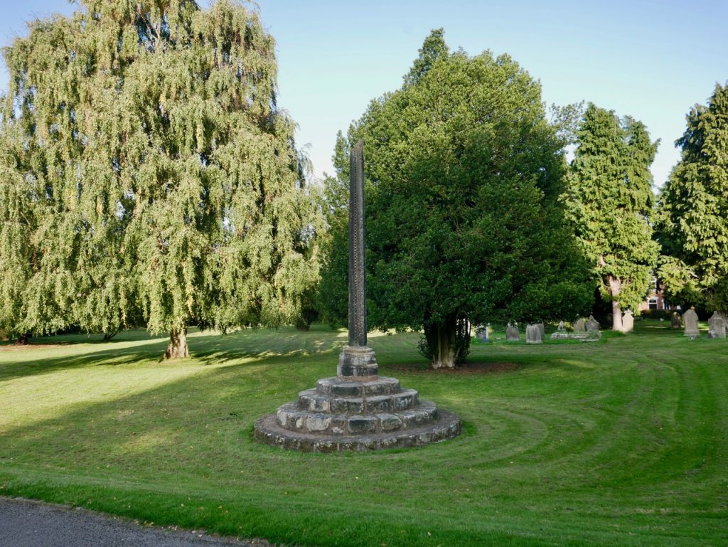
The Limestone Way skirts around St Michael’s Church, but we took some time to have a look around. Like many of the churches we had seen, St Michael’s was built long ago, the thirteenth century, but renovated (extensively rebuilt) in Victorian times. A 3m sandstone cross, albeit without its capital, remains in the churchyard. It is thought to date from the thirteenth century.
I was attracted by an unusual relief of a man and his dog in the graveyard. Closer inspection showed him to be a soldier standing among the war graves, each decorated with a wreath of poppies. One grave held Private A. Clarke, killed in 1917 aged 29. A wreath hid some of the words on his memorial. Glancing behind the poppies I found he was not alone. Alice Elizabeth, his sister, who died aged 92, is buried with him.
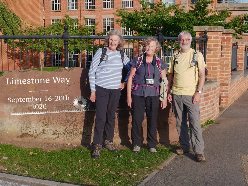
Our Limestone way walk ended by the JCB academy at Mill Street. A passing dogwalker was kind enough to take our group photograph despite his eager dogs trying to get up to the camera. He also answered our question as to how Rocester is pronounced. “Roaster”.
Our Limestone Way adventure complete, photos taken and congratulations shared, we headed for the car which was parked close to Rocester Bridge. On the way we noticed a green plaque on the wall. The mill beside us had been built in 1781-2, by Richard Arkwright, inventor of the spinning-frame. At the time this would have been at the cutting edge of manufacturing technology. Arkwright had tried using horses to power his machines but eventually settled on water-wheels as a power source. His factory was built on the site of a corn mill because he needed the same power source, the River Dove. And we call these classics of the industrial revolution ‘mills’ to this day.
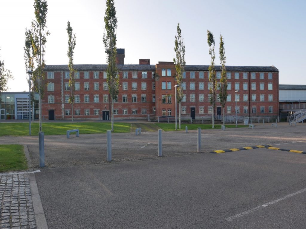
Arkwright’s Mill, now part of the JCB Academy
Our final day of the Limestone Way had taken us out of the White Peak. We had crossed the River Dove into Staffordshire, walked from stone houses to brick, and felt the first squelch underfoot, not counting the cow-pats on earlier days. It had been perfect walking weather and mostly downhill with just enough navigational uncertainty to keep us alert.
Limestone Way: Completed 20/09/2020 Audrey, Helen, Mike.
[sgpx gpx=https://www.screel.co.uk/walks/wp-content/uploads/2020/09/RK_gpx-_2020-09-20_1035.gpx]
