
7.77 miles (4.01 miles) 3h 53m 79m ascent
Rickerby Park-Spa Well
Hadrian’s Coastal trail, which we had walked in 2019, follows the old Cumbria Coastal Way from Ravenglass to Bowness where it meets the Hadrian’s Wall Trail. The Cumbria Coastal is no longer on OS maps, but used to continue up the Eden, to end at Metal Bridge.
We decided to walk these last few miles of the Cumbria Coastal before starting along D&G’s coast. In this time of COVID-19 restrictions that meant we could not use public transport or share cars. So this leg was done as a ‘circular’ walk, with 4.01 miles of the actual trail and the remainder getting us back to the start.
Nice weather, cows and calves, mud glorious mud, under bridges, disused viaducts, lifting dogs over gates, strange alcoves, picnic tables with curly seats, full size dachshund, anglers in the river, Austin Friars, railway buildings.
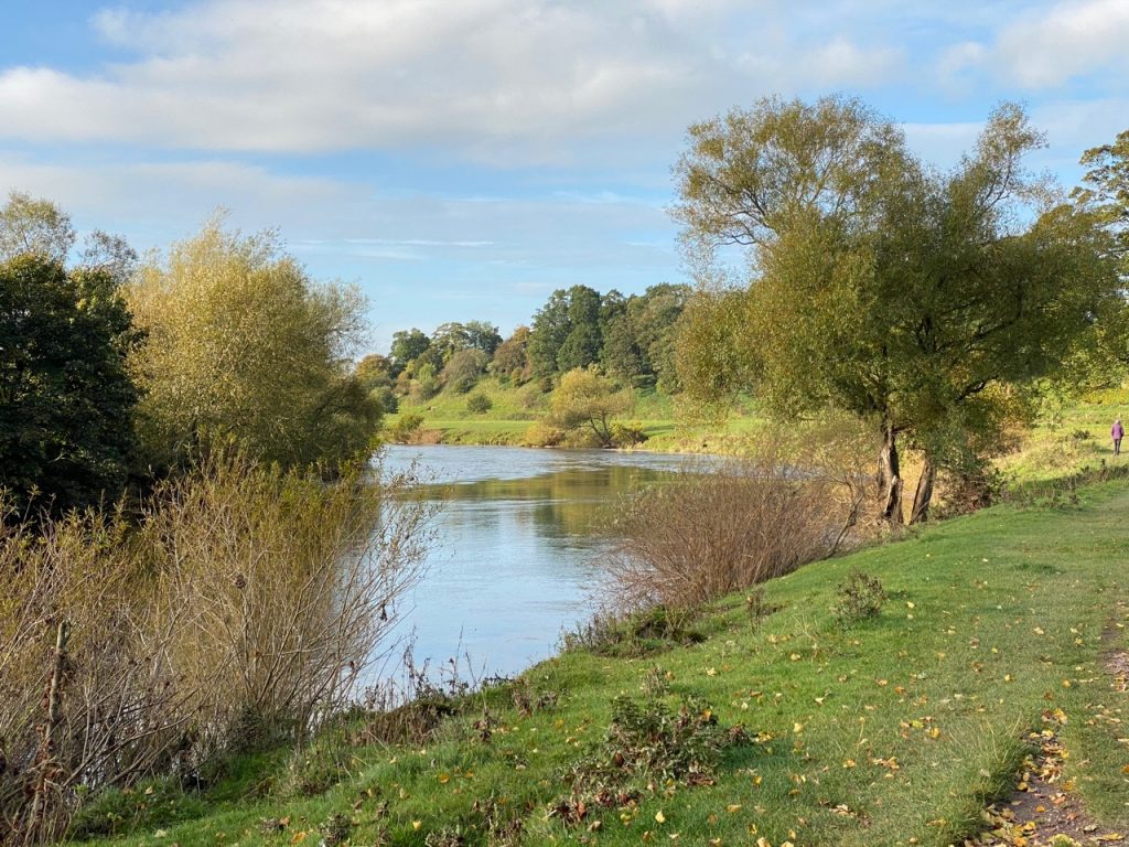
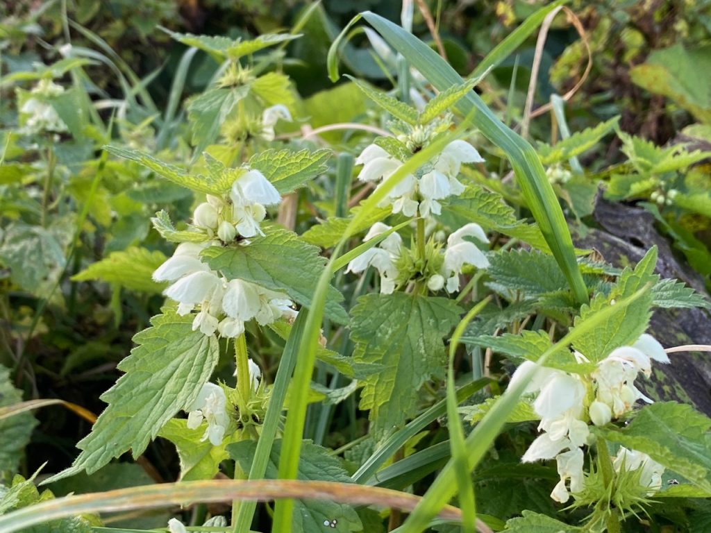
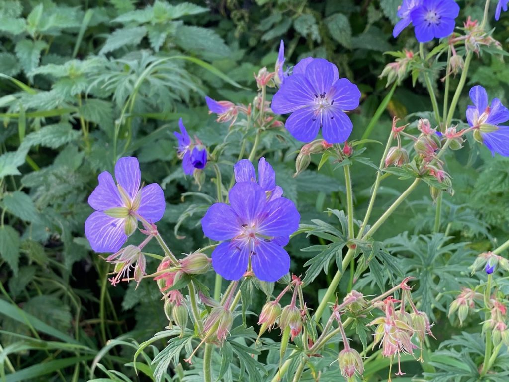
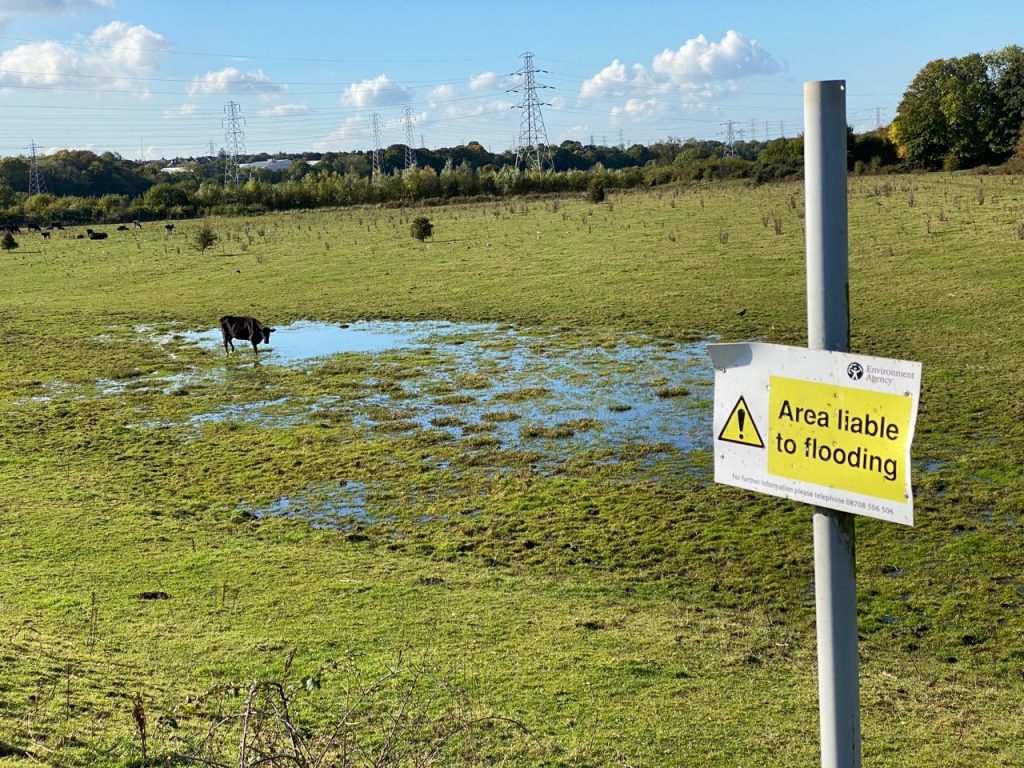
This was a sunny day, but followed a day of rain. The river wasn’t particularly high but there were some waterlogged fields and a spot or two of mud. This short route was mostly along the riverside, either on made paths, minor roads or grassy fields. We walked by anglers in the river, cows in the fields, some remaining flowers, including a large stand of white dead nettle near the cricket field.
There is no difficulty in finding the route – it is along the river – but what walk would be complete without some hurdle? Ours was a very muddy field. And I’m talking about over-the-top-of-your-boots mud, with the reduced mud options blocked either by dense gorse or cows with their calves. We went closer to the cows than I would have liked then bottled out and took on the gorse instead.
Until this point we had the option for our return to retrace our steps or use minor roads. We didn’t want to face the cows and calves again so that decision was made. The remaining riverside walk was easy going as far as I recall. The Hadrian’s Wall trail we had walked previously was on the opposite bank.
After a dog-leg in the river we left the river to make our way back. This involved climbing a gate (tied shut with barbed wire). Mi and Au climbed, Ma scooted underneath the gate. I had hoped Christy would fit between the bars but that was not to be so he had to be manhandled over it.
This saw us on a minor road/farm track covered with mud. A little before Stainton we found a track leading back to the river. This would bring us back after the mud/gorse/cows and calves and we could have an easy return along the river. The track became muddier and eventually we found our way ‘barred’ by an open gate. You might wonder how that could be but the opening had been much used by cattle and looked to be a knee deep gloop.
Not to be deterred we climbed along the gate and made our way by the gloop. The dogs managed to get through the fence/gorse beside the gate. Having got back to the river we realised we were still on the ‘wrong’ side of the field we wanted to avoid. Oh well.
The cows by now were making their way from the muddy field into the one we were using, meaning the gate was not a good choice. But there was an old rusted swinging gate we could use. We were then able to make our way to an electricity pylon keeping its legs between us and the beasts, then we made our way along the the riverbank itself.
From there it was all easy going. We even had some picnic tables to have our coffee.
[sgpx gpx=https://www.screel.co.uk/walks/wp-content/uploads/2020/10/RK_gpx-_2020-10-14_1022.gpx]
