9.42 miles 5h 48m ascent 68m
Myroch Point to Clayshant Bridge
A walk of two parts. An easy coastal stroll on autopilot, with the sun on our backs and a pleasant breeze, and then something closer to the antithesis of autopilot.
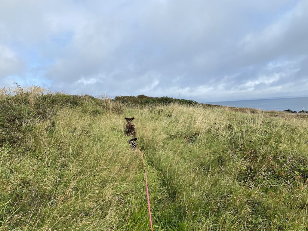
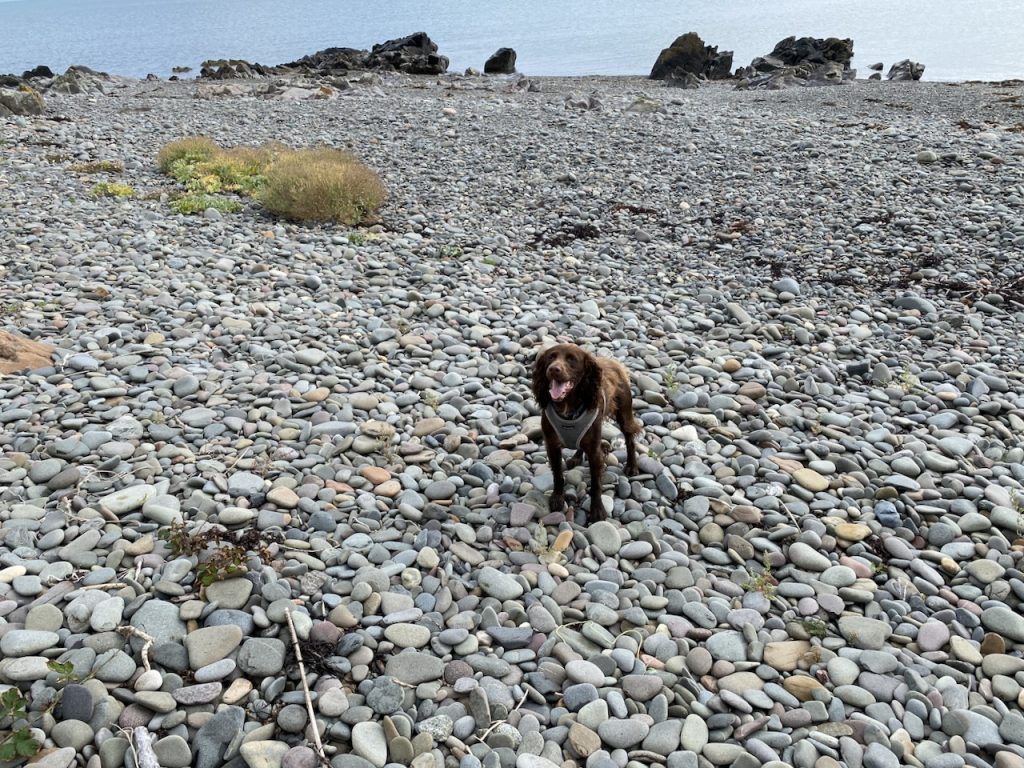
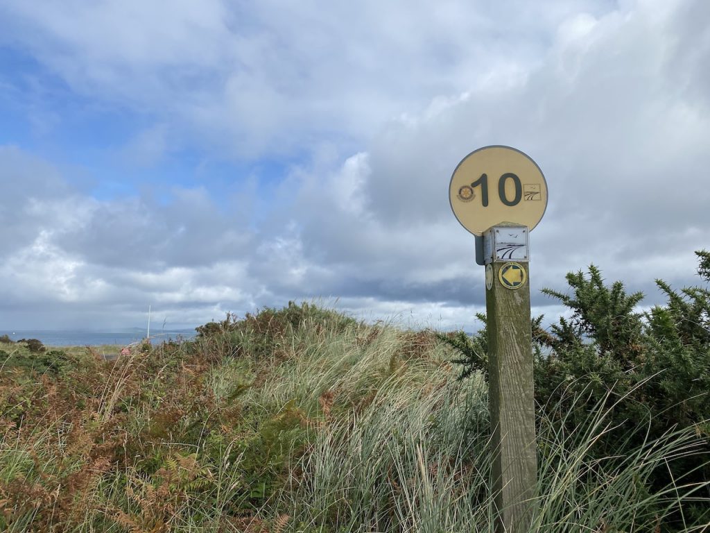
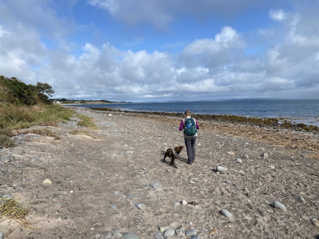
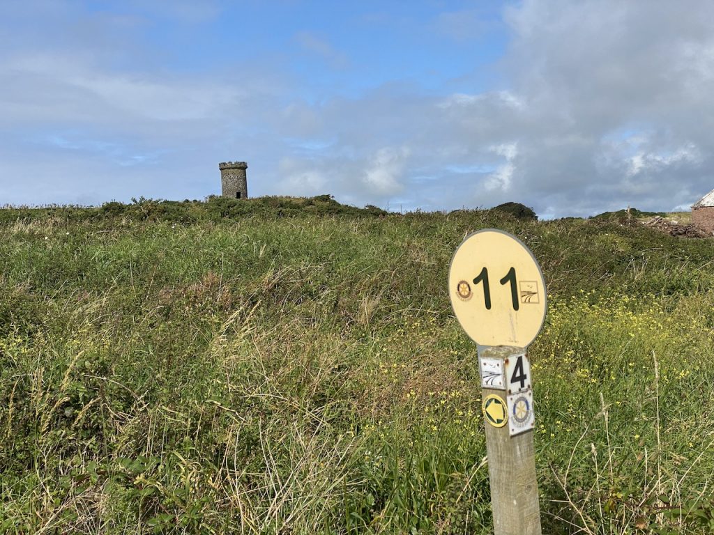
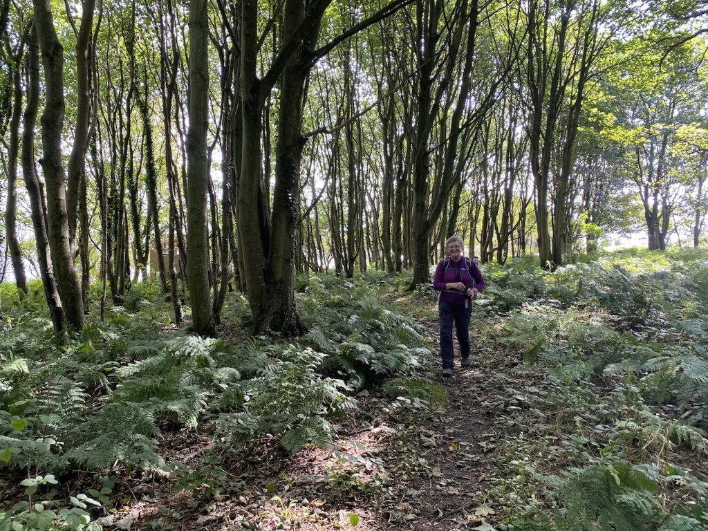
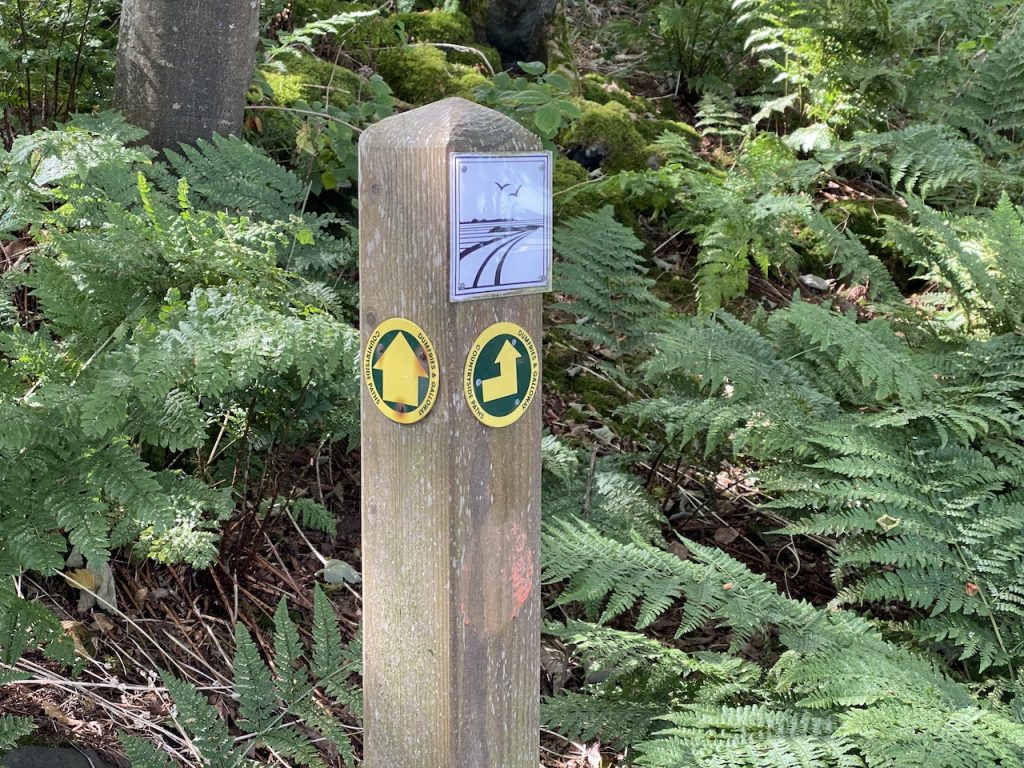
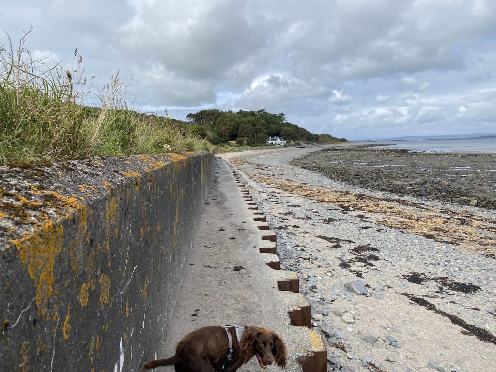
The morning began with a variety of coast paths over grassy dunes, shingle beaches, sand and through the dappled light of mature woodland. The path around a caravan park at New England Bay was way marked and we smiled as we passed the trail’s 10 mile marker.
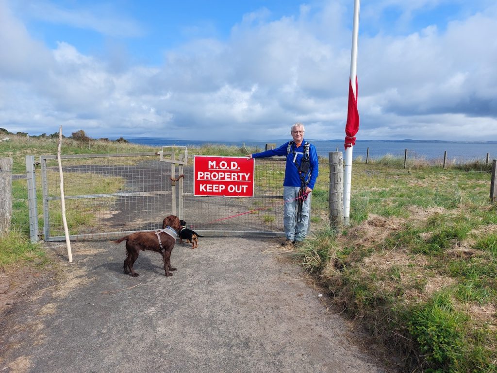
A locked gate marked “MOD PROPERTY KEEP OUT” near Balgowan Point brought us back to reality but there was a way marked route around the military establishment. We were soon back on the coast.
There is an old Windmill on a wee knoll just past the cottages of Logan Mills and a farm has a smaller copy as a gatepost.
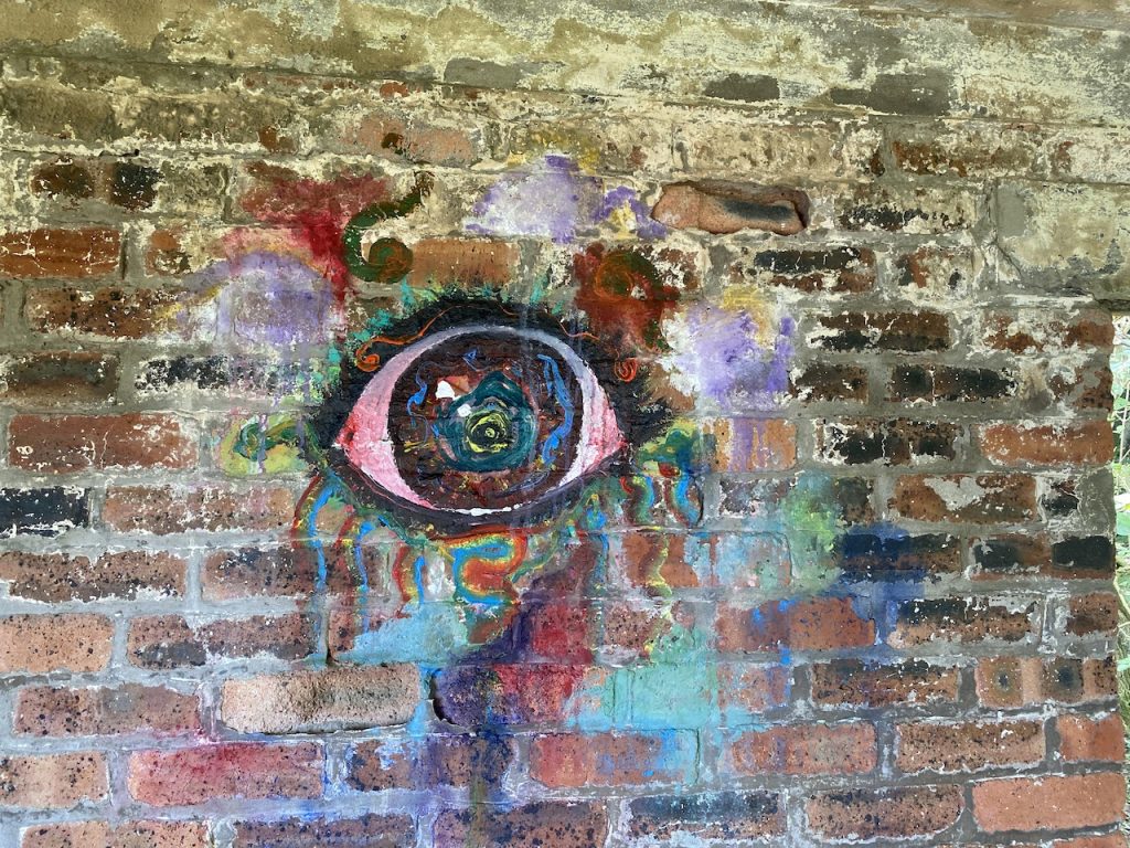
The trail took us through a small woodland at Longrigg where the crows were making a great deal of noise. We found an old brick building, long disused but with a military look to it. I presume it was once part of the bombing/targetting range. Someone had painted an eye on it. Perhaps in different circumstances I would have found the deserted building, the graffito eye and the corvid cries a little disconcerting, but it actually seemed quite pleasant.
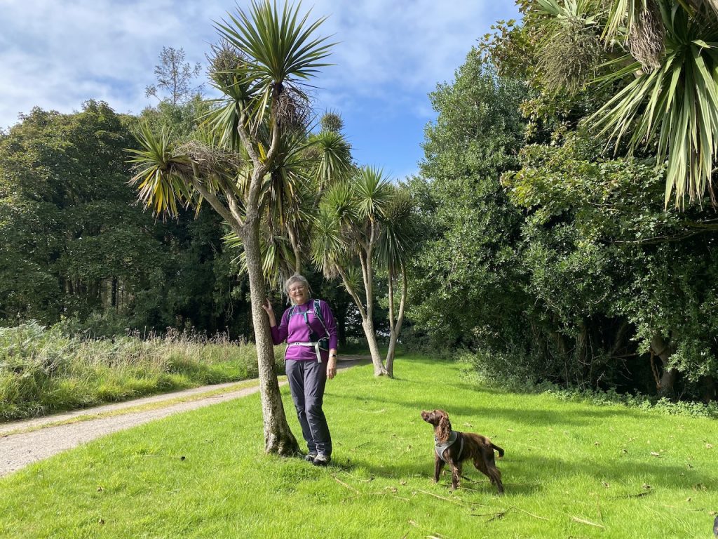
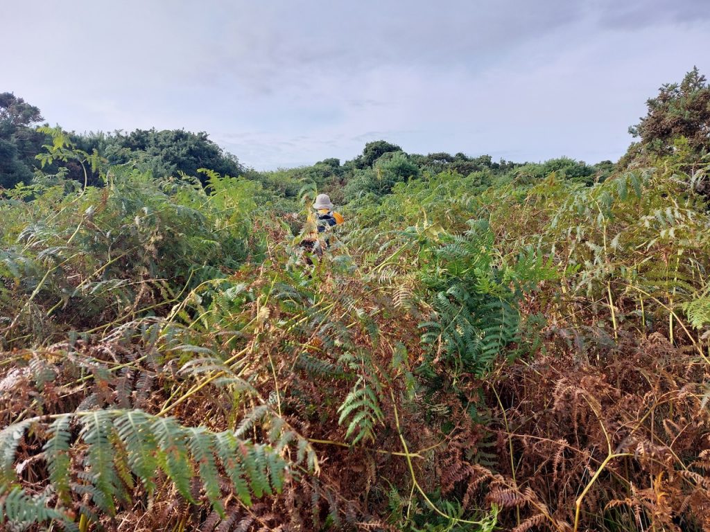
All had been going well, as far as the route was concerned, until we posed for photos by these wee palm trees as we left Longrigg Plantation. Perhaps there’s a curse or something.
The OS map shows the route going along the northeastern side of a field, then crossing a narrow wooded area to join the main road near Chapel Rossan. The fence around said field had, unfortunately for us, been ‘improved”. It was not short on barbed wire and there was no longer any sign of a gate or even a stile. Nor were there any remnants of a stile.
So we had a detour of three quarters of a mile, back across the field, and along the farm track to join the A716 near Auchness. When we reached the place where we should have joined the A716, there was still a way marker pointing that way. I decided to follow what remained of that route and it brought me to the other side of the ‘improved’ fence that had stymied us earlier.
If the route has been changed it would have been useful to have a sign explaining the change. Of course, just as recipes need a balance of sweetness and acid, it may be that whoever created the route felt that the walking experience would be enhanced with a dose of bitterness.
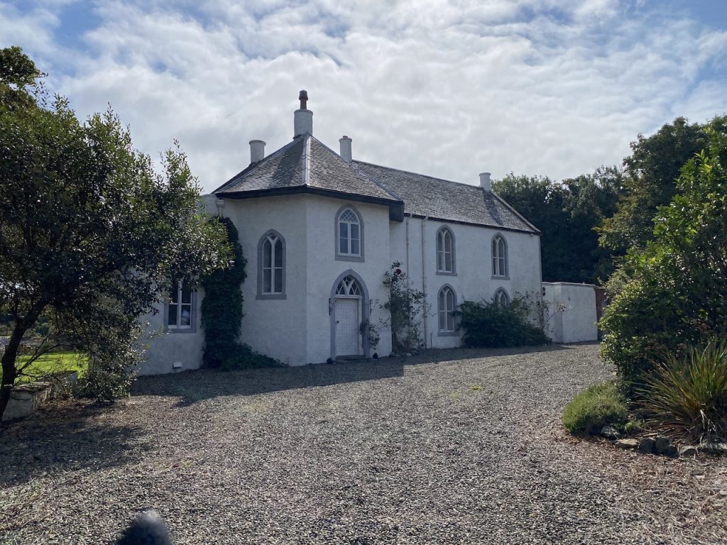
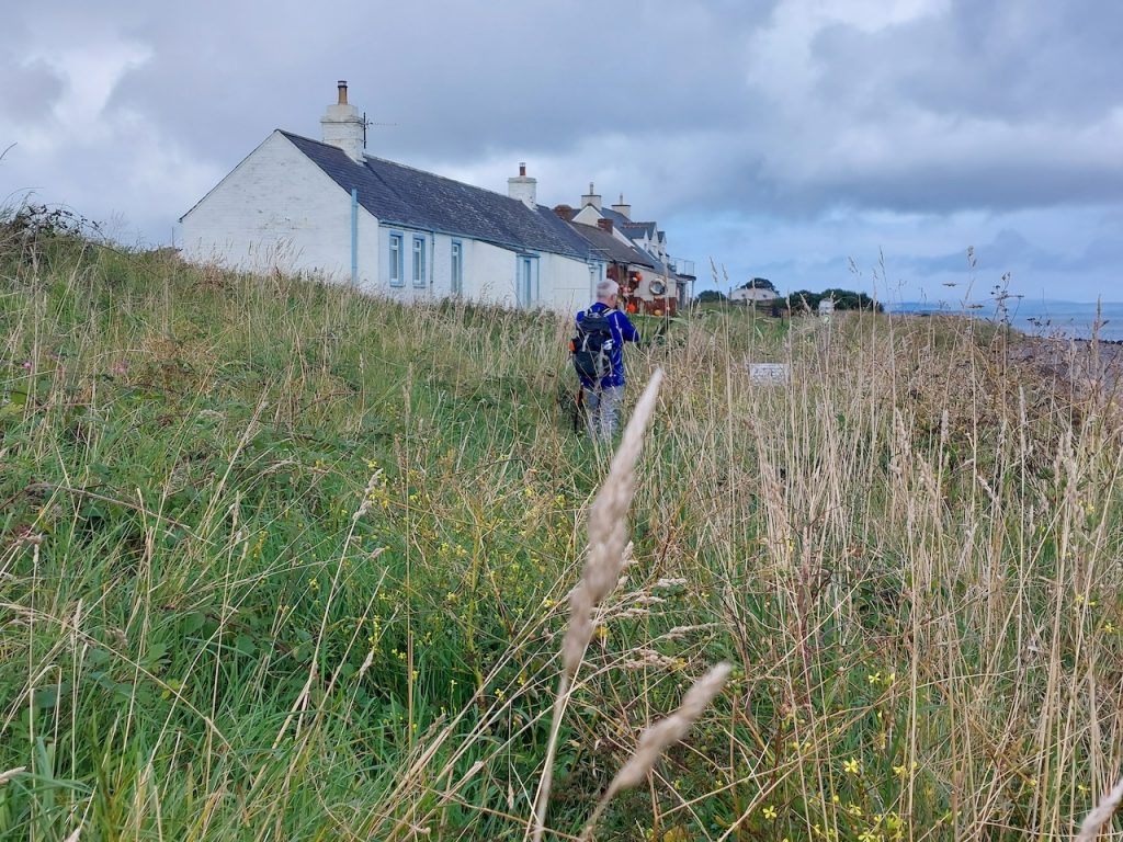
A little way along the A716 we passed Chapel Rossan which is not actually a chapel despite the ecclesiastical shape of its windows. The present building was built in the mid-nineteenth century, likely on the site of Logan Estate’s porter’s lodge. It takes its name from St Drostan’s Chapel, which was here between AD 600 and 1100. I think it is a private house now.
Ardwell was just a few hundred metres away. The OS showed our route following the main road but way markers took us along an overgrown ‘path’ closer to the beach. Ardwell does have picnic tables so for once we had somewhere to sit while eating our lunch.
After Ardwell the route was mostly shingle beach or grassy paths with views across Luce Bay to the Machars. The sea wall gave us some firmer footing for a while before Dyemill where we came upon a sign offering an alternative route. This I think goes up and across the main road then through a small woodland before rejoining after the cottages.
I presumed the alternative route was for use when the tide was in. And since the tide was out we continued along the regular route. Or so we thought. i suspect the route is immediately in front of the cottages at Dyemill, but there was quite a bit of stuff there suggesting that area was the cottage gardens, so we stayed on the beach. Now I think the cottage owners had put that stuff there to dissuade walkers from using their ‘gardens’.
But. It soon became obvious from our place on the beach that there was an actual path just above us. The problem being that it was not easy to find a way up to it from the beach. We did eventually manage to scramble up and had to man-handle the dogs up. I think it would be better for the ‘alternative route’ sign to have the word “alternative” removed.
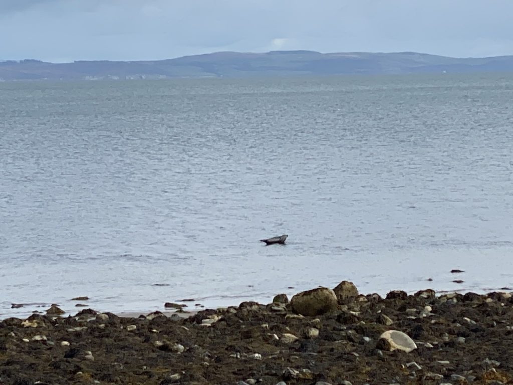
More shingle walking eventually brought us to Sandhead. Eagle-eyed Audrey spotted this seal as we walked along.
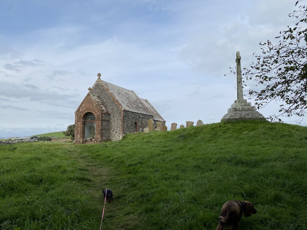
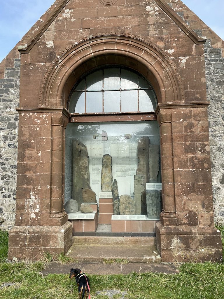
A wee bridge took us over the Cairnweil Burn and we found an information board telling us that the Kirkmadrine stones, dating from the 5th century were two miles inland. An extra four miles was too much to stomach at that stage so we decided to drive there at the end of the day’s walk. But I spent a good few minutes complaining that the route ought to have included the stones.
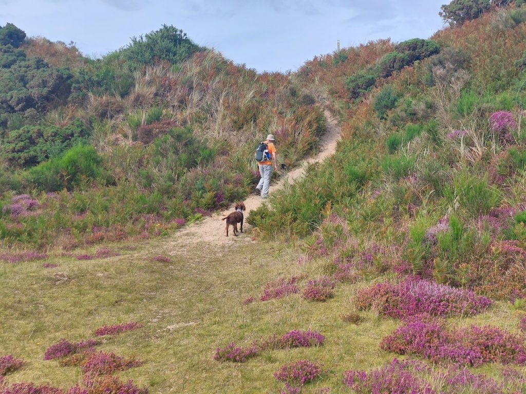
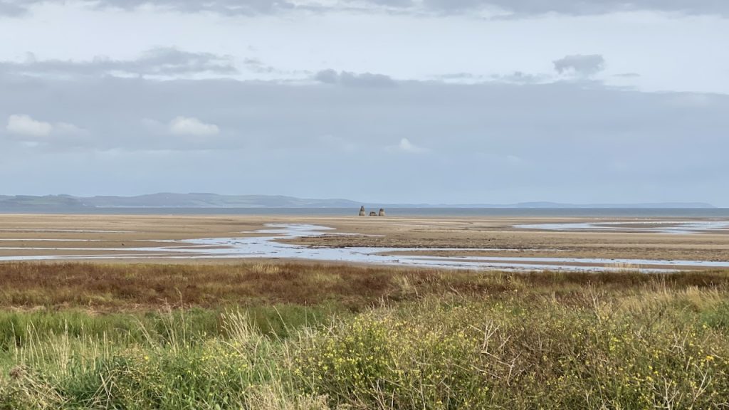
We then found ourselves on dunes above Clayshant, an area used for bombing practice. A group of what look like standing stones are in fact the remains of one of the bombing targets.

The last few minutes were spent walking along a very overgrown path which brought us to the B7084 and the car.