7.83 miles 4h 5m ascent 117m
Temple Sowerby-Colby Bridge
Our first Eden Way sortie of 2022, indisposition and inclement weather having delayed us. There was neither deluge nor drama and it was no great distance. But I cannot say it was painless. The first gate we encountered crushed my thumb in a malfunctioning fastening and a later one snagged my index finger. We only had light rain but the long grass had held onto the previous day’s rain and soaked our feet. The local custom seems to be to tie gates shut with nylon string which forced us to use stiles, many of which had been designed by Satan himself. In fact I think I can still hear his demonic cackling as I write this.
And so it was that, with a throbbing thumb, I stood near Temple Sowerby admiring the River Eden below me.
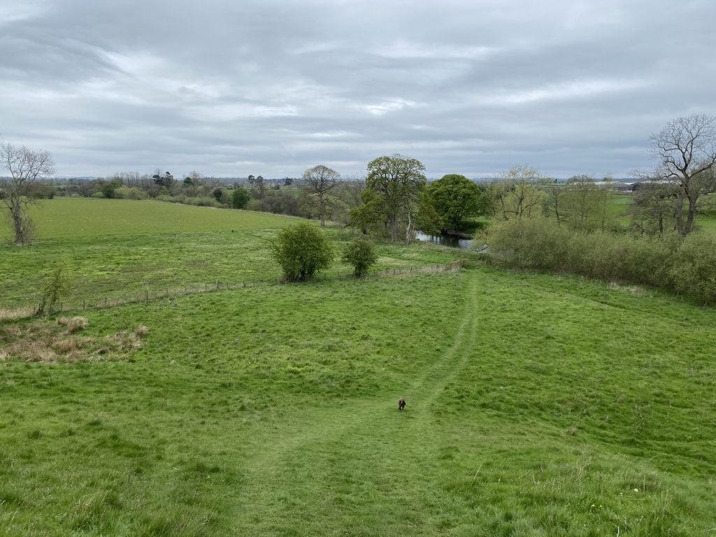
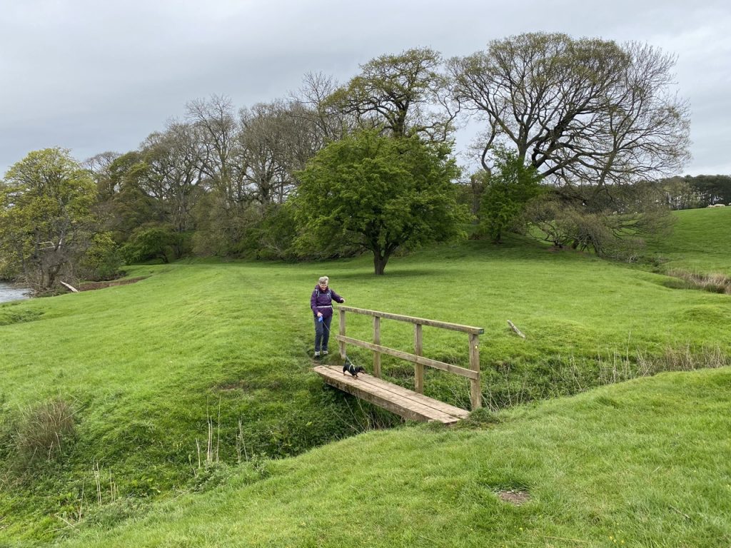
We walked down to the river and passed through the only kissing gate of the day. By the end of the walk we wished there had been more of these and fewer of the troublesome stiles. The riverside here was easy walking on grass that had been grazed short and there were even wee bridges to help us over the larger ditches.
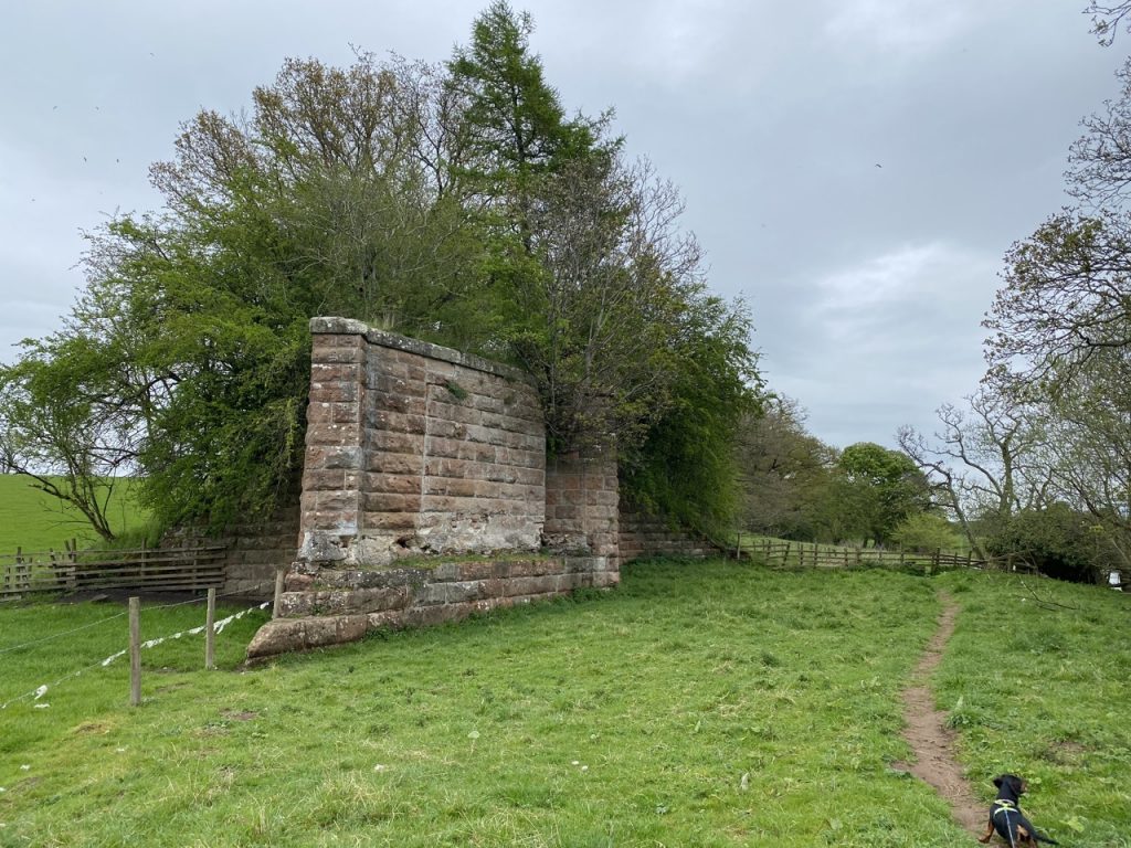
The Eden Valley Railway viaduct that once crossed the river near Skygarth is long gone leaving only the sandstone pillars on each bank. The garth of Skygarth referred to a fence, and came to mean the land enclosed by a fence. Its modern descendents, guard and yard, capture both senses. The Old Norse skidgarðr, would have meant “a place surrounded by a wooden fence”. There is a footbridge close by and I presume Skidgarðr was built where the river could be forded.
Older OS maps show a ford on the river between Skygarth and Ousenstand Bridge. There is a farm named Ousen Stand across the river but I have read that Ousen Stand was a name for this stretch of the river. Ousen is a northern and Scots version of oxen, which makes me wonder if oxen used to stand in the water here .
There’s auld Rob Morris that wons in yon glen,
Robert Burns
He’s the king o’ gude fellows an’ wale o’ auld men,
He has gowd in his coffers, he has ousen an’ kine,
An’ ae bonie lassie, his darling an’ mine.
His “ousen and kine” are his oxen and cows. Kine is an old plural for cow. One cow, many kine. I doubt I’ll have much need of the word ousen but kine, that I might try slipping into conversation if I can.
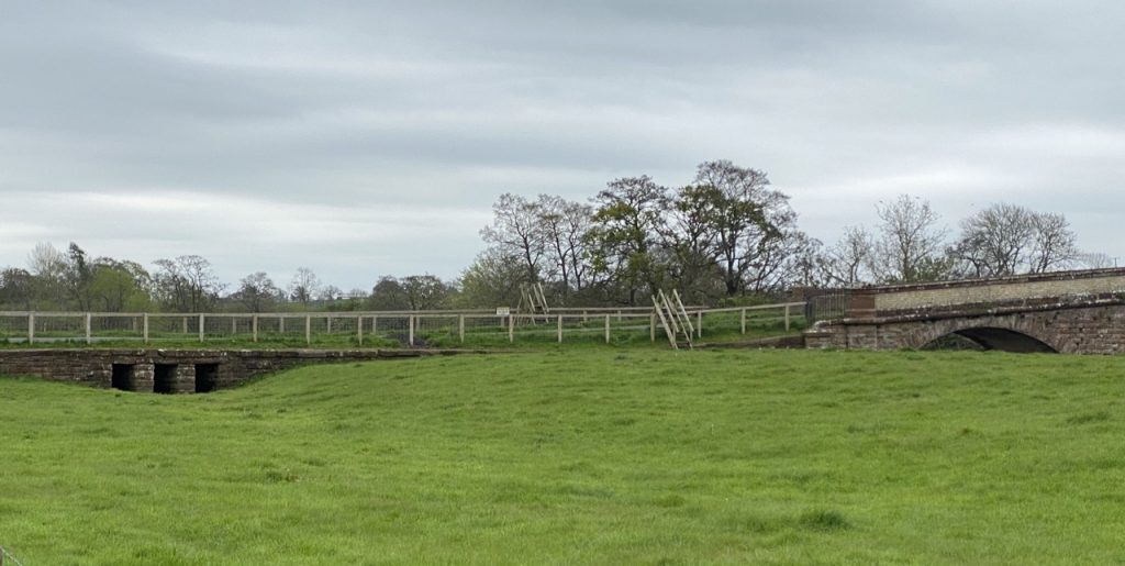
We didn’t need to cross the river at Ousenstand Bridge but there was a road to cross and a fence either side of it with tall step stiles. These contraptions are not wee dog friendly but luckily for us the river was low enough that we could walk under the bridge’s nearest arch. Christy went first to chase off the trolls, but there were only ducks and they flew off.
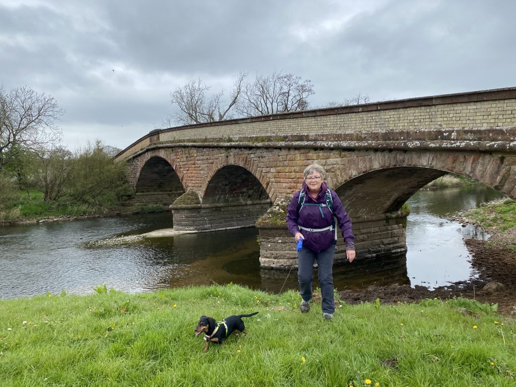
Then it was more grassy riverbank, and a stile or two on the way to Kirkby Thore. There were fields full of what we at first took to be cuckoo flowers but turned out to be dandelion clocks. We had our first light rain and I asked Audrey if she could get my cap from my rucksack (the peak keeps the rain off my glasses). She was surprised to find a plate in my rucksack. How else am I expected to eat my sandwiches?
I had put it there so I wouldn’t forget to return it to her, but forgot all the same. Even worse, I forgot it was there when I did eat my sandwiches.
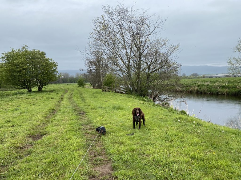
As we approached Kirkby Thore we had the unusually pointy top of Dufton Pike ahead of us. We remembered to ignore the first “Public Footpath” sign which is a kilometre or so short of where we actually needed to leave the riverbank. We passed through what must once have been a small cutting beneath the railway then up through a field of kine.
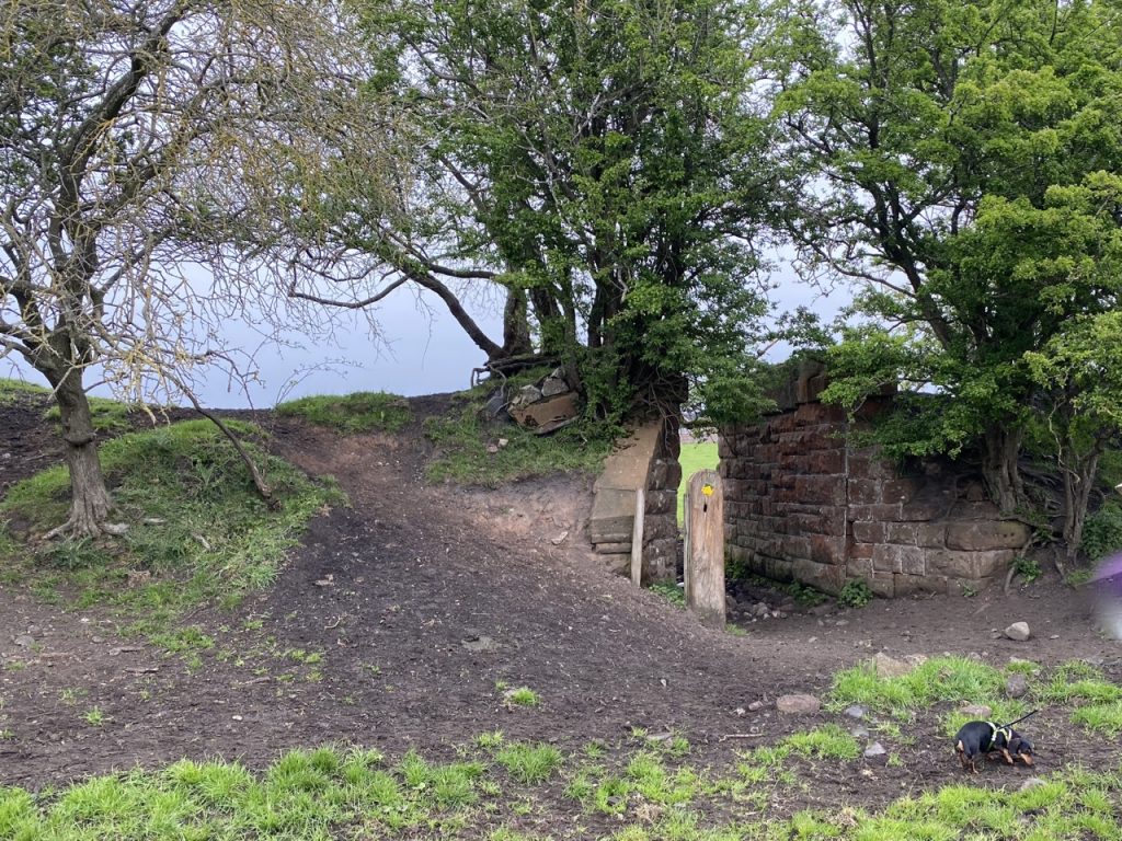
We reached the A66 via a gate armed with a military-grade spring. I was brought up in a city and crossed major roads getting to and from school but I’m glad our journey didn’t call for a crossing of the A66. The torrent of traffic was unrelenting.
It was time for our first break. A bus-stop gave us shelter from the rain and a seat but its feng-shui was as comforting as a concrete underpass and the traffic just too loud. So it was a short stop.
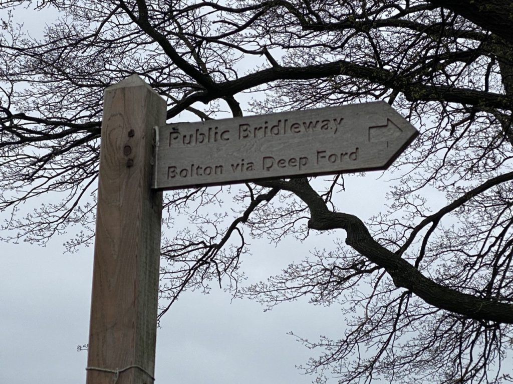
The guide book says to turn right immediately after crossing Trout Beck and walk between the stream and farm buildings. But that wasn’t possible. Someone has done an effective job of blocking the narrow gap between the farm and stream. The track into the farm didn’t look promising either. We spotted a wooden signpost further up the road beyond the farm buildings: “Public Bridleway – Bolton via Deep Ford”. The first two elements sounded promising but “deep ford” was a little worrying. All the same, we went for it. I presume the farm owners have provided this as an alternate bridleway.
We managed the gate then waded, rather than walked, through the deep lush grass beyond. I recall marvelling at the amount of water a blade of grass could hold. The dogs were washed clean and my socks grew wet. We crossed one farm track (where once the railway ran) then came to a paved track. We chose to ignore a sign to the “deep ford” and followed the public footpath to the riverside and then along to Bolton Bridge. The bridge had its name removed in WW2, to confuse German paratroopers so it now reads “■■■■■ Bridge 1870”.
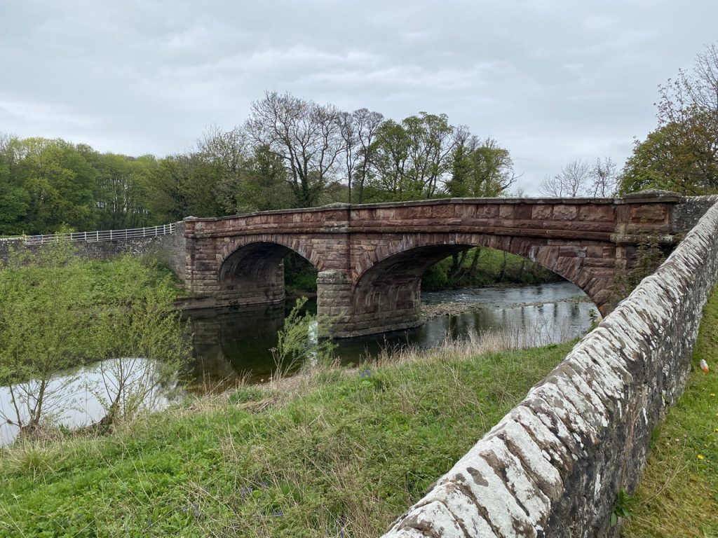
We crossed the bridge and turned along the small road to Bolton Mill Holiday Park. A footpath sign pointed us into a field where we had to hurry past a couple of curious, spirited ponies. We could have by-passed the ponies by walking a little further but didn’t know that at the time. The next forty minutes was a tad trying.
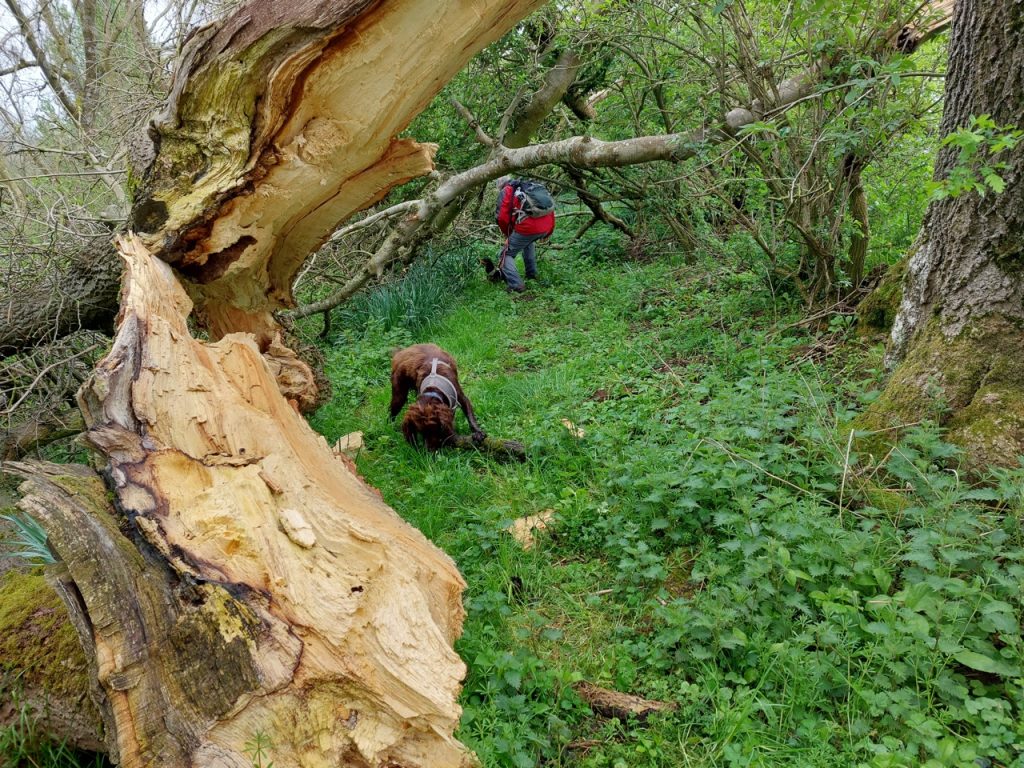
First we made our way through a small wood. I can only presume that we somehow missed the actual path. All seemed well at first but it soon became overgrown, littered with holes above a steep slope and obstructed by fallen trees. But we made it, leaving the wood by the first of several difficult stiles. Little did we know that we were set to experience the full array of stiltular failings: wobbly construction; slimy slippery steps; rotten wood; barbed wire lurking close to hand holds; space where a dog might get through, blocked; big drop off the far side. The king of the Devil’s Stiles had all of these but was also a double stile crossing a ditch of indeterminate depth (being overgrown with weeds). Did I mention that the fields these stiles guarded were uneven with hidden holes and deep wet grass?
Eventually we reached the river. Where there should have been a gate or stile there was a metal grating tied in place, beyond which an eroded path threatened to drop the unwary into the river and then another stile. But there was another way. An actual farm gate. But it was tied shut with a tight knot in nylon string. As we stood, somewhat deflated, readying ourselves to manhandle the dogs over grating, the farmer who was tying the knot (in a literal rather than marital sense) at another gate nearby, took pity and untied our gate. And then the one he had just tied. So we crossed another wet field to reach the Bolton-Colby road, at New Bewley. Our boots touched firm ground.
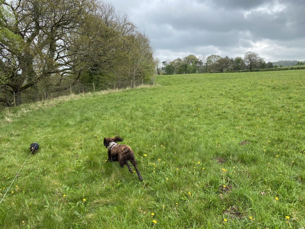
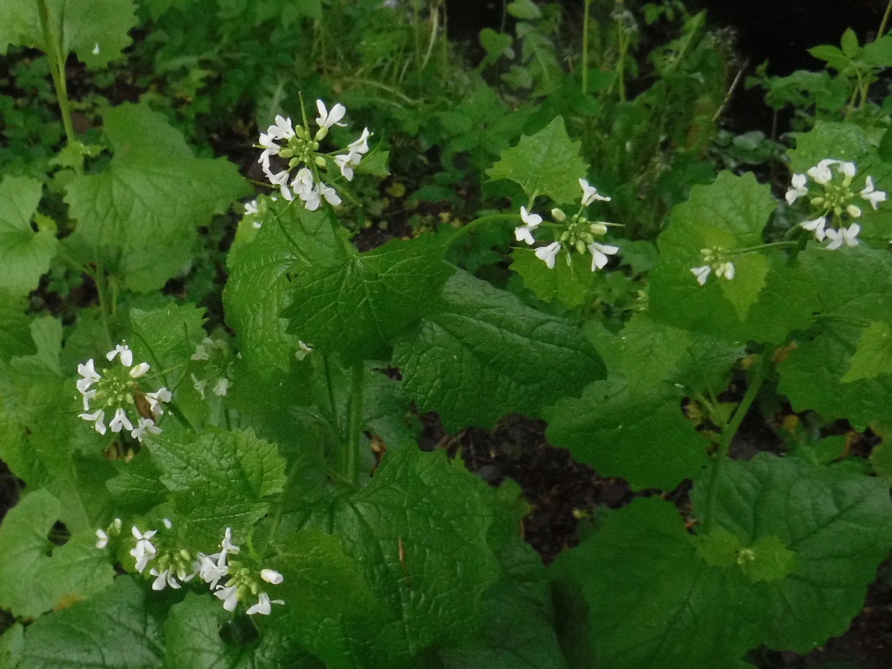
I felt I had done a cardio session hoiking the dogs over the stiles so it was good to have an easy stroll along a narrow country road. There was hardly any traffic and we had little to look at bar the hedgerows. There was a great deal of a white flowered plant growing in them but I couldn’t recall at the time if it was garlic mustard or hedge mustard. I tasted a leaf and knew. The immediate taste was like English mustard but that was followed by an unmistakable aftertaste of garlic. If my sandwiches didn’t already have mustard in them I might have taken a couple of leaves for them.
We crossed Sweetmilk Bridge and took a break near Penny Hill Farm where there is a wooden seat among cowslips, daffodils, and bluebells. It was good to sit for a while but as ever Christy wasn’t happy stopping.
At Colby, where the Eden Way turns left across a pipe bridge, we continued on the bridleway beside Hoff Beck. The sun came out and half a dozen white fantail rose from the field beside us. All seemed well. But then the bridleway seemed to end. There was at a gate, beyond which a horse watched us. We we about to turn about but a local chap came out and encouraged us to carry on past the horse which, unlike the ponies, ignored us.
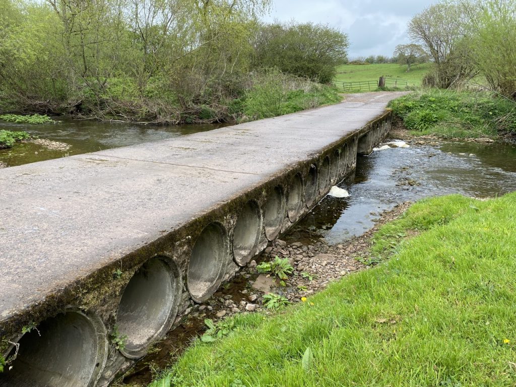
We eventually turned up a grassy path towards the road and our parked car. A couple of turkeys came to have a look who was coming then dashed off ahead of us. Unfortunately it turns out this wasn’t the public footpath and we found ourselves in a private garden. The owner informed us that the public footpath was on the other side of his house. Looking at the map now, we could have stayed beside the beck all the way to Colby Bridge anyway.
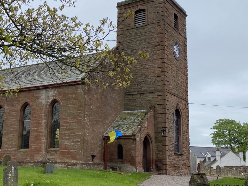
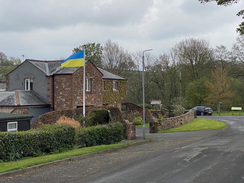
Bits and bobs. This took us along 6.44 miles of the River Eden. There were Ukrainian Flags flying at beginning and end of the walk. We crossed the dismantled railway four times, twice on the walk, at Skygarth and Kirkby Thore and twice while driving between the beginning and end. [EDIT: It later struck me that this number couldn’t be correct. Euler, Königsberg’s bridges, etc. We actually crossed the route of the railway three times on the walk. Twice it was obvious but the third time I didn’t notice since it is hidden beneath a farm track].

