
10.23 miles 5h 36m ascent 430m
Burnhead Bridge-Birger Natvig Road-Robert Watson Road-Torrs Hill-Mykola Lysenko Road-Anette Olsen Road-Caroline Currie Road (I think)-Birger Natvig Road-Burnhead Bridge
This, the longest of our Forrest jaunts, was without doubt the most trying, though not due to the terrain, the weather or my map-reading. The day was warm and mostly dry. When it did rain, on the home stretch, it was light enough that the rain jacket stayed stowed. The day’s objective was Torrs, a wee hill south of the Polmaddy Burn.
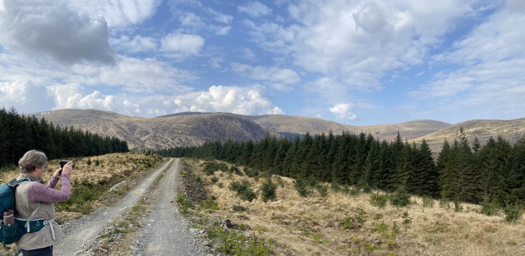
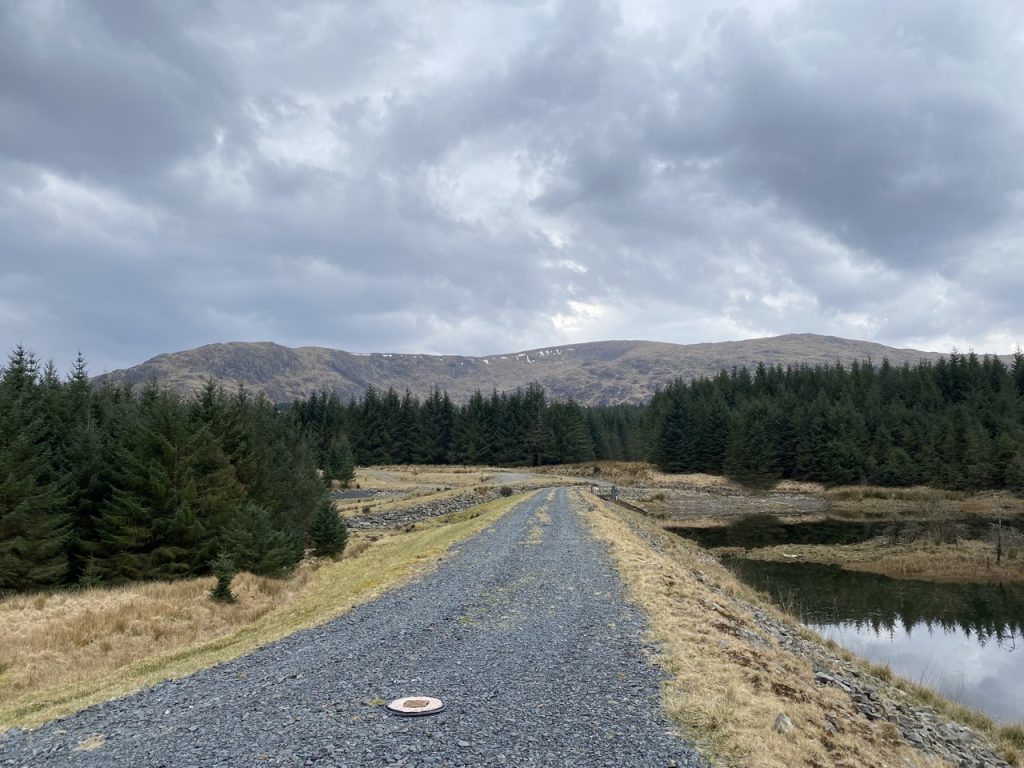
The outward leg was all uphill, but gently so, following Birger Natvig Road with Corserine ahead of us. There was extensive felling and some newly planted forestry at first, but we soon found ourselves walking through mature forest. I can only think that it too will be felled before long. Many of the forestry tracks have been resurfaced presumably in preparation for heavy logging lorries.
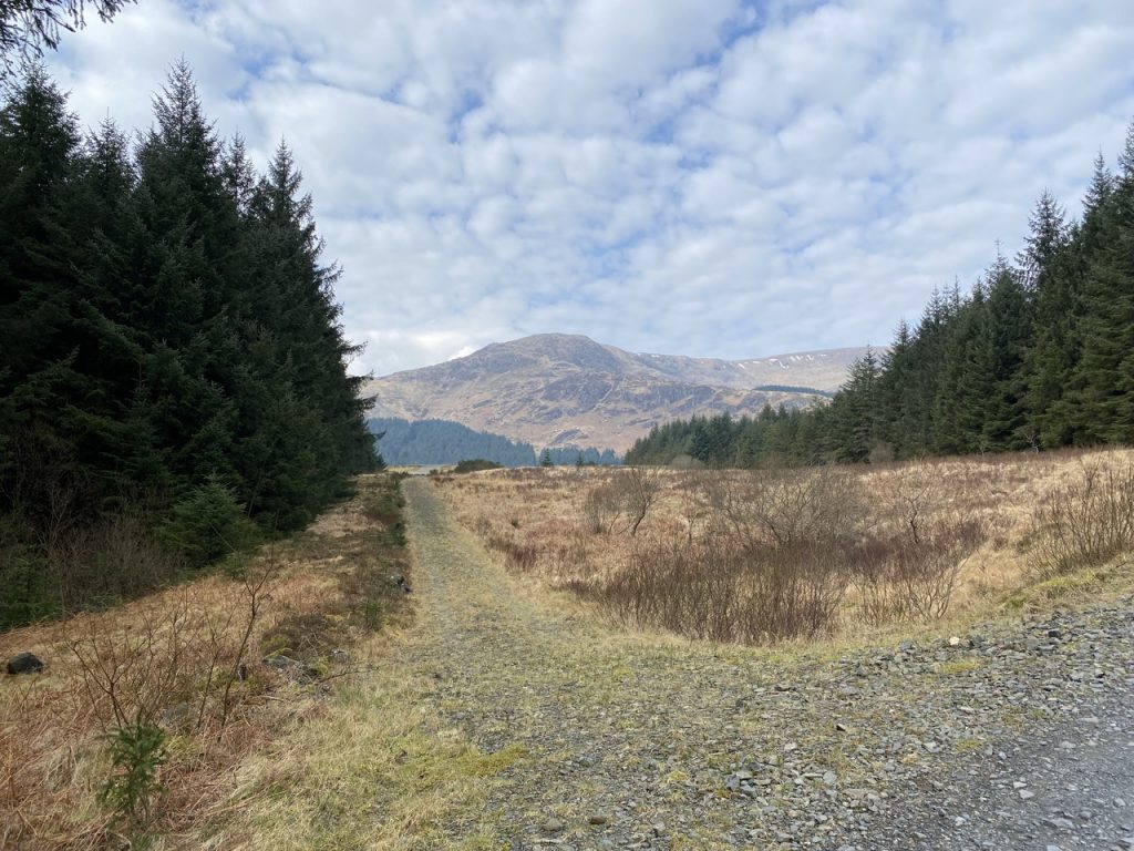
Where Birger Natvig Road turns left for Loch Harrow, we continued onwards to join Robert Watson Road. The track climbs until it reaches the path signposted for Corserine. I remember it being quite wild, little better than a forest break when I trudged along it a few years ago but it has been improved. Today Torrs, not Corserine, was our target so we carried on along the main track with mature trees either side of us.
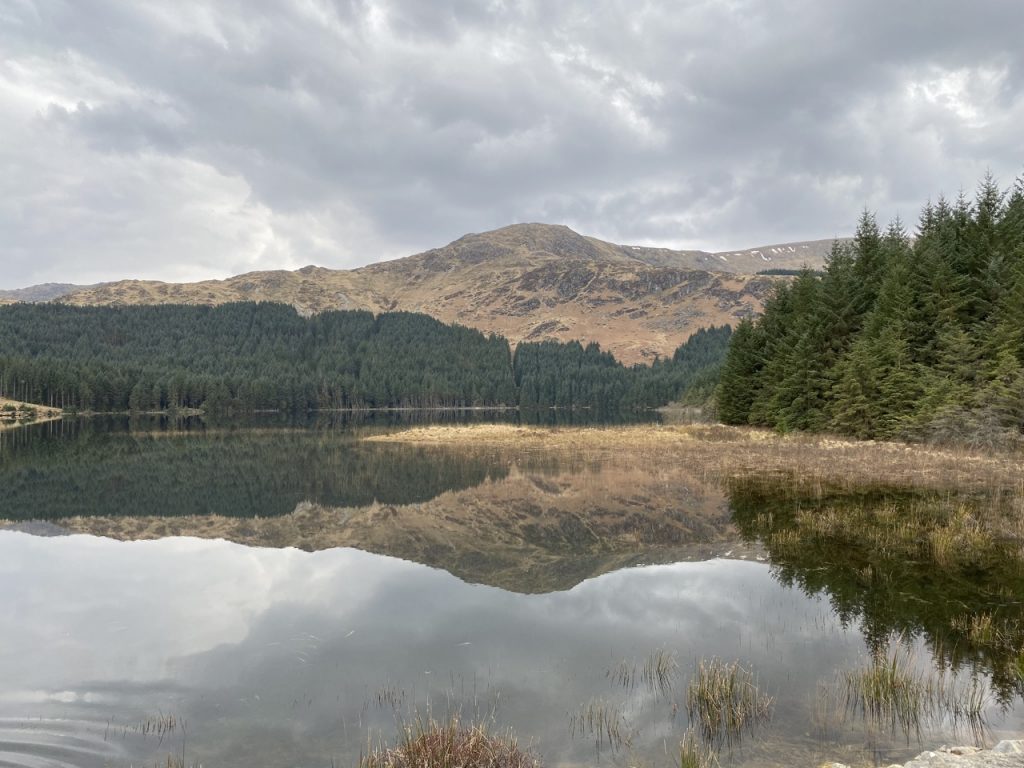
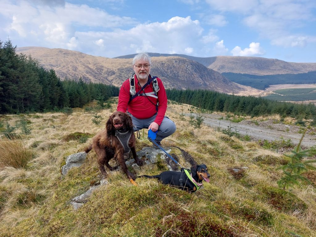
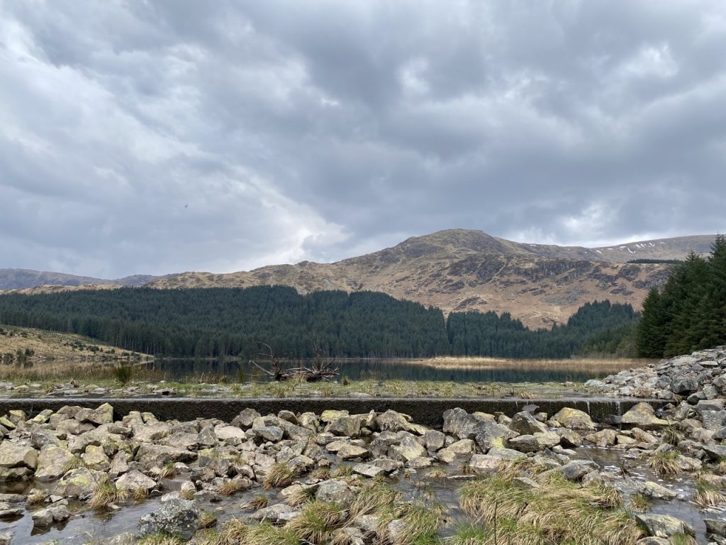
At a flooded quarry we turned right up Torrs Hill. The road up was easy going. It has been revamped and stands well clear of the boggy ground beside it. The OS map shows “Bloody Mires” on the southwest slopes of Torrs which are described as stagnant pools where sheep were sometimes found drowned. I had hoped we would be able to look down onto them but Torrs is heavily forested except at the summit so there were no pools to be seen, other than muddy puddles on the track itself. There were, however, spectacular views of the Rinns of Kells with both the trig point on Corserine and the cairn on Carlin’s Cairn visible.
We posed for our summit photos and would perhaps have had a relaxing lunch, except for Christy of course who doesn’t hold with stopping when out walking. The weather was perfect, the views excellent and there were several boulders to sit on. But it was not to be.
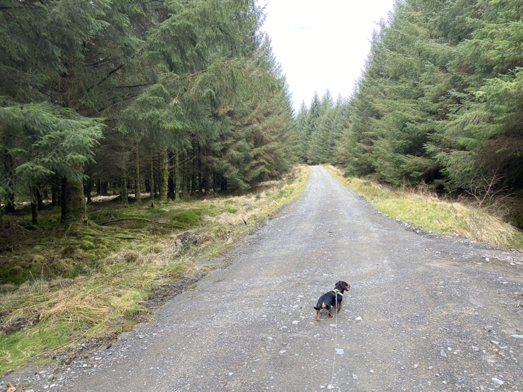
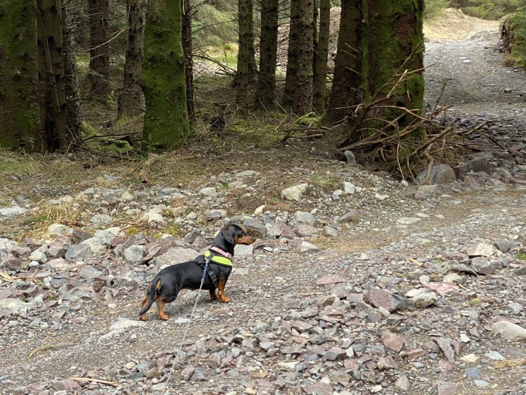
In this, the most remote, part of the walk, Mabel, channelled the spirit of Harry Houdini, shrugged herself free of her harness and ran for the trees. She paused to look me in the eye, ignoring my calls and then, like Keyser Söze, she was gone. We called. She did not return.
The search…
After a few fruitless forays into the forest calling her name, pausing to listen and heading towards the sound of birds calling, I returned to the top to give the situation some thought. If she continued down through the trees she would reach another forest track half a kilometre away. Perhaps she would follow that track? I decided to take Christy down through the trees to that track while Audrey stayed in case Mabel returned. If we didn’t find her we would each take a different route back to the car.
The forest was dense with branches above my waist height. While I fought my way down, calling to Mabel, Christy ran wide circles to the left and right like a canine radar. The ground was boggy in places and the last hundred metres before the track was old fell and would have been very difficult for a very small dog. (No problem for the spaniel though). The forest track was muddy with plenty of deer prints but no smaller paw prints. Still calling, I followed the track back to the top of Torrs. Audrey was still alone. There had been no sign of Mabel. She had now been missing for an hour and a quarter.
Our plan was to head back each of us taking a different route in case Mabel managed to follow a track back to the car. I decided to sit a while longer. I needed some water and a rest before we set off.
And suddenly there she was, ears down, tail between her legs but wagging excitedly. [PS She now has a more secure harness]. I presume she tired of her original chase, or met the deer and thought “OMG it’s gigantic” and realised she was lost. Perhaps she came across the scent trail from Christy and myself and was able to follow that back. Perhaps she was able to retrace her route.
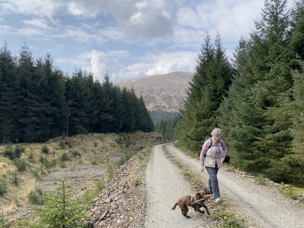
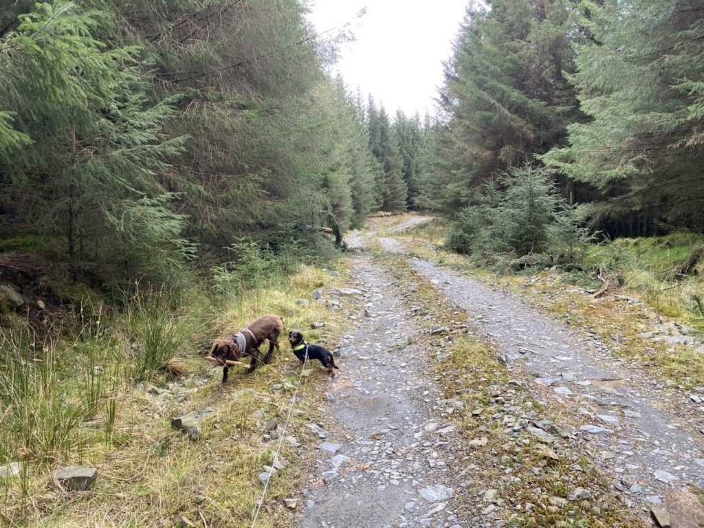
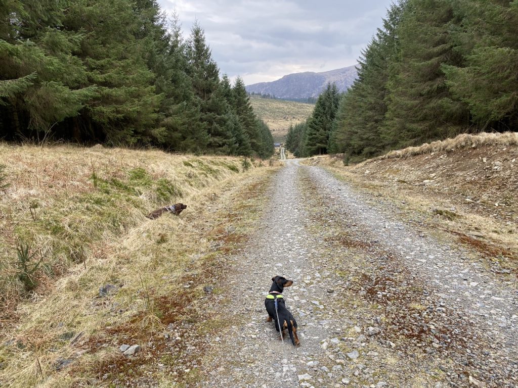
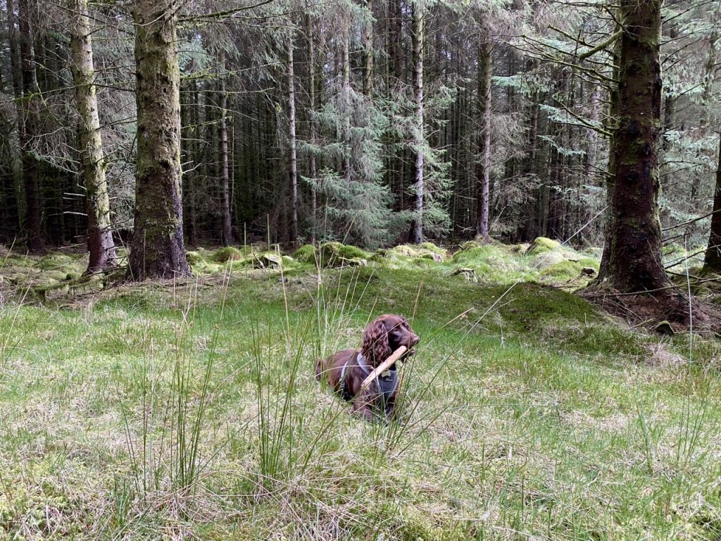
We decided to take a shorter way back, Mykola Lysenko Road to the south of Torrs rather than continuing along Robert Watson Road which would have gone to the north of Torrs. I tightened Mabel’s harness and kept a close eye on her. There was certainly something interesting about because she wanted to go into the trees and often stopped to point into the trees. That said, Christy didn’t seem interested. But he had a stick, and a spaniel with a stick is content.
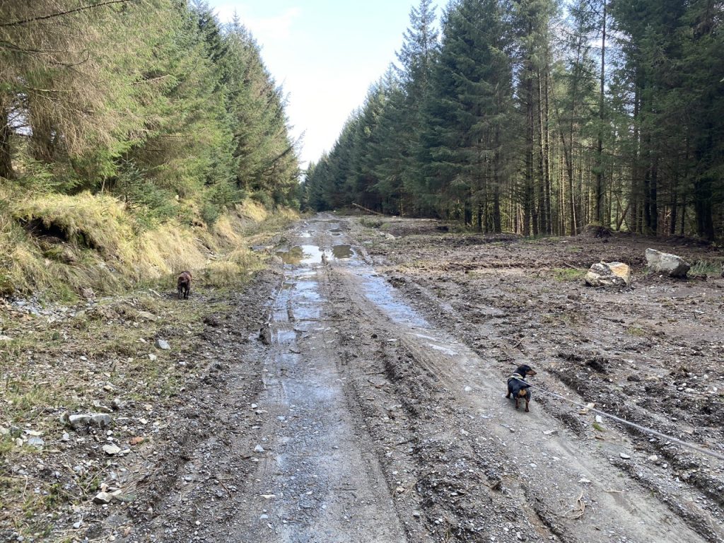
Mykola Lysenko Road south of Torrs has not been renovated and was quite muddy until we reached the resurfaced path that would bring us round to the southern tip of the small reservoir shown on the OS map but unlabelled. This loch must be relatively new. It was not on the 1955 OS map. It is fed by a burn named Lanemannoch, and drained by the Lumford Burn which now has a dam. I think it is Lumford Loch but I have seen it referred to as Loch Mannoch (though Loch Mannoch is several miles to the south), and as Lanemannoch Loch. The burn, Lanemannoch has become Lane Mannoch on the OS maps which I think is an error.
‘Lane’ is Scots for a stream especially where the movement of the water is barely perceptible. This isn’t an accurate description of this stream though so I’m inclined to believe the name should be Lanemannoch. The first element of Lanemannoch could derive from the Gaelic lèana, marsh/meadow’, but is more likely to be from lòin, a small stream. The second element could be the Gaelic manach, monk or meadhonach, meaning middle but also middling. So it would be either ‘monks’ burn’ or ‘middle burn’.
I can not think of any reason why this burn should be associated with monks, nor what monastery they might have been monks of. Kells parish was not appropriated by any monastery. Note, however, that in 1621 Thomas Huttoun was retoured in ‘2 marks of the lands of Mydkermanoche in the parish of Kells’ .
Scotland’s Places
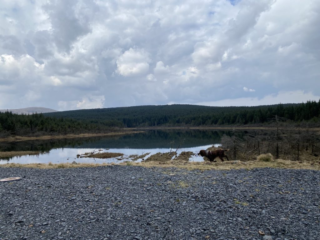
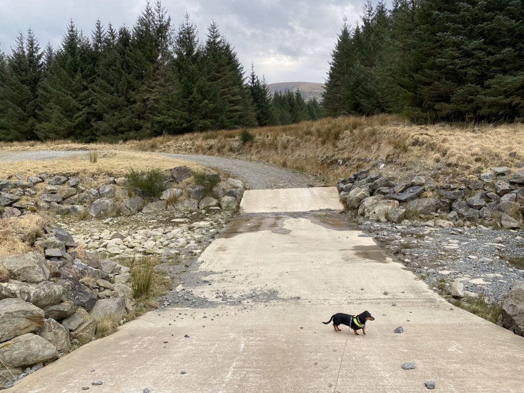
The name aside, it is a strange place with drowned trees still standing in the loch. They were perhaps more obvious because the water level was so low. The track we were following crosses the loch’s outflow and at times of high water it might have been impassable. If that were the case we would have been forced to take a long detour back along the forest tracks or try an off track trek through the forest down to the Forebush Pipeline Road. As it was it was completely dry.
We then walked down Anette Olsen Road, looking down to Loch Harrow beneath us. There were several manhole covers labelled “Traffic signals street lighting”. Presumably these are access ports for the pipeline running from Lumford Loch to Loch Harrow.
We decided not to go all the way down to the boathouse at Loch Harrow but instead went along to its dam. I think there might be a short path joining the boathouse and the dam but I wasn’t in the mood to walk 30m down to the boathouse and finding there was no path. About 300m further back down Robert Watson Road there is a path to Loch Harrow. The outflow was not completely dry but could have been crossed without too much effort. I actually walked onto the rocky watercourse to get photos of the loch.
The remainder of the walk was back along the track past Forebush. I think Mabel’s escapade had sapped our energy. Even Christy seemed affected, there was no dropping of the stick in our path or running through the tree stumps. And the rain started as we passed Forebush. But four set out and four came back so it was a successful walk.
Our four outings to Forrest estate had taken us along more than thirty miles of forestry track, we climbed two tumps, visited four lochs, read the poems on two memorials, and saw a brightly coloured figurehead that had been recovered from a Norwegian fjord. And all with the Rinns of Kells as a backdrop. Well worth the visits.
[sgpx gpx=https://www.screel.co.uk/walks/wp-content/uploads/2022/03/RK_gpx-_2022-03-29_1021.gpx]
