
9.35 miles 6h 44m 376m ascent
Grangemill to Thorpe
A day of gentle ups and modest downs in pleasant sunshine, taking us from a land of drystone dykes to one of hawthorn hedgerows. My first draft, and second and third, for this write up were very much “we crossed a field, and then another field, then a road, and then another field, and a road, and then a field, and another…”. So I’ve tried again…
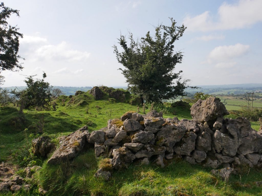
The Limestone Way climbs a grassy slope out of Grangemill on a track at first well worn but giving way to grass long enough to swish audibly as we walked. The breeze on my arms raised goosebumps but patches of blue sky hinted at warm sunshine to come. This climb took us across the High Peak Trail and over the highest point of the day’s walk (353m).
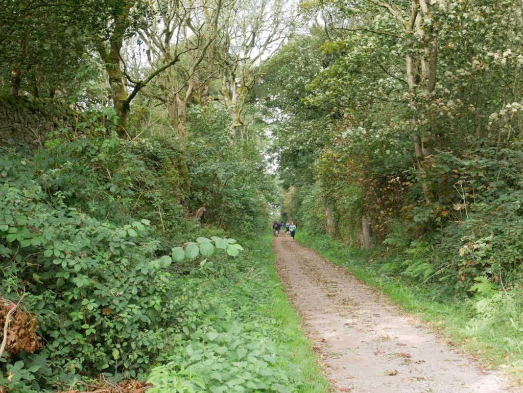
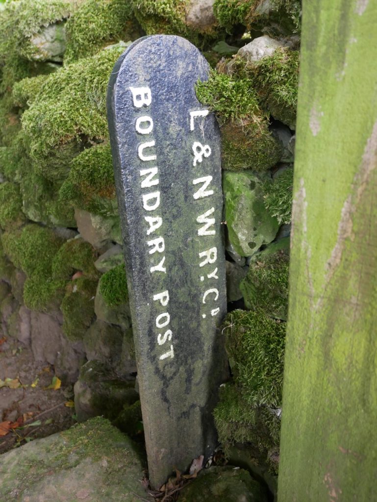
The High Peak Trail crosses the hill in a deep railway cutting and we didn’t realise how busy it was with cyclists and runners until we climbed down into it. This had been the Cromford and High Peak Railway Line but for some reason a restored L&NWR boundary post stands there now. The line has been repurposed as 16 miles of cycleway.
A few more fields and a minor road brought us over the next wee hill, unnamed with a spot height of 333m on the OS 50k, or 327m on the 25K. Watched by bored sheep, we wondered what a brick built structure on a nearby rise might be (I still don’t know) and mused as to why half a bra hung from a fence post in such a remote place. A fallen waymarker post was confirmation we were on the Limestone Way but we couldn’t rely on it for directions. The uneven ground we recognised as evidence of lead mining.
The day was now noticeably warmer, the clouds having given way to sunshine. We joined a narrow overgrown lane and made our way downhill. We stepped aside as red-faced mountain bikers passed us, cycling uphill. Brambles and elderberries brushed temptingly against my fingers but the nettles soon wiped the smile off my face.
At Pasture Lane, a minor road, we walked by Rainster Rocks, an outcrop of dolomite limestone. The fields below the outcrop seemed striped. Mown grass was my first thought but as we drew closer we saw that the ground was actually furrowed, and probably a remnant of an ancient field system. The area beneath Rainster Rocks was settled in Roman times and probably much earlier. As well as farming, these settlements have shown evidence of lead smelting. Which, of course, had to leave me wondering if these ancient Britons suffered Saturnine gout.
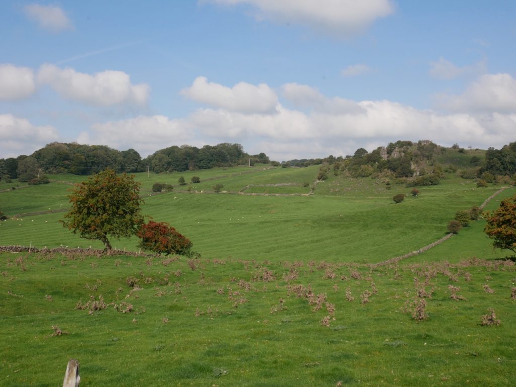
Rainster Rocks
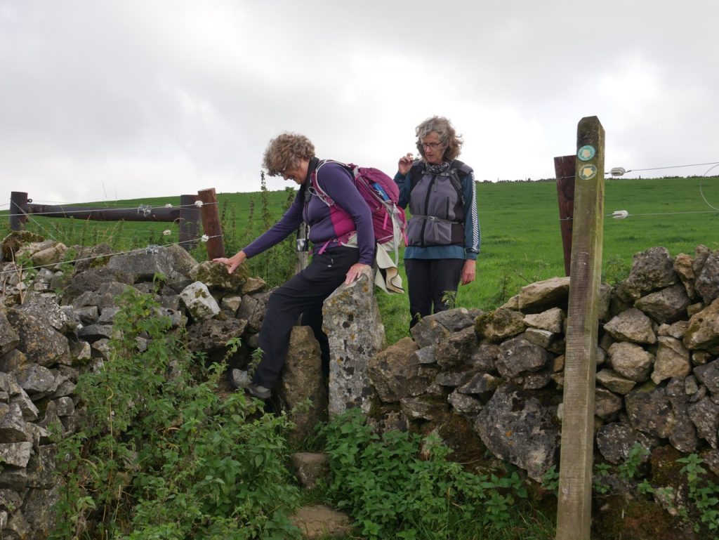
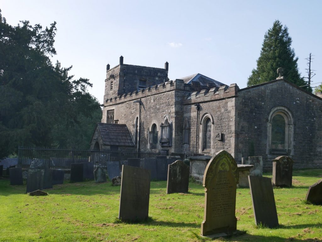
From the B5056, we followed the path up a wee rise where a boulder in the shade of a large hawthorn was just the ticket for a rest break. The OSmap shows the path continuing on to Cow Close Farm while the Limestone Way forks off to the left, but there was neither a discernible path nor signage where we might have expected the fork. A small church at the bottom of the slope was the clue, the LW walker’s guide told us we should pass to the right of it. The only other signs that a route had gone this way were a stone squeeze gap and a stile, each standing alone in the field.
The church is All Saints of Ballidon. A notice told us the building was maintained by the Friends of Friendless Churches and invited us to take a look inside. I was particularly interested in the calligraphy hung on its walls. A lost memory resurfaced and I realised the letter “c” was in its older form, looking very much like an “r” to a modern eye. So what appeared to be “rovit” was actually “covet”. [A bit off-piste, but when I looked up the etymology of covet, Google served up “Etymology of Thoracic Viscera” on the first page. I’m not sure why but I couldn’t resist the click. Most I knew, courtesy of school Latin and Anatomy lectures, but I had not realised azygous meant unpaired.] After musing on calligraphy, church architecture and the prohibition of graven images, we returned to temporal matters and got back to our walk.
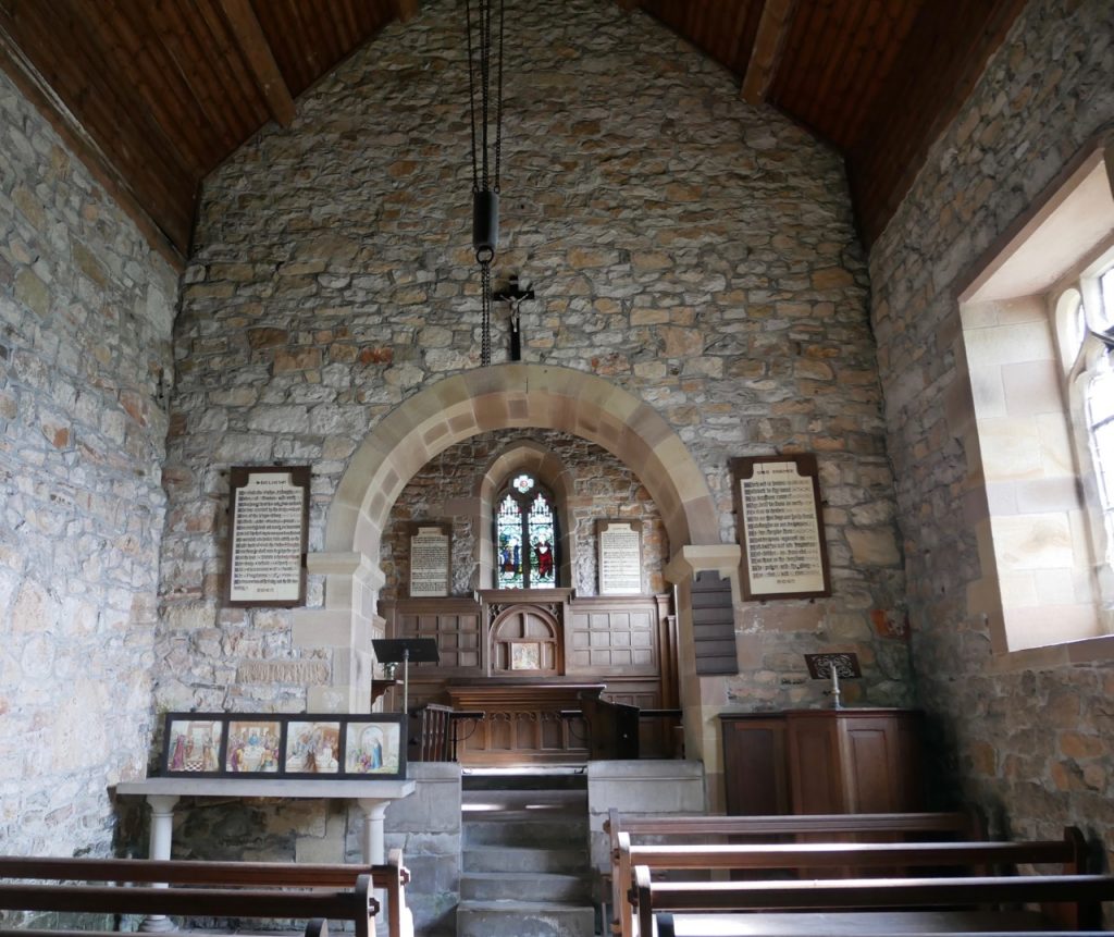
All Saint’s Church
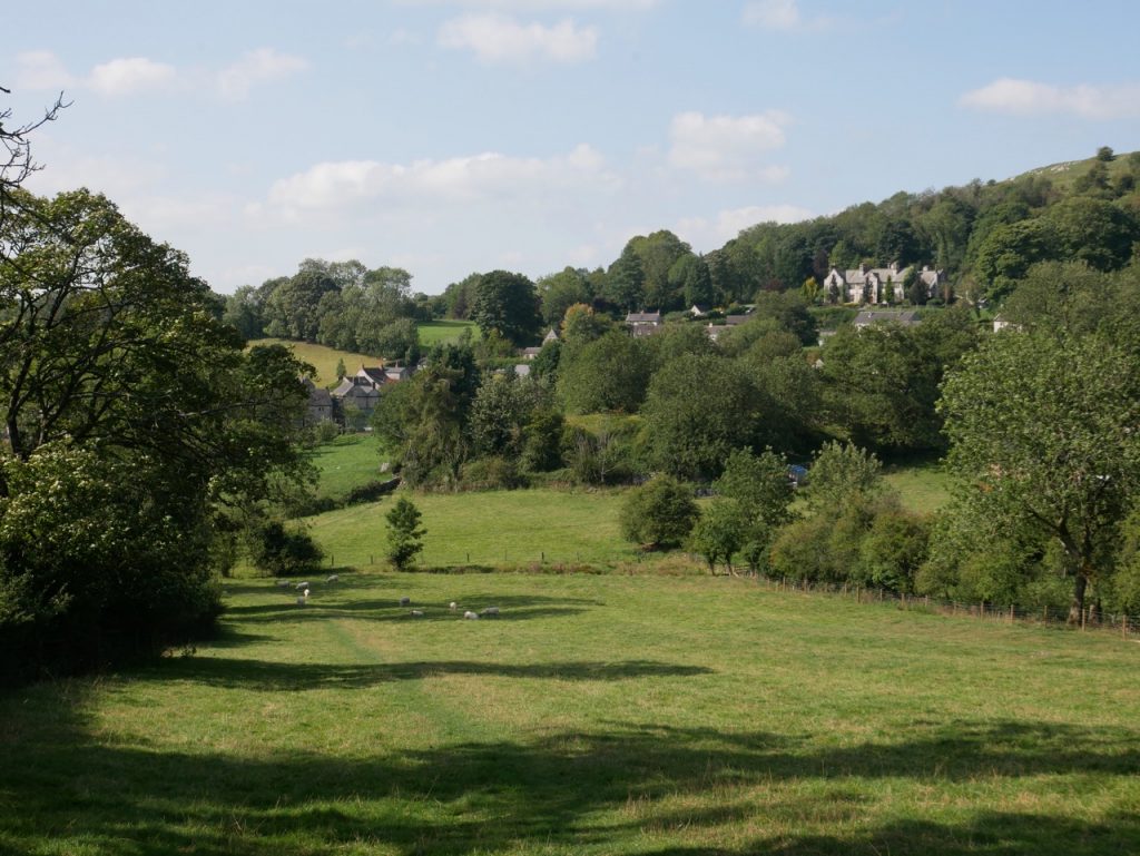
Beyond Ballidon the countryside changed. Leafy hedgerows rather than limestone dykes enclosed the fields. The gorge like dales of the previous days gave way to broad shallow valleys. And we found streams crossing our path. I also thought the stone squeeze gaps were becoming narrower, one eventually snagged my boot.
We had lunch on Parwich village green, shaded by a massive copper beech. I sat, relaxed, and looked up to find the beech completely green beneath its copper canopy. I had not realised they were only copper facing outwards. You learn something every day. None of us could identify the other tree on the green. Its leaves looked oak-ish but were pointy…a red oak I think.
Parwich
Parwich takes its name from pever which is likely a Celtic name for its stream and wic, a farm, of Saxon origin. It is in the Domesday Book: “In Pevrewic are 2 carucates of land to the geld. There is land for two ploughs. It is waste”. I don’t know about the amount of land for ploughs now but it is no longer waste. The village is a pretty collection of limestone houses with a typical parish church, St Peter’s rebuilt in Victorian times.
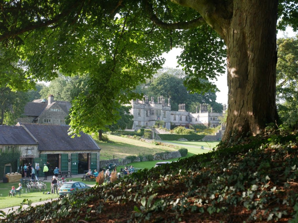
After lunch we set off for Tissington, the route taking us across Bletch Brook then the Tissington Trail. We were tempted by the shop near Tissington Hall. Would it have ice-cream? But it looked too busy, so we stayed away.
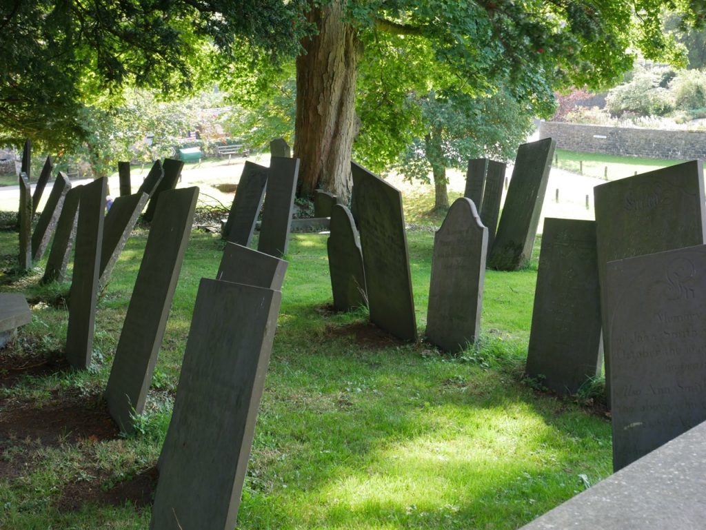
St Mary’s Church, like many we had seen, had been renovated in Victorian times but still retained a ‘Norman’ look. It was locked but there were some interesting features to see outside. Grooves on its doorway are said to be from archers sharpening their arrows. A sundial on the church wall showed the correct time (in GMT) and there were gravestones dating back to the seventeenth century. I was particularly interested to see the thin slate gravestones. Not something I have noticed before. They were hardly weathered and from a distance I had thought they were new, but no, many dated from the eighteenth century.
Lime trees lining the avenue leading from Tissington are older than they look. From their size I had guessed they dated from WW2 whereas, in fact, they are over 200 years old. The youthful looking trees brought us to the busiest road we had met on the Limestone Way, the A515. Washbrook Lane, directly across the road, would have taken us into Thorpe, but the Limestone Way left the road to cut across fields, the road again, a caravan park where the smell of cooking had my mouth watering, and more fields. When the distinctive Thorpe Cloud appeared ahead, we knew we were close to Thorpe itself.
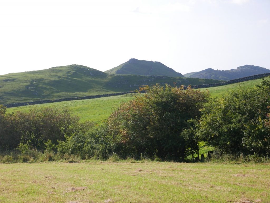
Thorpe Cloud
Just a few more stone gaps and a rifle range and we walked into Thorpe, me popping a newly picked sloe into my mouth. Another learning experience.
The day had taken us from a land of drystone dykes to one of hawthorn hedgerows. Despite the cool start, most of the day had been in warm sunshine and we had found seats for each of our breaks. A good day’s walking.
[sgpx gpx=https://www.screel.co.uk/walks/wp-content/uploads/2020/09/RK_gpx-_2020-09-19_1002.gpx]
