8.68 miles 4h 43m ascent 219m
Colby-Sandford
We had finished the last section a little way off the Eden Way. The closest parking had been where Colby Bridge crosses Hoff Beck, half a mile off the Way. Luckily, a public right of way runs alongside the beck between the Eden Way and where the car was parked. Unfortunately, it was not obvious how we should reach it.
A gate led to the right of way but it was not easily opened and the route beyond was overgrown with brambles. Another few paces and it was impassable. But the fates smiled on us. A woman appeared from the house beside us and told us how to reach the path. We walked through her back garden (with her permission) to a farm gate with a yellow right-of-way plaque. I imagine the original right of way had been altered at some time.
This had us in small fields separated by easily opened farm gates. but we soon met our next challenge. A sheep, trying to get into our field had become stuck in a hole in the fence. We agreed that we wouldn’t be able to extricate it ourselves, so our walk was paused while we found the farmer. I held the dogs and Audrey went knocking on doors and found him at the second house.
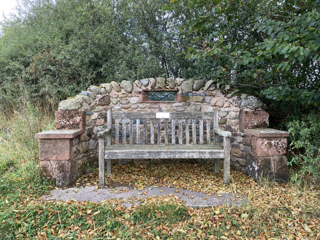
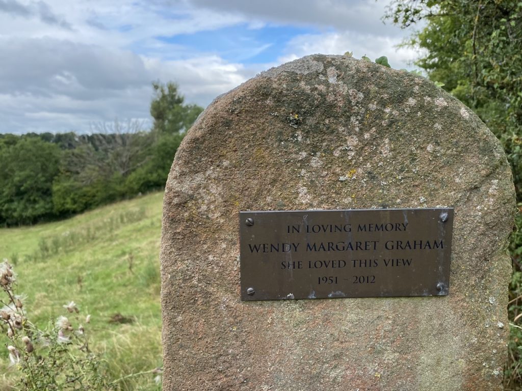
Excitement over, we crossed the wee bridge over Colby Beck and rejoined the official Eden Way. There was chicory growing beside the track but our eyes were soon turned towards a very impressive memorial bench at the lip of Limekiln Hill. There was even a memorial to the view.
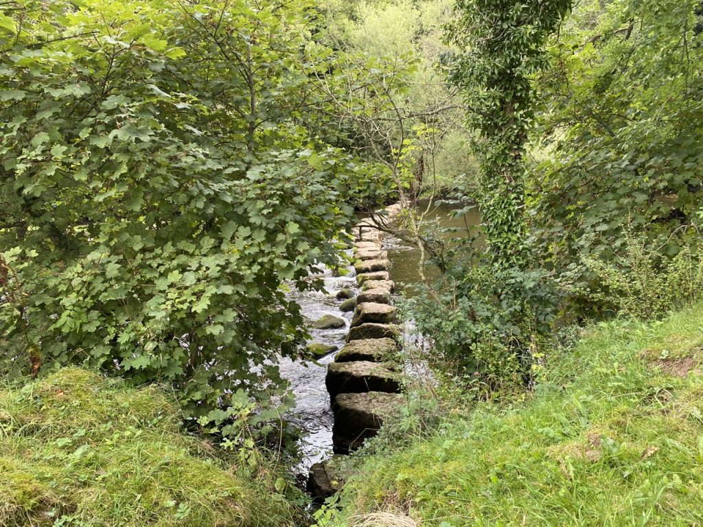
A finger post marks where the Eden Way leaves the farm track, a little way before the farm buildings. The finger post is described as becoming lost in the hedgerow, but we knew to expect it so found it alright. We had decided, though, to walk on through the farm to the river’s stepping stones. I intended to cross the river if the stones looked easy enough. The fourth stone put me off though. It had an uneven slanted top.
Do I hear you clucking at me? Well bear in mind that I would be carrying Mabel. She isn’t heavy but does squirm and would compromise my balance. So we turned back to the Eden Way.
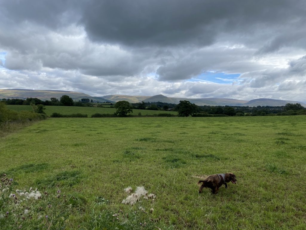
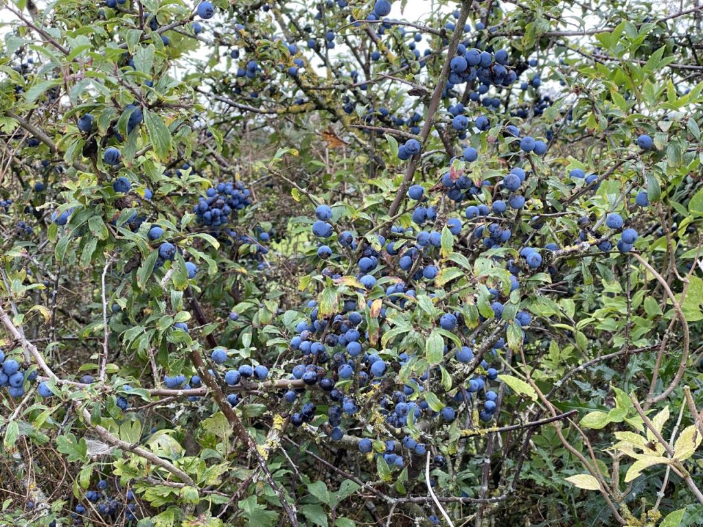
The hidden fingerpost pointed along another farm track, with easy walking. The autumnal hedgerows had more berries than flowers and tempting as they were I didn’t make the mistake of tasting the sloes this year. Once the track ended we were out into open fields with views of Dufton Pike, the conical hill, with the pennine whale-backs behind it.
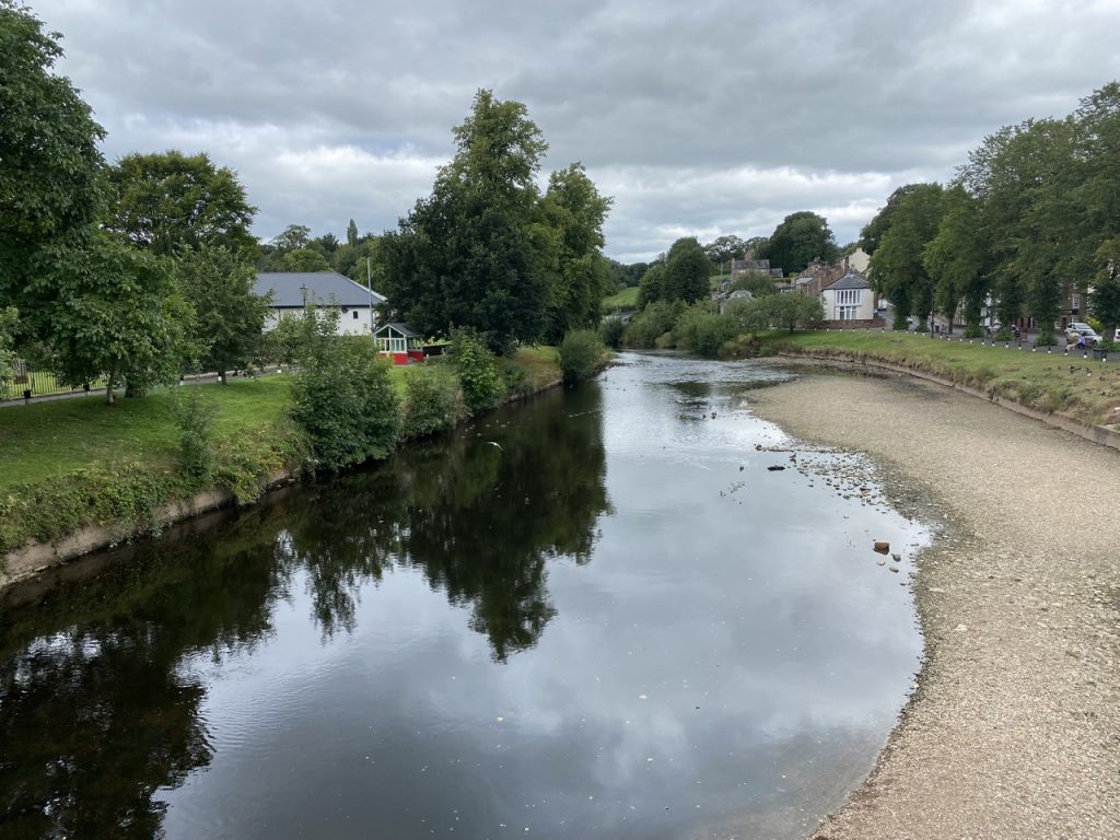
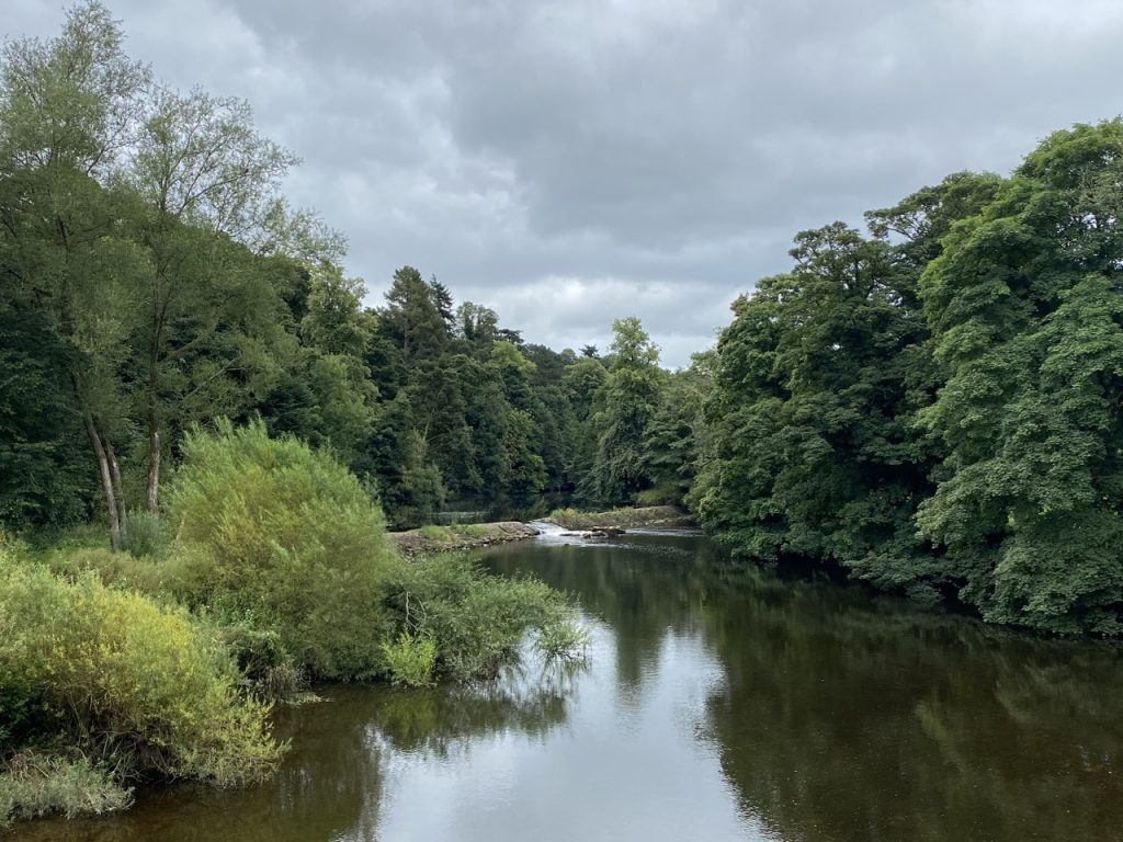
The River Eden, though close by, was out of sight for much of this walk but we did get a brief glimpse through the trees as we approached Appleby. We ran out of track and were walking in the grazed grass beside the woodland as we approached Appleby. As the houses on the outskirts of the town grew closer I couldn’t see how we were to get by them. But there is a gate skulking in the corner of the field. That allowed us through to a tarmac path running between the woodland and houses. There are several benches but not much of a view from any of them. The path comes into Appleby at Holme Street.
Appleby was the county seat of Westmorland for several centuries until the 1974 local government re-organisations abolished the county. The town had been named Appleby up until then, but after 1974 the local council changed its name to Appleby-in-Westmorland in order to preserve the name of Westmorland.
Our walk through town took us along the strangely named Low Wiend. There is also a High Wiend. Presumably this is a variation of the Scottish wynd, a narrow winding alley, but whether it rhymes with find, as it does in Scotland, or fiend, I don’t know.
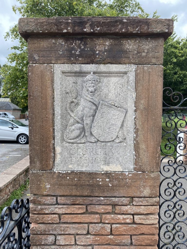
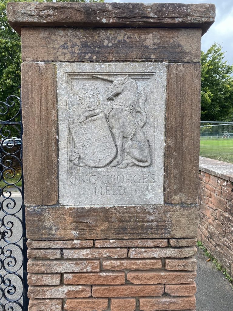
The gateposts near the cricket club had inlay:. a lion, inscribed GEORGE V AD 1910-1936, and a unicorn, inscribed KING GEORGE’S FIELD. I’d forgotten that it told us which King George was memorialised and set about finding out. I was astounded to find that there are 486 King George V Fields in the UK. I’d forgotten that I live only a half a mile from one such field.
Following the king’s death in 1936, a committee was set up to find some form of national memorial other than a statue. The outcome was a project to provide playing fields around the country for the use and enjoyment of the people. These would be styled ‘King George’s Field’ and to be distinguished by heraldic panels or other appropriate tablet medallion or inscription commemorative of His Late Majesty and of a design approved by the Administrative Council. I have never looked for heraldic plaques at my local field, but I must do that sometime.
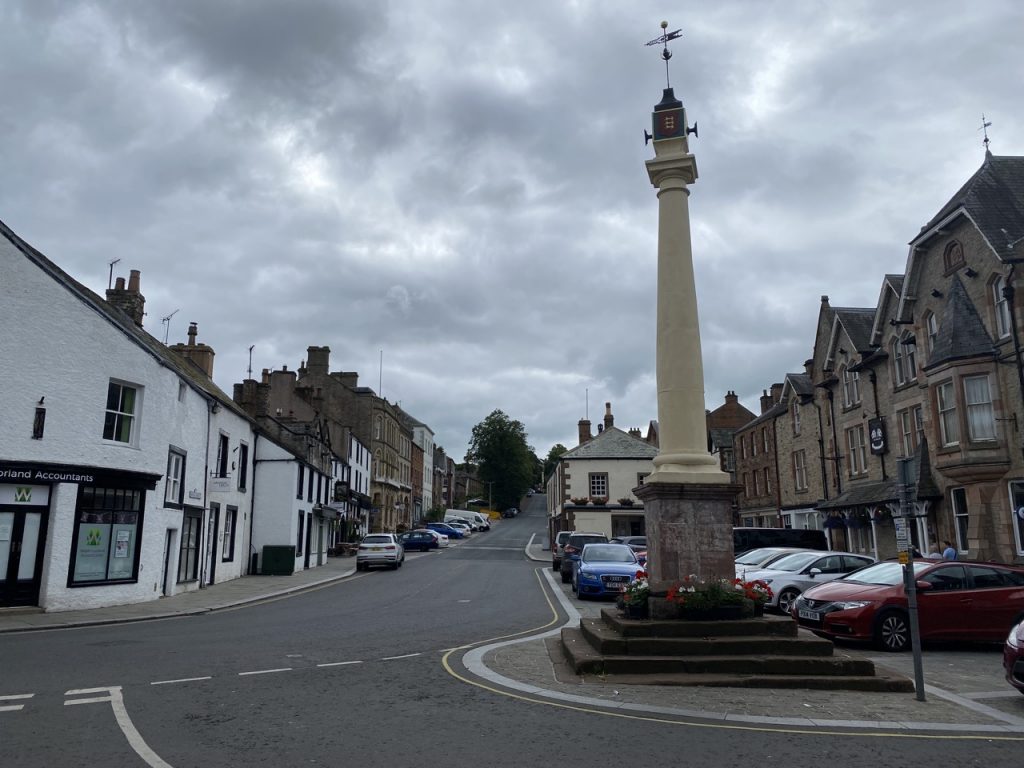
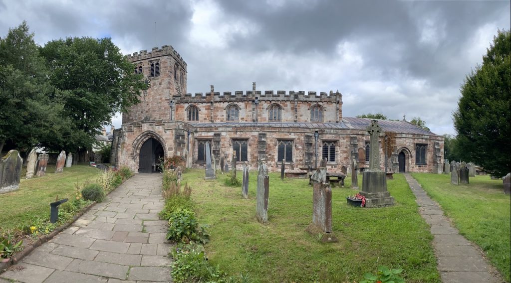
Our stroll through Appleby took us across the bottom of Boroughgate where the Crown and Cushion pub (which struck me as an unusual name) stands by the Low Cross, which once marked the boundary of where a market could be held. We had driven past the high Cross at the top of the street earlier that morning. The cloisters at St Lawrence’s Church are described as being particularly beautiful but were obscured by builders fences. The church itself is a pretty building with parts dating from 1150.
The road bridge over the Eden has pedestrian nooks, giving it the air of a much older bridge but these are stylistic since it has pavements on both sides. It was built in 1889. Once over the bridge we turned right and had a half mile of pavement walking, uphill, along the B6542. The Royal Oak pub was tempting but we had our sandwiches.
A plaque on what looked like a methodist chapel read Oddfellows M.U. Hall and had us wondering what the MU stood for. Audrey guessed Miner’s Union, incorrect as it turns out but it sounded plausible and I didn’t have a better guess. Read on for the answer…
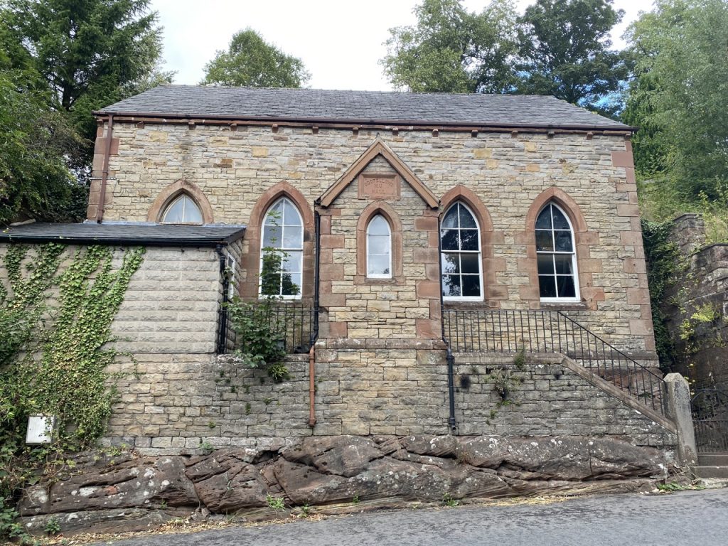
The former Primitive Methodist Chapel built in 1872 became after a number of intermediary uses the Kingdom Hall of the Jehovah Witnesses in 1995. It is a single storey structure of limestone with sandstone dressings in a gothic style. An ashlar panel in the gable is inscribed ‘Oddfellows M.U. Hall’ dating from its use as a lodge for the Manchester Unity of Oddfellows in 1936
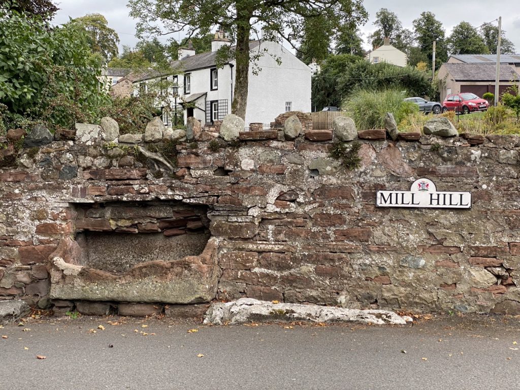
At St Michael’s Church we turned down Mill Hill and back to the river. The church, which is now in private hands, looks quite neat from the main road but seen from Mill Hill it looks to need some care. And a gardener. The war memorial outside the church could easily pass as one of the great many from WW1 but actually dates to the Boer War.
At the river, there was a stone information board with details about the area. It explained that Bongate, where we were, was the area where Bondsmen lived in feudal times but is now a conservation area. It asked us to “Stop, look and listen”. And so we did.
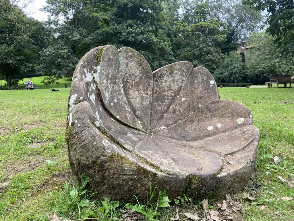
It was time for our lunching for once we were spoilt for choice with both a park bench and picnic table. We chose the latter. I wasn’t expecting to find the next Eden Benchmark here. For some reason I thought it was on the other bank. So at first I took the large rock sitting a few paces from the picnic bench for a boulder, then noticed it was carved on its far side. An interesting mistake given the official blurb…
Shaped from a nine ton block of St Bees Sandstone, the Primrose Stone magnifies the ‘inscape’ of the much loved first rose of spring. As you approach the sculpture from behind it looks like a rough erratic boulder and the carved petals of the flower at the front come as a surprise. It envelops the sitter in a bowl shape that is positively seductive and, like a primeval satellite dish, amplifies the sights, sounds and smells of the river. The artist is Joss Smith.
I presume it was placed to be seen from the footbridge, or the far bank, but the riverside willows have grown tall since it was placed there and hide it.
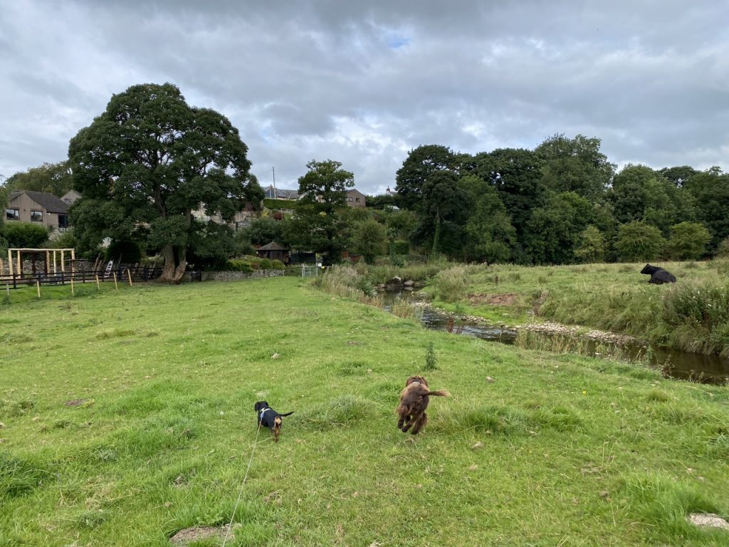
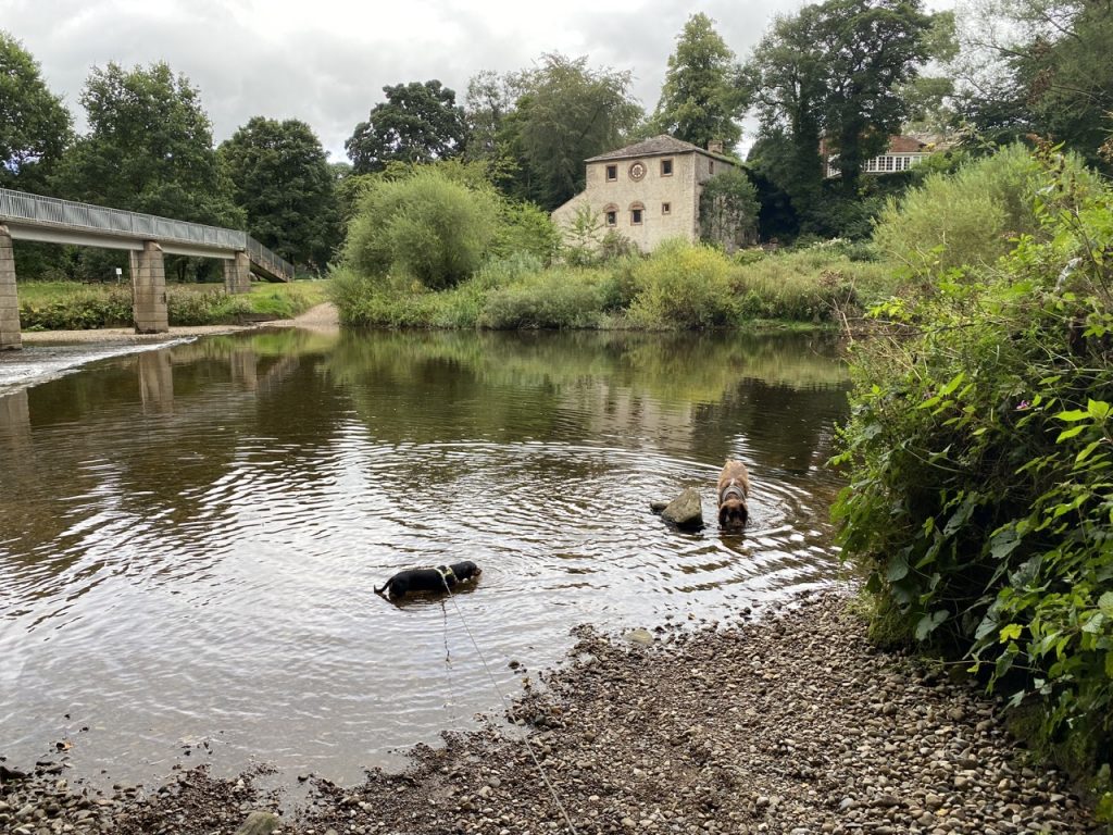
The Old Mill and weir are still there. The ford that predated the footbridge looked passable, the water low enough that it would have been crossed with dry knees. The dogs walked onto it for a drink of water but we kept our feet dry..
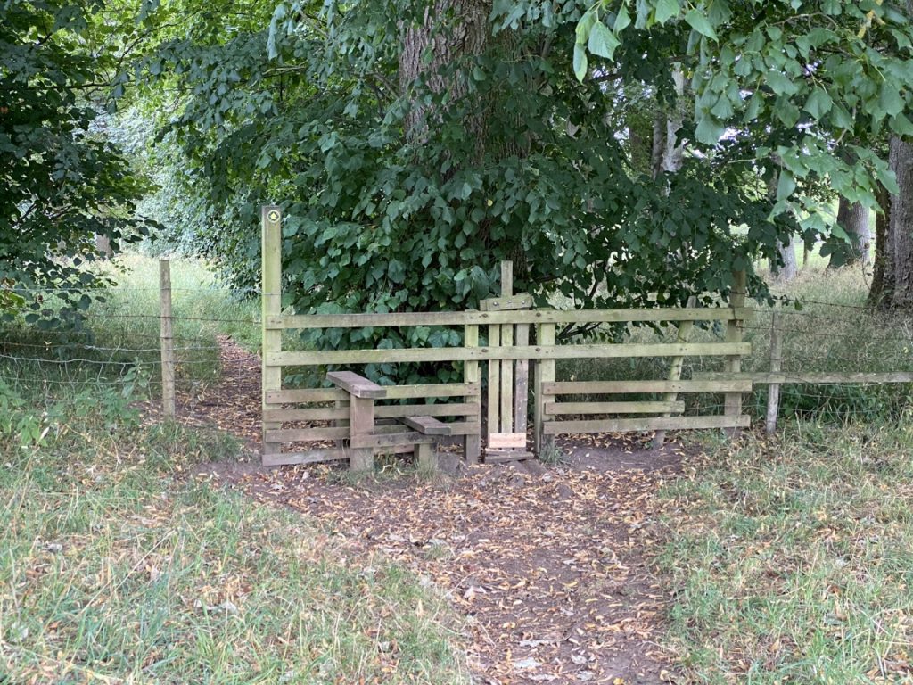
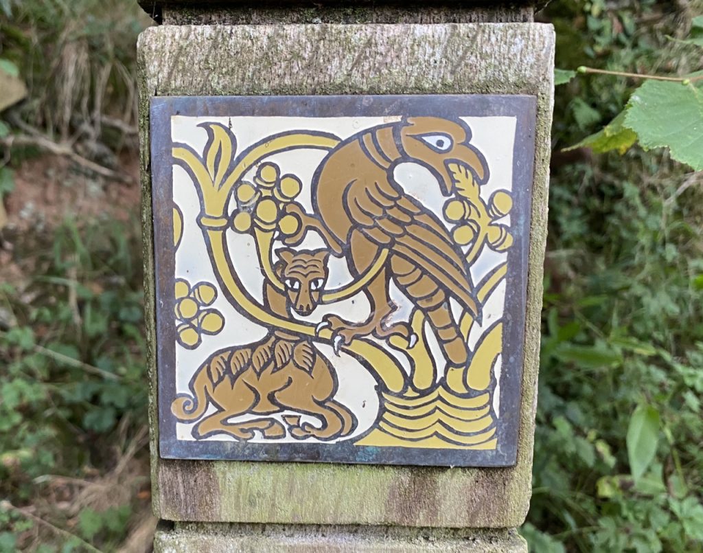
The next mile and a half was a mixture of parkland, grazing fields and riverside woods. The path was eroded in places and looked as if it could be slippery when wet. I slipped once even though it was dry. In one short section I had to walk with my hands above my head as we were corralled between a barbed-wire fence and crowds of tall nettles. But overall the going was easy and the stiles deserved an award: well maintained and equipped with dog gates. We found the wooden stairs mentioned by the guidebook and even came across one of the Pip Hall ceramics. It’s been quite a while since we last saw one of these. I’m really not sure what it depicts, a bird of prey and an animal with a long neck and hooves, a deer perhaps?
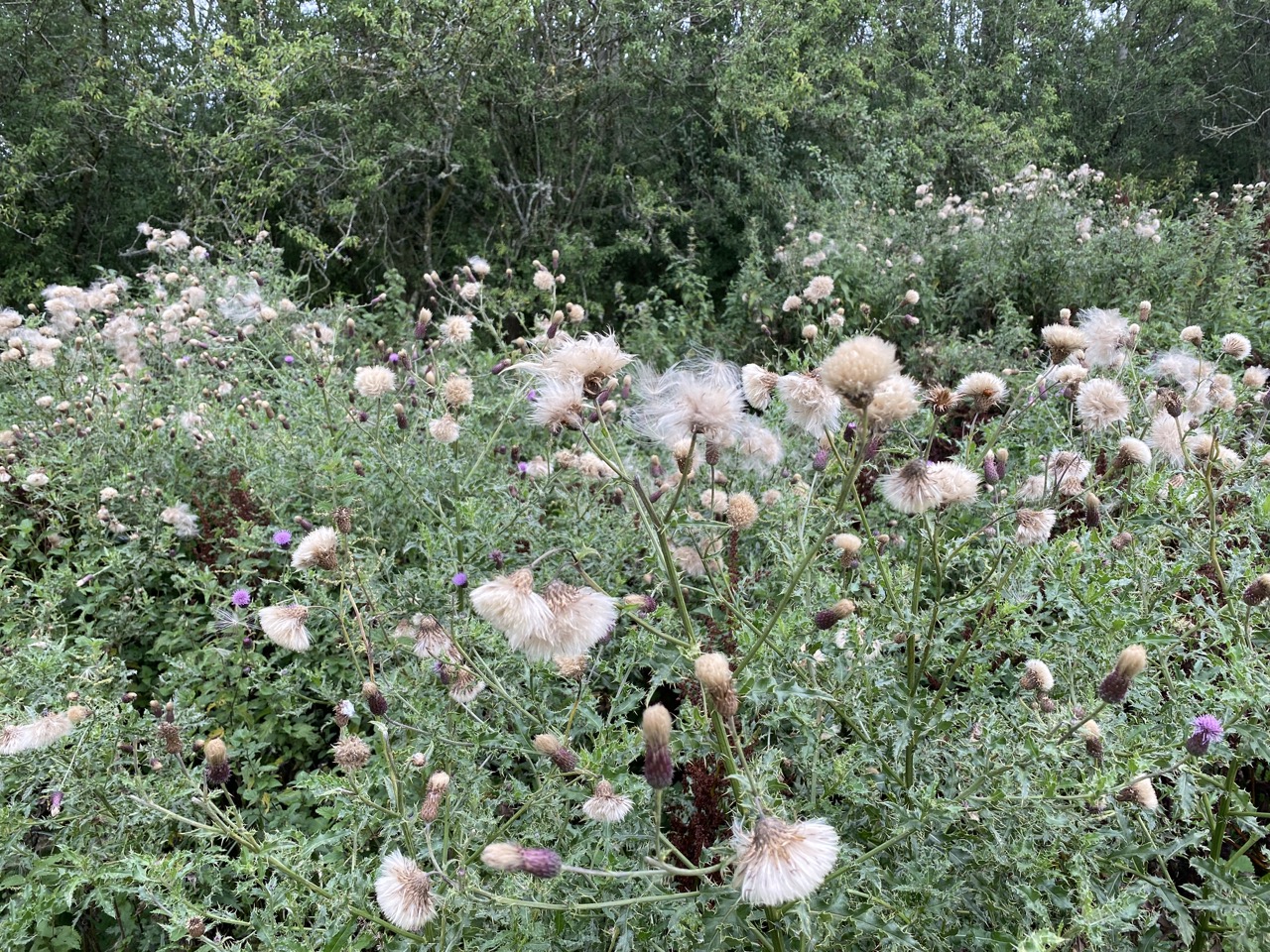
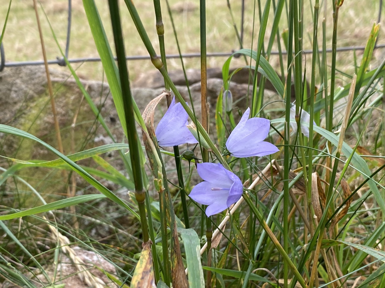
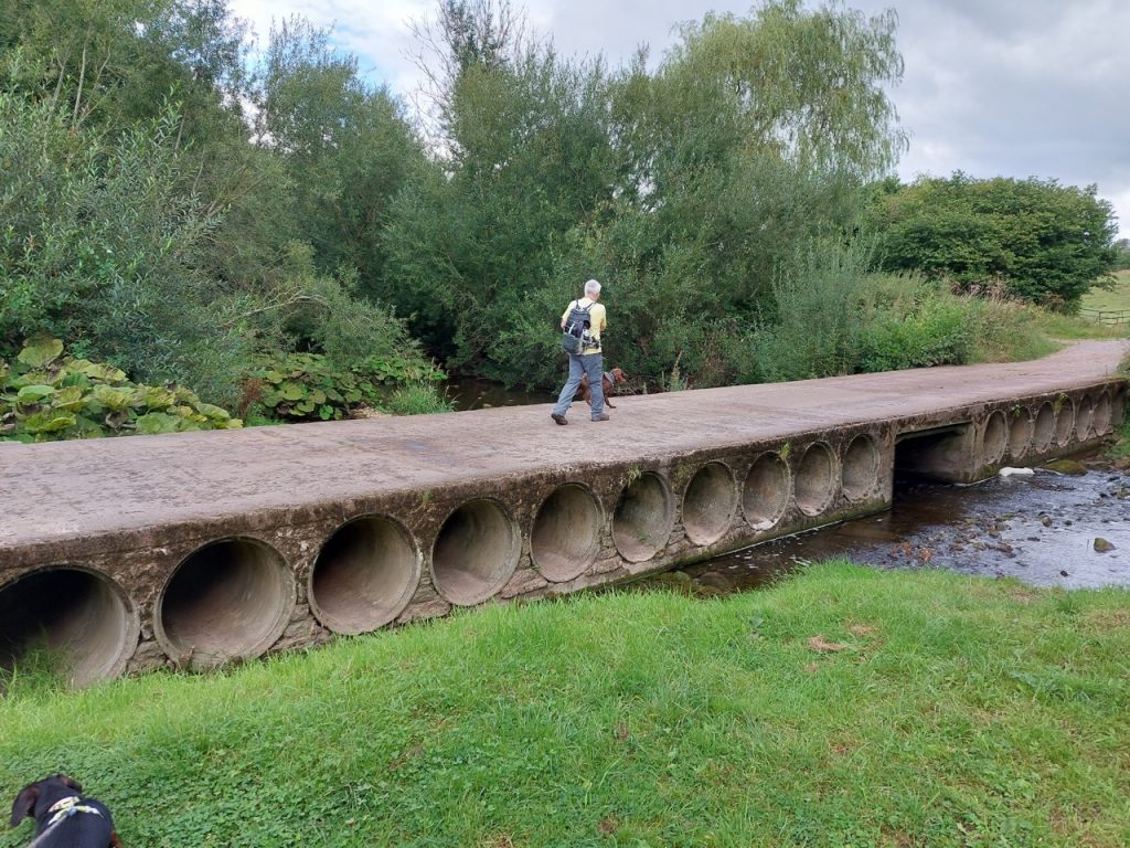
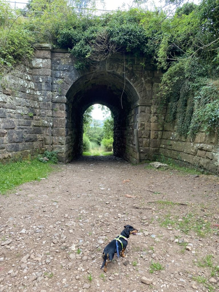
The path became a little overgrown as we approached the railway but there were hare-bells to admire and meadow thistles their flowers transformed into shaving brushes. and there was a substantial ladder stile. The gate beside it, though, was ajar. Indeed it looked to have stood open for some time. The wee archway beneath the Settle to Carlisle railway line is the gloriously over named Ormside Hall Underline Bridge.
Great Ormside is only a 5 minute walk from the railway line but it took us ten minutes because the railway line appeared to be the boundary between the ‘premier’ and ‘rustic’ stiles. And we had to cross fields with cows. I’ve noticed that I take fewer photographs in these circumstances.
There is a small ginnel between the houses that gives access to the road, but it wasn’t obvious until we reached it. Arthur, a large black dog in an adjoining garden, was working hard for his guard-dog badge, and Mabel, probably one tenth of his size, felt obliged the answer back until he was out of sight.
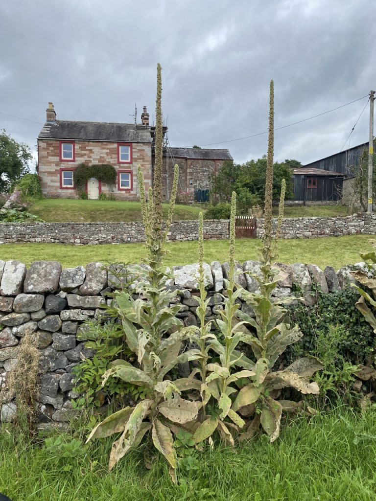
Ormside means ‘Orm’s hill or headland’. Ormr in Old Norse meant snake but it was also a common personal name. Older spellings of Ormside, such as Ormeshouad show that the hēafod has evolved into ‘side’. We saw neither snakes nor hills but there were several unusual large flowers, mullein we think, and one large farmhouse proclaimed it had been built in 1687. [Newton’s Principia was published that year, James II was the king – but would be deposed the following year].
As we walked out of Great Ormside I noticed a disturbance in the force. I was asked why we had not stopped for a drink of water/rest as we had planned to do in Ormside. An easy misunderstanding. Our planned rehydration stop was in Little Ormside, only half a kilometre away.
But what a half kilometre it was. I think we had eight gates or stiles to cross. The fields had cows, and a bull. And the bovines always congregated around the stiles. There were no easy dog gates here and any gaps under the stiles had been well blocked. We hoped for a bench in Little Ormside, fools as we were, but we had to drink our water standing up.
The farm track out of Little Ormside shares part of its route with Greenber Sike which is an unusual set-up, but it was easy enough to step over it. There seemed to be an inordinate amount of uphill once the track ended as we climbed up the grass behind Tricklebank Woods. But eventually we headed back downhill on a very overgrown path and through Blacksyke Farm. The farm gate was tied shut with a complex knot. It would have been easy enough for us (humans) to wiggle round the edge of it but the dogs would have had to be lifted over. Luckily a lady emerged from the farmhouse and untied it for us.
At Sandford bridge we left the Eden Way to walk, uphill again, to the car. The closest we had managed to park was nearly half a mile away the roads here all being single track.
[sgpx gpx=https://www.screel.co.uk/walks/wp-content/uploads/2022/08/RK_gpx-_2022-08-29_1006.gpx]