
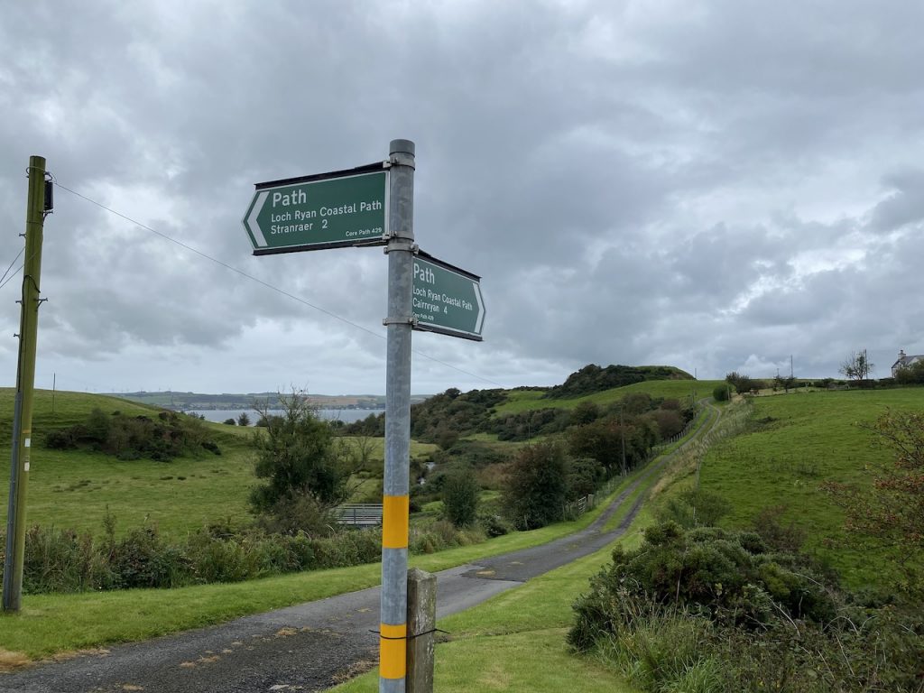
7.12 miles 3h 56m ascent 38m
Stranraer to Cairnryan on The Loch Ryan Coastal Path
A puncture on the way to Stranraer had me thinking that we would have to postpone the walk but speedy service by Sandmill MOT Centre soon had us back on the road. But we decided on a shorter walk, to Cairnryan rather than Glenapp. As it was, that was for the best. The day proved hotter than expected and a jungle-like session with me carrying one of the dogs sapped my energy. I’m sure we could have made it to Glenapp but I probably wouldn’t have enjoyed the last four miles.
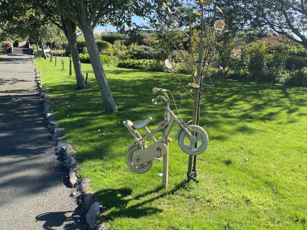
We parked on Royal Crescent next to a tiny park, the Garden of Friendship. It has an unusual monument, a golden bicycle, which is apparently about childhood cancer awareness.
We crossed the main road and took some steps down to what I presume was once a dock. Signs warned us that large waves come ashore up to 30 minutes after a a ferry passes. There was seaweed on the ground so either those waves washed it onto the dock or it is underwater at high tide. But the water was well below the dock, so much so that I decided to keep Christy on his lead in case he was tempted to jump in, and it was more pleasant than walking on the pavement of a main road. [I have had a similar problem with a cocker spaniel before and have learned my lesson.]
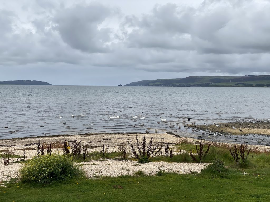
There were a great many swans, and some cygnets, about 50 metres offshore. I counted sixty before I gave up. Half a dozen were closer when we passed Bishop’s Burn, along with several other seabirds. Ailsa Craig wasn’t visible this time.
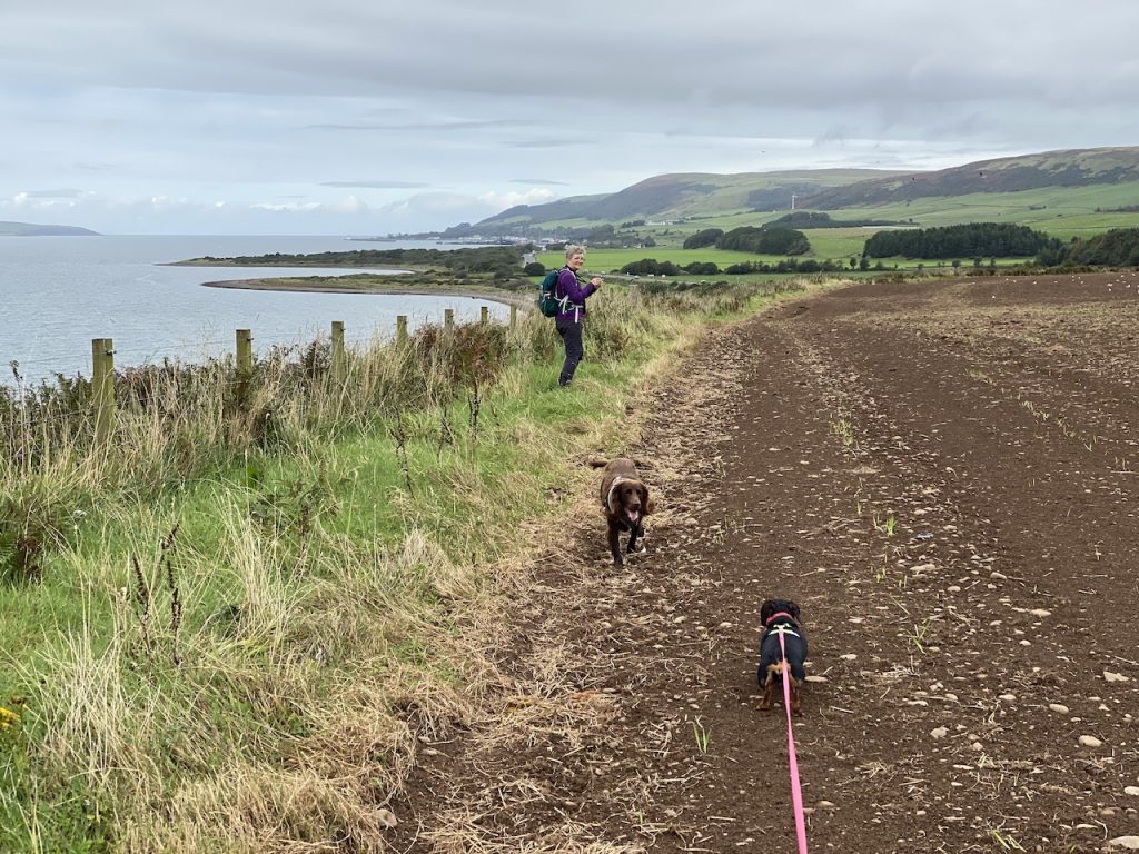
The concrete ‘promenade’ soon ended and we found ourselves walking over shingle and grass, the way shown by marker posts. Mabel was very interested in the waves.
Unfortunately, we had to leave the coast to walk around Ryan Bay Holiday Park which meant walking half a mile along the A77 which is quite a busy road. There was a pavement and we passed the time discussing the practical issues in baking sourdough bread. This meant I wasn’t paying attention and missed our turn, so we had a full mile rathe than just a mile of pavement walking there.
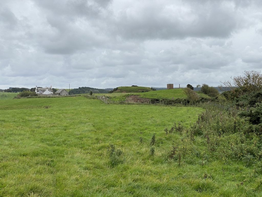
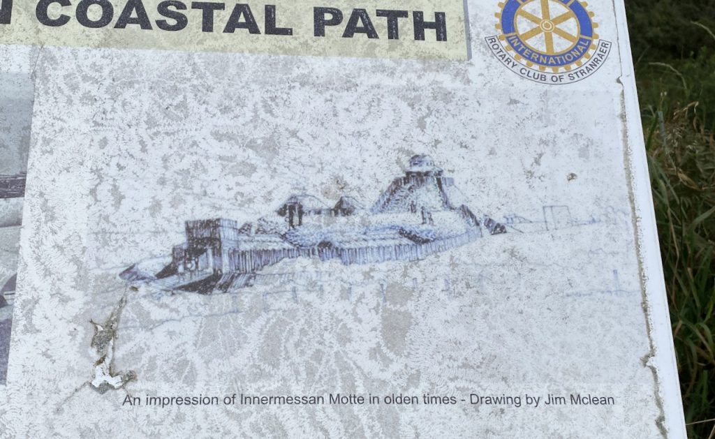
A farm track runs beside the Messan Burn (the burn of the wee dog) and leads to, you guessed it, a farm. A knoll at the top of the hill is all that remains of Innermessan Motte. There is not much to Innermessan now, but in times past it was the main settlement in the Rhins.
Near Lochryan, two miles distant from the kirk of Inch, is the house of Innermessan, belonging to Sir Andrew Agnew of Lochnaw. Here, was a little hamlet or village, which of old was a most considerable place in the Rinds of Galloway, and the greatest town thereabout till Stranrawer was built.”
Rev. Andrew Symson of Kirkinner, 1684
How considerable a place is made clear in The Hereditary Sherriffs of Galloway: “That there were fourscore houses of the better sort having brewing kettles within that time, and that the boatbuilders at Innermessan were famous.”
The Motte dates from the twelfth century but the settlement here is much older. The site is likely to be the Caer Rian (Ryan Castle) mentioned in the poems of Talliessin from the tenth century and may indeed be the Rerigonium described by the Roman cartographer Ptolemy in AD 150.
The photograph below is looking south after we had passed the farmhouse. The Motte is central, with a lesser knoll in the foreground topped with a brick building that looks like a WW2 observation site.
The Motte was a wooden castle built by an unknown Anglo-Norman Lord in the twelfth century. It would have had a wooden stockade around the top and another encircling both the motte and the closer knoll. Descriptions give its height as 30 feet (13m), which doesn’t sound particularly impressive, but as one writer comments, “dimensions which were very much greater before nine centuries of erosion took their toll.” And the motte does stand at the top of a cliff.
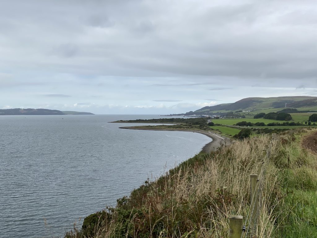
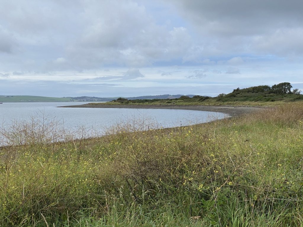
Our walk took us along the edge of a field with good views across the loch and north to Leffnoll Point. The etymology of this is given as laffen cnol, laffen being a halfpenny, so halfpenny hill, a curious name if it’s true.
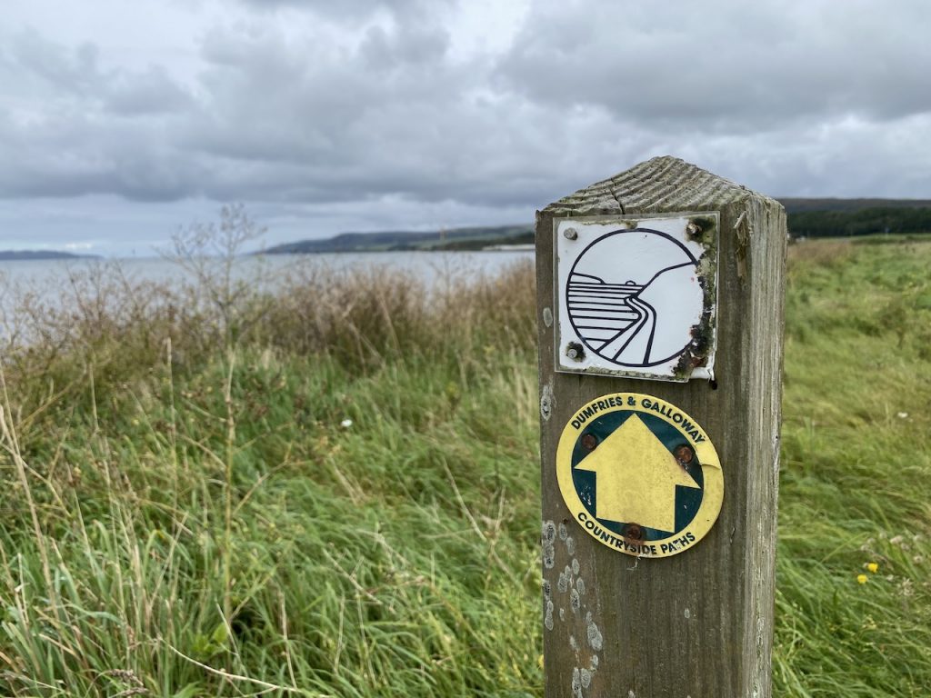
Below us we could see what remains of the Innermessan shipyards (not very much) and a track closer to the shore that must once have been the access road. There was no easy way down and we had way-markers confirming that we were on the correct trail where we were.
We followed the edge of the field until just short of the A77 where we turned back towards the foreshore. Large concrete blocks have been placed to stop vehicles using the old shipyard road. A bit of an eyesore but their bases served us well as seats for lunch. I often wonder why it is that rain always begins to fall just as we get comfortable for lunch. Presumably the sun warms the land….[please complete this yourself].
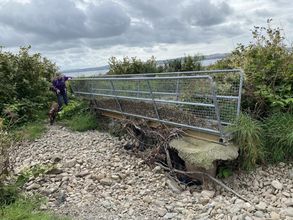
We crossed a number of similar bridges over wee burns. These all had mesh decks that were not dog-friendly being more like cattle grids than decks but luckily the burns were all dry. The one burn that was not dry was the Several Burn and there I encouraged Christy to go through the burn and carried Mabel (hence no photo of the Several Burn)
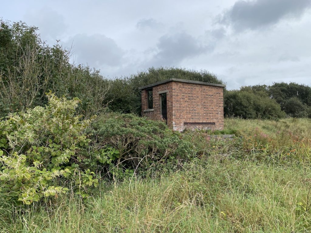
We saw several brick buildings similar to this along the way. All I can find out about them are descriptions as “WW2 buildings” or “WW2 relics”. From their positions I could imagine they might be observation sites but they all had solid walls facing the loch. The going was quite easy along here and we had time to consider the flowers, which included toadflax and seaside century.
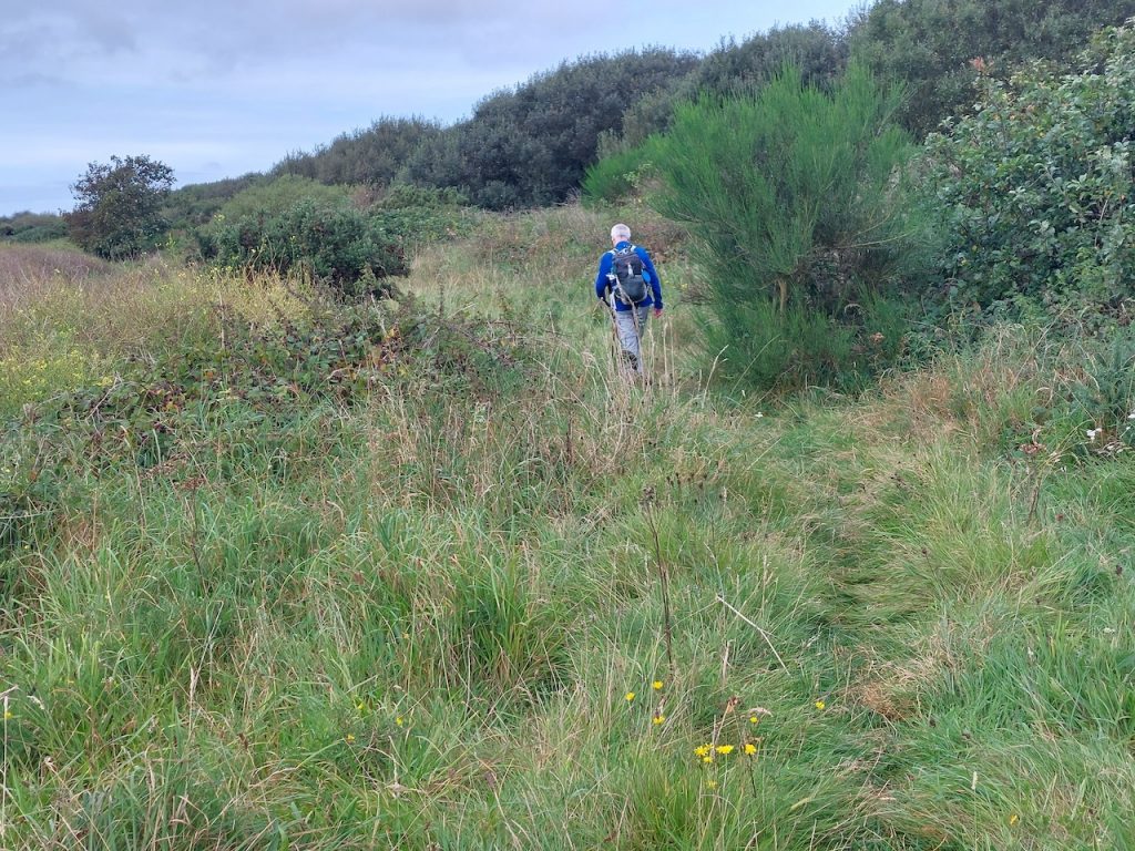
After the Several Burn, as we got closer to the ferry terminals, the track became increasingly overgrown. The gorse leaned in to fill the gap, and scratch us, while brambles and bracken caught our feet and scratched our legs. I looked to the road a few metres to our right, and the beach to our left but close as they were, there was no way but along the path. Christy managed alright but wee Mabel needed to be carried. So there are no photographs of the gorse and bramble jungle. We all emerged scratched to some extent.
At the ferry terminals we were forced to join the road, but it had wide pavements and it wasn’t long before we could see the wee lighthouse.
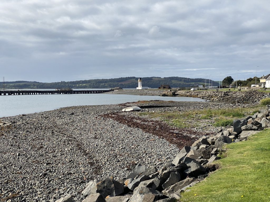
The lighthouse at Cairn Point is 49 feet tall. It was built in 1847, and automated (made unattended) in 1964. Its light has a range of 12 nautical miles.
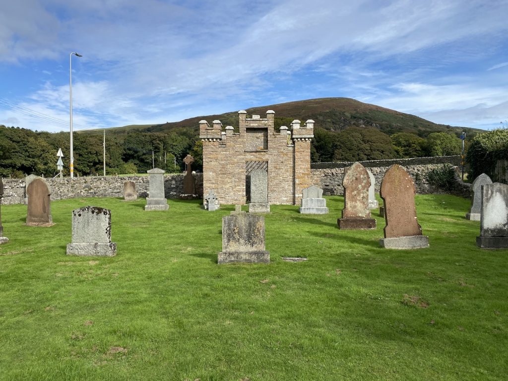
Our final few minutes took us past the flower planters of Cairnryan village, Cairnryan House and a cemetery with a castellated folly.
So. Three or four miles left to do.
Download file for GPS
The Scottish & northern English name for Ulex europaeus is Whins: in the west of England and Ireland, it is Furze. Gorse is the southern English name. There are many placenames in lowland Scotland and northern England with “Whin” in them, so why not keep the local traditions and identity going? Also the Scots word is “knowe”, not “knoll”.