
12.3 miles 5h 4m 114m ascent
Ravenglass-Beckermet
Having completed our walk along the Hadrian’s Wall route last year we have spent the last few months thinking about our next walk and the book Hadrian’s Coastal Route: Ravenglass to Bowness-on-Solway: Walker’s Guide by Clifford Jones served up our challenge. The Roman Coastal defences once stretched from the end of the Wall at Bowness-on-Solway down to Ravenglass, which was once an important Roman naval port. So the route ties in with our Hadrian’s Wall walk from last year. The book contains a wealth of historical detail, but only a basic description of the route, and with hand drawn maps. My copy was published over a decade ago and we are aware that paths and access may have changed since then. There was once a Cumbrian Coastal Way, but the council decided not to continue maintaining it after 2010 and it no longer appears on OS maps, so we might still find old signs but would not be able to rely on waymarkers to guide us. More fun, eh?
The day’s weather forecast was for single figure temperatures and rain, but the Met office on this occasion got it wrong. The rain went elsewhere and we walked in sunshine.
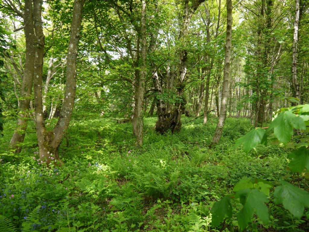
Roadside woodland
I took the start of this walk to be the Roman bath house near Ravenglass. One can’t park there without obstructing the road so we parked in Ravenglass and after touching my bank card to the pay-and-display machine we set off in search of said bath house. This took us across the railway at a level crossing and along a beautiful tree lined lane. [Edit: The LDWA has the Mite viaduct as the start].
The bath house is all that remains of a Roman fort that once housed 500 soldiers, the full extent f the fort now shown only by the nearby information board. We paused by the ruins for our start of walk photos and decided to make our way back through the trees on an inviting path. After about 50m however the path ended and the woodland wasn’t conducive to wanderings off-path so we backtracked to the ruins and began our Hadrian’s Coastal walk anew.
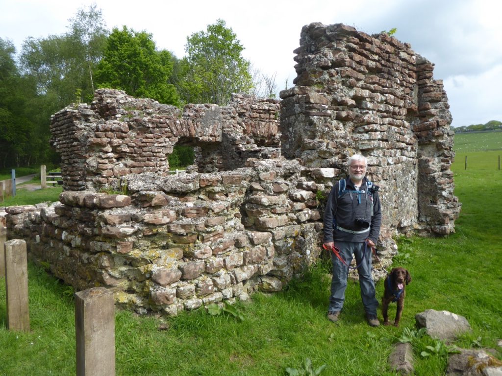
The bath house
Rather than walking back the way we had come we took a tunnel beneath the railway and soon found ourselves on the sands of the harbour, the tide being out. The harbour is silted up now and where once the Roman vessels would have docked there are now just a handful of pleasure boats resting on the sand. Ravenglass sits at the confluence of the rivers Esk, Irt, and Mite, and to find our way across the estuary we turned onto the old main street with its flower bedecked houses. One even had a bowl of water outside for passing dogs. Christy wasn’t thirsty yet though. A GR post box added to the old world feel.
As we walked along the street the first of three concerns I had regarding the day’s route rose into my consciousness. How were we to cross the River Mite when the map showed only the Railway viaduct? So I was relieved to find the viaduct had an attached footbridge.
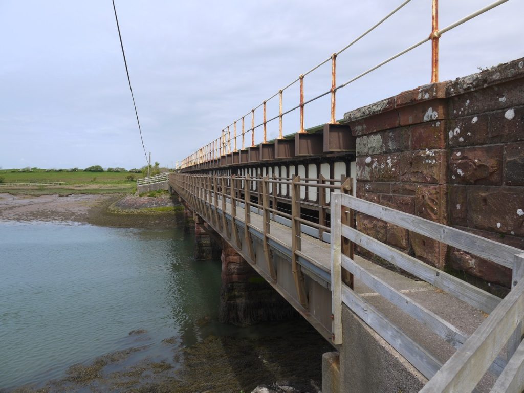
Over the Mite
The three rivers forming the estuary are, from north to south, the Irt, Mite, and Esk. The internet proposes a host of possible etymologies for Irt, Mite, and Esk but most have a “just so” ring to them. Irt it is claimed might take its name from ancient words meaning mud but alternatives suggest it might derive from clean or fresh. The Mite could take its name from words with a meaning of peeing/dribbling, but also from meet or muster. The derivation of Esk is perhaps more certain. The name exists elsewhere and probably meant water as in Gaellic uisge, (which has also given us Ex, Ax and Ux). But who knows if these rivers ran clear or muddy, or fast or slow millennia ago?
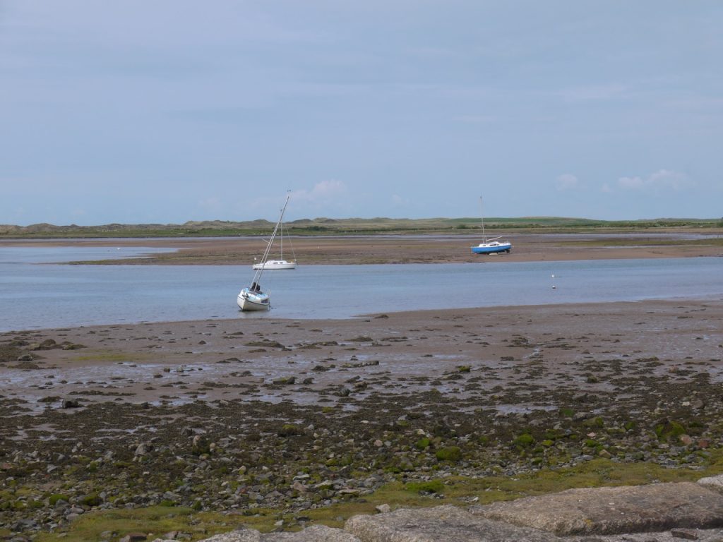
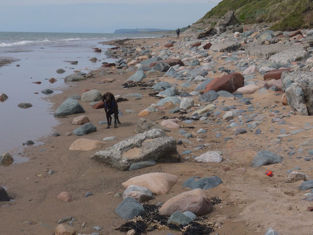
Ravenglass Harbour
After crossing the Mite, which was more than a dribble, we walked around a small area of salt marsh then onto a minor road at Saltcoats. There was hardly any traffic so Christy ran free most of the time, finding sticks for us to throw for him. The mountains to the west brooded under slate skies, and may have had the rain forecast for us, while we had sunshine and hedgerows of flowers displaying all the colours of the rainbow.
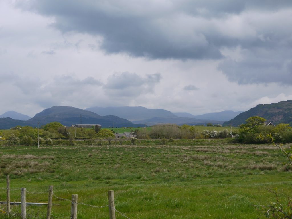
Lakeland Hills
There is a ford on the Irt beyond Carleton Hall but having looked at photos of said ford I wasn’t likely to use it. Instead we followed the road around to our right, towards the second of my concerns regarding the route. Our guide book described an old footbridge on the Irt, but bridges can be washed away and I have had the experience of absent footbridges before.
So I took my concern with me under the railway, while looking at the map for an alternative.
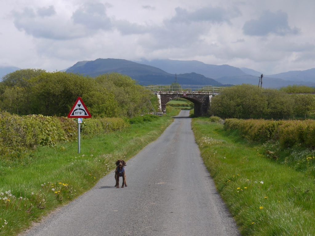
Near Carleton Hall
A signpost for a public footpath indicated where we should leave the road but after a short distance the track ended abruptly at a gate. Ahead was a field of grazing sheep, but no evidence of a path. On the gatepost though were some old signs presumably dating back to the Cumbrian Coastal Way. We followed the direction indicated and came to the Irt.
I spotted what I took to be the remains of a bridge’s foundations and began to cast my eyes about for a more direct way back to the road. Then I saw that the old bridge was still there and my second concern was assuaged.
The Irt
There were steep steps down to the river which required some concentration with an eager spaniel on a lead. I heard Audrey say “a real packhorse bridge” once she could see it, which seemed a strange thing to say. I thought perhaps she is a secret expert on bridges and would soon explain to me what characteristics identified this as a packhorse bridge. I realise now that she was quoting from the guide book.
Reply from A: I certainly wasn’t referring to the book when I exclaimed ‘a real packhorse bridge!’ It just struck me as such with it’s narrowness, hump back and cobbles. It would seem Cumbria has an abundance of these. I may not have known the term ‘currick’ but perhaps my Cumbrian descent has instilled some ancient packhorse bridge knowledge! https://en.wikipedia.org/wiki/Packhorse_bridge
Across the river watching us crossing was a woman with a springer spaniel, the reason for Christy’s eagerness. The dogs said hello as dogs do.
There was a faint track, well more like trodden grass, to follow across a meadow that looked as if it would usually be very wet, but today was dry, so we walked easily across dried up mud through wetland grasses with butterflies dancing from flower to flower. The trodden grass became a path and brought us out on the B5344 beside St Peter’s Church in Drigg.
Drigg is said to take its name from a norse word meaning a place to drag a boat but it’s a bloody long way from both the sea and the river so either the derivation is incorrect, Norsemen liked dragging boats an unnecessarily long distance from the sea, or the sea was once closer. One curiosity of Drigg is that the houses and bungalows along the B-road all have cattle grids at their drives.
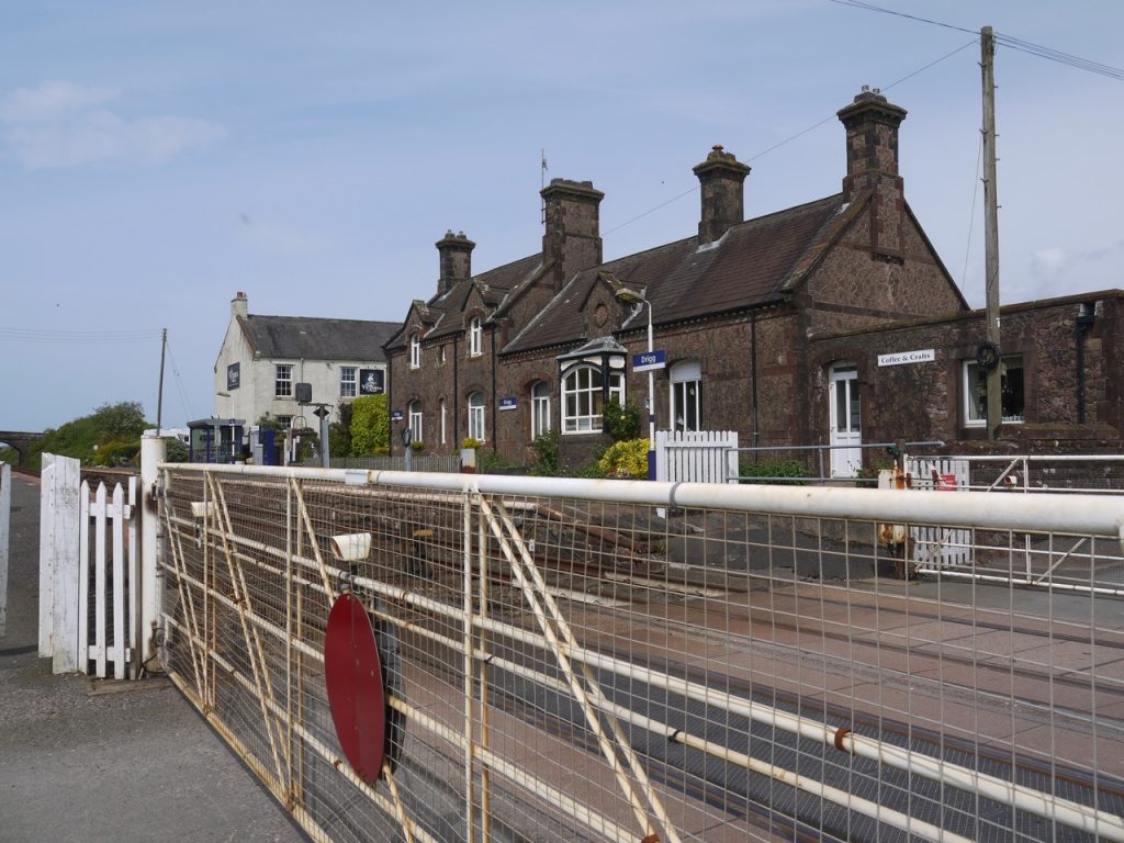
Drigg level crossing
An information board “Drigg: neolithic to nuclear” told us that the bridge we had crossed is named the Holme Bridge and was indeed on an old packhorse route. Its age is unknown but it has a stone inscribed 1772.
At Drigg railway station I realised what LC means on an OS map. There is an old fashioned manual level crossing. We read the instructions and were sure to look both ways carefully before crossing.
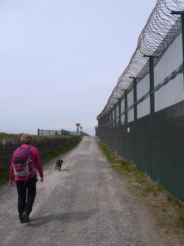
The crossing took us into a different world. To our left farmland. To our right a high fence topped with barbed wire surrounding a low level nuclear waste facility. The fence had numerous “no hipster” signs, or they perhaps just designed in the 60’s. I tried to reproduce the sign’s deportment but the photo didn’t really capture my efforts.
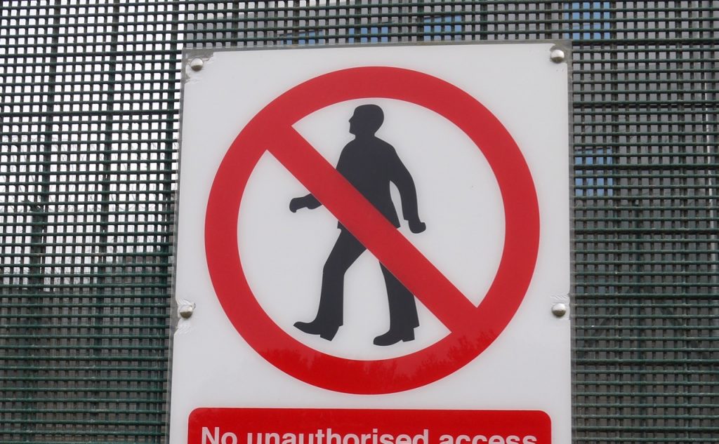
No hipsters
The road down to the beach seemed to go on for ever. It was actually 25 minutes but the monotony altered my perception of time. That said, Christy enjoyed “fetching” sticks, there were bluebells and stitchwort covering the banks, sheep and lambs in the fields, and unfortunately, a dead dog by the road. I think it was a dog anyway. Christy was very good in responding to the command LEAVE!
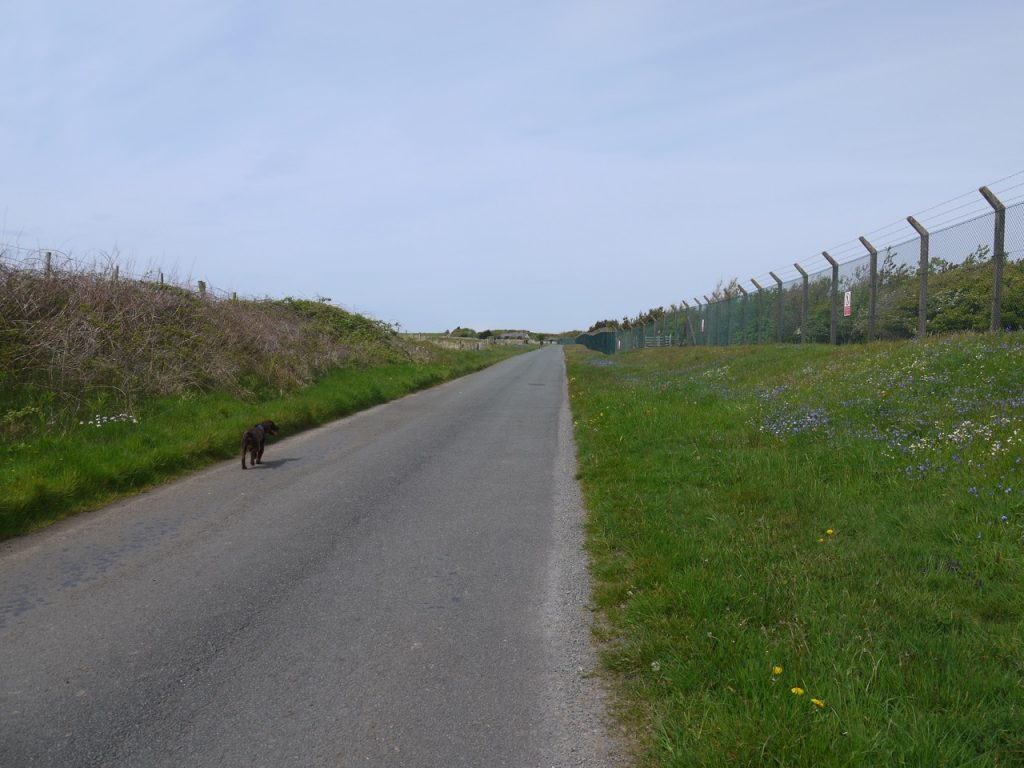
The never-ending road
There were some pink flowers I didn’t recognise. My initial thought was sea-spurrey but having looked it up I don’t think they were. Centaury perhaps?
At last, after the eternity that was really only 20 minutes we could see a hut and cars ahead. A sign told us this was an area of special scientific interest which probably accounts for the folk with binoculars. After exchanging a few words with them we headed on to the dunes to some wooden benches which were just what we needed for our lunch beak. There was a steep drop down to the beach so the pup had stay on his lead, forcing him to take a rest as well.
We were just a little shy of half way to Beckermet and lunch was welcome, though perhaps a little overdue. We could now see Seascale and Sellafield but not discern them as separate. Indeed we could see as far as St Bees Head and, once it was pointed out to me, the Isle of Man.
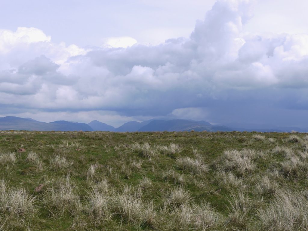
View East at lunch
Re-caffeinated, fed, and a little cooler, I donned my fleece and we set off over the dunes, Christy taunting me with bits of sticks. The sun was warm and the breeze cooling. We could now see the target that held my third concern, but that was still an hour and a half away so all was well with me. The going underfoot was easy and the ground firm beneath our feet. Until, that is, the spell was broken by a careless comment to the effect that the going was easy and the ground firm.
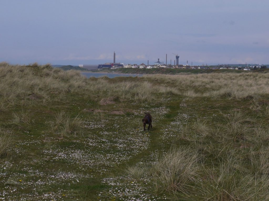
Sellafield from Drigg dunes
The path altered, the ups and downs growing more pronounced, and the firm ground giving way to soft shifting sand. Fun on a carefree beach holiday, tiring on a day’s hike.
We looked to the beach below us, where another walker had paralleled our walk and as soon as an opportunity presented itself we climbed down. The beach offered choices for our walk: shingle, firm but uneven and unstable; dry sand, soft and yielding; wet sand, soft, yielding and clinging. I tried each more than once and eventually settled on the slightly wet sand. It was a tiring walk and despite being completely flat it drained me like an uphill slog. Conversation was curtailed. The effect was made more irritating by being overtaken by a young lad who appeared to be moseying along languidly, as would one with nowhere to go and no hurry to get there. His appearance would have been complete had he been aimlessly kicking a tin can. Yet despite his apparent lack of effort he overtook us easily.

Not easy going
I got the ball and chucker out to keep the pup amused and distract my mind from the sand underfoot.
As we drew closer to Seascale the beach grew narrower eventually giving way rocks at Whitriggs Scar, then a breakwater that took us into the town. The ‘scale” of Seascale takes its name from the Old Norse word for hall, skali. And it still is, I suppose, a collection of halls by the sea. I have since heard that the ice creams here are good, but we didn’t know that then so didn’t think to try them.
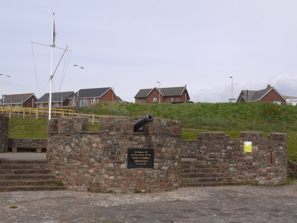
Memorial at Seascale
My eye was caught by an obviously modern castle like construction and we wandered over to take a closer look. A plaque is placed there to the memory of those who were killed in the West Cumbria shootings of 2010. It did seem a little incongruous though to put such a memorial immediately below a cannon.
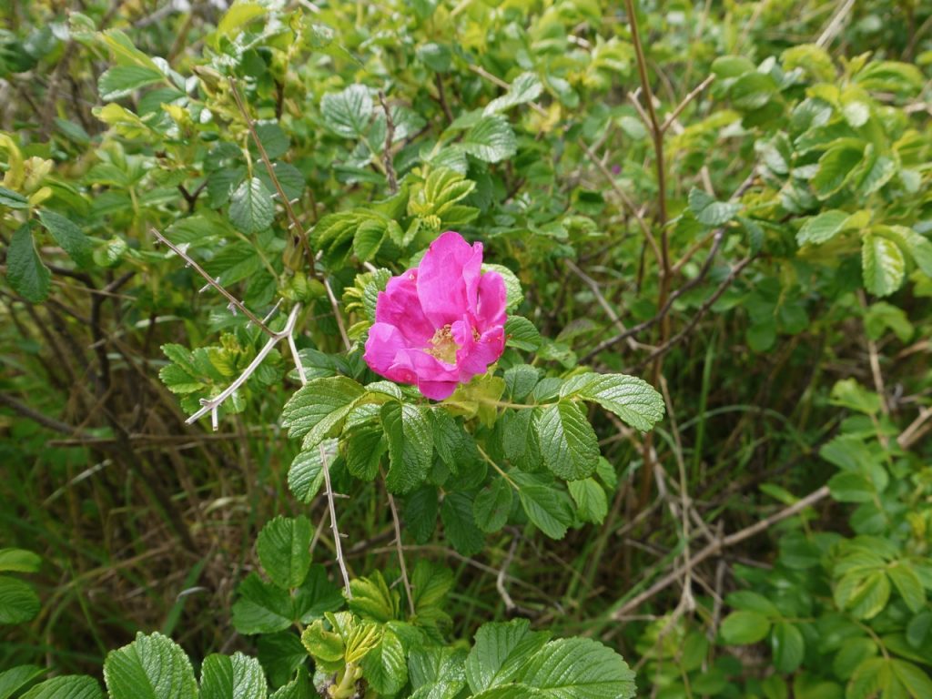
I was a little unclear as to the route from here. We knew we needed to be on the sea side of the railway line and should be following the national cycle route. The only way to go seemed to be the beach, which seemed an unlikely route for bikes. But then I noticed a narrow path beside the Windscale Boat club and following this led us to a footpath lined with wild roses and a variety of wild flowers, with stitchwort the most abundant. This was presumably the cycleway. Walkers coming in the opposite direction looked at the dog and warned us of an adder on the path up ahead. So I had to keep my eyes peeled and make sure the dog didn’t run too far ahead. We didn’t meet the adder.
As we drew towards Sellafield my third concern loomed closer. Would the path between Sellafield and the sea, and the river crossing, still be open to the public? Walking along the beach would not be an option because we would need to cross the River Calder. Our guide book was out of date and still suggested that one could get tours of the site.
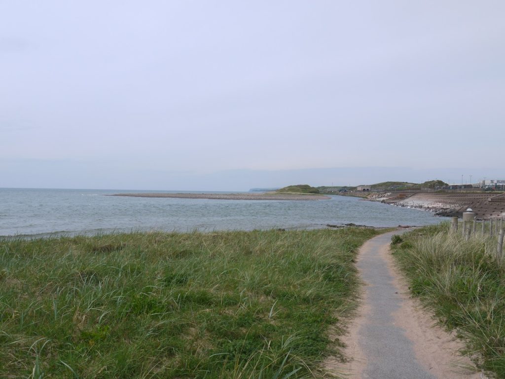
The Ehen and Calder Confluence – end of the path?
When we came to Sellafield, we ran out of path and the railway crossed the water on a bridge of its own. We went the only way we could, picking our way over broken ground beneath the railway bridge which was the right thing to do since we found a footbridge hidden on the other side and cycleway signs pointing across it.
Having crossed the Calder we were faced with a tunnel back under the railway or a path beside the tall fence. I checked under the railway and found a concrete pathway that went nowhere. It looks as though at some time there had been a plan to build a more substantial pedestrian bridge.
So we went alongside the tall razor-wire topped fence with its “no hipster” signs now interspersed with “no drone” signs. Luckily I didn’t bring one.
There were a several trains in the site but some subconscious effect dissuaded me from taking taking photos, I now see I took very few of the site itself.
At Sellafiled railway station we left the coast for our last leg, inland to Beckermet. We were now on a modern road which was surprisingly busy so I was pleased to find we had pavement to walk on. As we were about to leave Sellafield’s perimeter fence we noticed a plaque hidden by the grass: “Dedicated to the victims of the reactor fire at Windscale 1957. We will always remember.”
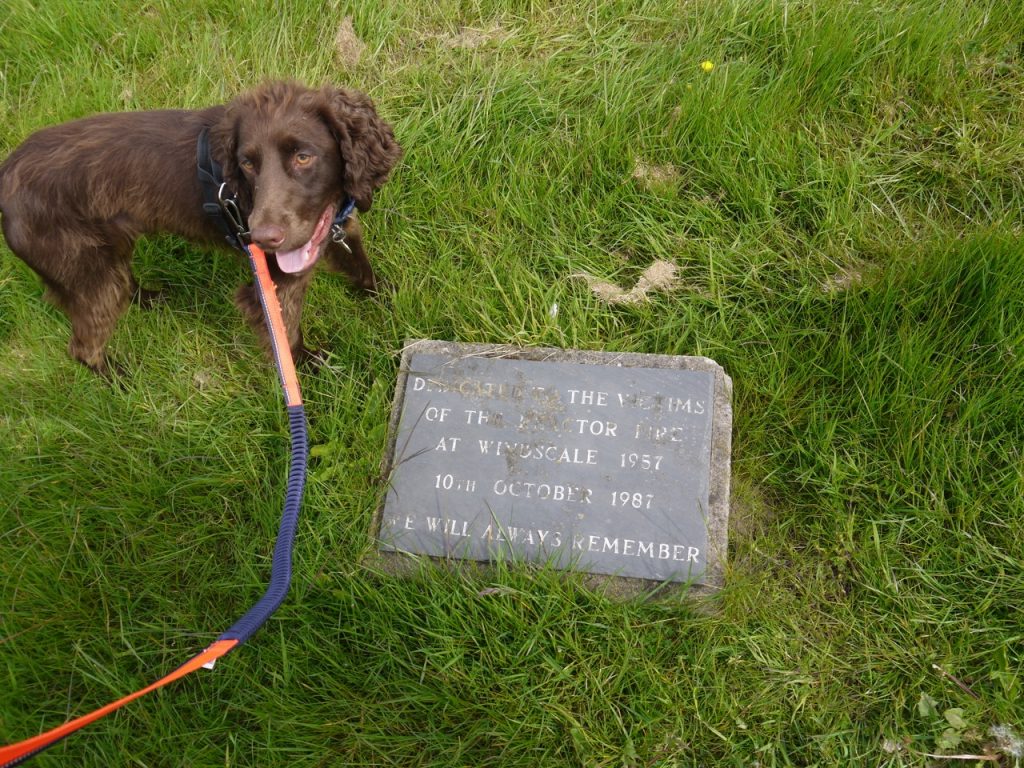
It was a little sad that it was set in so inconspicuous palace and could so easily be overlooked. This poem by Norman Nicholson relates to that incident.
The toadstool towers infest the shore:
Stink-horns that propagate and spore
Wherever the wind blows.
Scafell looks down from the bracken band
And sees hell in a grain of sand,And feels the canker itch between his toes.
This is a land where the dirt is clean
And poison pasture, quick and green,
And storm sky, bright and bare.
Where sewers flow with milk, and meat
is carved up for the fire to eat,
And children suffocate in God’s fresh air.
The toadstool towers, the cooling towers, are gone now, demolished over a decade ago. The contaminated farms poured away their milk and burned their meat before I was born and the events will linger in only a few memories now. Perhaps Nicholson’s poem has a place beside that plaque in the grass. (More information on the Windscale Incident).
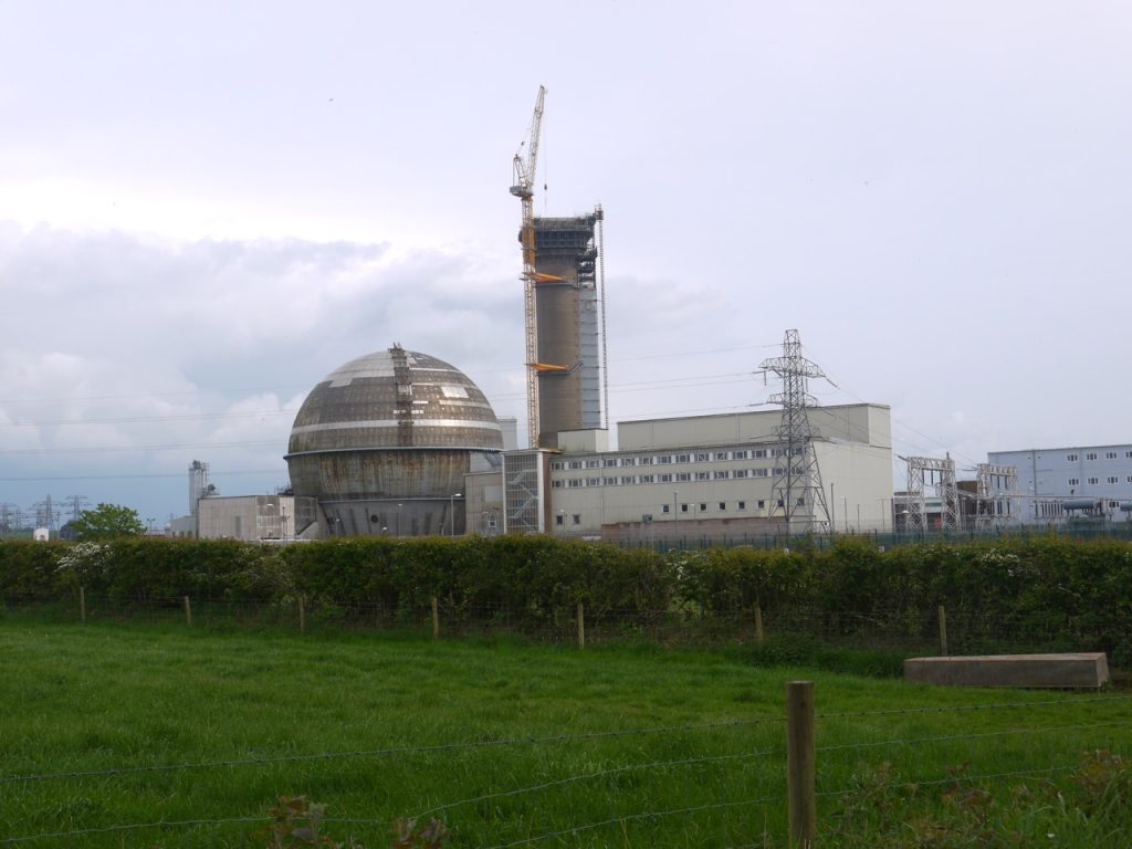
As we turned away from Sellafiled the final view looked las I would imagine a 1950s or 1960s nuclear power plant to be. Sellafield seen from this vantage point looks old, and almost cries out to be seen in black and white. It is a look that would have appeared futuristic when I was a child.
We were looking to turn left from the road but a sign pointed right and we decided to follow its advice. This took us back under the main road, sparing us a dangerous crossing, and onto a tarmac path away from the cars. A bench by the path let us rest for a while and have a drink of water then we were off in search of the cinder track that would take us along the route of a disused railway, to Beckermet.
The cinder track is no more, replaced with tarmac, and our stroll along this last section gave us views of the sea and a large hill that looked to be manmade. I wondered if this was the “Starling Castle” marked on the OS map, but it would appear not.
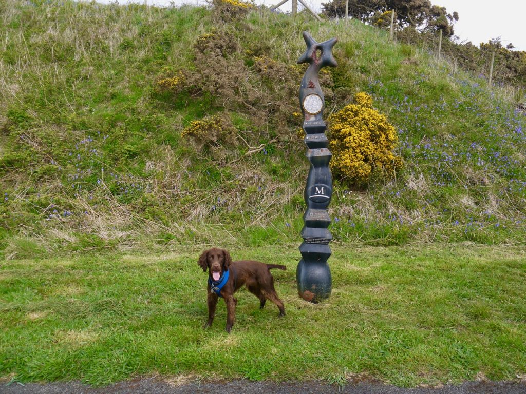
National Cycleway Sign by the disused railway
Our last mile or so took us past an old church and graveyard, St Bridget’s I think, though it bore no name, and once we had passed under a railway viaduct we were in Beckermet and the car only five minutes away.
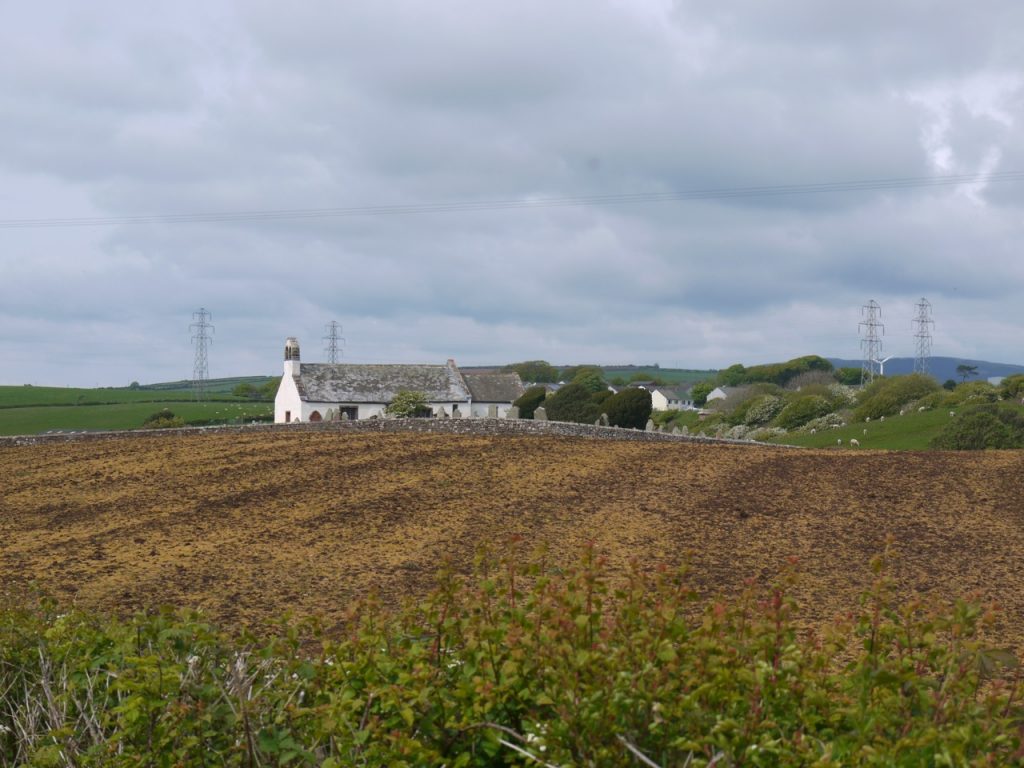
St Bridget’s Church, near Beckermet
[sgpx gpx=http://www.screel.co.uk/walks/wp-content/uploads/2019/05/RK_gpx-_2019-05-07_1110.gpx]

Hi
Just read through your entire account of the walk from Ravenglass to Bowness – it’s on my radar for next Spring, having done the Wall a few times now. Really enjoyed your stories – any recommendations? Looks to be fairly firm underfoot for most of the way, apart from the marshlands! We’ll probably B&B also… Do you think 6 days is a good trip – I like to dawdle and investigate interesting places as well as hurry past the dull stuff…
best rgds
simonf
Hi Simon,
It was firm underfoot. Walking on the pebble beaches was a bit hard going but nothing really dreadful. As for the marshes, I made a special effort to cross them at a very low tide. A very nice walk, could be done in 6 days, but we have slowed over time. I tend to get carried away looking at things, wondering what that flower is, looking on the map to see what hill that is etc.