8.84 miles 6h 40m ascent 865m
Mossdale to Merrick (part 6)
This, part 7 of our Raiders walks, was the sixth and final of the Mossdale to Merrick trail. As with each of the other Raiders’ sections we walked the same way out and back.
This walk has three sections: Bruce’s Stone to Culsharg, a gentle climb beside the Buchan Burn to get you warmed up; Culsharg to Benyellary, is a little steeper but carries you onto the mountain; then the Neive of the Spit, a short descent followed by gentle climb to The Merrick.
We began where we had left off the previous week, above the still waters of Loch Trool. A small dragonfly, or perhaps a damselfly, landed on my arm as I looked down to the water below and proved difficult to shrug off. When it flew away I followed it with my eyes, the slope being far too steep to allow me to walk after it. The slope beneath me retained its “sylvan shades and verdant surroundings” but the water was far below. The hills around Loch Trool nestle up to it like puppies around a toy. Quite different from Loch Dee’s surrounding hills which have kept their distance, leaving it in its “desolate treeless waste”.
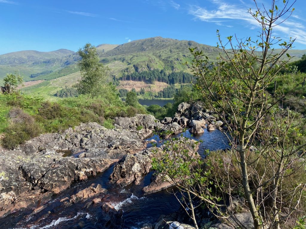
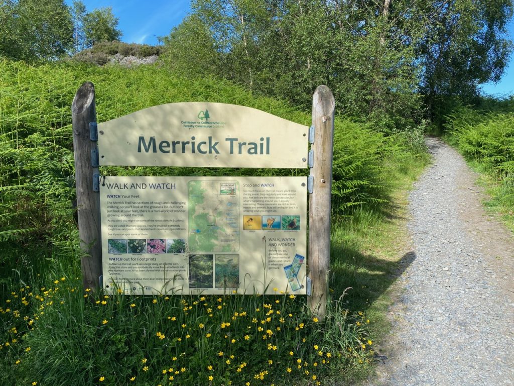
A large information board marks the start of the trail. A firm, well defined path follows the burn up the valley. At first the water can only be heard but soon enough the path comes alongside the rocky stream and its waterfalls. It then winds along the lower slopes of the Fell of Eschoncan, which takes its name from the burn, though it isn’t obvious. The Fell of Eschoncan was Essbuchany Hill on older maps revealing its origins from eas bothanach, the water by the huts, now the Buchan Burn.
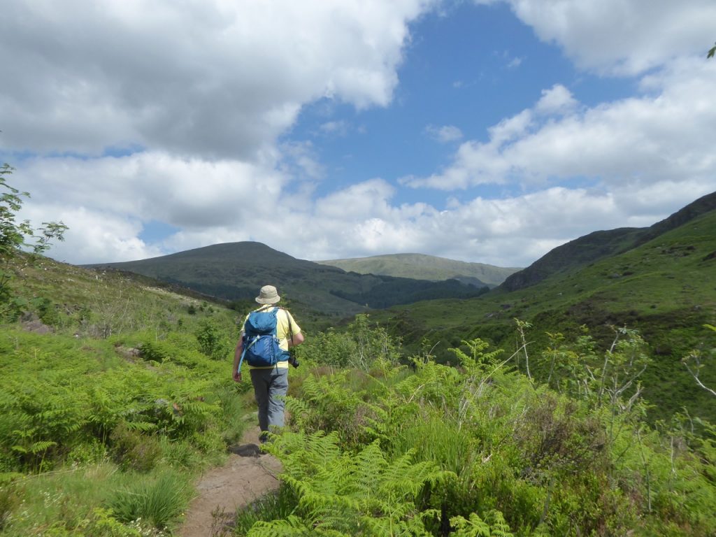
Path above the Buchan Burn, Merrick in the distance
Above the waterfalls the path climbs away from the burn and in places is strewn with rocks. Not particularly hard going, but you have to watch where your footing if you want to keep your teeth. The forest on the slopes above the path has been felled opening the views somewhat, but depriving us of shade and reminding me that I had forgotten the suncream. Initially the best views were those back along the Glenhead Burn but soon enough we were high enough to see around Buchan Hill to Merrick and Benyellary.
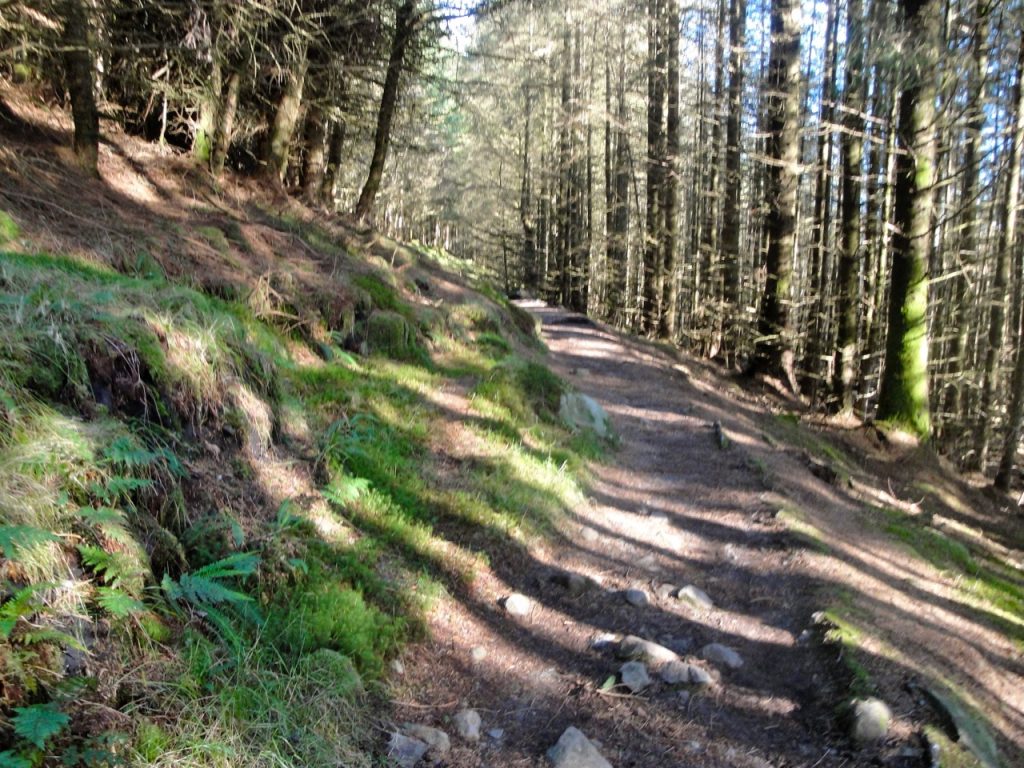
the path eleven years ago
As we came closer to Culsharg the path crossed some boggy and muddy patches. The word “fords” on the OS map suggested that it might be worse at times. Tree trunks had been thrown into the wider sections but I find them worrying all the same. Are they resting on a firm bottom or floating? I picked my way across carefully but was rewarded with a kerplunk! as my left leg sank into the abyss. Audrey made it across dry shod, but must have been gloating inwardly and was caught herself on the way down. The water sprite would not be cheated of her dues.
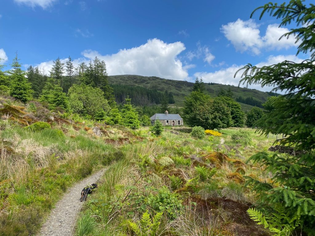
Culsharg
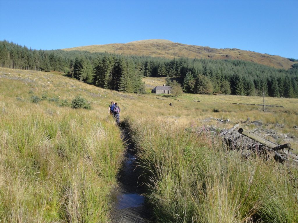
And back in 2010
Culsharg is said to be cuil dearg, red corner. I can see that this might be a corner, between Bennan and Benyellary, but I couldn’t see what categorised it as red. There is the nearby Redstone Rig and the Rig of the Jarkness, which likely arises from dearg. I wondered if the rocky outcrops on Buchan might be considered red but Audrey’s “if you say so” was, I’m sure, the weakest form of agreement short of outright dismissal. Perhaps the surrounding plants look red at times, but wouldn’t that be true everywhere here. And why is the nearby stream the the Whiteland Burn? Perhaps it is as simple as an occupant having red hair, or as disturbing as blood being spilt here. I like that one. A bloody battle, invaders slain by the king’s brave men, outnumbered as they were. That’s the red corner I’ll believe.
At Culsharg now, there is a bothy. When I was last here it was a shell, without doors or windows, but it has a door now, and sash windows, though one has a broken pane. The roof looks new and a locked gate stands where once the wall was open. Sadly there are signs of misuse, and when we sat I chose my seat so that the dogs wouldn’t be standing in broken glass.
There is a bench beside the bothy, an old camping chair, and a log. I chose the log, there being broken glass around the bench. And be warned, the log isn’t stable. As I rocked there, I noticed a half used candle in the grass, and when my water bottle fell on the ground and rolled away, for lack of a handle, I felt I might be…..
On the Coast of Coromandel
Edward Lear
Where the early pumpkins blow,
In the middle of the woods
Lived the Yonghy-Bonghy-Bo.
Two old chairs, and half a candle,
One old jug without a handle
These were all his worldly goods,
In the middle of the woods,
These were all the worldly goods,
Of the Yonghy-Bonghy-Bo,
A rectangular cairn beside the bothy has this sign beside it.
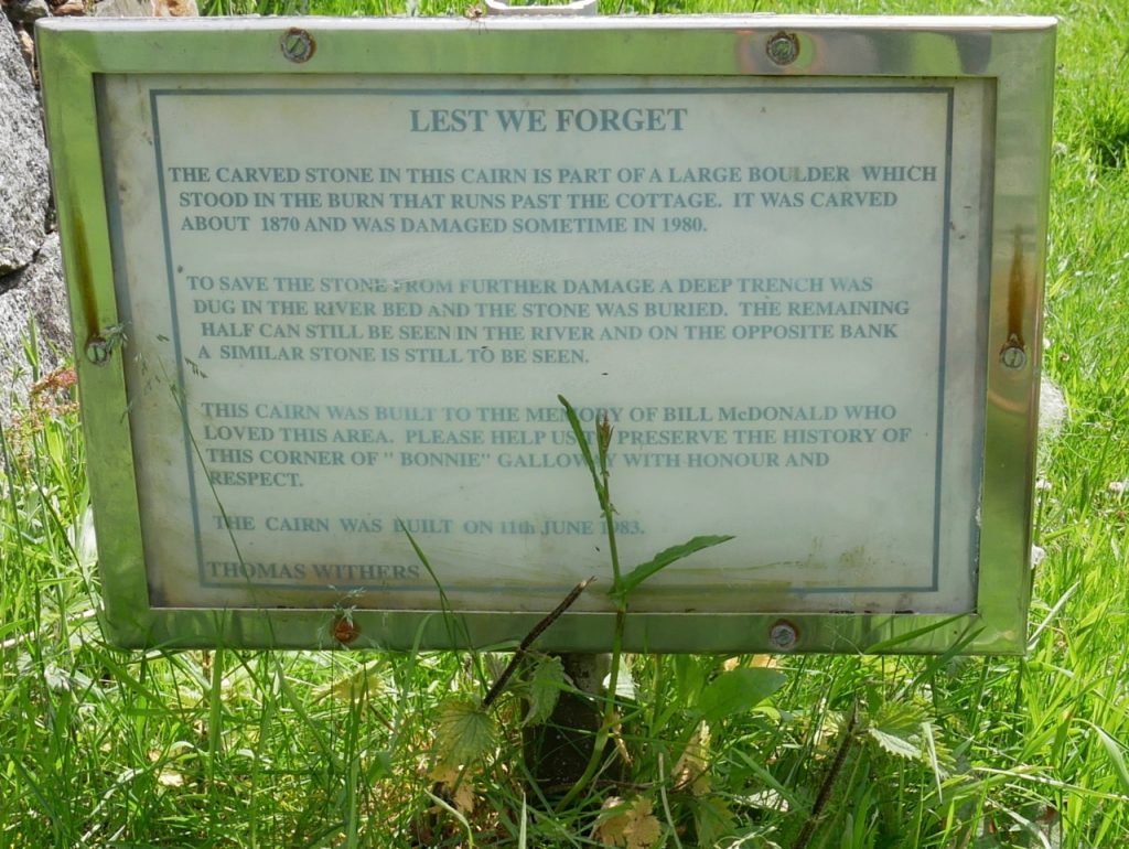
Sign beside the cairn at Culsharg
I couldn’t help but go down to the Whiteland Burn and look for the rocks mentioned on the sign. But it was a trap. Midges precipitated from the clear air itself and drove me away from the burn. Needless to say, I didn’t find the boulders mentioned on the sign and days later I am still itching. Taigh nam gasta ort, midge!
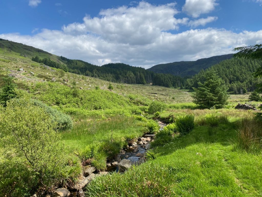
Whiteland Burn the instant before the midges attacked
Watered, bitten, and jelly-totted, we left Culsharg, crossed a forestry track and entered the forest by a deer gate. A sign beside it said something about willows. I was pretty sure I had taken a photo of the sign, so didn’t commit it to memory, but back home I have no photo, so that’s all I can say. The path here is steeper, and rocky. The loose rocks more of a hindrance than the gradient. But it was a pleasure to be out of direct sunlight for a while.
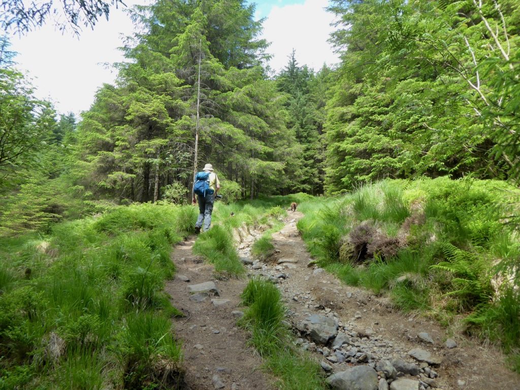
Above Culsharg – steeper than it looks – this isn’t the rocky bit (Forest Zone)
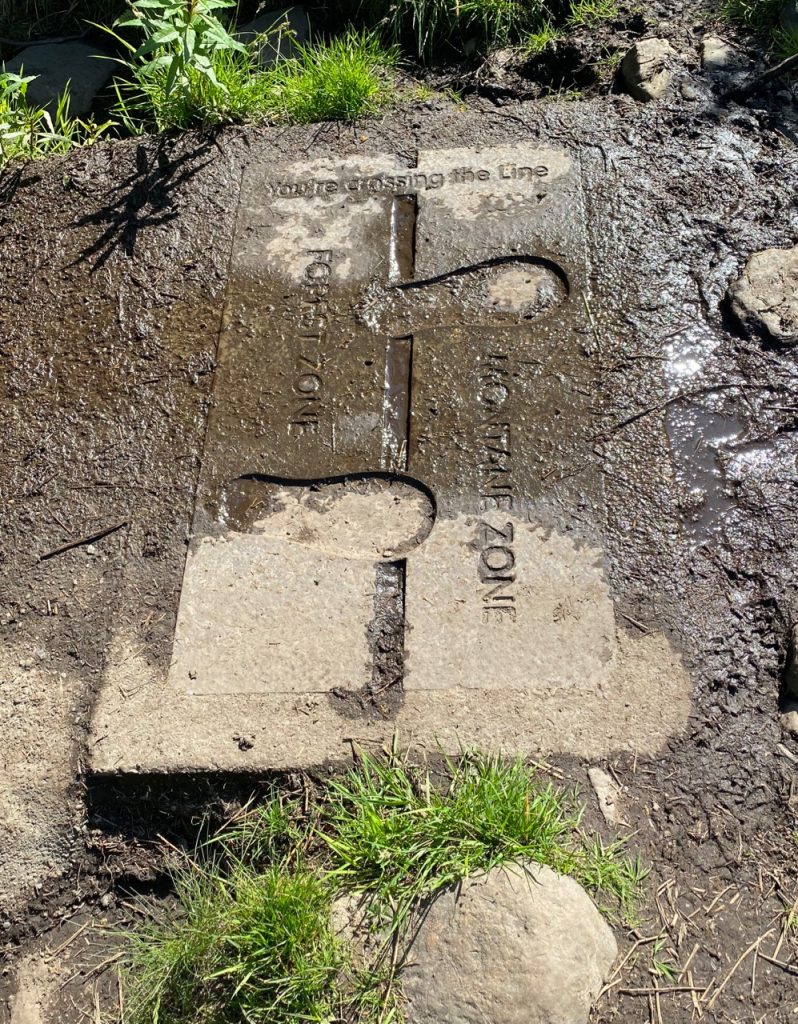
A paving stone, cemented into the path, alerted us “You’re crossing the line”. It marks where the forest zone ends and the montane zone begins. The fact that we left the trees for blaeberry, heather and stumpy shrubs was also a bit of a clue.
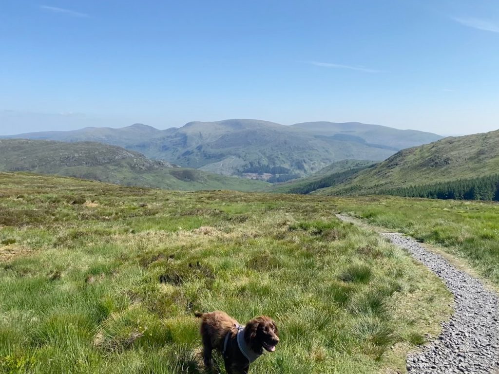
After leaving the trees, the gradient eases, the path winding gradually upwards to the wall joining Benyellary, the eagle’s hill (beinn iolaire) to Bennan, the little hill. A deer fence at 510m heralds a welcome widening of the contour lines. Sheep grazed beyond the deer fence so both dogs were on their leads, though only the dachshund seemed to notice the sheep. Her eyesight or nose must be better than the spaniel’s. She would stop ‘point’, one foreleg raised just so we knew where the sheep were.
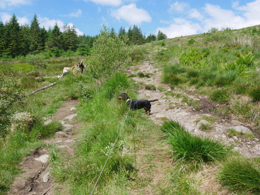
Montane Zone
As we climbed the blaeberry and heather gave way to grass and where footfalls had thinned the grass, small stones peeped out the ground, their dull rustiness a stark contrast to the brightness of the innumerable white erratics that now littered the slopes. Unfortunately Christy wasn’t comfortable without something to carry and there were no sticks to be had, so he ran about searching in vain for twigs. I have learnt my lesson. I’ll carry a secret stash of sticks in future. With Benyellary’s cairn not yet in sight, we trudged on stopping every now and then for a breather to admire the views back over Bennan.
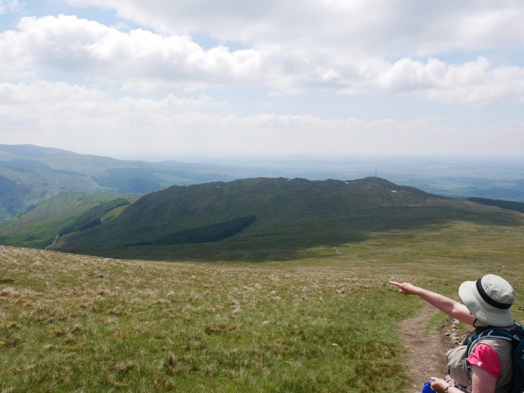
admiring the views
The final 100m of Benyellary are a little steeper, but the extra effort is to the views what a sprinkling of salt is to a plate of scrambled eggs. Before us stood the Galloway hills, the Awful Hand, the Dungeon Hills and the Rinns of Kells in their entirety, and Lochs Enoch, Arron, Neldricken, Glenhead, and Dee (and possibly Ochiltree).
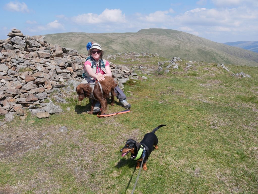
Benyellary summit
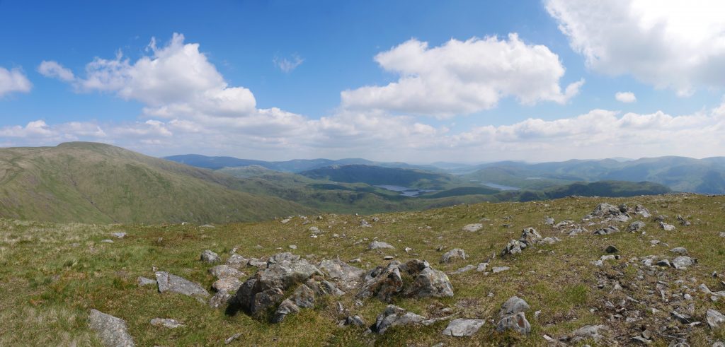
view from Benyellary
We stood to admire the views, then rested in the lee of Benyellary’s cairn. Ahead of us was our ascent to Merrick along the broad grassy ridge of the Neive of the Spit. Neive is a Scots word meaning clenched fist. “Clap in his walie nieve a blade” is there in Burns’ Address to a Haggis. It is of norse origin (hnefi) and must have been more widely used since Shakespeare has “Give me your neafe, mounsieur Mustardseed”. Had the ridge’s name been reversed as “The Spit of the Neive” it would have made some sense, being the promontory (spit) extending from of the (awful) hand but “clenched fist of the promontory”, Neive of the Spit, it is. Makes you wonder what that word “spit” actually started as in the name.
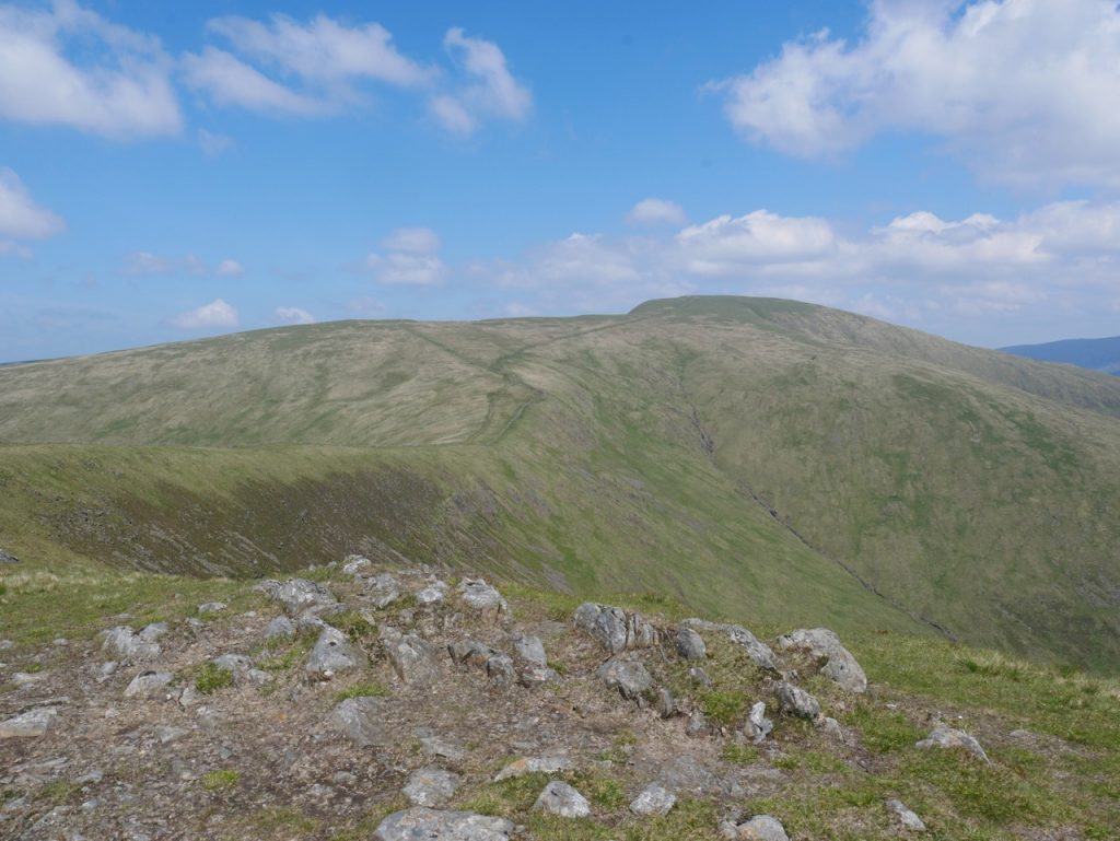
Neive of the Spit from Benyellary
Walking the Neive in great weather, such as we had, was a joy. The descent is gentle enough to offer no hindrance, the ascent to the Broads of Merrick far easier than that we had just done to climb Benyellary and the ground easy underfoot. We passed more walkers here than we did anywhere else on the walk. Presumably we had set off an hour or so later than most of those on the hill. And the views were spectacular. Ailsa Craig to the west, Galloway’s lochs twinkling in the sunshine like a line of misshapen pearls. The Deil’s Bowling Green lying on the Dungeon Hills.

Broads of Merrick
Merrick at 843m tops the list of Donald hills and is the highest summit in Southern Scotland, and the seventh highest Corbett. The origin of its name has been lost, but Blaeu’s maps from 1654 name it as Maerach Hill which might suggest a connection to meurach, meaning pronged or fingered. It had become The Merrack by 1755 and is often referred to as The Merrick.
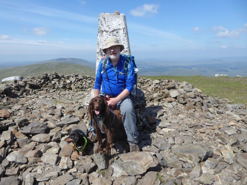
Merrick summit
We walked a little way along Redstone Rig for better views. Loch Enoch the glacial cauldron for these hills and valleys, Eglin Lane meandering below Mullwarchar all the way to Loch Doon, the whole line of the Rinns of Kells, and all four of the south-west’s Corbetts stood before us. Once the rig’s gradient started to increase we turned back for the summit and found some rocks to serve as our seating for lunch.
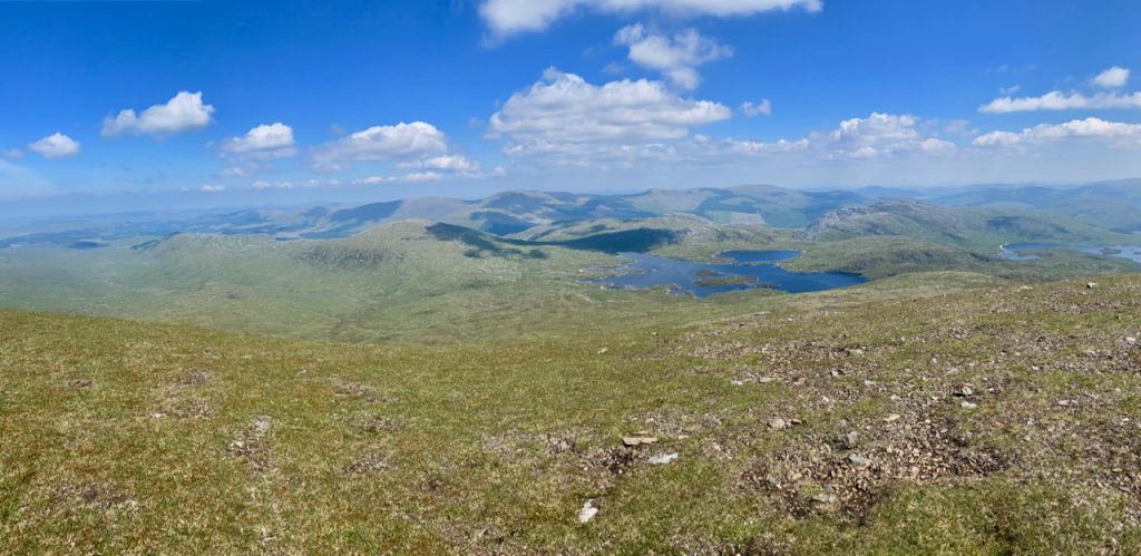
Mullwarchar and Loch Enoch
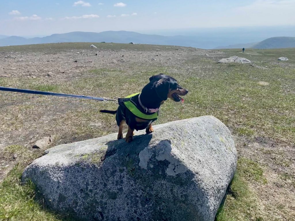
Typical lunch seating on Merrick
Our return was the way we had come, with stops at the same places. Mabel was flagging after we reclimbed Benyellary and when we sat for a break, she flopped on her side. I thought she was done for the day and planned to carry her down (she’s only about 5kg so no big deal). But I was wrong, she just needed a rest and after five or ten minutes she struggled to get down and back on her legs and was firing on all cylinders forging ahead of us. She certainly had enough energy to bark (and I mean BARK!) when a large group passed us at Culsharg. They were far enough away to allow for barking rather than hiding behind me. She was still gamboling along when we got back to the car.
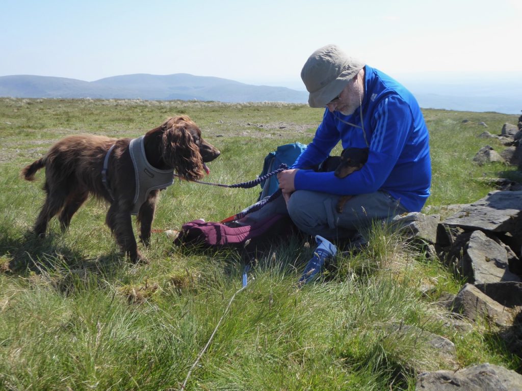
Resting on Benyellary
On the way down, the light was different. Not quite the golden hour before sunset, but enough to turn up the saturation and contrast of the hillside greens. Unfortunately my photos didn’t capture the beauty of the colours.
This completed our Raiders: Mossdale to Merrick walk. We had walked a little over 65 miles in total, though had we not been doing ‘there and back’ for each section, and not walked both sides of the River Dee it could have been half the distance. I’ll write a summary of the route as a whole when I have the time. If there is a link here I’ve done it. If not, its not ready yet.
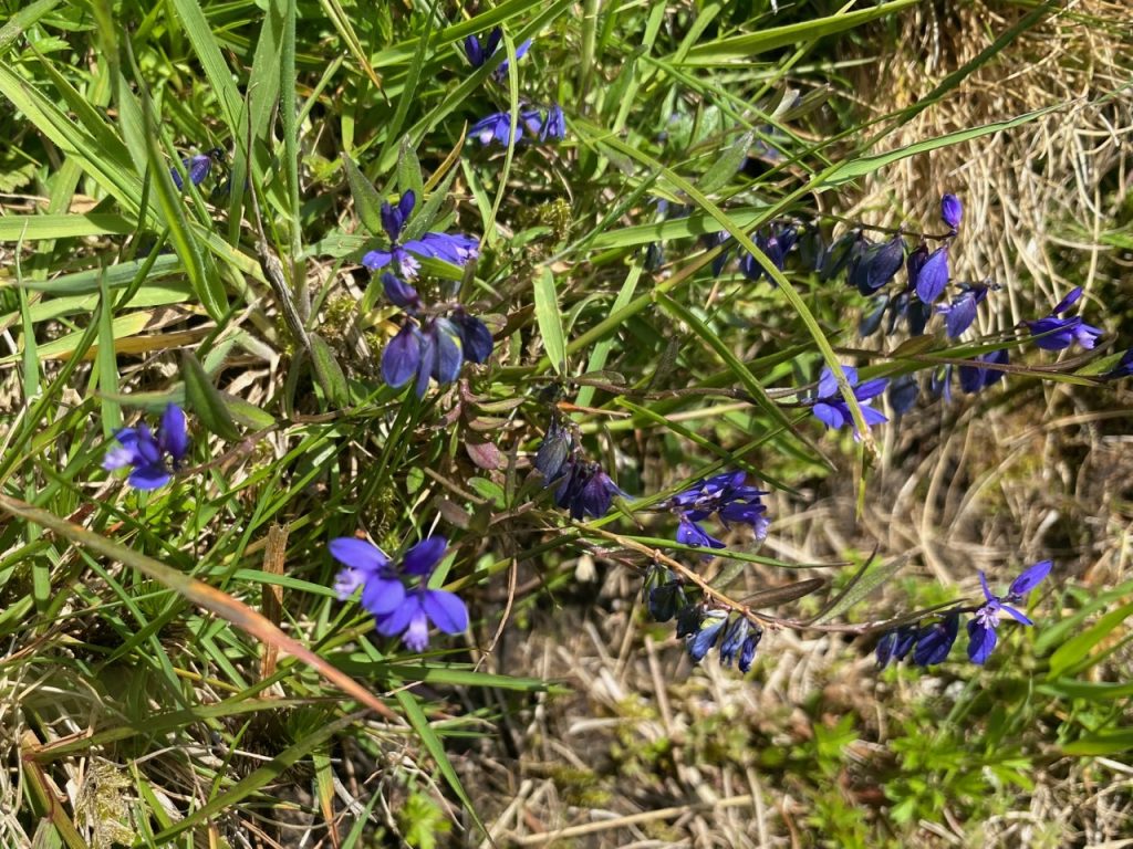
Milkwort

