
10.01 miles 6h 6m 226m ascent
A6 to Youlgreave
Our second day of the Limestone Way was in t-shirt weather. The navigation was mostly straightforward and the going was easier. There were two main uphill stints, at Sough Hill and Lathkill Dale, but most of the walking was downhill or level.
By custom old, in Wirksworth wapentake,
If any of this nation find a rake,
Or sign, or leading to the same, may set,
In any ground, and there lead ore may get.
They may make crosses, holes, and set their stowes,
Sink shafts, build lodges, cottages, or coes;
But churches, houses, gardens, all are free
From this strange custom of the minery.

EDWARD MANLOVE, Steward of the Barghmoot Court, 1653
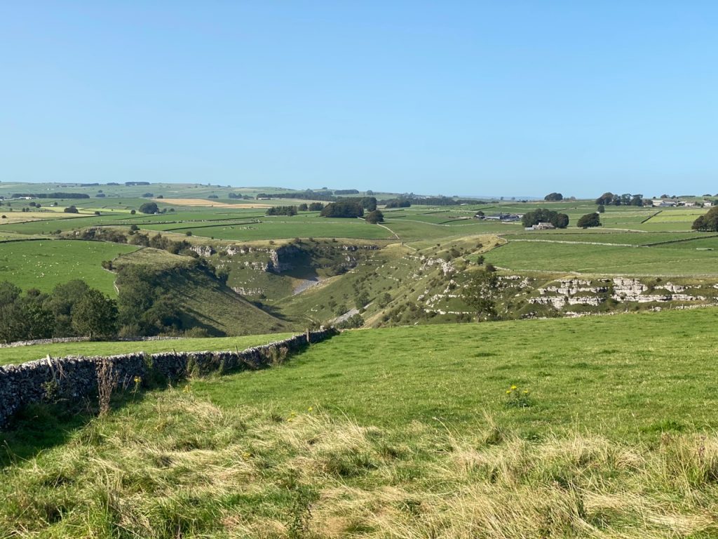
We began with a trudge up the stony path of Sough Lane. This gave us extensive views back to Priestcliffe Hill, and across farmland to a large quarry. The views drew my eyes from the ground and I paid the price, tripping on rocks and executing a parachute roll. My camera swung on its strap and crunched into another rock. I lifted its newly dinted body somewhat anxiously and switched it on. It showed a markedly overexposed image on the screen. Turning it off and on again didn’t help. I wondered if I could compensate using EV correction and found it was actually set to +4. Once reset all was well. I took the picture I had been planning when I fell, sighed with relief, and strode on.
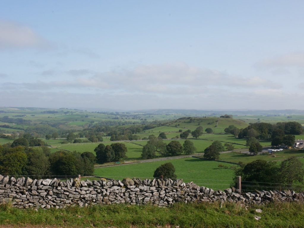
Priestcliffe from Sough Lane
We carried on up the lane, wondering amongst ourselves if Sough was <sow> or <suff>, and what a ‘sough’ might be. I still don’t know how sough is pronounced locally, the global internet lists both pronunciations, but as to its meaning, now I know.
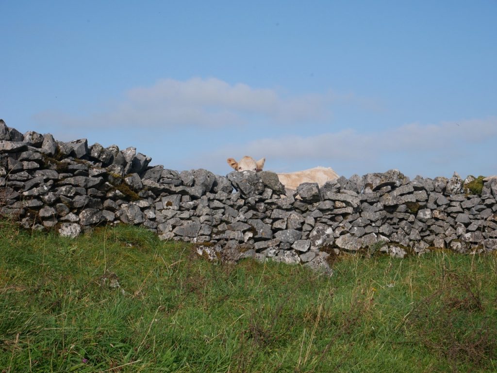
Traditional lead mining in the Peak District was in superficial opencast ‘rakes’, but by the sixteenth century the superficial ore was becoming harder to find and deeper mines became the norm. Soughs were the tunnels dug to drain water from these mine shafts. From medieval times miners were allowed to search for lead ore in the ‘liberties’, meaning anywhere except churchyards, gardens, orchards and highways. They had rights to access, water and space to both mine and dump their waste without regard to the land user’s or owner’s wishes. This probably accounts for the many visible features of lead mining we see to this day. Why this track was called Sough Lane I don’t know. There are mine shafts on the hill above it so perhaps the soughs were dug from the lane?
The steeper section of the lane levelled out to cross Taddington Moor. The gate had a traditional squeeze gap for those who didn’t want to open the gate itself. I lifted the camera, switched it on, and pointed at the gap. The screen went black, then briefly displayed the message “No Charge in Battery”. I had charged it overnight. Oh well. I put it back in my bag and hoped I might just need a new battery. Photos hereafter are from my phone’s camera.
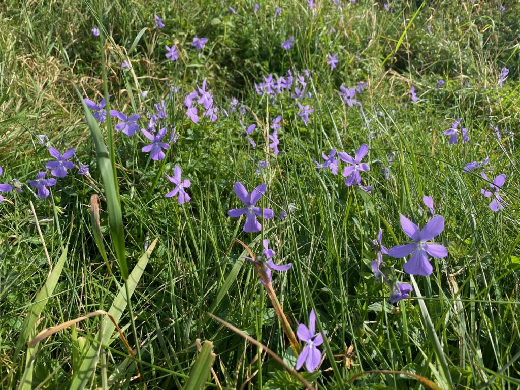
Sough Lane led to Moor Lane then Green Lane, with blue sowthistle and violas in the verges. The lane became a road and we reached the neat stone-built buildings of Flagg. Named as Flagun in the Domesday Book, the area was known for both lead mining and turf cutting and takes its name from the Old Norse for a flag or sod. Flagg was so neat and tidy it seemed unreal. Like a film set or a village of outsiders pretending to be locals. It has certainly had money spent on it. The Peak Dry Stone Walling Contest used to be held in Flagg and it was said that walls of Jericho would not have fallen if they had been built by those in the contest. Perhaps this explains why the village is in such good nick?
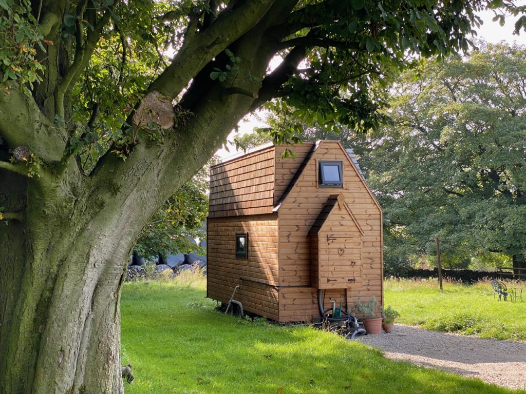
Caravan in Flagg
Flagg has two chapels, one with a sundial looks to be a private house now, while the other is a Methodist Chapel. We walked by a ‘farm’ on Main Street that had us pondering, guarded as it was by a substantial electronic gate and security cameras on poles. Not a farm, then but what? Most places are labelled on Google maps. This isn’t.
I showed a puerile streak posing for a photo on Mycock Lane. The My- of Mycock is a diminutive of Mayhew, a form of Matthew, and the -cock is the same suffix as in Hitchcock and Wilcox, carrying much the same meaning as the “me old cock-sparra” you might hear from Dick van Dyke in Mary Poppins. (That allusion should have the crinklies nodding and leave the young perplexed).
We paused to consider astroturf laid on the road and leading up a lane. For horses, according to Audrey. A track then to took us towards Knotlow Farm, where we walked wondering why a fire extinguisher was mounted on the fence by newly mown grass. Where we left the track a path had been mown across the fields to guide us. But the way onto Blackwell Lane was overgrown and could have been easily missed if were we not looking out for it.
We stopped for a water break in the shade of a small wood where the lane curved slightly. The wood had grown around an old mine, its shaft covered with a grille and a sign reading “Whalf Mine Climbing Shaft. Reopened by Members Crewe Climbing & Potholing Club Jan/Mar 1998”.
Whalf Mine 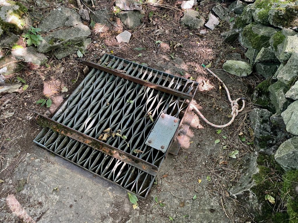
Monyash was our next stop. We (well, 2/3 of us) ate ice cream on the village green in the shade of trees that were planted in 1910 to celebrate the coronation of George V. The village cross is from an earlier time, dating back to at least 1340. Its base is pitted where lead miners tested their drills after they had them sharpened at the smithy. And that smithy is now the Old Smithy tearooms, the source of our ice-cream. The War Memorial is unusual in including the names of two women, “Sisters H Millington and C Rees”. Nurses, I presume. And an even more modern addition, the village’s red telephone box, has been repurposed as a library.
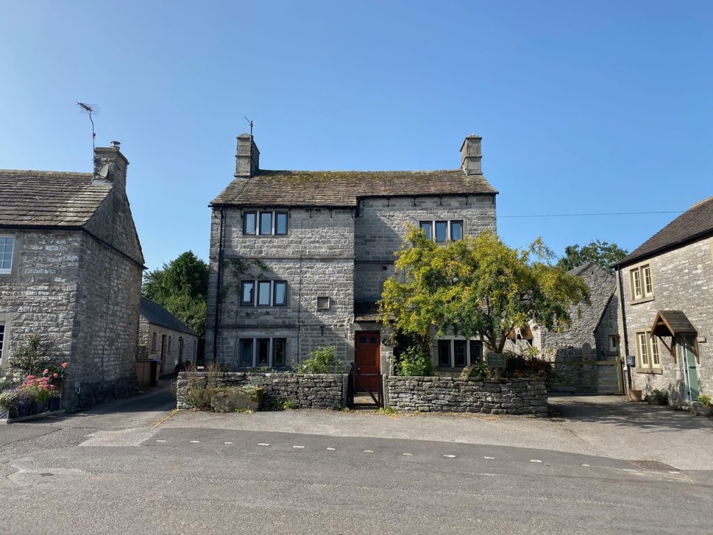
Monyash
Standing water is unusual where land rests on porous rock such as limestone. But Monyash, sits on a narrow layer of clay laid, down in the last ice-age. The village once many ponds. Its name comes from the Old English ‘Mane’ and ‘Eas’, meaning many waters. Of the five meres it once had, only Fere Mere remains.
After our rest we left Monyash on Rakes Road, though hoping our journey would be to Rocester rather than Bedlam. A ‘ rake ‘ hereabouts is a horizontal vein of lead, not a person of dissolute habits. We soon parted company with the road to head along a gently rising track. One of its walls was partially dismantled, mid-repair, and surprisingly wide at its base. The track soon gave way to moorland and we stopped for lunch at a bench just past Fern Dale. We were tempted to climb the wall here, a way was provided and a signpost ‘footpath’ pointed that way. The limestone way, however continues straight on to One-Ash Grange Farm.
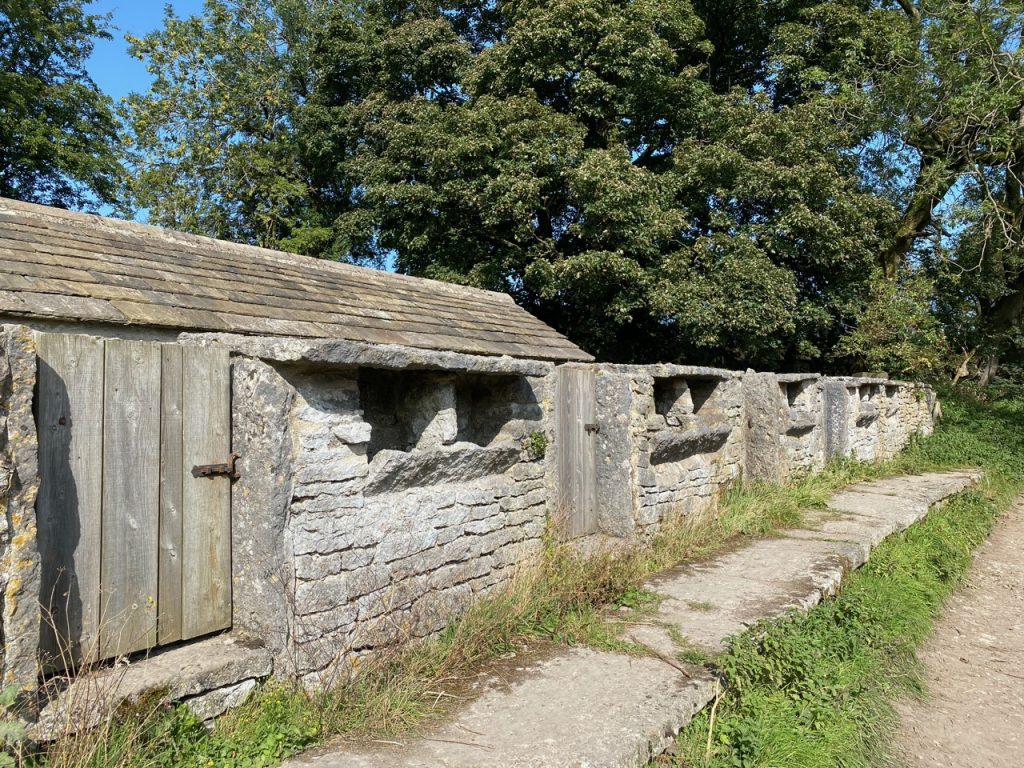
One Ash Farm
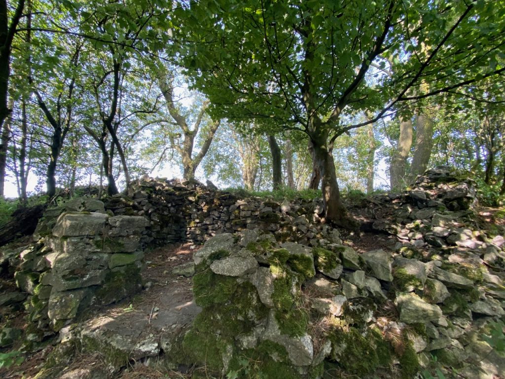
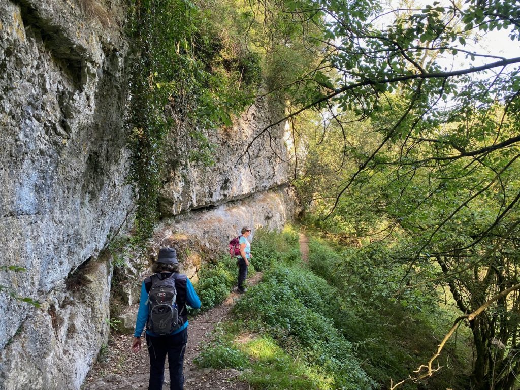
At the farm we passed a structure I recognised as an old-style pig sty, having played in similar structures as a child, and a cave, which inside had a nativity scene. Not what I expected. The path then dropped down into Lathkill Dale with its tall limestone cliffs. The climb up the other side had innumerable steps (I actually mean many and I didn’t even consider counting them). Some had quite high risers and I was glad to be going up them rather than down. Once up we had some excellent views along the dale, giving us a good excuse to stop and our breath back as we trudged up to Calling Low.
Rathkill Dale
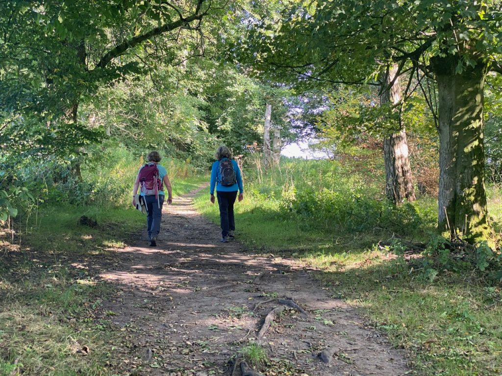
The Way took us through Low Moor Wood, “A 50th Anniversary Woodland 1951-2001”. A pretty place, warm yet shaded. Coming into Youlgreave we walked by some very large houses then down Lomber Dale, with its deep limestone walls yet no visible waterway at its base. We wondered how it had formed. Too small for a glacier. Ancient meltwaters perhaps? Then the penny dropped. Its water ran in subterranean channels. The Dale had formed when those channels collapsed.
Low Moor Wood
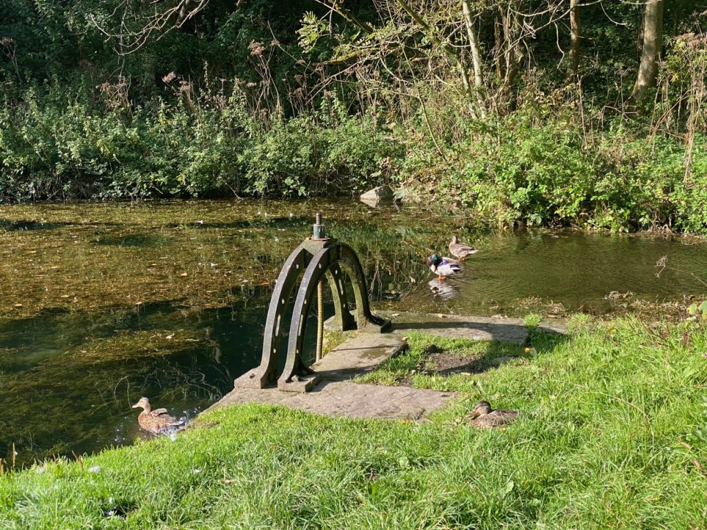
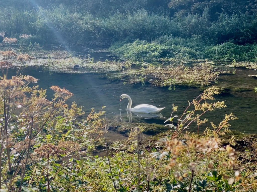
The final leg of the stage was a stroll along the banks of the River Bradford, which we crossed on a couple of age-old stone footbridges. The river has several weirs with gates to control flow but these do not look to have been used in years. The riverside was a relaxing stroll, with alternating sunshine and shade, quiet but for the murmur of water coursing by the weirs. Ducks dipped their heads in the water, a heron stood statue-still and a swan glided by unconcerned that we stood watching. Jove, bring me more such afternoons as this.
I had bruised my toe coming down Lathgill, and it began to intrude on my enjoyment towards the end of the day, but the riverside had been almost perfect. Even so I was happy to reach the car at Mawstone Lane and get my boots off.
It had been a good day’s walking, mostly downhill and what uphill there was had been in just two short sections. We had seen picturesque villages and historic artefacts, tumuli and mines, trees and hedgerows. We had walked in moorland, fields and beautiful dales. We had timed our breaks well, stayed on the correct route and finished with a relaxing riverside stroll. And we absolutely did not steal any ore.
For stealing ore twice from the minery,
The thief that's taken fined twice shall be;
But the third time that he commits such theft,
Shall have a knife stuck through his hand to the haft
Into the stow, and there till death shall stand,
Or loose himself by cutting loose his hand.

EDWARD MANLOVE Steward of the Barghmoot Court, 1653
Lathkill Dale
[sgpx gpx=https://www.screel.co.uk/walks/wp-content/uploads/2020/09/RK_gpx-_2020-09-17_1026.gpx]
