
7.1 miles 3h 10m ascent 82m
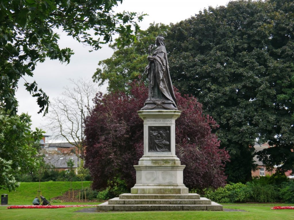
Queen Victoria in Carlisle
Carlisle-Scotby-Wetheral
Continuing our Eden Way Walk. Picking up in Carlisle, downstream of which we have walked both banks of the Eden, on the Hadrian’s Wall trail (south bank) and the Cumbrian Coastal Way (north bank), we walked the section between Carlisle and Wetherby. This follows the river for three miles or so then heads across country to find the Eden again at Wetheral.
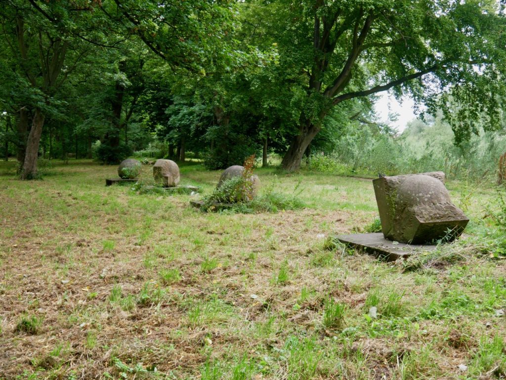
Toward the Sea – Eden Benchmarks
We started this section in Bitts Park, parking near the statue of Queen Victoria and walking downstream to the Eden Benchmarks which seemed a reasonable ‘start’ to this section. This piece, titled “Toward the Sea” is by Hideo Furuta, the website’s description reads:
The four components of this sculpture are manifestations of the sculptor’s intense and mathematical explorations of the stone itself and, almost incidentally, describe a sequence of water eroded stone running parallel with the flow of the river nearby.
They seemed more overgrown than when we saw them on our Hadrian’s Wall walk, which led to to look at our photos from 2017. Something has certainly changed. The path used to pass right by the stones and is now a few metres away. I think I prefer them slightly overgrown. It looks more natural.

Walking along the riverbank path we crossed under the A7 bridge, our direction indicated by a sign “Hadrian’s Wall Path”. When we had walked the Hadrian’s Wall Trail in 2017 the Memorial Bridge was closed and the HW path diverted across the Eden on the A7 bridge and through Rickerby Park. So, in a way, walking along the Eden’s bank here we were filling in a last missing section of the HW trail.
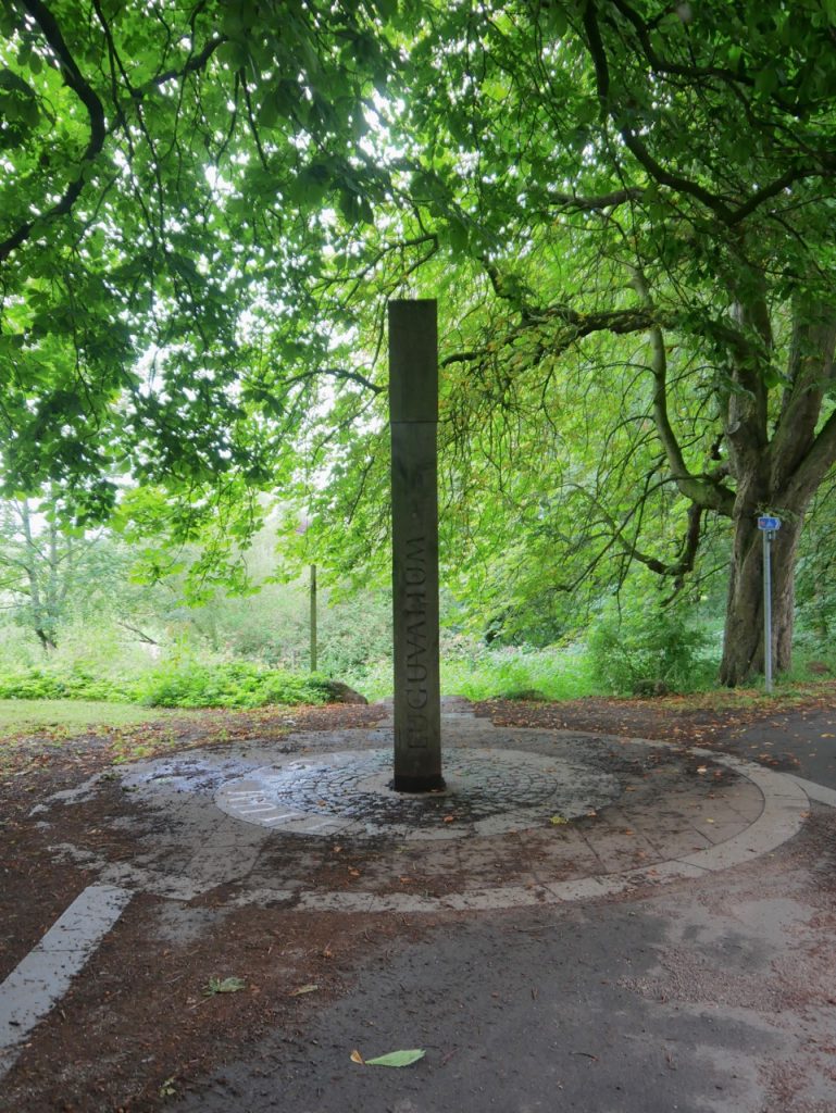
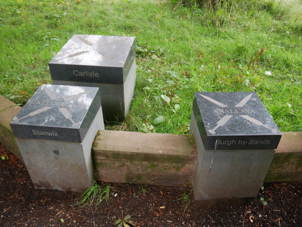
Luguvalium
It’s a shame that the diversion in 2017 hadn’t suggested we walk an extra 100m past the A7 because we had missed a few Hadrian’s Wall associated features. The Luguvalium post seen above and a short winding wall with marble ‘forts’ representing the larger forts on the Wall. But at least we’ve seen them now.
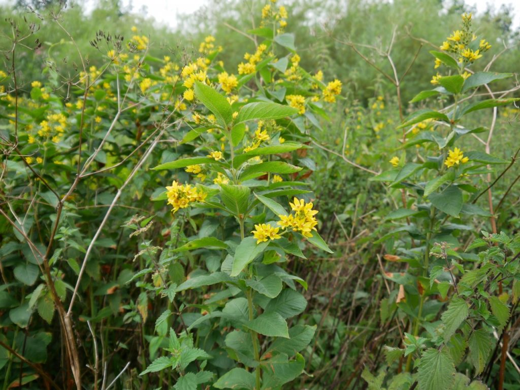
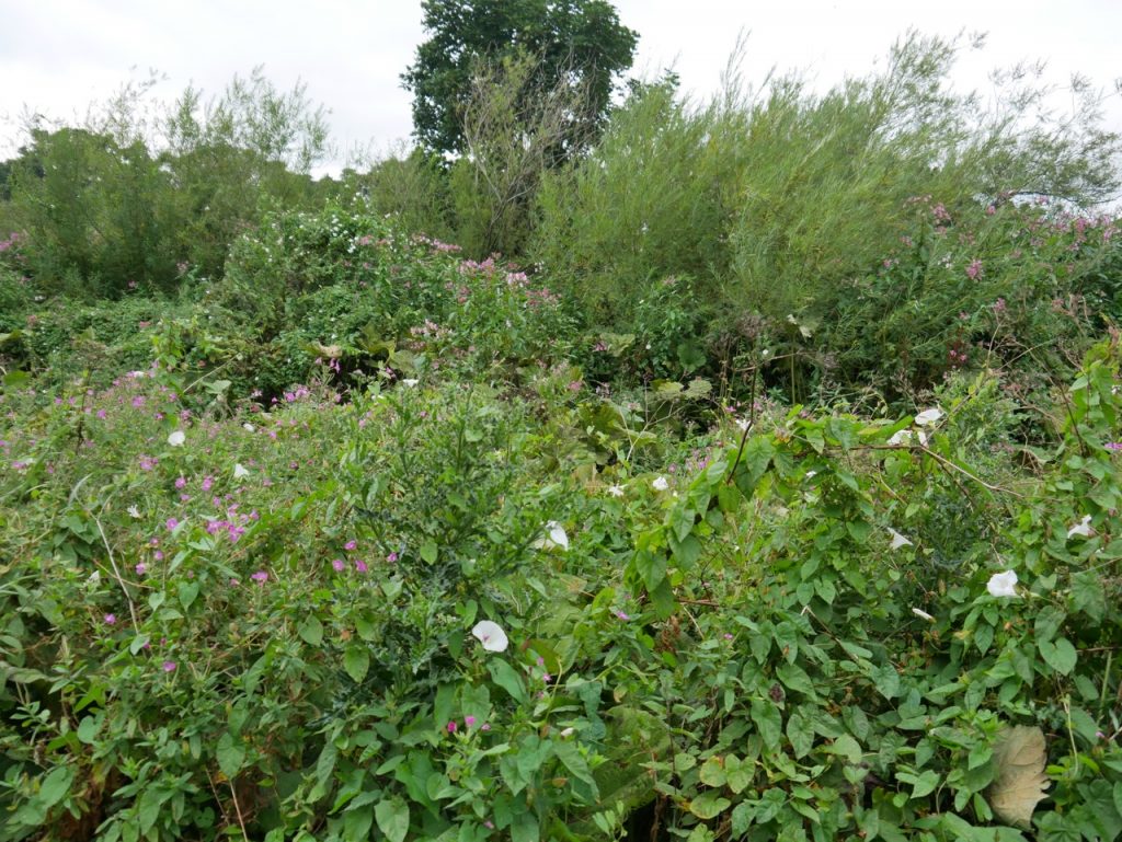
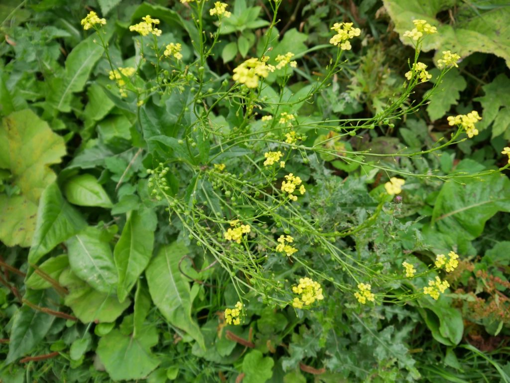
Much of the day’s walk was decorated with hedgerow plants, particularly so along the river. Photos never seem to do them justice. They seem more colourful to the naked eye.
Though we passed a few other walkers, most of the time the route was quiet. Christy found plenty of sticks to carry and we admired the wildflowers. We did meet a dog hiding in the grass, presenting a passable impersonation of a stone. Christy busted sniffed it and moved on. Mabel, of course, made sure we were aware of it – after we’d walked past it.


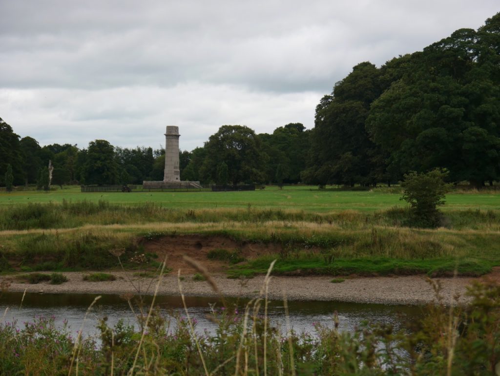
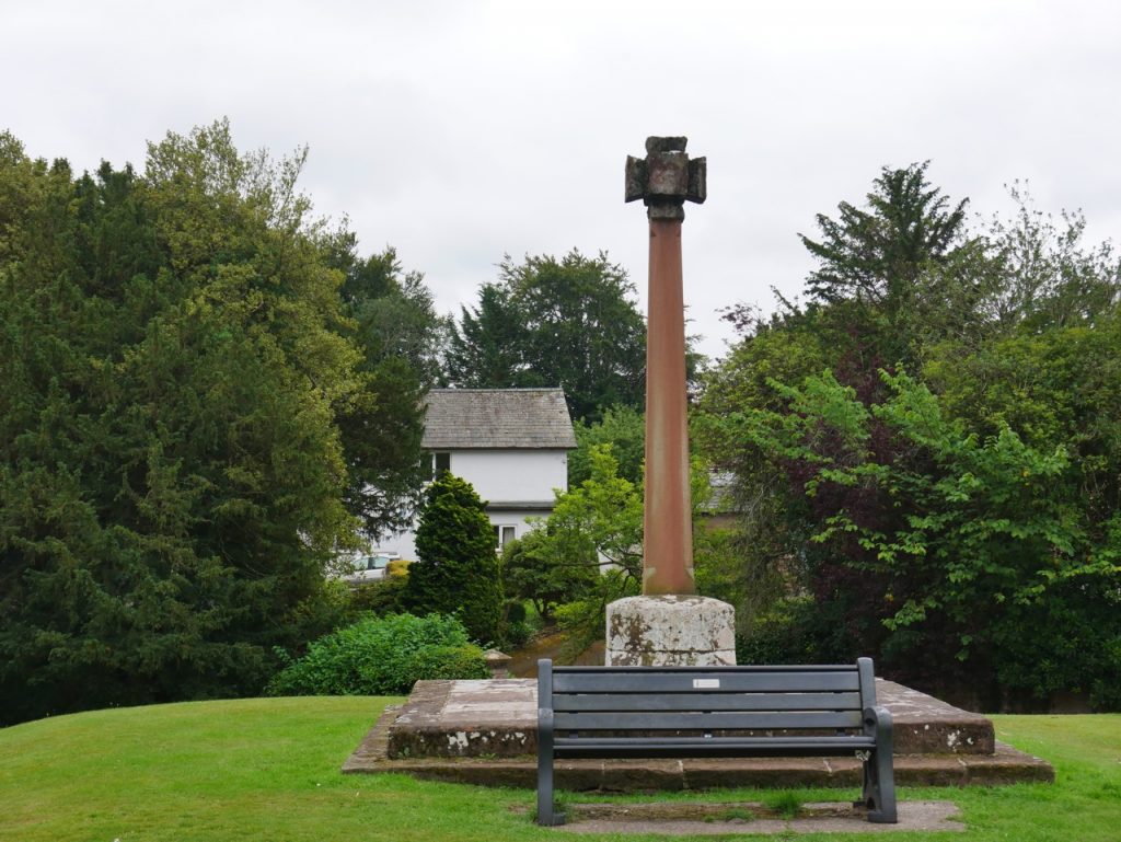
Rickerby Monument
I had a slightly strange experience, looking across the river at the War Memorial in Rickerby park, then a mile or so further along I looked across to see another, very similar, monument. I didn’t recall the park having two monuments. Then the penny dropped. It was the same monument seen from the west and then from the east as we walked around a bend in the Eden. So much for spatial awareness.
The monument in question is the Rickerby Cenotaph, one of three memorials to those lost in WW1; a cenotaph, a memorial garden and a memorial bridge.
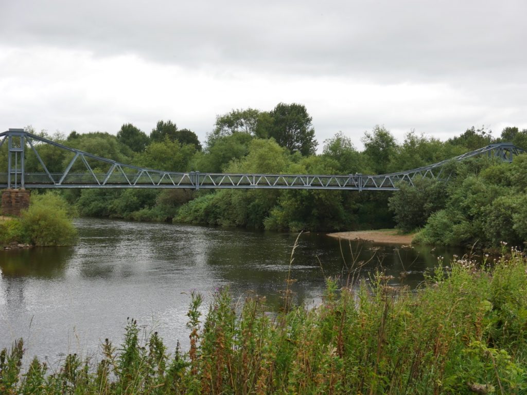
Memorial Bridge
The Memorial Bridge has reopened to pedestrians, and the Hadrian’s Wall Path reverted to its original route. We passed the big bridge and instead took the smaller bridge across the River Petteril, allowing us to continue beside the Eden, skirting a golf course, with signs telling us we must stay on the path. Why would we want to leave the wild hedgerows for the unnatural features of a golf-course?
We crossed another footbridge, this time across a wee beck named the Old Eden, and eventually saw the M6 ahead of us. The motorway’s visual output was somewhat disentangled from its audio output, the sound appearing to come from somewhere to the north. Then a last somewhat rickety bridge, with patches over what I can only presume are holes, crossed Collar Beck. Not far after that we left the river bank to walk along a tree lined lane.
It was then twenty minutes of road walking to take us over the M6 and on to Scotby. Once we were across the busy A69 the roads were quiet and we could walk on pavements.

Railings removed, Scotby
Scotby is a pleasant little village. We almost stopped for lunch at the low wall around All saints Church, but decided to press on a little further. The right decision as it turns out, since there were several benches and a couple of picnic benches on the village green.
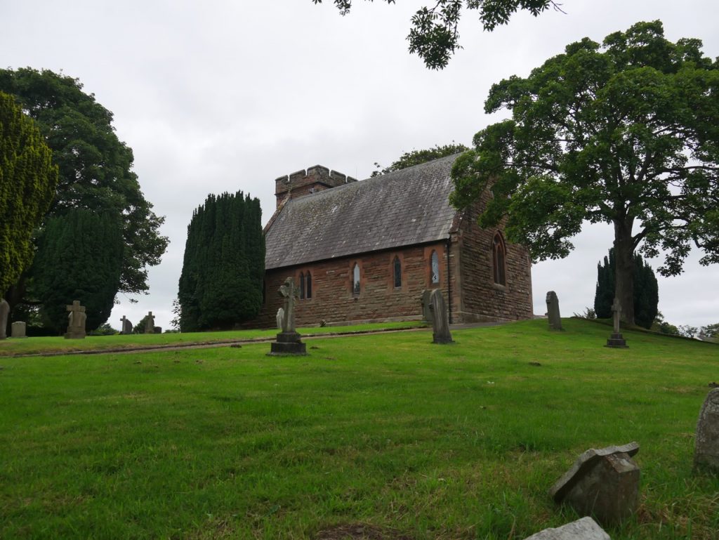
All Saints Church, Scotby
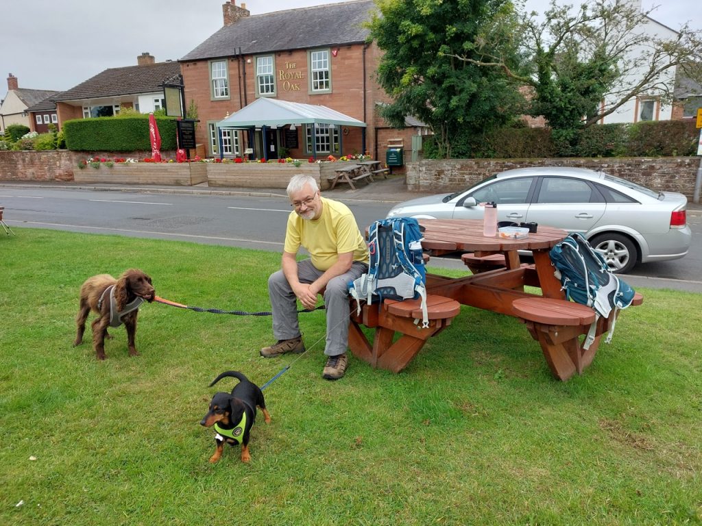
Lunch in Scotby
After lunch we headed out of the village and along Ghyll Road which led to a small path between untidy hedgerows. This took us through Snake Wood, which I didn’t notice, and past the farm of Scotby Shield, which appeared to be having a day off.

Lane near Ghyll road
The Eden Way guidebook mentioned crossing a beck (Pow Maughan) on three pipes. I had imagined three drainpipe-sized pipes stretching across the beck, and us balancing like acrobats as we crossed. It wasn’t quite like that.
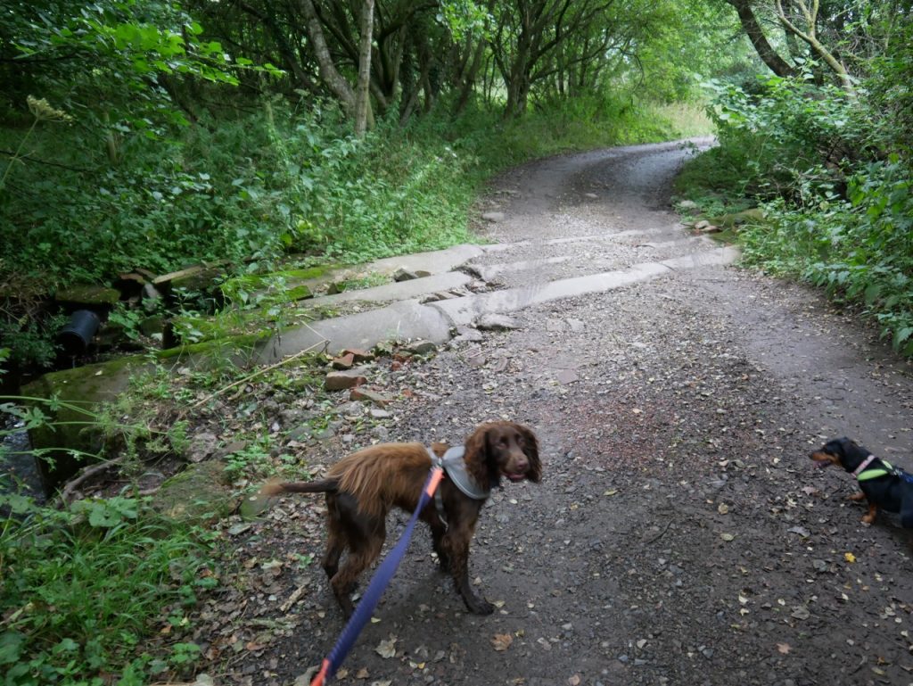
Three Pipes Beck
Our walk finished in Wetheral. I had thought the cross on the village green might be another ancient Anglian/Norse cross. But it isn’t. Nor is it a market cross since this wasn’t a market town. The cross was erected on the site of a previous maypole, in 1844 (some sources say 1838). That said, the head of the cross looks much older than the shaft.
Wetheral Cross
Carlisle: Brittonic Luguwaljon (strength of Lugus), Latin Luguvalium, (fortified town) (fortified town)prefix added and mutated to Caer Liwelydd and lost its -ydd, Cair Luel .
Scotby: Old Norse by, farm, of Scots.
Wetheral : Sheep haugh or low pasture’ OE wether and OE halh.
[sgpx gpx=https://www.screel.co.uk/walks/wp-content/uploads/2021/08/RK_gpx-_2021-08-17_1103.gpx]
