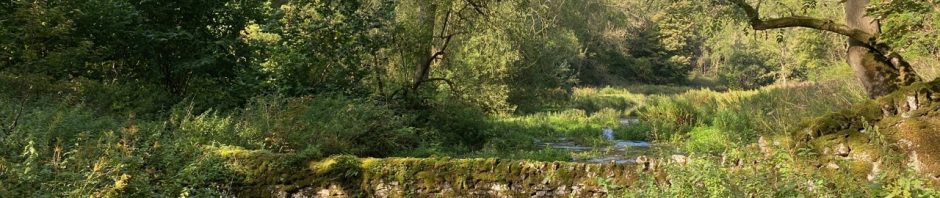
The white limestone rocks of the dales and drystone walls are the remains of a vast tropically warm sea of the Carboniferous period some 330 million years ago. Here, by water and other natural forces, the overlying gritstones and shales have worn away to expose rocks which are the remains of countless millions of tiny creatures which lived in that ocean. These limestone uplands and dales were among the first places to be settled by man and they are rich in prehistoric remains. Today most of the meadowland, except in the gorge-like dales, has been improved for livestock rearing and the sight of herds of black and white dairy cattle is typical of the area.
Limestone Way Walker’s Guide, 2007
– a pedestrians paradise, hitherto innocent of the locomotive’s voice, but now to be opened up for mineral traffic, and for rambles by many a worker in forge, factory, and mill, who knows how to wisely spend his ‘half-holiday’
John Pendleton, from A History of Derbyshire, 1886
A waymarked trail across the limestone plateau of Derbyshire’s White Peak, from Castleton, at the head of the Hope Valley, to Rocester, by the River Dove in Staffordshire. The route covers 46 miles (74 km).
We split the walk over five consecutive days: drow ‘n smirr on the first, glorious weather for the rest!
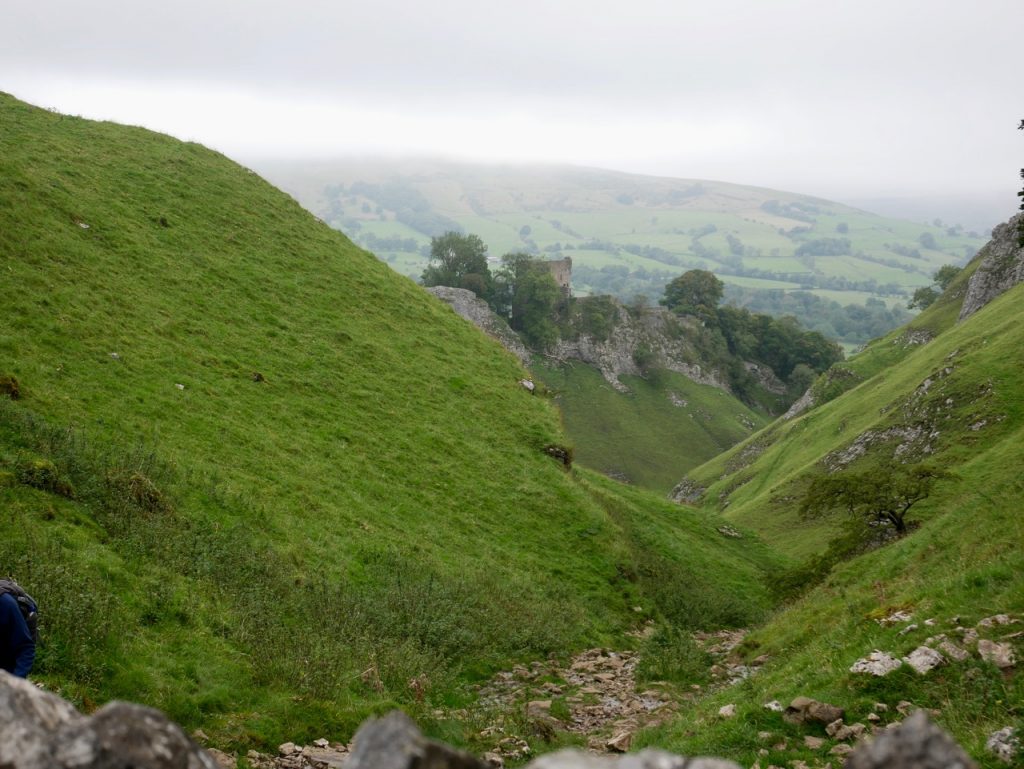
Section 1: Castleton to the A6
10.48 miles 5h 26m 548m ascent
The wild section.
Section 2: A6 to Youlgreave
10.01 miles 6h 6m 226m ascent
The pretty section
Section 3: Youlgreave to Grangemill
9.13 miles 6h 19m 378m ascent
The ancient times section
Section 4: Grangemill to Thorpe
9.35 miles 6h 44m 376m ascent
The fields and gaps section
Section 5: Thorpe to Rocester
10.13 miles 6h 58m 274m ascent
The Staffordshire section
Maps and Guides: Derbyshire Dales District Council have produced an excellent Limestone Way Walker’s Guide. I spent £3.70 on a hard copy but with a little effort it can be downloaded for free. I would not rely on the guide alone. Nor for that matter can you rely solely on the waymarkers and signposts. We took along OS 1:25k maps. OL1, OL24 and 259 cover the full trail. They are too big to be opened when walking and are printed on both sides of their paper so have to be refolded during a day’s walk. I find it irritating turning a huge map inside-out during a walk but I suppose I’m stuck with it until I convert to using OS maps on my phone.
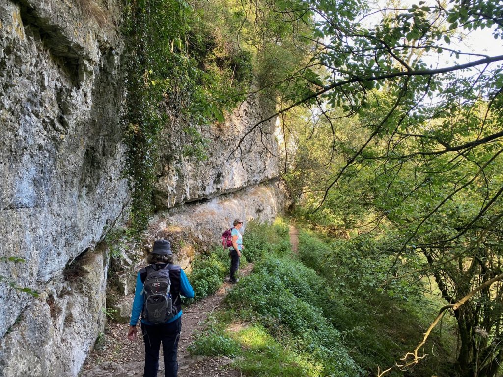
Broken bits: We found some stiles broken, some wobbly and some overgrown. There were several poorly insulated electric fences to cross and we were sometimes faced with fields containing cows and calves. Some waymarker posts and signposts had fallen over. I think much of this could be down to limited maintenance and reduced use during the recent lockdowns.
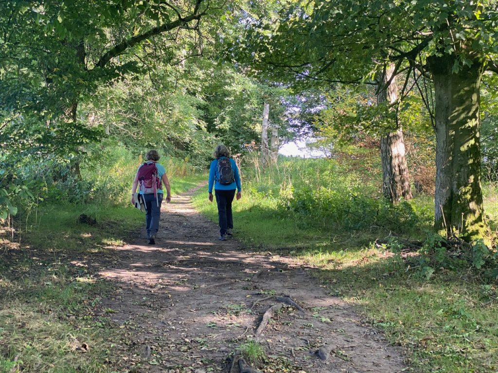
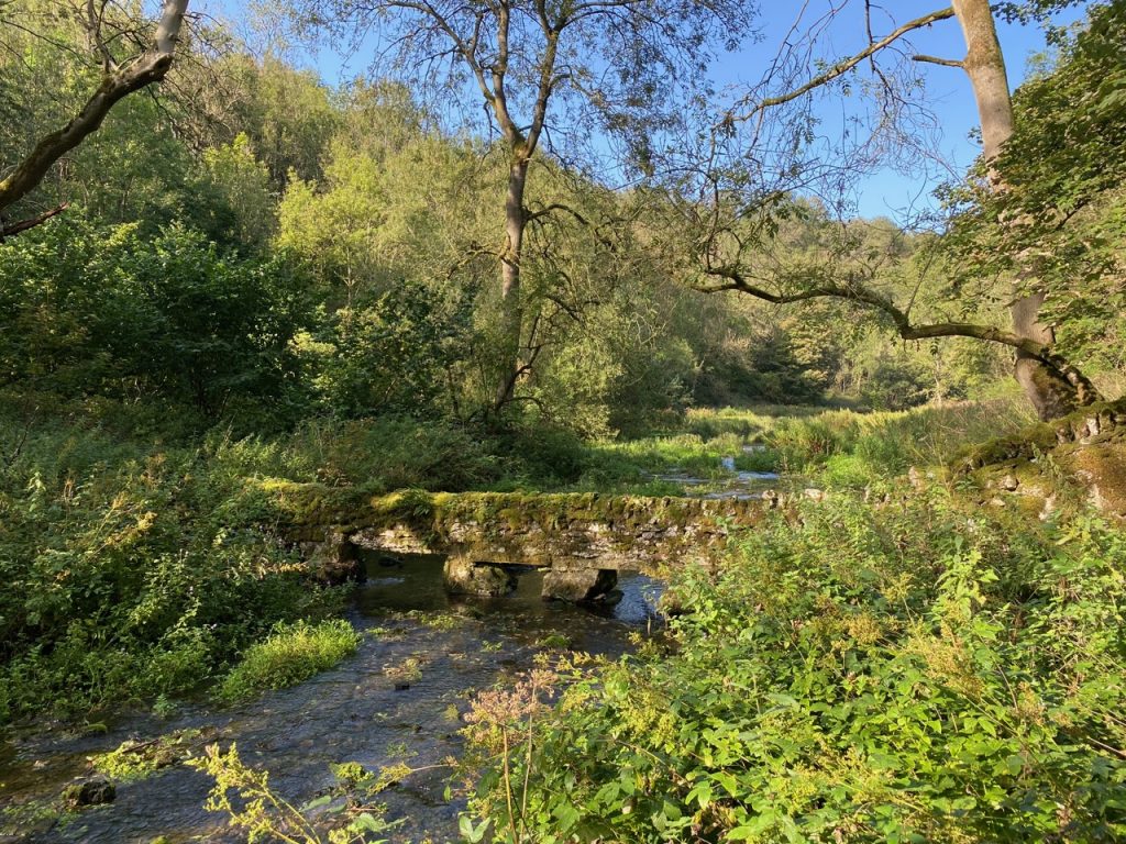
Terrain etc.: The trail’s official distance is 46 miles, and our GPS measured distance (once we had stripped out the off-trail walking) was pretty close at 47.7 miles. There is not any particularly difficult terrain and I found it a nice change to walk over well drained land. Under normal circumstances the route would have lent itself to pub-lunches, but pandemic considerations meant we took sandwiches. The dogs didn’t come on this walk but: there were plenty of stiles to cross and only one with a dog run; dogs would need help with many of the squeeze gaps; lots of livestock (often close up); and there is not much water lying about.
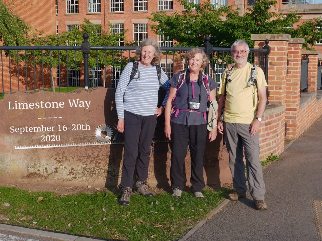
Limestone Way: September 2020
And no walk would be complete without a spot of local verse…
THE PARSON'S TORR

The parson of Monyash, late one eve,
Sat in his old oak armchair;
And a playful flame in the low turf fire
Ofttimes shewed him sitting there.

What was it that made the kind-hearted man
Sit pensively there alone?
Did other men's sorrows make sad his heart,
Or say — a glimpse of his own?

Black dark was that night and stormy withal,
It rained as 'twould rain a sea;
And round and within the old parsonage-house
The wind moaned piteously.

1 Still sat he deep musing till midnight hour,
And then in a waking dream —
He quailed to hear 'mid the tempest a crash,
And eke a wild piercing scream.

" Oh, mercy !" cried he, with faltering breath,
" What sounds are these which I hear?
May evil be far from both me and mine!
Good Lord, be Thou to us near!"

No longer sat he in the old armchair,
But prayed and lay down in bed;
And strove hard to sleep and not hear the storm
That scowled and raged o'er his head.
...
Jump to full poem here
The “Parson’s Torr” describes of the fate of the Rev. Robert Lomas, a former rector of
Monyash. During a perilous night-ride in 1776 he fell over a lofty cliff and was found dead at the foot of the rock.
