8.68 miles 4h 28m ascent 111m
Catrine
River Ayr Way: Greenock Water Bridge-Catrine
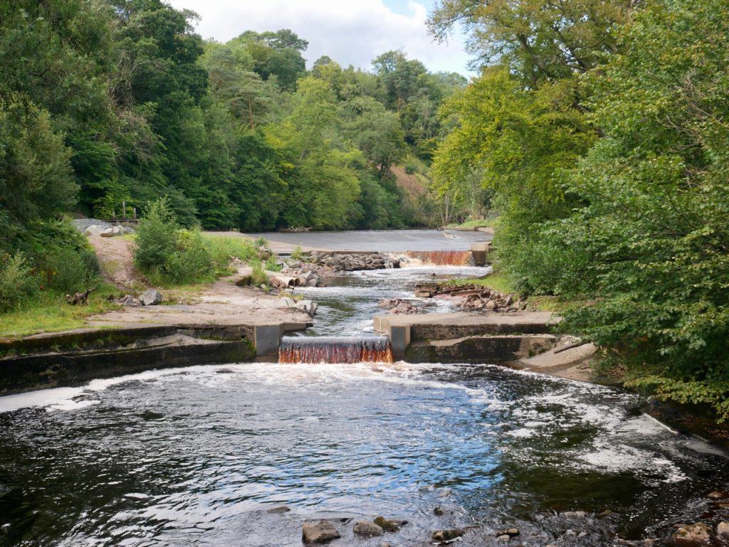
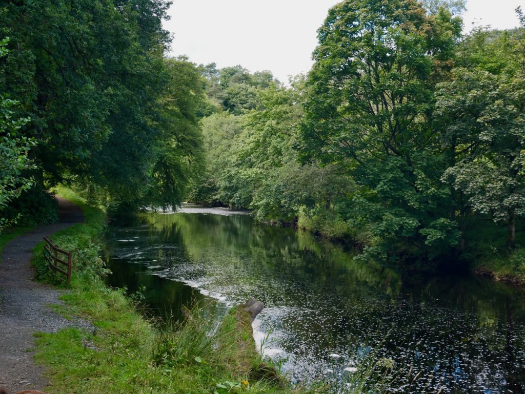
This stage starts at Greenock Water Bridge. We parked on the old bridge then headed down a steep stone stairway and along Greenock Water’s grassy riverbank. Greenock Water and the River Ayr are about the same size where they meet beside a fisherman’s hide. It would be a great place to take a break but we had been walking for less than five minutes so we only paused for a moment to admire the view. The riverside path was now less used, and the grass, longer and wet from the previous day’s rain, soon soaked our boots and trousers.
River Ayr
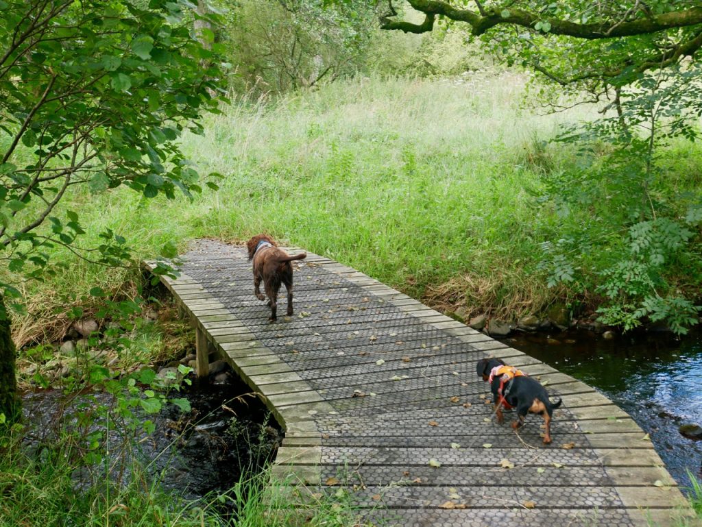
There is a bridge at Whitehaugh Water and I was expecting it to be like that at Aird’s Moss and was ready to carry Mabel over. But instead we found a sturdy metal bridge. Unfortunately its grille floor proved difficult for the dogs. Audrey carried the dachshund and I manhandled the squirming spaniel, who isn’t used to being carried.
Trees lined the riverbank, bracken leant across the path and brambles caught at unwary limbs. We passed the “Fisherman’s Bridge” and I for one was happy that we didn’t need to cross it. A hermit at the far side, asking the airspeed velocity of an unladen swallow, wouldn’t have been out of place.
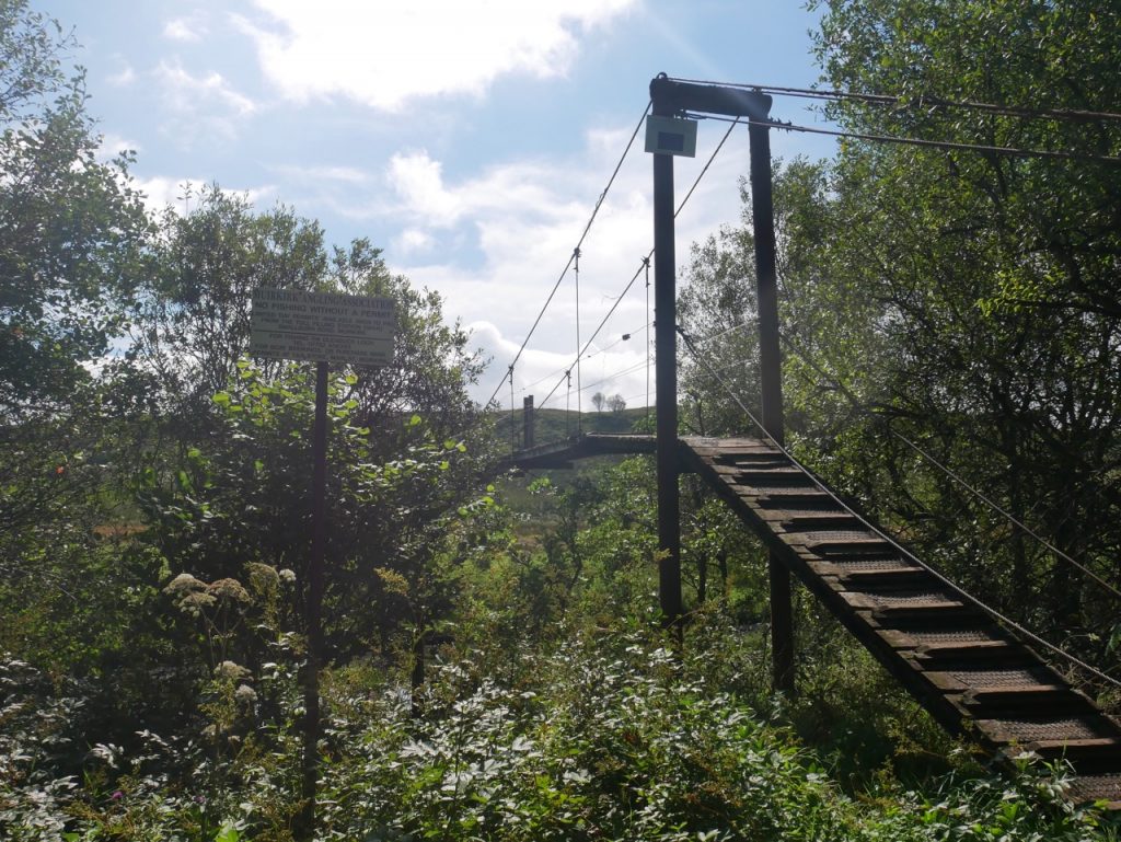
Fisherman’s Bridge – we didn’t need to use it
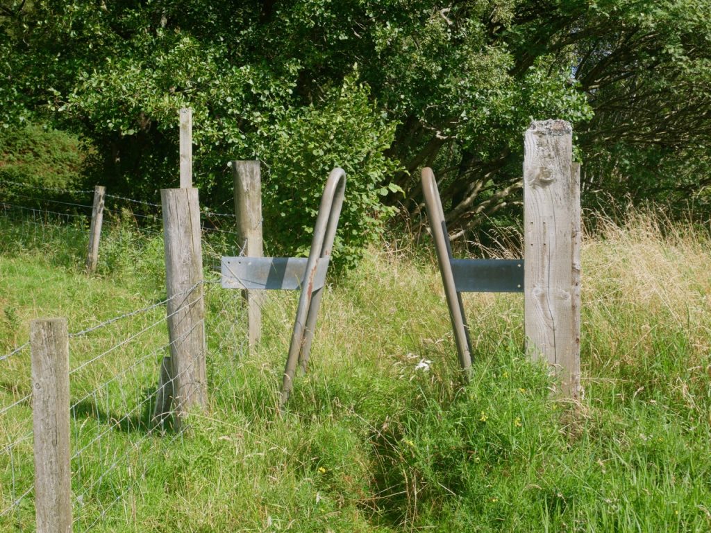
We came to a strange barrier with inward leaning metal bars. I can’t work out what it is supposed to achieve. It was not in a place where vehicles could reach it. An anti-bariatric barrier, perhaps? There were a couple more later on the walk. You might notice on the photo below that one could easily walk around it.
We passed stands of purple (or are they pink?) scabious, but then, by West Braes, the riverside path disappeared. About 50 metres of the path have fallen into the river, but there are stiles across the barbed wire into an adjacent field. We helped the dogs over, and a word of warning to those who might follow us. The lower step is unstable. The second stile had a dog hole we could coax the canines through.
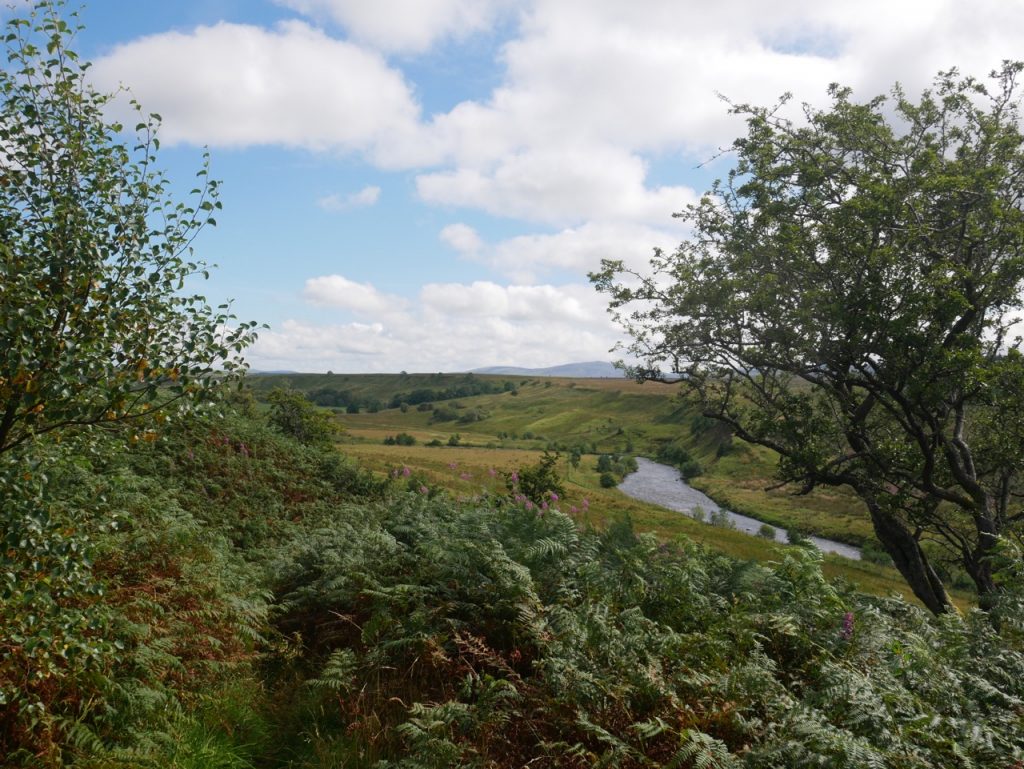
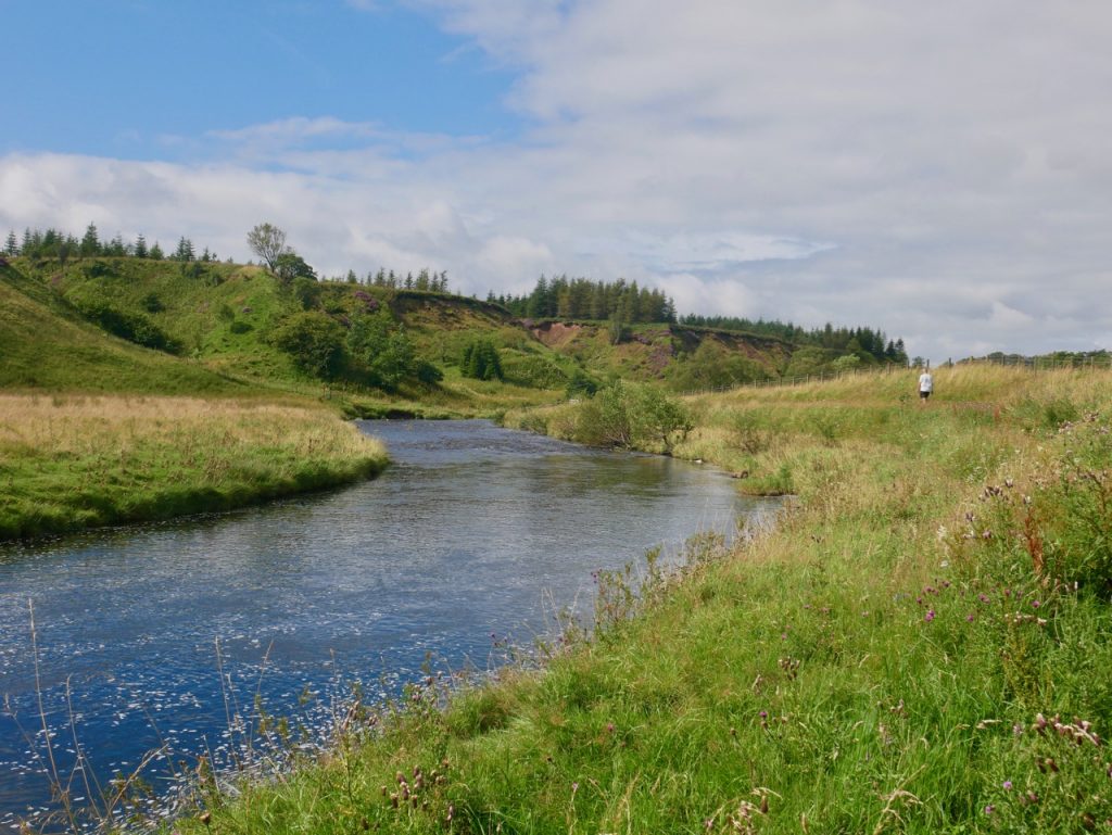
River Ayr from the climb to Crook Moss
The path heads up a steep bank away from the river. The wee dachshund made it up easily but I felt the need to ‘admire the view’ as I climbed the waterlogged muddy slope. It was only as I watched Mabel jumping ahead of me that I realised there were steps amongst the mud. We would have slid down without them. At the top is a heather covered moor, Crook Moss. While we were still getting our breath back, the dogs, full of energy, bounced excitedly through the heather.
Soon though we were corralled through the long wet grass of a little used path, a steep slope on one side, a deer fence on the other. My trousers were now soaked to the thighs.
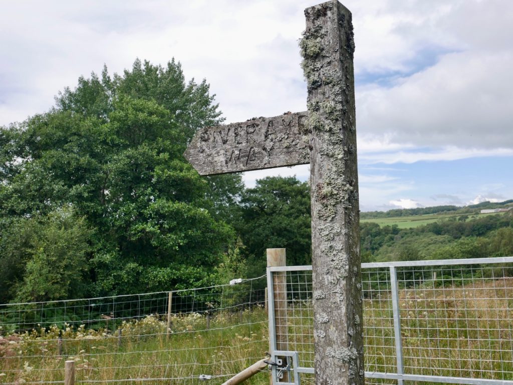
When the path turned back towards the river, the deer fence ended and we passed through a couple of kissing gates at an overgrown track. A lichen covered signpost “River Ayr Way” pointed downhill. I had wondered if that track was the way we should have come, but the map shows it is just a track crossing the River Ayr Way.
The river was now noticeably wider, with tilted rock strata above the surface and a riverbank of mature trees. We crossed Merkland Burn on a wee footbridge and followed the overgrown path through woodland and away from the river. A wooden retaining wall gave us a place to take a break. In drier weather it would be a good place to sit.
Merkland Burn
The path winds around a hill, topped on the OS map by a motte and bailey. The slope is steep in places, but a wooden walkway makes the contouring easy. We could see nothing from the path to suggest the presence of a castle.
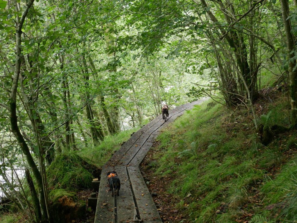
There is another footbridge, over Wyndy Burn, then a section beside a large barley field, the path grassy at first but overgrown with gunnera in places. The dogs rushed along underneath it, but we had to take care on the uneven ground hidden below it.

The path
After the barley we climbed up away from the river for a third time. Something here really spooked Christy. All I could see was an empty hillside with short grass and scattered ragweed, but he definitely wanted to warn us about something. I’ve not seen him like that before. Presumably he caught a worrying scent. We walked on, alert for a danger that never materialised.
After a field of cows, type unknown, we reached a wide bend in the river, the far bank rising sheer from the water. We had passed several anglers but were lucky enough to find an unoccupied bench on the grassy riverbank here. A great spot for lunch. Where the water was clear it reflected the far bank like a mosaic, but unfortunately foam covered much of the surface. I thought this was pollution, but after a bit of googling I know better. Decomposing organic matter such as algae or leaves reduce surface tension allowing bubbles to form.
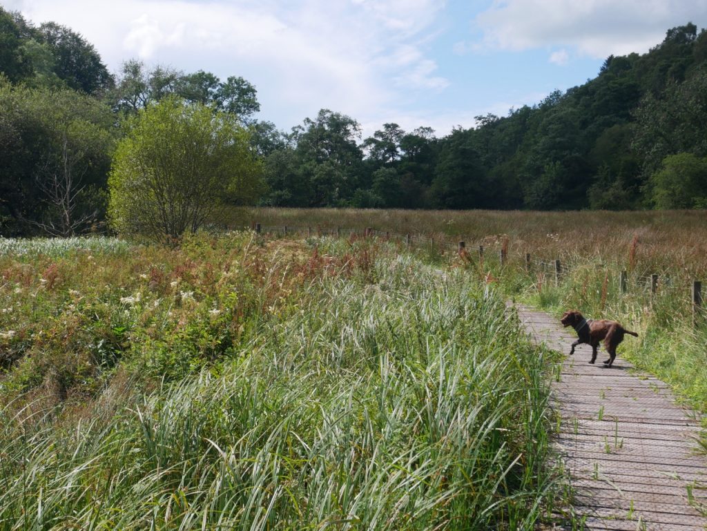
After lunch we continued along the riverbank. A wooden walkway kept us out of the boggy ground where reeds replaced the grass. From there a well defined path climbed through woodland up to Sorn village. At one point we had to choose a route when we came to a fork in the path. I wished there had been some indication which we should take, but some careful examination of the fence, Sherlock/CSI style, suggested it had originally spanned the gap. So we took the path more travelled, following the fence rather than straying back towards the river. This took us further away from the river, and just as I was beginning to worry we had chosen wrongly we found a River Ayr Way marker and a gate that took us out of the trees and into sunshine on the B743.
We were just outside Sorn, an award winning village according to the road-sign. It is certainly a pretty village, with tidy gardens, community flowerbeds, a memorial bench commemorating WW1 and village pump that I felt obliged to try. (It doesn’t work). We strode past Sorn Inn, me wishing it had a beer garden, and on to the Parish Church to grimace at its jougs. These are hinged iron collars used in medieval times to shackle sinners. [“grimacing at jougs” – in retrospect that should have been the title.]
While googling the Sorn Inn, hoping to find some juicy history or perhaps a mention in the bard’s musings, I found it was runner-up in the “Scotland’s most dog-friendly pub” competition (coming 2nd), so perhaps we should have called in for a couple of ginger beers and a bowl of water. It’s not the same Sorn Inn referred to as Auld Nance Tinnock’s in “The Author’s Earnest Cry And Prayer”. That one is in Mauchline.
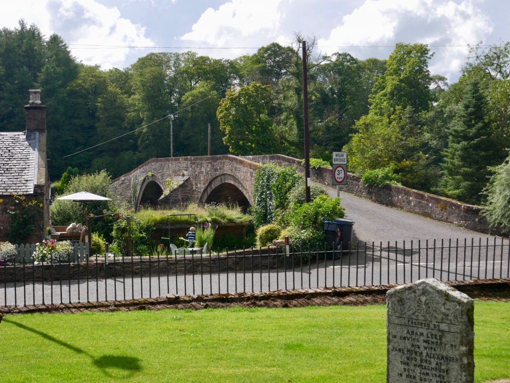
Sorn Old Bridge
The Old Sorn Bridge took us across the river, where a black cocker spaniel came bounding out of a garden excited to meet some other dogs. I thought we might need to walk back with him but he was called back home, and, sniffing completed, he left us tail wagging still. A River Ayr Way sign directed us off the road, along along a woodland path and down to the riverside. I was disappointed to find that Sorn Castle looked more wedding-venue than defensible structure.
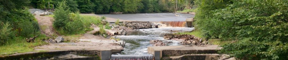
River Ayr at Catrine
Easy walking on a riverside path took us around the grounds of Daldorch House and into Catrine. A tiny village with one miller and one blacksmith before its cotton twist mill was built, Catrine grew to a town of over 2000 workers. The weir (shown in the photo at the top of the post) with its adjacent reservoirs, were built in 1787 to power the mill and at the time represented the world’s largest power generation scheme. The mill is now long gone and its reservoirs, the Catrine Voes, have swapped their industrial role for conservation. They are now a nature reserve.
(Voe was a new word for me. Of norse origin, it means inlet or bay. There are several voes in Shetland but how Catrine’s man-made waterways came to be called voes, I don’t know.)
A covered footbridge took us across the river near the weir and its salmon ladder. Old workers dwellings line St Cuthbert Street opposite the voes. Some are derelict while others have been renovated into mews. Following the road, we came back to the river and turned down Ayr Street. A small memorial garden caught my eye. It had been an overgrown patch of weeds when google street view passed this way in 2009 but now there is mown grass, a chimney-shaped memorial and painted iron railings with circular flower motifs. Presumably it is a WW1 centenary memorial.
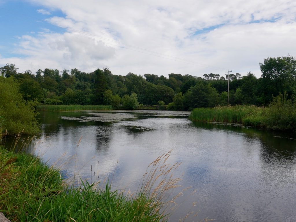
Catrine Voes
Ayr Street brought us to St Germain Street and then to Mill Square. The square is where the original cotton mill had stood and a sculpture representing a water-wheel recalls the square’s heritage. There is also a commemorative WW1 bench similar to that in Sorn. The orinal war memorial stands on a hill by Chapel Brae.
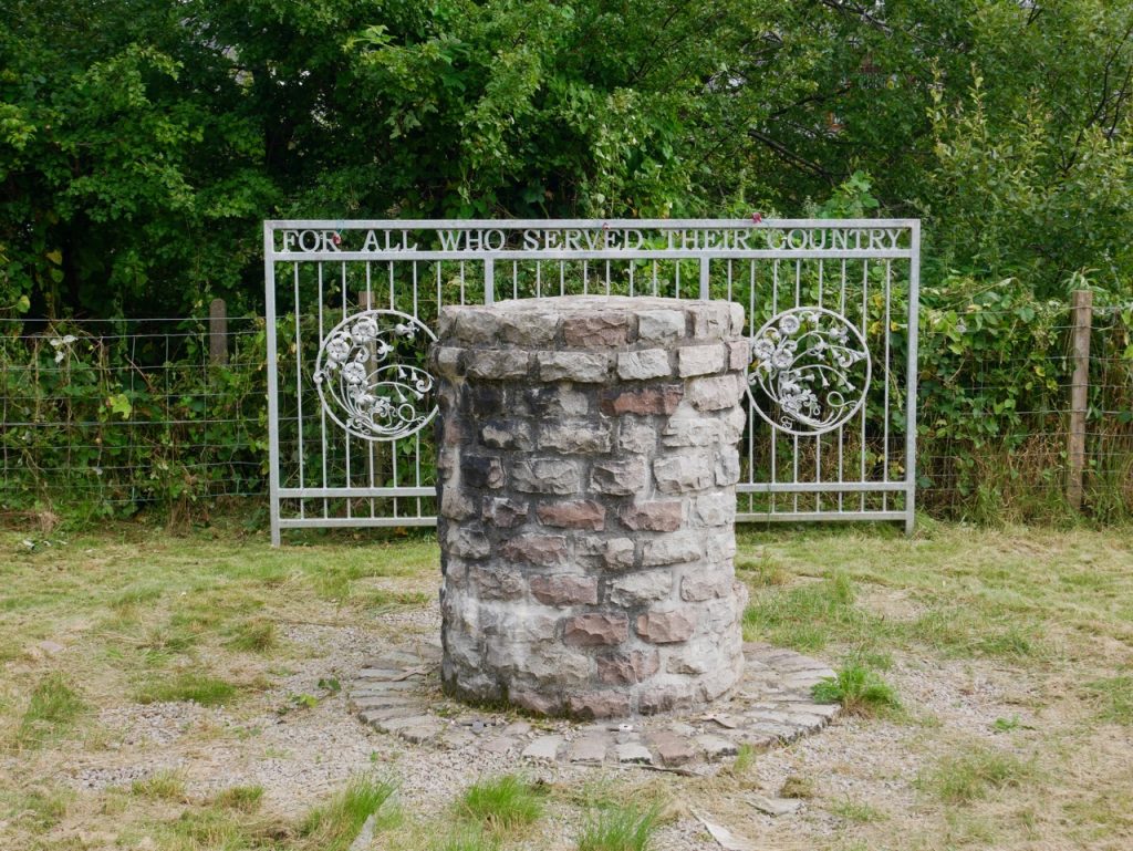
Catrine Memorial Garden
Catrine’s original streets were Mill Street, St Cuthbert Street, Ayr Street, Wood Street, St. Germain Street and Ford Street, Chapel Street, Cornmill Street, Mull Mull Street and Chapel Brae. These are still here today, and indeed we had walked along three of them. Some of the names have an obvious origin, but I am left wondering about “Mull Mull Street”, and how St Germain, a sixth century Parisian, and St Cuthbert, a seventh century Northumbrian, came to be chosen as streetnames in Catrine?
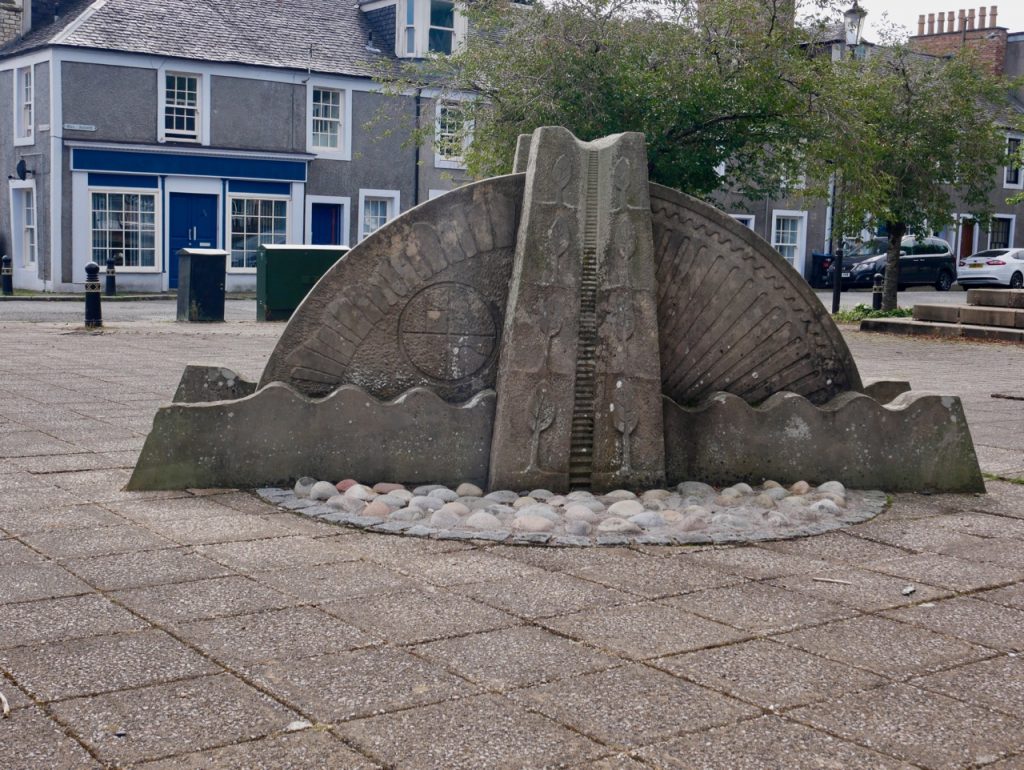
Mill Square, Catrine
[sgpx gpx=https://www.screel.co.uk/walks/wp-content/uploads/2020/08/RK_gpx-_2020-08-19_1105.gpx]
