
7.50 miles 4h 25m ascent 310m
Cairnryan-Glenapp-Finnart’s Bay
The final leg of the Mull of Galloway Trail took us along the Loch Ryan Coastal Path to Glenapp and from there we walked on to Finnarts Bay.
The name Glenapp might have arisen from LachtAlpin, (Grave of Alpin) named for Alpin mac Echdach, a ninth century King of Dalriada who was assassinated nearby. Laight Moor over which we would walk means Grave Moor, and the Taxing Stone on that moor is said to mark the king’s grave.
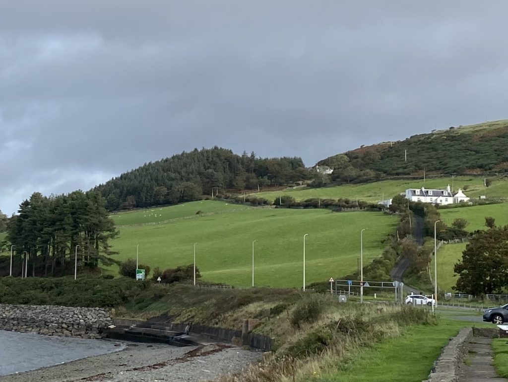
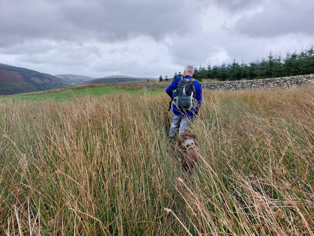
We began our walk with a gentle climb up the road up to Laird’s Hill which during the 1700’s was the main coach road between Stranraer and Ayr. It’s steeper than it looks and I’m impressed that coaches could be pulled up it. The first house on the way up is called Bonny Braes and just to balance that out we were passed by a single car driven by a very grumpy looking chap.
I had thought the white house you can see in the trees was the top of the climb but it’s actually only about half of it, though the gradient eases a bit. This brought us onto Laight Moor, a place of wind, marsh grass, fallen dykes and the remnants of war: a large WW2 gun emplacement (sans guns) overlooks the entrance to Lochryan and a standing stone marks where a Dálriadan King fell to a Pictish blade in 843 AD.
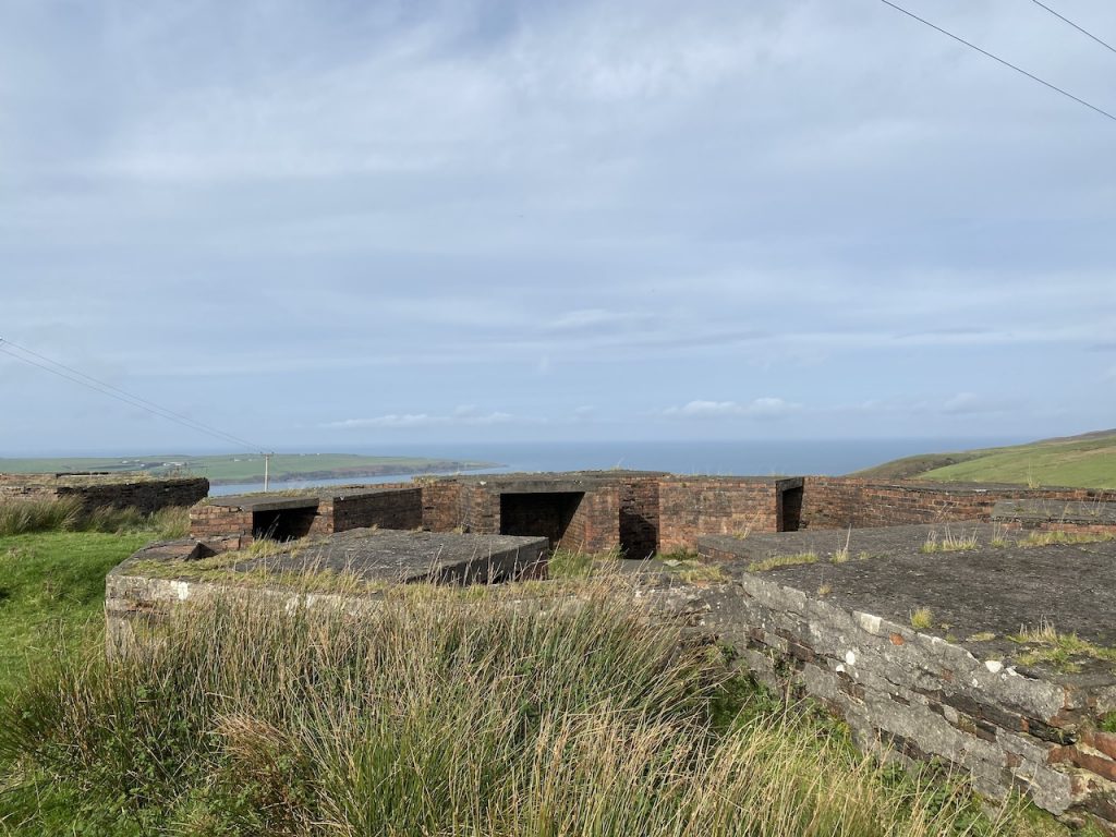
I didn’t get a very good photo of the gun emplacement since there were sheep wondering about the far side and I had to keep the dogs with us. They have an uncanny knack of tugging on their leads just as I take a photo.
The standing stone is just a little over 1.7m tall. It looks to have been shaped at some time but time has rounded its edges. The OS map names it as the “Taxing Stone”, which is what the locals called it when the cartographers asked, but there does not seem to be any evidence that tolls were ever collected there. Documents from the thirteenth century refer to the area as Lachtalpen (grave of Alpin) and there are traditions that the stone marks the spot where Alpin mac Echdach fell. I must say, it seems more likely to me – whose only qualification in history is an O level, and that a little shy of half a century ago – that the stone is one of the many standing stones in the area, such as those at Laggangarn or Drumtrodden, which are thought to date from the 2nd or 3rd millennium BC. Whether this stone has always stood alone, or had once stood among one of the many stone circles of Galloway, we’ll probably never know.
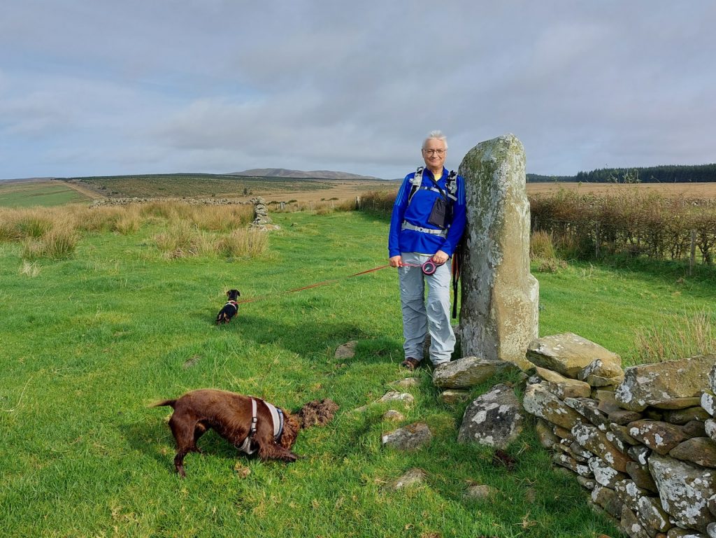
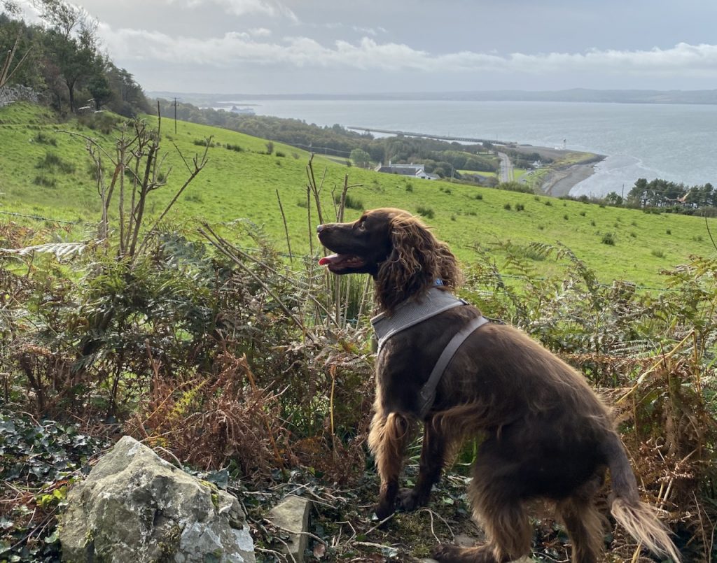
And…. this Alpin mac Echdach was my 39x-great grandfather. His son Kenneth mac Alpin, would subsequently wage war with on the Picts on the basis of four offences: the murder of his father; stealing his dog; making alliance with the Saxons; and breaking promises regarding the marriages of Scottish Princesses. So for the duration of the walk I cursed Pictish deceit and shed tears for my wronged ancestor…well I might have done if I wasn’t paying so much attention to where I stepped as we waded through the marsh grass, the characteristic “ker-plunk” of our point man, the spaniel, heralding the wetness ahead.
Whatever the original purpose of this stone, whether spiritual or temporal, subsequent generations seem to have put it to use as a way-marker, boundary-marker, a toll point and now a tourist attraction. If a notable event had happened nearby then I can imagine the stone becoming entwined into the tale.
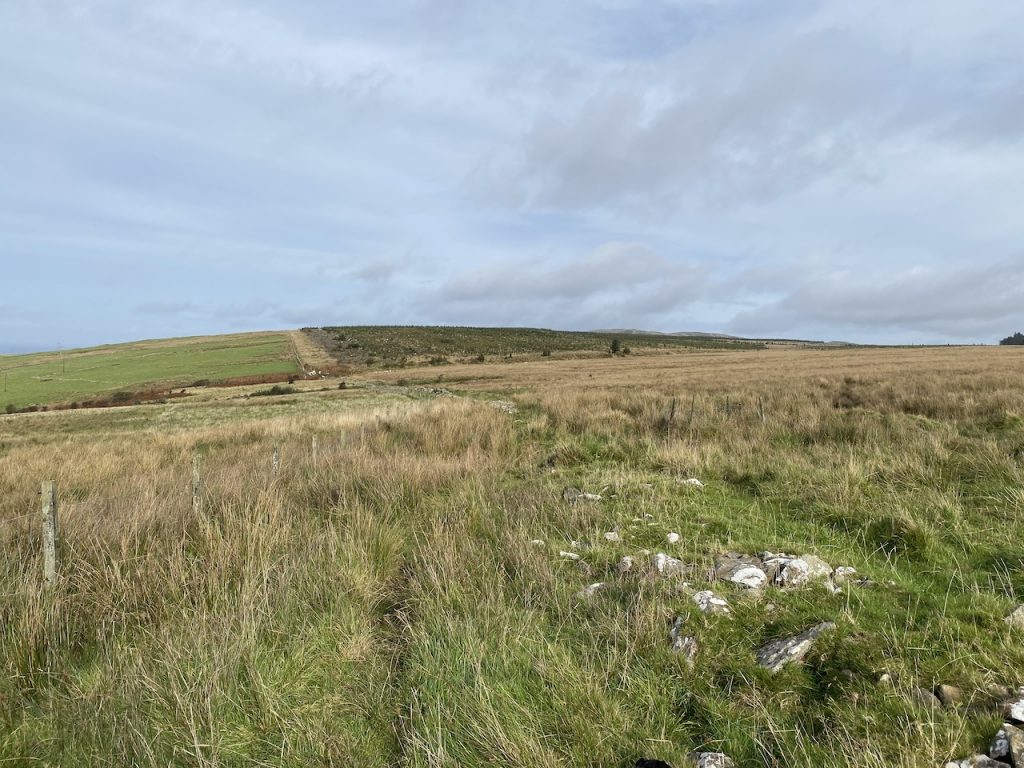
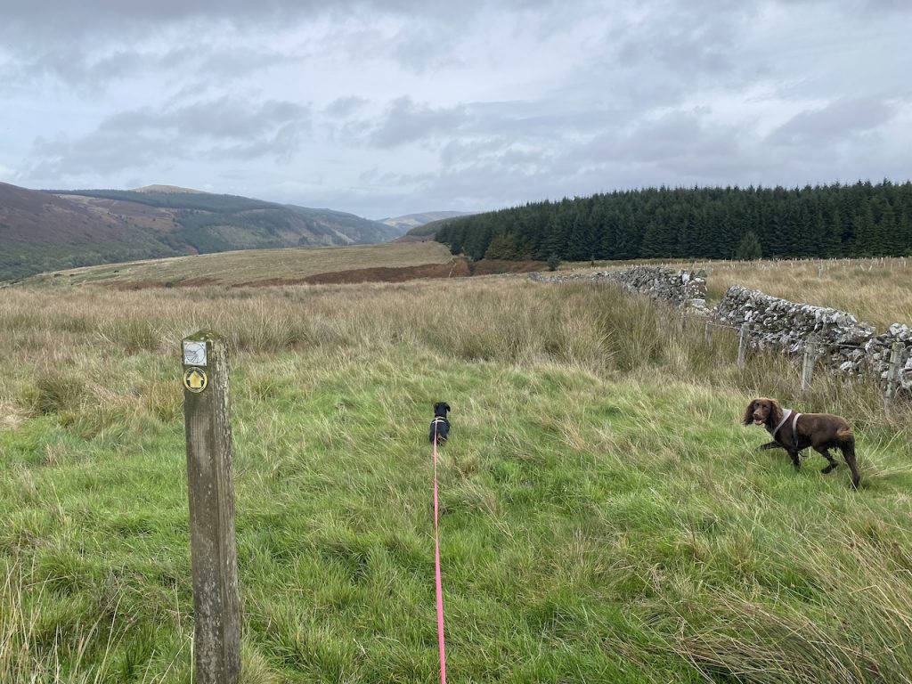
There had been a good track this far. Presumably the old coach road up from Cairnryan had been maintained for the sake of the artillery battery, but beyond here the coach road was long gone. We found ourselves walking on trackless moorland, following the remains of a fallen dyke. We had to pick our way carefully as the ground became boggier but we needn’t have bothered. Our feet would be wet soon enough.
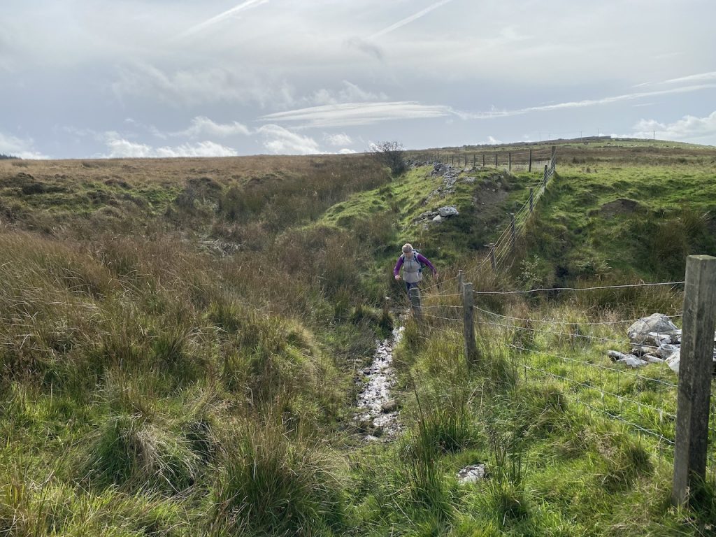
The Galloway Burn, which we found guarded by a flock of sheep, was the boundary between the ancient counties of Carrick and Galloway, and now separates the counties of South Ayrshire and Dumfries and Galloway. It’s an unlikely border. I have seen it described as more of a smoulder than a burn and that captures it nicely. We crossed the burn on a couple of wooden planks. I suspect the burn is silting up or whatever the peatland equivalent of that is called. Sphagnuming? An unnamed tributary a few metres to the south was more of an encumbrance, certainly more muddy and would make a better boundary.
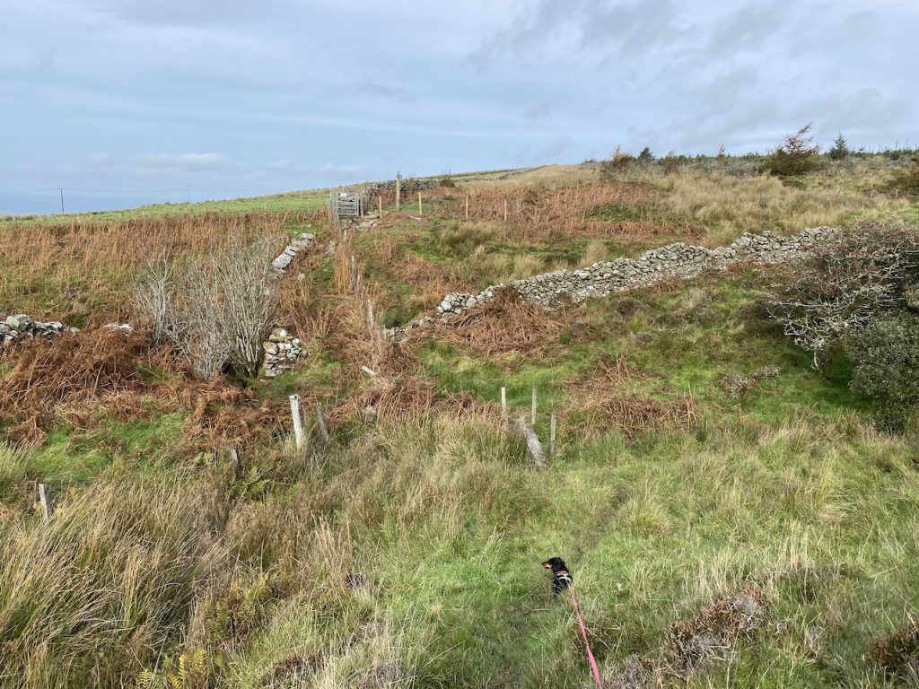
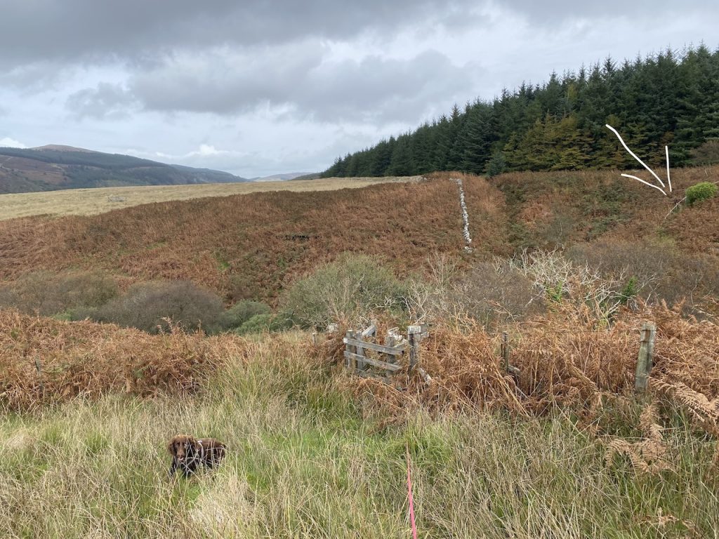
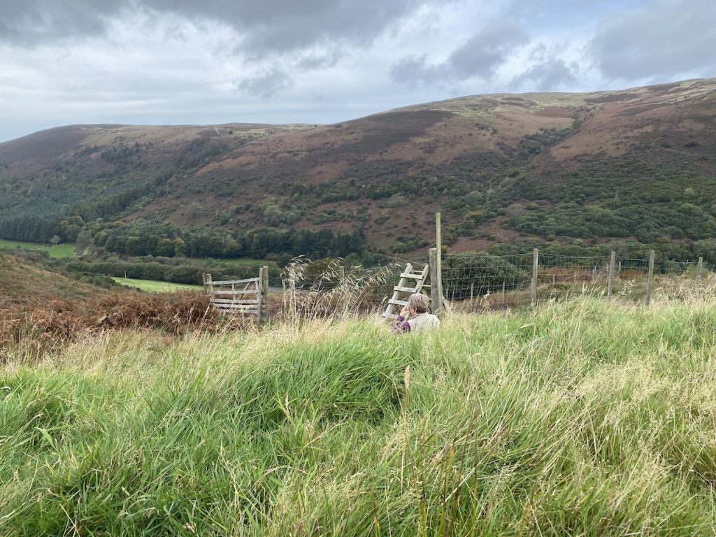
A forest shown on the OS map has been felled and replanted (top right in the above photo). A new gate lead us onto the non-forest side of the fence/wall. We were tempted to climb back over a little later but stuck to the west of the wall.
The OS shows the trail following the fence line but that would have meant crossing some very wet sections within the marsh grass. More ‘ker-plunking’ as the spaniel fell into the water warned us to detour. We did spot a way-marker below us on the slope suggested that the actual trail was down there, avoiding the worst of the wet. That said, there was no escape and eventually there was no option (other than turning back) to splashing through standing water.
But once our feet were properly wet we could stride on more confidently.
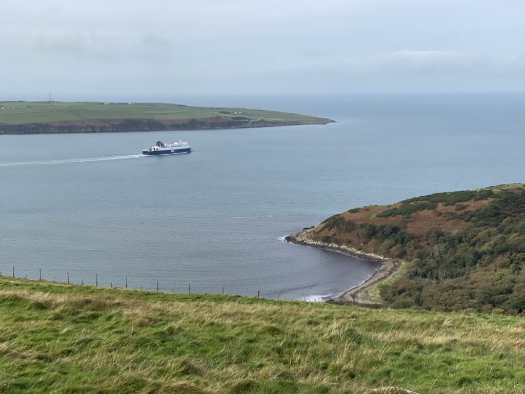
We had been discussing whether we could see Ireland in the distance for some time. At first I thought my mind was manufacturing the perception (which is I suppose its job) but when we reached Whidana and could look down into Finnarts Bay, there was no doubt. We could see land, but I wonder now if it was actually the Mull of Kintyre.
The trackless trail eventually brought us to the vehicle track servicing the wind turbines at what walkhighlands calls a “sheep fank”. That was a new term for me (and Audrey, who speaks walkers’ Scots and farmers’ Cumbrian).
FANK
Dictionaries of the Scots Language
I. n. A coil of rope; a noose (Rxb. 1923 Watson W.-B.; m.Lth. 1951); a tangle, e.g. of thread (Ib.). Also fig. and in phr. a fank o’ tows, a coil of rope (Sc. 1825 Jam.; Sh. 1951)
II. n. A sheepfold, a walled or fenced pen for sheep. Orig. Highland but now fairly Gen.Sc. (Slg 1812)
Well there you are. And not to be confused with FANK, the Forces armées nationales khmères, the national army of Cambodia in the 1970s, or Fanks, which Urban Dictionary defines as the ultimate gratitude of an individual towards another.
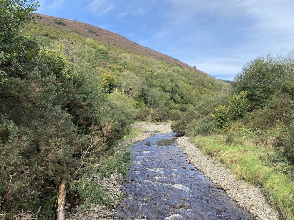
Glen App was the first (and only) real Glen we had encountered on the Mull of Galloway Trail. The Ayrshire Coastal Path climbed the far side. Next year perhaps [edit update – we started it in 2024].
We walked down the turbine track as far as an aerial. Actually a cell phone mast. Here the OS has the trail heading on down the track to the A77 at Drumbo whereas the Trail website says to turn back up a grassy track at the aerial. Three separate way markers at the aerial repeated the website’s recommendation. We left the track at a gate and set off across moorland again.
I had told Audrey that today’s walk had a difficult mile, and this was where I anticipated that mile would begin. But it wasn’t as difficult as I had thought. There were plenty of way marker posts and though we were crossing lots of marsh grass, it was easier since we already had wet feet.
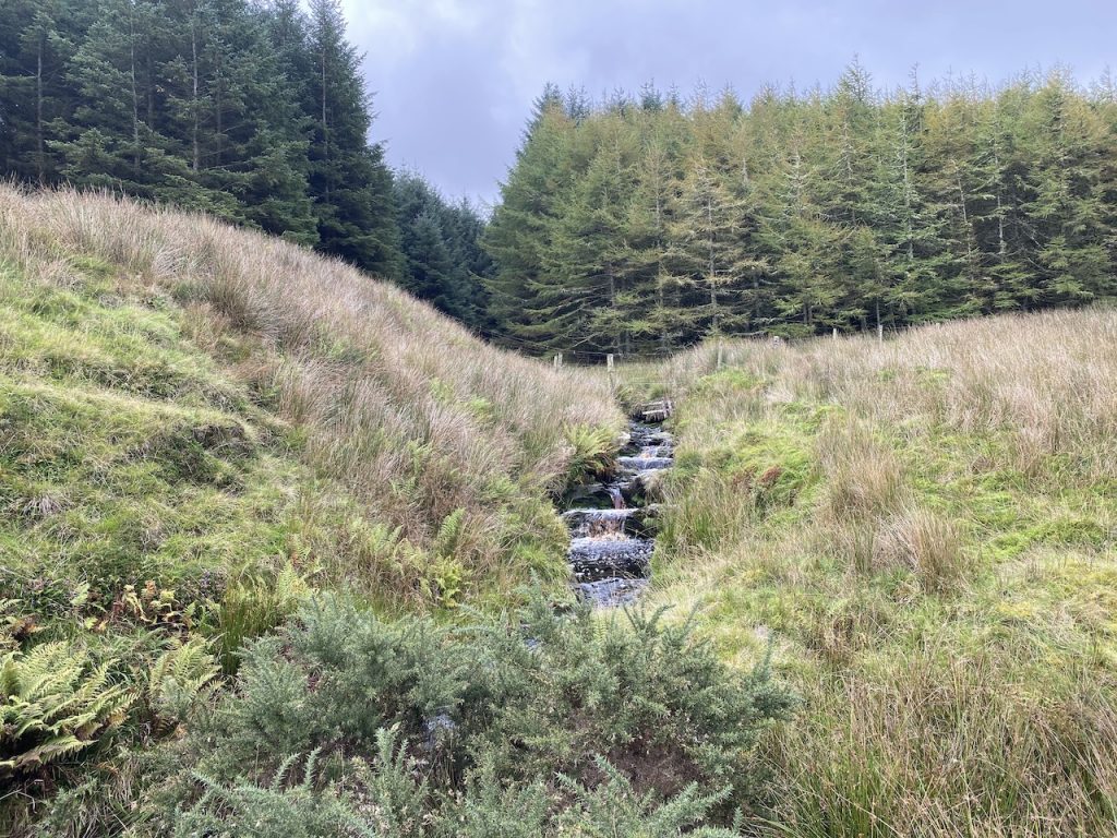
Tammock Burn, which is not named on the OS, was the only troublesome bit. There is a wee dip down to cross the burn and it has become very overgrown. The descent and ascent are steep but steps are provided though they are uneven, sometimes missing and occasionally loose. Because of the bracken I had to carry Mabel. The burn itself was hard to see through the bracken and I was wary of stepping into a deep gully. I heard Christy fall/jump into the water but could hear him scrambling out.
After that we were back on a vehicle track, which was quite eroded but much easier going. It was time for lunch and as usual there were no rocks or logs but we did find somewhere to sit for a few minutes. I had chosen an unsuitable spot initially (it was not as level as I had thought) but soon found a spot for my wee folding seat. Until this day I had thought the refolding of my hiking seat required three hands but the force was with me and I managed to fold it away solo. [New ability unlocked].
The track brought us to the A77 about 150m from Glen App church.
The church graveyard contains the tombs of the first three Earls of Inchcape. One was so large that I initially thought it was a war memorial because it was huge and guarded at each corner by either an eagle or a lion. It was the 1st earl’s gravestone.
That brought us to the end of the Mull of Galloway Trail/ Loch Ryan Coastal Path, but we still had a couple of miles more to get to the car.
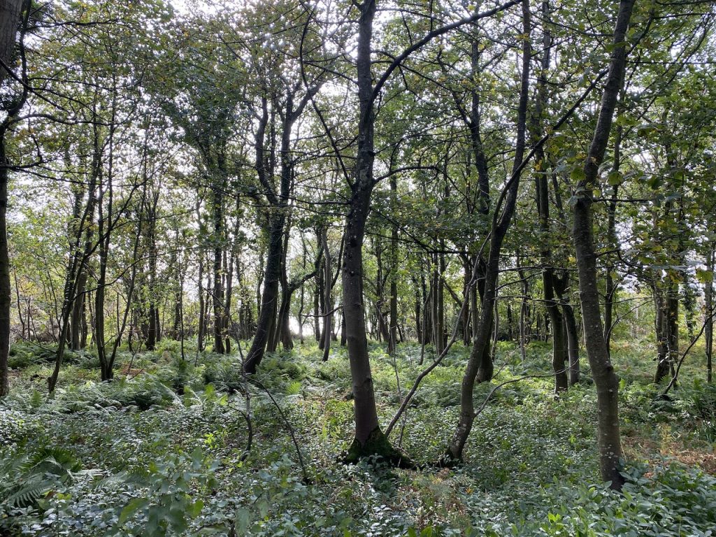
We took the Ayrshire Coastal Path, crossed the Water of App on the Bridge of Mark but left the ACP to walk past Finnarts farm and through Garry Wood then cross the water of App one last time. The dogs spent most of the time on leads since there were pheasants running about everywhere.
A good day’s walk. Better weather than forecast, and the ‘unpleasant mile’ was no where near as bad as I had expected. We had good views of Loch Ryan and Glenapp and probably glimpsed the Mull of Kintyre. There were wartime fortifications, a standing stone that might mark where one of my ancestors fell in battle and the resting place of three earls.
The Mull of Galloway Trail – completed.
Download file for GPS