10.48 miles 5h 26m 548m ascent
Peveril Castle
Castleton to the A6
The Limestone Way is a 46 mile walking trail in the Peak District National Park. It begins in the town of Castleton, below Mam Tor, and makes its way over the broad limestone plateau of the White Peak, and down through the Derbyshire Dales to Rocester, home of JCB, in North Staffordshire. We had decided to walk the trail over four or five days, and after our first day decided five days was the best choice for us.
We began the walk in Castleton, described by Historic UK as “epitomising the quintessentially classic English hamlet” but more lyrically by Charles Cotton, author of The Compleat Gamester, as…
...'A place of noted fame,
Which from the castle there derives its name.
Ent'ring the village, presently you are met
With a clear, swift, and murmuring rivulet;
Towards whose source if up the stream you look,
Or on your right, close by, your eye is strook
With a stupendous rock, raising so high
His craggy temples towards the azure sky,
That if we this should with the rest compare,
They hillocks, molehills, warts, and pebbles are.
This, as if king of all the mountains round,
Is on the top with an old tower crown'd—
An antick thing, fit to make people stare ;
But of no use, either in peace or war.'

Charles Cotton (1630-1687)
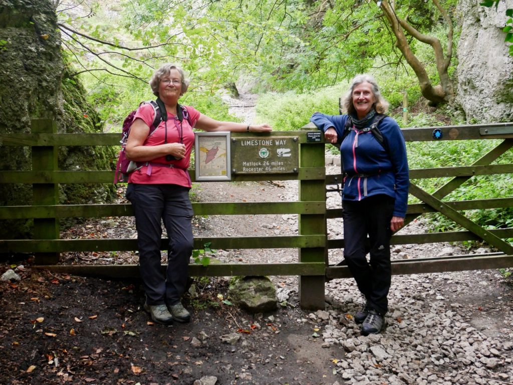
The area has been settled since pre-Roman times by those mining lead and silver from its surrounding hills but the town now caters mainly to tourists, so we had no problem finding car parking. But beware, the pay-and-display machines hark back to the days of old – they don’t take cards. I would have liked to spend time exploring the town, but we had a day’s walking ahead of us and busy towns aren’t the safest places in pandemic times. So we got right to it and made our way straight to Cave Dale, where a small plaque marks the beginning of the Limestone Way.
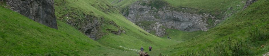
Start of LW
We paused for our start-of-walk photos – though mine didn’t come out – then walked into Cave Dale, a deep gorge with a path of polished rocks. As its name suggests there are a great many caves in its walls some of which were once entrances to lead mines. Peveril Castle, the setting of Walter Scott’s “Peveril of the Peak”, stands high on the cliffs, watching over the dale as it has since 1086. The dale’s path climbs gently at first but then becomes steeper. A mountain biker waiting to head down the wet polished rocks told us it was one of the most challenging runs in the county. Cave Dale was the only place over our five days walking the Limestone Way that we saw so many other walkers.
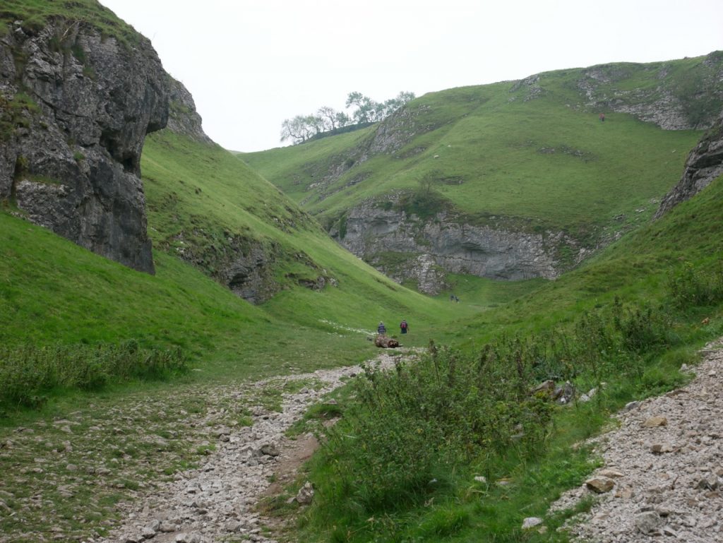
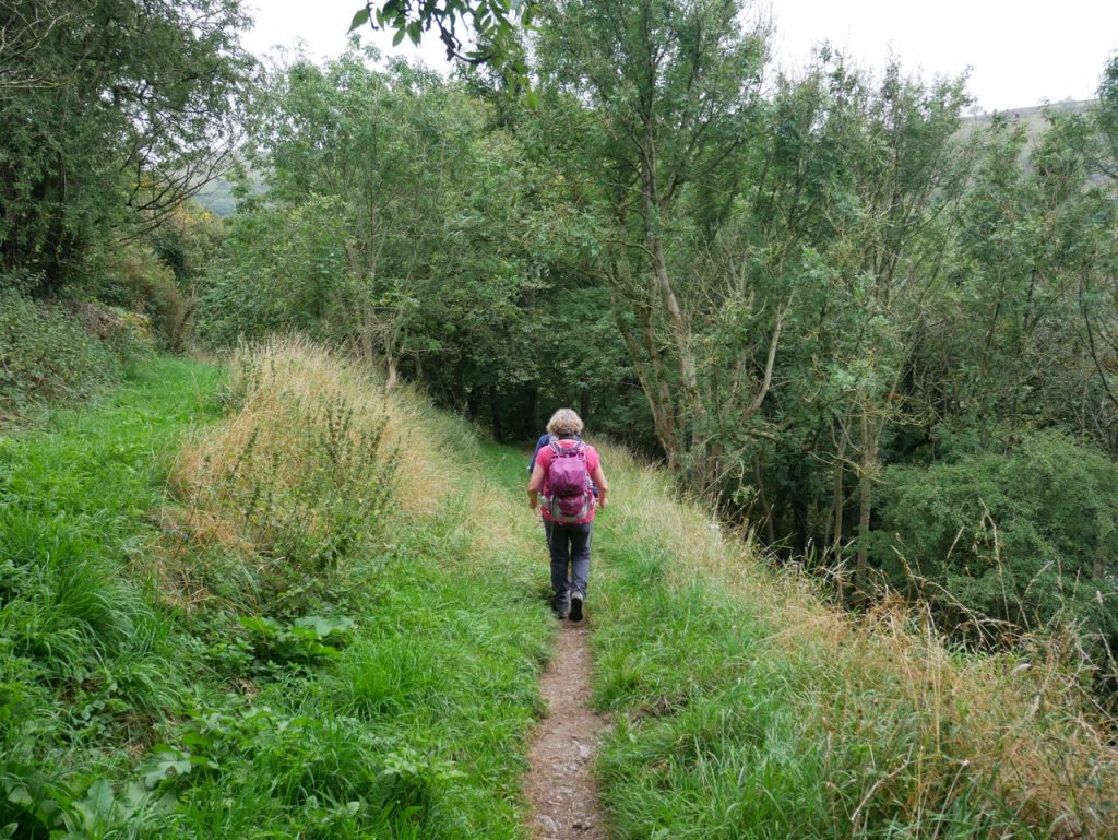
Cave Dale
The climb out of Cave Dale brought us onto Old Moor. Most of the other walkers turned back to towards Castleton while we headed out onto a windswept upland moor empty but for sheep, dilapidated stone dykes, and the mounds of mines and tumuli. Walking through the smirr-laced mist I began to regret my choice of a short-sleeved top. I had taken the long-sleeve top and gloves out of my rucksack that morning. The Met Office had forecast warmth and sunshine. Lesson learned.
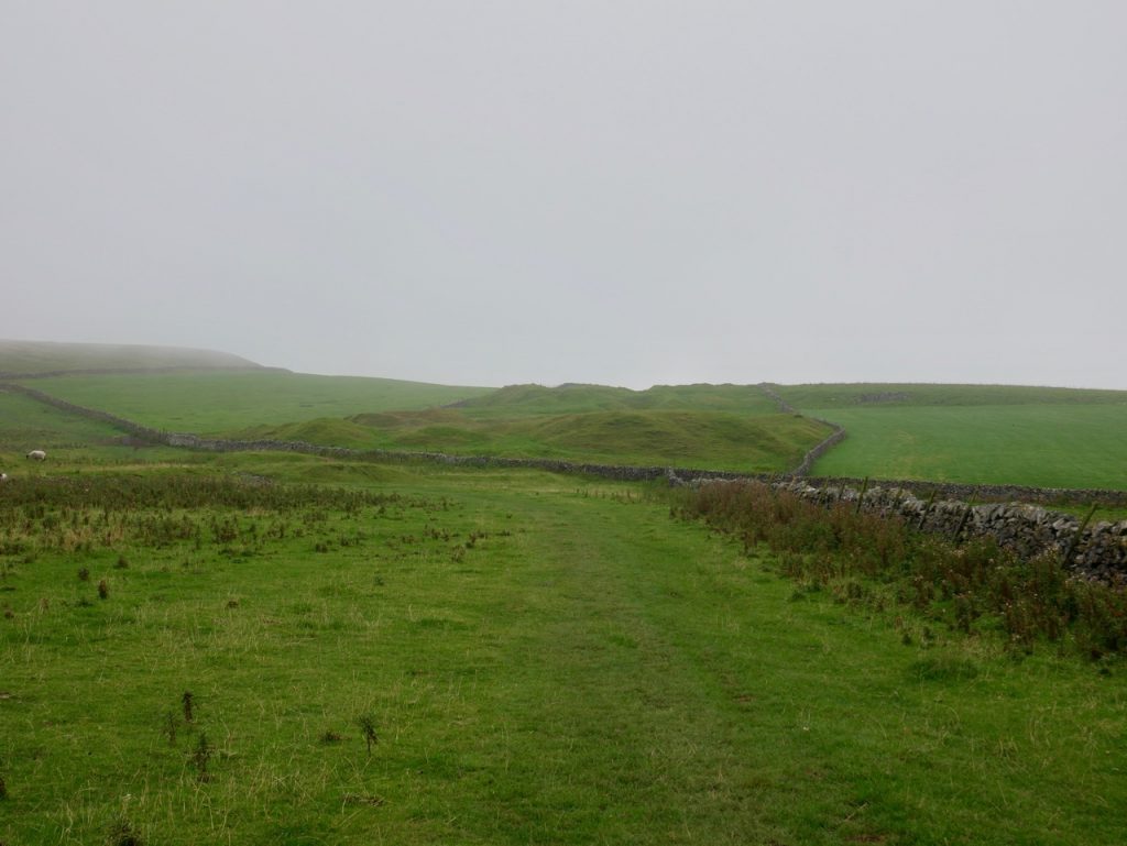
Old Moor
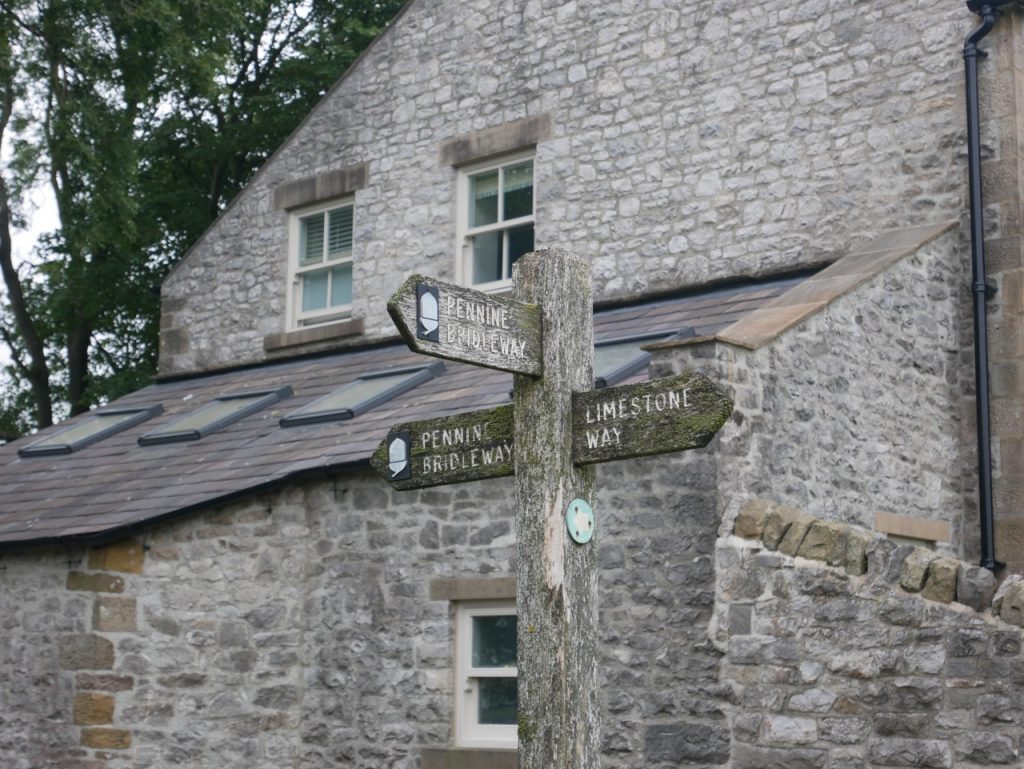
The Limestone Way claims to be a waymarked route but the markers can be sparse. The official marker is a Ram’s Head but those are rarities. There are Limestone Way signposts, and some small plaques, green with yellow arrows, but many junctions are marked only as generic footpaths or bridleways and such paths might be the Limestone Way but could be other tracks crossing the route. I’m glad we had a map.
The route over Old Moor follows limestone walls for much of the way but we faced a navigation challenge within the first hour. We almost took a wrong turn towards Oxlow Rake. Several signs pointed that way, along a well defined path between stone walls. The actual route is through a gate 100m further on, but that gate was not visible from where we were. Luckily for us some other walkers were returning having taken the wrong route so we got to the correct gate. Better signage would certainly have helped.
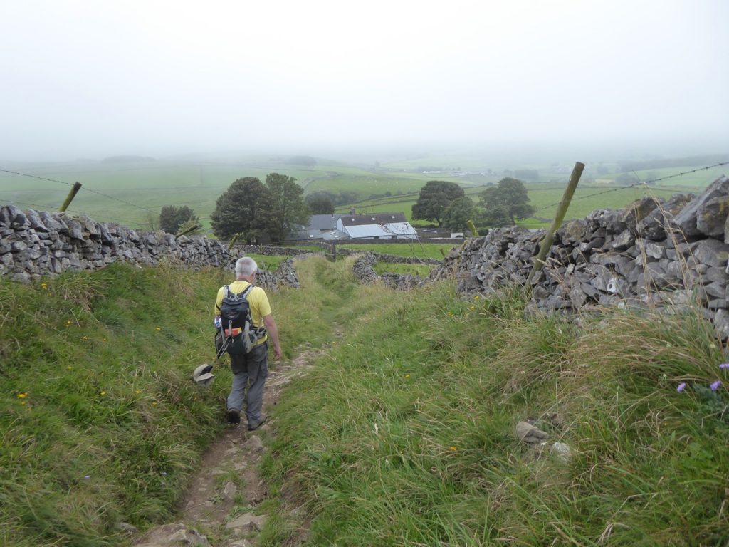
Drove road
A path between limestone dykes eventually took us off the higher ground. This might have once been a drove road or miner’s path but had become a farm track by the time it reached the A623 at Mount Pleasant Farm.
We had a miserable lunch, huddled in the lee of a pile of stones, but unable to escape the wind and still cold even with our jackets on. Post-lunch we stood, fed and watered but somewhat colder. We weren’t singing. Half a kilometre further on we found ourselves on a limestone path with hedgerows full of summer flowers and the wind much reduced. The sun showed its face and I was soon warm enough to take my jacket off. Our lunch break had been half a kilometre too soon.
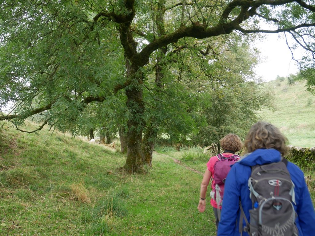
Hay Dale
The second part of the day’s walk was quite different. Instead of upland moor we walked in leafy dales. Haydale was a dingle if ever there was one. Sheep grazed beneath its trees and one, perhaps longing to be a goat, had climbed onto a small ledge in the limestone cliff. A bench sitting on a grassy knoll would have been a great place to have stopped for lunch. The next dale, Peter Dale, was something different entirely. Tall steep limestone clints topped with trees gave it a gloomy atmosphere. The ground needed close attention while walking being littered with rocks, churned mud and cow pats. It was the type of place you might expect a band of robbers to have their hideout.
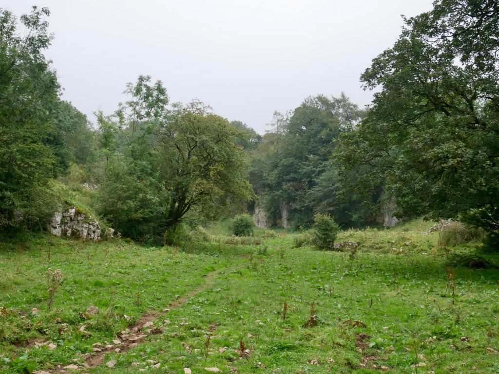
Entrance to Peter Dale
A group of walkers coming from Monk’s Dale warned us against walking along that way. Luckily the Limestone Way didn’t include the promised mud, slick rocks and twisted ankles of Monk’s Dale, instead using a minor road and a footpath around it. We did go astray due to a navigation error on my part. I took us along the pennine bridleway briefly, but we found our way back pretty quickly. There was an anxious moment while retracing our steps as we passed behind a muck-spreader just as it started up. We were far enough away to escape being manured and it was only our sense of smell that was disturbed.
Approaching Miller’s Dale
A tree lined path brought us into Miller’s Dale where the B6049 runs alongside the River Wye. There is a wee chapel and an old water wheel to see and twin viaducts dating from 1866 and 1905. One of these viaducts carries the Monsal Trail, a walking and cycling route along the disused railway.
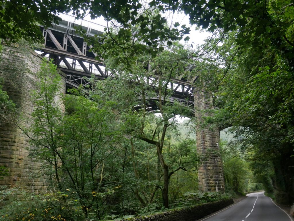
Twin Viaducts
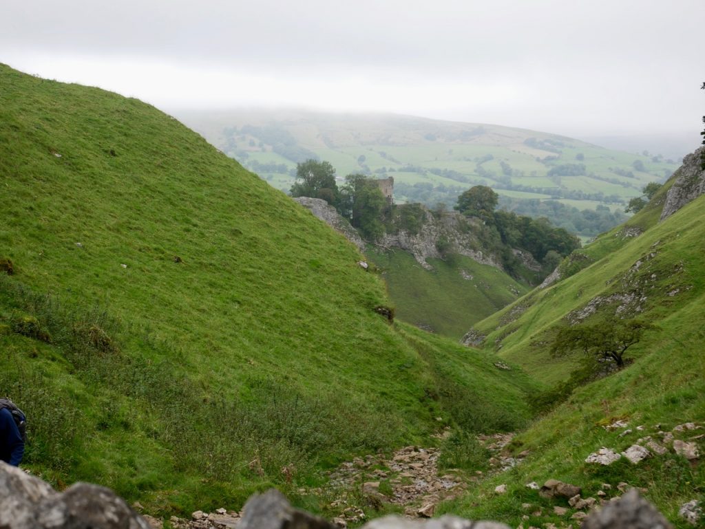
Our final leg was the climb up Priestcliffe on Long Lane, an old drove road, not to be confused with the Roman road of the same name from Derby to Rocester.
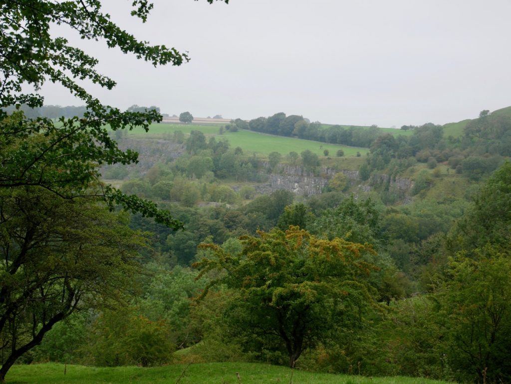
Chee Dale seen from Long Lane
By then we were all beginning to flag and we felt the lane’s name seemed especially apt. I activated glass-half-full mode and smiled knowing we wouldn’t have to climb it the next day and that the car was parked in a nearby lay-by on the A6, not far from the Limestone Way.
This had been a day of upland moor and limestone gorge, drove roads and Norman castles, mine workings and ancient tumuli, sheep and cows, viaducts and rivers, and miles of limestone wall. The highest point was Starvehouse Mine (459m) and lowest, Castleton (189m). There was more up than down and though there had been smirr in the air, it hadn’t actually rained. The boundary crossings had mostly been gates with the occasional stepped wall and stile, nothing to complain about. We could have done with a little better signage but still found our way back to the car.
[sgpx gpx=https://www.screel.co.uk/walks/wp-content/uploads/2020/09/RK_gpx-_2020-09-16_1109.gpx]
