7.05 miles 3h 5m ascent 139m
River Ayr Way: Catrine to Failford
This short section is a walk along riverside paths, woodland wynds, wooden walkways, fenced and mown farmland tracks, un-named and little used tarmac, quiet residential streets and unpleasantly busy B-roads; over bridges of metal, of wood and of stone; beneath viaducts for road and rail; through deciduous woods and conifer, by hedgerows of soft and sharp branches, with colours of summer and autumn; past waymarkers, ambiguous signposts and places calling out for signage.
We had had rain hard enough for Met office yellow warnings but today were forecast a reprieve. 60-70% chance of rain in the evening but only 10-20% during walking hours. The wet weather camera stayed at home and my main concerns were wet ground or the river running high from the previous day’s rain. Well. You probably guessed. It rained. And if it didn’t rain continuously it most certainly felt like it did. When the rain did stop it was only to give the drizzle a look in. But it wasn’t cold, there wasn’t much wind and we had our jackets. Dogs at least are waterproof. My camera had to be stowed in a waterproof bag so the photos are curtesy of my phone, which is more waterproof than the camera.
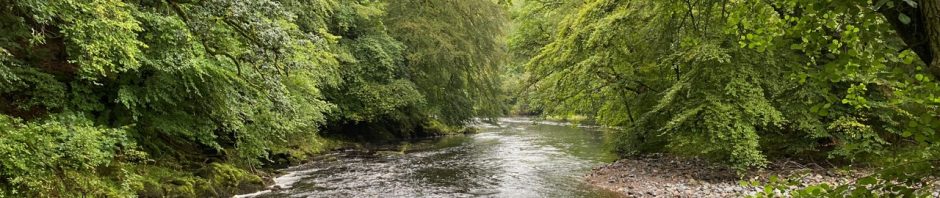
Across the River Ayr
The last section finished at Mill Square, so that was our start. We donned waterproofs, covered our rucksacks, harnessed the dogs and set off without hanging about. A short stroll down Bridge Street not unexpectedly brought us to a bridge across the River Ayr and the Catrine Institute building. Also known as the A M Brown Building, the Institute was built to celebrate Queen Victoria’s Jubilee. It opened in 1898 and originally had a billiard room, carpet bowls, a library and reading room. Its clock faces showed different times.
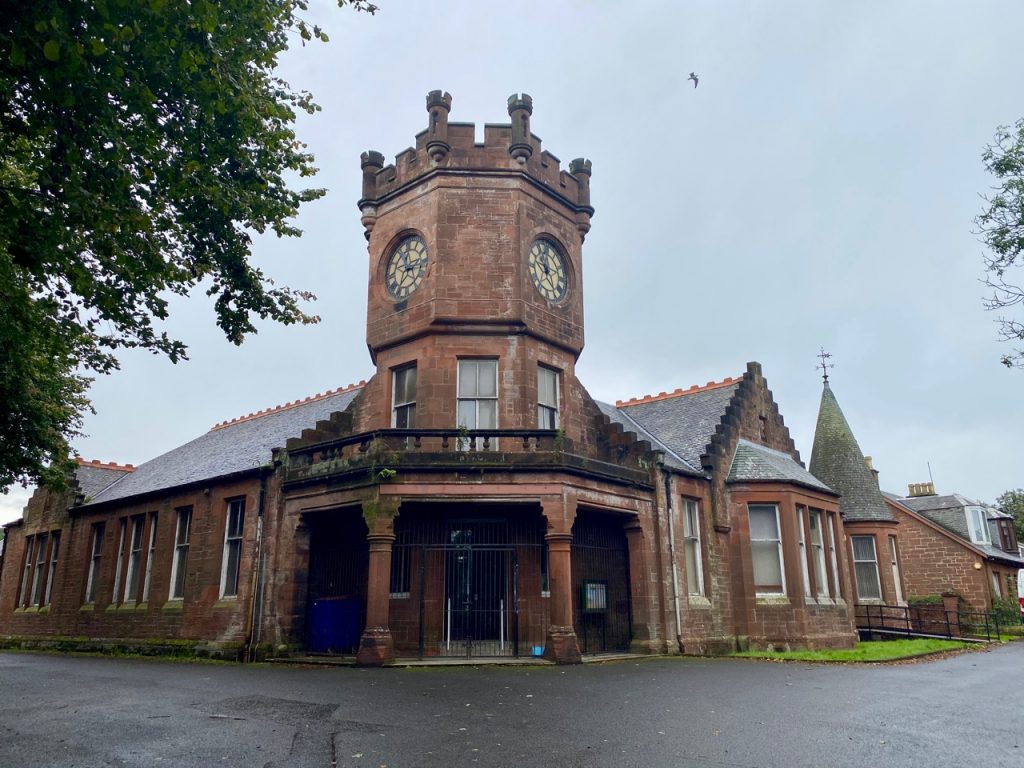
The Institute – Catrine
A sign directed us to our right where a small bridge crossed a wee tributary. We looked down on a pink bicycle lying in the water. After some bungalows on a tarmac track we joined the riverside footpath and passed the frame remains of a seat or hide that had seen better days. I suspect it has suffered the ravages of nature and neglect rather than vandalism. I was glad the river wasn’t running particularly high so I could let Christy off his lead. The riverside path was pleasant walking. I’m pleased to say there was neither scent nor sight of the nearby sewage works shown on the OS map!
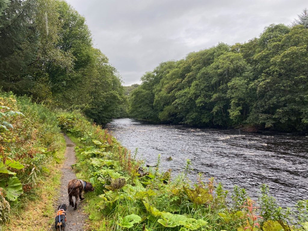
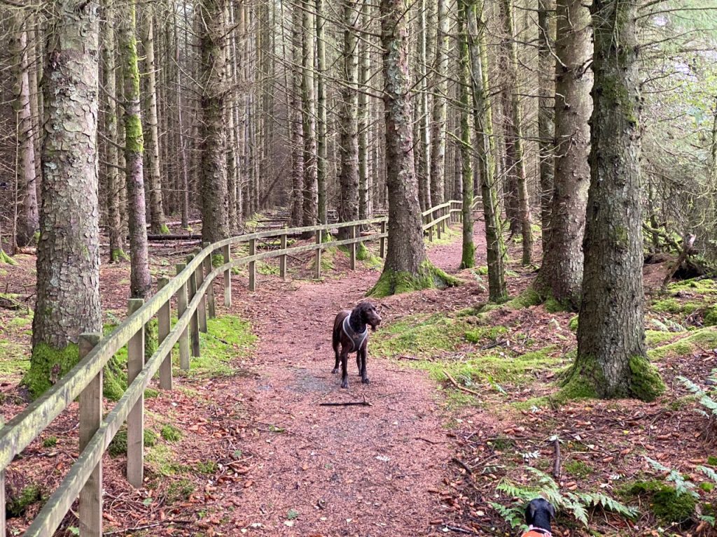
Brae of Ballochmyle
Where the path entered a wood, we climbed a flight of steps. Each riser of the stairway held a box of mud. The spaniel bounded up the muddy slope beside the steps but I was pretty sure I would be sliding down on my backside if I tried it. So I squelched up the mud filled steps. Who am I to complain if a miniature dachshund could scramble through it?
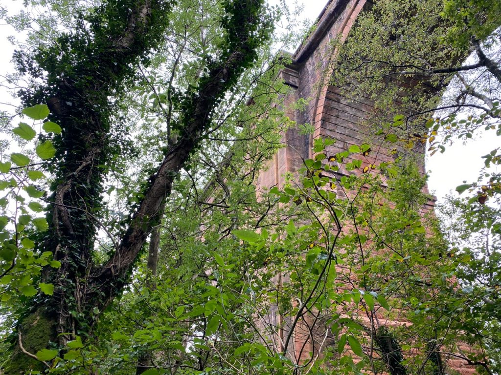
The track through the trees was surprisingly firm and less muddy than I expected. I lost sight of the river and only realised it was in a deep gorge when we walked beneath the A76 . The Howford Bridge, opened in 1962, towers high above the trees and sports some impressively high graffiti. Over-sized witch’s knickers about the size of a parachute hung in trees above us (seen in the photo).
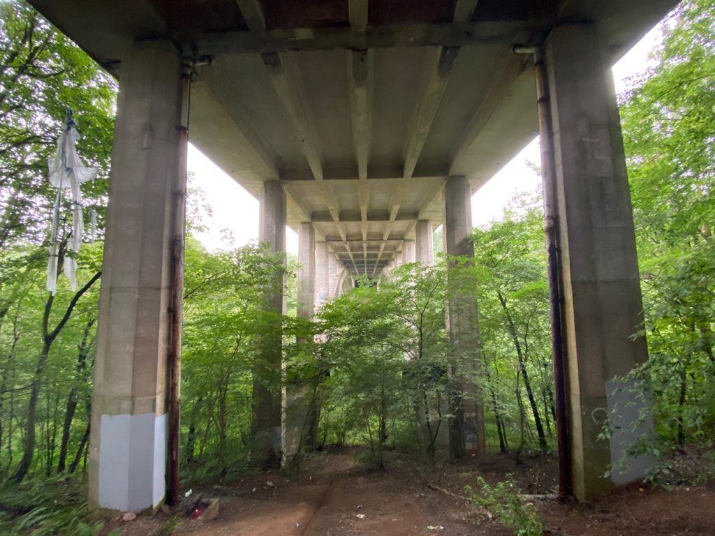
A76 Viaduct
More steps, but less muddy this time, took us back down towards the river and a old road bridge, this one dating from 1750. Jean Armour’s father is said to have been involved in its construction. The view from the old bridge is striking, a wide bend in the river beneath a rocky cliff one side and a grassy bank on the other with the ‘new’ A76 bridge up above the trees. It was hard to believe that this narrow road was once the A76. It is still shown as a yellow road on the OS map but padlocked gates ensure it is no longer a through route.
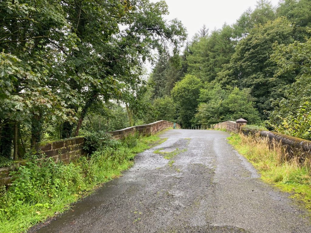
The old A76 bridge
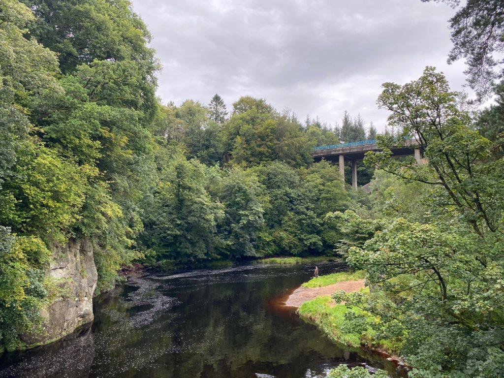
The Howford viaduct from the old bridge
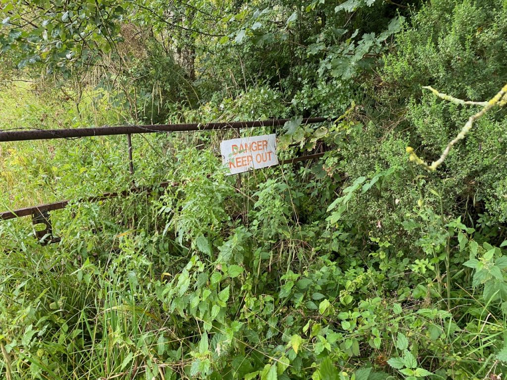
A man rushing across the bridge asked anxiously if we’d seen a small white dog. We hadn’t. He walked off the way we had come, and we could hear him calling the dog as we continued along the old road. We were walking directly away from the river looking for a path back to the river. It should be on our left when the road curved to the right. A sandstone abutment by the road looked to me to be the remains of a railway bridge, but it turns out it once supported a footbridge. A path beside it was blocked with trees that looked to have been placed there rather than fallen by chance. A broken gate, its gatepost marked ‘footpath’ tempted us with a narrow path. This was the River Ayr Way but we didn’t think so at the time. Its path seemed to be heading in the wrong direction so we walked on a little further before realising our mistake, checking the map, and walking back.
And there, on the footpath ahead of us, was the little white dog. We crept close, making encouraging noises. I thought I would get close enough to get hold of it. I would use Christy’s lead to hold it and we could walk it back. But it was skittish and ran off. I didn’t want to just leave it so decided to try again. I set off with Mabel, hoping that the white dog might be curious enough about another small dog to come for a sniff. But the dog did not like being closer than a couple of arm’s lengths. He stopped, we drew closer, closer still, but then it would run a few metres away. We repeated this a few times, him leading us a merry dance. I began to wonder if I should have brought the spaniel. He would have been able to catch up with the wee dog. But for all I knew he might have scared the wee dog off or thought that the race was a great game and run off with it.
The search party were on the far side of the river, over the bridge. and as we got closer to the bridge I hoped I could herd him towards them. There were now several cars parked on the road, one had a mobile phone number on its side so I rang the number and asked if I they were looking for a white dog. “Yes”. I told her it was running towards the old bridge. The dog had been on the opposite side of the river to where they were searching. Then her voice changed. I could hear the relief. “I’ve got him.”
My good deed for the day done, Mabel and I headed back to Audrey and Christy. And that’s why this section’s distance is 0.7 miles longer than it should be.
Ballochmyle Viaduct
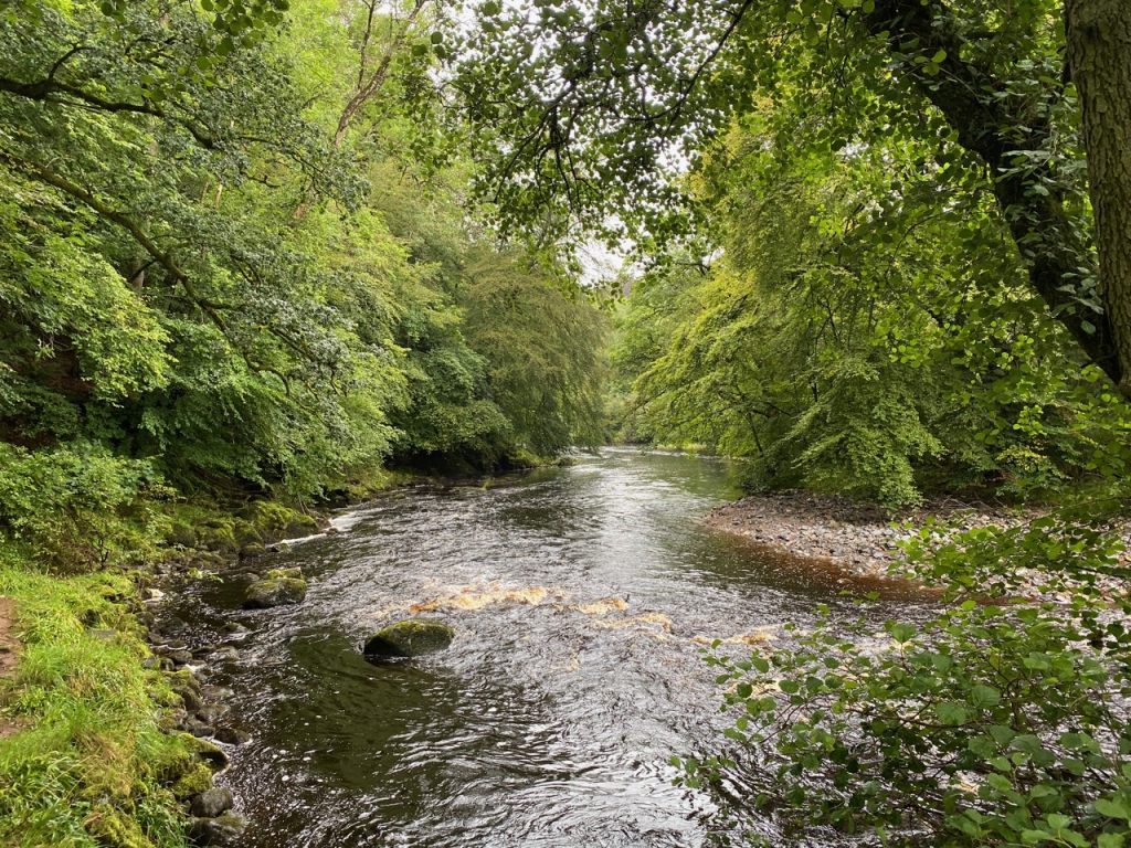
Back together, off the road, I got my breath back and relaxed. We strolled along a well defined path through mature woodland. The bracken was yellowing but the trees were still in summer livery. We passed under the Ballochmyle Railway Viaduct. A plaque told us that this seven arch engineering masterpiece, built 1846-48, is the largest masonry railway arch in the UK, with a span of 181ft.
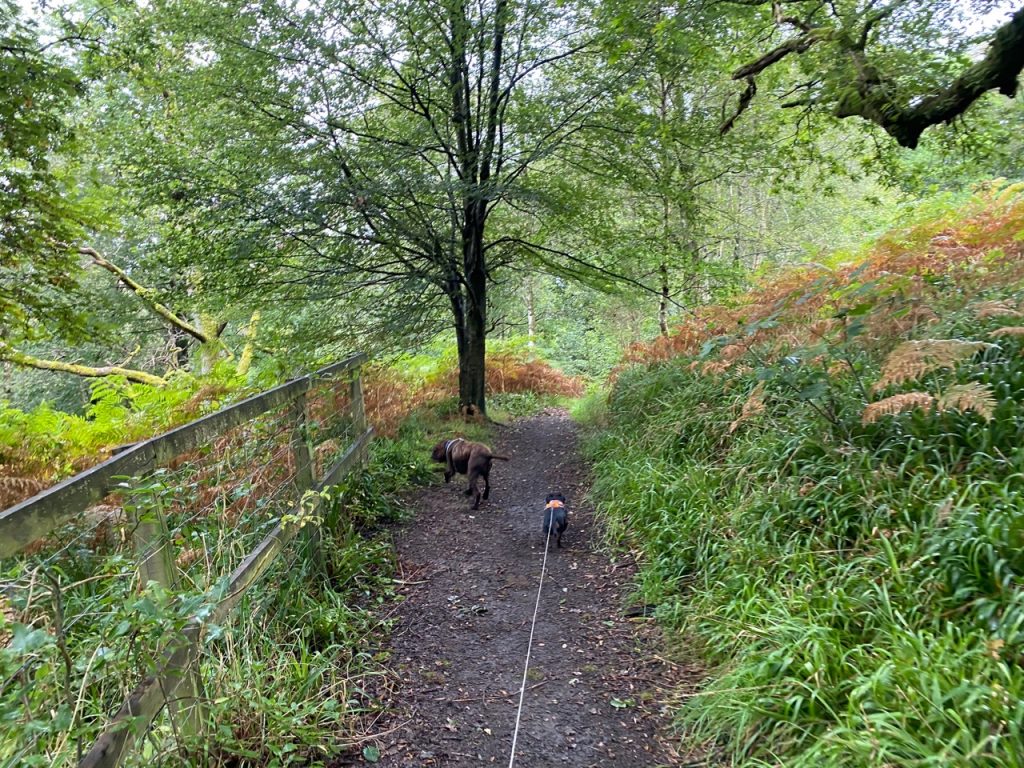
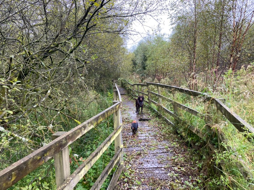
The river could occasionally be glimpsed through the trees far below us. A wooden fence gave clues as to where there were steep drops and some short bridges carried us over small streams. A larger wooden footbridge crossed Kirkencleugh. Then we left the woods to cross Haugh Farm on a mown path between new fences topped with barbed-wire.
At Haugh Farm we came to a minor road and wondered which way to go. We looked at the map, never easy in the rain, and were none the wiser. The uncertainty I’ll admit was because I thought we were somewhere else and the place we found ourselves just ‘did not compute’. Then we spotted a signpost across the road. Indeed there were two, both marked “River Ayr Way” but the direction we were to take was not clear. Did they point along the small track opposite, or up the road to our right? It could have been either. As we stood in the rain, wet and disorientated, a woman came out of her house and told us the way (up the road, left at farm on the corner, left again at the end of the road). She said the River Ayr Way had originally followed the river here, but now it went cross-country.
We trudged up the wet road and turned left at Haughyett Farm. (I had imagined yett would mean high but apparently it means gate, or more specifically a barred gate. And this leads to phrases such as “as daft as a yett on a windy day”). After half a kilometre we went left again and along the road to a gate with an unobtrusive River Ayr Way sign. For once it was me who noticed it.
No problem
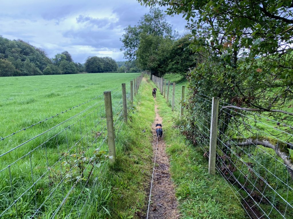
It was good to be off the road. Once again our path was mown grass between barbed-wire. Cows in the fields were the same as last week (Black and white according to me, Fresians according to our bovine expert). Near the water-filled Mossfield quarry we met a couple of guys trimming overhanging branches and mowing the path. They stopped while we passed and reassured us that the path was mown most of the way to Failford.
Kipplemoss
The pathway was much better going than the surrounding boggy and flooded fields. As well as farmland we passed through a fir plantation at Kipplemoss, along walkways over ponds, and eventually a final stretch beside a neatly trimmed hedge. By this time we were within a stone’s throw of the River Ayr, but didn’t actually see it until we reached Failford.
I think in better weather we would have spent more time looking at the hedgerows, the fields, the trees. I would perhaps have photographed the orange water in standing pools or the light green covered ponds, but I drifted into ‘one foot in front of the other’ mode. I didn’t feel inclined to stop in the rain for a drink, particularly since this was only a short section.
The last kilometre was a very unpleasant walk along the busy B743. Not something I would recommend in poor visibility. There is no pavement, a bend in the road makes it difficult for cars to see walkers and there is only a narrow grass verge and even that disappears in places.
It was a relief to reach Failford and get off the road.
[sgpx gpx=https://www.screel.co.uk/walks/wp-content/uploads/2020/08/RK_gpx-_2020-08-27_1113.gpx]
