10.55 miles 5h 32 m ascent 82m
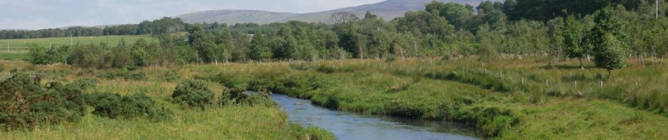
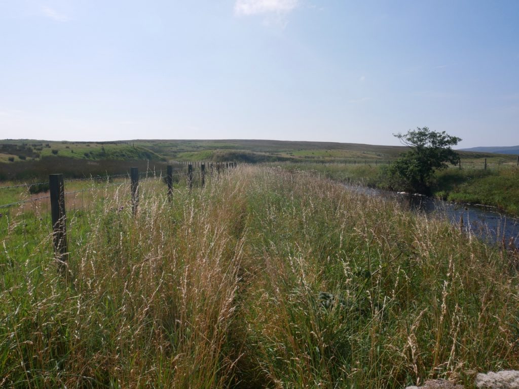
Glenbuck-Greenock Water Bridge
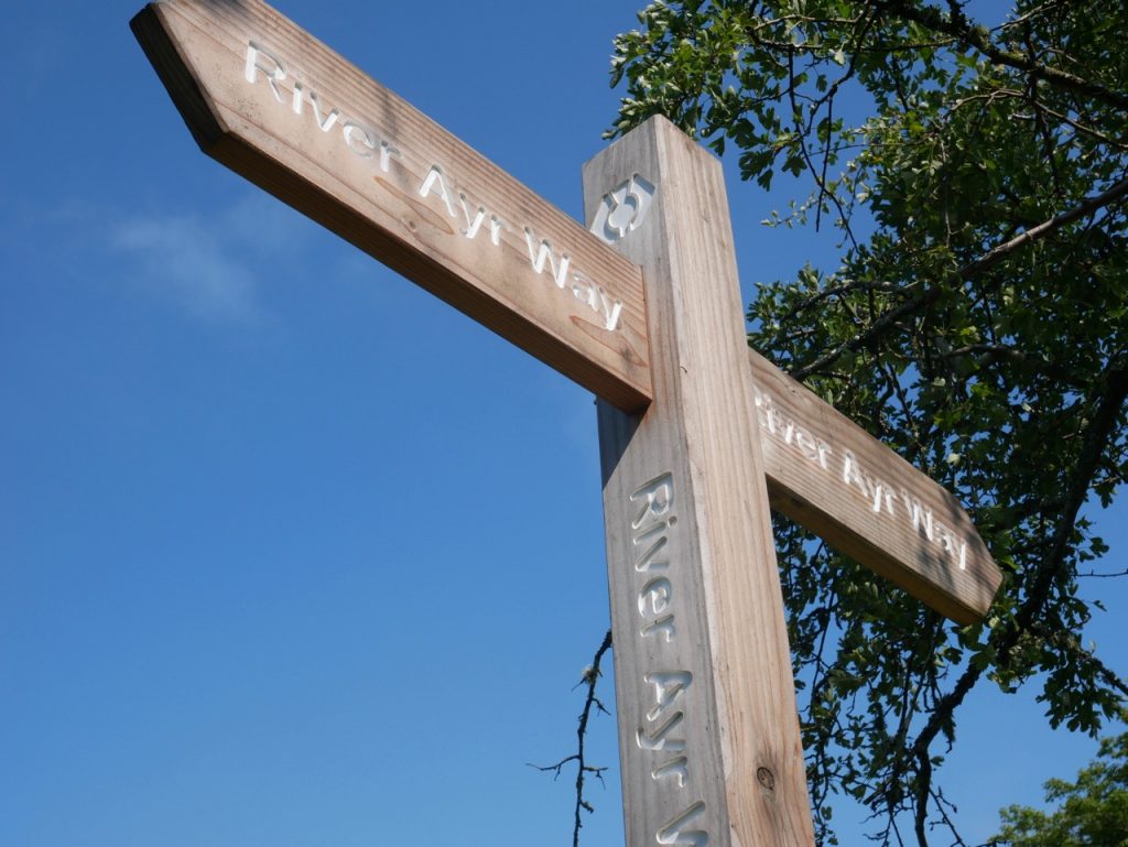
The River Ayr Way follows the River Ayr from its source at Glenbuck Loch to the sea at Ayr, a 44 mile route. We had talked of walking it for quite some time, but never got round to doing the actual walk. Well here we were at last, ready for our first stage. The plan was to start on Tuesday but Met Office alerts delayed us a couple of days. So instead of heat, humidity and thunderstorms we had sunshine with just the right amount of breeze.
I had expected a car park at the beginning. Yes, I’m looking at you walkhighlands.co.uk! So I was a bit put out to find the road to said car park gated and padlocked. We tried driving up towards Glenbuck Heritage Village, and found what looked like a car park half a kilometre up the road, but it was also gated and padlocked. The ‘village’ car park was a further half kilometre up the road. Too far. So we parked as close as we could to the actual River Ayr Way and walked up the gated road, me scowling at the “Private – Residents Only” sign.

Monument at the start of the River Ayr Way
There is an information board showing the route and a huge slab of cast sand from Ayr beach on the slopes above Glenbuck Loch. Ahead of us were 44 miles of River Ayr Way, and whatever extra fate threw our way. We retraced our steps back to the Glenbuck village road and then turned downhill. I took the wee burn beside us to be a fledgling River Ayr but it is the Stottencleugh Burn running down into the loch. Our views of the loch were marred by temporary fencing around construction work going on there. A new car park for the River Ayr Way, perhaps?
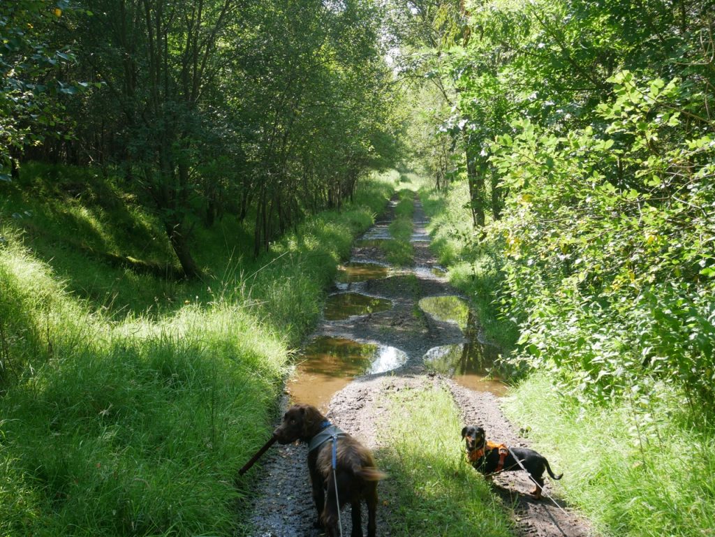
We soon escaped the tarmac, through what would be the first of many kissing gates, along a path with hedgerow separating us from the A70 and a barbed-wire topped fence protecting us from the field to our right. After crossing the A70 we were on the old railway which would be our route for a good few miles.
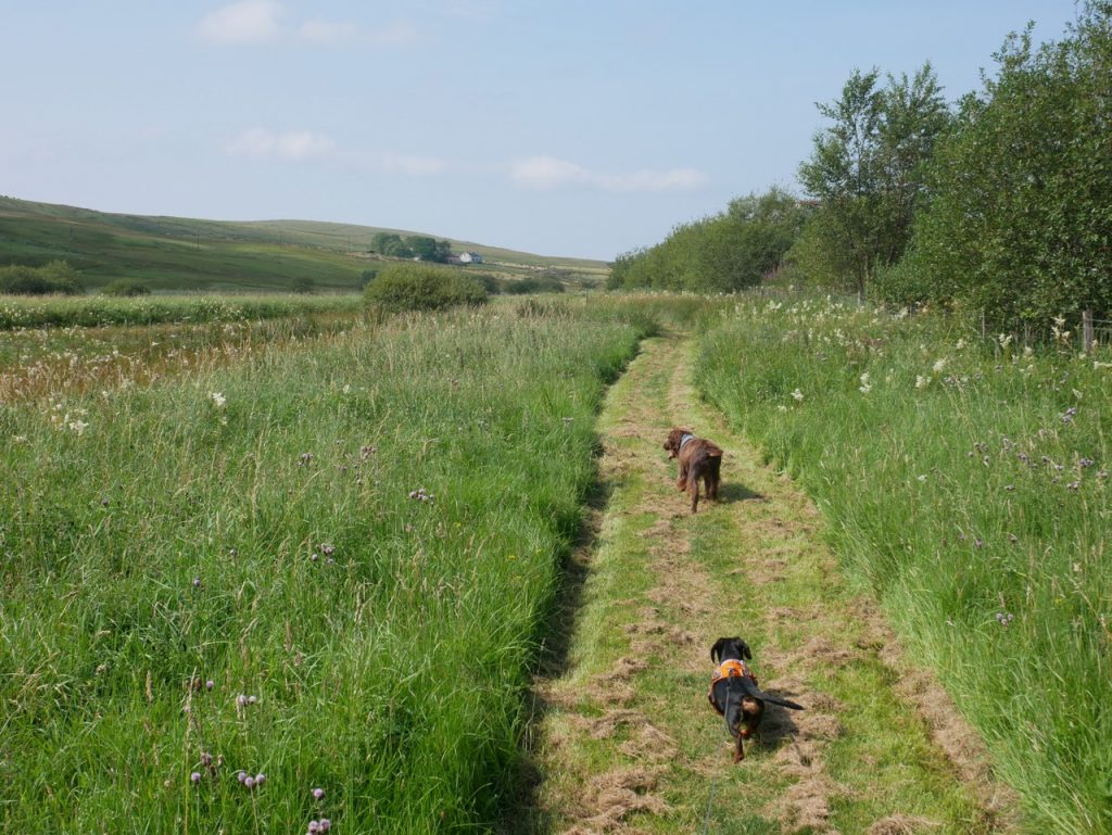
Though this had been a railway serving the many mines around here, it is meadow now, and the its wildflowers were enjoying their day in the sun. Eyebright is easily overlooked, but it was plentiful for many miles beside path. The meadow’s grass was high enough to brush our fingertips but there was a mowed path, so Mabel trotted along rather than having to bounce. Half a dozen grouse (I think) exploded out of the grass as we walked past. The dogs paid them no heed. I basked in the sun, sniffed the meadowsweet, and smiled inwardly that I did not have anosmia.
A rather wee River Ayr
There are several wooden footbridges to carry walkers over gaps in the railway where once there would have been small bridges. But we had to leave the old railway to cross the River Ayr on a small footbridge. It is no more than a wee stream here. The river was over to our left but hidden by the long grass until we crossed it. Then it was there beside us.
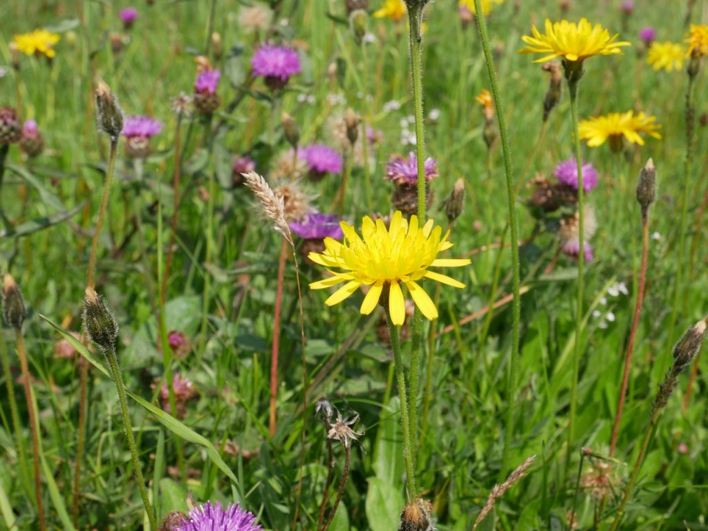
Sheep in the fields watched us pass, small birds and an occasional bird of prey hung in the cloudless sky and the hedgerows were bright with wildflowers. The usual suspects were there, dandelion, knapweed and clover, and a few less common sights like yellow toadflax. The day was warm enough that we enjoyed the shade of trees when we came to them but not too warm to walk in the sunshine when we had to.
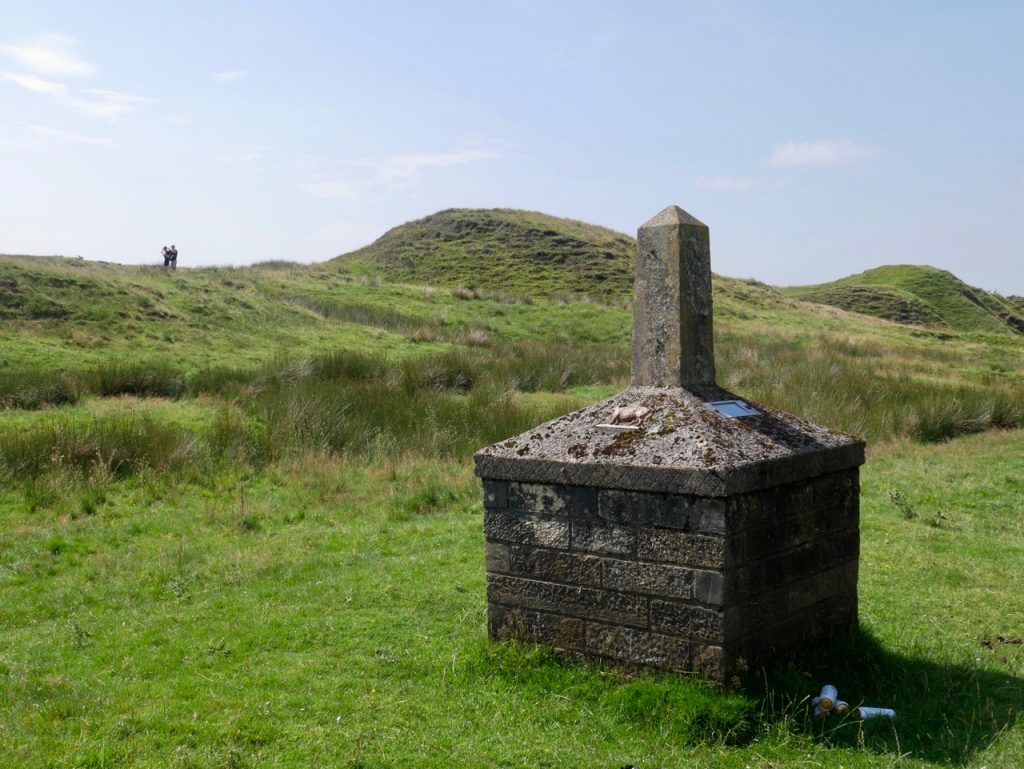
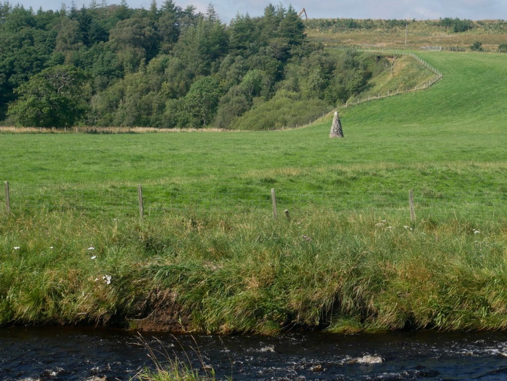
We had our first water stop in the shade of trees near the old viaduct. The Auldhouseburn viaduct has been reduced to several piles of rocks with a couple of surviving uprights looking like watchtowers from a distance. There is a group of standing stones but I didn’t know if it was an ancient ruin or just bits of viaduct. A circle of stones can be seen on aerial/satellite images but are part of a larger cross with celtic-cross shape. I presume it is a modern construction.
Looks like a stone circle
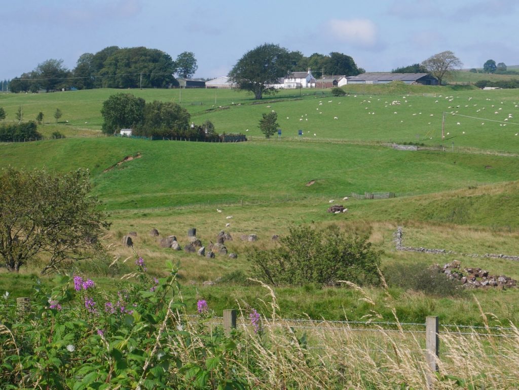
Near Crossflatt we left the old railway for residential but decidedly rural roads. It was uphill for a few hundred metres but then we were back onto the mown grass of the old railway. I don’t know why the River Ayr Way diverts from the railway here. Looking back once we got back to the railway it looked as we could have walked on moorland rather than roads. A rusting kissing gate suggested that the route might have once been more direct. We had a look up to Cairn Table then set off along the barbed-wire lined path.
I saw the clock tower at Kames long before we got there. It looks like a haunted house from a horror film. Kames has a massive railway platform, giving some inkling of how busy these railways would have been in their heyday. We went through the walker’s car-park and along the track used when climbing Cairn Table.
An information board told us when we were passing the site of MacAdam’s tar-works but there is nothing left to see now. There is a cairn built from the stone of the tar works on the way up the hill, but we turned right towards Tibbie’s Brig.
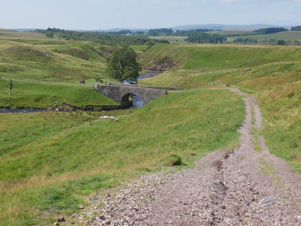
Garpel Bridge (Tibbie’s brig)
The bench near Tibbie’s Memorial had been bagged by a couple of walkers already. So we were left with the bench before the bridge over Garpel Water. Unfortunately there was no shade except for wee Mabel who could sit under the bench. It was as good a place as any to stop for lunch and as it was our lunch spot turned out to be the best choice. A dozen or more walkers and a quad-bike carrying four people settled themselves near the other bench.
The memorial near the bridge is to Tibbie Pagan, a poet, and author of “Ca’ the yowes tae the knowes”, which Robert Burns is said have turned into a popular song. Not one I’m personally familiar with but you can hear it here.
Tibbie’s Memorial
After lunch we crossed Garpel Water, and had a look at the memorial. It would appear the tradition is to leave a can drained of its beer beside the memorial. Unfortunately we hadn’t thought to bring any cans. So, embarrassed by our predicament, we had no choice but to slink away without leaving an offering.
There are large chunks of rock on the moorland that look industrial rather than natural. It was liberating to walk without barbed-wire beside us. It would have been a good place to let the dogs run free but the track was being used for quad bike practice so the dogs stayed on their leads.
Wooden steps brought us back up to the railway and away from quad-bikes. The raised railway gave good views of the nearby hills, until we got to a tree-lined section whose muddy puddles allowed the dogs to cool their feet and have a drink but had us watching our steps. Then we came to the ambiguous waymarker.
Tree-lined old railway
The railway carried on, there was a gate to our right. The waymarker was short of the gate and could either have been indicating a right turn or suggesting we carry on. The gate had a kissing gate beside it, the route straight ahead looked little used. Cursing the God of Waymarkers, we chose the gate and found ourselves in a field with sheep but no sign of a path. But we struck lucky and our chosen direction brought us to another kissing gate which we took as a sign we were on track. On we went until we found another waymarker to a woodland path.
We passed a lone gravestone down by the Wellwood Burn and had enough time to ponder who might lie there before coming to an information board. The grave belongs to William Adam, a covenanter murdered as he read his bible, while waiting for his fiancée.
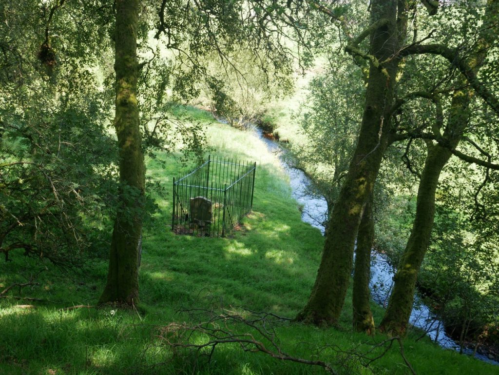
Covenanter’s Grave
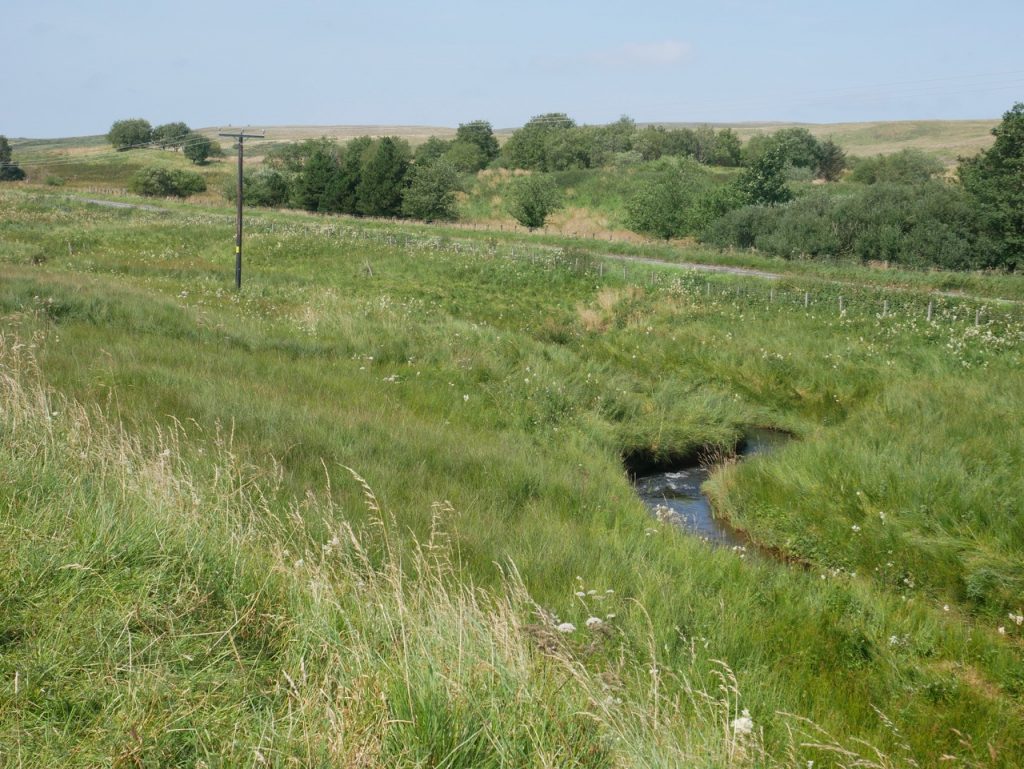
After this we came back to the River Ayr and walked along its southern bank. The walking was easy along here, the path well defined with boardwalks where the ground might otherwise be very boggy, and barbed wire fences protecting us from whatever lurked beyond them.
River Ayr near Wellwood
We could hear traffic now and knew we were getting close to the A70. We needed to cross both the river and the road, so I was pleased when I saw the road and a bridge. A kissing gate (unadorned by signs) took us onto a track where sheep stood looking at us. They skedaddled as we walked towards them but beyond them there was no more path.
We were in a small wood. The road on our right, fence between us and it as far as we could see. We went back to see if we could have carried on under the road bridge. No. We consulted the map and pressed on. There is a large hollow in the woods and we decided to walk around it rather than walking down and climbing out the other side. I doing this we found a path by the fence. There was a large body of water beyond the fence which I hadn’t seen on the OSMap. (But that was my mistake – it’s there alright, a flooded open-cast mine, Powharnal Loch, but much larger than shown on the OS map). I presume that walkers take a variety of routes through the trees so no path has developed. The path carries along the the fence and then curves towards the main road.
We crossed the A70 near an electricity substation, a River Ayr Way sign at a kissing gate on the across the road confirming the route. There is then a short stretch of woodland. This offered shade and was a good place for a quick break and to look at the map again. It seemed the RAW crosses the river but then almost immediately crosses back. This seemed strange, but we would see where the way took us.
Coming out of the wood near the bridge we found a River Ayr Way sign. (Woo-hoo, we were still on track!)
After using Laigh Wellwood Bridge to cross the river we found another kissing gate. It was in a somewhat dilapidated state, didn’t have a RAW sign and the riverside “path” after it was anything but a path. It was overgrown, eroded to be uncomfortably narrow in places and worrying both because of the risk of falling in the river and a growing concern it was not the correct route.
We came to a narrow footbridge which offered to take us from our overgrown riverbank to the other, more overgrown bank. Signs told us we were beside the site of Robert Lapraik’s House (friend of Robert Burns) and that the other side of the bridge was Aird’s Moss. We decided that we had gone astray. The map wasn’t particularly clear, the bridge wasn’t marked on it and crossing would leave us on the wrong side of the river as far as getting to the car was concerned. Looking at my photos I see that the sign we were reading actually has River Ayr Way printed in the top right corner (just visible on the photo above).
We were about to retrace our steps but decided to be 21st century and consult the internet. For once I had 4G. The walk description confirmed we were on the right track. We were to cross a bridge by stepping stones at Aird’s Moss. Well this was Aird’s Moss but there were no stepping stones. I presumed they were beneath the water.
The steps up to the bridge were more like a step-ladder than a staircase, the rise too large for wee Mabel (who had to be carried on and off), the steepness questionable for Christy (who managed to scramble up). Mabel did not like being carried. Anyway we all got across without falling down or in between the steps. I’ve since read that the original River Ayr Way footbridges were washed away the in their first year. These replacements are built high to survive the river’s spates.
Aird’s Moss
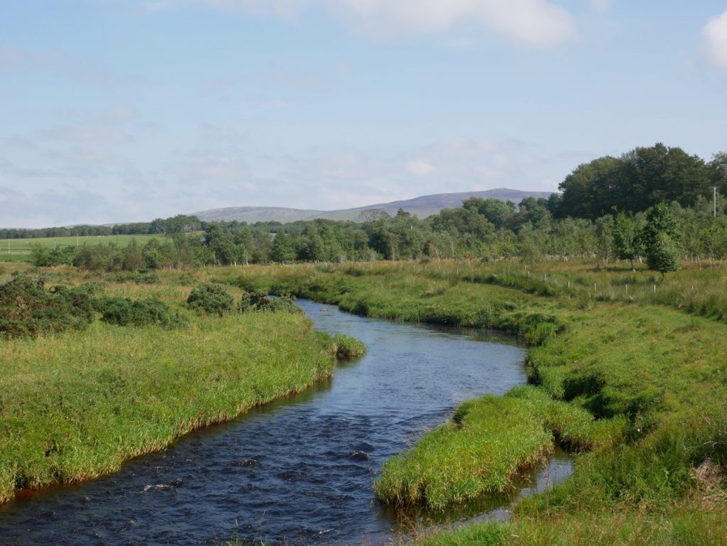
We made our way along the more overgrown riverbank around Aird’s Moss without spotting any of the birds it was supposed to harbour. I did see a couple of large brown, long necked, partridge-shaped birds running along the opposite bank. And a heron took to the air ahead of us with what seemed a surreal slowness. We came to another kissing gate and stepped out onto grassy wetland, sometimes with an identifiable path, sometimes without, but always close to the river. A monument across the river commemorates John Lapraik, whose house we had passed earlier and a ruined farm building.
Lapraik Monument
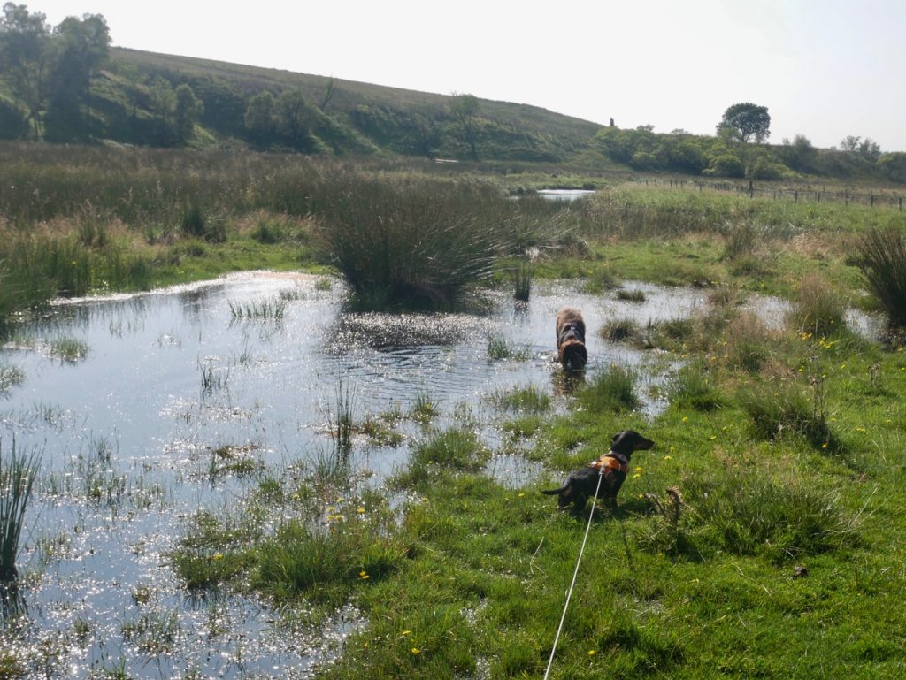
The ground was ‘wet’ and we had to pick our way around large areas of standing water while the dogs happily trotted through the mud. I wondered if this might be a sign we were near the car, since the dogs usually get muddy just before reaching the car.
As we walked, I felt my tank emptying. We were still on the ‘wrong’ side of the river as far getting to the car was concerned and I found myself running through the options for crossing if we didn’t find a bridge. I was looking for possible crossing points rather than enjoying the walk itself. The river looked pretty high, its water was dark. There was no obvious place to safely wade across.
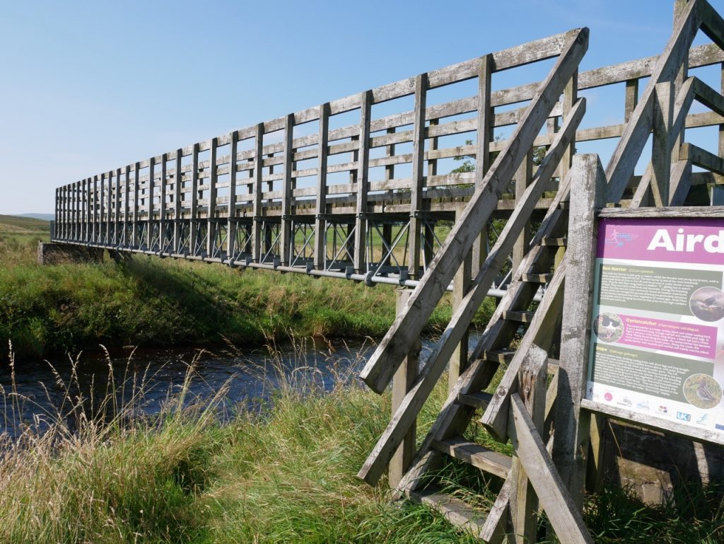
Then eagle-eyed Audrey spotted a bridge in the distance. It looked a long way off but gradually drew closer revealing itself as a twin of the Aird’s Moss bridge, but to make access just a tad more challenging, the lower step was missing. Audrey went first, then Christy, and I followed with the dachshund. And from the bridge I could see the car. Just a couple of hundred metres of long grass and we had made it. Our first section of the River Ayr Way complete. We could actually see the bridge from the car, but neither of us had noticed it when we parked.
The last bridge (from the car)
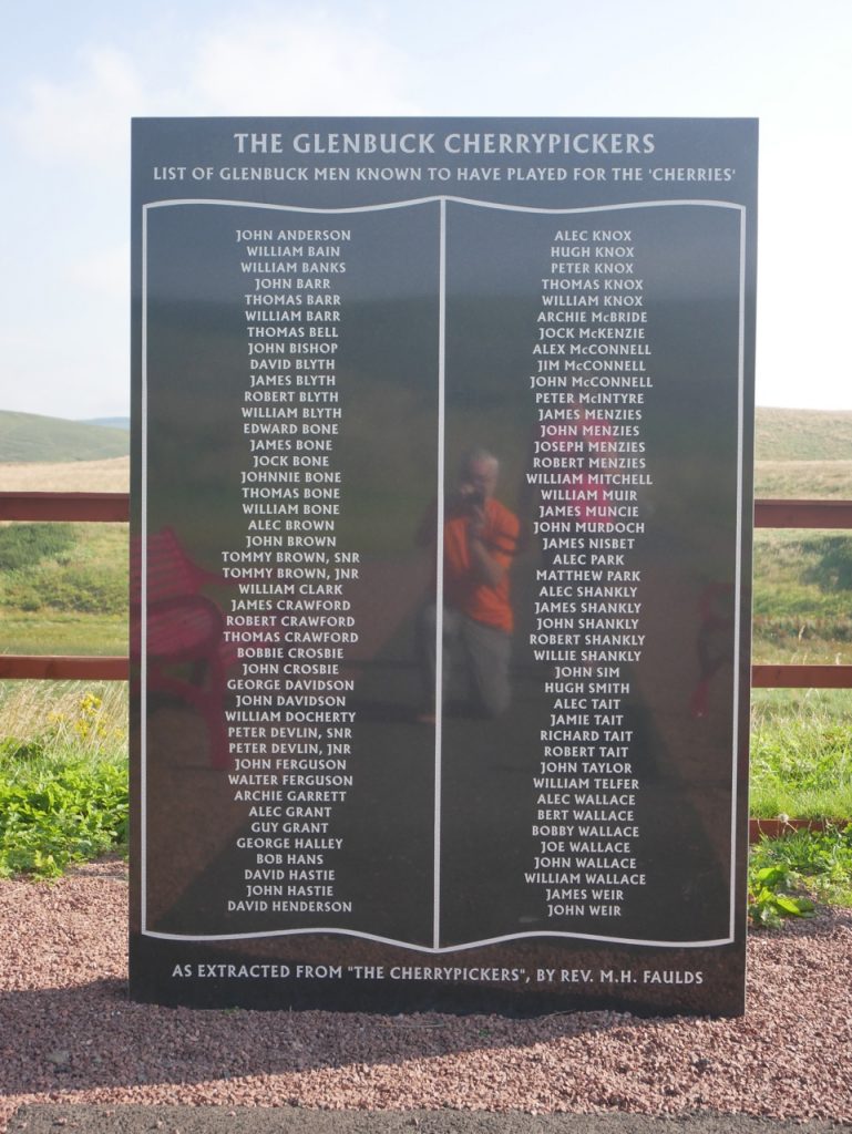
We decided to call in at Glenbuck Village on the drive back. There are several memorials: to the Glenbuck Cherrypickers, a football team that included Bill Shankly; to Queen Victoria’s Golden Jubilee; to John Cameron, a Covenanter martyr; and a stone which had come from the now demolished Glenbuck Parish Church, showing a burning bush and an excerpt from Exodus.
[sgpx gpx=https://www.screel.co.uk/walks/wp-content/uploads/2020/08/RK_gpx-_2020-08-13_1105.gpx]
