1.83 miles 53m ascent 100m

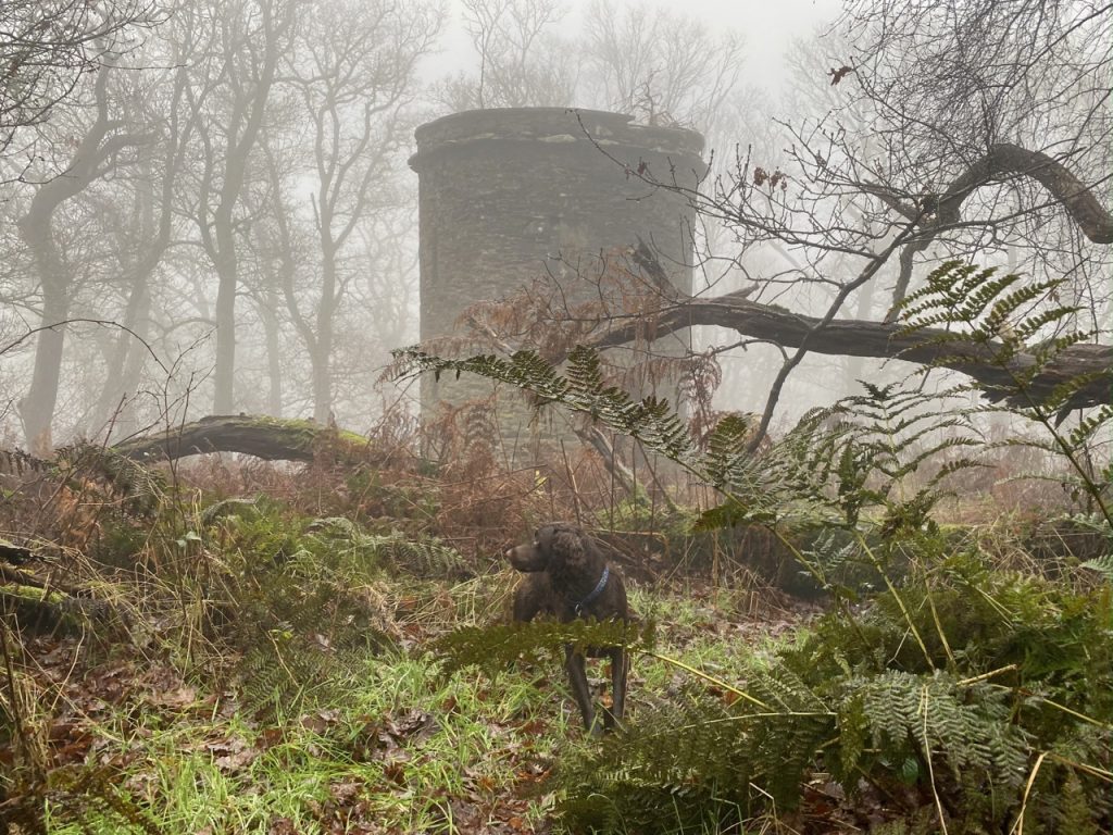
The very last of the “Monicas”. I was pretty certain I had been to the top of the this wee hill, but enough doubt remained that we went to check. And yes, it turns out I have been to the top several times. The wee path from the road up to Lennox’s Tower goes right over the highest point.
A tower on the estate of Dalskairth, built by a man the name of Lennox, who at that time was the proprietor of Dalskairth. It is about 30 feet high and it was built about 20 years ago.
Kirkcudbrightshire OS name book, OS1/20/70/96, 1848-1851

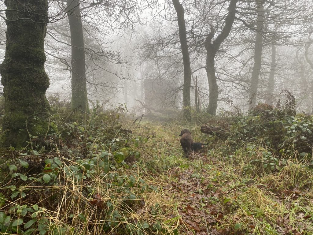
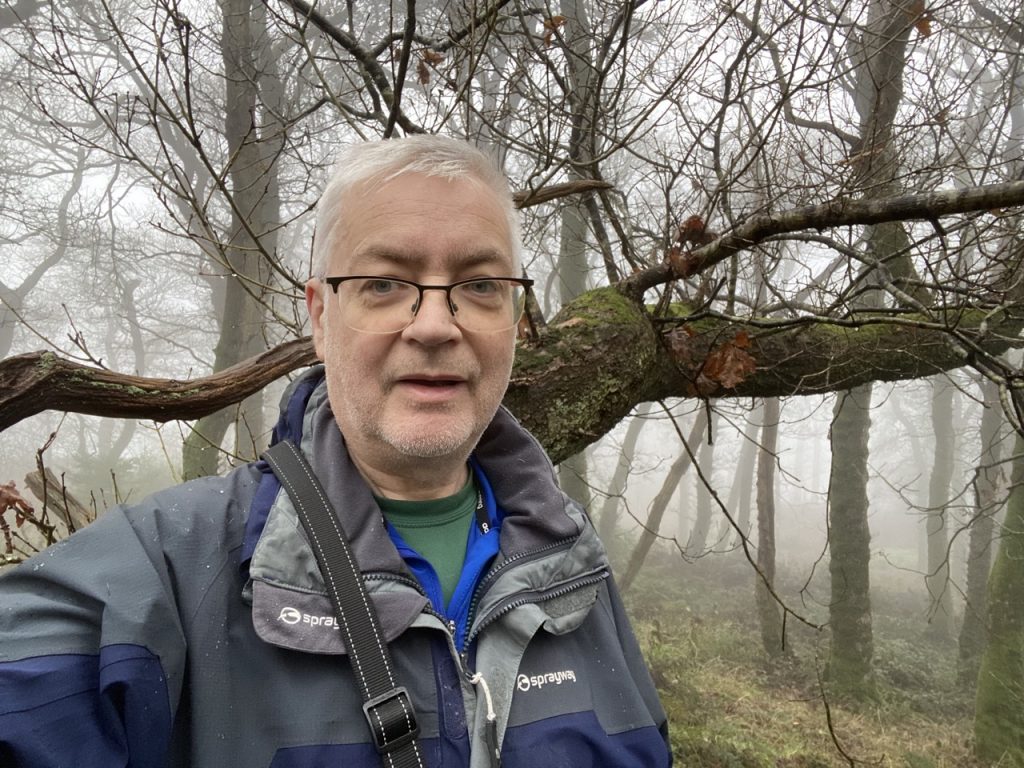
It wasn’t raining but it was very, very wet indeed. I was taught that one should never describe something as “very, very something” but that construction just feels right. Water dripped from my sleeves and glasses. The dogs were fully saturated.
Dalskairth Hill is an “asterisked wee Monica”. See below for explanation.

DEFINITIONS
Monica = a hill in Mabie with its name on the OS 1:50k map.
Wee Monica = a hill in Mabie with its name on the OS 1:25k but not the OS 1:50k map.
Asterisked (wee) Monica= the upper contour runs, at least in part, within Mabie, but the highest point is outside the boundary.

