2.54 miles 1h 46m ascent 126m
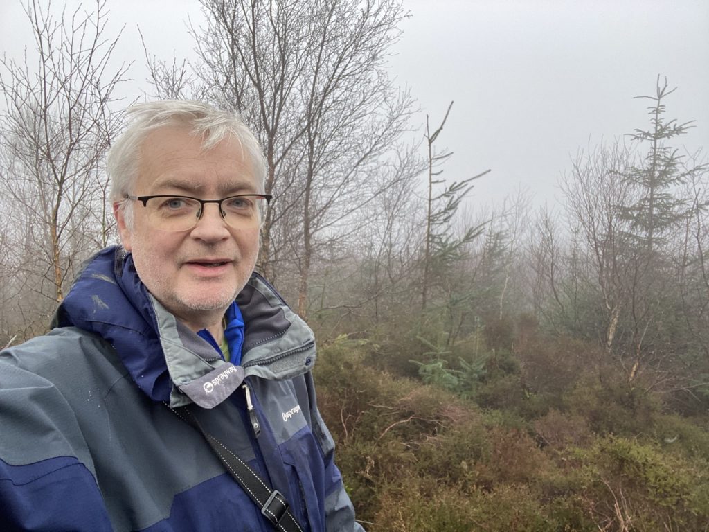
A short walk, most of it on forestry roads, but a little taxing off piste. I had tried to follow the obsolete MTB track previously, but couldn’t manage it with the dogs. This time I intended to go up what would once have been the firebreak (dense bracken) running between Lochbank Hill (newly felled) and Craigend Hill (dense young woodland).
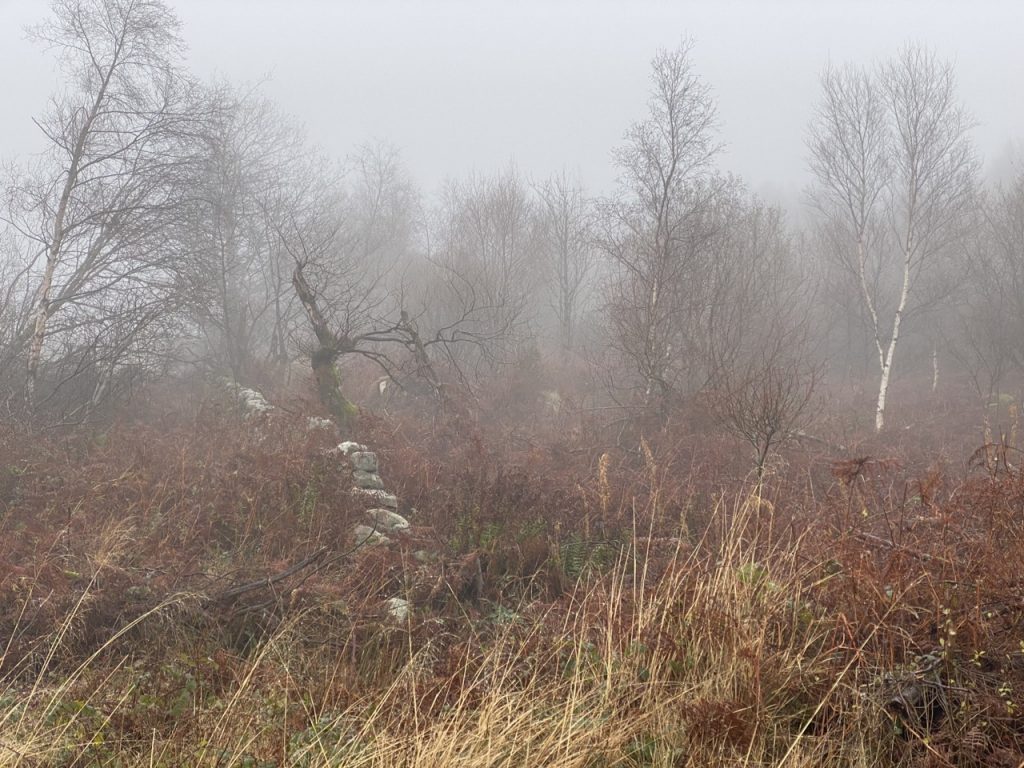
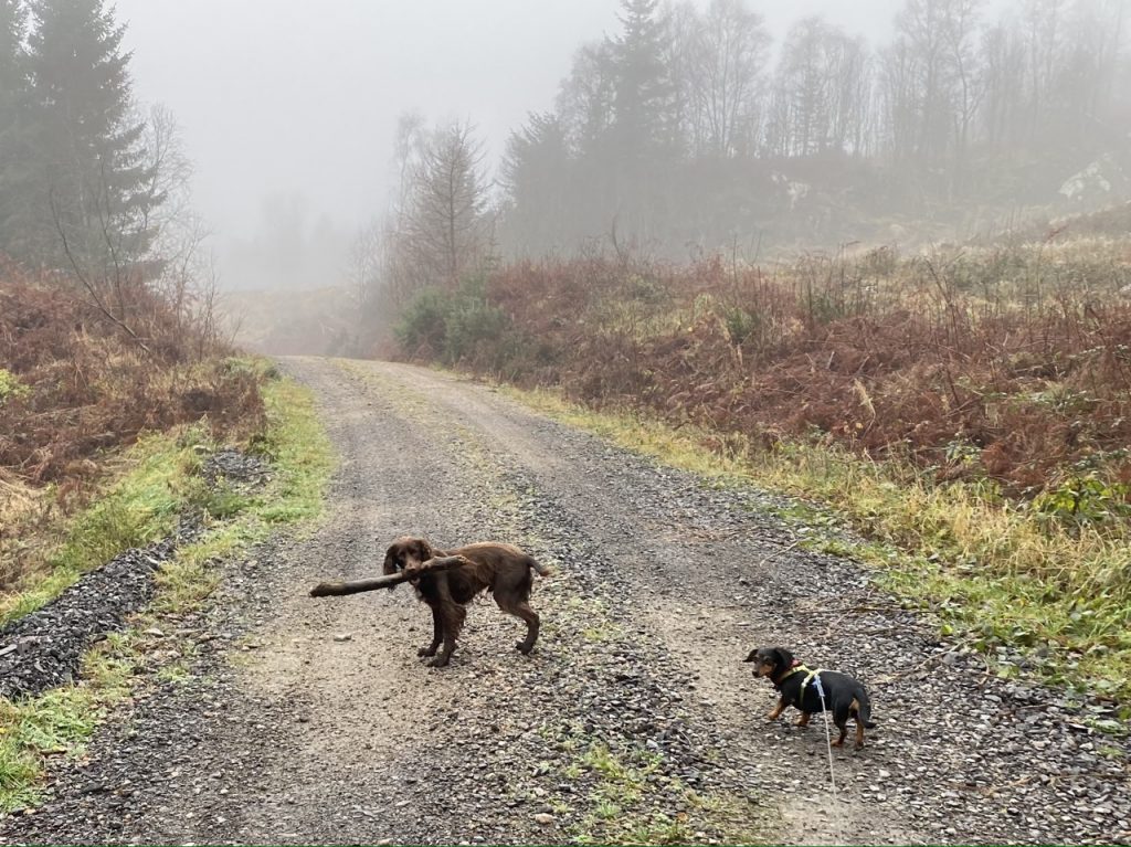
We actually had it easier than I had been expecting. The forestry vehicles had left a trail up the side of Lochbank, with a bit of climbing over fallen branches we got up just short of the col. Then a fallen section of wall let us into the bracken and up to the trees
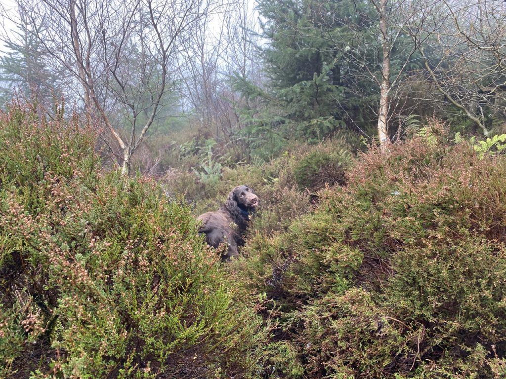
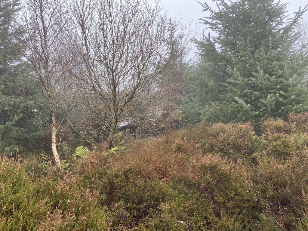
A wee bit of scrambling up the heather, using trees as handholds had us in a jungle of tangled vegetation. We were going uphill so it had to the right way.
We came to a wooden section of the MTB track. I had to climb over it on the way up and crawl underneath on the way back. I had thought of following it on the way down, but soon ditched that idea as unworkable.
The highest point of the hill is actually much closer to the MTB track than the OS map would have you think. I continued on towards where the spot height is marked but the ground was falling away quite quickly and I was clearly already at the top. Which is where older OS maps show it.