6.93 miles 3h 26m ascent 121m
Langwathby-Temple Sowerby (6.4 miles of the Eden Way)
The days grew shorter, frost clung to morning windscreens and we were venturing further away with each leg of the Eden Way. So we had decided to give the Eden Way a rest until the days were a little longer. But Monday promised to be dry with a temperature of 5o. Sunset would be 15:58. Perhaps we could squeeze one more short leg into 2021?
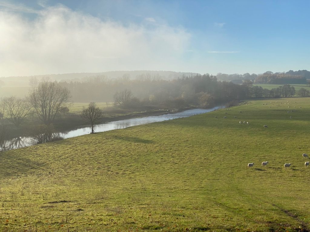
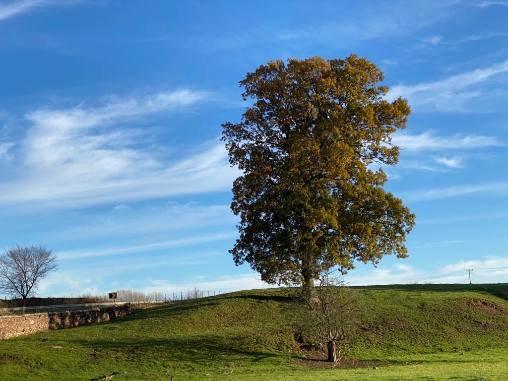
The day dawned. It was -2o so I dug out the dogs’ warm coats while the car defrosted. A temperature inversion cloaked the Solway in mist but the sky was blue and cloudless. When we arrived in Langwathby there was mist enough that we could look directly at the sun and see only a moon-like disc. It was chilly but not bitter.
The day was in large part a stroll along the B6412, with a couple of diversions to the river, first near Culgaith and then at Temple Sowerby. We started at Langwathby’s village green, found the road and walked southwards.
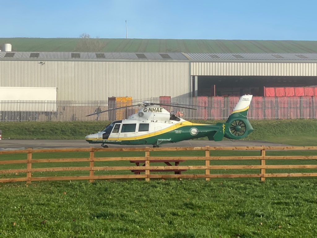
The Great North Air Ambulance Service has a base by the road and one of their newer helicopters “The pride of Cumbria II” G-NHAE, a Eurocopter Dauphin 2 sat on the apron. This helicopter only became an air ambulance earlier this year, having been used as an executive transport by Sir James Dyson (he of the bagless vacuum cleaners, fans etc) for 10 years before that.
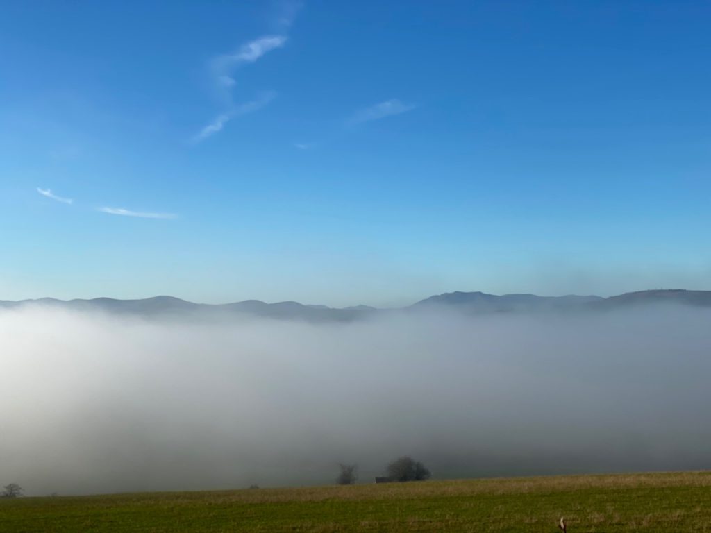
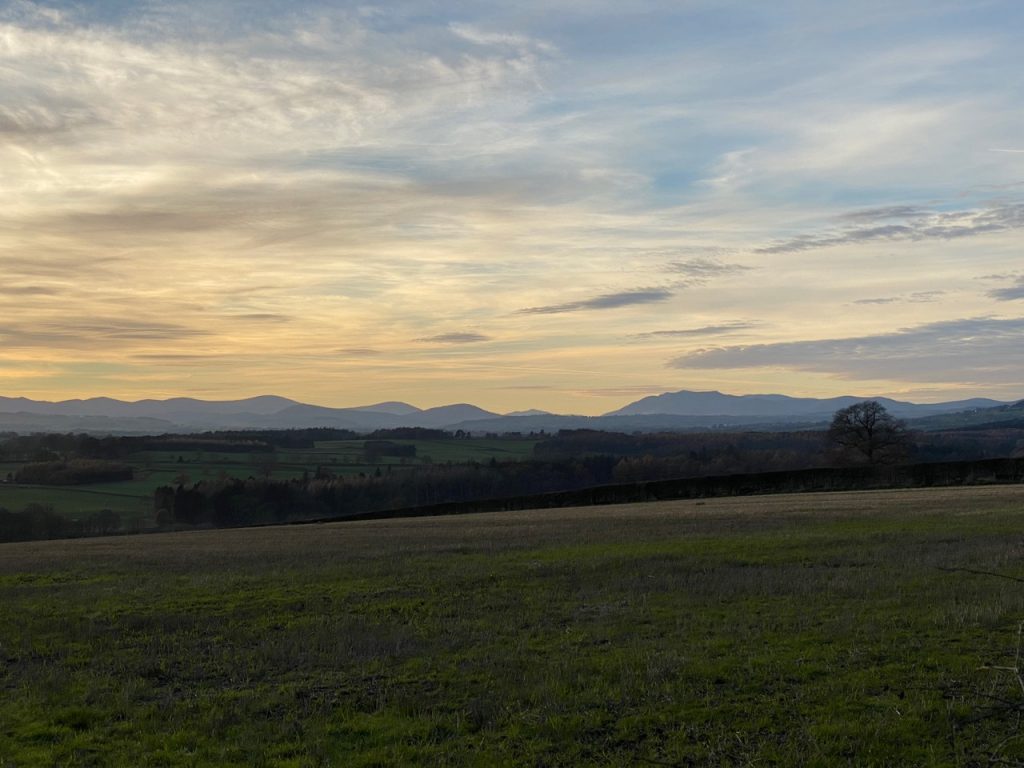
As we climbed away from the river the mist cleared to give us clear views of the hills on our left: Great Dun Fell (848m) with its golfball radar station, the second highest mountain in the pennines, and next to it, the unadorned Cross Fell (893m), the highest. The peaks of the lakeland hills were just peeping above the mist filling the river valley. Blencathra’s shape was recognisable and Audrey reckoned we could see the Helvellyn hills beyond it.
Where the road crosses the railway there is a white gate with a small notice informing us that the penalty for leaving the gate open was £1,000. Bloody Hell, why not just go the whole hog and make it a capital offence? £1,000! they could have installed a spring so it closed itself for £20.
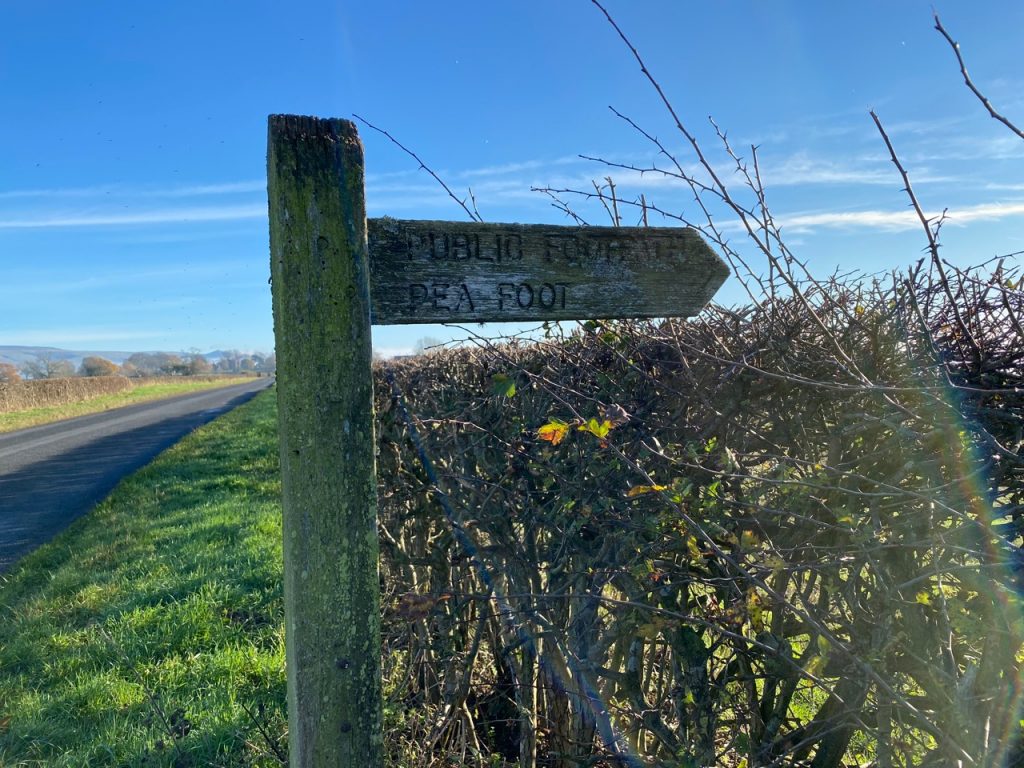
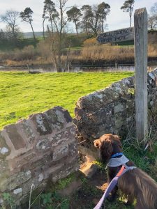
Crossing the railway was my aide-memoire to look out for the place where we were to leave the road, though there was still a little way to go. A finger post showed us the track to Pea Foot. Initially firm the track turned muddy after it had crossed the railway and turned towards the river. We did have a brief glimpse of the river a little earlier but this was the first time we had come riverside on this leg. The photo above “River Eden at Pea Foot” is taken from a gate at the end of the track. A sign to the right warned there was no admittance that way. We turned left down to the riverbank and into Hag Wood
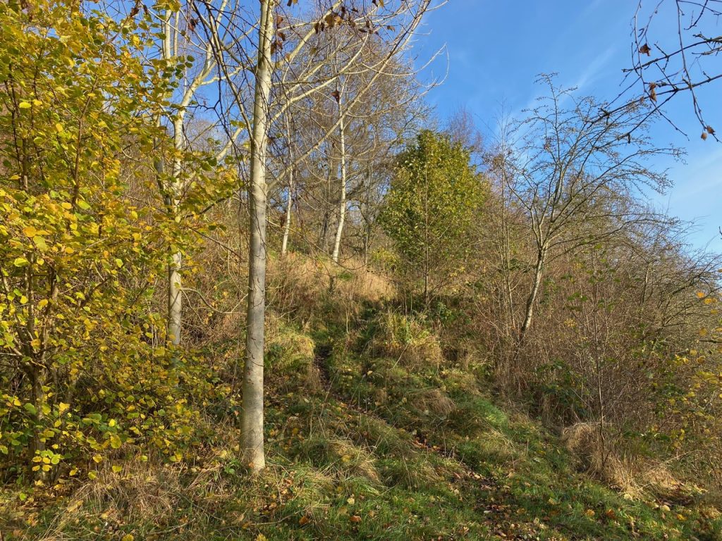
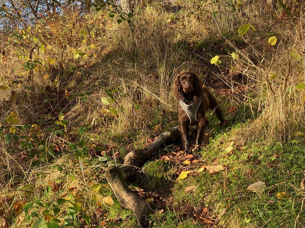
Hag Wood is named not for some old witch, but from haga, Old English for a woodland used for coppicing, which has also given us Hawthorn which started life as hagathorn. It was good to be off the road and walking by the river once again. The woodland was pretty in its autumnal colours but our joy was somewhat strained since we found ourselves on a narrow, muddy track that climbed steep banks then descended again only to repeat the process several times. The mud was the thin slippery sort that is wont to whisk one’s feet away, especially when descending, so we took our time, with the dogs running back and forth unconcerned. They don’t care how muddy they get. Hag Wood has two expressions, a “requires care” section that we just walked through and, beyond a stile, a “wide mown path” section which I presume is that used by Culgaith’s residents. The mown path gave way to a metalled track and brought us into village itself.
Culgaith’s name is Brythonic, meaning a narrow wood. I wonder if Hag Wood had been Cil Coed or Cul Coed before the Saxons came? The village now seems to be doing well with new houses being built on a new road, Otter’s Holt, which I suspect is named to paint a rural-ness onto these new builds. A holt is an otter’s den.
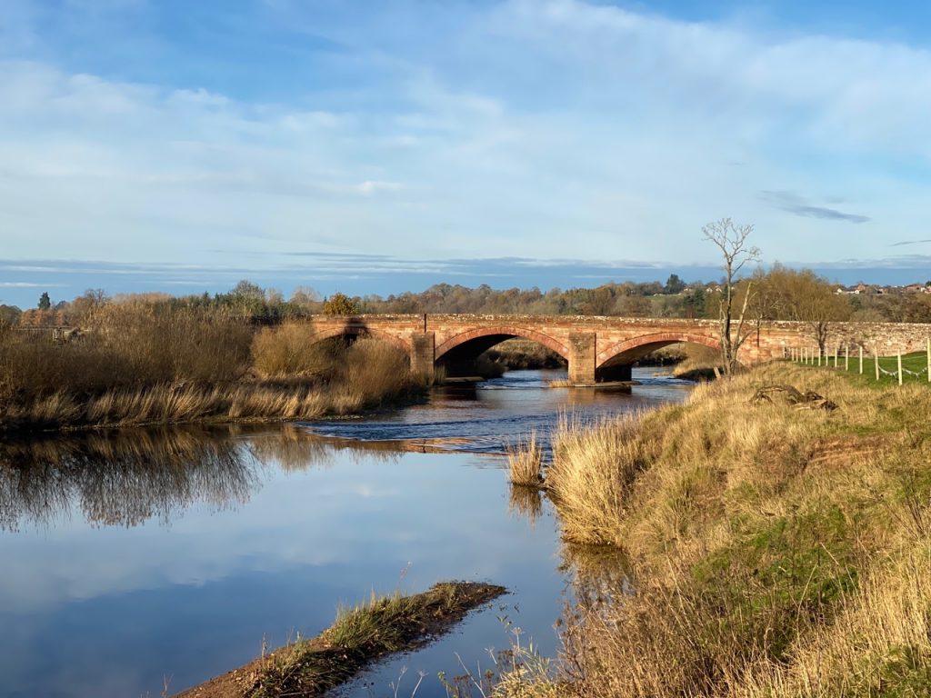
We left the village on a mostly verge-less minor road which brought us back to our old friend the B6412, and yet another sandstone Eden bridge. This one was built in 1748 after the original bridge had been washed away.
The B6412 has a TOTSO here (what’s that? you ask – a junction at which the road continuing straight ahead does not have the same number as the route you are currently following—you must Turn Off To Stay On that same numbered route). Admittedly, it wasn’t my first TOTSO but it was the first since I’ve heard it so called. I cannot wait to be navigating in the car…”stay on the B6412, there’s a TOTSO in about a quarter of a mile”. We were actually approached the TOTSO from the obverse, so it appeared to us as a T-Junction. This was the old A66 before Temple Sowerby was re-villaged, by the construction of a by-pass in 2007.
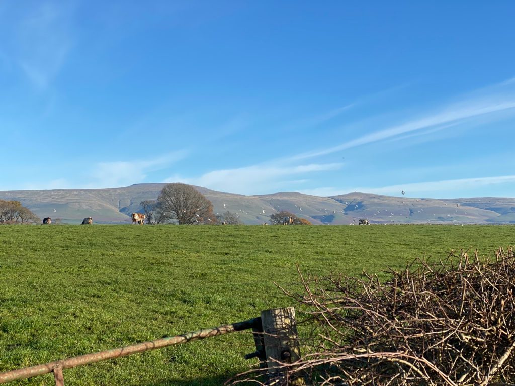
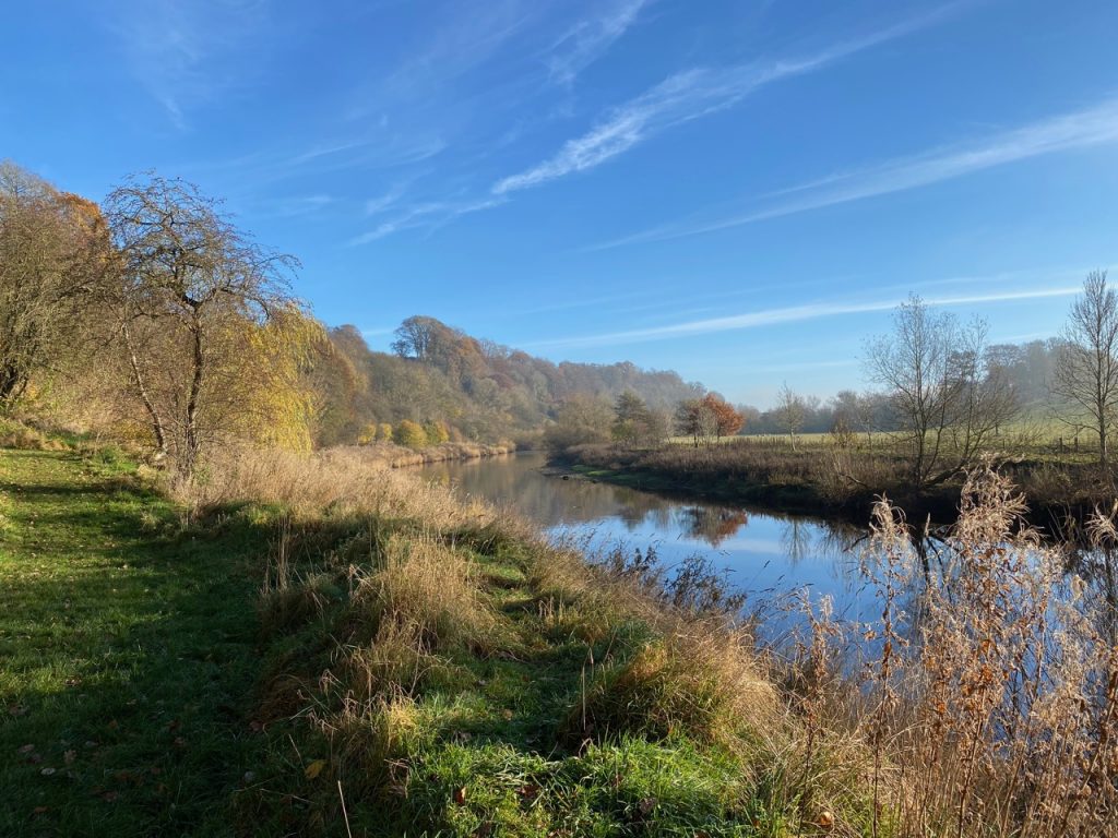
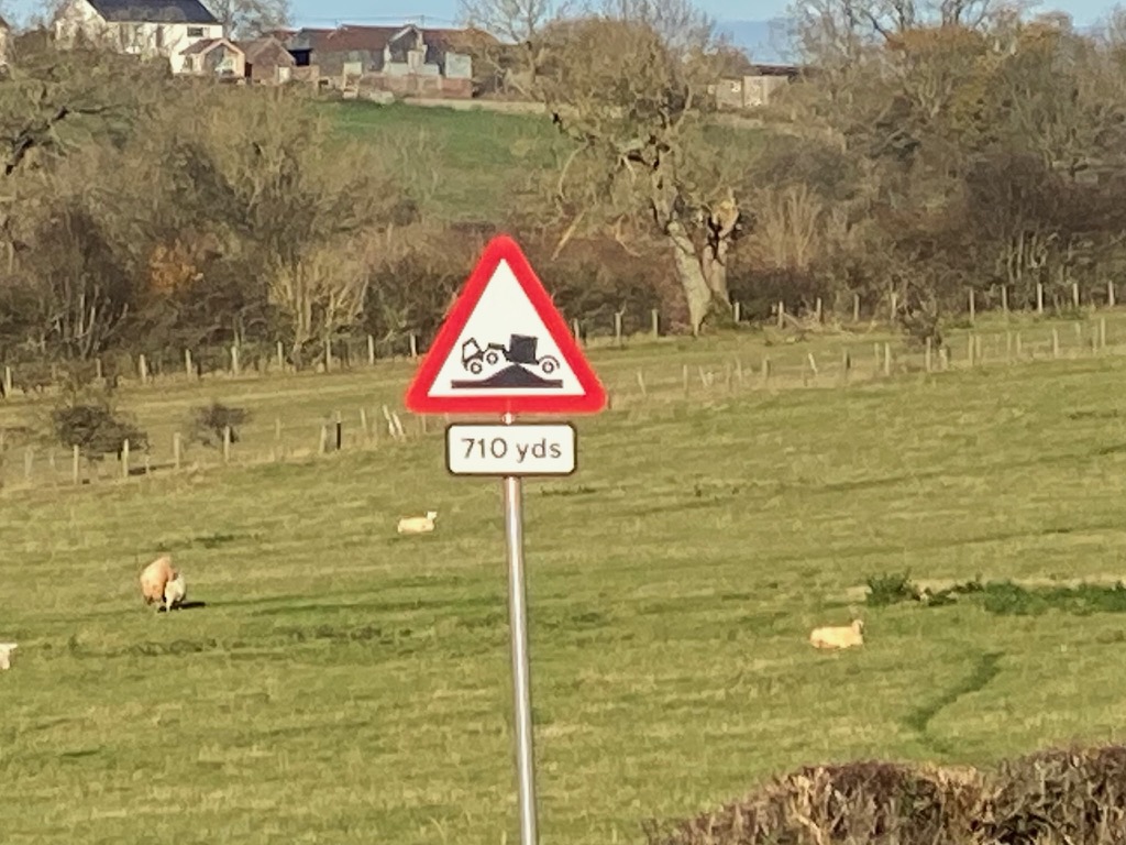
“Public Footpath Kirby Thore” on a signpost showed us where to rejoin the river bank, a wee gap in the wall giving us access. It was good to be alongside the river again. The sun was low in the sky giving the views a warm cast and the going was easy on grass beside the planted fields.
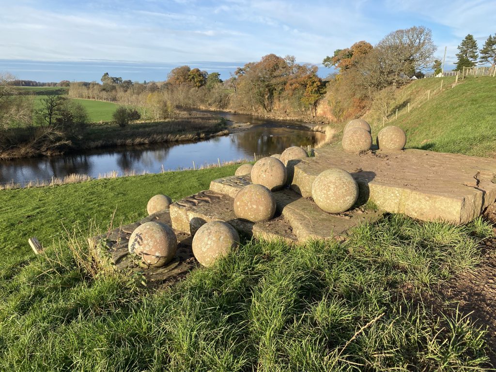
We were almost upon the next Eden Benchmark before we noticed it. This is “Red River” by Victoria Brailsford (photo at the top of the page).
According to the Eden Benchmark website: “The stepped slabs of Lazonby Sandstone in this sculpture represent the contours of the landscape and its light, shade, pattern, shape and form. The spheres, reminiscent of gigantic pebbles in a fast moving stream, are a powerful evocation of the river and its energy but also, like hugely enlarged grains of sand, recall the origins of sandstone in the shifting sand dunes of Triassic Cumbria“.
My thoughts were less poetic. I was thinking “it’s smaller than I expected”.
The benchmark is set at a spot with a beautiful view downstream and on a warmer day its steps would be a good spot for lunch. Looking upstream is less inspiring, the Temple Sowerby Bypass Bridge, styled like all modern road/motorway bridges, carryies the A66 over the river (I didn’t take a photo). There is plenty of space to walk under the bridge.
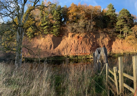
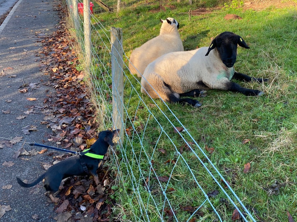
There were some impressive sandstone cliffs after the A66, made all the more beautiful by the evening sunshine. I had let Christy run loose along the river bank but had to put him back on a lead here since there were lots of geese and his spanial-ness was leading to over-excitement.
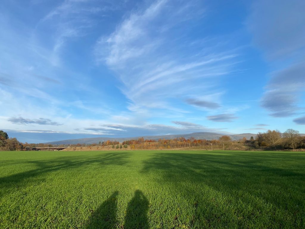
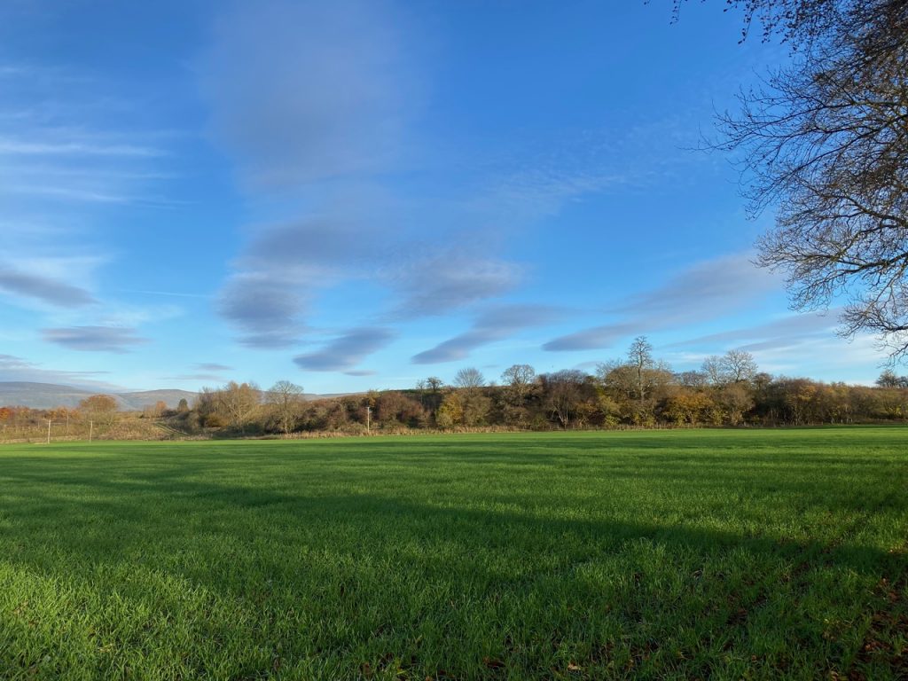
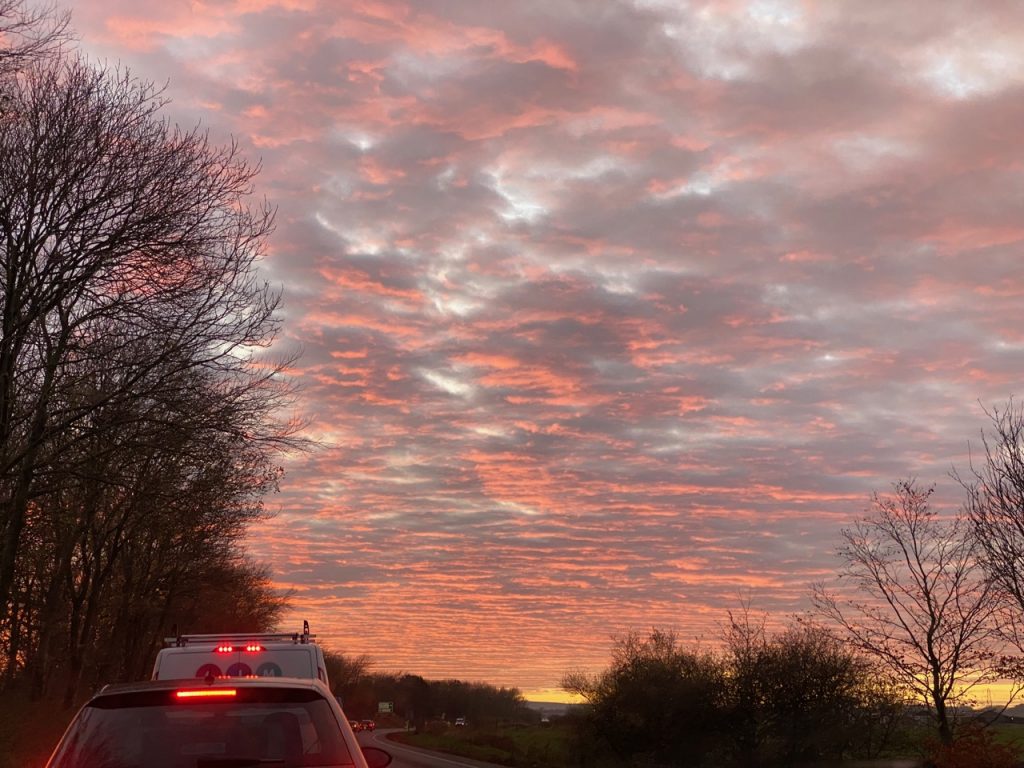
The fields were filled with shadows like those of unseen demons and the sky with impressive cloud formations. We stopped to admire them, but they seem to have lost much of their impact in the photos.
We walked on hoping we would not miss the track from the river to reach Temple Sowerby. As it was, a gate marked the place, not far from a stone seat dedicated to the memory of Bill Johnson.
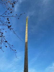
We didn’t spend long in the village but it would have been impossible to miss the 65 foot Maypole. Quite a few websites say that the weathervane atop it is dated 1891. I can correct them. It has “2000” spelled out in the wrought iron. Presumably it is one of the many millennial renovations.
Sowerby is not a particularly flattering name meaning a farm with poor soil (Norse), but the Temple in its name adds a little historical spice. The Knights Templar, or The Poor Fellow-Soldiers of Christ and of the Temple of Solomon to give them their full name, held Sowerby Manor until their (enforced) dissolution in the fourteenth century. Though “poor fellow soldiers” they were a powerful military and financial sect and it is not surprising that their name should have become attached to the village.
[sgpx gpx=https://www.screel.co.uk/walks/wp-content/uploads/2021/11/RK_gpx-_2021-11-22_1117.gpx]