10.37 4h 54m 33m ascent
An’ ah’ve thowt o’ auld friends that have wandered by Waver,
An t’ days o’ lang sen when we’d youth on our seyde,
Bit theer’s some o’ them sleep in ‘at abba, i’ churchyard,
An’ theer’s some o’ them scattered through ways far an’ weyde

Thomas Ellwood
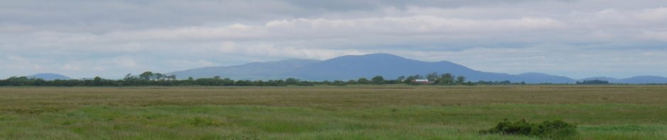
Criffel, sitting on the western horizon like a paused sunset, was our companion for much of this trail. But now our attention was drawn towards Anthorn’s radio masts, which shifted around like a compass as our direction of travel changed. We walked beneath a grey sky but in warm summer air. There had been heavy thunderstorms the day before and the the rain machines were taking a well earned break.
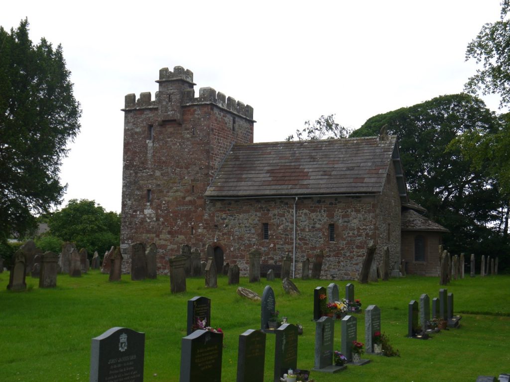
We began at Abbeytown, and since this was planned to be a relatively short walk we took a dawdled to look at the old Abbey. The inscription above the door reads Chamber fecit fieri hoc opus Anno domini mdvii. It originally read ‘Robertus Chamber’, who was the Abbot. It translates as ‘This work was done by Robert Chamber 1507.’
We left the churchyard to follow the B5307. A “public footpath” sign but with no discernible footpath on the ground, showed where last week’s walk should have emerged. The day was a little cool at first but it soon warmed up and my choice of one layer (t-shirt) proved correct. The hedgerows were well filled with wild roses and though the honeysuckle and meadowsweet were in bloom, their scent was not noticeable.
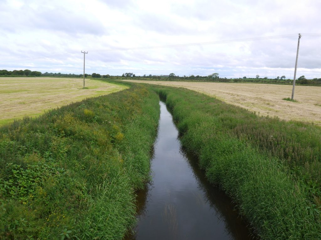
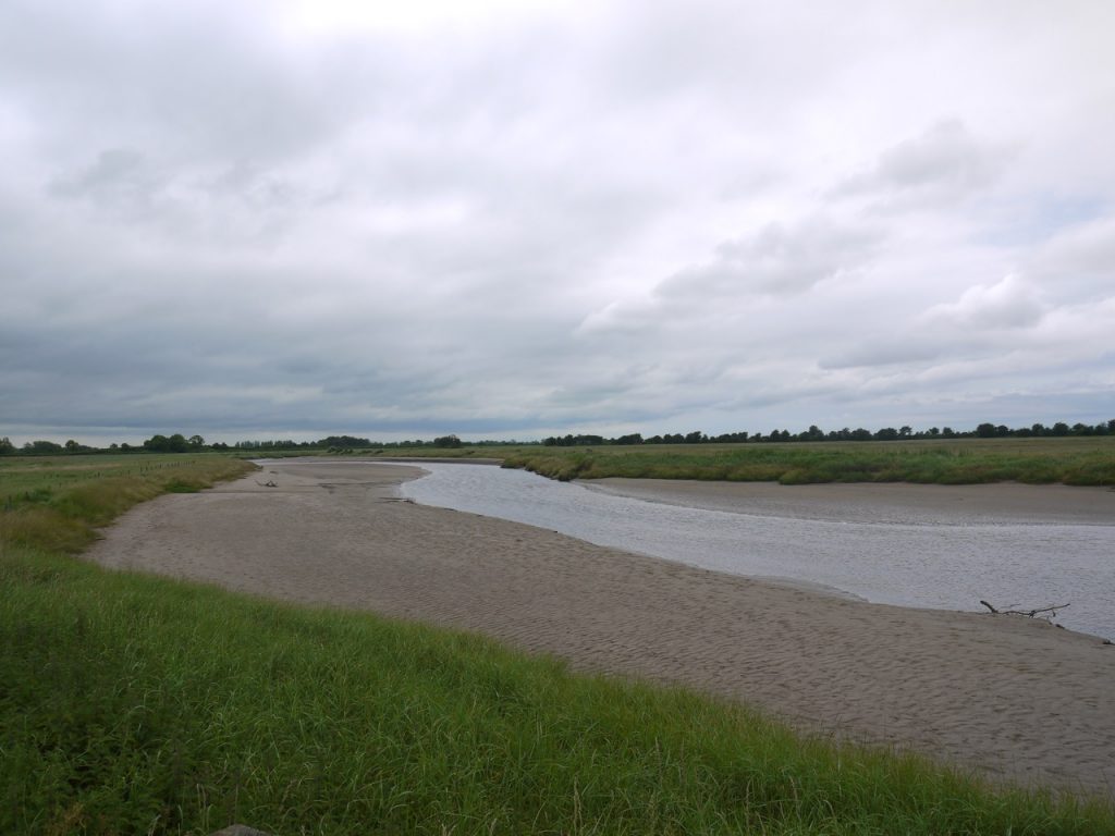
The River Waver was now a diminutive waterway which could have passed muster as a large drainage channel. On closer inspection though half of the greenery on either bank is actually growing in the water so the actual river is perhaps three times as wide as it seems. A two lane road bridge spans the river but it has no space for a pavement, so we hurried across when the flow of cars thinned.
River Waver
Most of the day was road walking and the traffic was busy enough to force us on to what verges there were quite often. The vast majority of drivers gave us a wide berth. But not all. In some places I was wary of stepping off the road because it was unclear if there were ditches hidden beneath the grass. The road winds around the corners of fields reflecting field boundaries of bygone days. This gives them an old fashioned feel and if the traffic were similarly old fashioned (horses and carts) our walk might have been carefree. But it is not the nineteenth century, cars are fast and quiet, and hedges mean drivers cannot see beyond the bends. So extra care is needed when walking.
Our route took us off the busy B5307 onto a minor road that skirting the marshes near Salt Coates but when we arrived the road was closed. Not a new experience for us. There was no explanation, and for some I recalled a photograph of a huge crater caused by a WW2 bomb going off in a field in Germany this week but dismissed bombs as a likely cause for this road closure. More likely the road had been swallowed by the marshes. We decided to assume the closure was for vehicles. We were pedestrian (the noun, not the adjective).
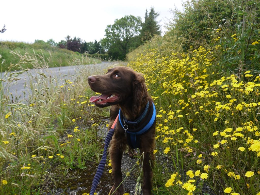
The road being closed I let Christy off his lead, free to snuffle about in search of sticks. The road crosses the pre-Beeching railway line, wide enough to accommodate two tracks. Ahead, and surprisingly close, we could see Anthorn’s masts. Actually about 3 miles away.
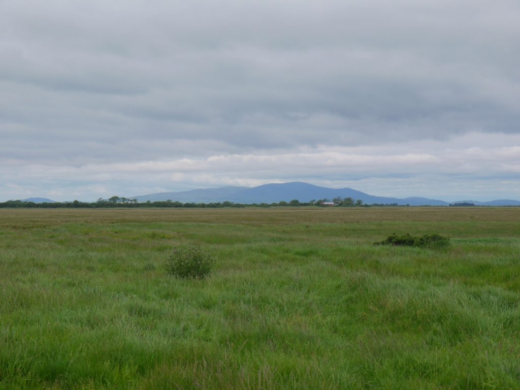
Criffel from Salt Coates
As we approached the marshes we spotted a track extending out beyond the road but once we drew closer we could see there was no track, just two parallel fences. The road turned left running beside the marsh with fences both sides but a wide verge. The fences were hung with flotsam showing how high the tides can carry the water here.
Where the road swings away from the marshes, close to Salt Coates farm, our way was blocked. We had found the reason for the road closure. A lorry was dumping its load of tarmac and workmen were laying it. There was no way past. I investigated the possibilities of getting into the adjacent fields but had to categorise these as ‘impossible’ on one side, ‘difficult’ the other. Audrey assigned the task to ‘not doing it’. We decided to hang about until the workmen had finished this particular batch of tarmac, but as time wore on it was clear that would be quite some time, so we asked them if it would be safe to squeeze by. Luckily there was just verge that the dog could avoid walking on the hot tarmac. Given the difficulty getting him to walk on the verge, and the close relationship between verge and ditch I perhaps should have just carried him. Anyway, we got past the tarmac without him treading on it or me slipping into a ditch. A double ended JCB a little further along spotted us coming and paused while we passed.
Then we were back on the B5307 and in no time at all arrived at Newton Arlosh, built following the 1303 inundation of Skinburness. We had both read the book containing that phrase and been intrigued by it. Inundation suggests something a little more than just ‘flooding’, including perhaps a suggestion of being overwhelmed. I vowed to research the 1303 inundation. It would appear that Skinburness and the way leading to it were washed away in flooding. The coastline would likely have been further west than in the present day. There had been plans to build a church there but when the village was lost, the church was built instead at Newton Arlosh. Those were dangerous times for reasons other than natural disasters so the new church, was also intended to provide a refuge from “the hostile invasions and depredations of the Scots”.
Newton Arlosh Church
The name ‘Arlosh” suggests it was built on land cleared by burning. It is strange now to think of this area as forested, though perhaps the burning was of scrubland. Complementing the fourteenth century Anglo-Norman Church, St John’s is a twenty-first century community defibrillator. There is also a pub, the Joiners Arms, where the road forks.
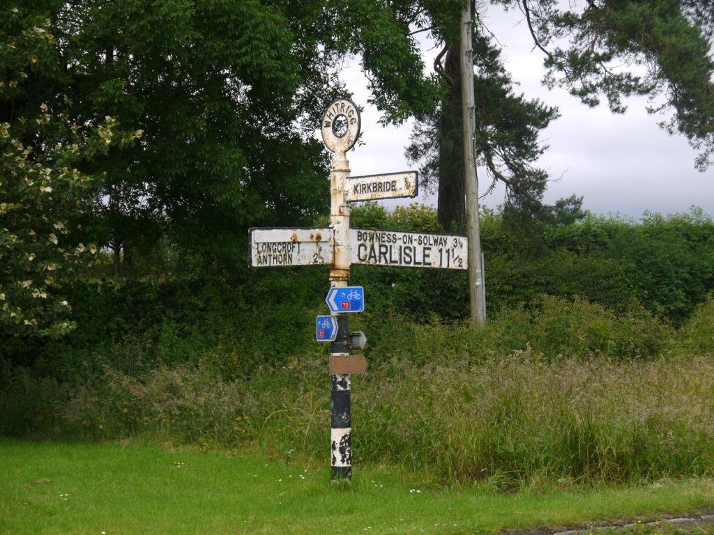
We took the road signposted to Powhill and characteristic RAF buildings ahead at Kirkbride airfield. We crossed a bridge which seemed not to actually cross anything but would once have spanned the railway of which no sign remains now. The large pond here was my reminder for where we needed to leave the road.
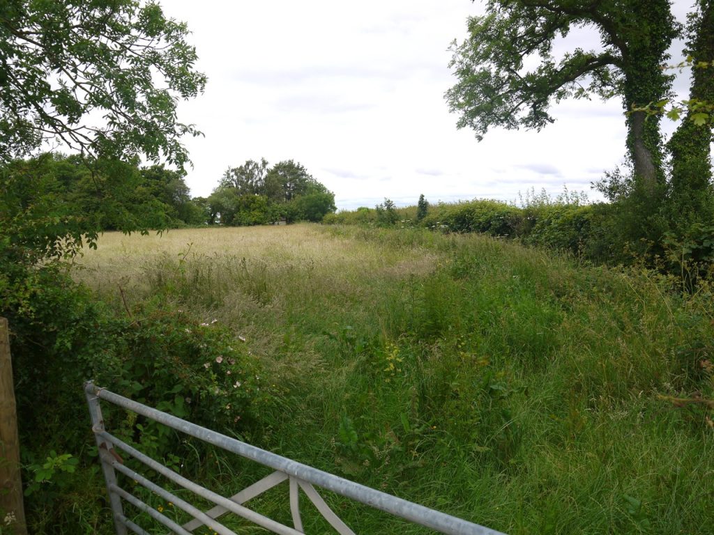
A signpost indicated a public footpath, but pointed across an overgrown field defended by a chaste gate (did not swing). It didn’t look to be a path so we walked on to where there looked to be a break in the hedgerows further along the road.
Public footpath
We reached Longlands, found no other path so headed back to the original sign and walked through the long grass. Another rusted gate bordered someone’s lawn. But across the lawn, behind the house, I spied another public footpath sign, so over we went. There was a stile hidden in the corner, almost lost amongst thornbushes and nettles. On its far side a deep ditch. Was this the way? We thought not, but could find no other way out.

Modern Stone Circle
There is a much overgrown dyke beside the ditch. Monks’ Dyke on the map. It was difficult walking, the ground hidden, uneven and narrow with a sharp drop onto a barbed wire fence at the left or into a deep ditch on the right. The plants behaved like evil spirits eager to rob us of comfort, stinging, pricking and whipping at every opportunity. I fought through them and found another stile, this taking us to easy walking through scented mayweed beside a field of wheat. Relief.
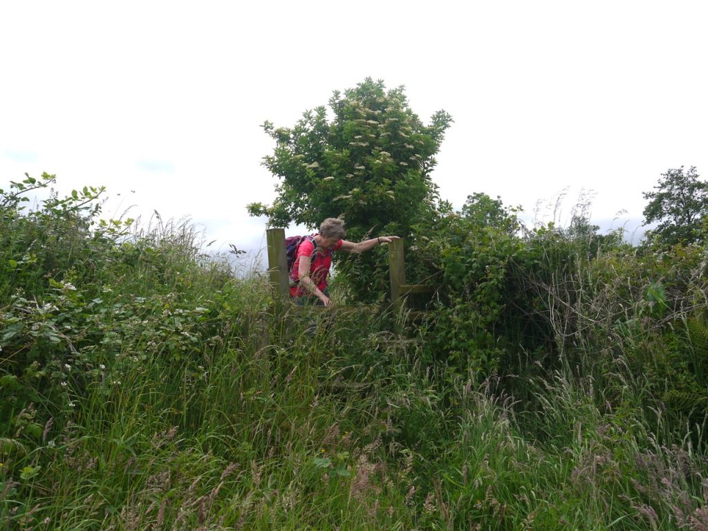
Stile on the ‘public footpath’
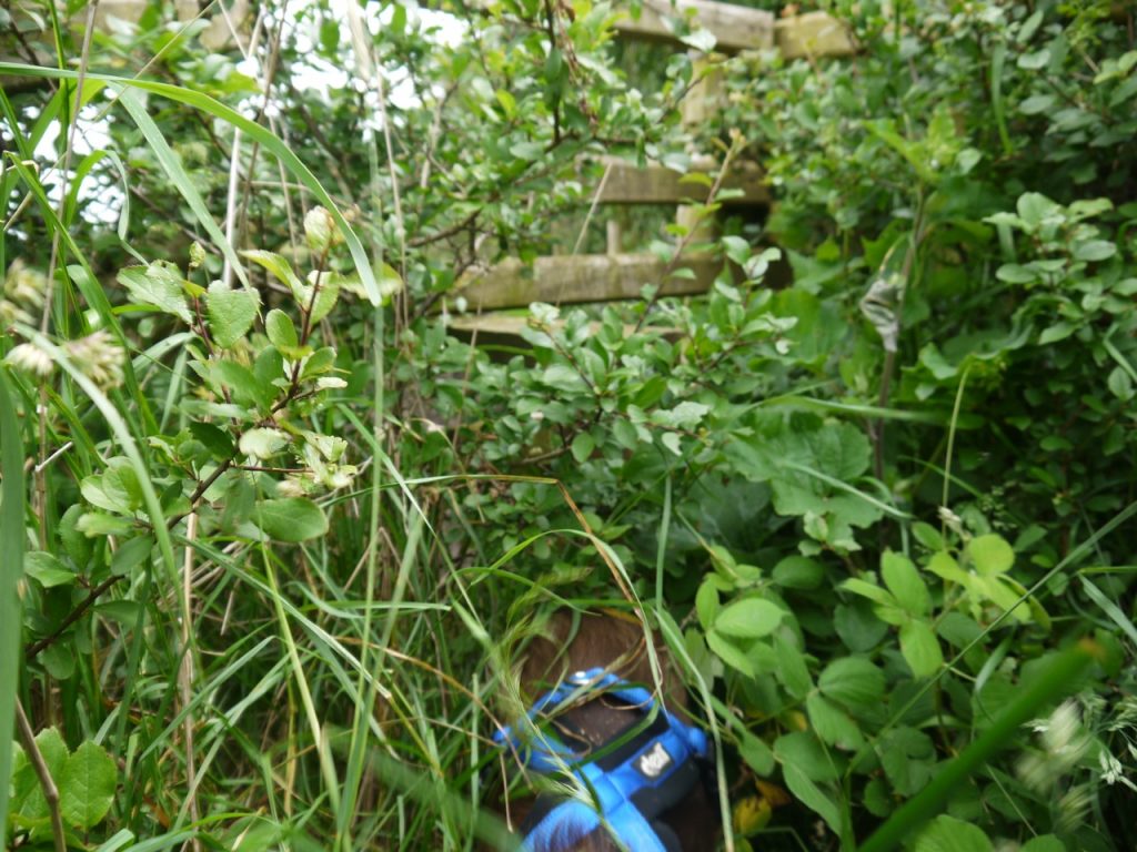
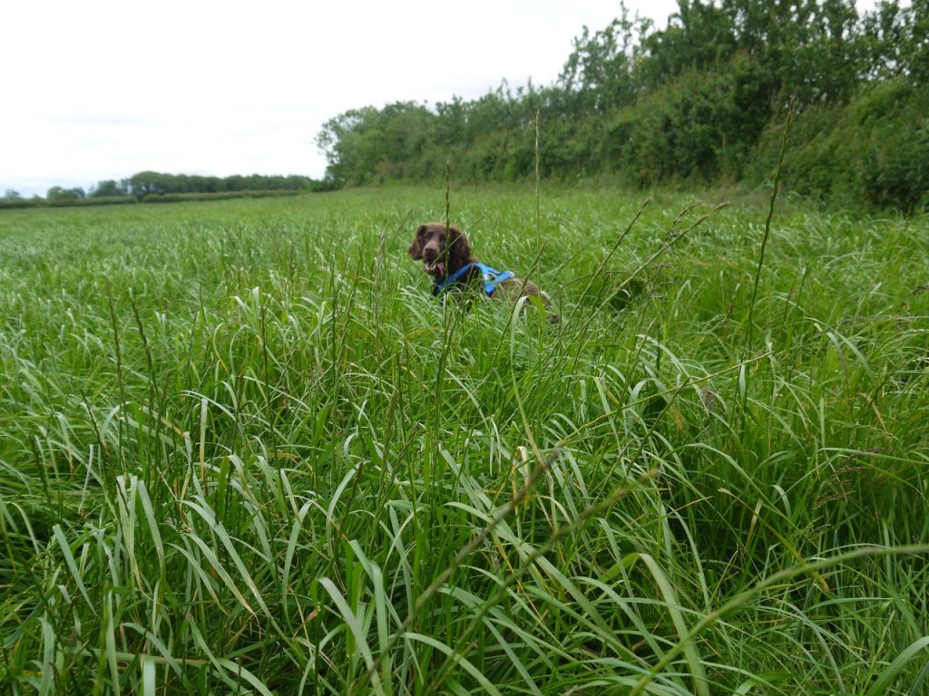
But easy did not last. The next stile, similarly hidden within tangled thorns and guarded by tall nettles, was also adorned with barbed wire. A small plaque reassured us we still on the public ‘footpath’. We stepped into a virgin meadow, its tall grass rippling in the gentle breeze. The dog bounced along like a springbok, while we stepped high as if struck with foot-drop.
Another Stile… and a dog
Another stile, of the same ilk, and another unmown meadow. The grass sapped our energy. My hips groaned, foreseeing coming stiffness. Audrey, walking behind me, was reciting from a thesaurus, “stung, scratched, bruised, nicked, gashed, pricked, whipped…” . At the next hedge, there was neither gate nor stile. No way through to the next field. We walked up to the northern corner. No escape there either.
Meadow unmown
We paused to cool our tempers with cold water. The map was consulted and with a sigh of resignation we made our way back to eastern corner to search more carefully for a way through. We did find a rusting gate in the SW fence but it was locked shut and backed up with barbed wire. Beyond it another overgrown jungle.
We chose to abandon the ‘public footpath’. There was definitely a gate in the NW corner and a farm in the distance beyond that. On the basis that the farm had to have an access track we headed that way. The gate opened onto a track along the route of the disused railway. We needed to go east but our choices were NE (overgrown and long unused by the look of it) or SW (had been used by vehicles). Having not packed a machete or scythe we could only choose SW. This meant we were heading in the wrong direction but sometimes that is the only way.
The track brought us to our old friend the B5307 not far from Arlosh House Farm. The Anthorn masts were now behind us, but we were walking in the right direction and the road was easier walking than the meadows.
We were on the look out for a place to sit for lunch and a kind chap at the Kirkbride Bowls and Tennis Club allowed us to sit on one of their benches. In my mind we had almost finished the walk. The Wampool bridge was just up the road, and from there it was a short walk back to the car at Anthorn. So it was with renewed vigour that I strode out for the Wampool Bridge.
Watters o’ Wampool
There is a single lane bridge across the Wampool, and a sign warns that the bridge is weak. It does not stretch to a pavement so we had to time our crossing carefully. The river flowed well belw us but flotsam on the roadside fences showed how high the waters might rise. I had thought the Wampool was Woden’s Water, but I see it actually takes its name from the words for ford, vaðill, and river or water, pol. So presumably Wampool was originally a place rather than a river.
The Watters o' Wampool, hoo slowly they gleyde,
Past meedows an' marshlands, ta Solway's dark teyde,
The sea suin surrounds them, theyre lost in its waves.
The watters o’ Wampool hev gean ta their graves.

John Tiffin Coulthard
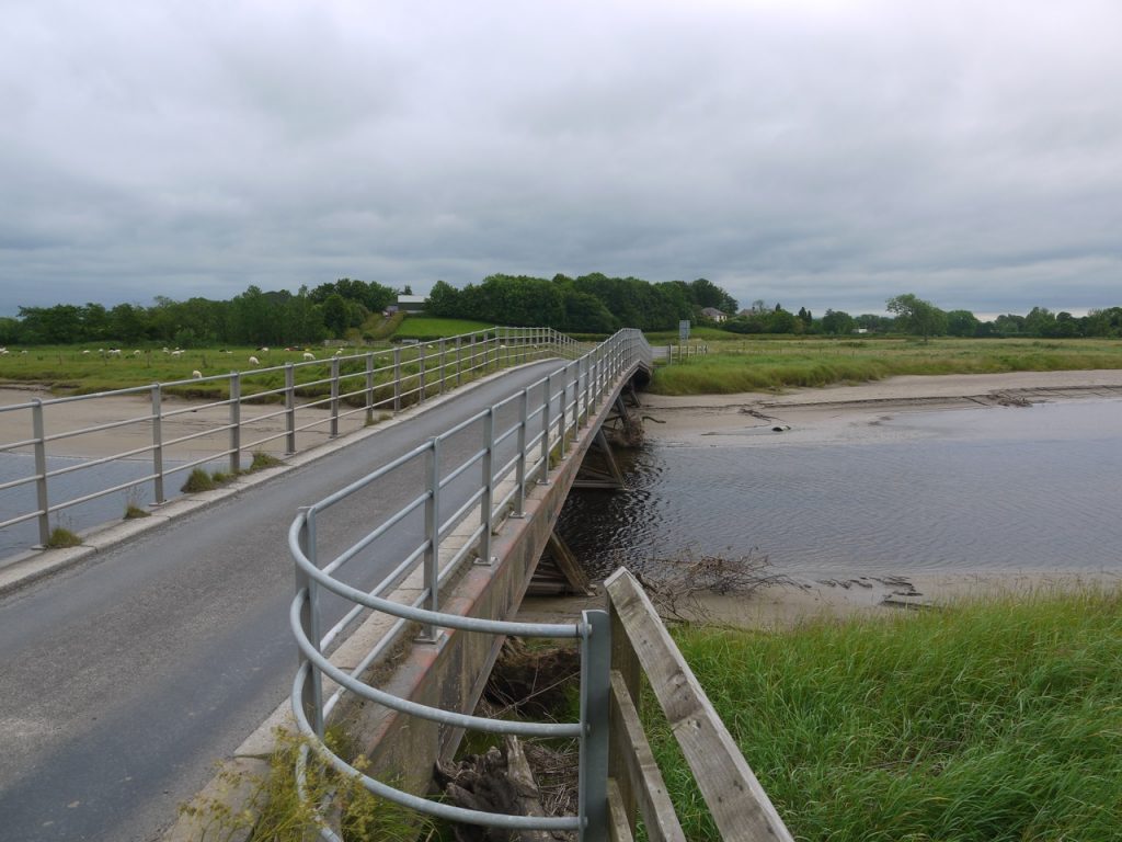
Weak Bridge
Across the bridge is a junction. We read the sign. Right: three miles to Bowness, left: two and a half miles to Anthorn. “Two and a half miles?” I squeaked, incredulous. How could that be? By now even the dog seemed to be tiring, walking behind me rather than forging ahead. But we trudged on, the masts revealing more detail as we drew closer.
Almost finished
[sgpx gpx=https://www.screel.co.uk/walks/wp-content/uploads/2019/06/RK_gpx-_2019-06-25_1013.gpx]
