
4.52 miles 1h 50m ascent 183m – failure 24/11/2022
4.24 miles 2h 2m ascent 145m -success 25/11/2022
A Monica is a hill named on the OS 1:50k map. A Mabie Monica is such a hill in Mabie. Some hills don’t have a marked summit and their upper contour lies only partly in Mabie. These have an asterix in my list. Locharthur’s highest point actually sits just outside the boundary wall. It is marked on the 1:25k map.
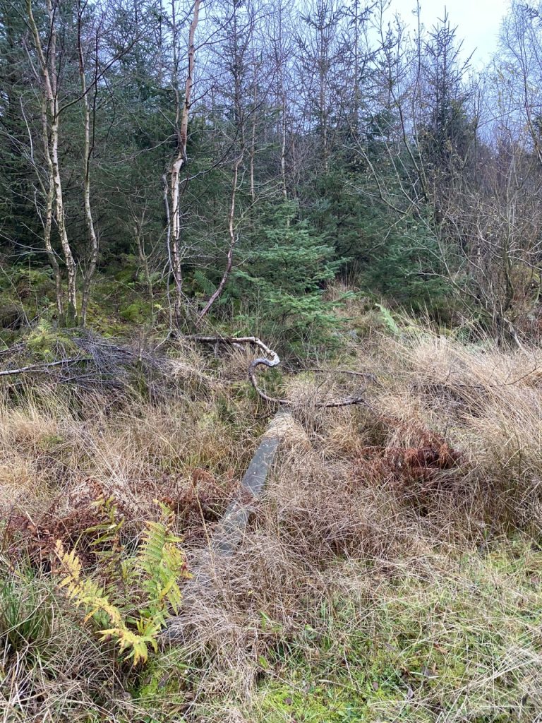
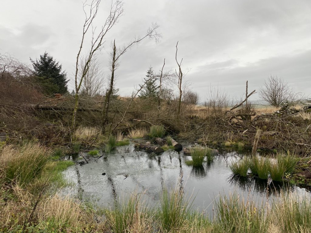
I set out on the 24th to go up Craigbill Hill, intending to use the old MTB track from the west side but found it completely overgrown so had a go at Locharthur Hill instead. It is mature forest and should have been an easy walk but a great many of the trees have fallen. Having gone up and down three times trying to find a way in, I eventually found my way completely blocked about 30m from the summit. All efforts to get by the trees failed and when it started to rain, heavily, I gave up.
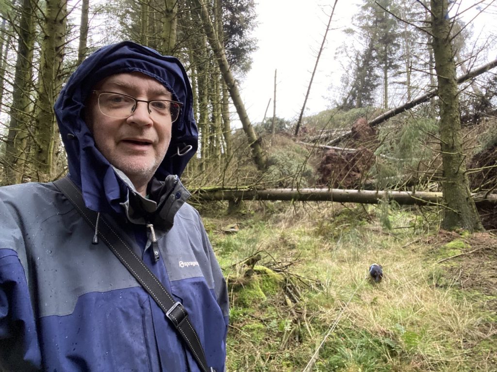
This time I came at it from the other side and had much the same problem. I got to the secondary top a hundred metres west of the summit and saw that my way was completely blocked by a tangle of fallen trees.
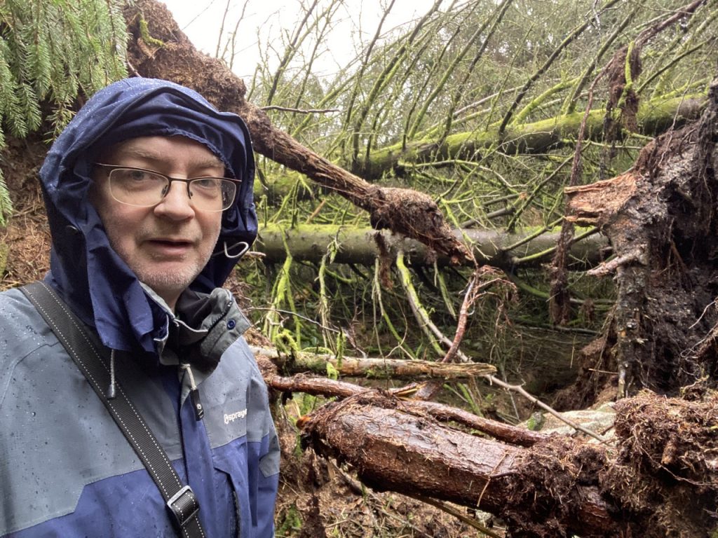
I tried following the boundary wall but trees had fallen onto it blocking the way. I was now in the annoying position of being able to see the wee knoll the was the summit but also seeing the way was completely blocked.
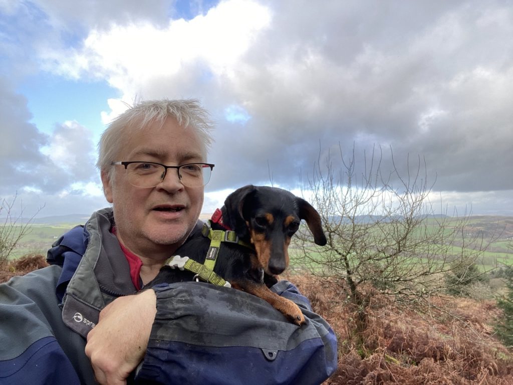
So I climbed over the boundary wall. Not easy with the two dogs but we got over, swapping a land of fallen trees for one of dense bracken. I had to carry Mabel but we fought out way to the summit.
The problem then was getting back. I had realised that climbing the wall where I did was a one way affair so we struck out through the bracken hoping to reach the forestry track. The bracken was interspersed with bog and heather which convinced me to try getting back into the forest. The wall had fallen in a few places so we crossed back but fallen trees blocked us each time so we just tramped through the bracken.
We got back to the forestry track near Craigbill. The previous day I had looked up the way we had just come down and dismissed it as a way of getting up Locharthur Hill. I would now regard it as the best option.
