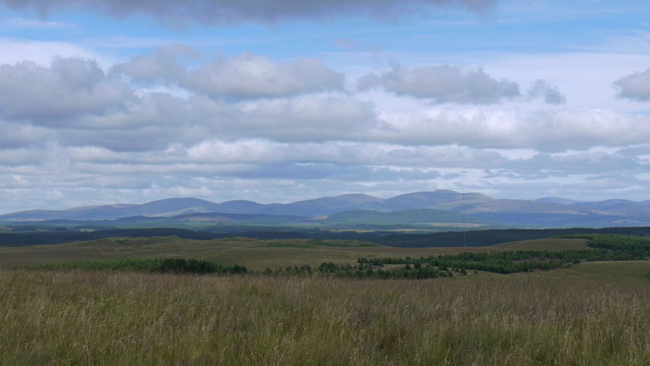
15.23 miles 6h 5m ascent 794m; max elevation 314m slopes of Shield Rig
 Route: SUW Caldons to Knockmulloch
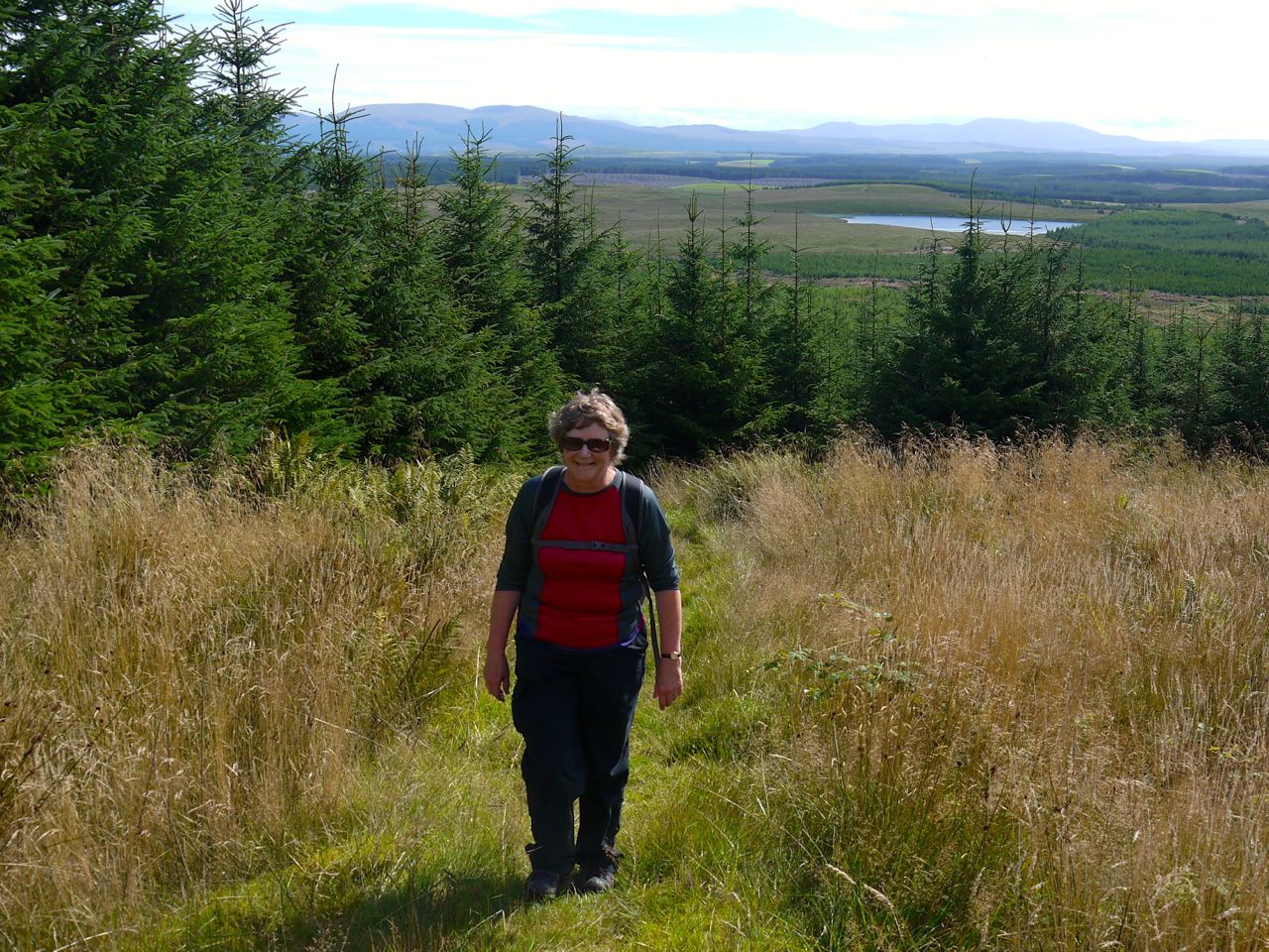
This was our fifth section of the SUW challenge, and would take us past the 25% mileage mark (indeed, up to 30%). It was a warm day and as we arrived at the Water of Trool, a few light raindrops were hitting the windscreen, but not enough to need the wipers. I climbed from the car, sensing the atmosphere and wondered if I needed to wear a jacket. The pessimists were already getting togged up in waterproof trousers but I convinced them that waterproofs wouldn’t be needed.
On reflection, I should have let them get fully gore-texed thus invoking the inverse Sod’s Law to keep the rain away.
As it was, within 10 minutes my prediction was proved wrong. We had to huddle under some trees getting waterproofs on ourselves and our rucksacks. I’ll have to send back my meteorology badge.

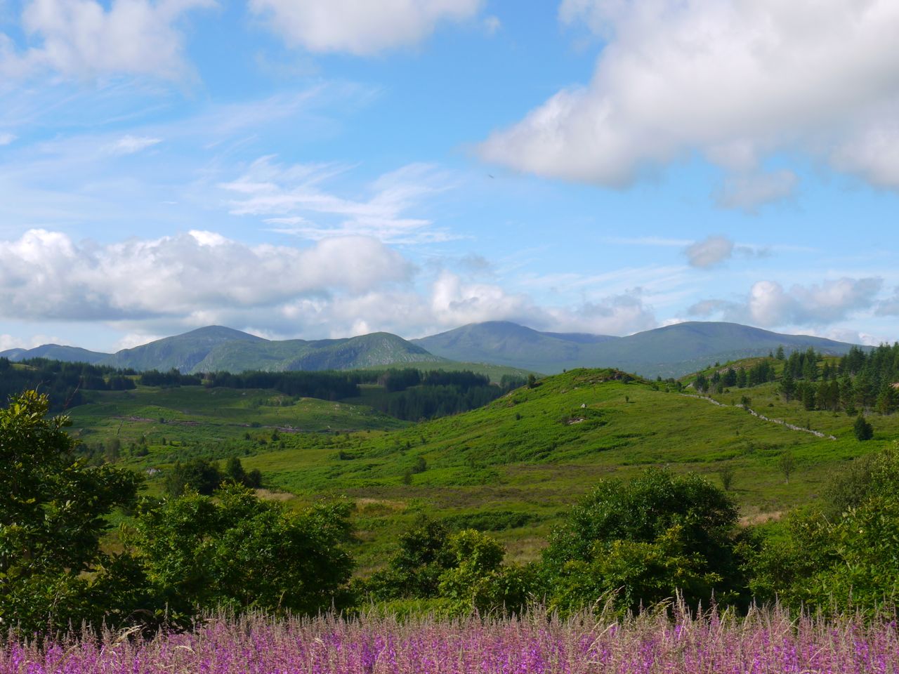
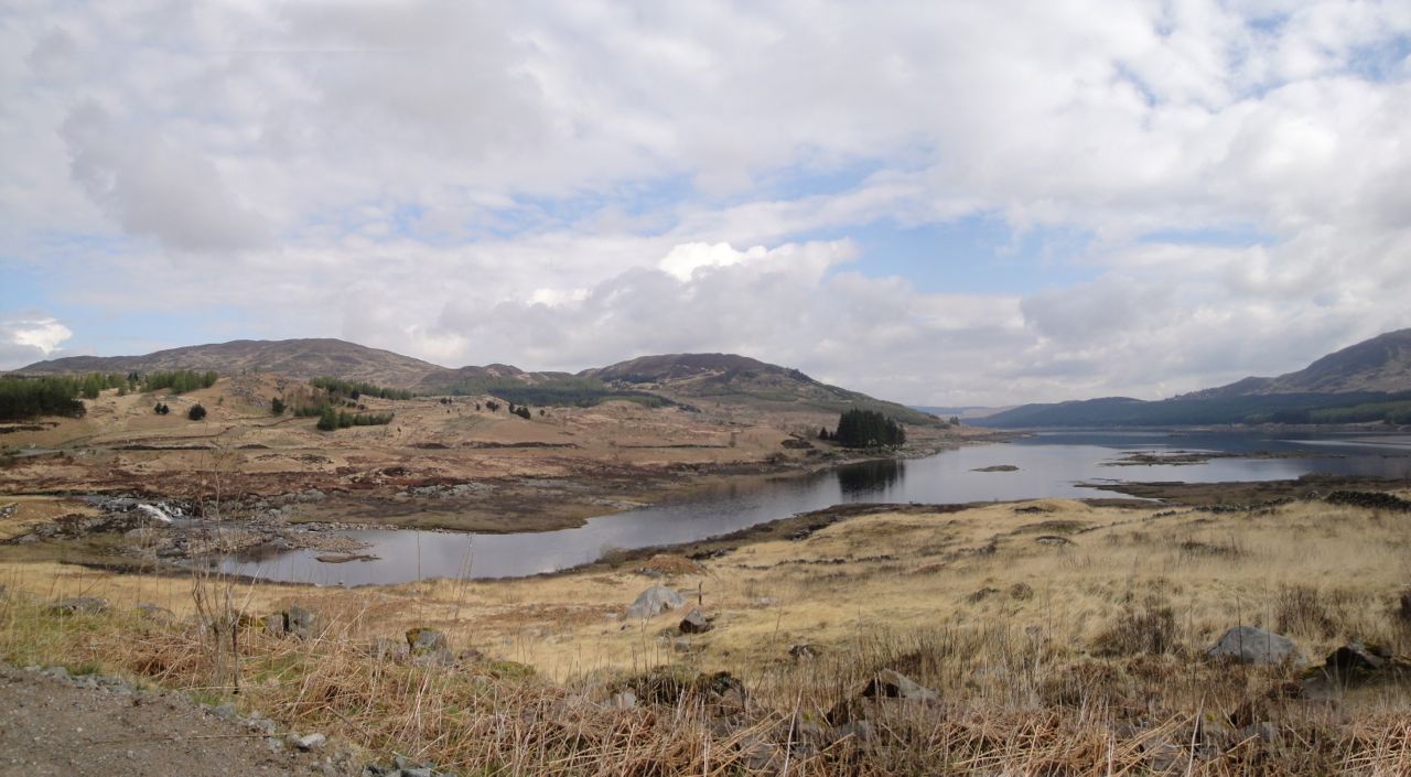
Loch Trool
The path along Loch Trool has been “improved” since I last walked it. The old dirt path has been covered with a layer of stones, presumably to prevent erosion and spare us a muddy walk. There was plenty of orange peel fungus, Aleuria aurantia, looking very much like orange peel strewn along the path.
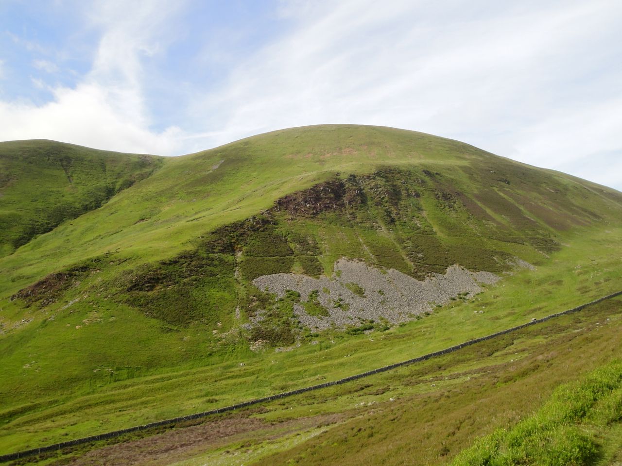
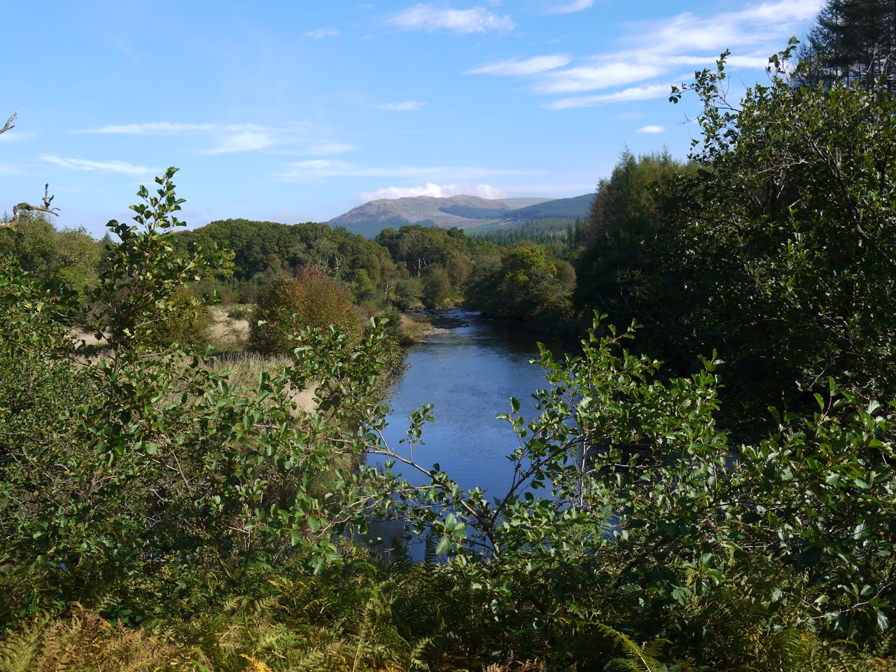
The path starts close to the water of Loch Trool and climbs steadily giving more elevated views across the loch up to the Gairland Burn which was in spate with the rain. The vibrant green of the woods and blue of the loch, seen the previous week, were transformed by the mist into variations on a theme of grey with hauntingly still water.
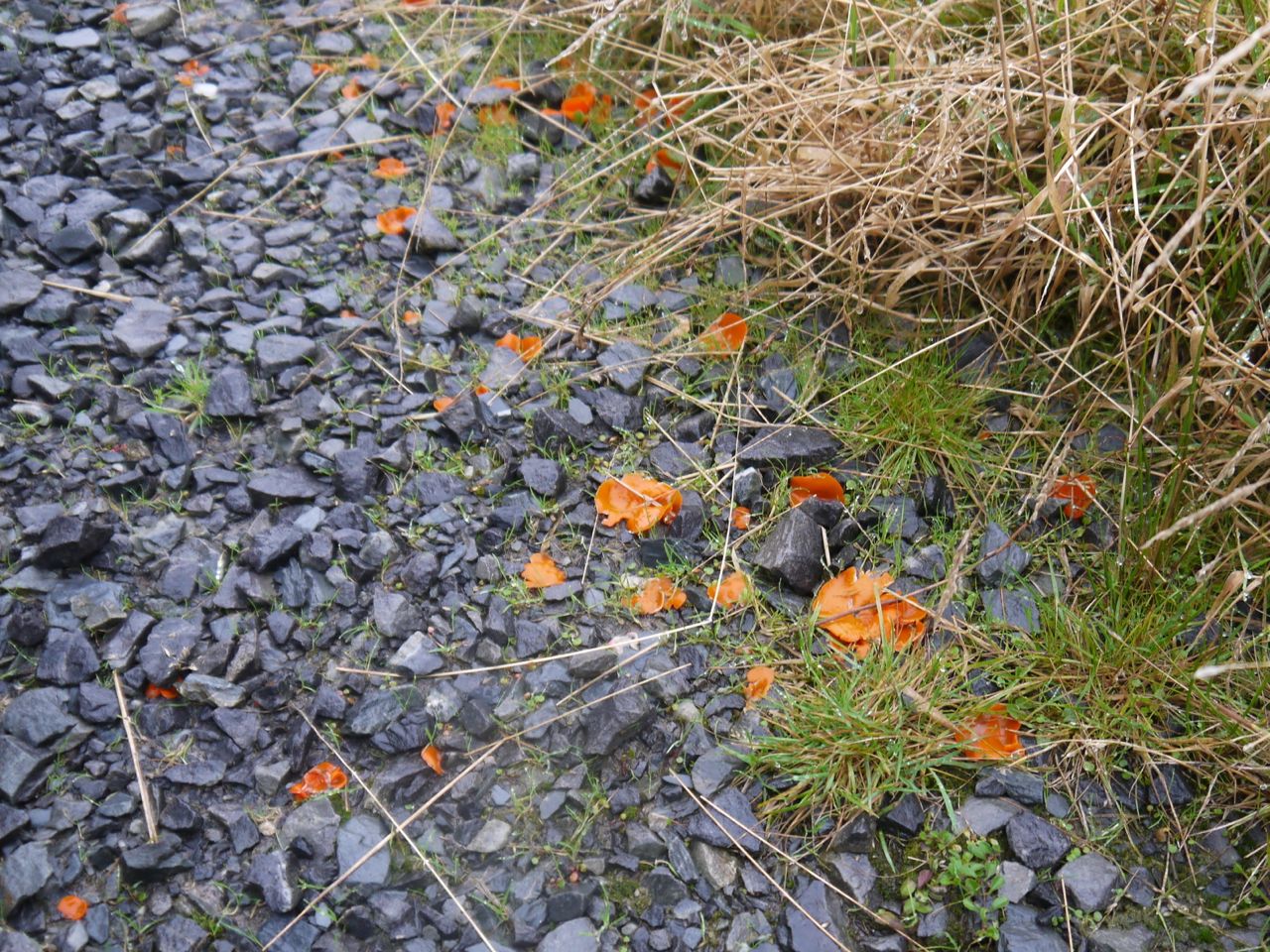
Orange Peel Fungus
An information board towards the eastern end of the loch gives details of the 1307 Battle of Glentrool, a turning point in the Robert Bruce’s campaign, apparently. And after we had read of this great Scottish victory, our Cumbrian had to be reprimanded for referring to the water as a “lake”. Tut, tut…when in Rome….you don’t hear me calling it a “mere”.
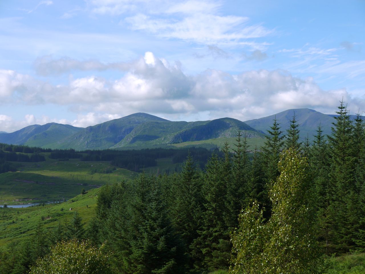
There have been changes in the route of the SUW at Glenhead. The route shown on my OS map crosses Glenhead Burn at the second footbridge but now the signs turned us away from the bridge along a forestry track which carries the number 7 national cycleway up the hillside towards the waterfall of the Shiel Burn. By now the rain had eased off but Craiglee was hidden in mist.
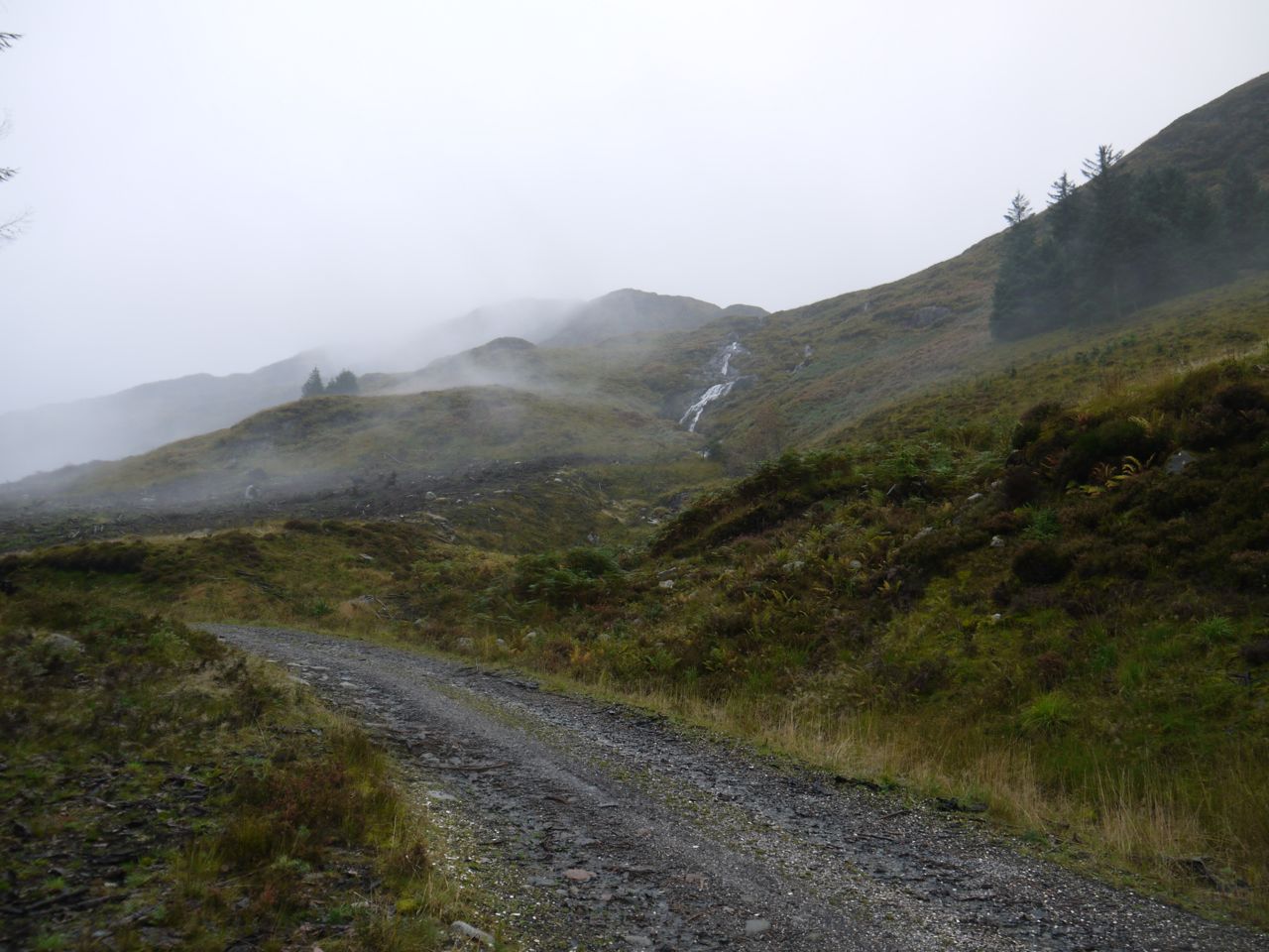
Shiel Burn waterfall
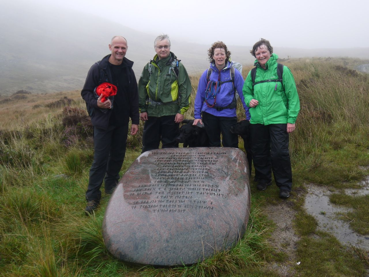
The Giant Axe Head, one of the Seven Stanes is beside the track at the watershed between Loch Trool and and Loch Dee. The runes carved on the stone are “The Mystery” an ancient poem ascribed to the Irish druid, Amergin. They are the words spoken as he first set foot on Ireland.
I am the wind which breathes upon the sea,
I am the wave of the ocean,
I am the murmur of the billows,
I am the ox of the seven combats,
I am the vulture upon the rocks,
I am a beam of the sun,
I am the fairest of plants,
I am a wild boar in valor,
I am a salmon in the water,
I am a lake in the plain,
I am a word of science,
I am the point of the lance of battle,
I am the God who created in the head the fire.
Who is it who throws light into the meeting on the mountain?
Who announces the ages of the moon?
Who teaches the place where couches the sun?
(If not I)
The Axe Head gave us an excuse to stop for a breather and some photos. Unfortunately the mist still hung around us so we could not yet see Loch Dee or the hills beyond it. After our pause it was downhill to Loch Dee. The original plan had been to have lunch at White Laggan Bothy, but it had stopped raining so we pressed on intending to stop near the angler’s hut.
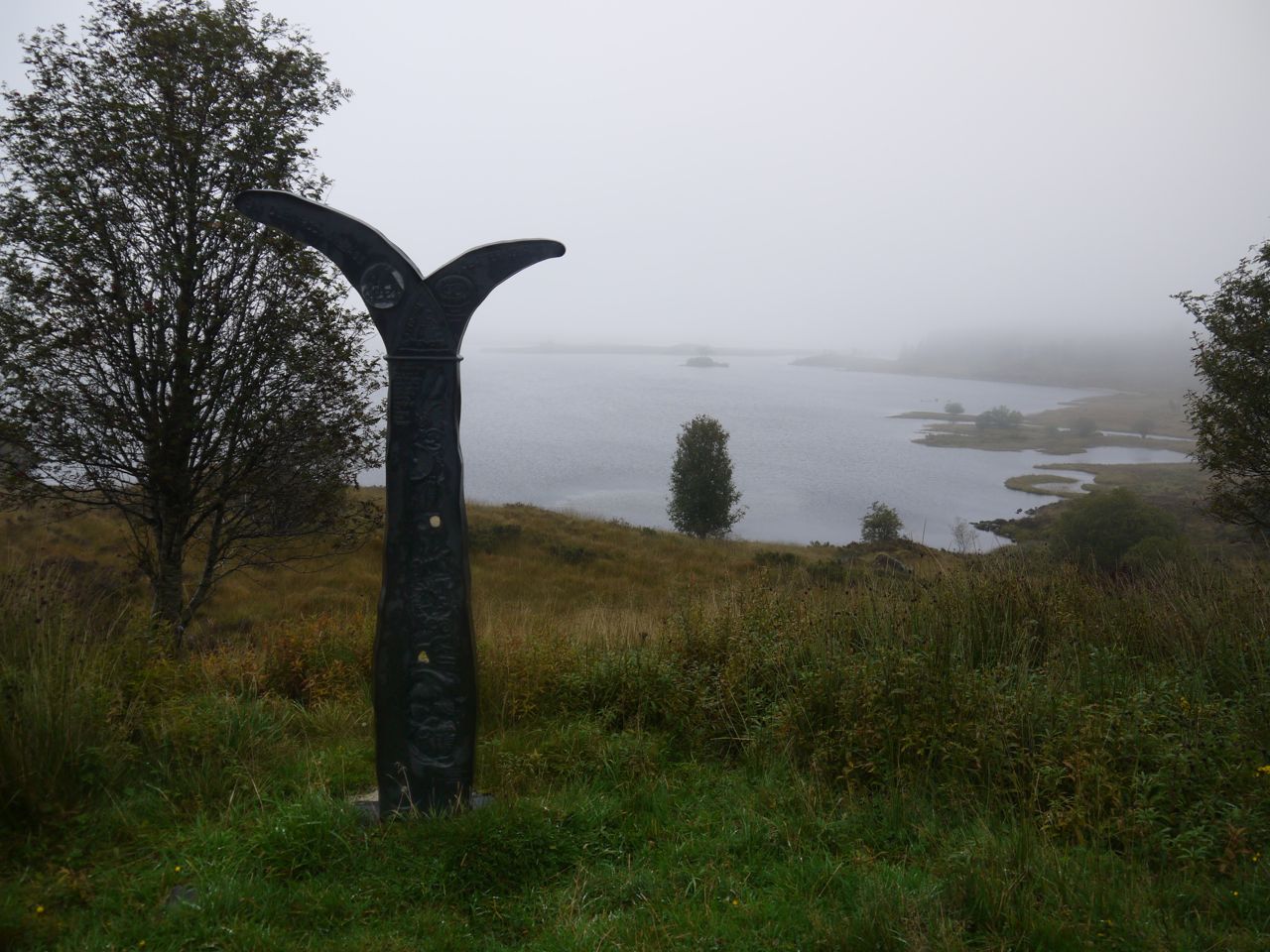
National Cycleway sign at Loch Dee
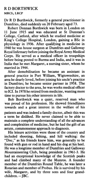
We walked on along the path by Loch Dee, past the cycleway sign that looks like mermaid’s tail and the bench dedicated to “Robert Donnan Borthwick 1914-1989, a doctor in Dumfries for 33 years”. Here is his obituary from the BMJ.
By the time we reached the road off to Craigencallie we realised that the Angler’s Hut must have been removed, so we stopped at the rocks by the gate with the sign, “Fishing by permit only- 2 fish limit”.
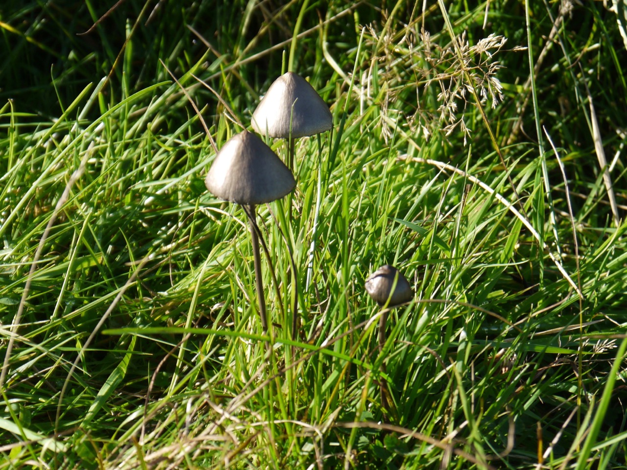
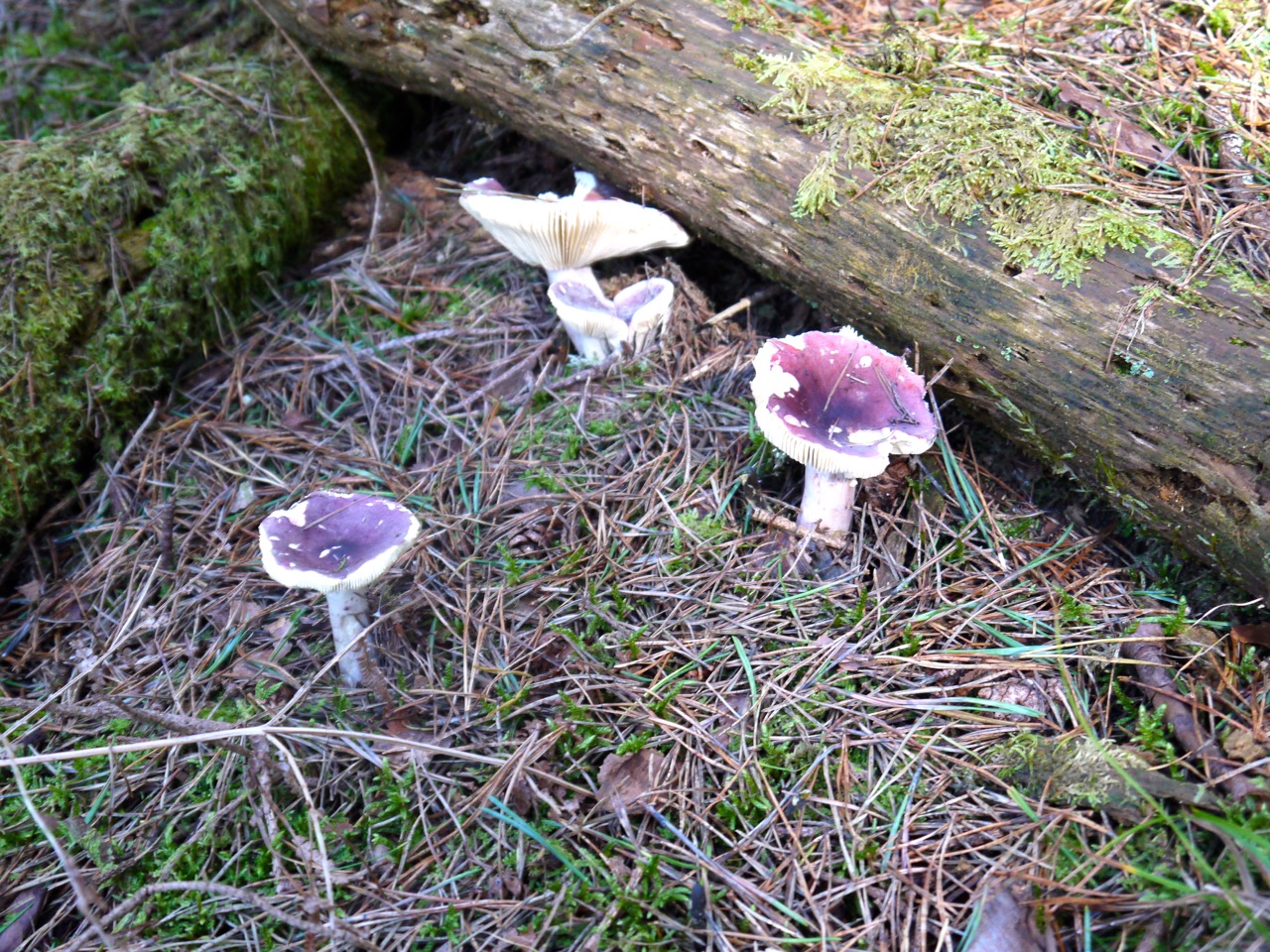
After lunch we crossed The Blackwater of Dee which is about the quarter way mark of the SUW. From there the forest tracks took us across to Clatteringshaws, and then to the minor road near Craigenbay. We stopped on the bridge over the Garrary Burn while Elaine tried to remove her waterproof trousers the hard way. It’s so much easier if they are unzipped first. The next section had quite a variety of toadstools, including the classic Amanita Muscaria in the forest and colourful fungi on fallen trees.
The SUW signpost near Craigenbay is marked “pick-up point” so the necessary jokes were voiced.
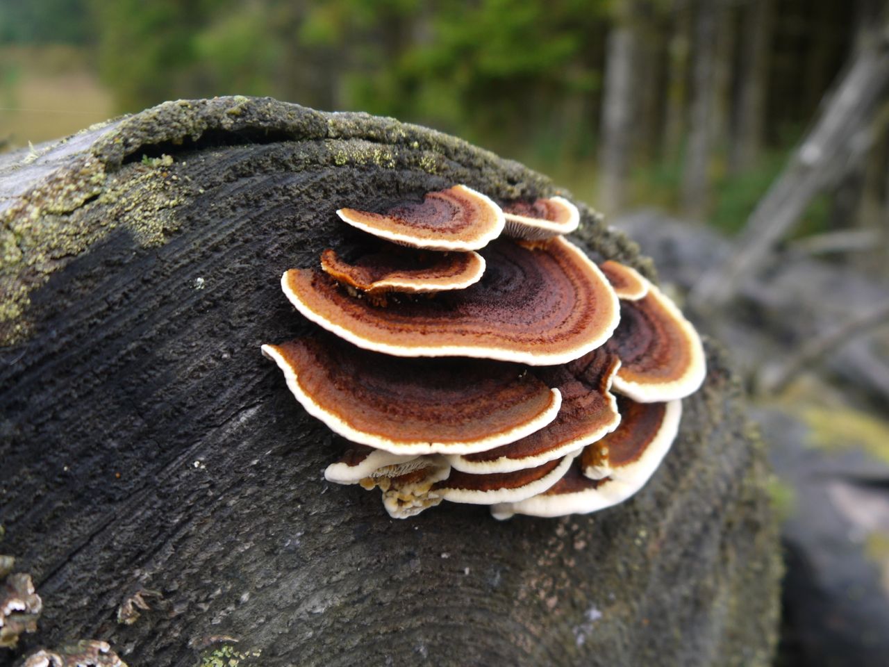
Many-zoned Polypore Fungus
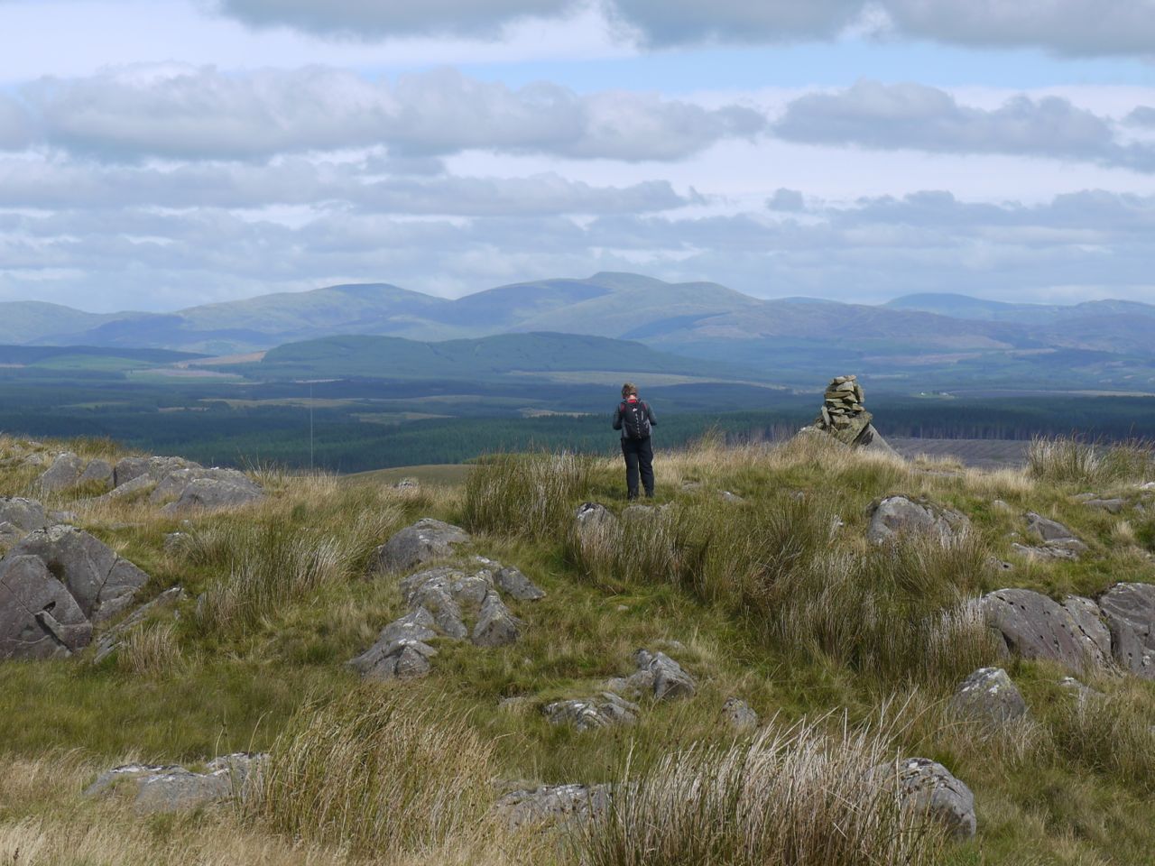
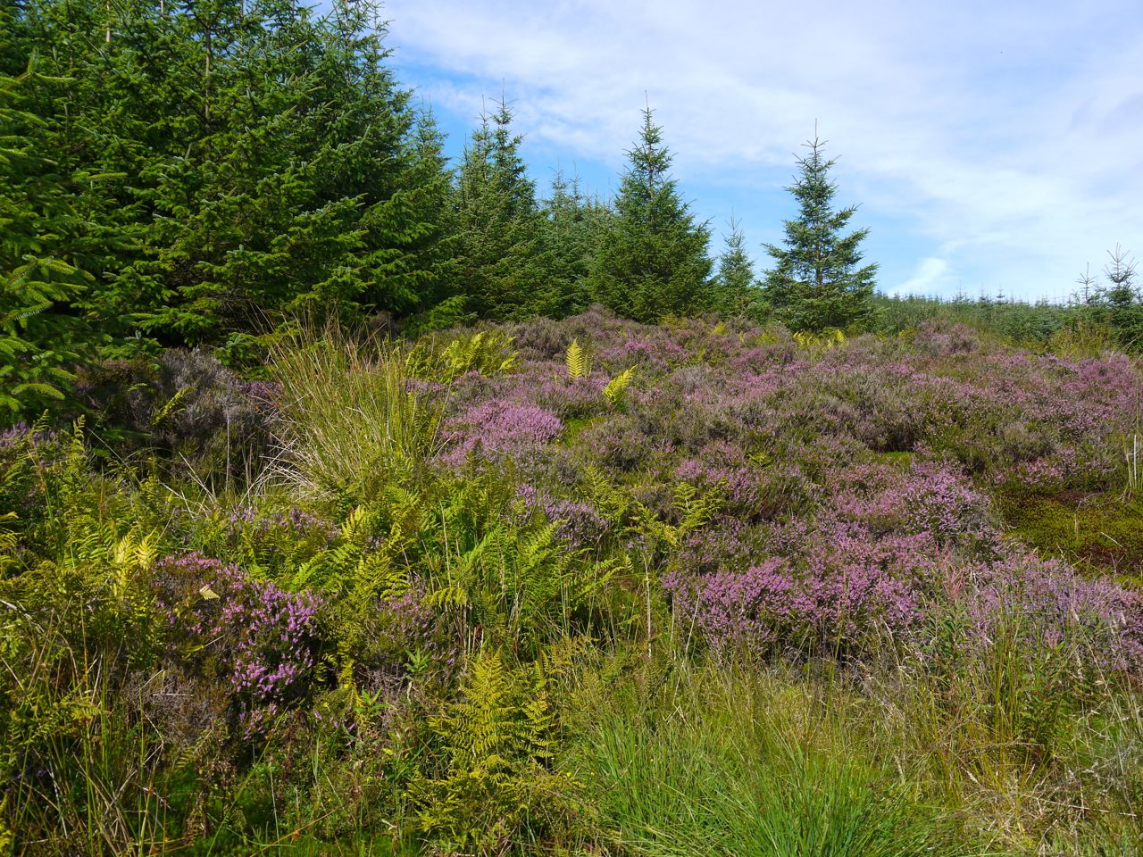
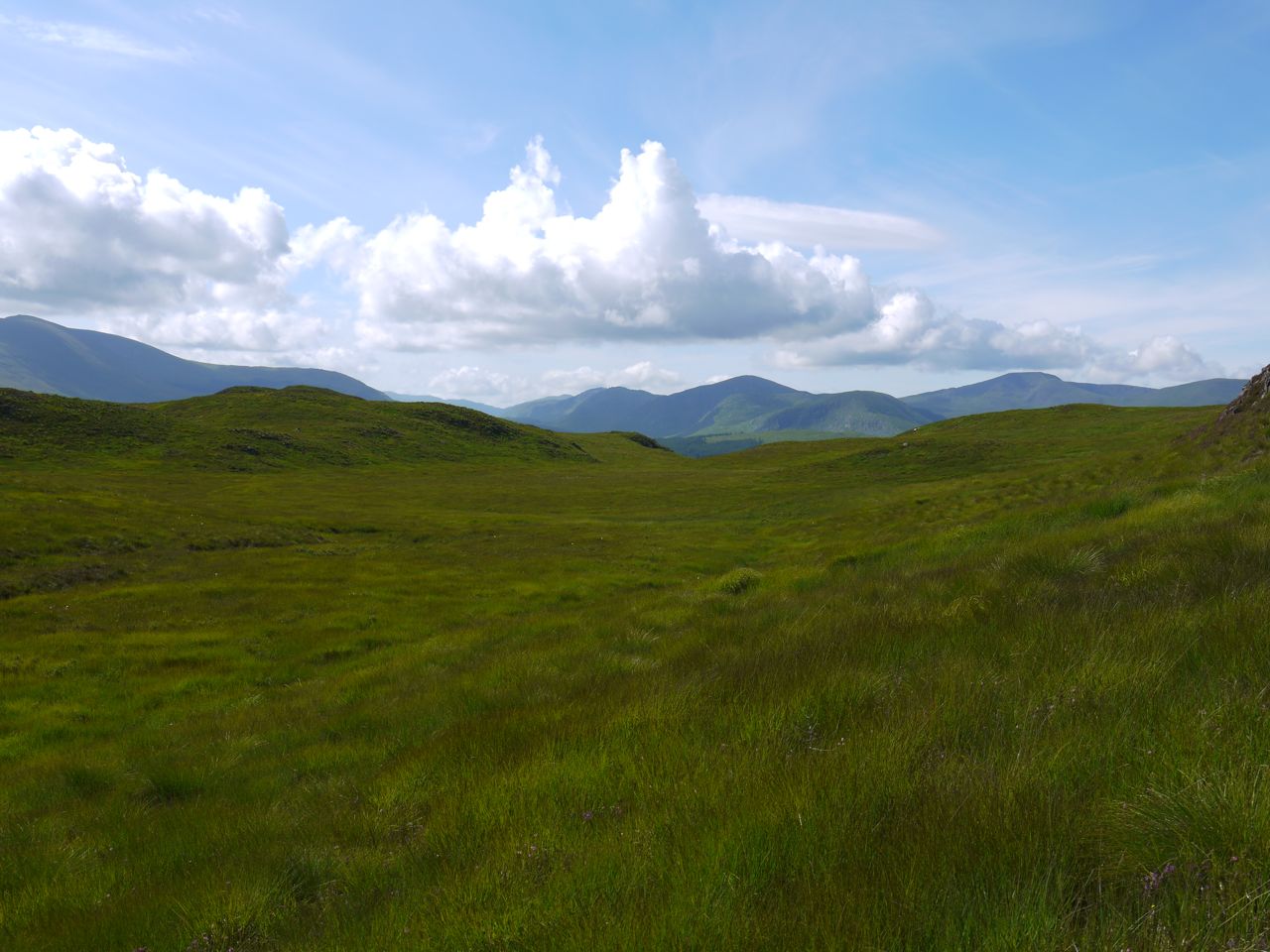
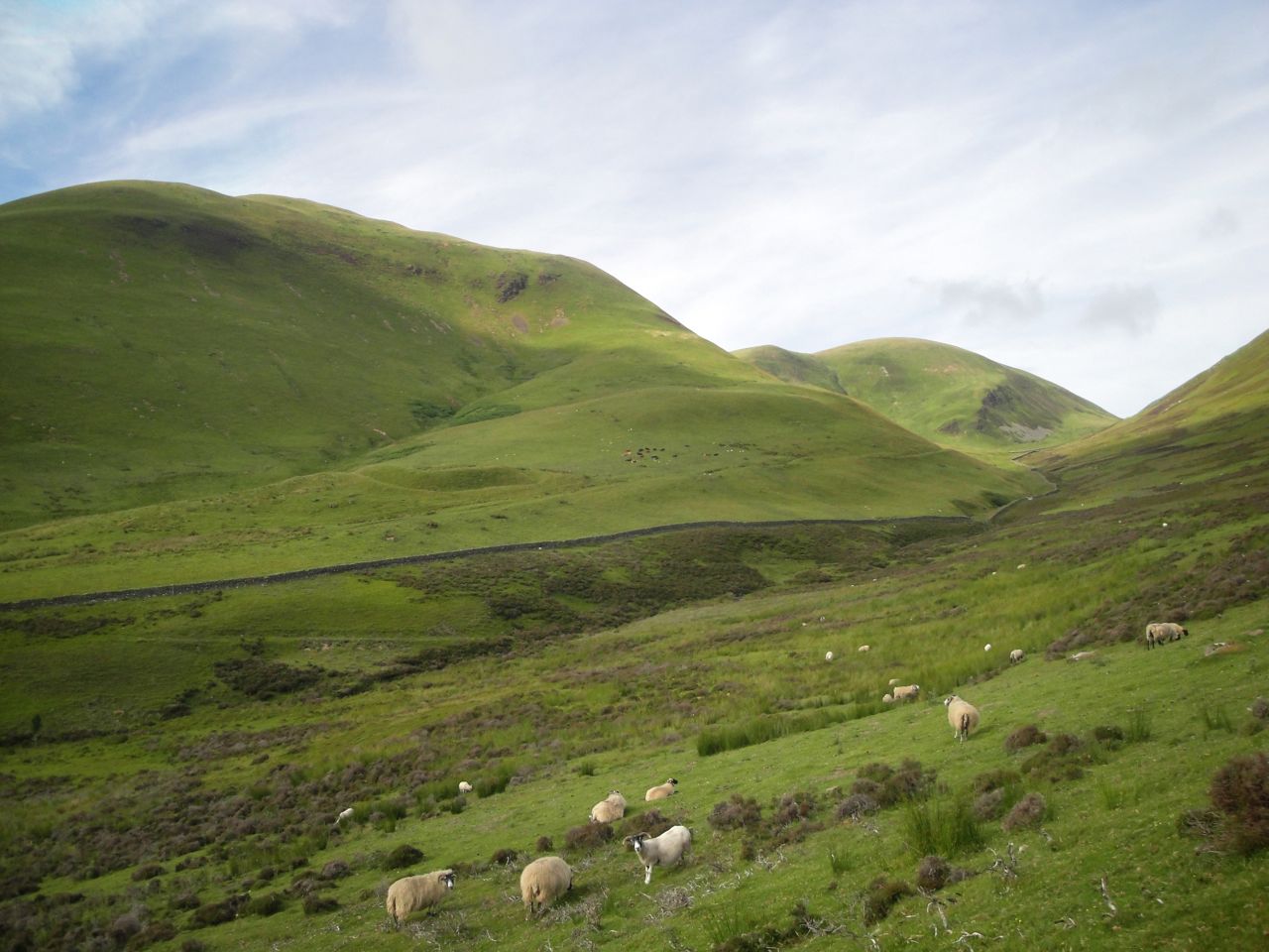
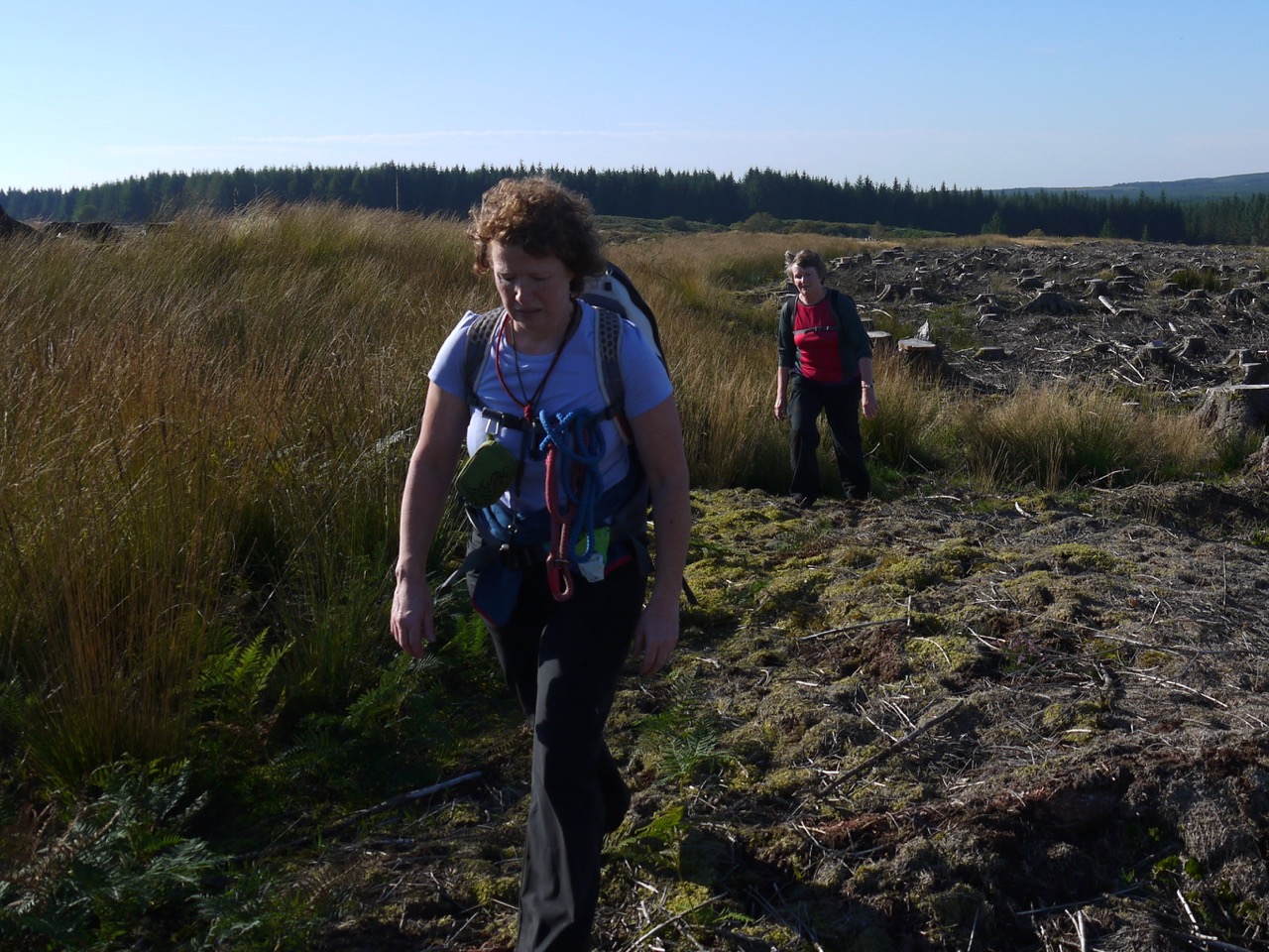
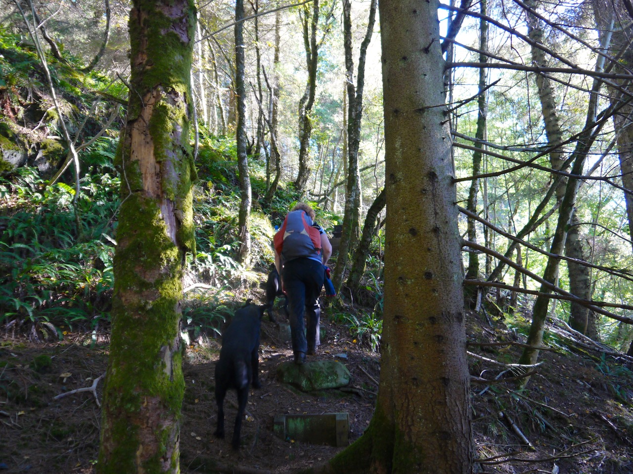
We had about a quarter of a mile on the road before the SUW turned off to the right. Up to this point we had been on constructed paths of one sort or another since leaving the car. From here on though the walk became a little wilder crossing uneven boggy ground first in forest breaks and then across the moorland of Shield Rig.
I had been falling behind the vanguard, spending too much time gawping at toadstools, then turned a corner to find Elaine and Joanna standing on a raised forest road. This road looks newly constructed and isn’t on the OS map. From a distance it looked more like a wall and my first sight of it had Elaine and Joanna pretending to be balancing on the “wall”.
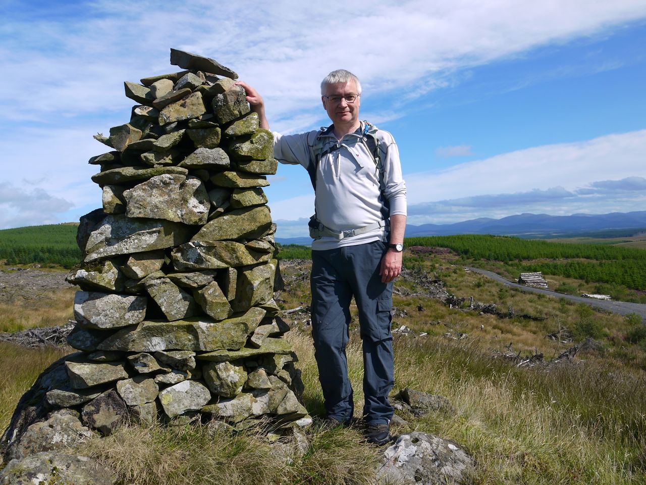
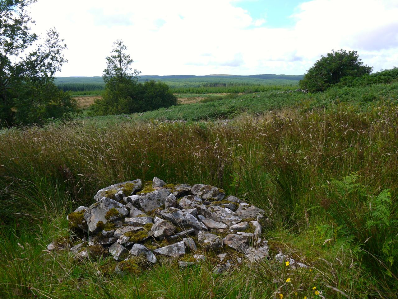
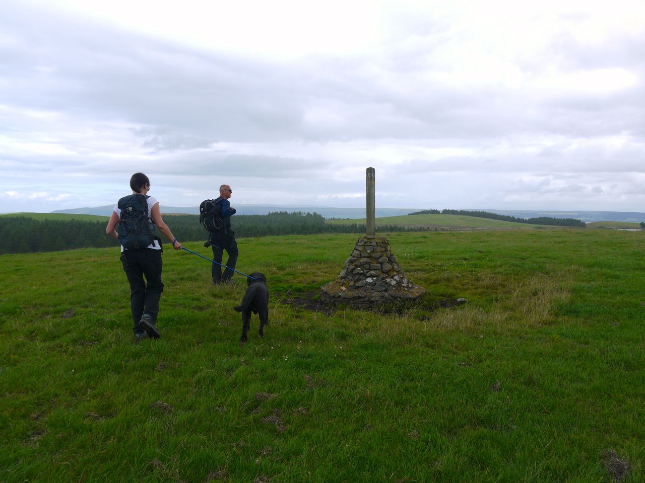
Just before leaving the woods we passed an Ultreia SUW marker post, so David and I struck off to look for the hidden hoard which we found in an old sheep pen with the rotting remains of wooden shed. The pen was unusual, the walls had been built enclosing a massive erratic which must have limited its capacity and the ground leading to the pen and within its walls were so boggy that it could not have been used for animals as it was. Perhaps the bogginess has developed with the planting of the forest. I plunged my hand through the spider webs into the hoard, took our waymerkers and then headed back to the SUW.
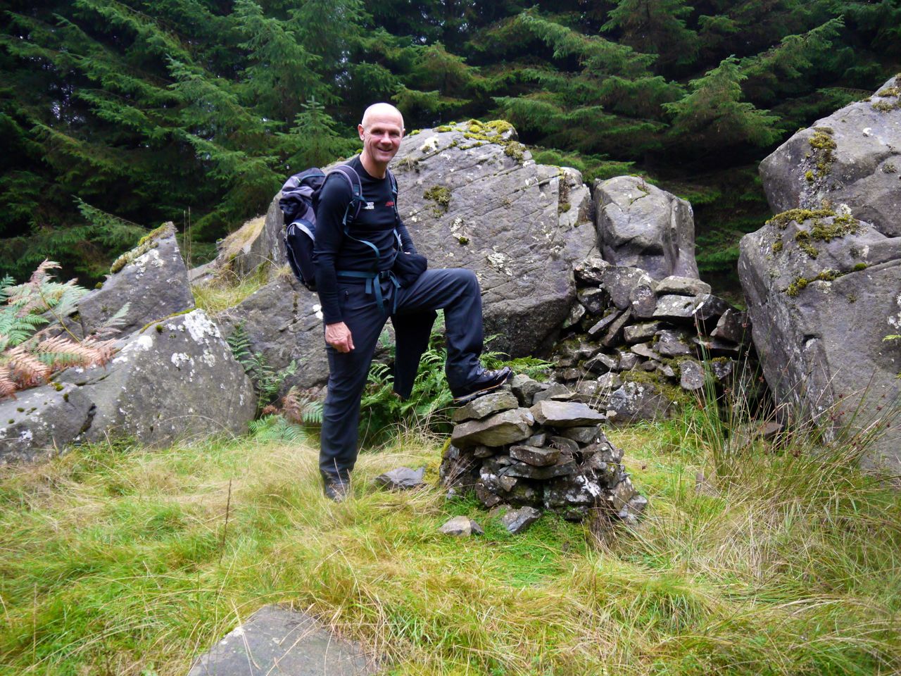
SUW Hoard
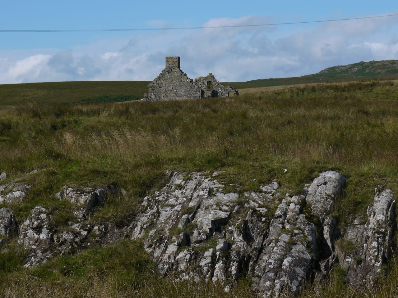
Out of the trees we had a mile or so of moorland and initially lost the path before spotting some way markers and picking our way across Shield Rig to the abandoned buildings at Clenrie. From there we were back on a track and headed down to the car at the parking place below Hen Craig.
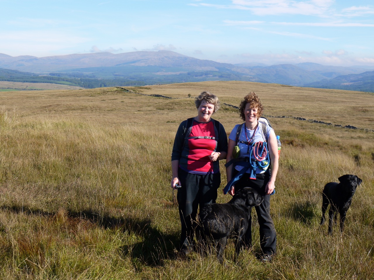
Walked with: Audrey, Joanna, David, Elaine.
[sgpx gpx=”http://www.screel.co.uk/walks/wp-content/uploads/2013/10/RK_gpx-_2013-10-06_1001.gpx”]


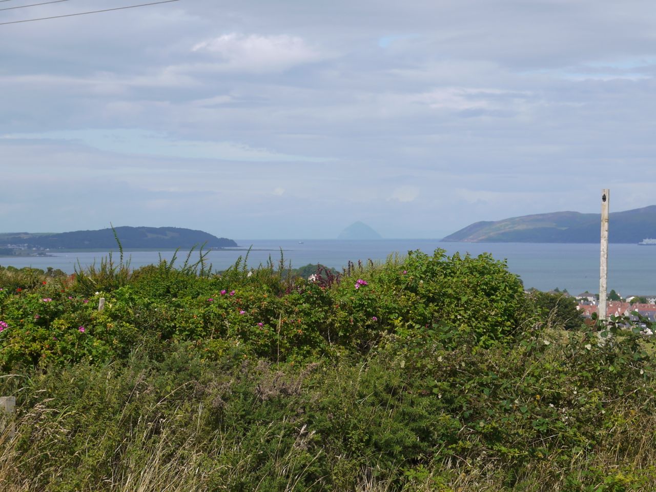
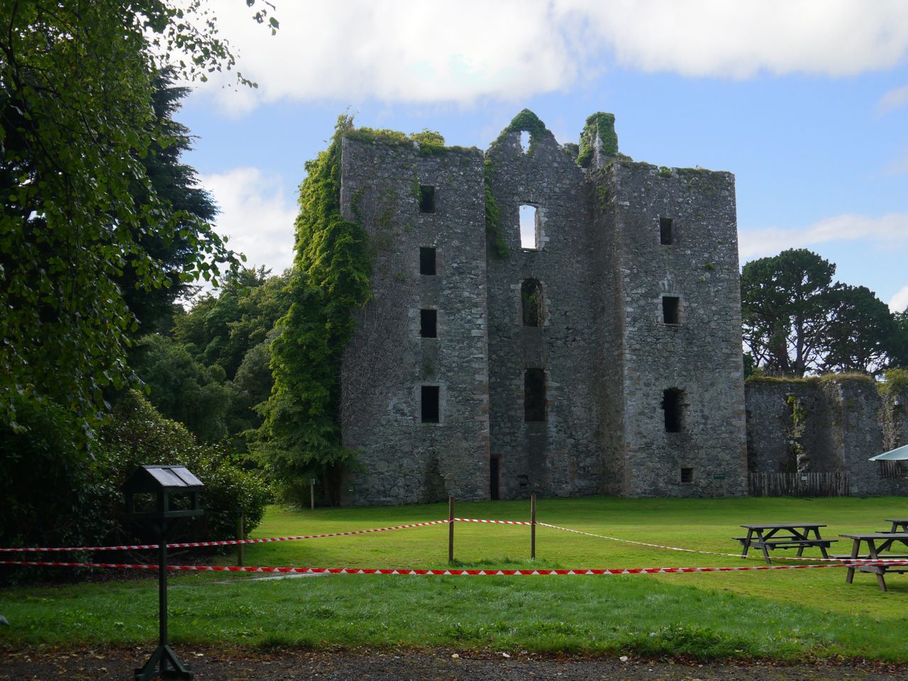
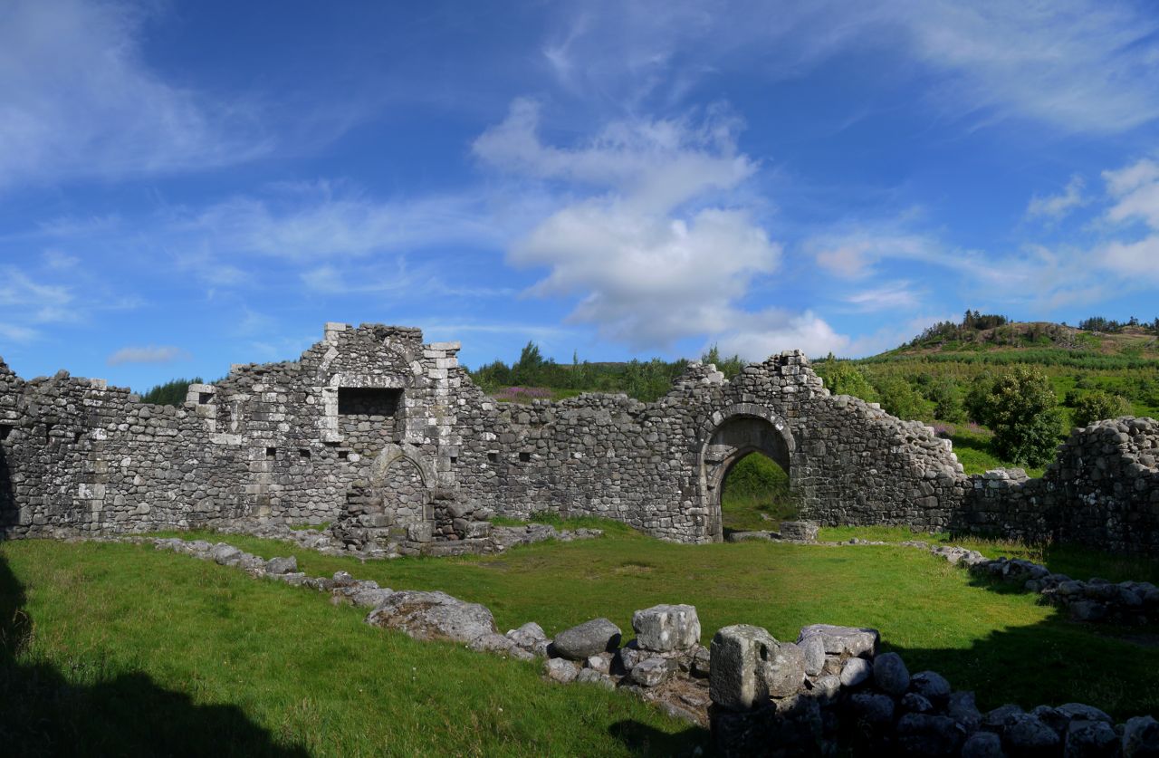
 SUW 2 Ultreia!: the write up will be a bit delayed but here’s some info to keep you going. 9.9 miles (9.0 miles of SUW), 4h 45m (a little slower than planned), 292m ascent, max elevation Caves of Kilhern 145m, 1,133 calories burnt, (I forgot how many paces it was), 1 ruined 15th century castle, 1 ruined 12th century abbey, 1 neolithic (4000-5000 year old) burial site, 1 unexpected airfield, our first major river crossed (Luce), discarded clothing passed, 1 waterfall, our first kist with an SUW coin hoard, Mike’s animal husbandry skills on show, a glimpse at male and female seeds (snigger), signs warning of squirrels and elephants, “Ultreia” on an SUW sign (something pilgrims would shout to encourage others, meaning “Walk on” or “go further”), and all rounded off with cakes. But I did forget to caress David’s new trousers.