
14.7 miles 6h 15m ascent 432m; max elevation Mulloch Hill 164m
 Route: Portpatrick, Killantringan, Knockquhassen, Castle Kennedy
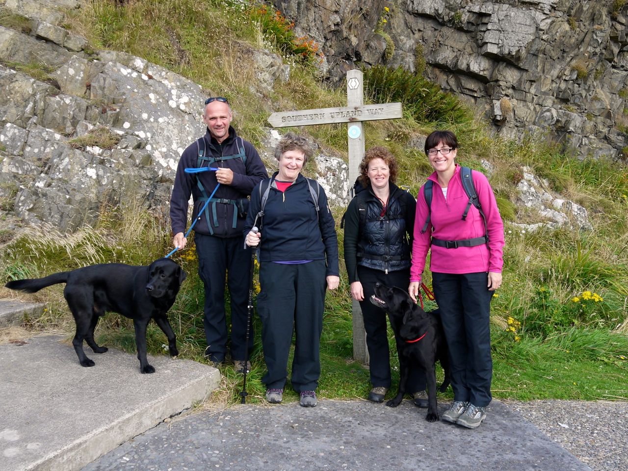
Car no.1 was stashed by Castle Kennedy and we all piled into car no.2 for the run to Portpatrick where there was plenty of parking. There was a chill in the air so we started well wrapped up but it warmed up nicely later on.
The Southern Upland Way begins at Portpatrick harbour. There is an SUW signpost (good for photos), an information board (though some of the group didn’t notice it), toilets (designed for the thinner gentleman) and a children’s playground (how many other long distance walks have a playground?). We began by posing for our photos then climbed the concrete steps up to the cliff top. The risers of these are inscribed with information about the geology of the area and length of the SUW.
Portpatrick
Once on the cliff top, the path passes the Portpatrick Hotel, which is clearly very active, and then the abandoned “British Telecom Radio Station” which with its boarded windows would easily pass muster as Norman Bates’ house.
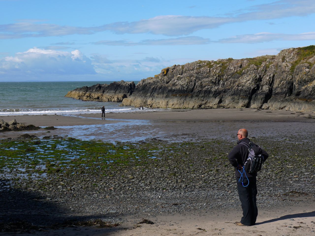
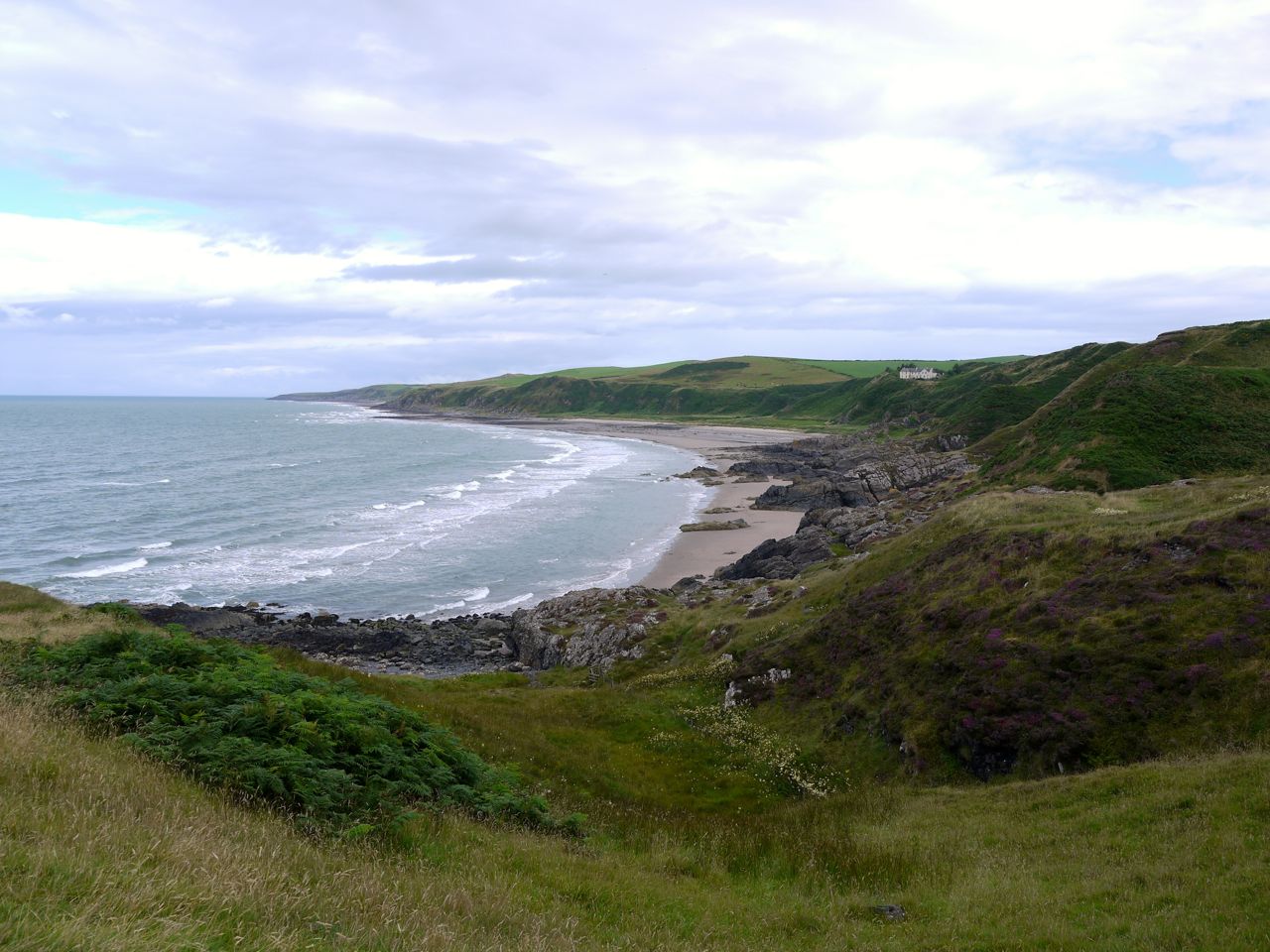
Once past the aerials we had our first view of the coastal section of the path, wild on the seaward side and manicured inland (Dunskey golf course). We passed a variety of wildflowers including a substantial section of rock roses and then climbed down to the small beaches of Port Mora and Port Kale. This gave me an opportunity to get a pebble to carry from coast to coast on my SUW journey.
Port Kale beach
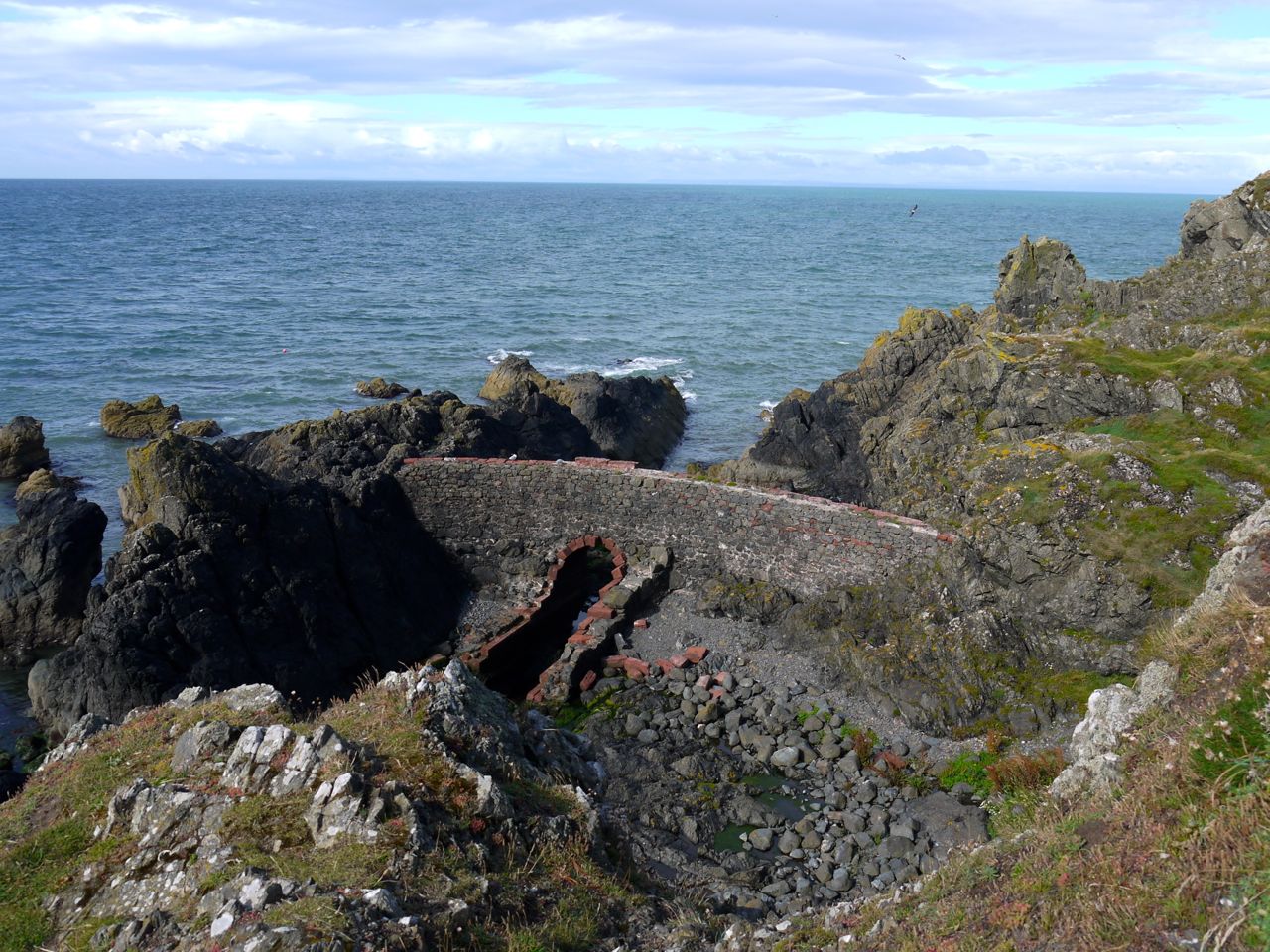
Port Kale was once the landfall for the undersea telegraph cable to Ireland. A small building with a double pyramid roof that stands here was the original cable hut and is in pretty good nick given its age and position. It is boarded up now but has a sign identifying it as a Coastal Interpretation Centre, whatever that might be. By the hut is a red and yellow painted telegraph pole that would once have carried the cable to the shore.
By the time we had reached Port Kale, our muscles had warmed and it was time to stow the fleeces. It was a slightly steep climb up from the beach but there were reasonable steps in the rocks and a chain link handrail. This took us up to Ouchtriemakain Moor (the high ground of St Keyne) and a path through the bracken (though it is fern to me).
Portavaddie, a narrow gully, was another brief descent before we climbed back to the higher ground and along to Killantringan Lighthouse. The rusty remains of the Craigantlet, which ran aground in 1982, can still be seen in the sea below the lighthouse.
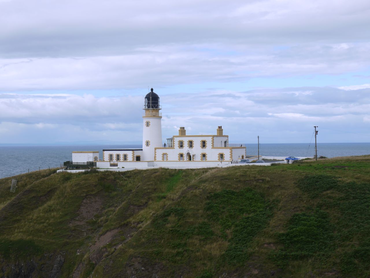
Killantringan Lighthouse
Killantringan Bay
Beyond the lighthouse Killantringan Bay with its extensive beaches stretches to the north. And after a very brief stop for photos we turned inland along the single track road for a couple of miles. The fields by the road were sometimes wild and uncultivated, sometimes the bright green of recently mown new growth in the sunshine. This area is called Knock and Maize, a name which presumably was once a straightforward description, cnoc and maes, meaning hill and plain.
Killantringan, the name given to a farm, bay and lighthouse, orignally meant the church of St Ninian, but there is no evidence of the church now. At Killantringan farm an impressive bull stood close to the road, as still as a statue, ignoring and being ignored by a nearby cow. Already a couple, perhaps?

Knock and Maize standing stone
Close to Knock and Maize farm a standing stone sits in a field by the road though the ambience and photogenic potential are undermined somewhat by having telegraph pole close to it. It would be nice to think this is an ancient monument but even the SUW’s official information sheet suggests it might be a cattle rubbing-post rather than an ancient religious monument. But who knows? The hill beyond the standing stone had white fences suggestive of an equine use but later on as we passed the entrance, the sign did not mention horses or stables but said it was a supplier of red deer.
Knock and Maize
A little way past Knocknamoak farm at a house called Three Acres the SUW turns sharp right onto a farm track, and then climbs Mulloch Hill where there is an SUW waymarker post set in a plinth marking the highest point of this section at a lowly 164m. As we approached this “summit” the sky darkened and we had our first short shower of the day. Stopping to get our jackets on gave us an opportunity to take a swig of water, and banana chips were handed round to keep our morale up. An unusual taste, but pleasant all the same.
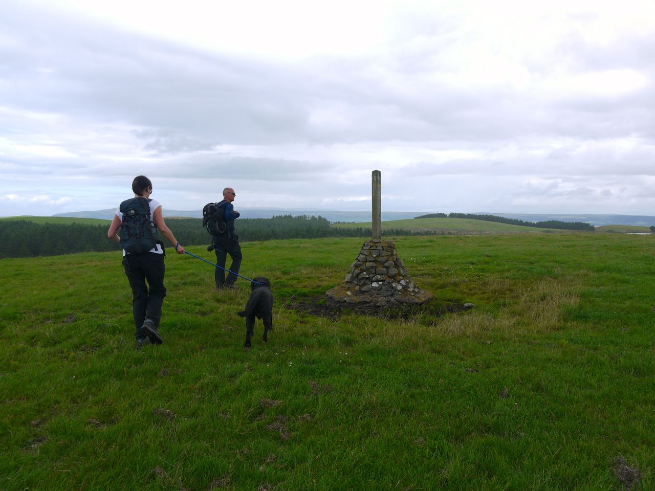
Mulloch Hill before the jackets
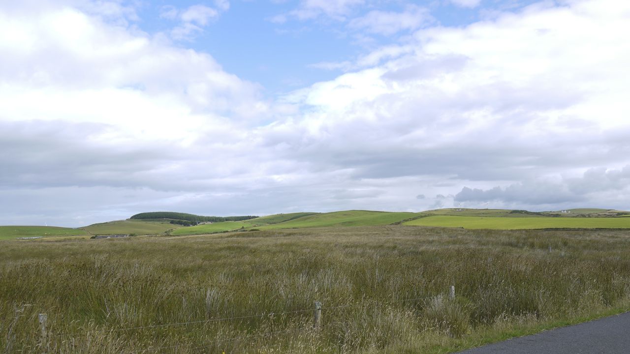
From Mulloch Hill to Knockquhassen reservoir was moorland, Broad Moor, and the path was a little boggy in places. No wet feet for us but I imagine it could be much worse after prolonged rain.
Our plan was to walk to the reservoir for lunch but it seemed busy with anglers so we sat on a small knoll just before the road to the reservoir. I think our first view of Ailsa Craig was around there.
From Knockquhassen the SUW was back on single track roads but with very little traffic. Crossing the Crailloch Burn marked the half way point of the walk and I stopped here to take off my jacket and watch a couple of long haired cows by the burn. The hedgerows along here had a variety of plants including a great many Fuchsias in full bloom. There were butterflies, dozens of whites but one or two peacocks, and even some snails on the plants.
We could see rain approaching along Loch Ryan and I was expecting a drenching, but the shower passed to the east so we got no more than a few drops. By the time we reached Ochtrelure on the wee ridge behind Stranraer the sun was back and we had a great view of Ailsa Craig sitting beyond the mouth of Loch Ryan.
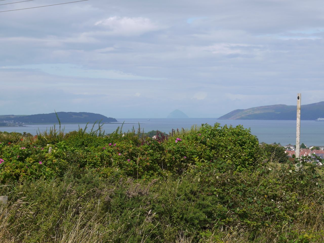
Ailsa Craig beyond Loch Ryan
The rain did return a little later as we walked down the tree lined lane between Spout Wells and Whiteleys but with the trees we were quite sheltered and I didn’t even need my hood up. We crossed the old disused railway line here, but had I not been looking out for it I wouldn’t have noticed it.
After crossing the A77 I felt we were on the home stretch so we pressed on, but in retrospect we should perhaps have had a break. I was looking out for a likely spot but it never came.
Just before leaving the farmland for the woods near Barrack Hill Wood we passed a field of Belted Galloways, both black and browns. It reminded me that I had been asked about Belties at my job interview, God only knows why. The woods were a pleasant flat walk on easy terrain, the sound of cars on the A75 growing steadily louder.
In the woods just before Castle Kennedy village there is an SUW information board with a wee “E2” sign. I’ll be sticking to the SUW for now, since the full 3010 miles of the E2 (Galway to Nice) is too much to contemplate.
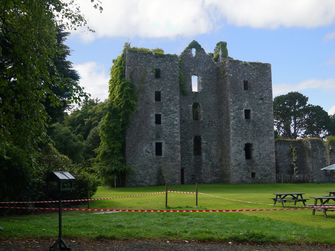
Castle Kennedy
The final leg of this section was in the Castle Kennedy estate, along an avenue of broad leaved trees and rhododendrons, with the Lochinch Castle across the White Loch, and then up to the car park by ruins of Castle Kennedy.
Since the group debriefing was at the Skyreburn Cafe I had an opportunity to research the claims about the their bacon sandwiches. I can now confirm their high quality. I think Audrey enjoyed the spicy sausage sandwich as well.
With: Joanna, Audrey, David, Elaine
[sgpx gpx=”http://www.screel.co.uk/walks/wp-content/uploads/2013/08/RK_gpx-_2013-08-11_0946.gpx”]
