
8.7 miles 3h 45m ascent 596m; max elevation 483m, slopes of Highmill Knowe
 Route: SUW Sanquhar to Wanlockhead, and detour to Black Loch
A cold dry day with occasional sunshine and the odd glimpse of blue sky. This was a straightforward section without any difficulty staying on course. We found a large car park in Sanquhar on Simpson Road with a sign telling us “Th s Pr je t is being p rt fin nced b the E r pean Regi n l Devel pment F nd”. Presumably they were not fully financing vowels, and quite right too in my opinion.
Our route took us along Cow Wynd, under the railway and then up a gently sloping grass track to Matthew’s Folly, where there is a low brick wall with a plaque claiming it is a cairn and a couple of iron gates marked 2010 and 1910, commemorating the centenary of Sanquhar’s Riding of the Marches beginning again. I’m intrigued by the name “Matthew’s Folly” but haven’t been able to find the origin of the name.
There are several benches on the way up so the weary might rest, and the one at the top is dedicated to Samuel Kerr 1860-1916, Bootmaker. There were excellent views back to Sanquhar.
Goron
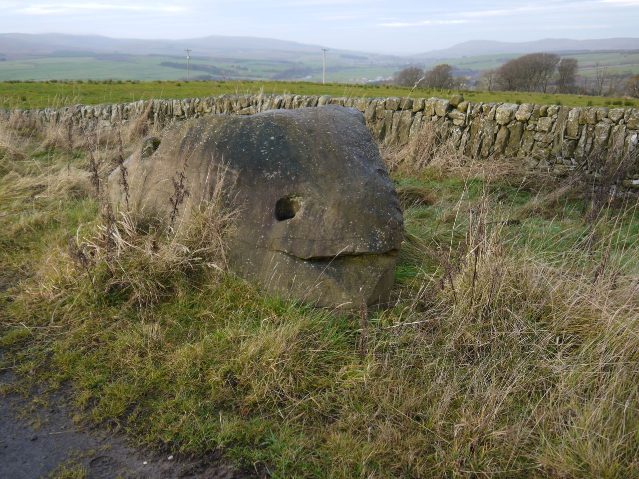
Beyond Matthew’s Folly we briefly joined a road and passed a large rock which Audrey thought looked like a whale. I feel it was more like a Goron. After the Goron rock we were back onto moorland and had our first sight of Lowther Hill.
We then came upon a signpost for “Black Loch 410m”. Tempted myself, I asked my companions if they wished to visit it. To say their response was noncommittal would be putting a positive spin on it but I was able to interpret their response to my own ends and we set off in search of the Loch. The initial section was boggy but then it dried out and there was even a bridge over the burn. I might have mistaken the Black Loch for a small flooded section of moor had there not been a sign.
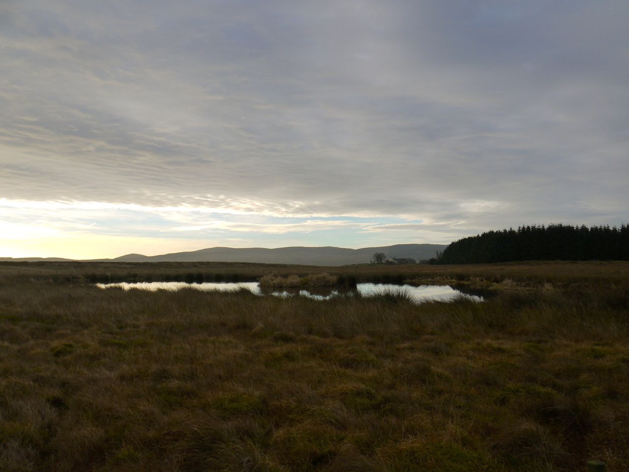
Black Loch and Crannog
The visit to the Black Loch turned out to be a once in a lifetime occasion. I can’t see any of us wishing to go there again. My attempts to improve the experience by pointing out that the wee island was in fact an iron age crannog fell on deaf ears. Audrey said the place was underwhelming. David did not need to voice his views. Body language said it all.
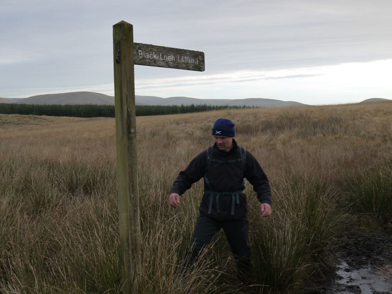
David demonstrates quagmiring
A mountain biker passed us just after we got back on the SUW, the only other soul we met on the hills. We left Sanquhar Moor at a kissing gate with a latch (I had thought kissing gates didn’t need latches) and a sign warning us to “Beware of Bull”. From the position of the sign I presume the bull was where we had just come from but luckily we didn’t see it.
After passing through some trees we descended into a boggy area around the Loch Burn. The worst bogginess is crossed by a series of slippery warped boardwalks that need either some chicken wire or extra care. The Loch burn doesn’t actually connect to the loch.
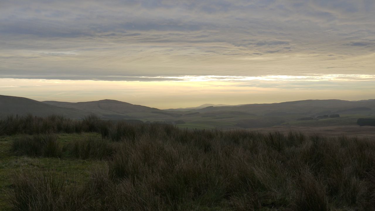
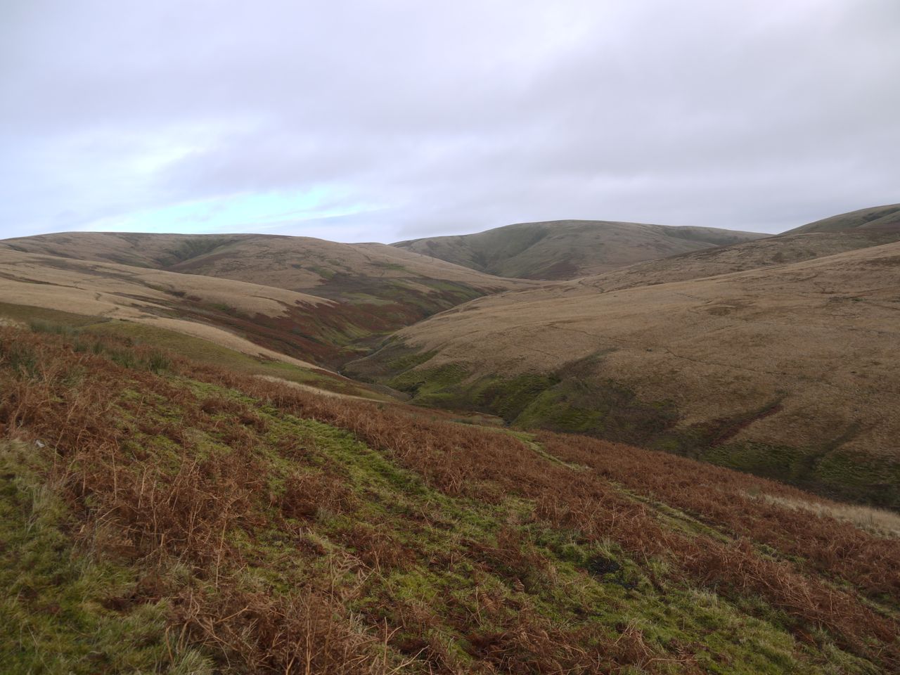
After Loch Burn there was a short section of farm track before we were back on to moorland and a climb up the col to the SW of Conrig Hill. The higher ground here gave us a more extensive view stretching from Criffel in the south to Corsencon in the north. The large cairn on Cairnkinna was visible to the naked eye. The views gave me an excuse to stop now and again during the climb (the picture at the start of the blog).
Once onto the col we were treated to the double-edged sword of a pleasant descent but with the climb up the other side of the valley clearly visible. We used the ruins at Cogshead as seats for a coffee break.
Cog Cleuch
From Cogshead the SUW climbs slowly across the slopes of Highmill Knowe then down Glengaber Hill. The path is easy enough to follow and was only muddy where it crossed small watercourses. Once over the lip of the hill we had a view up Wanlock valley. I say up, and it did look to be up, but we were actually looking down the valley 9unless Wanlock water flows uphill. This must be a “magic hill” optical illusion.
Coming off Glangaber Hill
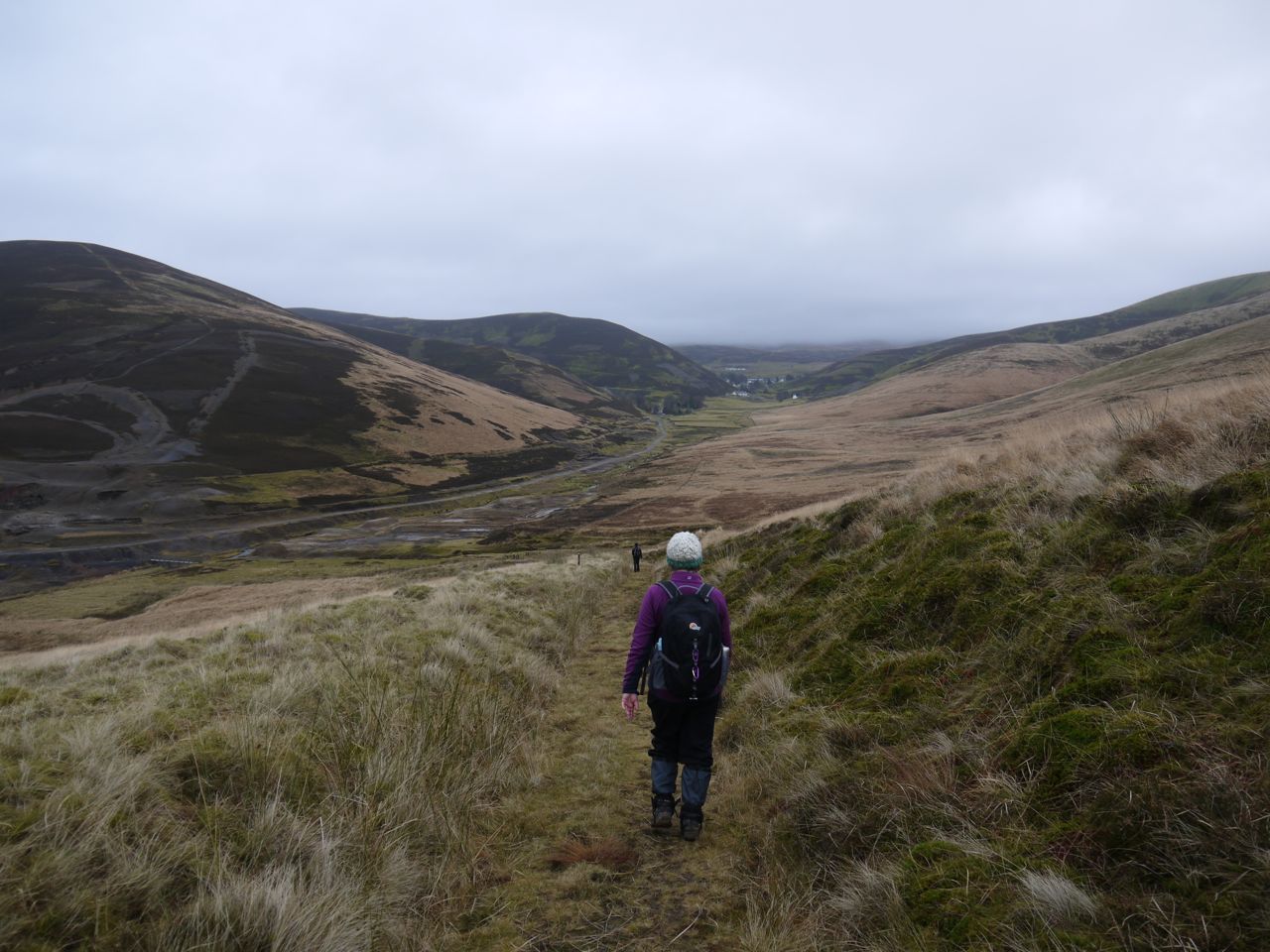
Passing into the Wanlock valley we walked from natural wilderness to nature bearing industrial scars, especially Sowen Dod. We had a quick look at the ruins of mine workings and smelting works and then headed off along the road towards Wanlockhead passing the old cemetery.
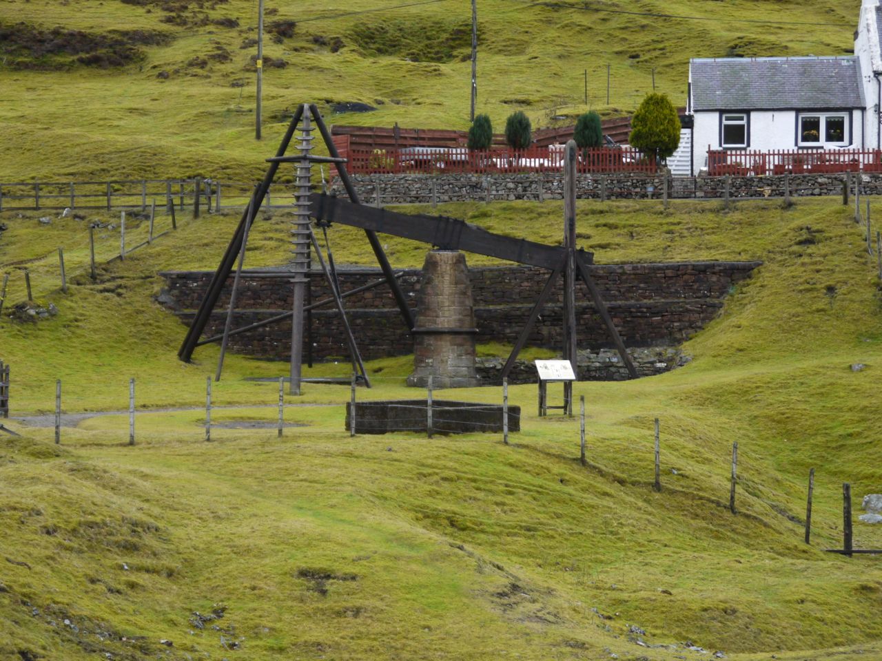
Beam Engine
The SUW leaves the road a little before the town and follows a path on the far side of Wanlock Water past the Beam Engine and Lochnell Mine. Being November, the Hidden Treasures Lead Mining Museum was closed for winter so we had our lunch in the Fraser Memorial Institute Gardens.
With: Audrey and David
Alternate SUW route between Cogshead and Wanlock Water.
[sgpx gpx=”http://www.screel.co.uk/walks/wp-content/uploads/2013/11/RK_gpx-_2013-11-30_0942.gpx”]
