
14 miles 6h 37m 509m ascent; max elevation 296m Culmark Hill
 Route: SUW from Hen Craig to Stroanpatrick (with a couple of detours)
I have not seen the phrase “Very wet underfoot” in a weather forecast before, but I’ll have to say that the MWIS were spot on with it. Driving to and from the walk I sometimes had to use the windscreen wipers on the fast setting. The rivers were full on the drive out, but by the time we were driving home many had flooded beyond their usual banks. We had some torrential showers on the walk, but most of the time it was drizzle. There were times though when we could take our hoods down when the drizzle abated, and at least there wasn’t much wind. Driving rain would have been worse than the dreich day we had, I think, so things could have been worse.
Our drive took us through Moniaive to leave a car by the black hut at Stroanpatrick then over Kendoon Loch by the wee bridge that is “not suitable for HGVs”. Later in the day the loch’s waters were much higher and had flooded its banks near the fish farm. Driving along the road to Hen Craig, our parking spot, I looked out for the sign where the SUW left the road but didn’t spot it.
We left a car at the parking spot near Hen Craig. Behind us was Drumbuie Hill (the yellow ridge, Drum Buidhe) which did have an autumnal yellow tinge. I hadn’t noticed this huge looming ridge when were last here in the mist so it was a bit of a surprise. It was raining so heavily that we had to put on our boots and waterproofs while in the car otherwise we would have been absolutely soaked through.
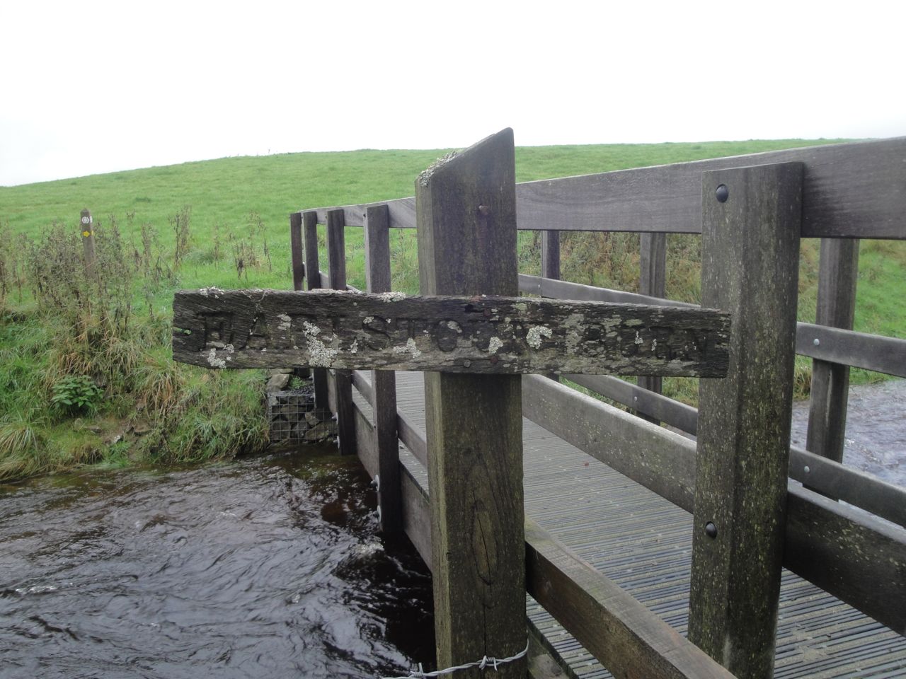
So, fully togged up we checked the time, 9.45 am, and set off down the gravel track that soon joined the single track road. The rain continued and we could hear the Garroch Burn roaring to our right, making it difficult to hear a car when it came up behind us. I knew that the SUW left the road near the bridge over Garroch Burn but the rain drops on my specs and on the waterproof map cover made it difficult to see exactly where.
I was sure, at first, as was Audrey, that we had seen a sign post indicating the route when we were here before. Unfortunately my memory began to play tricks with me. I began to doubt my recollection. The map, seen through the multiple refractions of raindrops, looked to me to show the path leaving the road at the bridge, rather than 200m beyond it, and there at the bridge was a track heading in what appeared to be the right direction.
We had a period of indecision in which we considered walking back up the road, further along the road, or along the track, which I’ll have to admit was beckoning me as if by an enchantment. We discussed the lack of a signpost, and I convinced myself that my memory of such a post was a figment of my imagination. At such times it is important to make a decision and then imbue that decision with confidence, and that I did. We set off along the track, me 100% confident with the decision.
This track was muddy in places, flooded in others. We had to duck through trees at times to find ways around muddy pools or across flowing water and eventually reached a rusting gate. The gate stood, as gates so often do, across standing water. It looked as if it had not been opened in a generation, and there was no path beyond it. I searched the distance for the non-existent SUW post then felt my confidence ebb as the enchantment wore off.
Cosulting the map again I could now see that the SUW left the road between the bridge and a track heading to Old Garroch. We retraced our steps through the woods to Garroch Bridge and continued along the road until we reached the SUW signpost. As soon as I saw it, I remembered it. It is about 250m past the bridge.
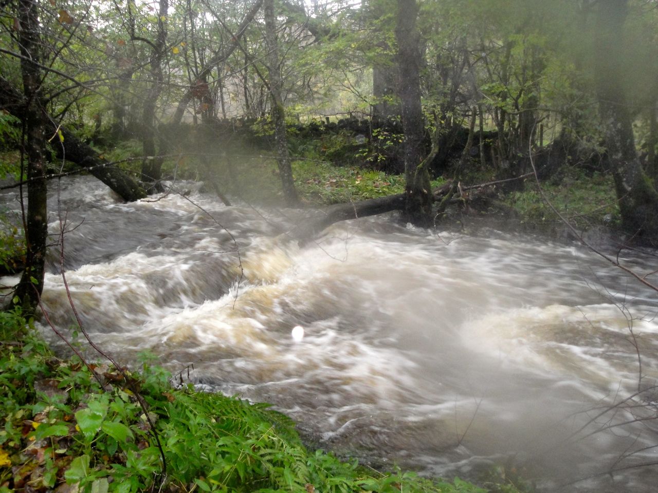
Garroch Burn in spate
So we left the road and walked through the woods to the banks of the Garroch Burn which was roaring along. A footbridge took us back across the burn, through a metal kissing gate and into a quagmire. Here the trail went dark but we spotted a wooden walkway/footbridge and took that as a sign of the SUW.
The burn to our right was only a couple of handbreadths short of flooding our path and we had to pick our way carefully. There were more walkways though some were close to being submerged. A gap in the bracken was our only clue when the SUW left the side of the burn for Waterside Hill but after a hundred metres or so we noticed a marker post hidden in the bracken to confirm we were on the right track.
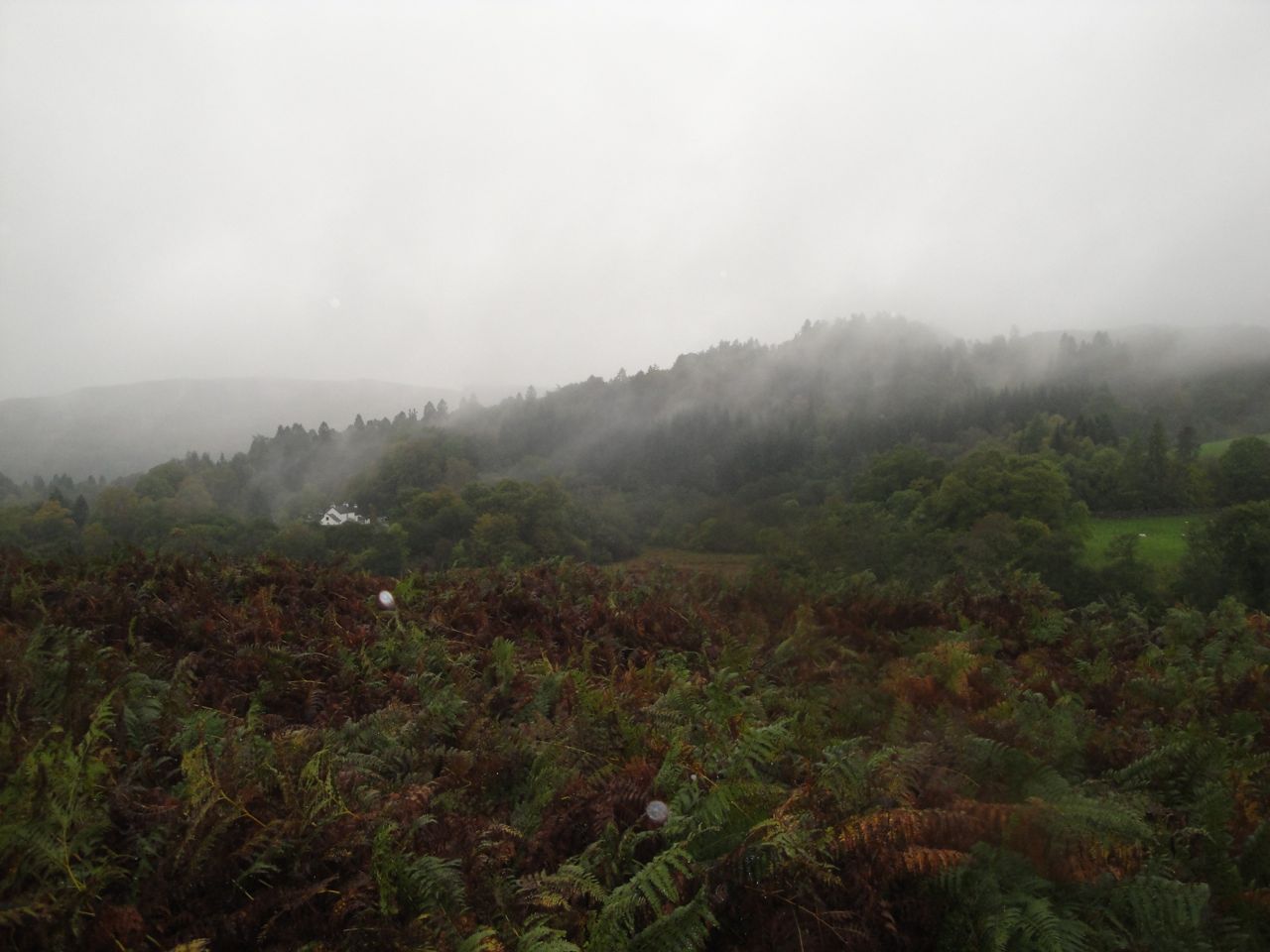
Garroch Hill from Waterside Hill
On Waterside Hill we found ourselves walking along a firm grassy path through the bracken. There are said to be great views from this hill but the weather denied us the opportunity. Having said that we enjoyed the view back to the nearby mist covered Garroch Glen while we got our breath back and munched some Jelly Babies. In better weather Waterside hill would be a good place to stop for a bite to eat. There are plenty of rock outcrops to sit on while enjoying the views and on the way down we passed an ideal spot, a lichen covered tree standing over some seat sized rocks. Someone else must have thought the same and had bedecked the tree with bunting, though the colours had long since faded.
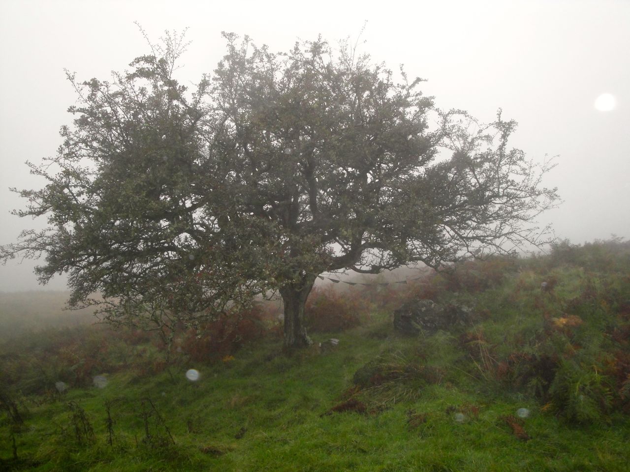
Bunting hung tree, Waterside Hill
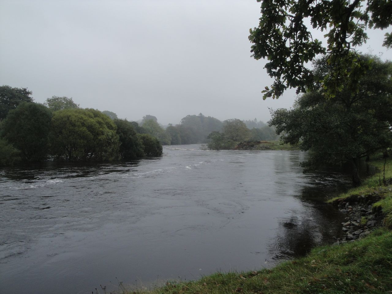
We headed down towards Earltoun power station with the Water of Ken now coming into view. The SUW crosses the A762 to reach the river bank and follow it downstrean to the Boatweil footbridge. The river was obviously fuller than usual with trees sprouting from the water where they would usually stand on islands.
The Boat Weil bridge was built for the SUW by 33 Independent Field Squadron RE in Spring 1982. The Boat Weil, where bridge now stands, is the section of the Water of Ken previously crossed by a ferry. This ferry was used by pilgrims heading for Whithorn including King James IV who in 1491 paid 5s for being ferried across the water with his retinue. The ferry worked until 1800 when the Allengibbon bridge was built. A weil, by the way, is a whirlpool.
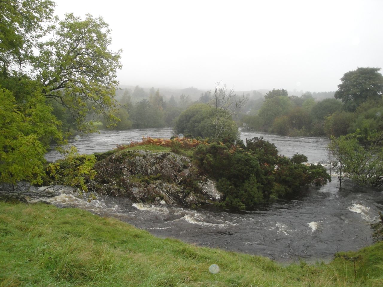
Water of Ken
The Boat Weil is a suspension bridge and bounced up and down as we crossed. I suspect that Audrey was bouncing it on purpose behind me to give me motion sickness. Once back on firm ground we walked up by the church and an SUW information board standing beneath the old motte.
On a drier day we might have sat on the picnic benches outside the pub but the bus-stop provided better shelter. The design of the bus-stop, with a misericord rather than a seat, had ensured there were no horizontal surfaces to set a cup or bottle upon. We did have the ground of course.
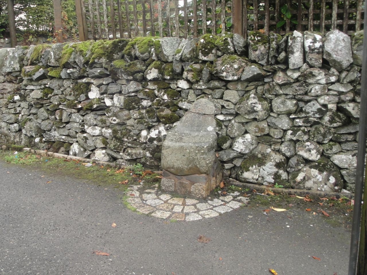
I took a picture of McNaught’s fountain and the unusual church, which I have now found out is the town hall. Then, re-fuelled, we set off through St John’s Town of Dalry. I was keeping a keen eye out for St John’s Chair, a child’s size seat. Historical descriptions are of a large stone which this certainly is not. I suppose I should have sat on it but didn’t think to do so.
St John’s Seat, Dalry
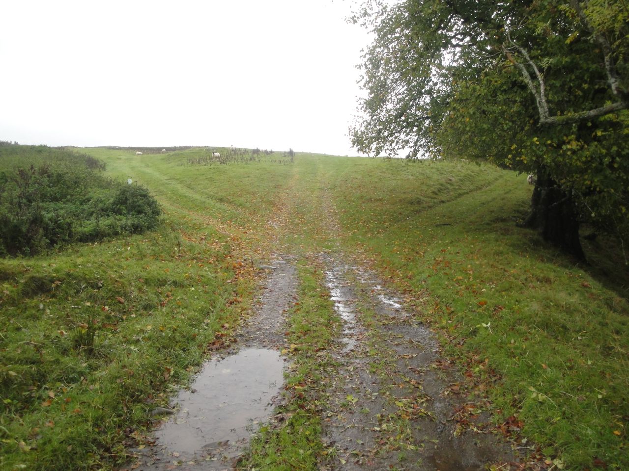
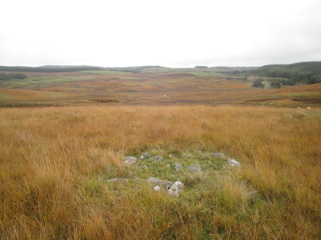
The SUW leaves the main road at St John’s Chair and passes some houses before joining a farm track past the house at Creaganfois. A large black and white hut here would make an excellent summerhouse but seems to be a storehouse. After the hut the path took us past autumnal trees then across rough rocky farmland. A large pile of stones here looks very much like a cairn, but I’m sure an ancient cairn would have been robbed of rocks to build the nearby stone dykes so this is more likely to be a pile of stones cleared from the field.
We made our way towards the farm buildings at Ardoch, with little to mark the SUW itself, other than the gates in walls. At Ardoch we found some SUW markers and followed these alongside the tall trees of Ardoch Glen.
After Ardoch Glen the track split in three directions, without any clear sign which was the SUW. From the map it looked as though the SUW continued in much the same direction and this seemed to fit with the left fork, so we went that way. The track from the middle tine of the fork rejoined us quite soon. As we were to find, the right hand fork was probably the correct one.
Three ways
Our path should have skirted around the lower slopes of Ardoch Hill but we found ourselves drifting higher albeit still on a well-trodden path. But the path then gave out leaving us looking down towards the Earlstoun Burn. Since the SUW runs in a 150m gap between the burn and the forest, we decided to head for the gap. The dykes here were all augmented with barbed wire fences so we detoured to gates where we could and in doing so found ourselves back on the SUW. We could see a marker post behind us but none on the way ahead so headed on towards the burn-forest gap.
To say this area was boggy would be to expect too much of the word boggy. We came upon an un-named burn that was far wider than a leap and already spreading beyond its usual boundaries. I looked into the clear waters trying to decide how deep it was if it had to be walked. Just as I was creating the words to say it “wasn’t that deep”, I realised that the “pebbles” I was seeing at the bottom were the upper leaves of a submerged bush.
We followed it upstream but were really just trying to find a way across a flooded field with a burn in it. Having found the least worse of the crossing points we went for it, tramping through flattened reeds lying on the water. Sadly worse was yet to come.
Having reached an island of dry ground beside an SUW marker post and got our energy back we looked around to see which way the SUW might go. A faint trace through the reeds led back into bog but we chose to stick with the high ground and were delighted to find an SUW gate into the next field and a waymarker post half-way across that field.
The OS map shows a small burn crossing this field and the track we were on led to this burn and out the other side. I presume one can normal step over this but we found a fast flowing stream more than 3m wide. We could not see the bottom but judging by the tops of trees that were poking out of the water I thought it too deep to wade across. Looking upstream there was no obvious crossing point and if anything the burn seemed to widen.
Burn blocking our way
This was a potentially walk ending problem. We decided to follow the burn upstream for a while to look for a crossing and failing that we would need to walk 5.5 miles back to Dalry and get a taxi to one of the cars.
We could not follow this burn upstream along its banks since the field around it was flooded so we headed back through the gate and across the trace we had seen in the slightly less boggy grass and reeds. We made our way to the wall at the edge of the forest and climbed another wall into the corner of the field with the flooded burn.
Audrey’s crossing of one of these watercourses was not entirely successful, measuring success as dryness and uprightness. I will say no more except that she remained calm and carried on.
The wall between forest and boggy field was acting as a dam to water flowing from the forest and had water issuing wherever the wall had collapsed and between its stones where the wall was complete. Our only way forward was to climb sideways along the wall until we found a shallow section and get back to dry land.
The original Earlstoun Burn had been diverted from here, the original river having meandered through these low lying fields. You can see that the modern Earlstoun Burn is unnaturally straight here. I think the various un-named burns blocking our way are the original routes of the burn, but with the heavy rain these “drained” waterways were reverting to their natural state.
Footbridge at Earlstoun Burn
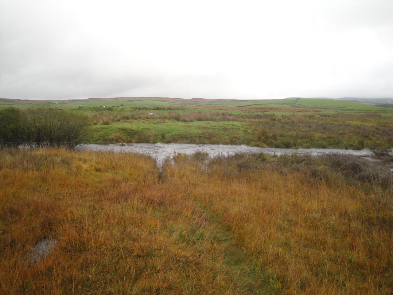
After the watery unpleasantness we crossed a footbridge over the new Earlstoun Burn and followed the SUW along the river bank. The river bank was not easy going being made up of randomly scattered rocks and mud. I wonder if it might have flooded later in the day. The grass 5m away on the other side of a stone dyke looked much more inviting but eventually a marker pointed us away from the river and we climbed on to the moorland heading from one marker to the next. I would normally have said that the going was boggy in places, but compared with our recent experience this was firm and dry.
On featureless moorland it can be difficult to keep to the SUW and when there were no SUW posts we followed any tracks we could see, but these sometimes led off in several directions. Shorter marker posts could be hidden in bracken but we also passed at least four posts lying on the ground without any hole to re-plant them in.
Moorland at Corseglass
Above Coreglass we could at least see the road to our right and knew that we should eventually converge with it. Despite this, following a trodden track led us astray, onto the 220m knowe marked on the OS as having a settlement. Once on top of it however we could see the road again, but also a marker post where we should have been.
Once over the last brew we could see the road junction. There is a sign to Lochinvar and one warning us that the road is liable to flooding. It was indeed flooded to the west of us. The rain had stopped (almost) and having my feet back on firm ground I decided it was time for a rest break. Four miles or so to go but no more bogs.
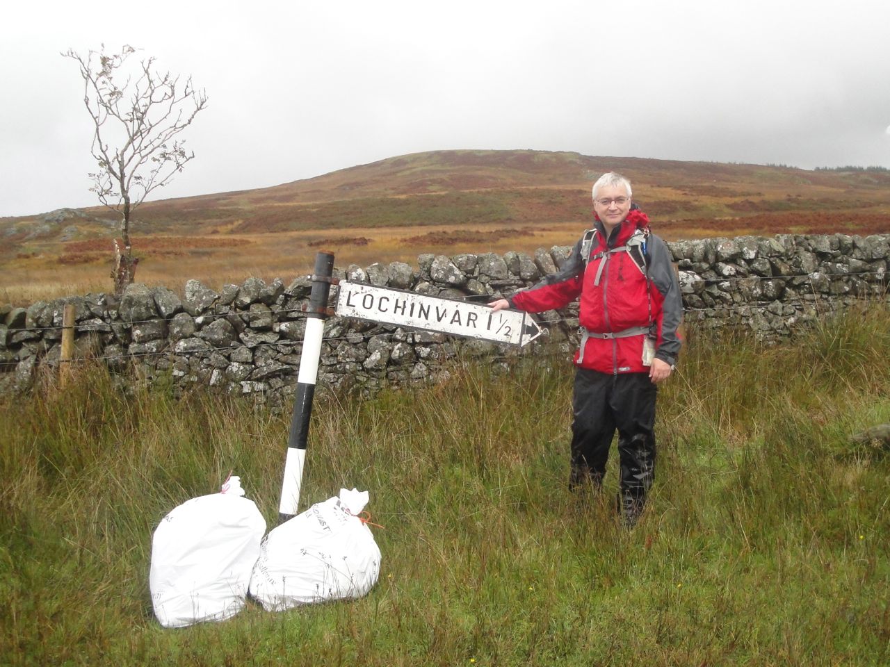
Young Lochinvar is come out of the west
The road north was a welcome break, no need to look for marker posts for a while, no boggy sections to avoid, no rocks to twist an ankle. We walked down crossing the Black Burn on a road bridge and then I started counting the paces for the 400m to where we would leave the road but stopped before 200m when I spotted the SUW sign in the distance.
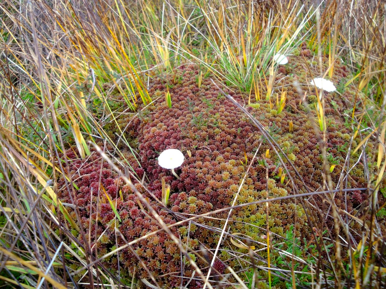
Mushrooms on moss
Several marker posts were lying on their sides on this stretch but there was enough of a track to keep us from straying. We climbed over Marskaig Hill and onto Culmark Hill. I had hoped we would be able to see the black hut or the car to boost our spirits and though we could see the farm at Stroanpatrick the car wasn’t visible until we were close to Stroanfreggan.
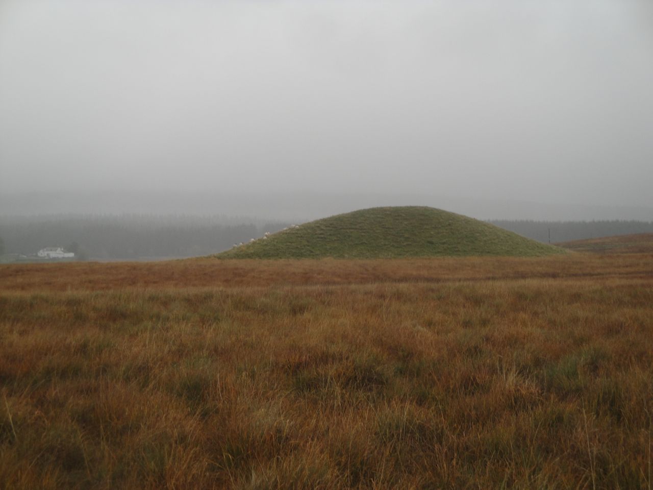
Mound at Stroanfreggan
Once at Culmark Farm we joined a farm track that took us across the Stroanfreggan bridge and back to the car. The track between bridge and road has a large green mound to the west and the remains of an ancient cairn to the east. The cairn once contained bronze age items but has seen better days. I’ve read that the origins of the grass covered mound are uncertain. It is not clear if it is natural or man-made but I hope it hides another burial cairn.
The unrelenting rain and bogginess underfoot left us a little damp at the end of the walk and it was a relief to get some dry clothes on. Unfortunately the heavens opened with a vengeance while Audrey was transferring her stuff into her car so she didn’t stay dry for long.
With: Audrey
