
10.7 miles 4h 47m ascent 368m; max elevation 451m, slopes of Cloud Hill
 Route: SUW Polskeoch to Sanquhar
At the end of SUW7 we had left the SUW just after the Chalk Memorial Bothy taking the “Lorg Trail” through the mud of the woods and across the mud of the hillside to Lorg. On the eve of SUW8, Audrey sent me a message recommending that we drove to Polskeoch rather than walk back in along the muddy Lorg Trail. Unfortunately I had concerns with the road to Polskeoch (23 miles). I had driven up it after climbing Cairnkinna a few years before and had turned back at a gate. I couldn’t remember exactly where the gate had been and didn’t know if it had been locked but it would be a long drive up the Scaur Valley to have to backtrack.
There were two other possibilities: the road up the Euchan Glen (10 miles) did not go all the way on road maps but I could see that it was continuous on Google Earth; or the forestry roads down from Kirkconnel (14 miles). The road to Lorg itself would be an 84 mile round trip.
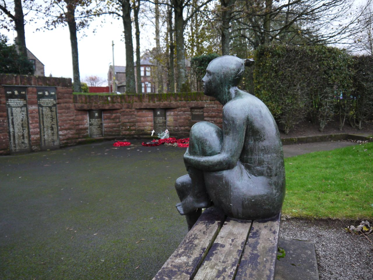
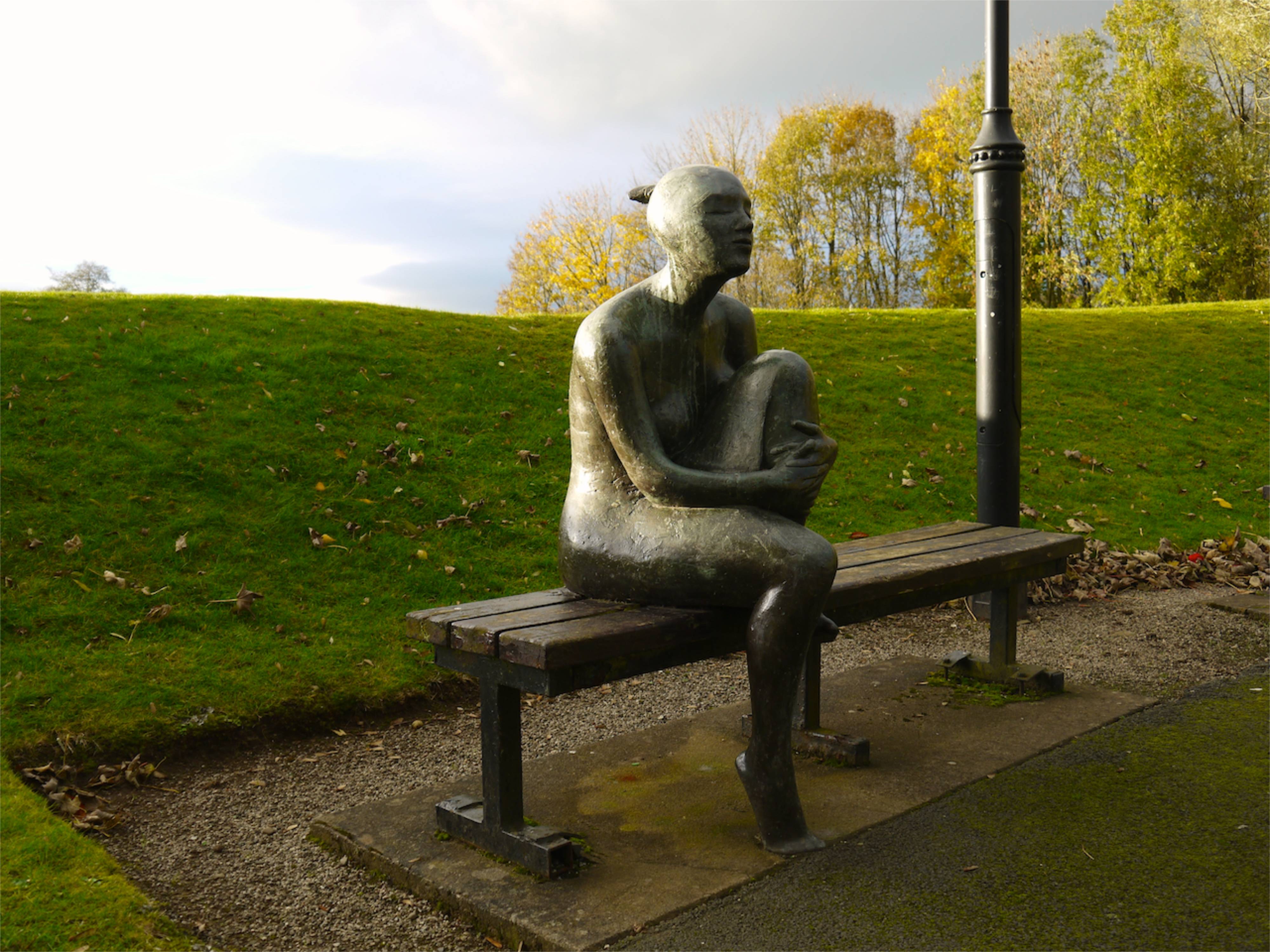
Sanquhar War Memorial
We started at the car park near Sanquhar’s War Memorial and before setting out we visited the memorial. A bronze female figure sits facing the listings of those who killed in WW1, WW2, the Korean War and the Indonesian Conflict. The figure’s head is lifted as if gazing into the distance and her eyes closed adding another dimension to the memorial and bringing additional poignancy to the place.
Hoping for the best we drove up the road alongside Euchan Water, a pretty drive up a reasonably maintained single track road, albeit with very few passing places. At Glenglass our hopes were dashed. The road, or a more dilapidated version of it, continued on but our way was barred by a padlocked gate. At least there was plenty of room at the road end to turn around.
So it was back to Sanquhar and then we headed off to Kirkconnel and the road up to Libry Moor. This looked very promising: the gates were open and the road both wide and of good quality. Presumably this road once served the nearby mines. The Fates though were watching (or listening) to us, for as soon as we commented on the excellent quality of the road, it deteriorated into a mud covered, pot-holed forestry track so uneven that it almost shook the teeth out of my mouth. Don’t wait for your lithotripsy, just drive along this track.
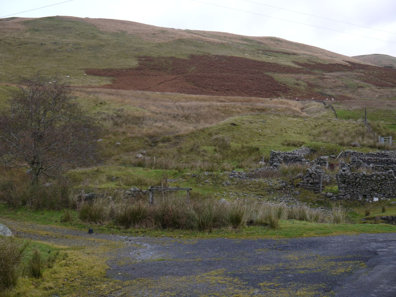
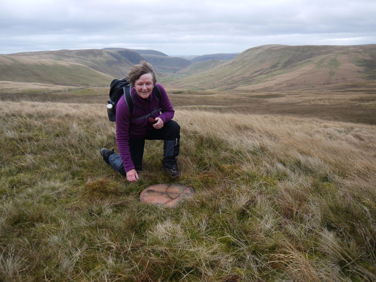
Driving along the mud covered road had a similar feel to driving on ice so it was slow going. Luckily we didn’t come up against any locked gates or blocked roads and were able to drive all the way down to the Polvaddoch Burn at the head of the Polskeoch/Scaur valley. It was just 100m back down the track to where we left the SUW at the Lorg Trail when walking the previous section. We then popped back to the bothy so I could get a photo, since last week’s pics didn’t come out. It was a bit soon in the walk to actually have a rest in the bothy (5 minutes after setting out) so we pressed on.
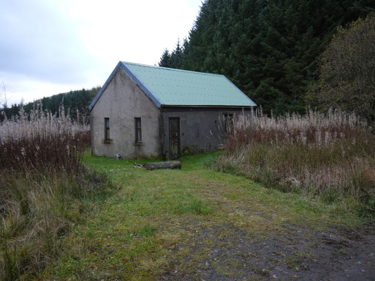
Chalk Memorial Bothy
After fording the burn we walked along the remnants of a road squelching our way around the short sections where it was flooded. Then at Polskeoch the road improved significantly. I had expected the buildings here to be ruins but they are very much in use and in excellent condition. Polskeoch means “water of the hawthorns” so I was pleased to see a stand of lichen hung hawthorn by the road, a remnant of times past perhaps.
Perhaps 0.5 km past Polskeoch we came to a small parking area and a sign saying “Rough Road Ahead. Southern Upland Way. Parking and Turning Area” so I presume the road up the Scaur Valley is open to cars. As we walked along, the road gradually climbed up the hillside but much to our annoyance it then dipped back down to the valley floor at Polgown.
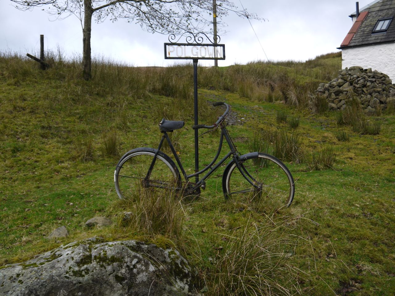
Polgown’s bicycle
Polgown has an old bicycle by its sign, and just to confuse the unwary another sign points to the “Footpath to Tennyson Down and the Needles”. A very long distance footpath indeed, those places being on the Isle of Wight.
A wee bridge crosses the Craw Burn and an SUW marker post indicates where the Way leaves the road for the hillside. We were guided by the post which indicated we should turn right after leaving the road. Here we were faced with a problem. Looking where the sign pointed we saw marsh grass and boggy ground leading to a barbed wire fence, whereas carrying on beyond the marker post was a definite path heading up the hillside. The OS map has the SUW on the up side of the fence so we decided the marker post must have been misplaced. A little way further on though we spotted another SUW post below us, on the other side of the fence. Looking back down the fence line we could not see any way across the fence so clambered over the barbed wire and got back on track.
SUW leaves the road at Polgown
I had thought I would be writing this advising others to ignore that marker post at Polgown and leave the road 10m further on at the far side of the fence. However, much to my consternation, looking at the photograph I took of what I considered the “confusing post”, the gate in the fence is clearly visible. Arrrgh! You can see the track up through the bracken which is not the SUW. Once at the marker post and also when looking back down from above, the gate is hidden from view.
Upper Scaur Valley
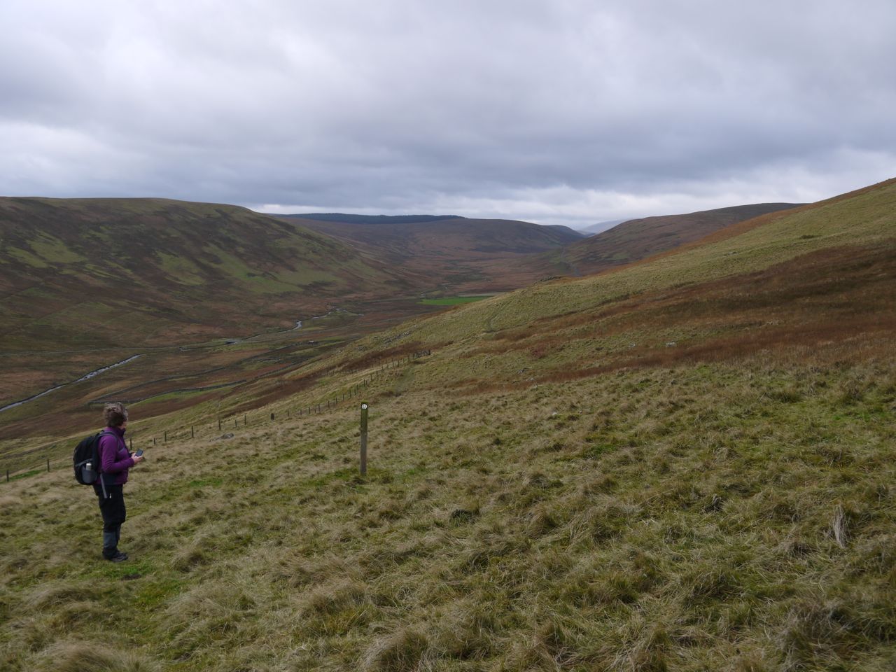
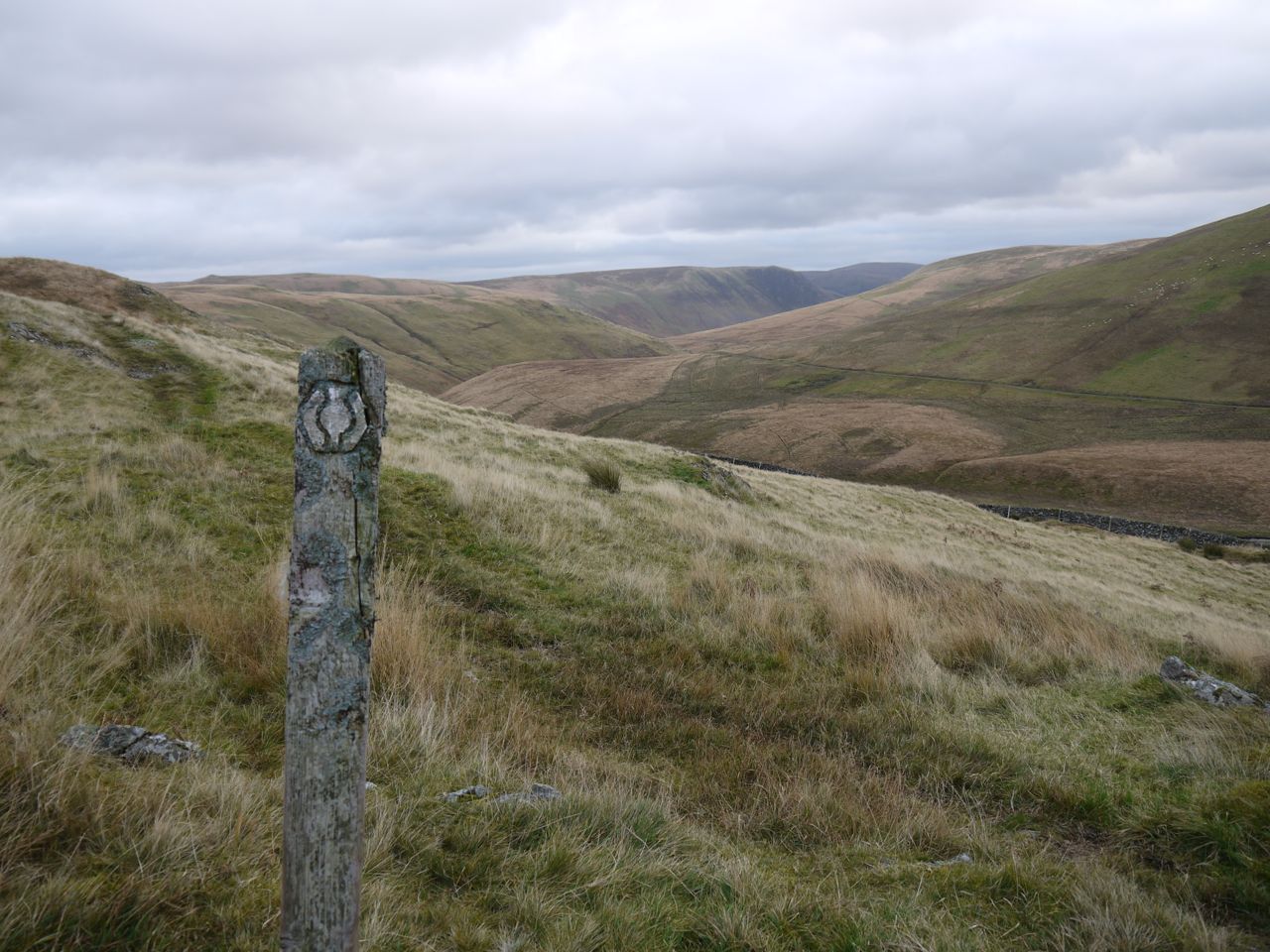
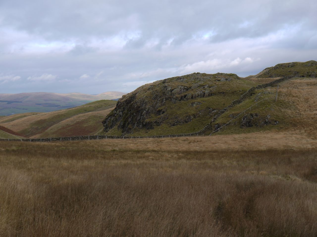
The SUW climbs slowly up the grassy hillside with a track discernible most of the way and the marker posts well spaced. As we climbed the views improved. The dark mass of Glenwhargen Craig and the massive cairn of Cairnkinna came into view and looking back we could see the Polskeoch Glen with the hills of Glenkens beyond.
Scaur Valley from Cadgers Knowe
Glenwhargen Craig and Cairnkinna
I was looking out for an Ultreia SUW sign, even checking the marker posts in case the Ultreia marks had been removed (by weather or vandals). Once we found the Ultreia post we started to search around. The ground downhill was boggy and covered with knee deep marsh grass and having plodded through that I headed up hill for more fruitless searching.
Slightly disappointed, we eventually abandoned our search and carried on. The next post was also marked Ultreia, so we thought the waymerker hoard must be somewhere between the two posts and decided to search back from the second post. We climbed to the rocks above and walked back along the high ground towards the previous post, searching the ground carefully. Once again we found nothing, but as I headed back down to the track I caught a glimpse of sandstone on a small rise. Underneath the flat stone we found the hoard and took a coin each.
Audrey gloats at the hoard
What a great feeling it is to find the hidden treasure! Buoyed up with our success we continued up the hill, eventually crossing the drystone dyke below Glenmaddie Craig. There is a gate in the dyke and an obvious track beyond but there was also a ladder over the wall a little further up, after a short walk between the wall and a fence. We decided the ladder was likely to be there for a reason and went that way.
Glenmaddie Craig
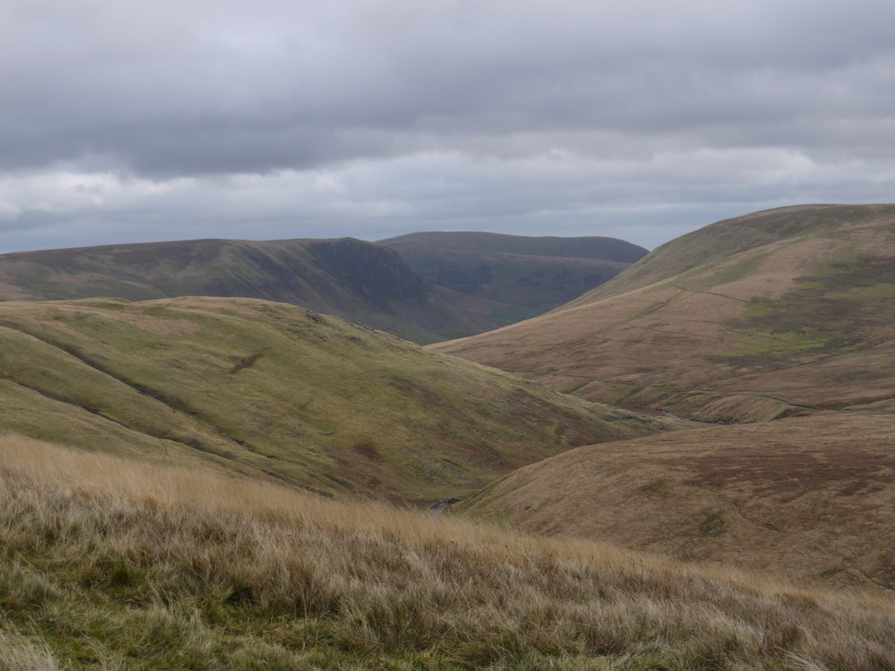
Looking back down we could see that the original track led into a quagmire, so presumably this has now been bypassed. We stopped for lunch at some seat sized rocks with a view down into the Euchan Valley, then headed over the last rise on the slopes of Whing Head.
At Cramley Knowe we finished the uphill section and knew it was “all downhill” from there. We swapped our views of the Scaur Valley for Nithsdale bathed in the golden light of evening, with Kirkconnel, Sanquhar and the Lowther Hills before us. The SUW down Whing had several fallen marker posts but the route was relatively straightforward, and downhill. The main problem was negotiating boggy and flooded ground.
A little before reaching the Whing burn we came across an usual fence construction, a little taller than normal fences with two additional strands of barbed wire and vertical slats of wood across the barbed wire. There were newly planted saplings on the far side and an information board explained that this was an attempt to regenerate natural riparian woodland. It mentioned that grazing would hinder tree growth and it was hoped the new woodland would encourage Black Grouse. Presumably the fence was to keep out sheep and the wood slats to stop the grouse getting entangled in the barbed wire. Who knows?
The Whing Burn has a small waterfall just before the footbridge where we would cross, and on a warmer day it might have been nice to cool our feet in the water. This being November, no cooling was required so we crossed the footbridge and walked through farmland to reach a small road.
We saw some unusual long legged rams in one field and when I got home I thought I’d use t’internet to find out what they were. I haven’t succeeded but I have learnt that there are a lot more breeds of sheep in Britain than I had thought.
Crossing the Nith at Blackaddie Bridge we completed what I regard as the first third of the SUW, the Western Marches from the North Channel to the Nith, and started the next, the Central Marches, from the Nith to the Tweed. (The North Channel to the Nith is actually 43% of the way in mileage terms.)
An SUW information shelter by Blackaddie Bridge tells you what to look out for as you pass through the town.
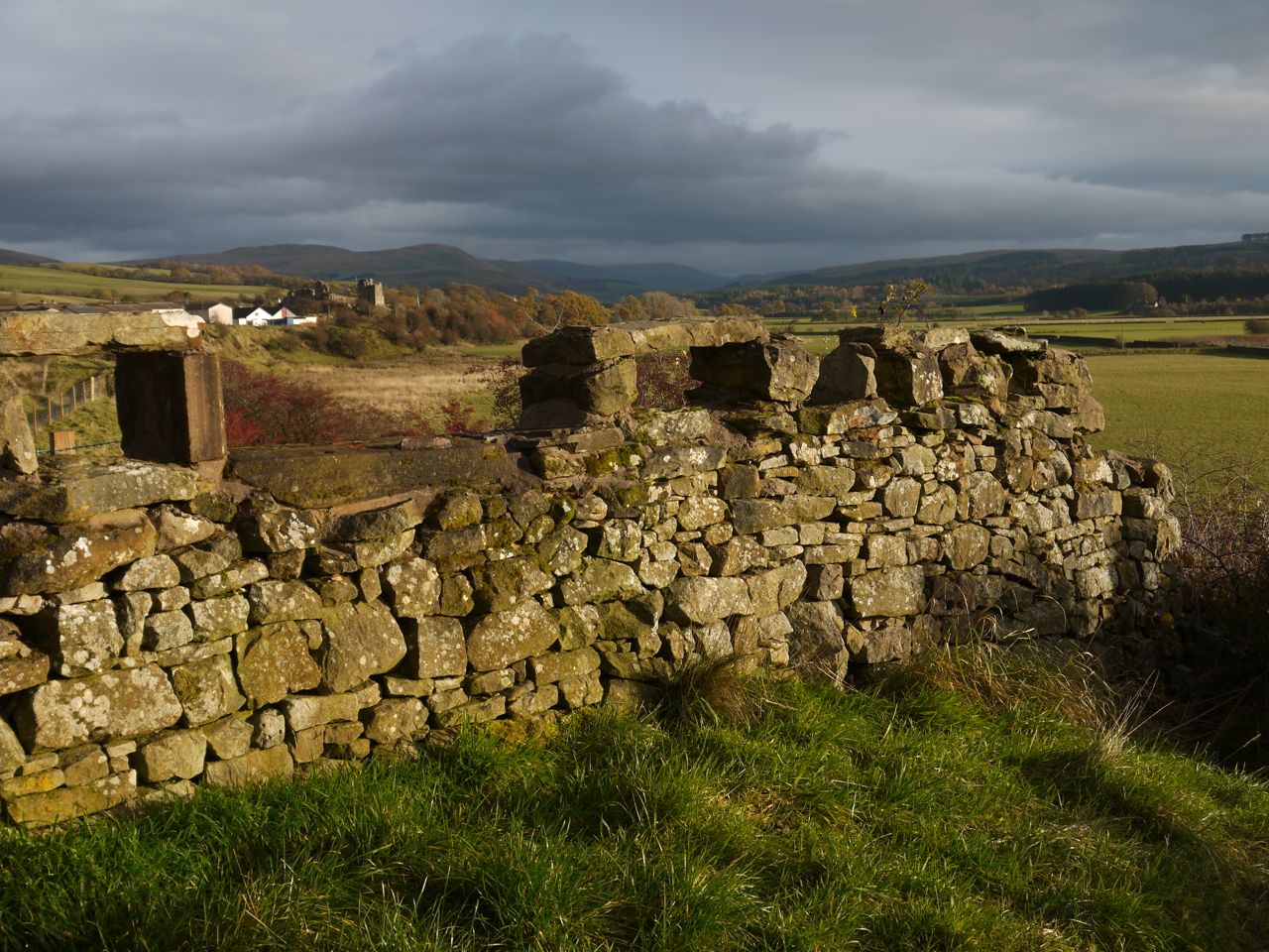
Deer Dyke with Sanquhar Castle in the distance
We walked along the Nith to the Deer Dyke, a drystone wall somewhat taller than usual that would once have enclosed a deer park. Before the dyke is a large piece of sandstone inscribed “Mantua France” which I presume relates to James Crichton, the Admirable Crichton, born nearby at Eliok and killed in Mantua. Just past the dyke we found ourselves in a Fenton scenario with a man chasing his dog who was chasing sheep. “Grab that dog” he shouted and, in case I was gormless, he added “by his collar”. The dog stopped close by me so it was easy enough to hold on to it until the owner came over. When I asked him what kind of dog it was, he replied “a bastard”. Next time I’ll know to ask for the breed.
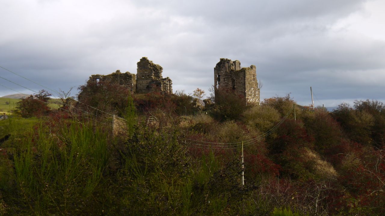
The next stop was Sanquhar Castle which looked beautiful in the golden light with autumn trees beneath it (picture at the start of the blog). The SUW climbs up to the castle though the ruins themselves are fenced off.
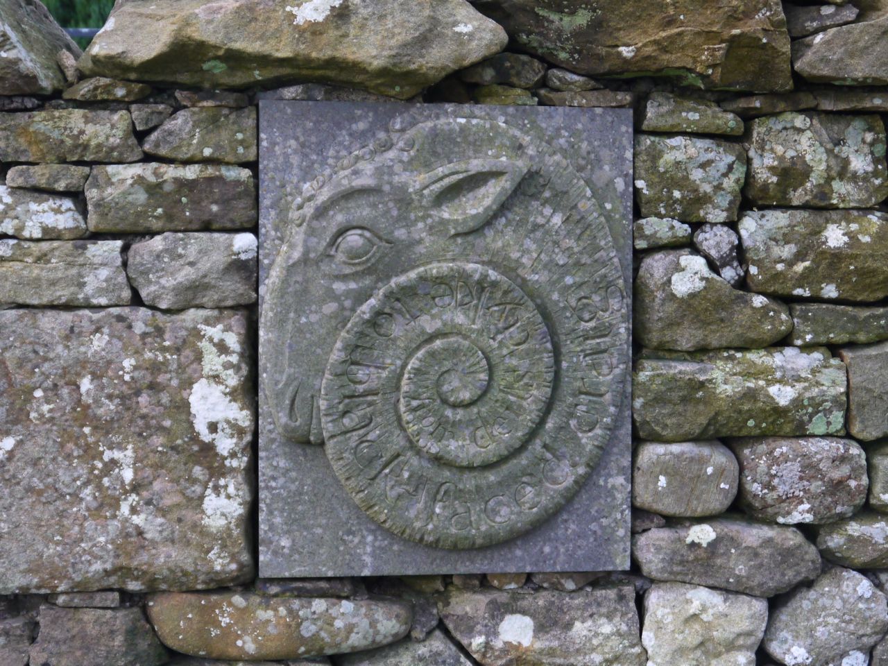
Ram’s Head carving
On the way from the castle to the A76 there is a short section of wall inscribed with a Ram’s head, the inscription reading “from deils dyke to black faced craig”. A signpost nearby points to an “Easy Route” which would have bypassed the castle.
Walking along the A76 we clocked up our hundredth SUW mile. Had I realised at the time I would have stopped to celebrate but the moment passed unnoticed.
Other sights in Sanquhar were the oldest working Post Office in the country; the Covenanter’s Memorial marking where the Sanquhar Declaration was affixed in 1660; the Tollbooth and the Jubilee Memorial (pictures in the gallery below).
With: Audrey
[sgpx gpx=”http://www.screel.co.uk/walks/wp-content/uploads/2013/11/RK_gpx-_2013-11-16_1004.gpx”]
