
12.2 miles 6h 5m ascent 648m; max elevation 580m Benbrack
How does it work?
Route: The SUW from Stroanpatrick to Polskeoch Bothy then the Lorg Trail to Lorg.
At the start of the walk, I actually wondered whether I should leave the waterproof trousers in my rucksack until needed. Since it was a little chilly I decided to go with the full wet kit, and within minutes it was confirmed as the right choice. We were to have a day of almost constant rain. I say “almost constant” because sometimes we had light drizzle and sometimes hail. Needless to say, it was wet underfoot.
David posed at the pick-up point for his photo and then, full of energy, we set off up the track by Stroanpatrick farm. Those who were not paying attention went to see how the gate opened while those paying attention left the track at the SUW post to start up the gentle slopes of Stroanfreggan Craig.
We then ran out of SUW posts (i.e. strayed from the SUW) and drifted a little too far up the slope so that we reached the tree line of Manquhill forest 300m off track. We had been tempted further off course by a fence post with a spot of lichen that looked like an SUW post until we got to it. Joanna and I went to the left to see if there was a way into the forest or any sign of the SUW and had to negotiate a couple of watercourses which would have been wide enough to turn me back, but Joanna, a few paces ahead of me, leapt with hardly a pause so I followed. I didn’t want to seem a wimp by crying off when I’ve got longer legs than her.
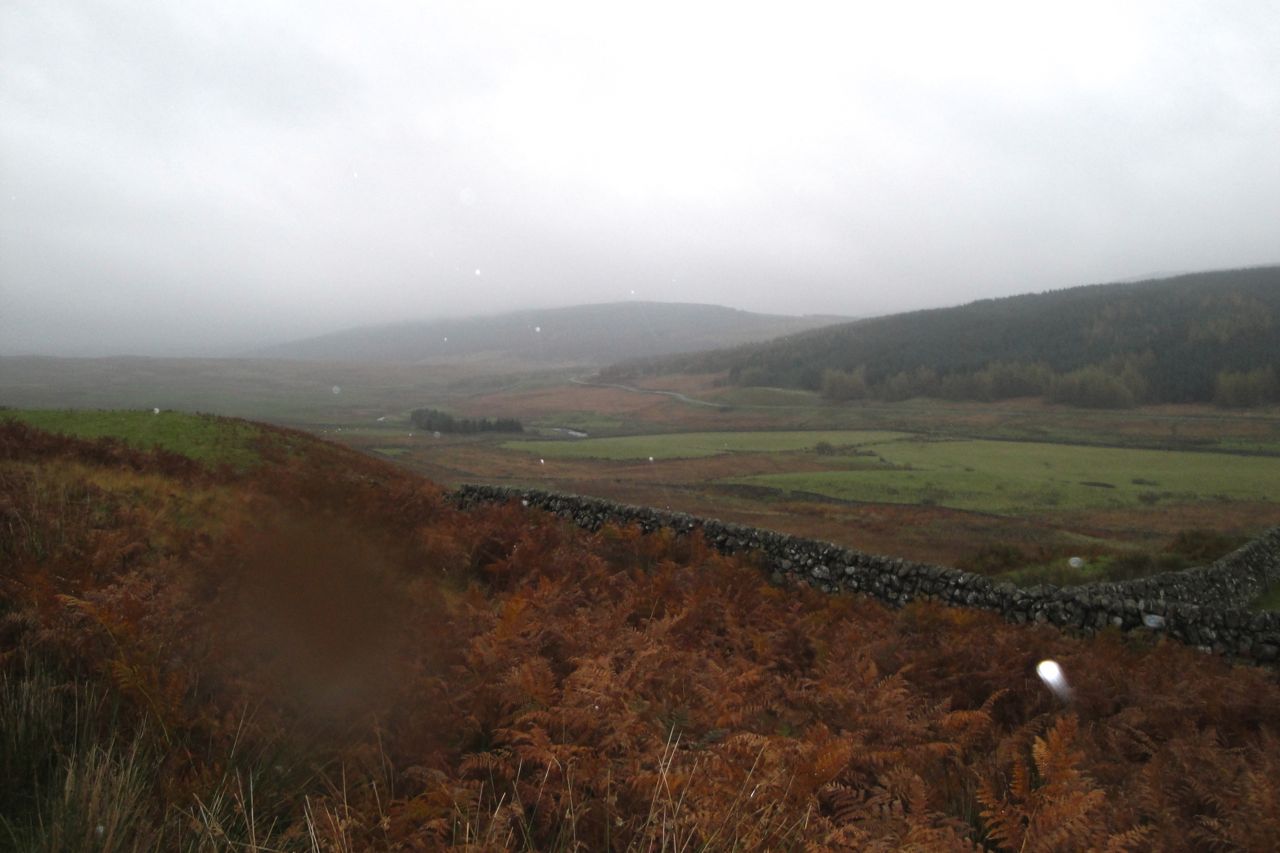
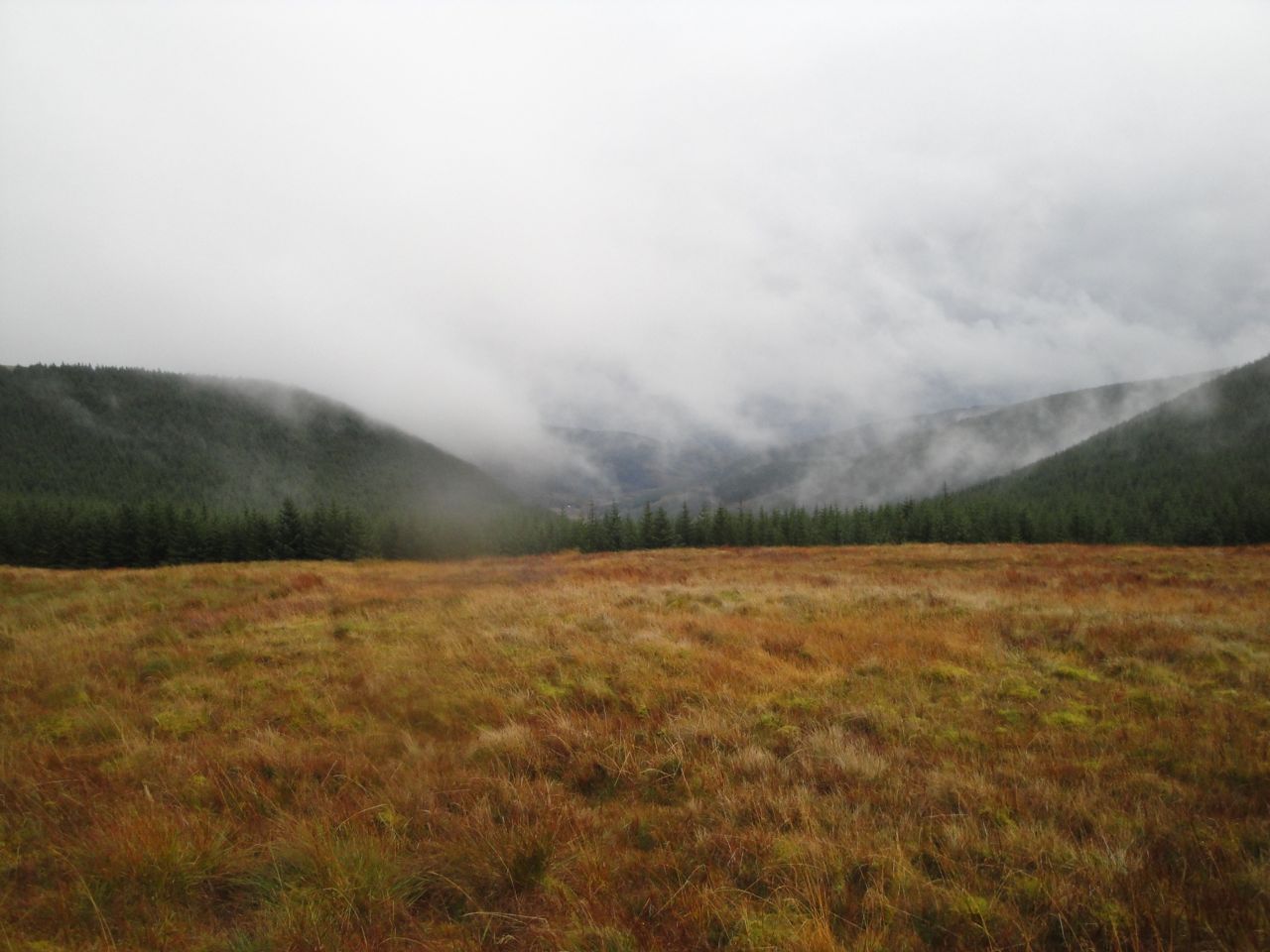
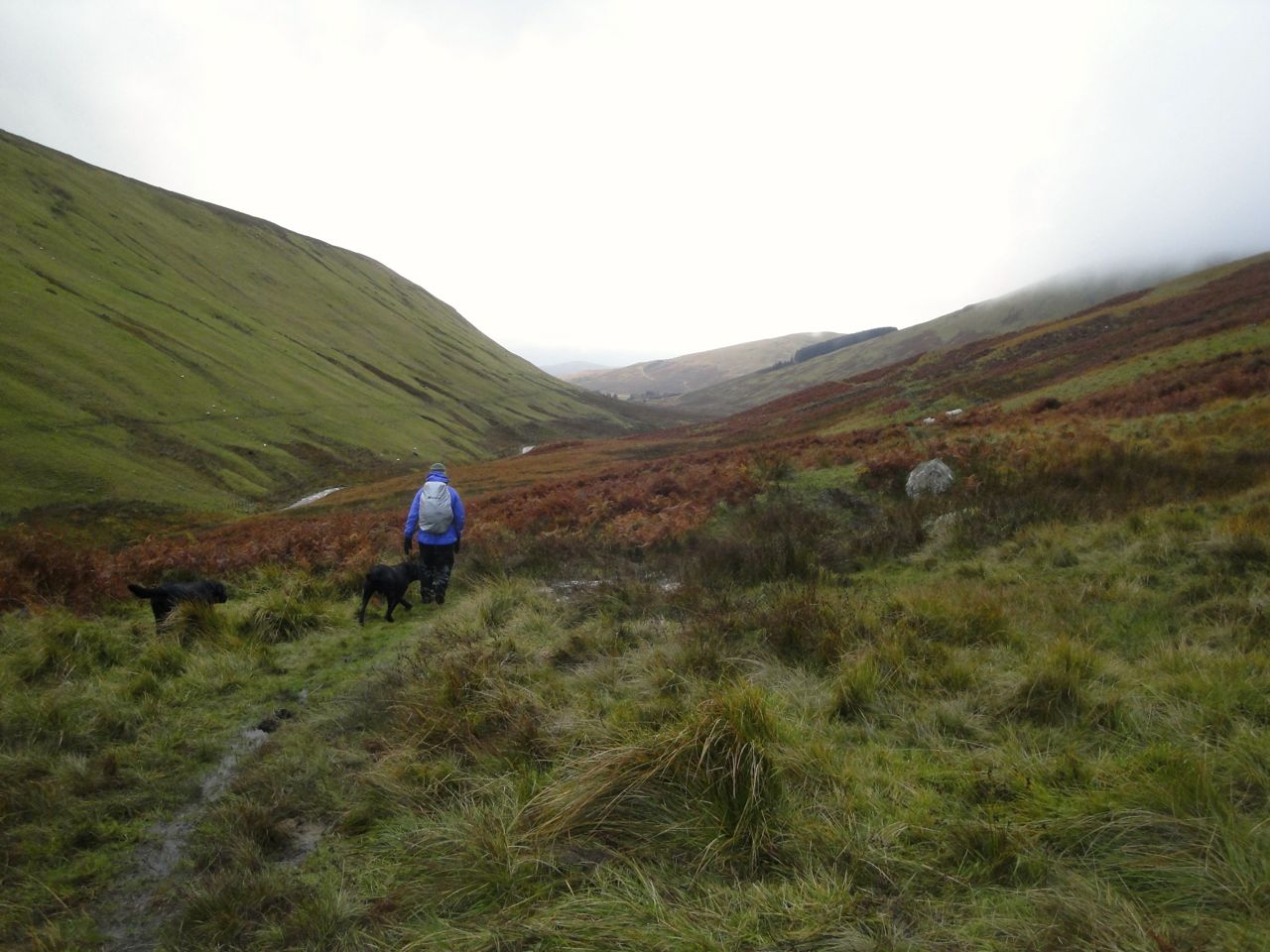
Stroanfreggan Glen
Stroanfreggan Glen in better weather
Having decided that the SUW wasn’t to the left, we headed back to the rest of the group who were waiting on an island amidst the bog that bounded the forest. 300m the other way, through more tussocks and bog, and we found a gate in the wall and an SUW post.
So back on track, with posts to guide us, we headed up Manquhill Hill between forestry planted firs and lichen hung deciduous saplings. I don’t know what these saplings are but I hope they are hazel since Manquhill (Moin Chuill) means moor of the hazel. A hare, our first wild fauna of the day, bounded away from us.
The SUW doesn’t visit the top of Manquhill Hill, but the actual path we followed did, so I presume that enough walkers have gone that way to have left a well-trodden path. Our only views though were grey cloud.
From Manquhill Hill we had a resting downhill section to the twin ponds of the Craigencarse Burn where we found several deer. Most ran into the woods but one stayed behind to watch us a little longer before following the others. This happened during one of the periods of heavier rain so my camera was packed away.
The SUW over this section is raised slightly above the boggy ground but there was still plenty of bogginess and standing water to keep us in eyes-down mode. Walking along I could hear a strange humming from the trees to my right and wondered if it was the wind or perhaps an animal howling. Audrey thought it sounded like a saw, and as soon as she said that it sounded mechanical rather than natural to me as well. Perhaps the noise was carrying up from work going on in the valley.
The weather was showing no sign of changing as we were approaching the exposed slopes of Benbrack. On a better day I would have liked to have a quick breather before the climb then a leisurely lunch at the summit enjoying the views. That plan was going to be unfeasible with the strong winds and heavy rain, so we clambered into the trees for a relatively sheltered lunch. Not the most most comfortable lunch spot I’ve had, but at least there was a firm, if wet, place to sit.
The climb up Benbrack took the wind out of me and the space between walkers gradually became longer. Looking back, as I got my breath back, Manquhill Hill and Whether Hill’s turbines appeared as the cloud base lifted.
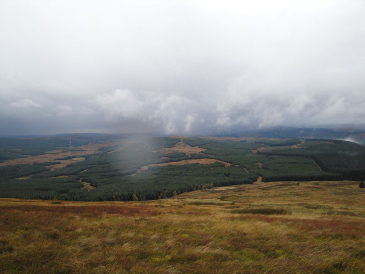
Manquhill Hill
We followed SUW posts up Benbrack following a route that is a good 150m away from that shown on the OS map. When the Striding Arch on Benbrack appeared I was very pleasantly surprised. Benbrack is a typical hill that hides its top from those on its slopes, and I had thought there was still another 150 metres to climb. I had been comparing my position to the top of Manquhill Hill and had obviously got it wrong.
Unfortunately our arrival at Benbrack’s summit was greeted with hail driven into us by a strong wind. I had hoped for a group photo but the vanguard had already pressed on so it was a person free pic. The photo has white spots where the flash has illuminated falling hailstones. You can usually see the Colt Hill arch through this one.
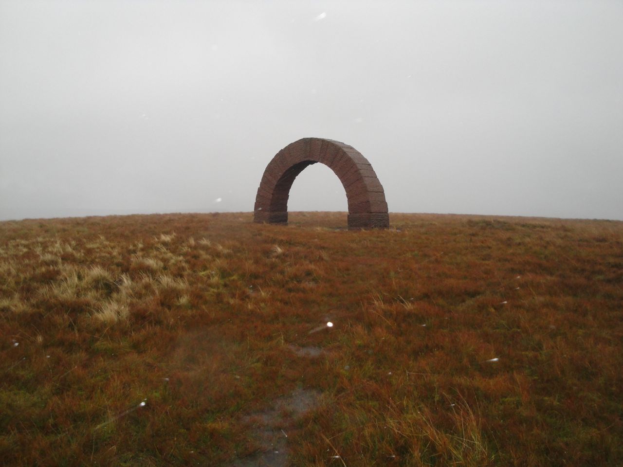
Striding Arch, Benbrack
As we began to descend Benbrack, picking our way around waterlogged ground, it became clear that I had camouflaged the truth in saying it was “downhill from Benbrack, on average”. Perhaps I mumbled the part about the gradient averaging downhill. Anyway, this was a white lie made with good intent and I felt no need to exhibit contrition. Admittedly, Cairn Hill does look a lot more of a climb in real-life than it does on the map.
The ground between Cairn Hill and Black Hill has been very muddy on my previous visits but it was more waterlogged/submerged this time, and tended to clean rather than dirty our footwear.
Fingland Glen from the slopes of Cairn Hill
I was expecting to see trees near the top of Black Hill but the forestry have been a’felling, so there was now a fence rather than a tree line to guide us. Some unthinking person had padlocked the SUW gate shut, leaving us to manhandle dogs over a stile.
From Black Hill we followed the edge of what had once been forest, with views across to Ewe Hill and Lorg Hill. At High Countam the path turned into the forest and made its way along a narrow waterlogged path in a forest break. I see that the area to our right is named Good Bog on the OS map. A strange name.
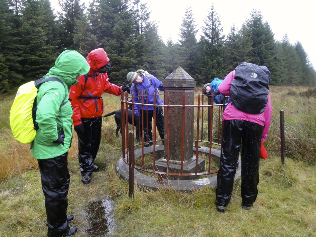
After crossing a forestry track we continued in the forest break to a clearing where several breaks met. Allan’s Cairn stands here at the junction of three old counties: Dumfriesshire, Kirkcudbrightshire, and Ayrshire. This is a memorial to two Covenanter’s killed in the persecutions of the 17th century. There is apparently some question as to the story behind this, with a suggestion that the place itself was named Allan’s Cairn before the memorial was placed there.
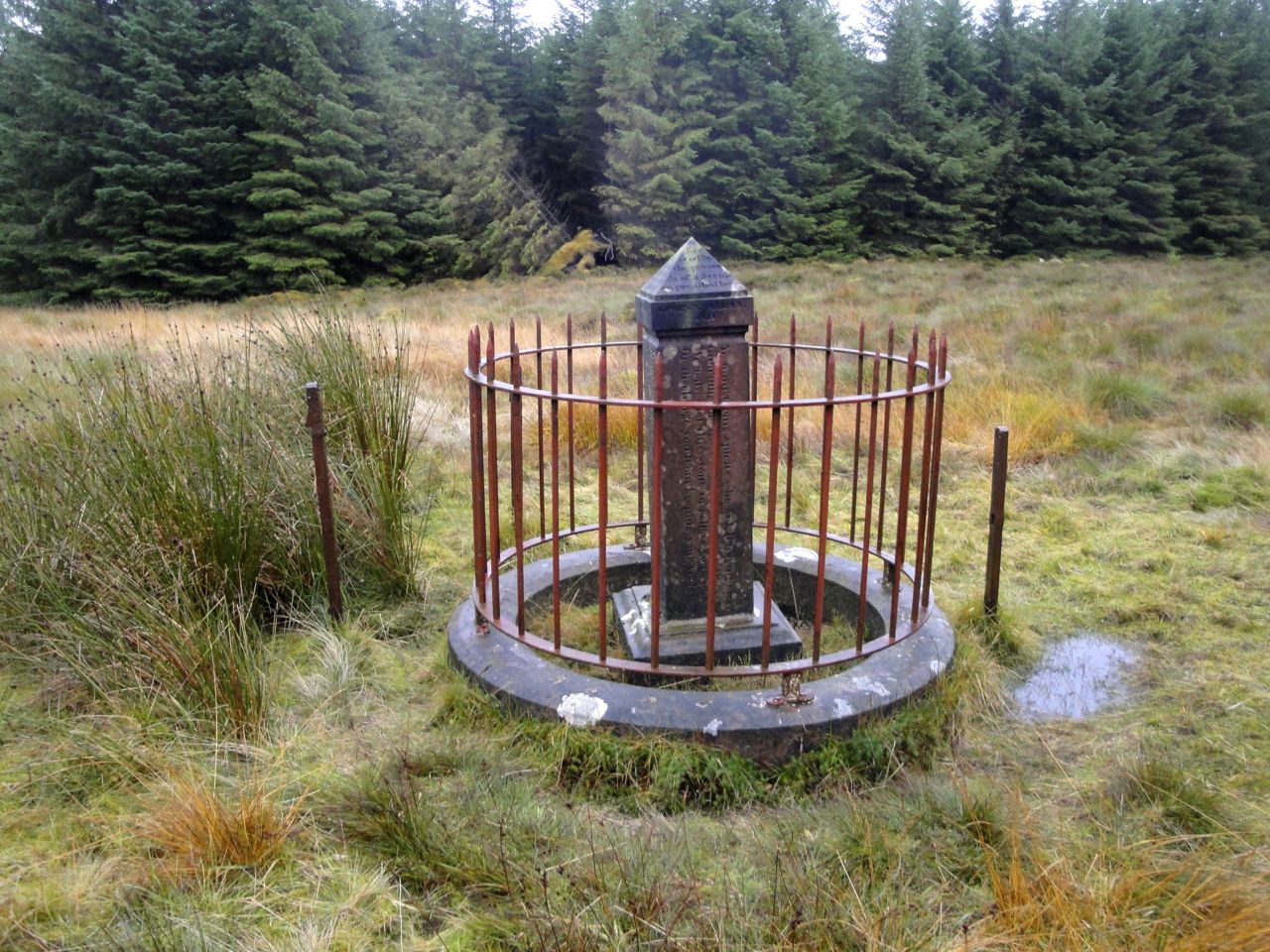
Allan’s Cairn
After Allan’s Cairn it was all downhill (well, mostly) eventually descending to a forestry track above the Fortypenny Burn. A bird of prey, a buzzard from its colouring, was patrolling here.
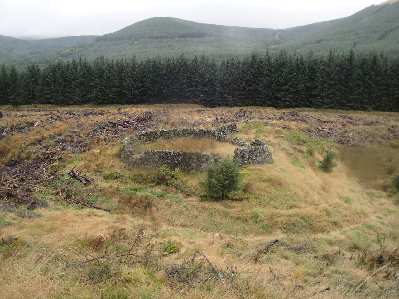
Sheep Pen, Polskeoch Rig in the background
The forestry track takes a rather irritating dog-leg adding almost half a mile to the walk but I am sure the direct line across the felled forest would have taken longer. After the dog-leg we found ourselves at the Polskeoch Bothy. I thought I had taken a photo of the green roofed building but I must have not pressed the shutter release properly because it wasn’t on the memory card. So there is just the interior photo.
The bothy did though give us a brief respite from the rain, though it was quite dark inside.
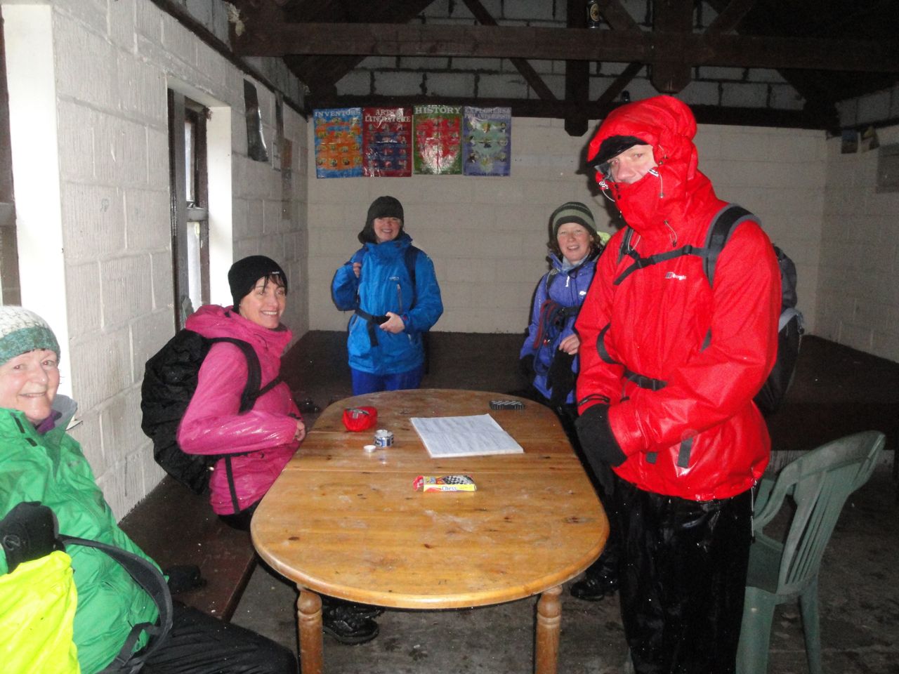
In the bothy
After our rest at the bothy we crossed the Water of Ken (on a bridge) and left the SUW when we found the signpost for Lorg.
The first half of the Lorg Trail is amongst trees along very friable ground that either slips as you stand on it or accommodates your foot like thickened blancmange. This was not especially difficult terrain but did require care. I think we did well in that no one fell.
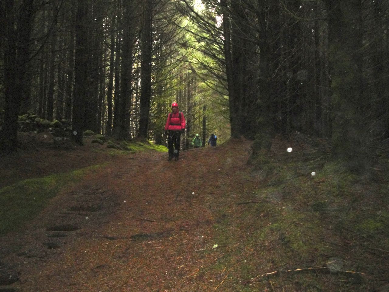
Lorg Trail
Lorg Trail
After the trees we made our way across the waterlogged and muddy lower slopes of Lorg Hill and soon could see our goal, the car.
The weather, poor visibility and waterlogged ground made this section more of a challenge than it might otherwise have been. Our early stray from the path added about half a mile (or a mile for Jo and I) to the distance. Damn those lichen encrusted posts that look like SUW signs.
I enjoyed it anyway.
With: David, Elaine, Audrey, Joanna, Gwyneth.
[sgpx gpx=”http://www.screel.co.uk/walks/wp-content/uploads/2013/11/RK_gpx-_2013-11-02_0942.gpx”]
