7.8 miles 4h 42min ascent 303m
 Route: Derry Farm-Craig Airie Fell-Craigmoddie
This walk combined a visit to the Wells o’ the Rees and Linn’s Tomb with a recce of parking places for a future SUW leg. The sun was out and we were making good time so we drove up to visit the standing stones at Cairn Holy on the way.
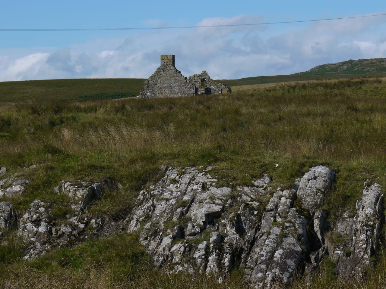
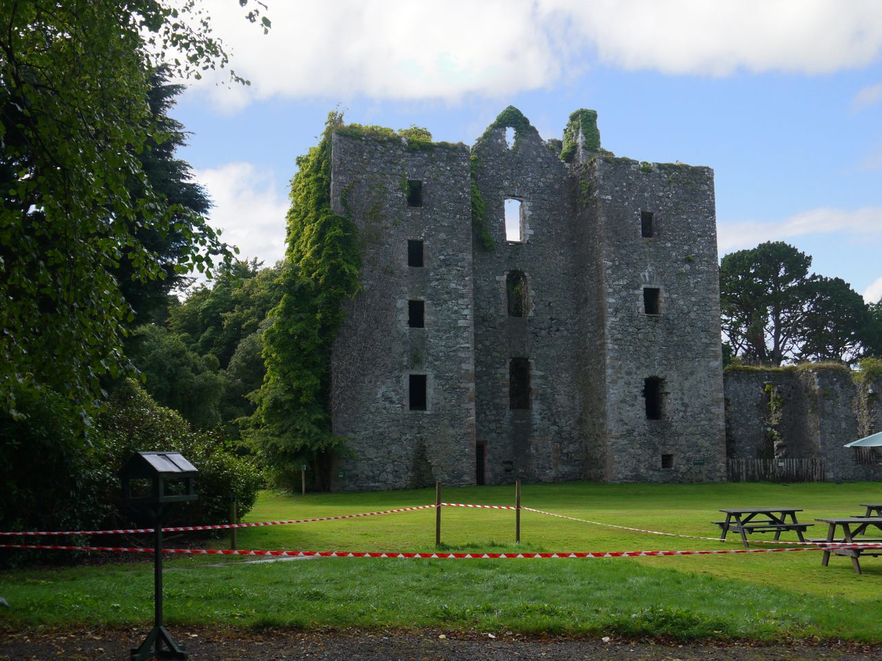
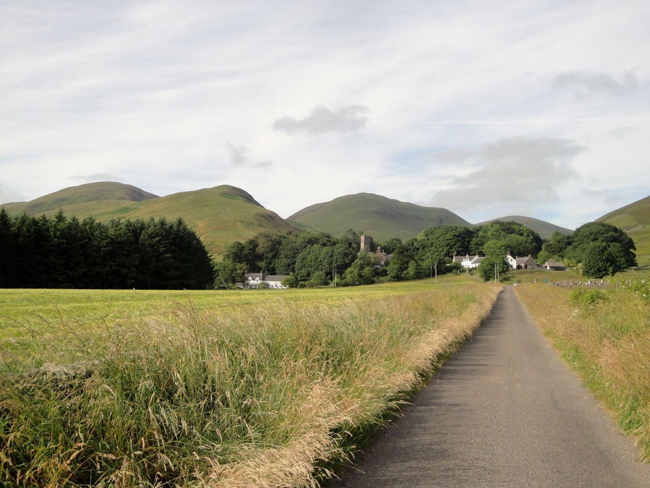
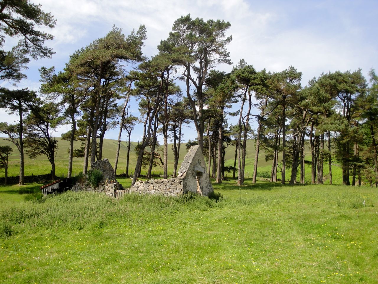
Derry Ruins
We were able to park off the road about a quarter of a mile short of Derry Farm. The road in was single track from the turn off after Knowe but in excellent condition as far as Darloskine Bridge. After the tidy hedgerows and signs warning drivers to Take care: Kids at Darloskine Bridge the road was replaced with a ribbon of potholes.
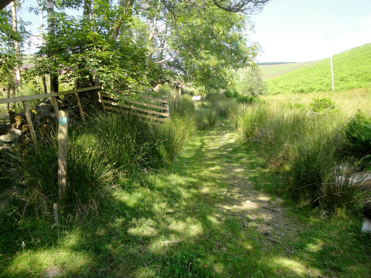
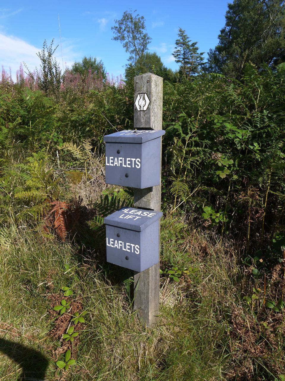 On the OS map the SUW takes a loop beyond Derry Farm but there was a path cutting out the dog-leg. I was wondering if we would be cheating using this short-cut but then noticed the path had a fancy wooden kissing gate and a leaflet box tacked on to an SUW marker post, so it was the correct way.
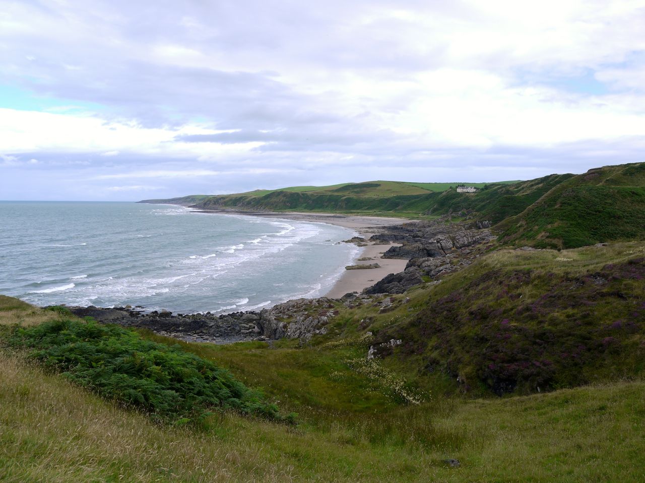
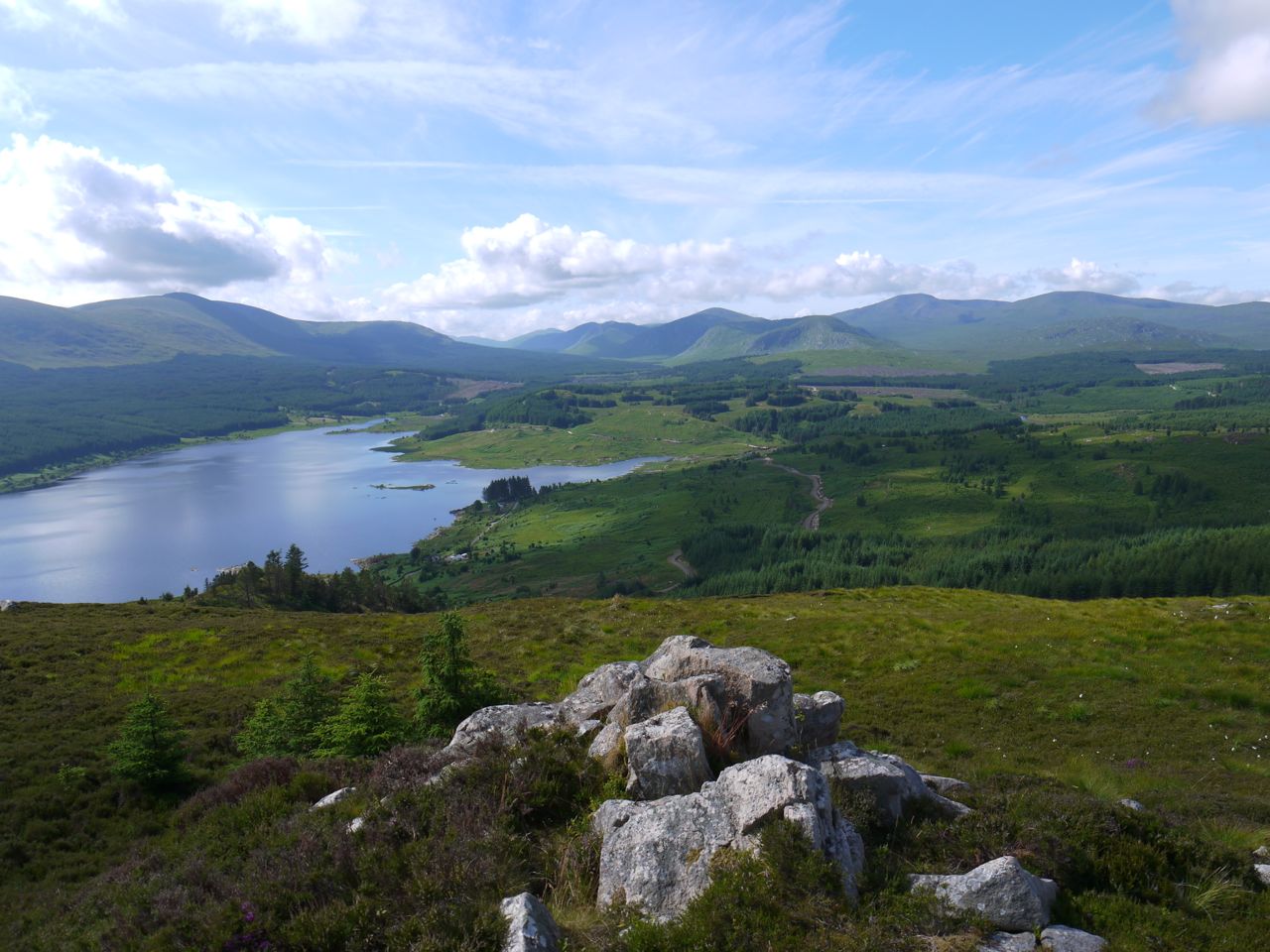
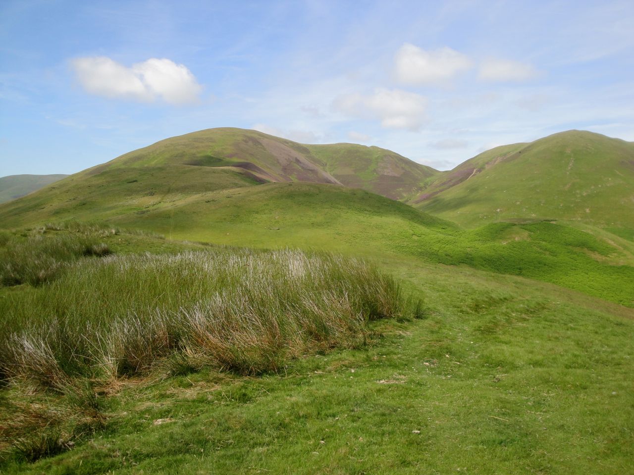
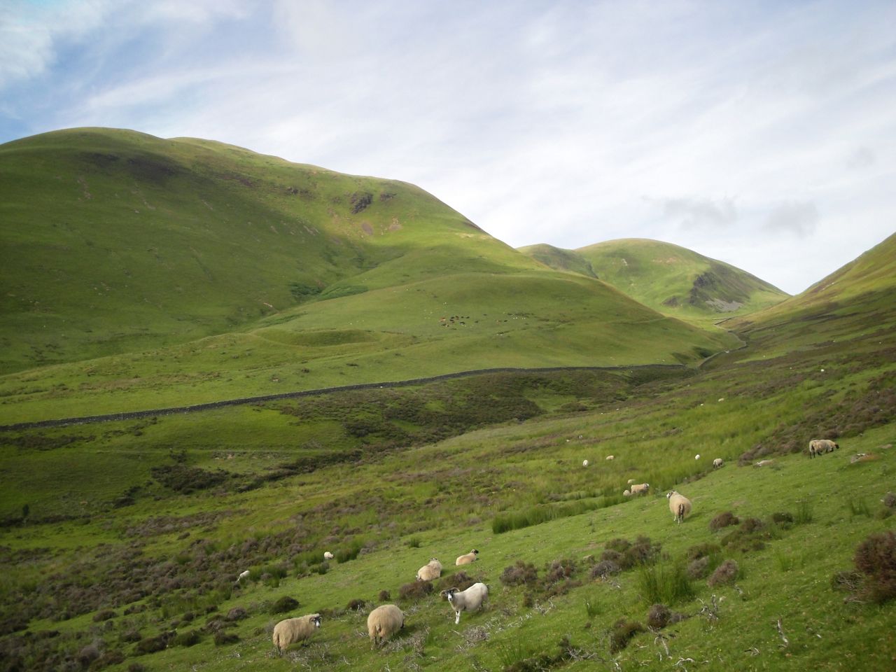
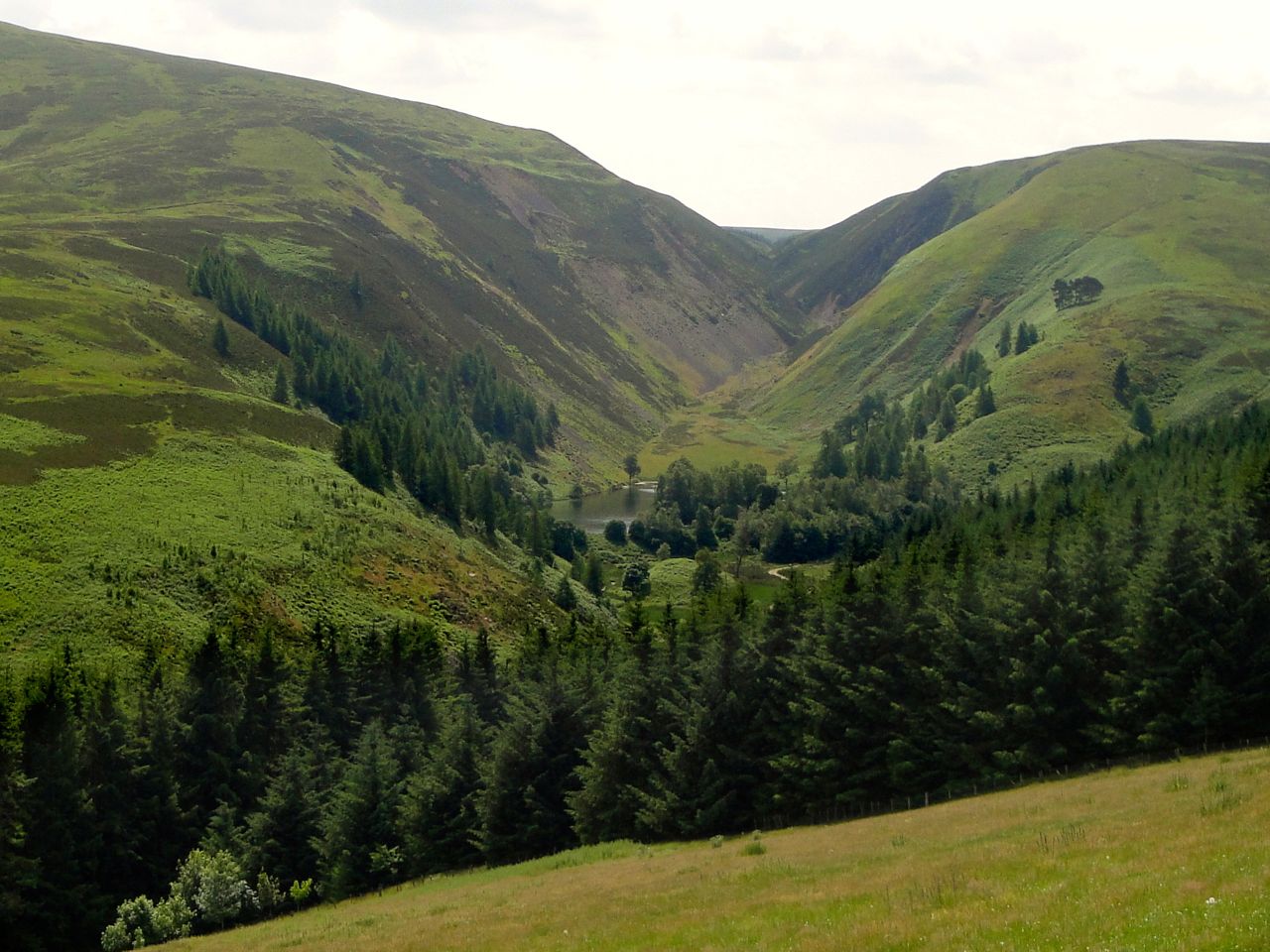
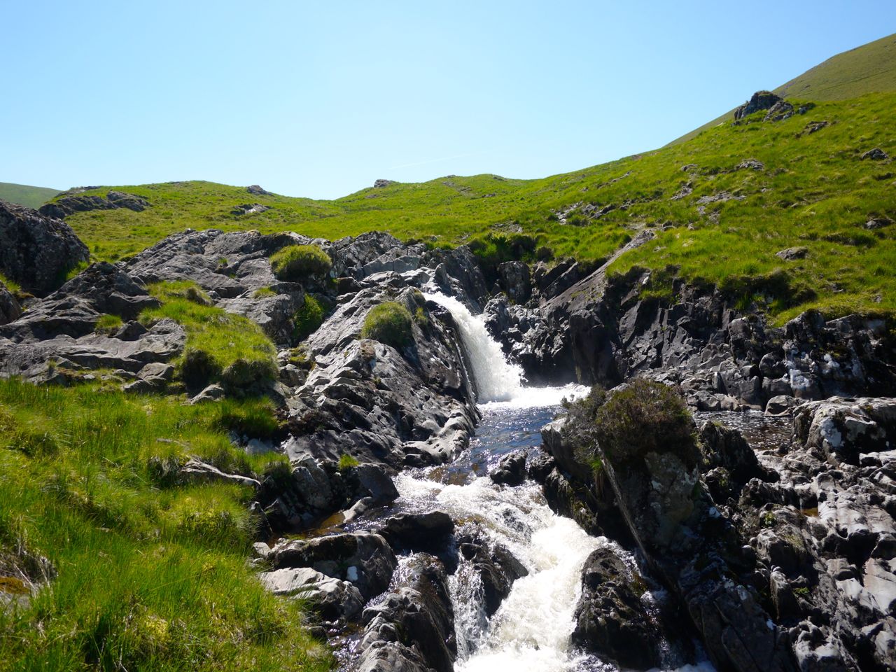
The path soon rejoins the returning loop of what was now a forestry track and heads westwards with Craig Airie Fell in the distance. Loch Derry was on our right with the Galloway hills beyond it, and the rocky outcroppings of Craigmoddie Fell to our left. We passed a sign for Linn’s Tomb and then began a gentle climb.
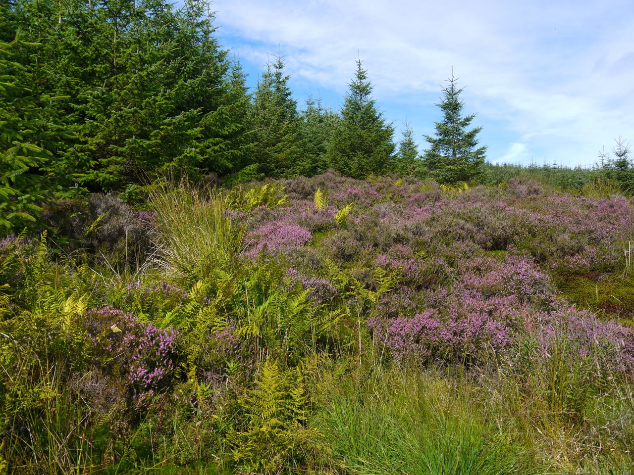
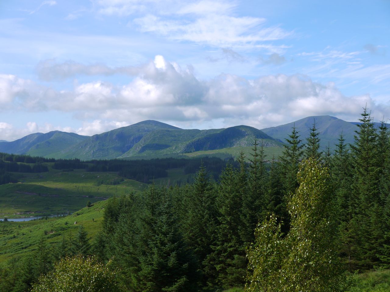
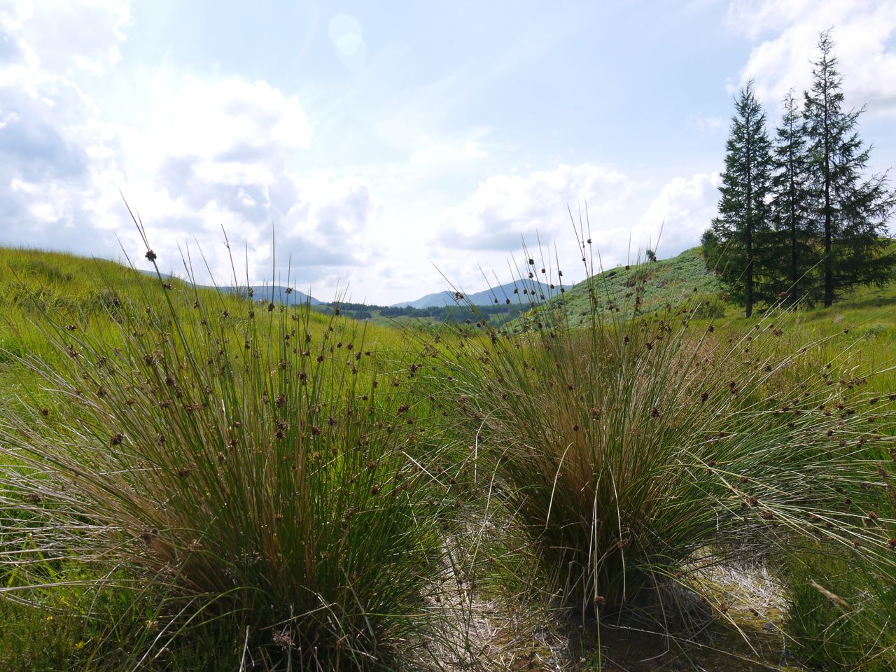
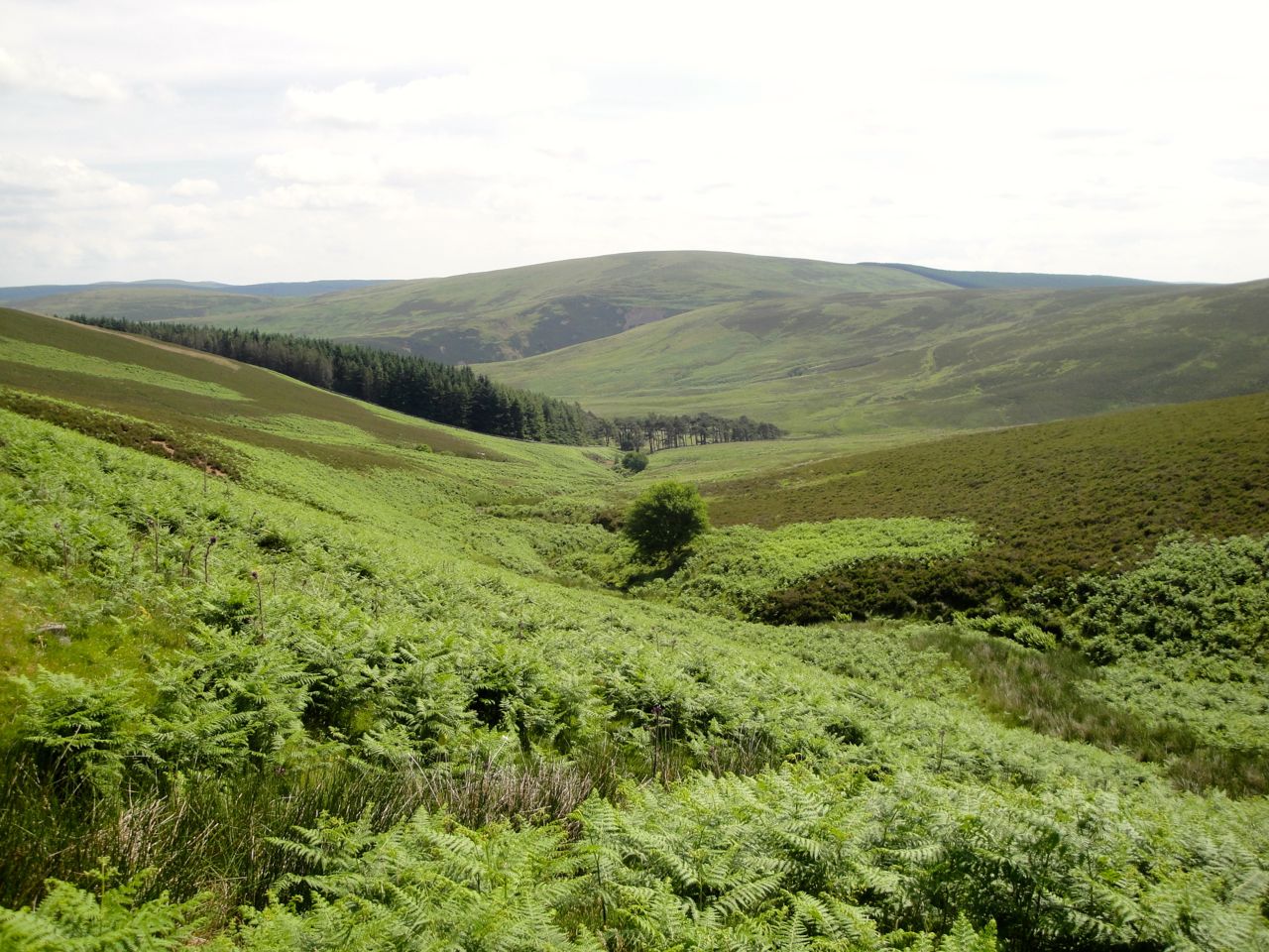
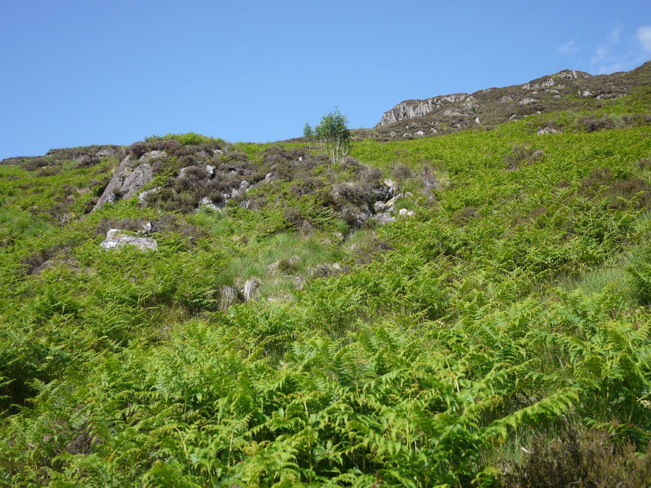
Summer colours, Craig Airie
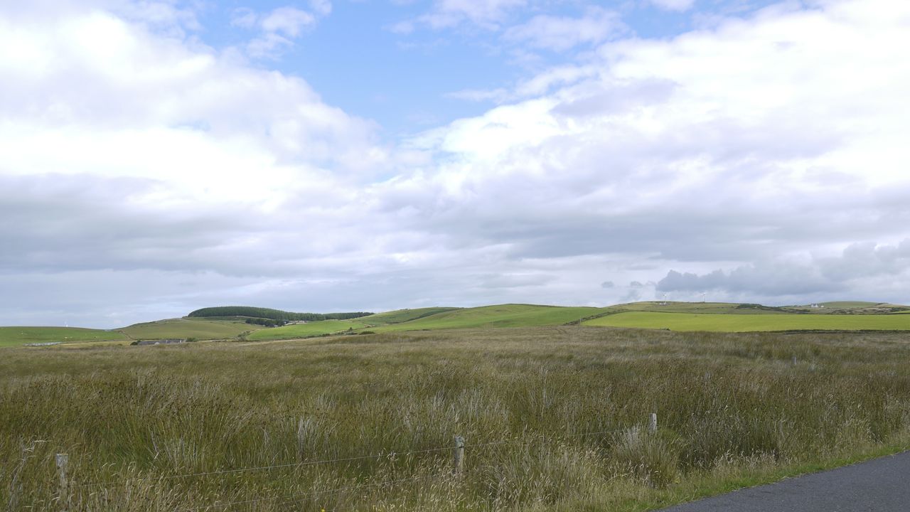
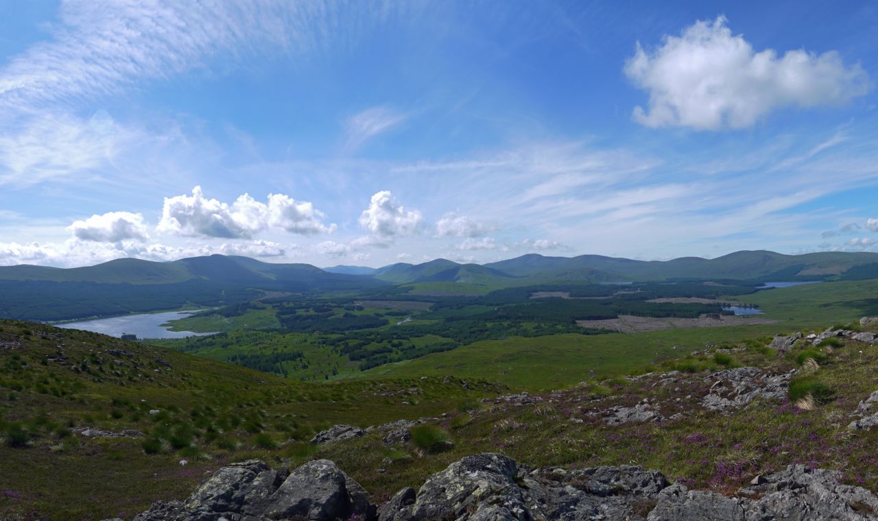
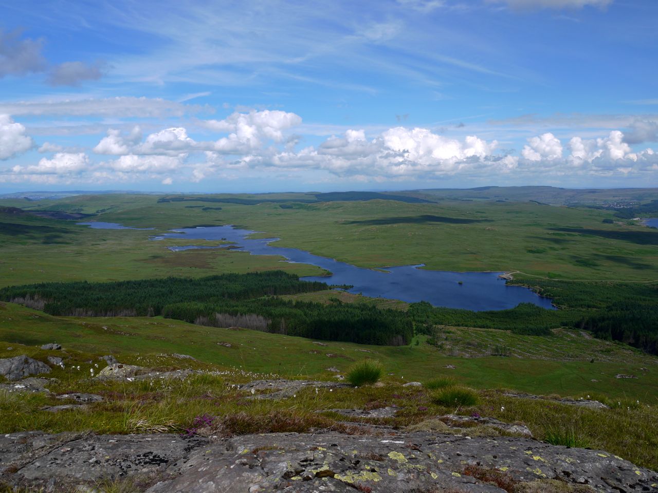
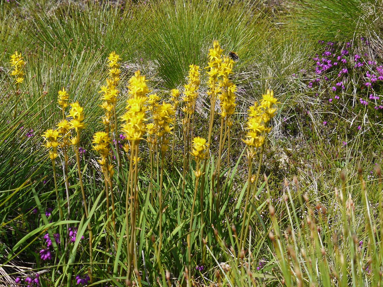
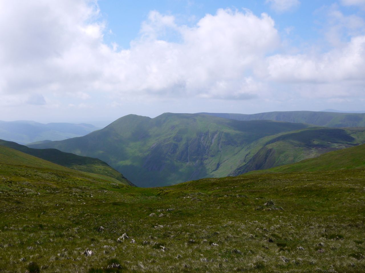
The SUW leaves the forestry track about 800m after the Linn’s Tomb sign. This is a pleasant climb along a woodland track. The plants were showing their summer colours and there were a great many butterflies about. The woodland track crosses the forestry track and then becomes a little steeper. The direction of climb allows some great views back over Loch Derry to the Galloway Hills, stretching north from the Craigenreoch group, south to the sea, Merrick standing proud of its neighbours.
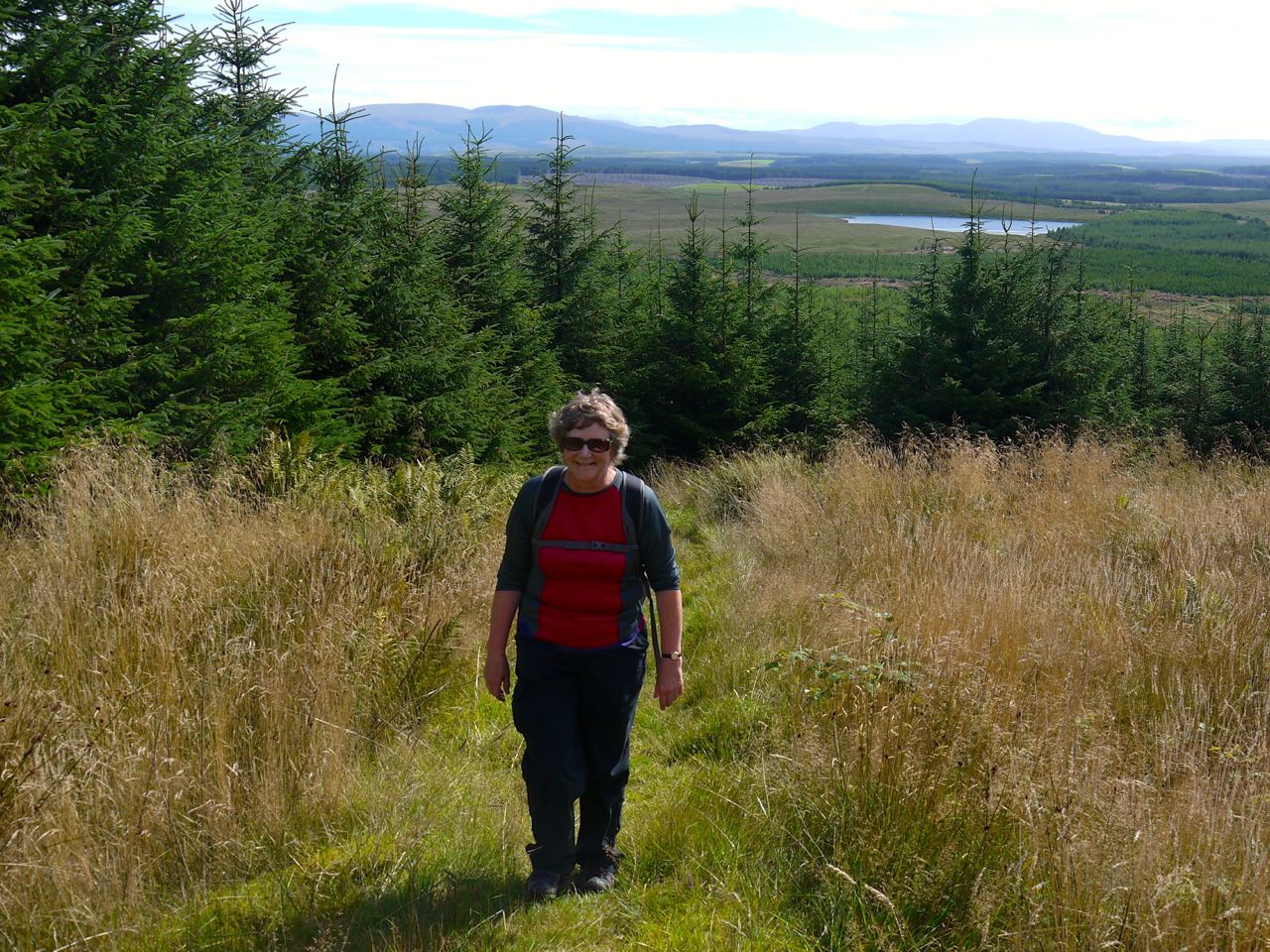
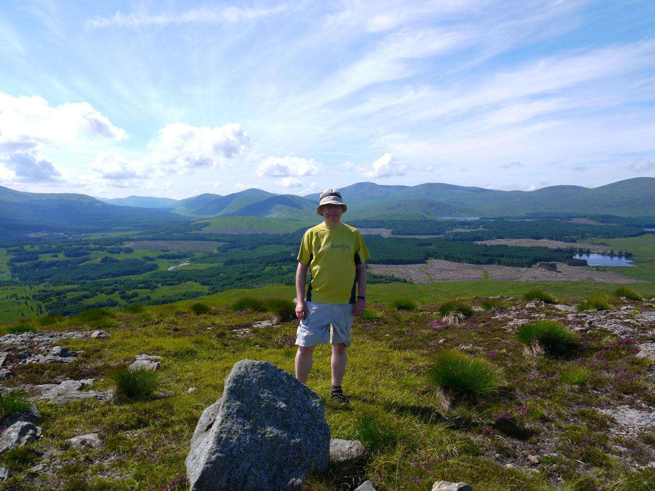
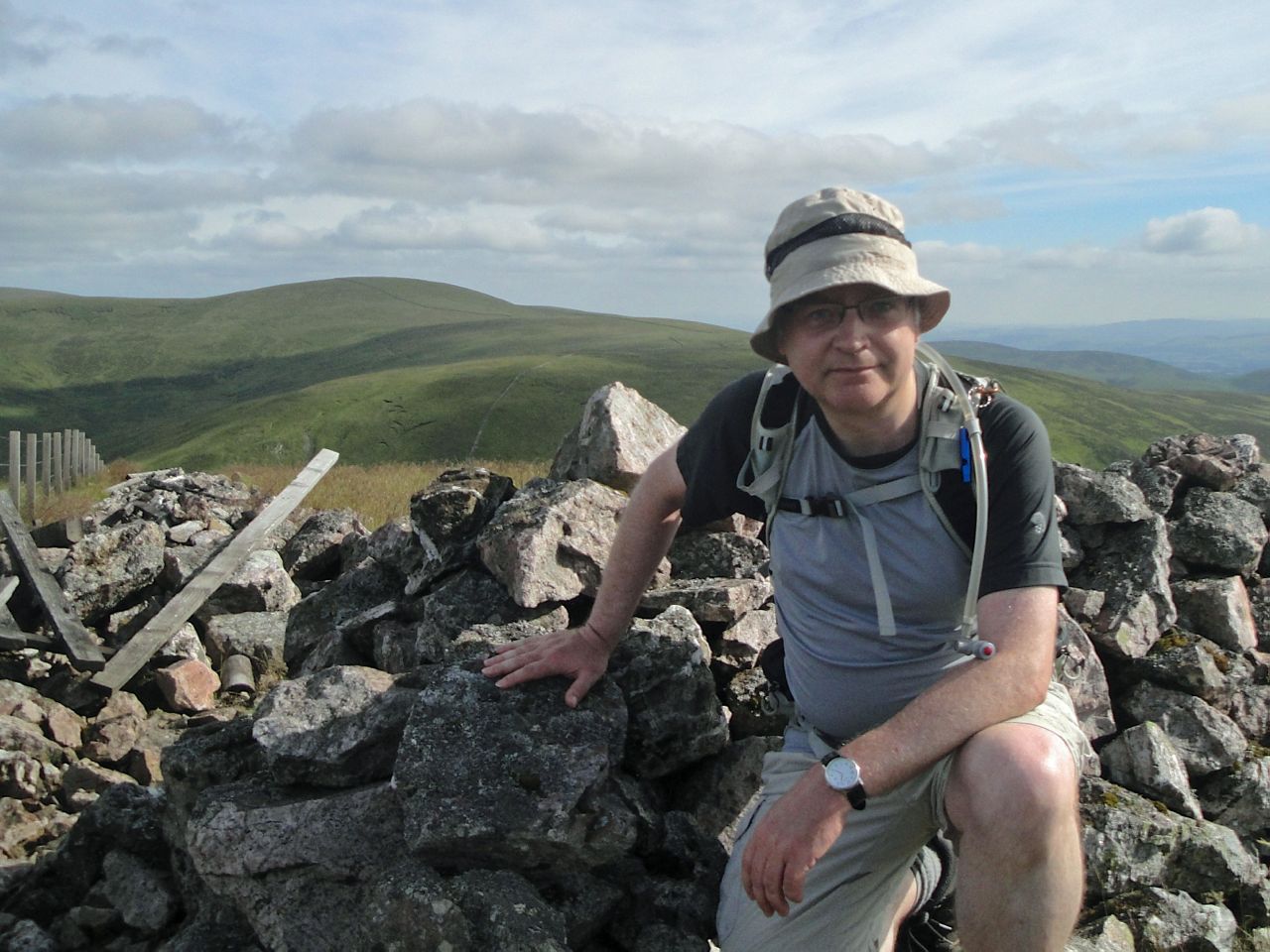
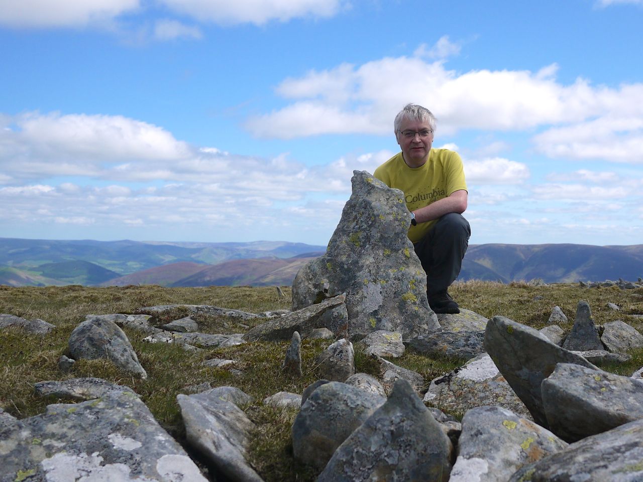
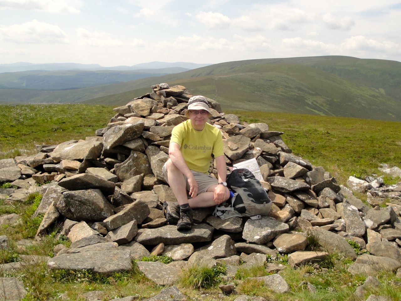
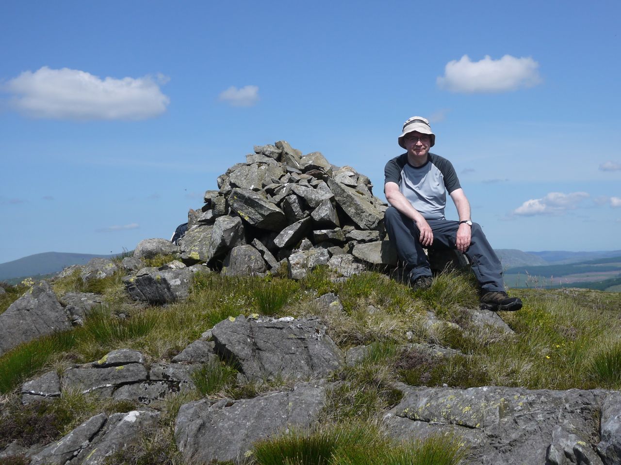
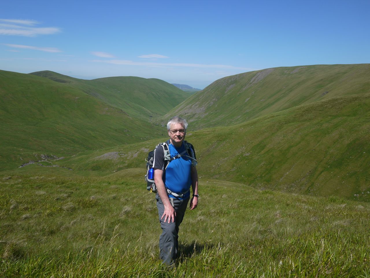
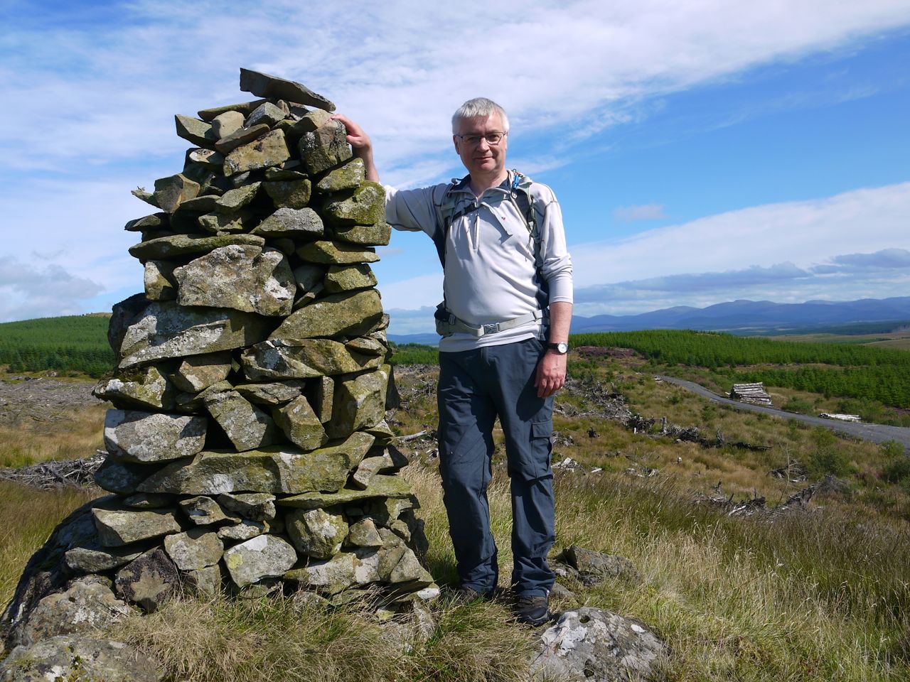
Audrey on Craig Airie Fell
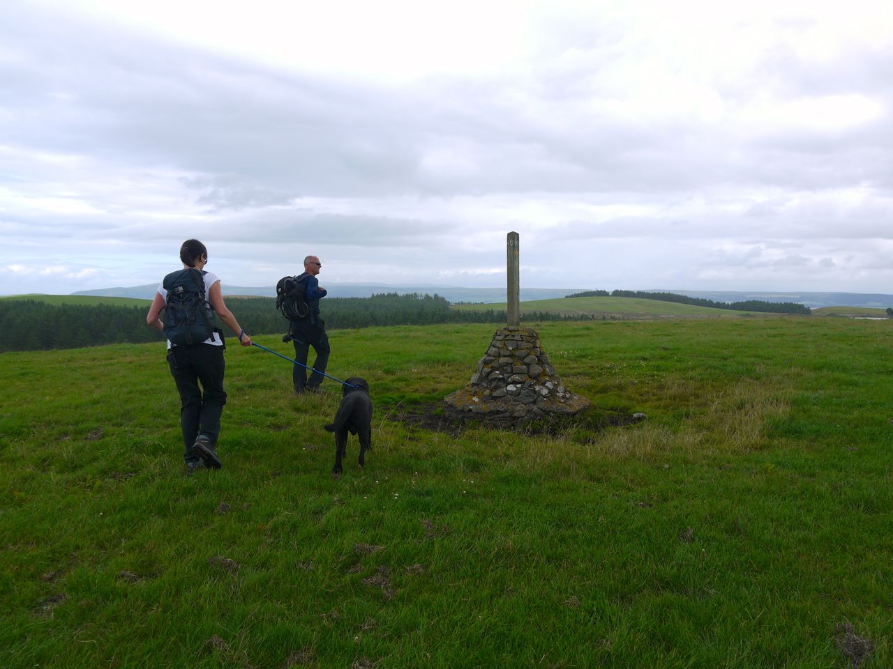
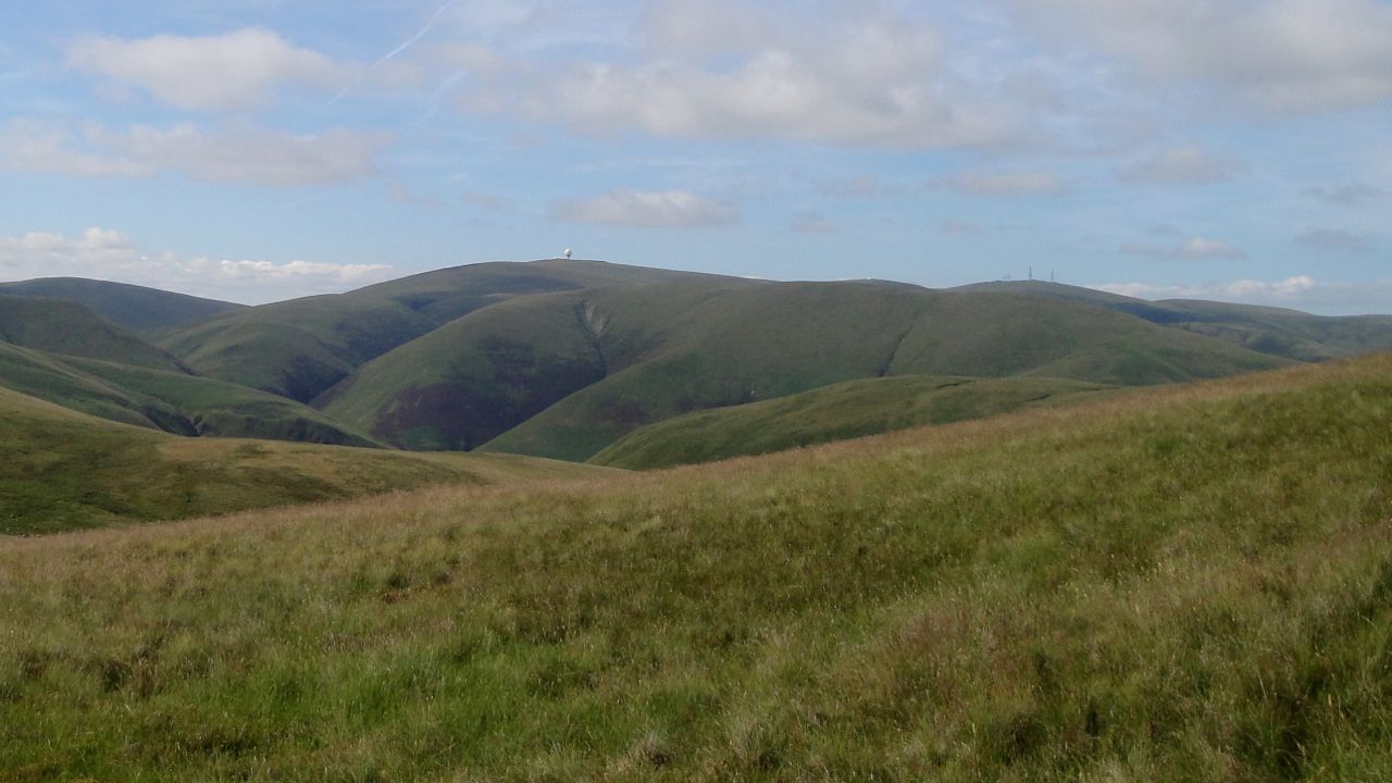
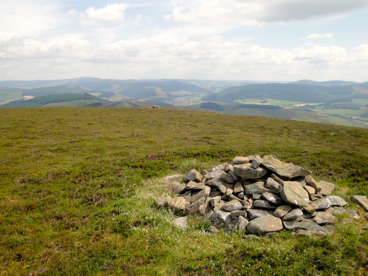
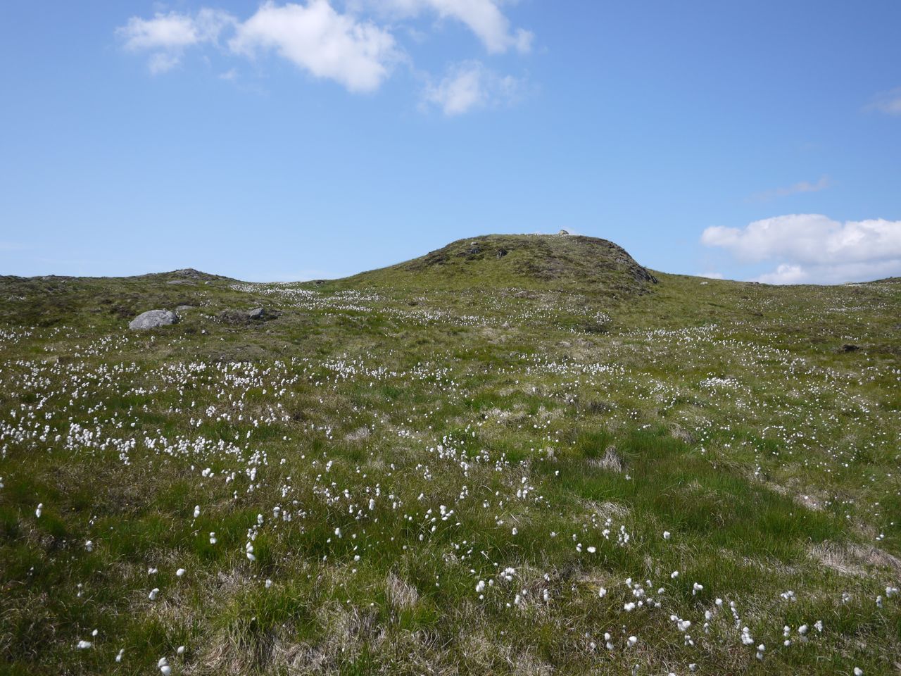
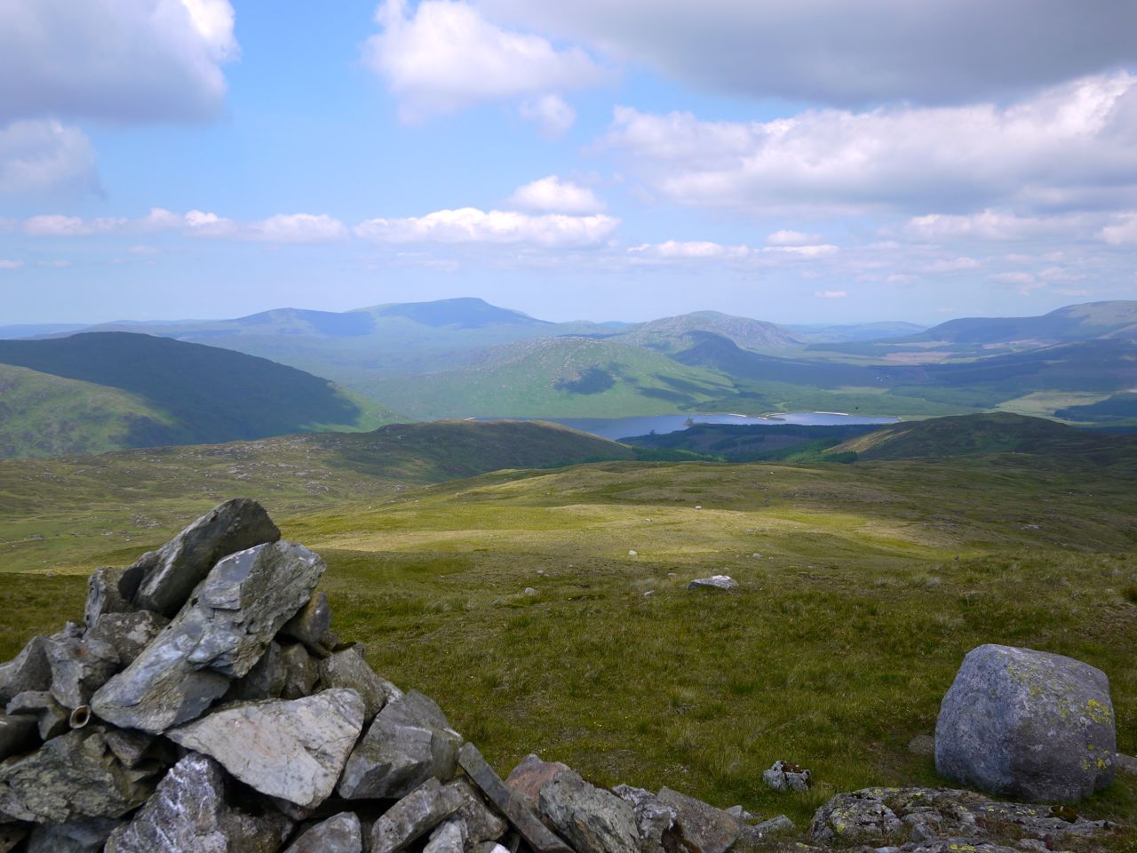
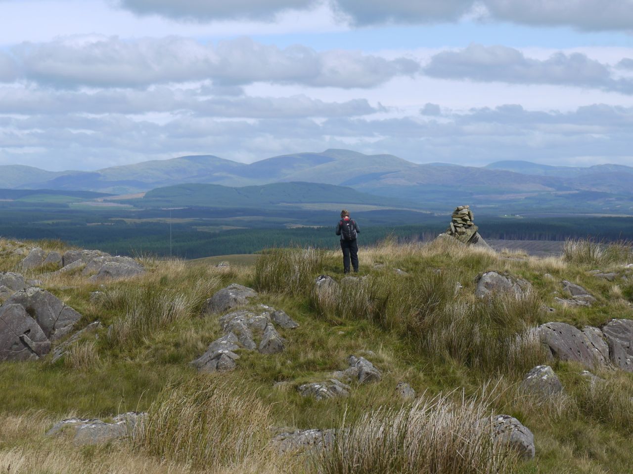
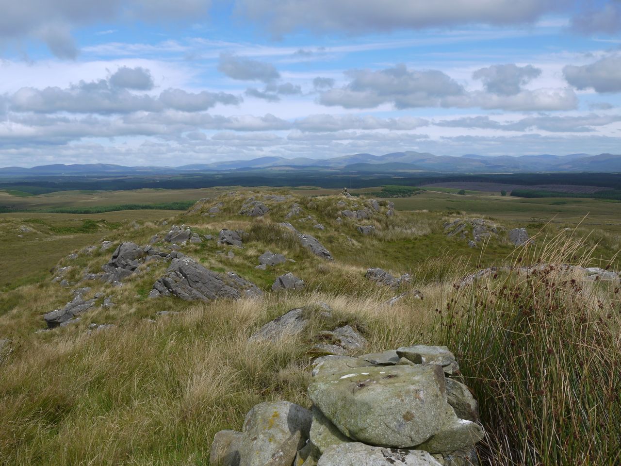
Craig Airie Fell is the highest point in the old county of Wigtonshire, its name derived from airidh, a hill pasture. It has excellent views, mostly over moorland scattered with small lochs and the Galloway Hills as a backdrop. The trig pillar has a low stone shelter about it, and though it does not offer much shelter, it works well for seating, so we stopped for elevenses and to admire the view. From here the fingers of the Awful Hand Range can be clearly seen, but one’s imagination really has to be turned up to 11 to see this as a hand. Sadly the government has approved a 96 turbine wind farm on this hill and the surrounding land, so the views will likely change.
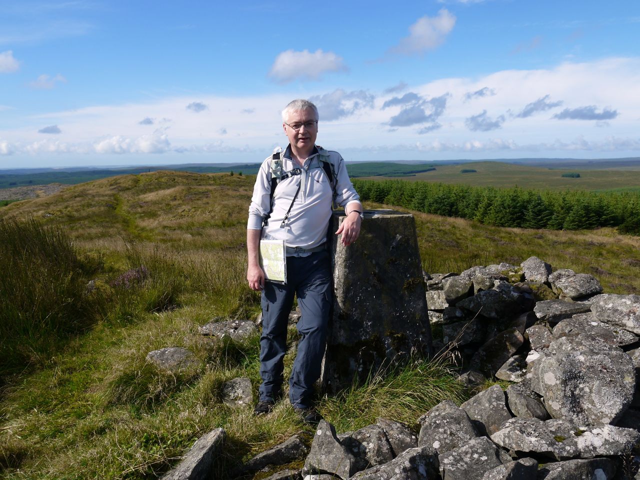
Craig Airie Fell summit
Craig Airie Fell
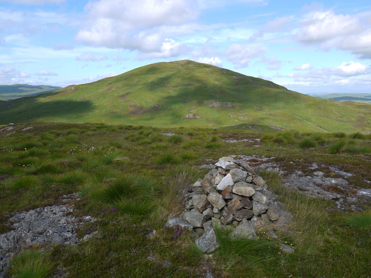
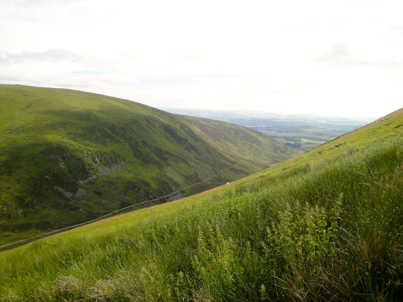
The SUW continues along Craig Airie Fell then drops down towards the forestry track, though the two don’t meet. The path became quite boggy in places here and we passed from vibrant living woodland into the devastation of felled forest. Occasional dead trunks, bleached by the sun and stripped of their branches, stood amid stumps and rotting branches. A pair of sheep watched us from the destruction, looking like unlikely survivors of a Tunguska event.
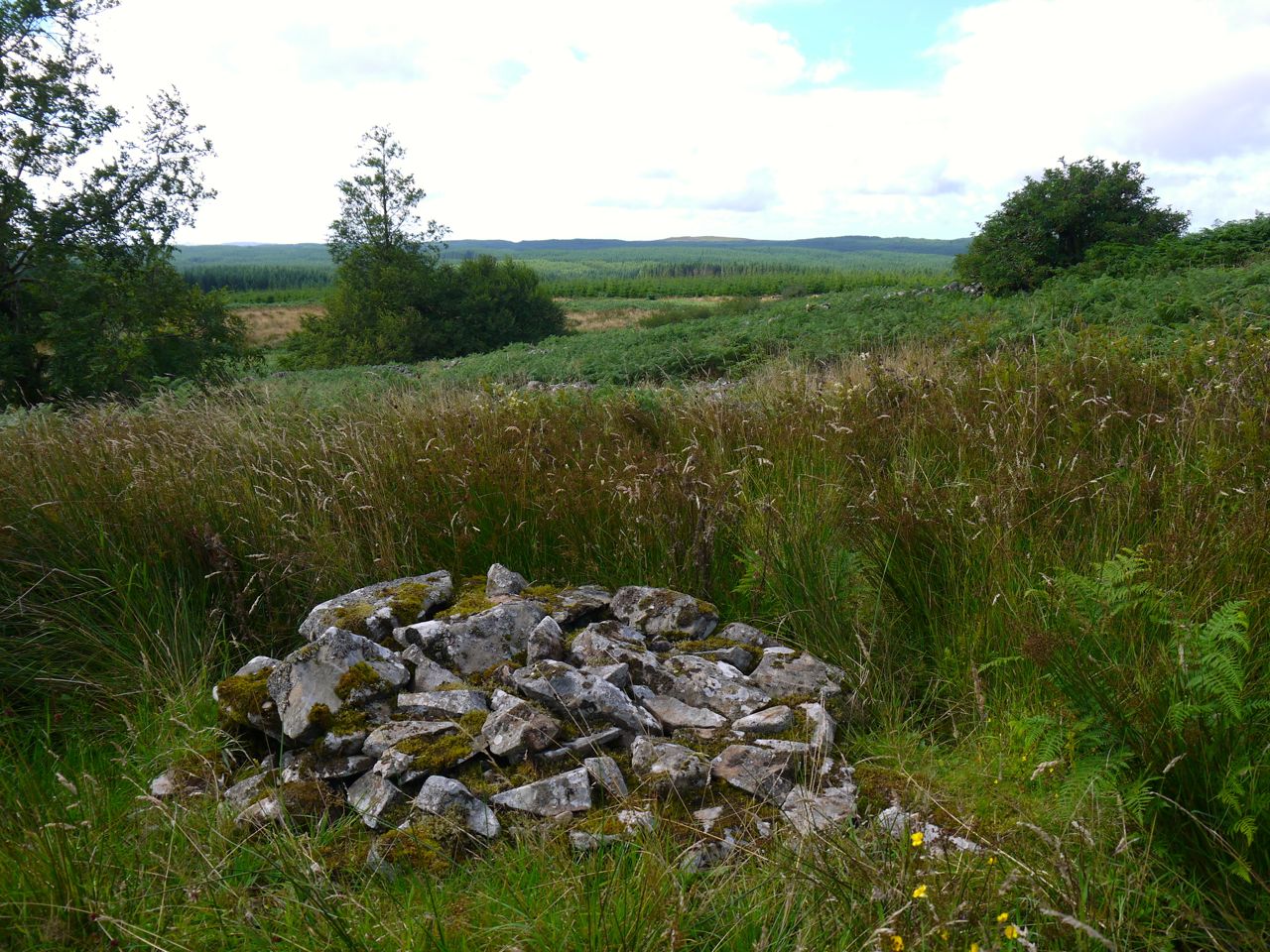
Craig-dhu cairn
Ahead of us stood a stone man cairn on a small knoll marked as Craig-dhu on the map. From here it should have been about 200m to the turn off for the Wells o’ the Rees so I counted my paces but need not have done since there was a large sign “Wells o’ the Rees 100yds/ Laggangarn stones 1 mile”.
The sign pointed into a mass of chest-deep bracken with no obvious path. We looked at each other. No discussion was needed. We headed into the bracken, stumbling and pushing through the tangled ferns. I actually had just enough time to think how lucky it was that the bracken wasn’t wet before becoming aware that my trousers were wet.
One of the Wells o’ the Rees
Unfortunately, I was somewhat underwhelmed by the Wells themselves. These looked like small mounds of stones. The one hidden most deeply in the bracken seemed to have more structure to it with a small opening downhill, and I wonder if the others were once like that but have since collapsed.
My plan had been to head across to Craigmoddie Fell, but fighting through 500m of undergrowth like this didn’t seem a good idea. An alternative was to re-trace our steps to Craig-dhu then through a forest break to the slopes of Craigmoddie. So we headed back up through the bracken and along to the cairn. From there we picked our way through a short section of felled forest and onto the forestry track, using the tracks of some giant vehicle as our path.
The forest had been replanted and when we looked down the only break in the trees it did not look inviting. Looking over the obviously marshy land I knew it was the sort of section I would think of as a challenge beforehand and a mistake afterwards, so we stuck with the forestry track until we were back to the SUW and walking in the sun allowed our trousers to dry.
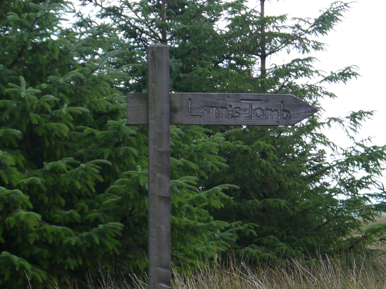 After a pause for lunch amongst the buzzing of insects we followed the path back the the sign for Linn’s Tomb. A rotting gate stands near the sign. To open it or climb it? It looked likely to disintegrate if subjected to either but proved hardier than it looked. It survived our passage, both outward and return. It must open at times because there are vehicle tracks heading up the hill, which we followed.
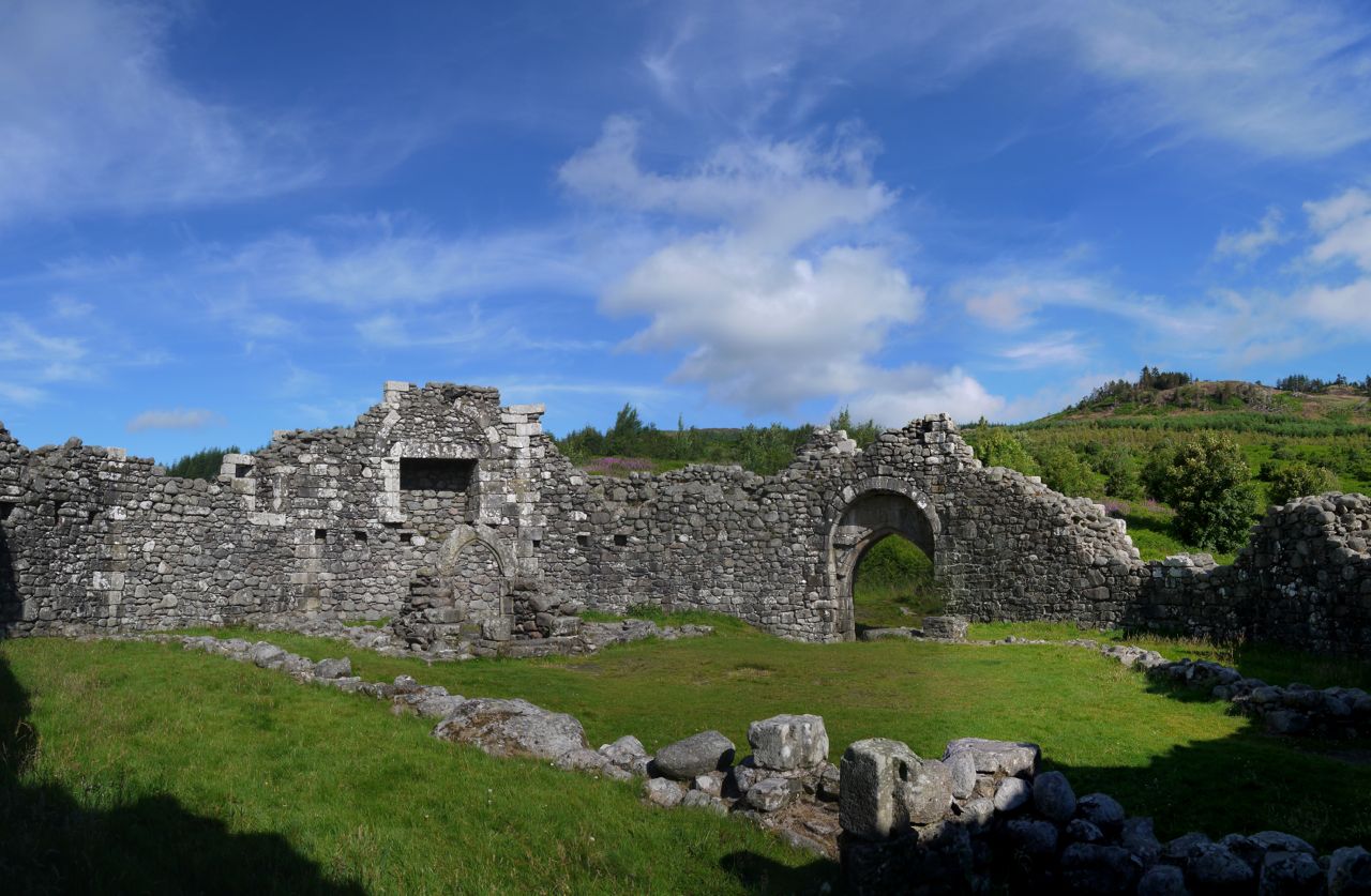
Linn’s Tomb is a structure with chest-high walls sitting in a shallow hollow. When I first looked down my heart fell as I saw bracken but this time there was an easy way through. The tomb has steps built in the wall which allow easy access to the interior where there are three inscribed stones.
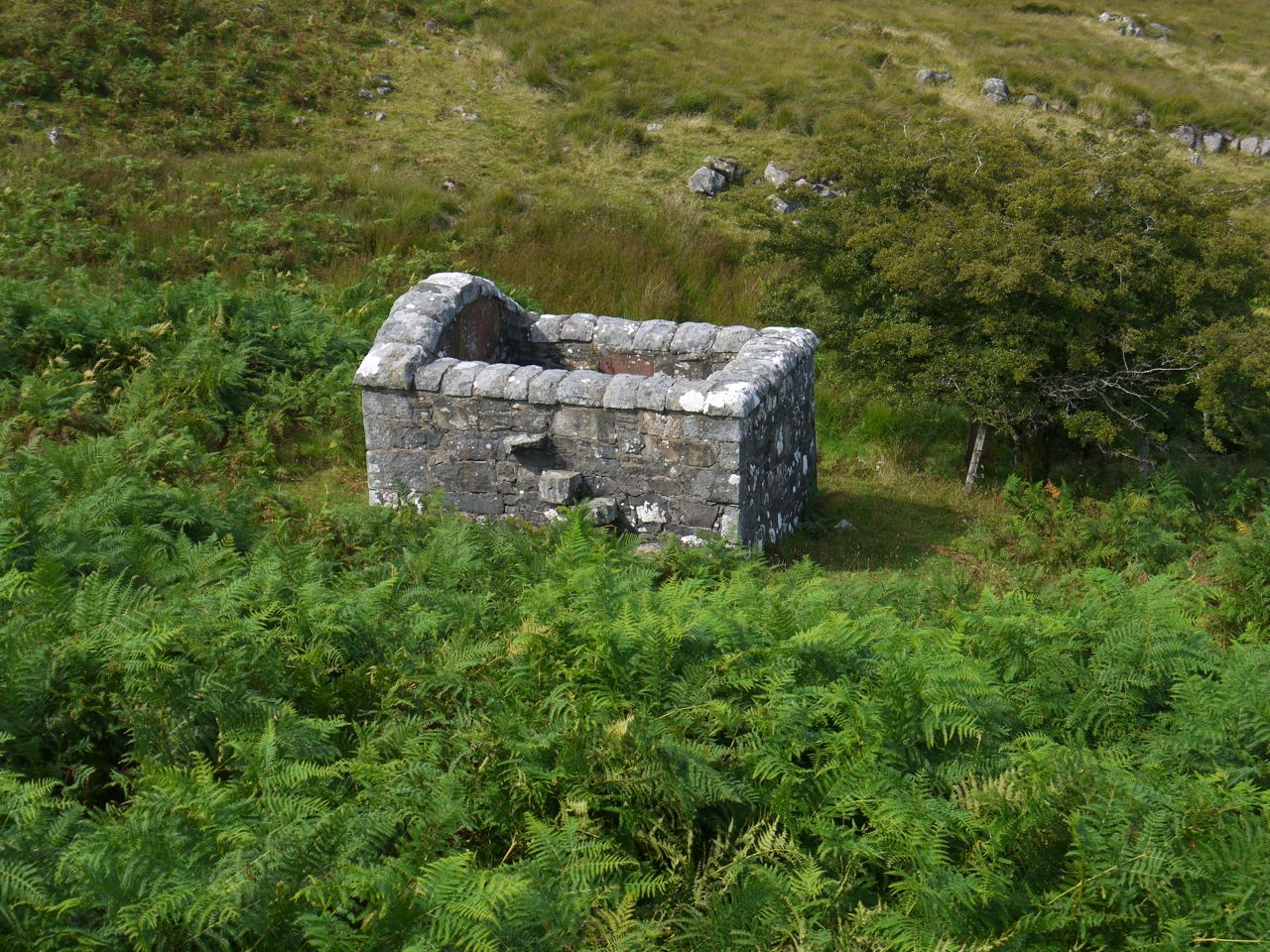
Linn’s Tomb, Craigmoddie
The main inscription reads:
Memento Mori
Here lies the body of Alex Linn
who was surprised and instantly shot to death
on this place by Lieut General Drumand for his
adherence to Scotland’s reformation covenants national
and solemn league 1685
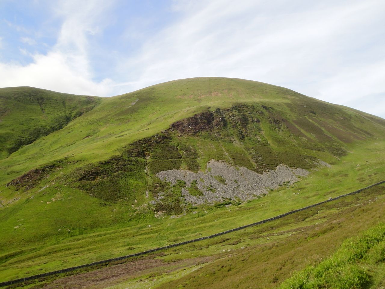
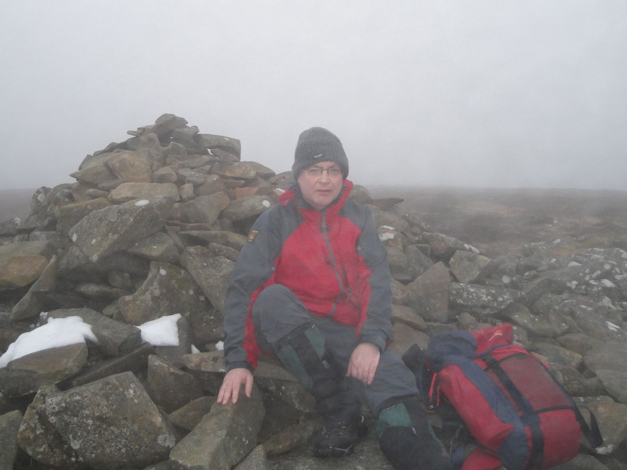
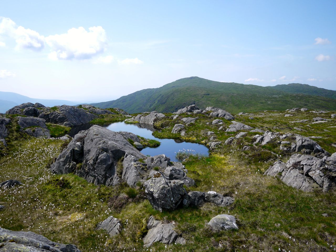
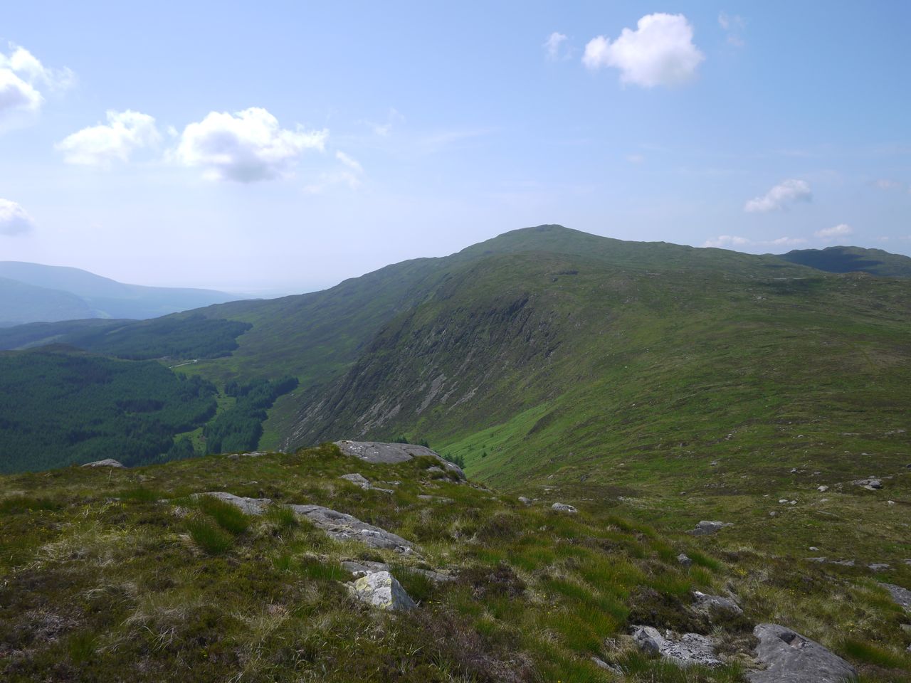
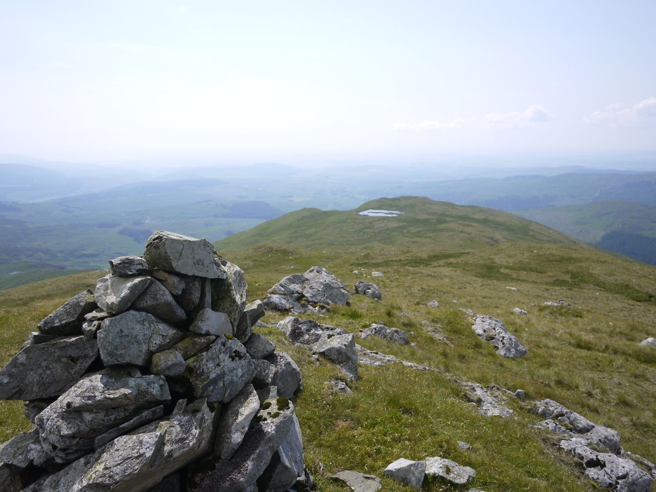
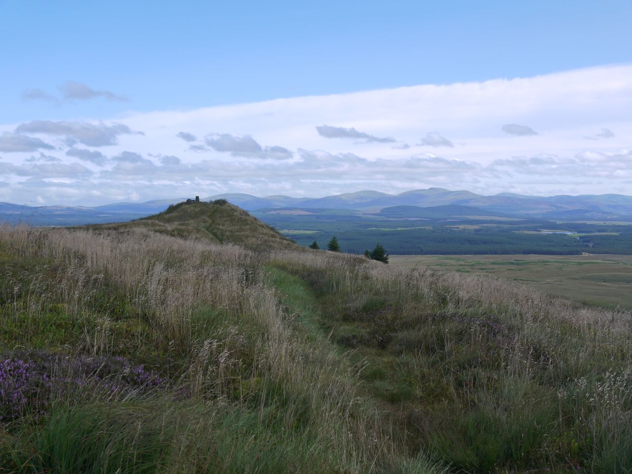
It was only a short walk from the tomb up to the top of Craigmoddie Fell and I am glad I decided to visit the top because there were good views. There is a small cairn at the summit and a larger cairn at the high ground to the NE looking out to Merrick. A radio mast in the photos had me convinced there was a scratch on my laptop screen for a while.
Craigmoddie
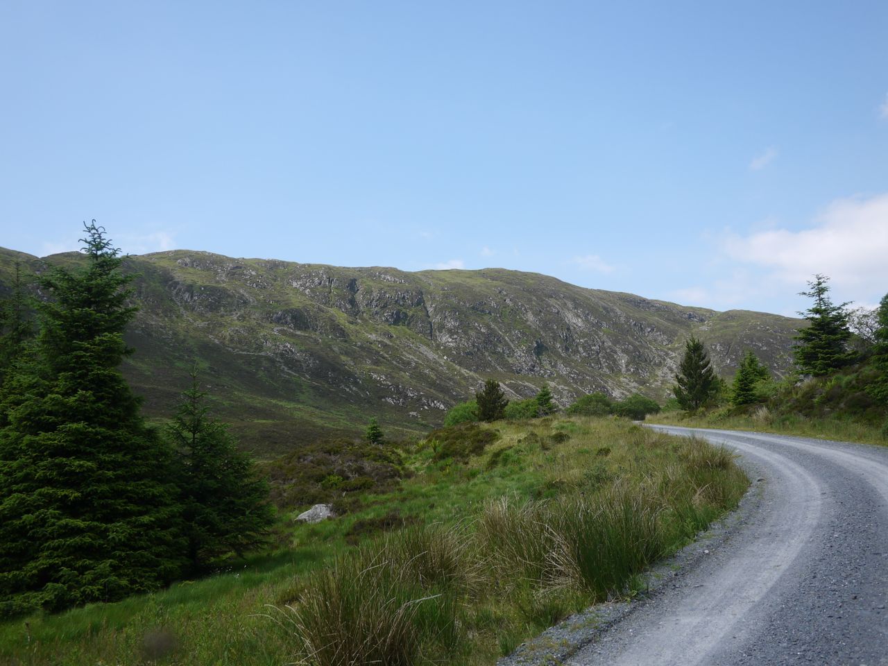
Overall a good walk without any particularly difficult sections. The weather was good and we were treated to plenty of colour and an array of butterflies including large whites, peacocks, large heath and small tortoiseshell. And Tannylaggie Bridge has been identified as a parking spot for the SUW walks.
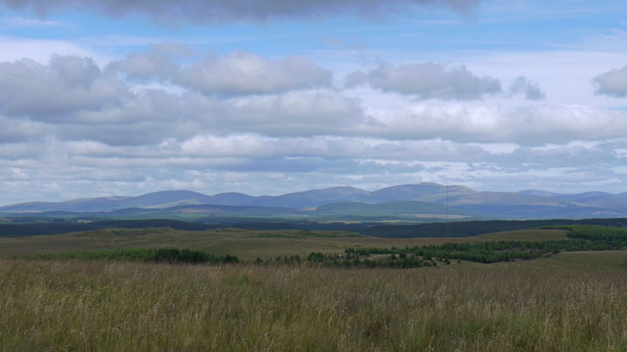
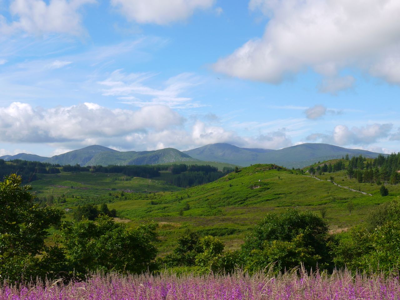
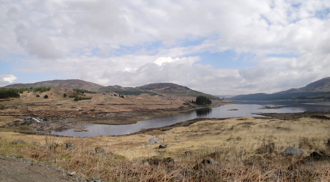
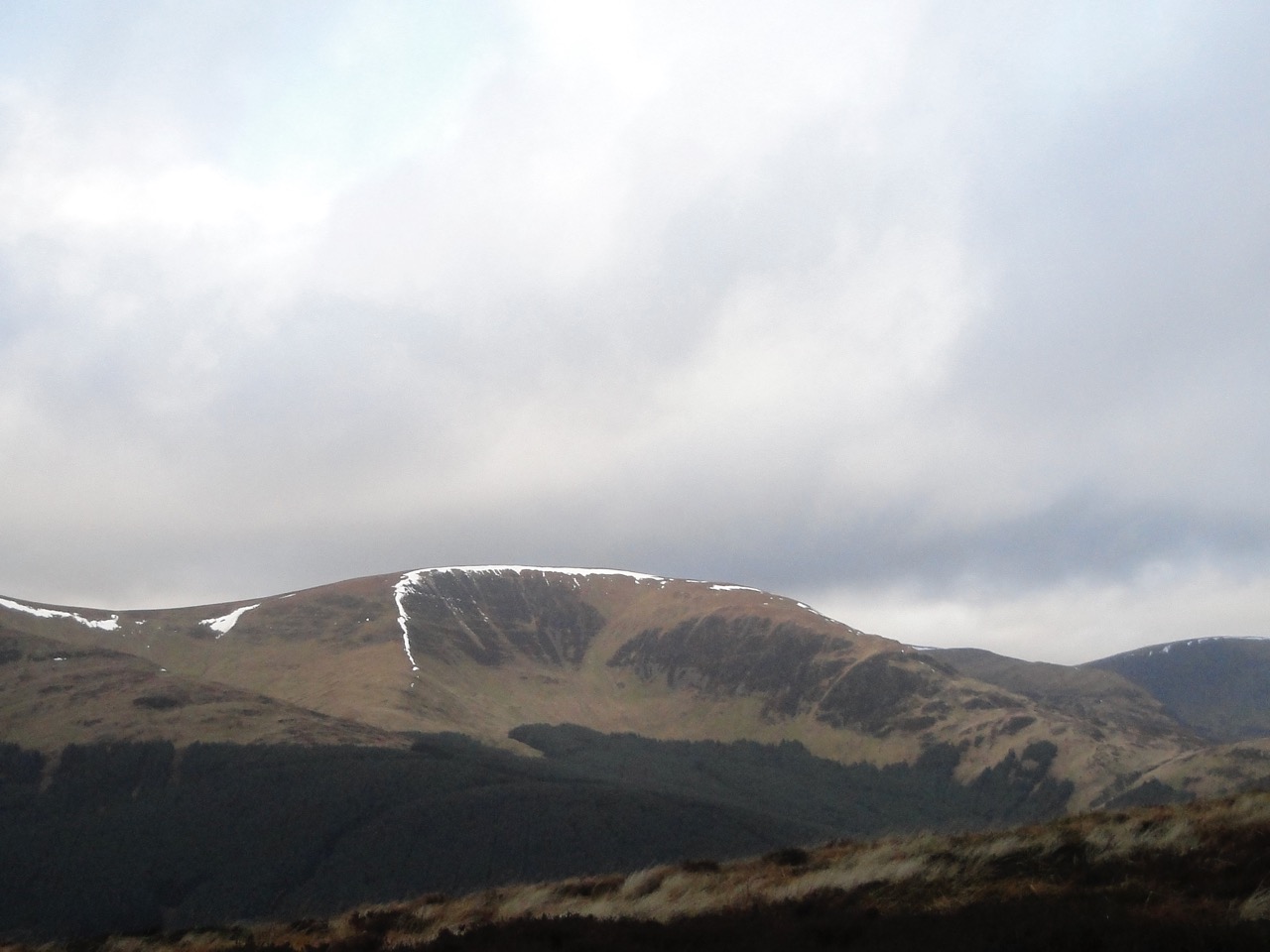
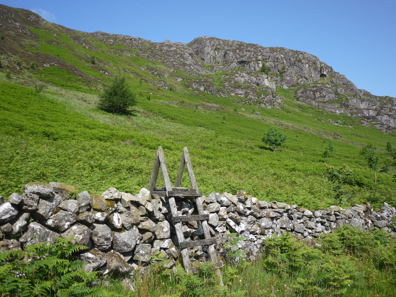
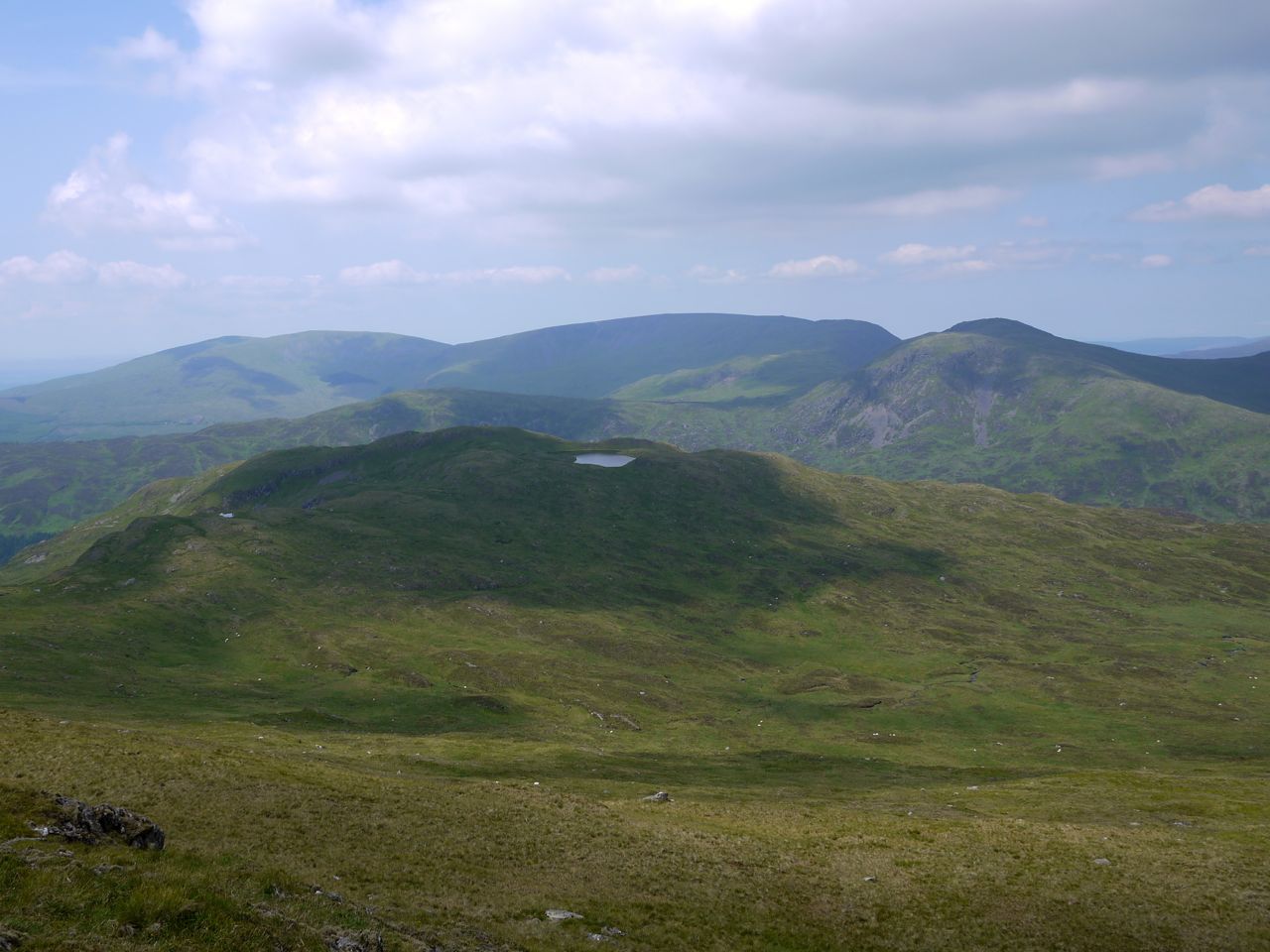
Awful Hand Range
With: Audrey
[osmap gpx=”http://www.screel.co.uk/walks/wp-content/uploads/2013/08/RK_gpx-_2013-08-24_1003.gpx”]