7.4 miles 3h 45m 690m ascent
This started as a clear, blue skied slightly frosty day. It seemed ideal for walking. The field with cows that two months earlier had been a quagmire of mud and excrement was now frozen. Unfortunately the paths were also frozen further up. Indeed it looked as though they had flooded and then frozen. Once off the paths and on open fields the going was easier. I had left the path just past a gate, and headed up Willieanna to join the dyke. There is quite a drop between Willieanna and Dunool and the descent is much steeper than the OS contours would have you believe. It would probably be easier to continue along the path to the west of Willieanna and head directly up Dunool.
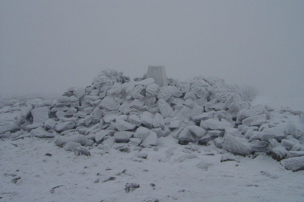
The ridge across to Cairnsmore was covered in light snow and visibility slightly poor but not dangerously so. The drystone dyke ends at Black Shoulder and compass was required to find the right direction. There were some footprints in the snow, but heading in the opposite direction. Eventually the large cairn at the summit of Cairnsmore of Carsphairn loomed out of the mist.
There is another dyke to guide the descent. The photo above is the view as I came out of the cloud; Dunool is on the left. There is a small burn to cross at the bottom then it’s only a few metres to the path. Unfortunately the path was very icy and there were three areas where it had flooded then frozen, but with thin ice overlying the icy water. I had to climb around these.
Fording the Benloch Burn on the way up, and down, proved tricky because the stepping stones were slippy with ice. After this walk I was in no doubt that my boots were no longer waterproof.


