A little history
Percy Donald, wrote “The two-thousand feet tops of the Scottish lowland uplands” for the journal of the Scottish Mountaineering Club in 1935, listing 133 tops and 15 humps in southern Scotland. He had decided to visit all the “Lowland two thousand footers”. He didn’t define the “Scottish lowland uplands” but mentioned the area stretched from the Ochils to the Galloway Hills and the Cheviots. It has been presumed that he used the highland fault as his boundary. The two thousand footers he classified into Hills, Tops and Humps:
“Tops are all elevations with a drop of 100 feet on all sides and elevations of sufficient topographical merit with a drop of between 100 feet and 50 feet on all sides.”
“Grouping of Tops into Hills, except where inapplicable on topographical grounds, is on the basis that Tops are no more than 17 units from the main top of the Hill to which they belong; where a unit is either one twelfth of a mile measured along the connecting ridge or 50-foot contour between the lower top and its connecting col.”
“..humps, i.e. points enclosed by a single 2,000 feet contour but not meriting inclusion as tops”
Percy Donald’s original list has been adjusted over the years. The Glen Artney Hills have been added, some originals discarded, and some re-classified, bringing the list up to 89 hills and 51 tops. A modern attempt to rationalise the Donald hills has created “New Donalds”, which are defined as hills in Central or Southern Scotland at least 610 metres high with a drop of at least 30 metres all round. There are 118 New Donalds, all of which are either Donalds or Donald tops. I’m not a New Donald person but in walking the Donalds I’ve taken in all the New Donalds as well.
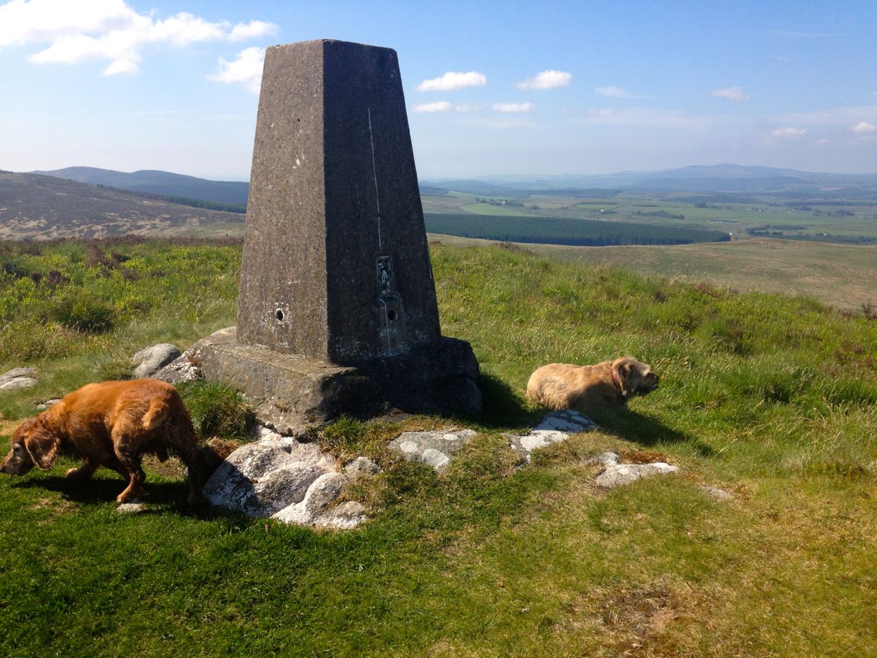
The highest Donald is Merrick at 843m, the lowest Dugland at 608m (which being only 1995 feet has been removed from the list). The lowest on the modern list is Keoch Rig at 611m.
In the SMC journal of 1935 Percy Donald records climbing his 87 hills and 46 tops over 167 days, with 27 days spent in the hills. His first ascent was Tinto on 12 December 1932, the last, Blackcraig Hill, above Afton, on 28 May 1933. He had definitely climbed some of them before but presumably he aimed to walk them all in as short a time as possible.
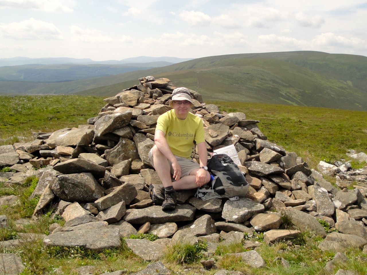
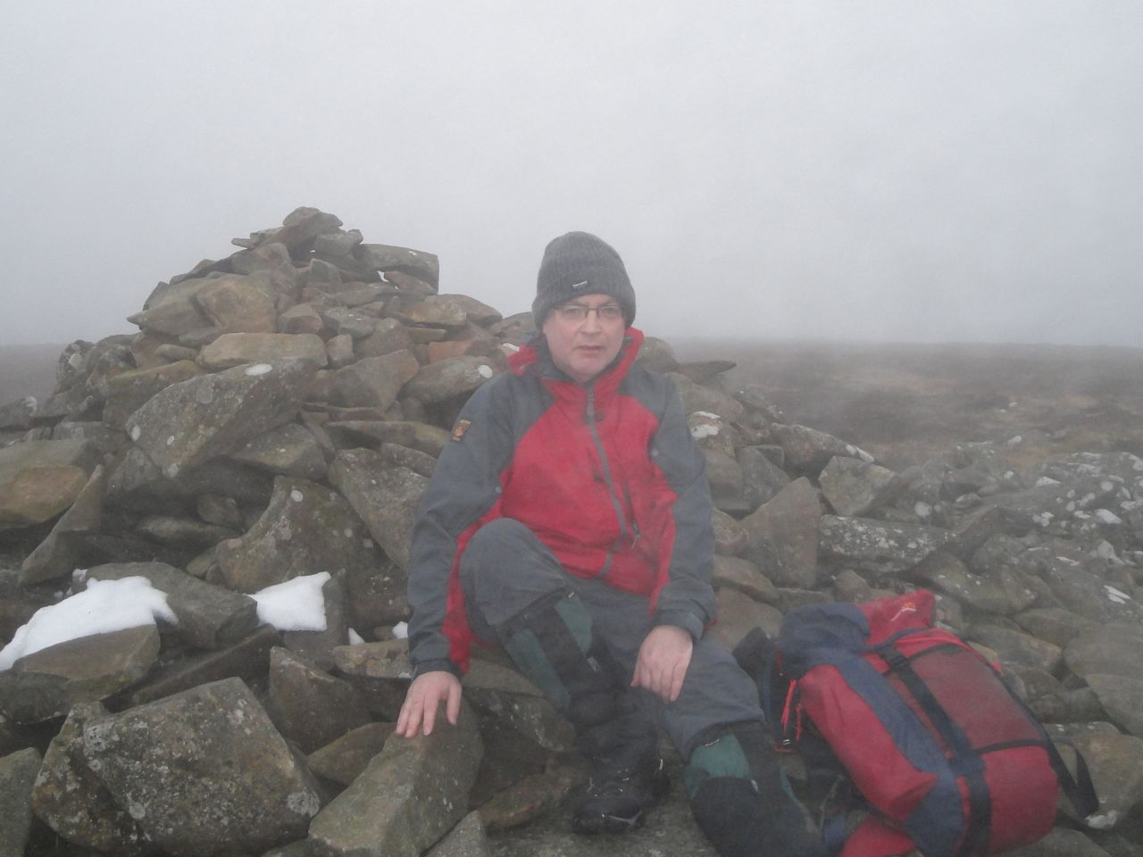
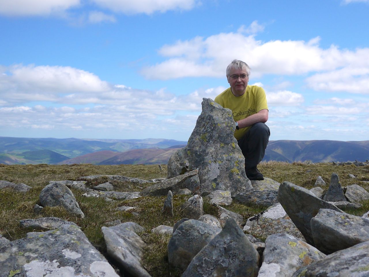
My first Donald was Merrick in 1995 or 1996, but I decided to start the project with the first Donald for which I had a definite date, which meant reclimbing those without definite dates. So, like Percy Donald, Tinto counts as my first ascent, on the 20th October 2009. My final hill was Windy Gyle on 5th May 2013; my last top, Great Hill on 6th July 2013; and the final hump, Birks Hill was visited on 13th July 2013. 1363 days from start to finish with 59 walking days.
Donald calculated his total mileage at 396, his ascent as 89,300 feet (27,219m) and the average cost as 2s 9d per hill, 1s 10d per top. My 59 days included 533 miles of walking and 40,926 metres of ascent. It has cost me £14.84 per hill, £9.43 per top, which corrected for inflation for 1932 would be 5s 3d and 3s 4d (using the retail price index) or 1s 10d and 1s 2d (by average earnings). I’m on my third pair of boots but haven’t included them, other equipment or food in the cost, but I have included the one night in a B&B. Many of Donald’s walks were linear, whereas only one of mine was.
Here’s how I came to do it.
After coming to D&G, the first hill I climbed was Criffel, the one I could see from work. Merrick was an outing from work. Next I visited others I saw when driving around, Queensberry and Cairnsmore of Fleet. Then came the guidebook stage: “25 walks in D&G”, “40 walks in southern Scotland” and eventually the SMC Southern Uplands book which was really my first tick list.
With the coming of internet tick lists I began recording the hills I had climbed, the first hill logged being the lowly Lotus Hill on 27th September 2008. I noticed on the list that there were local Corbetts, Grahams, Marilyns and Donalds.
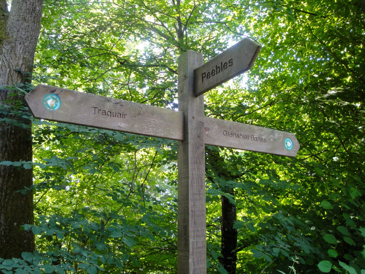
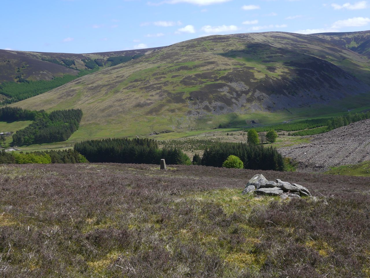
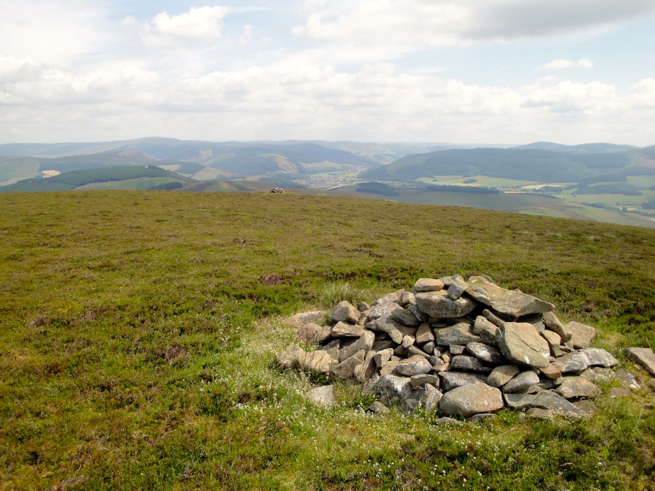
Somehow these outings meant I climbed quite a few of the D&G Donalds and it seemed a good idea to complete the Dumfries and Galloway Donalds. Once the D&G Donalds were done I felt driven to climb the rest. That was it, I was hooked. Around that time I became aware of the Donald tops, so started to include them as well. The humps I only found listed in Donald’s original article later. I had sometimes passed within a mile of a top or hump and in going back to them I had an opportunity to climb some hills a second time, but always managed to use a different route. Because of that gradual discovery of tops and humps after the hills I may not have climbed these hills in the most efficient way, but it was still a pleasure to revisit the hills.
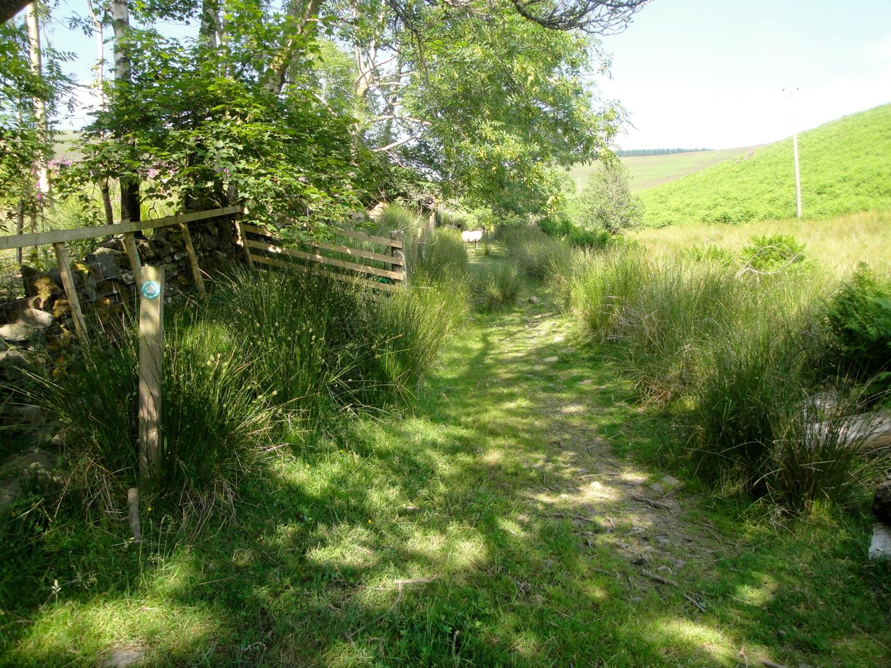
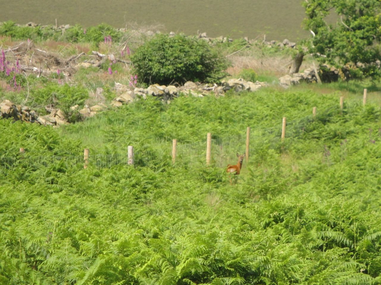
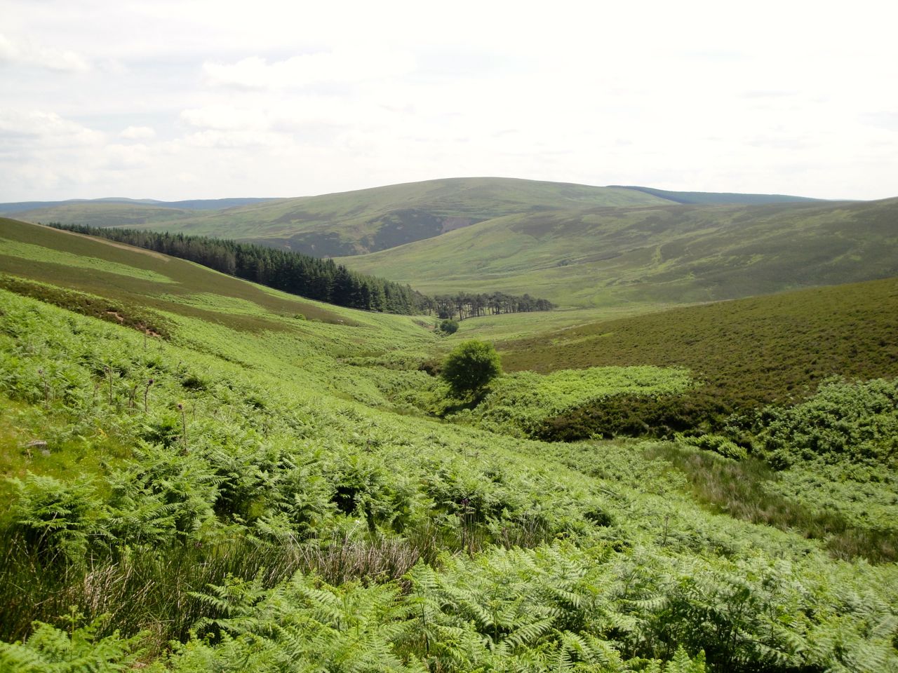
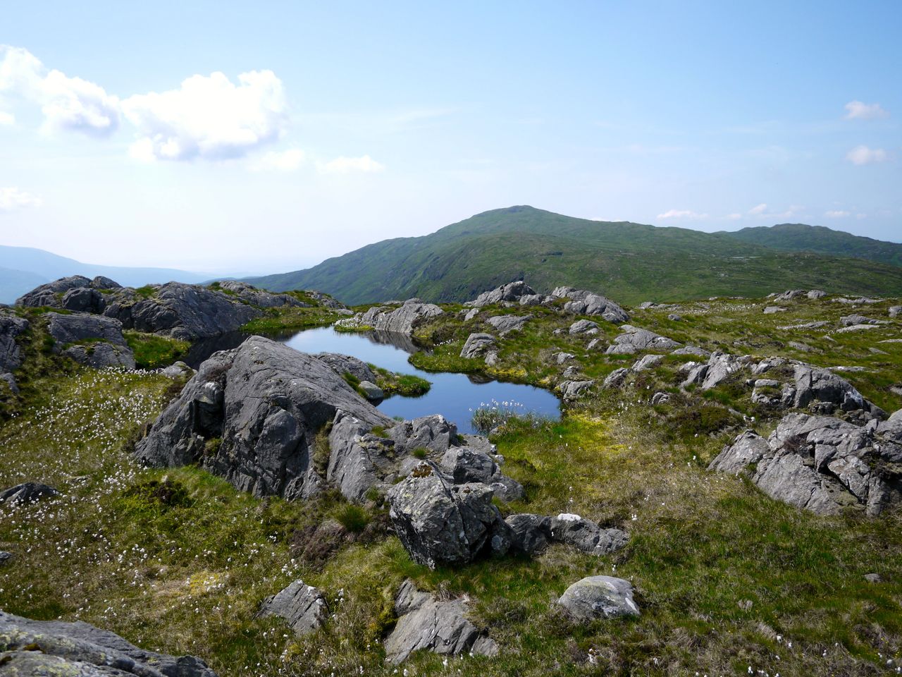
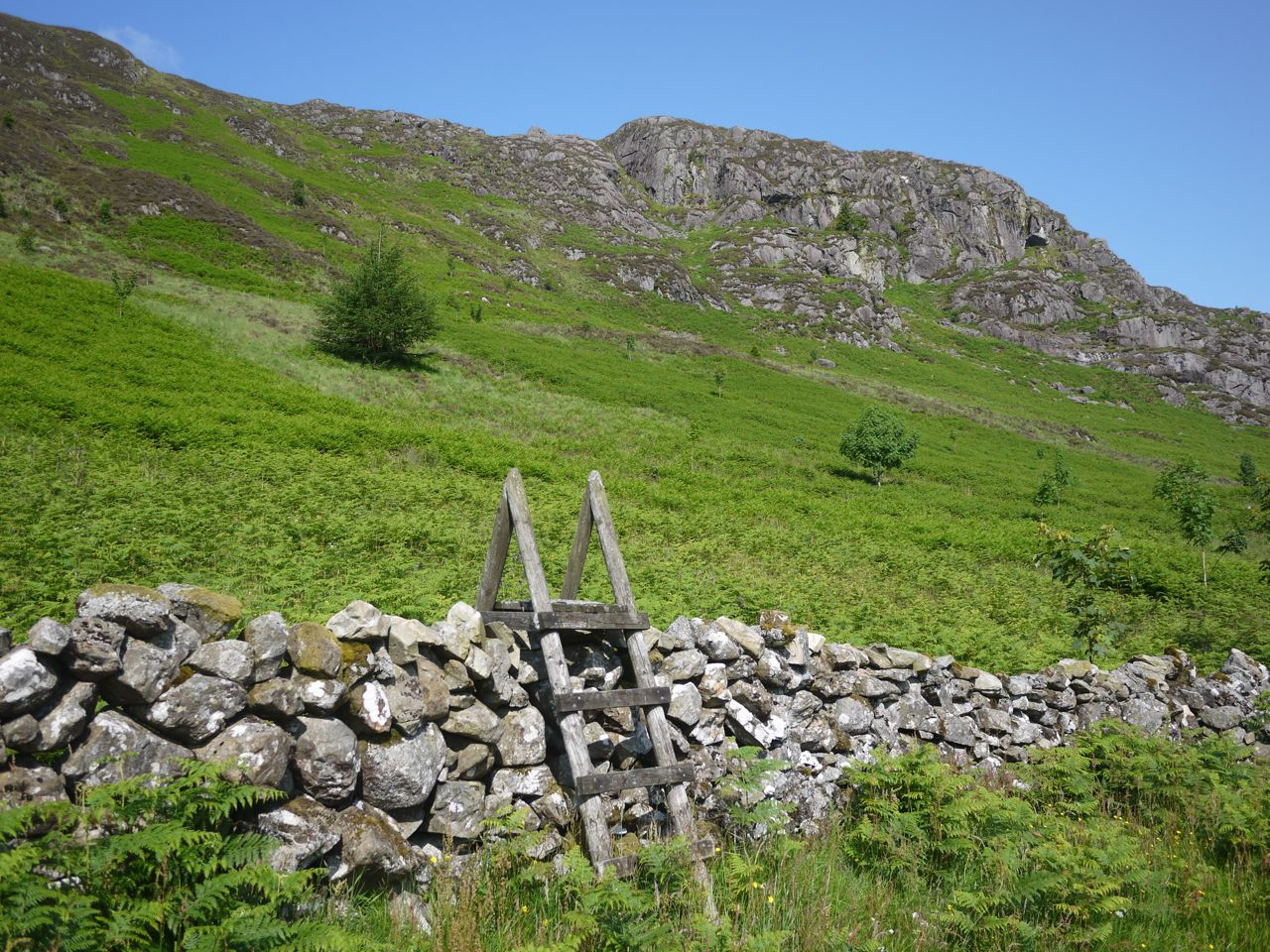
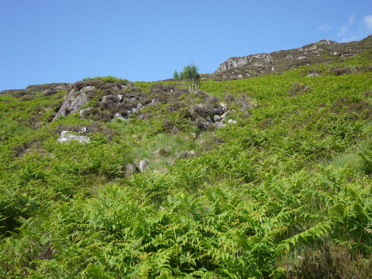
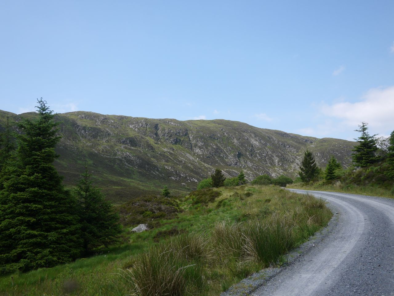
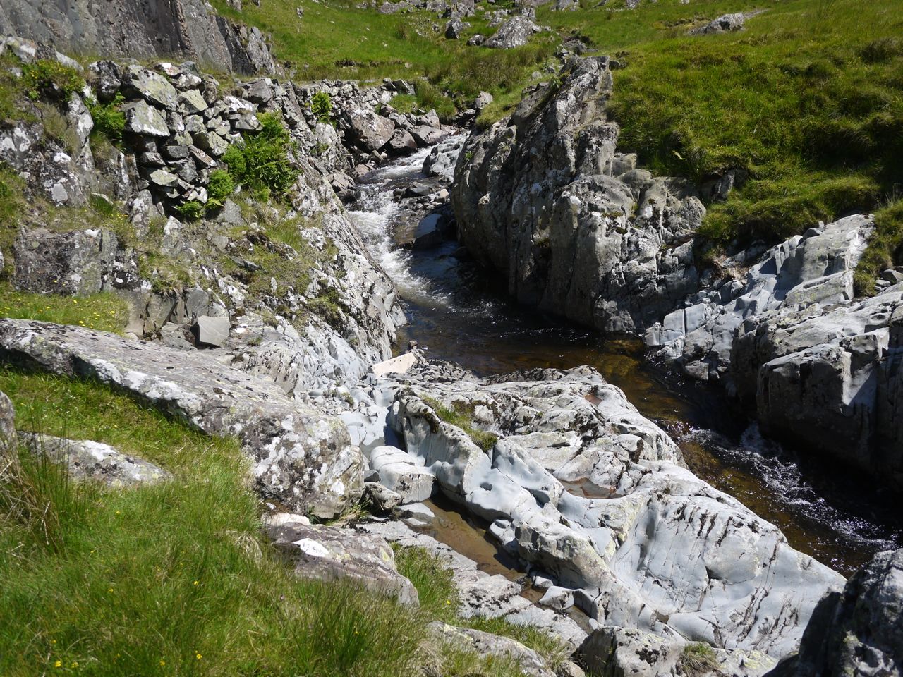
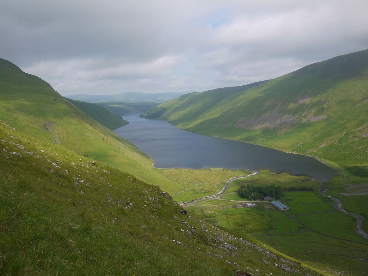
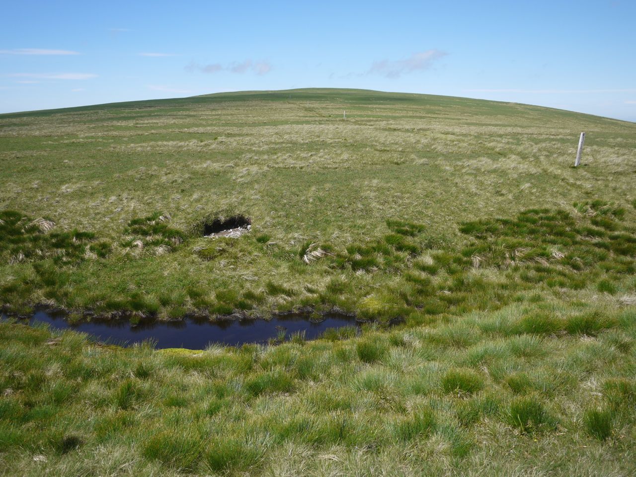
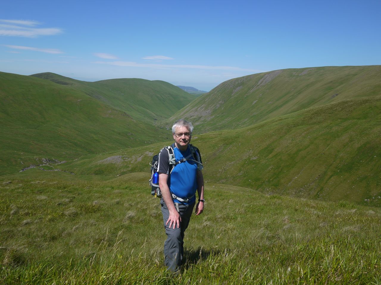
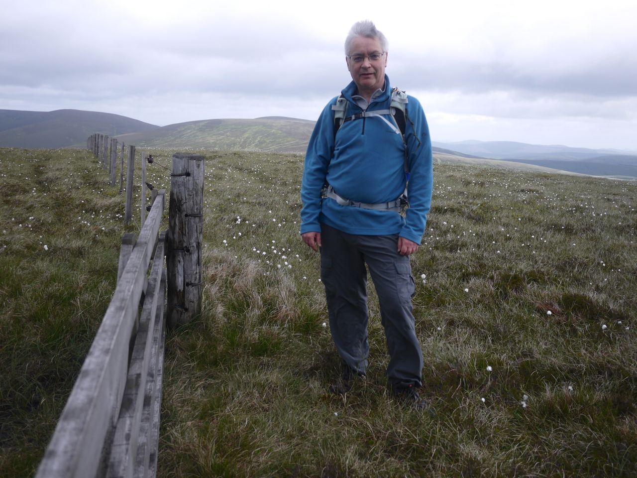
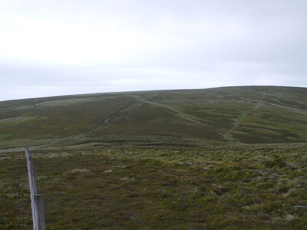
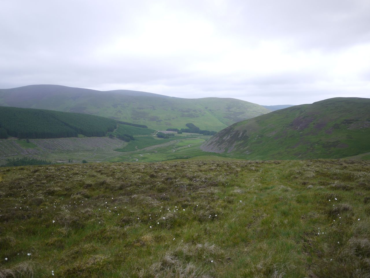
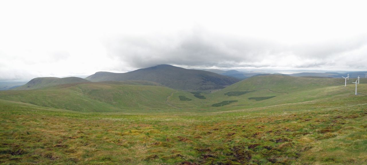
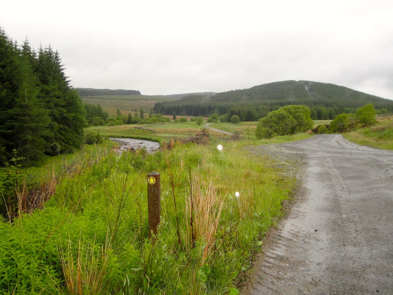
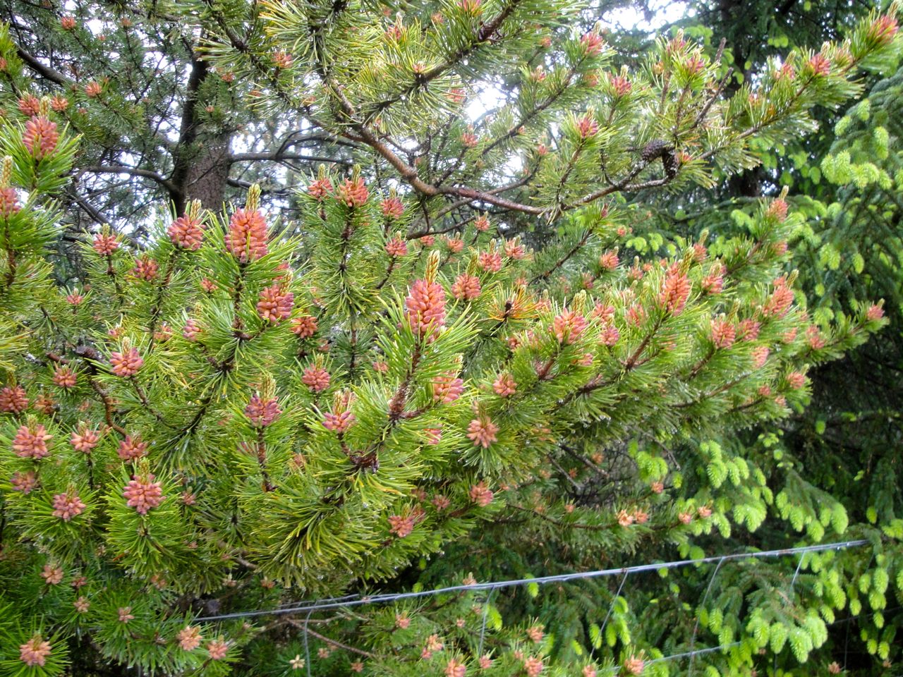
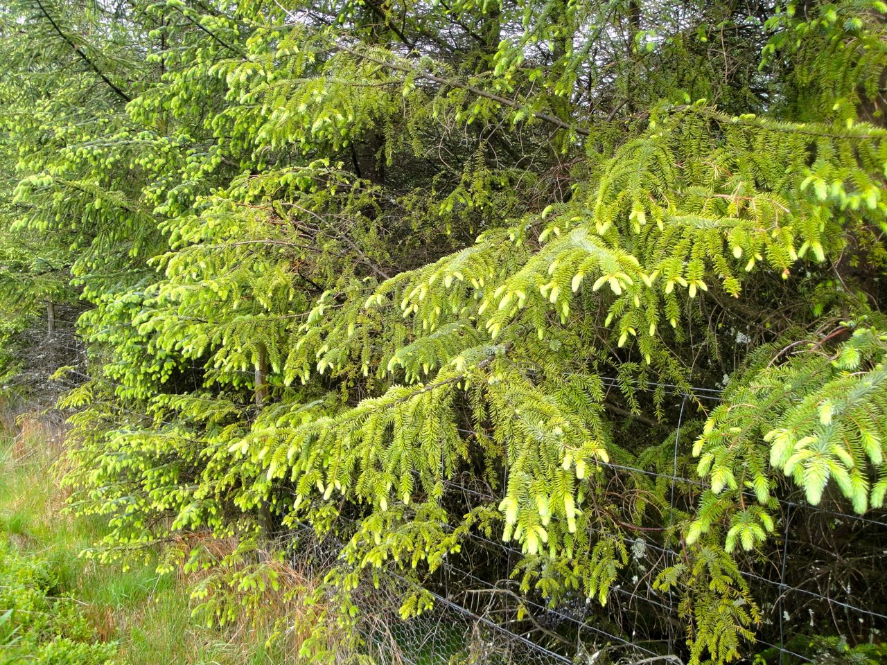
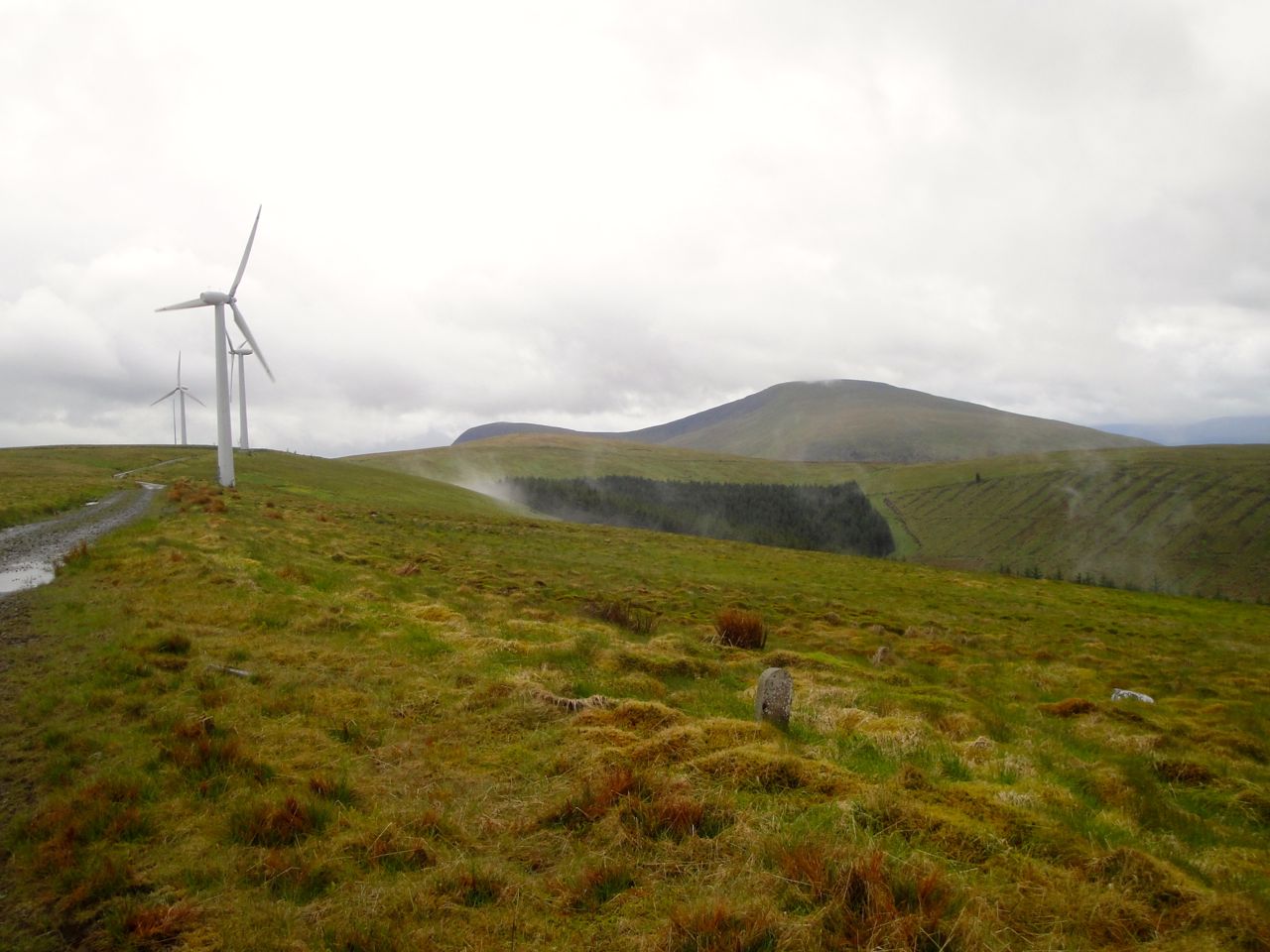
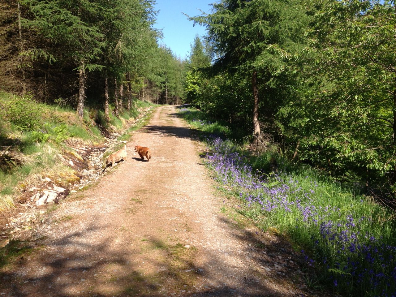
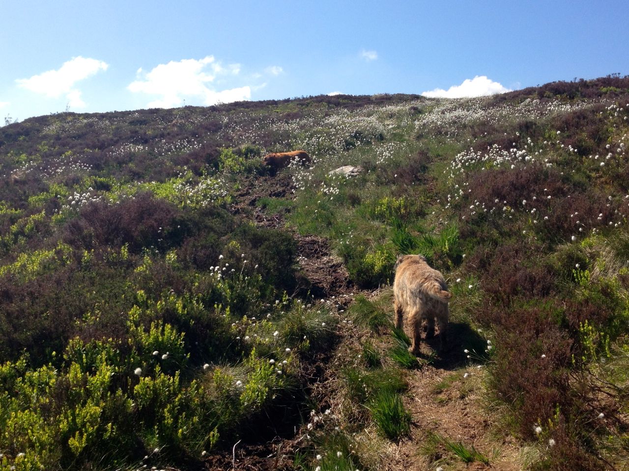
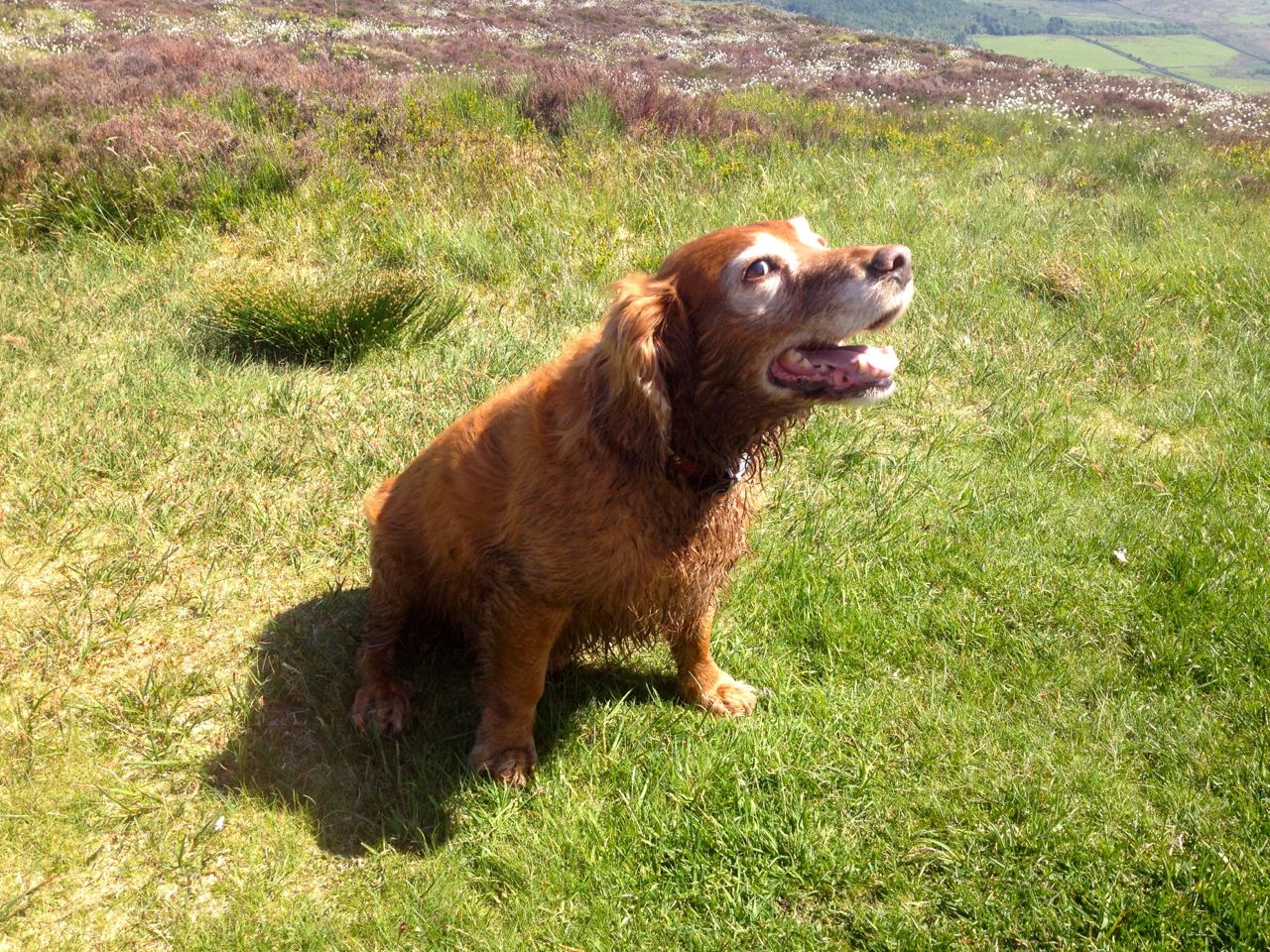
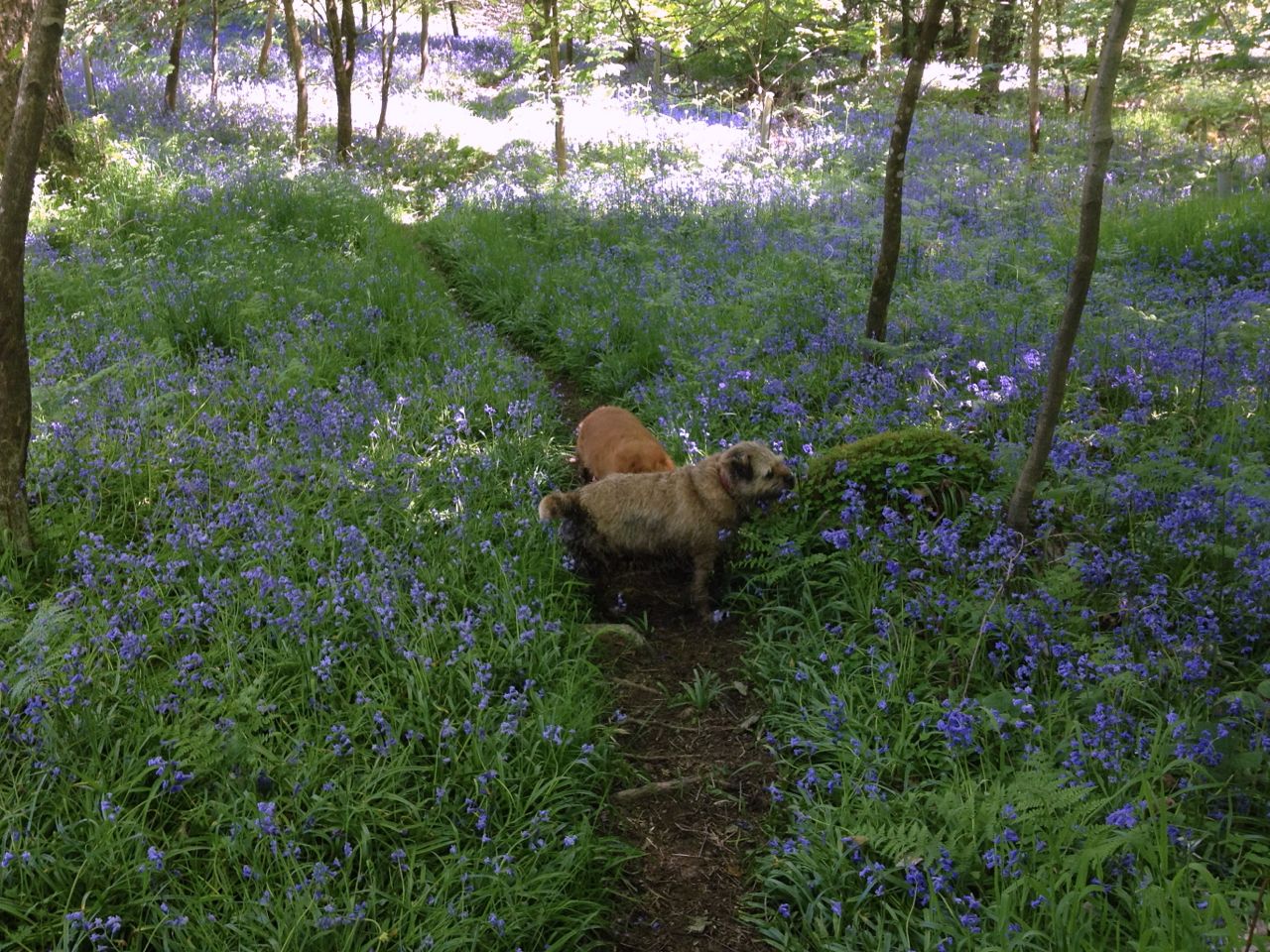
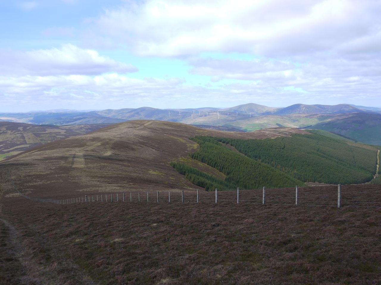
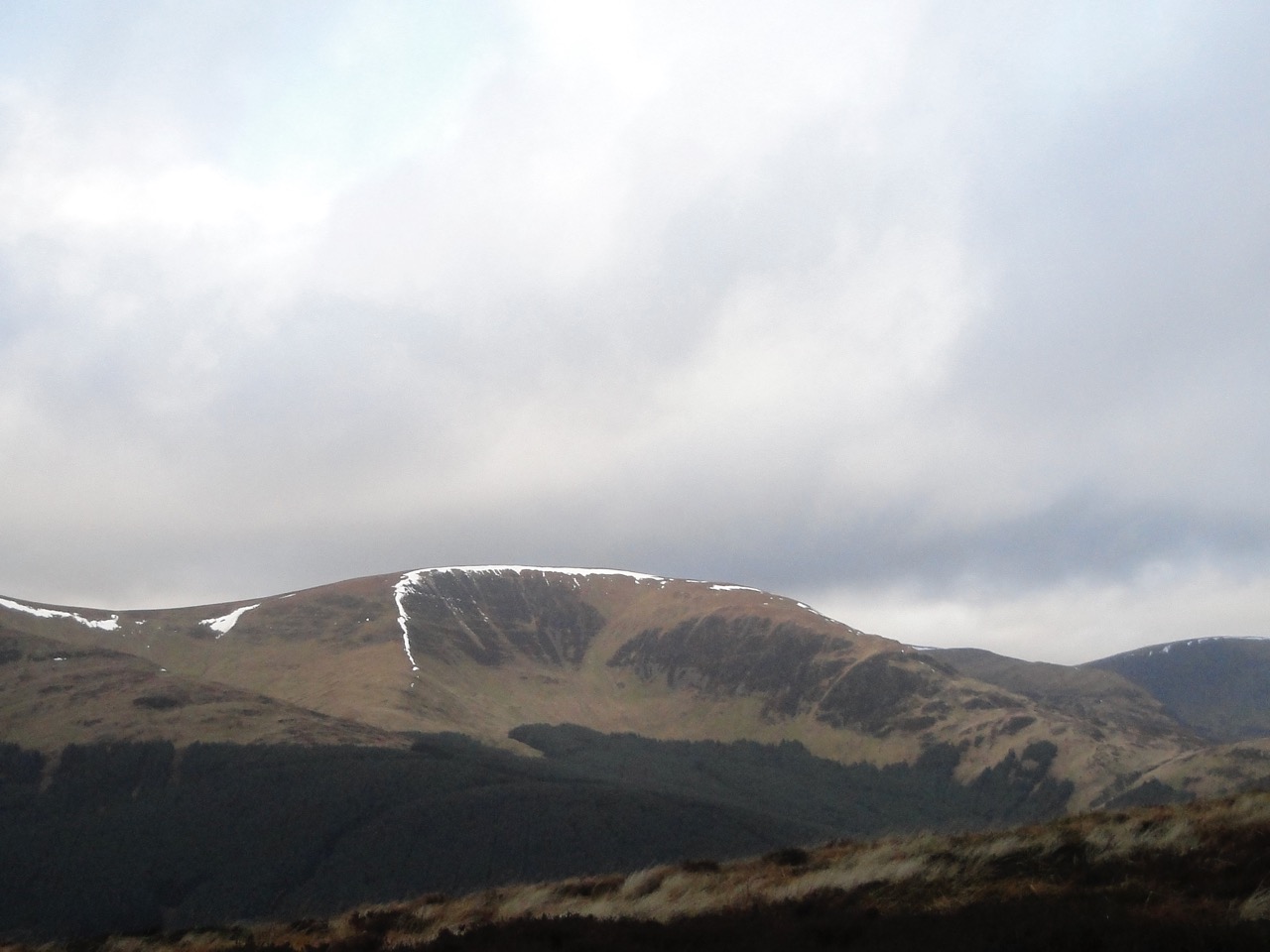
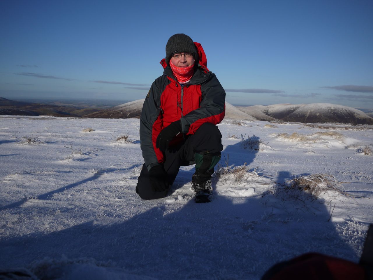
Percy Donald had one walk that he said included all weathers except sandstorms or heatwaves. I didn’t have a single walk with all those weathers but my walks have been in sunshine, rain, mist, hail and snow; in gentle breezes, upland gales and blizzards; in the cold and a heatwave. I have fallen in watery ditches, waded thigh deep across burns, clambered up rocks, kicked steps in snow, and stumbled across tussocks, bracken, heather, scree, moss, bog and peat hags. I have sat with my feet in the cold water of a upland burn, lain on the warm grass of a sunny summit and huddled behind a cairn in winds too strong to stand up in. I have been buzzed by flies, bitten by midges, and shared the hills with deer, moles, voles, hares, badgers, foxes, rabbits, kites, grouse, pheasants, wild goats, cows and sheep. I have carried a first aid kit on every walk but used it only once. Why do fences in the middle of nowhere need barbed wire?
During the same period I have also headed out on 62 non-Donald walks so I have not been completely obsessed, even it sometimes felt like it, particularly this year.
Odds and ends:
Best names:
- Curleywee (Cor le Gaeith [gwee], Hill of the Wind)
- Drumelzier Law (Drum Medelwur, Hill of the fort of the Reaper Men/Slayers)
- Carrifran Gans (The hill you pass on the way to Caer y Fran, the Raven’s Fort)
- Mullwharchar (Meall na h-adhairce [aharky], Hill of the Hunter’s Horn)
Most inappropriate name:
- East Mount Lowther, the most westerly of the Lowther Hills.
Hills named after wildlife:
- Ben Ever (Eofer, wild boar)
- Windlestraw Law (dry grass stalks)
- Birkscairn Hill, Birks Hill (birches)
- Hart Fell (deer)
- Deer Law (deer, or perhaps oak, daur)
- Carrifran Gans (ravens)
- Cairnsmore of Carsphairn (carse fearn, field of alders)
- Moorbrock (broc, badger)
- Alwhat (Aill Chaat [haat], cliff of the wild cats)
- Keoch Rig (sceitheog [skeoge], a hawthorn bush)
- Benyellery (beinn iolaire [yillary], eagle’s hill)
- Earnscraig (Eagle’s Hill)
- Erie Hill
- Falcon Craig
- Capell Fell (Horse Hill)
- Beinn nan Eun (hill of the bird)
- Greenforet Hill (Green forest?)
- Wedder Law (ram hill)
- Ellers Cleuch Rig (ridge above the ravine of alders).
Most straightforward names:
- Meall (hill)
- The Law (the hill).
Oh I see names:
Statistics:
Longest walk:
Rhinns of Kells (Meikle Millyea to Cairnsgarroch) 15.9 miles, 1332m, 8h 40m
Shortest walk:
Tinto 4.3 miles, 484m, 2h 10m
Average: 9 miles, 694m
Most Donalds on a walk: 7 …..Rhinns of Kells, 6 hills + 1 top; Across the Gameshope Burn, 4 hills + 3 tops; Cramalt Craig and its tops, 2 hills + 3 tops + 2 humps.
Walks abandoned due to weather: 2/59 (blizzard, gale)
Walks when no other walkers were seen 35/59
Walks in rain, drizzle, sleet or snow 17/59
Most frequent after-walk comment: “well that was a walk and a half”
Strangest questions asked of me on the hills:
- “have you got any beer?”
- “have you walked from Bowness?” (50 miles away)
- “is there a shop?” (high in the Moffat hills)
- “have you come from the up there?” (while walking down the hill)
- “what Roman fort” (looking at the ruins of a fort)
Most welcome question:
- “Would you like a lift?” (after 13.5 miles on the hills and walking back along the road to my car 2.5 miles away)
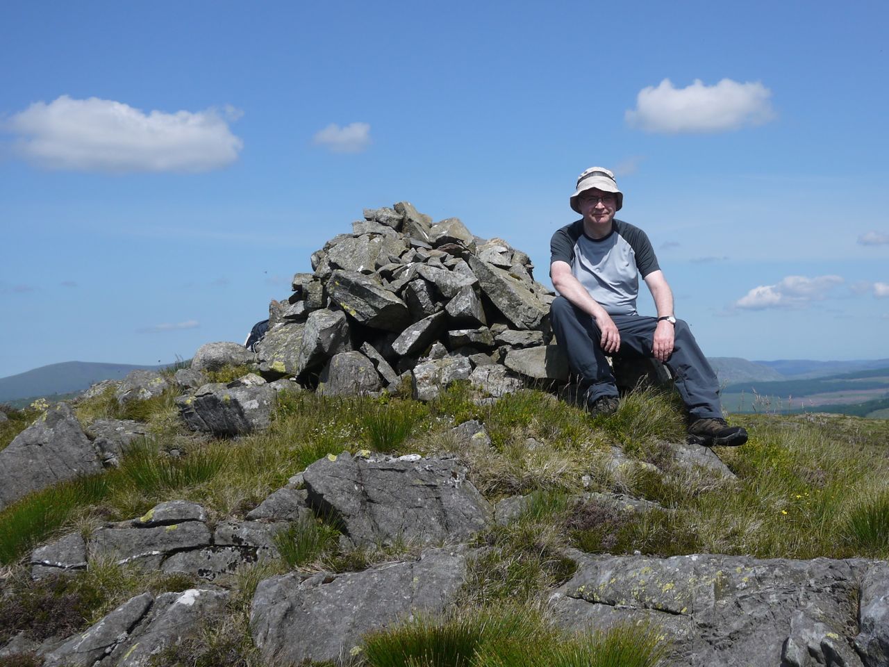
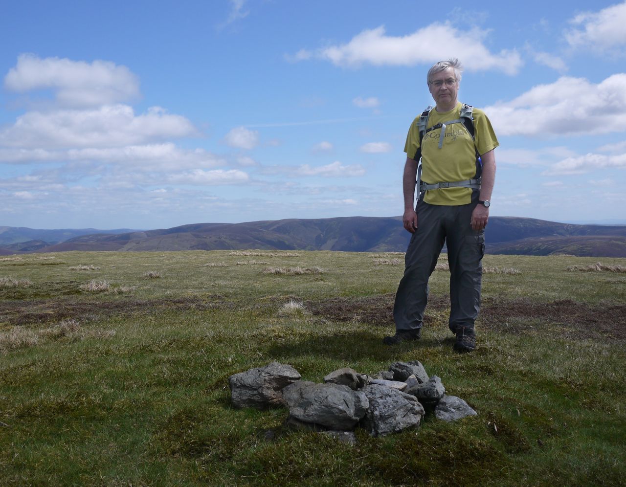
Well that’s my Donald Project complete. What started as a an occasional trek and evolved into an obsession is now officially over. Now I can turn my attention to the SUW.
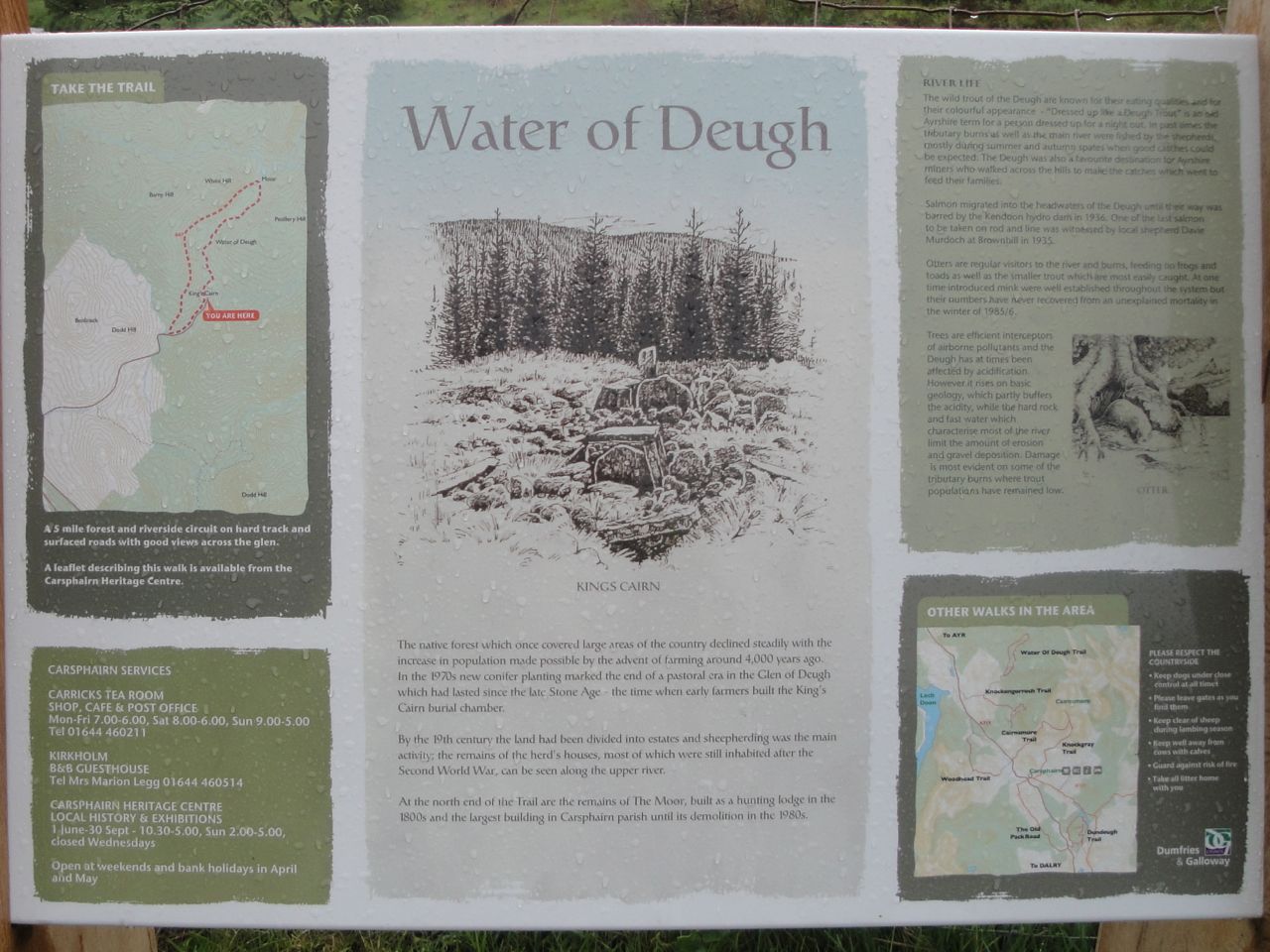
I’ve chosen one photo from each walk for the gallery below. [edit: removed since the gallery is defunct – working on replacing it]
The Walks:
2009
Tinto
Cairnsmore of Carsphairn
2010
Rinns of Kells
Shalloch on Minnoch
The Roaring Linn
Law and Ordure
Seeking the Grey Man
The Rhinns of Hell
The Cold Hill
Brass Monkeys on Hart Fell
2011
Louthers in White and Green
What Roman Fort?
Alhang by map and compass
Lonely Donalds in the Mist
Daer Again
Lousie Wood Law
Mullwharcher
Following the fence posts to Curleywee
The Silver Flowe
Law, Shank, Hill, Fell, Craig and Pen
2012
(Sans-)Bodesbeck Ridge
Windy Standard in the Snow
Last of the Ettrick Donalds
Blackhope Round
Kirriereoch
The Blackcraig
Coran of Portmark
Cairnsmore of Fleet from Dromore
Moorbrock = the Polifferie round
The Crown of Scotland
Conquering the Raven’s Fortress
Across the Gameshope Burn
Good samaritans from Dollar Law
Raikin the Foulbrig
Limping round Drumelzier
Fell shin to Dun Knees
Gathersnow’s Ridge
2013
Heatherstane Law from Lamington
Crunching and Crackling over Cauldcleuch Head
The Glenrath Hills – bailing after Stob Law
The Glenrath Hills – all four Donalds
Moorfoot’s enchanted giants, secret cables and frozen land
Windlestraw Winterland
The Glenartney 2Ks
The Louther Hills
Wet and Dry: Scaw’d Law and Glenleith Fell
The Western Ochil Donalds
Glensherup Round
The Garden Path: Windy Gyle and the Cheviot
Ellers Cleuch Round
Beginner by the Bridges
Cramalt Crag and its Tops
Taberon Law to the Scrape
Lowly Dugland
Blackhouse Heights
White Coomb from Talla
The Buckdass of Cairnbaber
Tinto
C of Carsphairn
Meikle Millyea, Milldown, Corserine Millfire, Meikle Millyea (old GR)
Shalloch on Minnoch, Caerloch Dhu
White Coomb, Mid Craig
Queensberry
Merrick, Benyellary
Carlins Cairn, Meaul, Cairnsgarroch, Meikle Millyea, Milldown, Corserine, Millfire, Meikle Millyea (old GR)
Millfore
Hart Fell
Birks Hill