13.9 miles 5h 47m 780m ascent
Windy Gyle-The Cheviot-Auchope Cairn
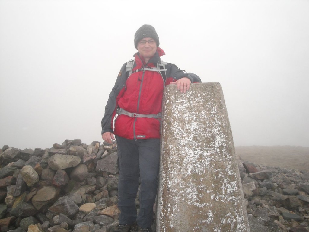
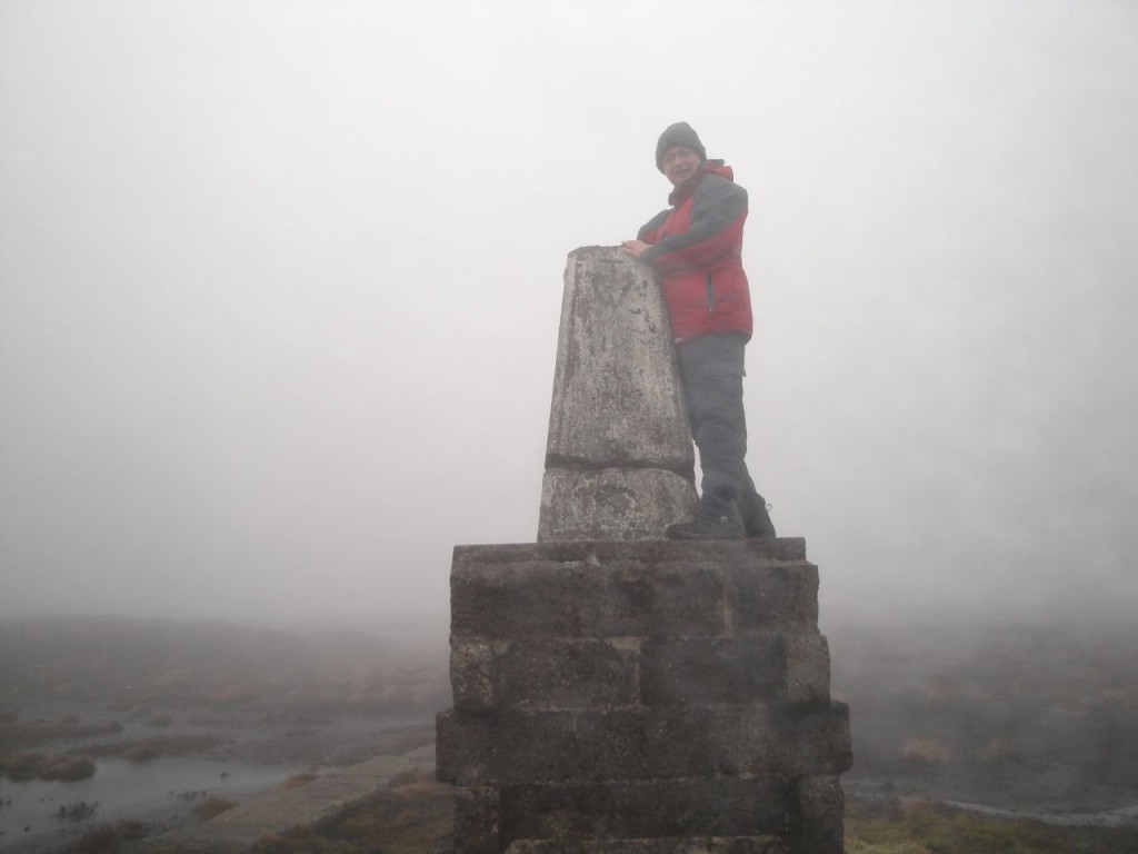
My final Donald, hence my grin in the photograph above. Though this was my longest drive for a Donald-bagging outing, in time if not miles, we still found time to nip down into Jedburgh to see the Abbey. Admittedly, we hadn’t intended doing so but in retrospect we felt the day would have been incomplete without the detour.
We parked at Cocklawfoot and walked up the road to Kelsocleuch Farm where we found a hand-written sign suggesting an alternative route to Windy Gyle avoiding the electric fence. I’ll have to say I have never really had much trouble with electric fences, but it seemed reasonable to take the advice. Safety first.
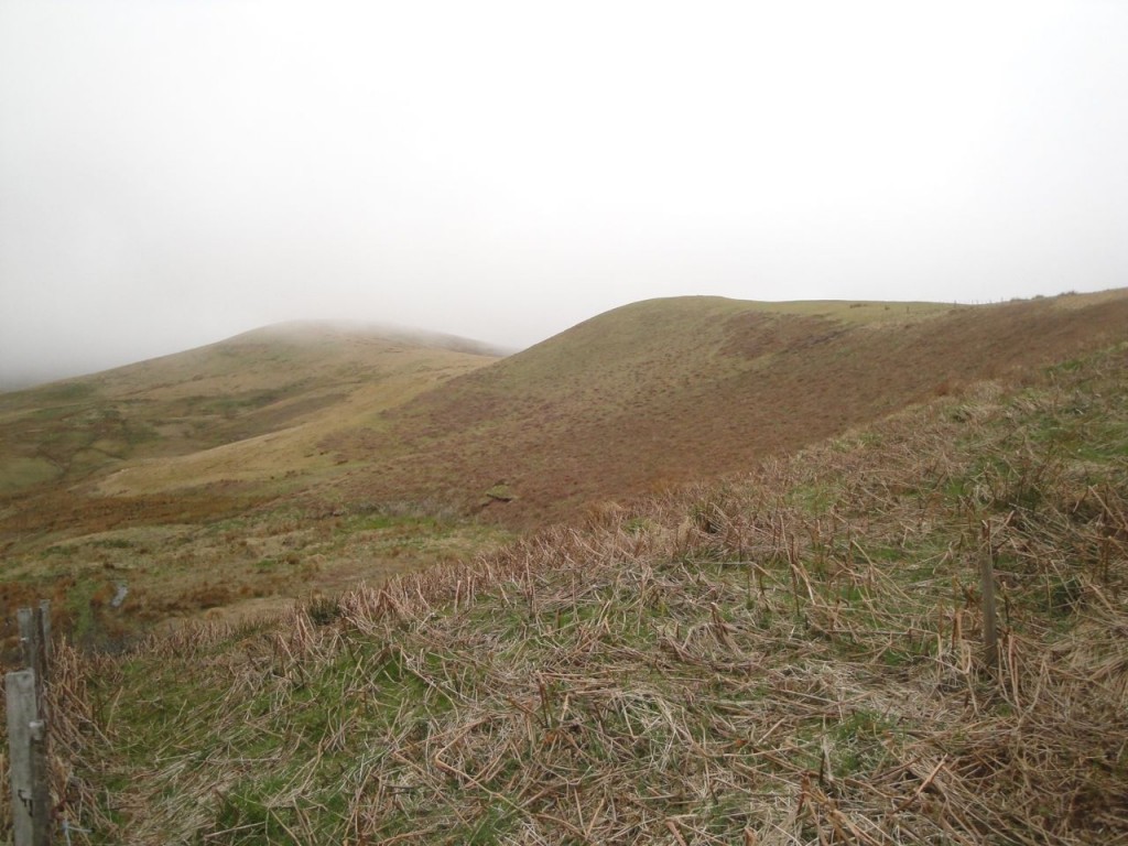
The alternative route followed a track along by the Back Burn and then between the stone wall of a field and a stand of trees. At the end of the wall we found another sign pointing left for Windy Gyle. This led us to what once would have been a forest break, but was now just an area less littered with bits of tree than the felled woods either side. There were some trees remaining at the top and once beyond these we could see the way along Kelsocleuch Rig and Windy Rig.
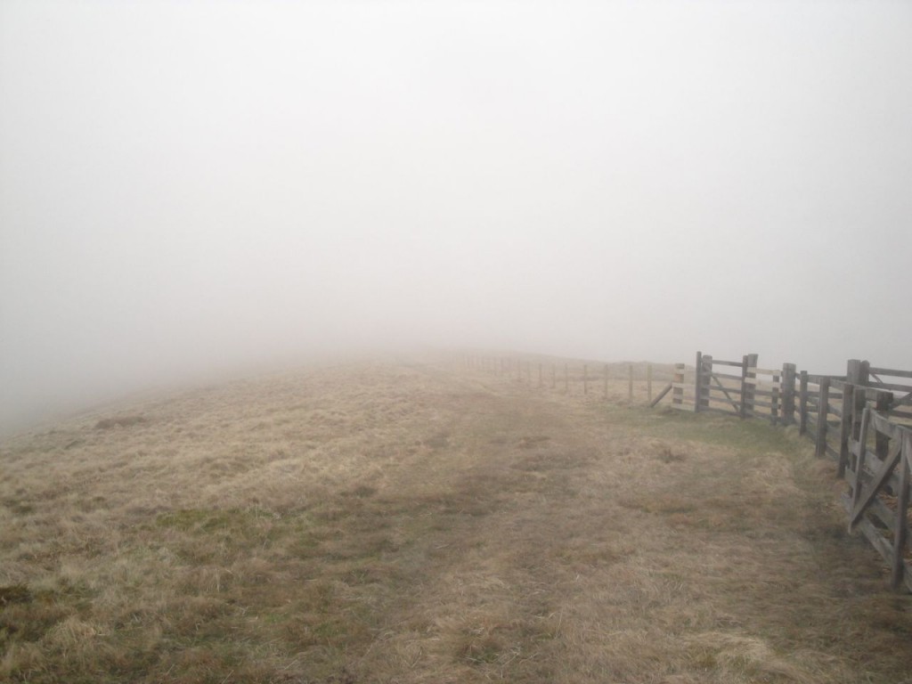
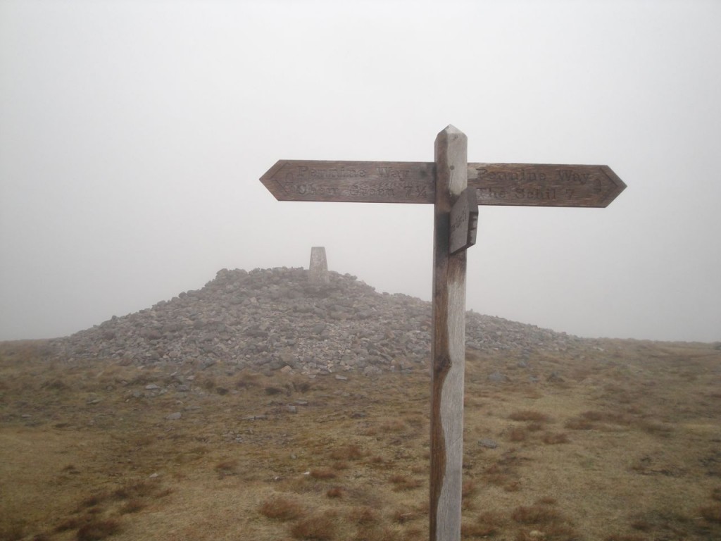
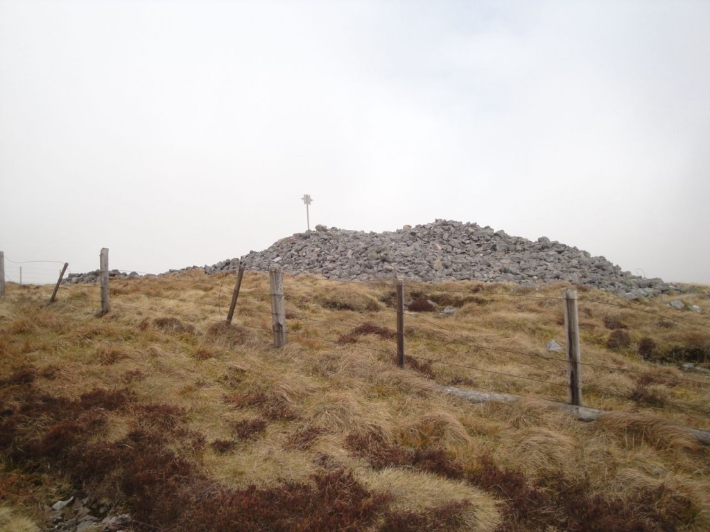
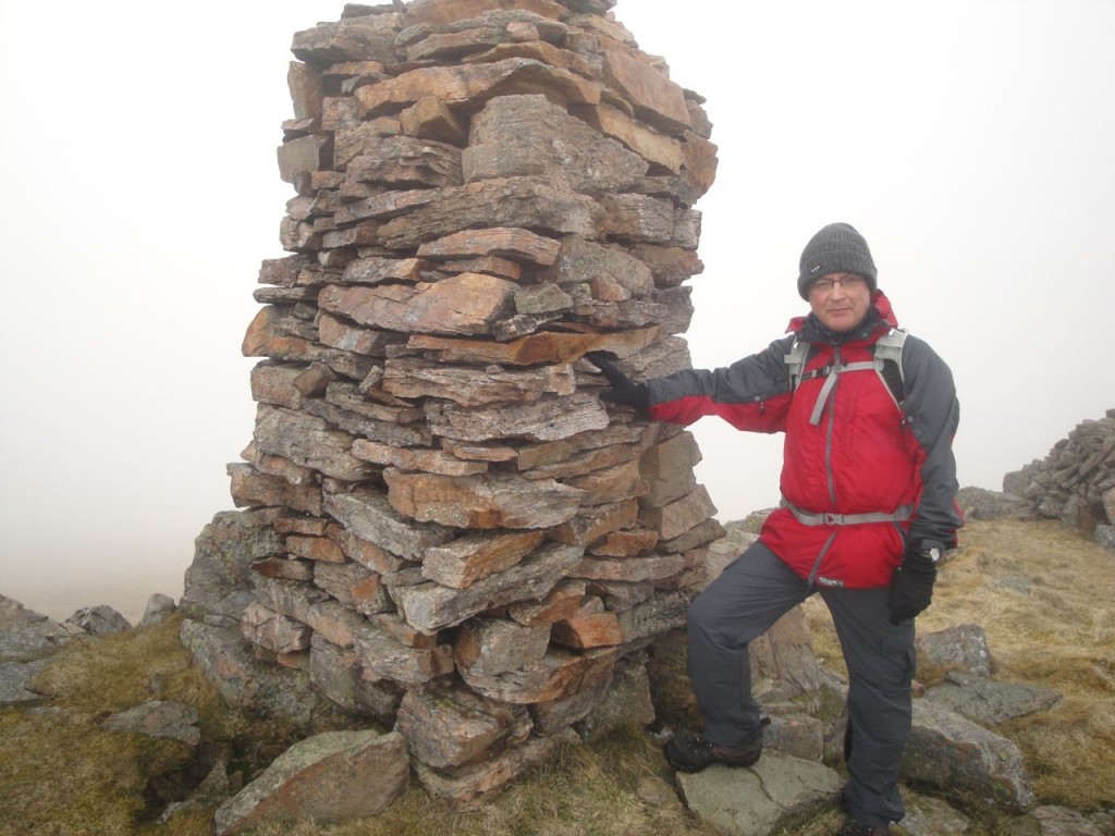
The walk up this long ridge was a steady climb, and the wind began to pick up, but I was able to escape the worst of it by walking in David’s lee. (Learning point: don’t walk solo if its going to be windy.) Unfortunately we were soon in cloud so there wasn’t much to see. The grassy ridge joined the more substantial pathway of the Pennine way which led up to the summit of Windy Gyle (Windygate Hill on older maps). Though the photos look relatively clear, it was really quiet misty and the large cairn only came into view when we were quite close.
There were a couple cairns at the summit, the largest, Russell’s Cairn, having a trig pillar built into it. Windy Gyle was living up to its name so the stone shelter was useful for our elevenses. It had been suggested that I wear a kilt for my final Donald but given the strong winds I’m glad I didn’t. I wonder if an OS map fits in a sporran?
After the food and drink break I stepped up to the trig for my photo-shoot and this being my final Donald I decided to smile for the photographs rather than scowling, blinking or becoming blurred as I usually do.
From Windy Gyle we crossed the union boundary to follow the Pennine Way eastwards. The descent from Windy Gyle passed two cairns, the first a stone man perhaps 70m from the fence, the second a substantial cairn with an adjacent shelter by the fence. This second cairn carried a metal pole with a star affixed. I’d noticed the remains of a metal pole in a lump of concrete on the smaller cairn on Windy Gyle, and wonder if it once had a similar star.
These two large cairns, one at the summit of Windy Gyle and the other 700m further east, are said to date from the Bronze age (2600BC-700BC). That on Windy Gyle is marked on the OS as Russell’s Cairn, named in memory of an English nobleman, Lord Francis Russell, killed “at a day of truce held at Cocklaw” (some truce), at a meeting of the Wardens of the Middle Marches, in 1585.
By the lower cairn we met a walker heading the opposite way to us, and he surprised me by asking two unexpected questions: 1. Had we come from Bowness? 2. Did we have any beer? He had a book in his map holder that looked like one of Wainwright’s volumes.
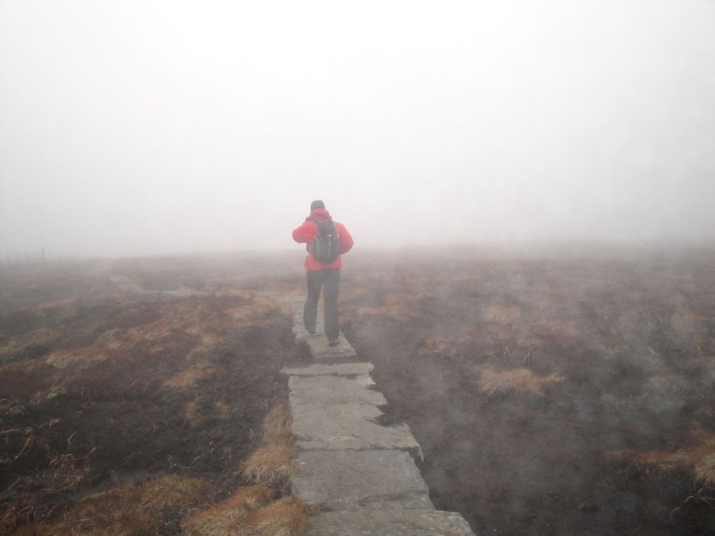
By now the Pennine Way was paved, prompting David to suggest I was leading him up the garden path. If so it was certainly a large garden and somewhat lacking in variety. The next hour or so was, I am sad to say, a tad boring. We plodded along the paved path with nothing to see but fence, mist and flat heather moorland. We could almost have been on a treadmill.
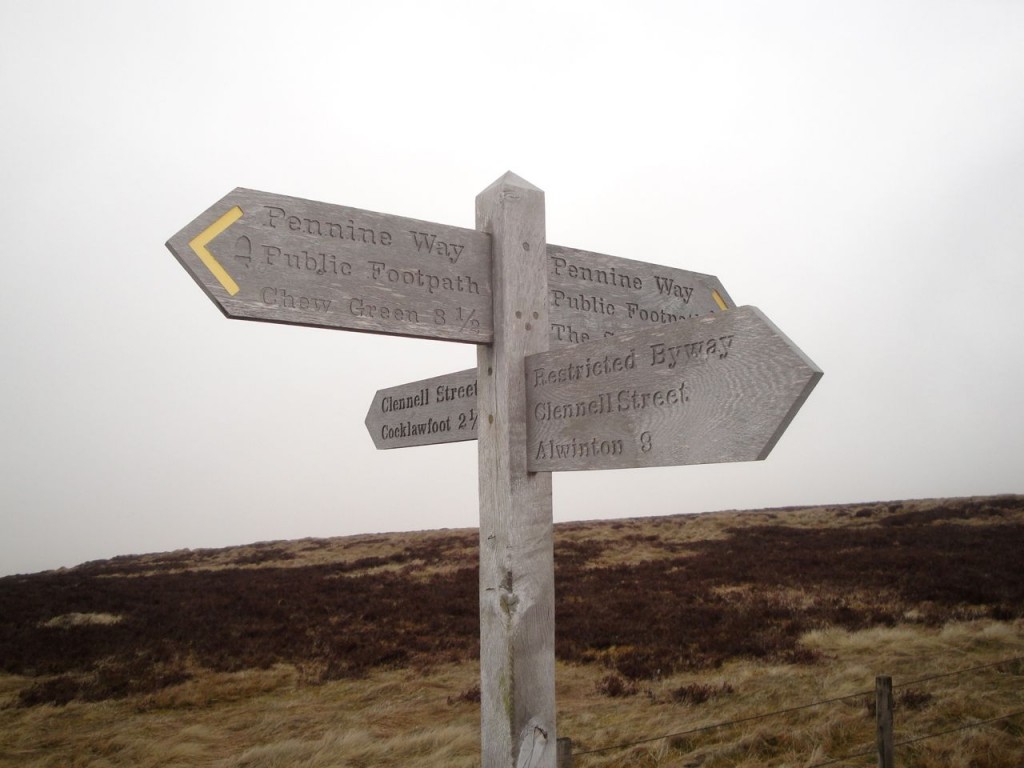
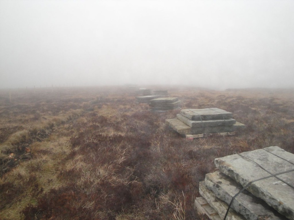
Admittedly there were some breaks from the monotony. Where Clenell Street crossed the ridge there was an actual road sign (No motorised access between April and May) as well as a wooden Pennine Way sign. Some of the sections of path were not paved, depositing us onto soft peat, and in places there were piles of slabs waiting to be laid. Without the trig point at King’s Seat I might have been uncertain we were making timely progess. And as I write this I have a painful left calf and looking back suspect I injured it during the monotony when my heel dropped into a space between two slabs. (Self diagnosis: Grade 1 calf strain). Certainly I didn’t have any pain on Windy Gyle and did by the time I reached the slopes of Cairn Hill.
There was a climb of more than 200m from the lowest section of the Border Ridge to Cairn Hill West Top but it was so gradual you would hardly have noticed it. I do find it difficult assessing how far I have walked in the mist so I was pleased to reach a section of slightly steeper ground since it was a sign we were almost at Cairn Hill West Top.
At Cairn Hill West Top, the Pennine Way turned NW towards Auchope Cairn but another garden path headed east to The Cheviot. Our plan had been to decide whether to include the Cheviot once we reached this point and since we were making good time, after pausing for a drink, we headed for the Cheviot.
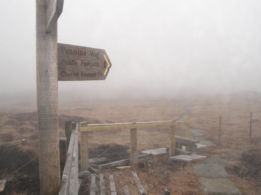
I had been struck earlier in the walk by how flat the peat heathland of the Border ridge had been, no obvious erosion and not a peat hag in sight. The terrain heading up the Cheviot was very different with quite large hags, the path dipping into the hollows where some of the paving had begun to sink. Cairn Hill had a large cairn and a wooden signpost telling us we were 3/4 mile from the Cheviot summit. The peat here was denuded of plants and so flat that it must have been semi-liquid. A little further on we passed some very deep footprints where someone had ventured off the paving.
The Cheviot has a trig pillar mounted on a pedestal and since it wasn’t particularly high I felt obliged to clamber up for the photo. I take it that the pedestal was not there when Percy Donald visited in the 1930s since his description of the summit was “The main top is marked with an oasis of broken bottles in a desert of bottomless peat hags”. I didn’t see any broken bottles, so presumably they have been swallowed by the bottomless peat.
“Nothing to see here” would sum up the views pretty well. I must say that I have respect for people who climbed this hill before the paving. It must have been hard going though the peat hags and mud. Certainly a walk to save for a frozen day.
The path from Cairn Hill West Top to Auchope Cairn was a raised wooden walkway but work was underway to replace it with slabs. In places the wooden walkway had been removed, in others, where it was still present, the slabs had been dropped onto the path either destroying it or at least blocking it. This meant we weren’t denied the experience of picking our way through the soft peat.
Auchope Cairn had a couple of large cairns at the edge of a small drop, and though we couldn’t see these hills from the Cheviot because of the low cloud, I felt that Auchope Cairn was more of a discrete hill than Cairn Hill West Top. From Auchope Cairn we headed down along the west ridge, following a worn track towards the Mountain Refuge hut.
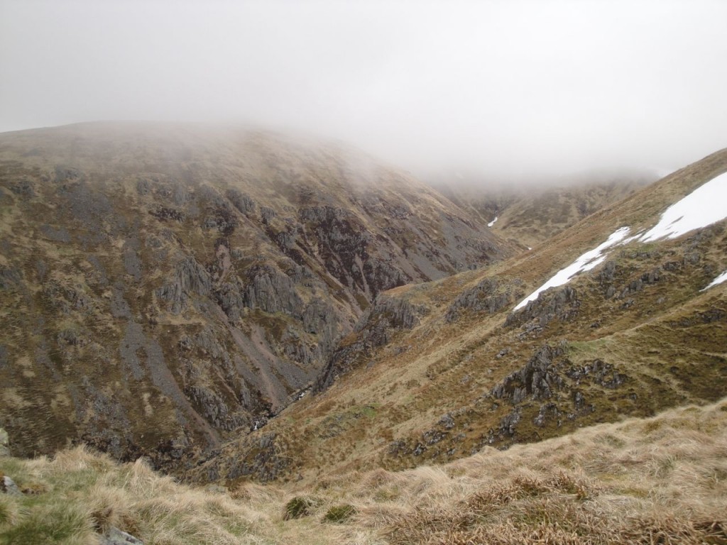
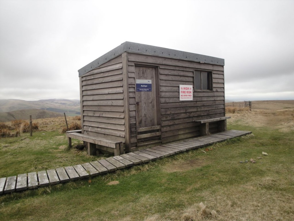
As we emerged from the cloud, the Hen Hole became visible, an impressive sight, but the view before me didn’t quite look right. I had expected to see the hut, but couldn’t, so I had a few moments consulting at the map. Despite the lack of a hut we seemed to be heading in the correct direction so pressed on. Within a minute or two I spotted the hut which being the same colour as the surrounding ground had been hard to see initially.
The mountain refuge hut was snug, with benches to sit on and a visitors book to write in. So for once we had our lunch in the most comfort I have had on a hill, with the wind howling outside but us warm and sheltered inside.
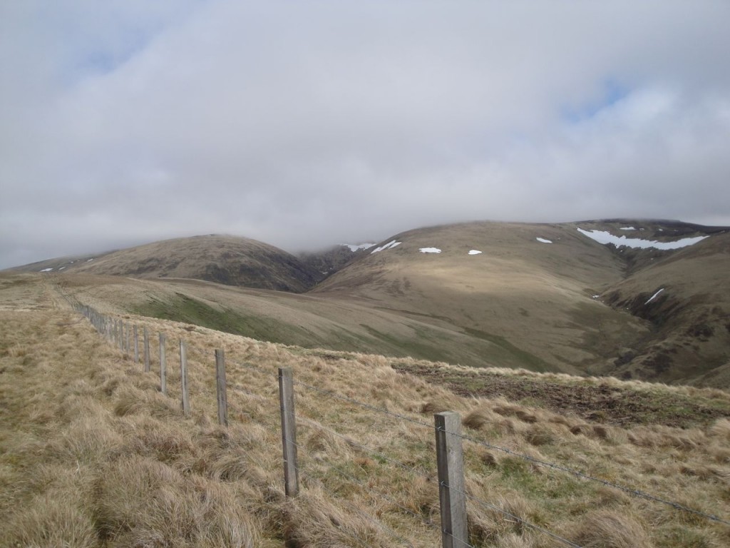
From the Refuge Hut we headed for Auchope Rig but overshot slightly and had to head back. By the time we were descending Auchope Rig there was some sunshine, some blue sky and a distinctly warm wind but the the Cheviot and Windy Gyle were still in cloud.
From Auchope Rig we picked up a farm track at a gate, the fence here being topped with barbed wire. The track led us down through Cocklawfoot Farm and back to the car.
My Donald walks have added up to 436 miles and 33717m of ascent. Percy Donald estimated it cost him 2s 9d per hill, for me it has worked out at £11.74 per Donald Hill, which in 1935 money is 4s 2d. He averaged 1.9 mph, I’ve averaged 1.96 mph (the time includes rest stops, so the actual walking speeds will be quicker). I come home after each walk and say “that was a walk and half”, to which Mrs D&S says “you say that every time”. My outings have included every variety of weather except dust storms and tornados. I’ve had a map stolen from me by the wind (despite the lanyard being round my neck), fallen in ditches, waded burns and failed to leap others, heard the kerplunk of stepping into an unseen pool, been sunburnt without seeing the sun, survived savaging by wild midges, slipped in mud slapstick style (flat on my back), stood beneath a construction when it was struck by lightning, and shed blood (on barbed wire). Where do I get my badge?
[osmap gpx=”http://www.screel.co.uk/walks/wp-content/uploads/2013/05/RK_gpx-_2013-05-05_0940.gpx”]

