9.3 miles 4h 49m ascent 770m
Black Shoulder-Beninner-Cairnsmore of Carsphairn
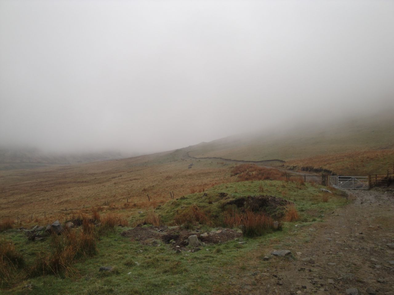
There is plenty of parking space in the lay-by across the road from the Green Well of Scotland. A new information sign just inside the first gate, has details of a 4 mile route to Cairnsmore of Carsphairn; 2.5 miles on farm track and the remainder on the hill.
The farm track runs alongside the Water of Deugh past first one barn and then another. The track by the second barn disappeared into a quagmire of mud, showing evidence of bovine activity, both hoof and bowel. I had previously passed this way and based on my previous experience had intended sticking by the fence rather than continuing along the track. I should have stuck with that plan.
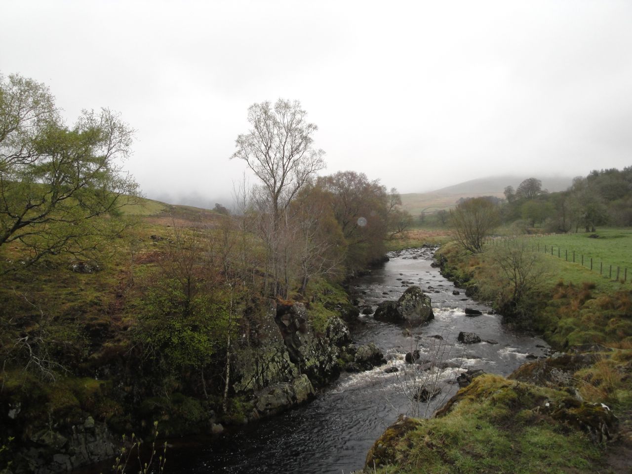
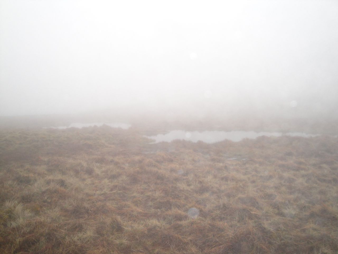
Water of Deugh
But the track looked reasonable so I found myself sinking to mid shin in a mixture of cloying mud and faecal matter. Once out of the field I had to go down to the burn and wash some of it off. I had thought I would be wading the Benloch Burn and was surprised to find a bridge there. The last time I was here, in 2009, there were only the ruins of a bridge.
I had forgotten how much climb there was along the track. My memory had it as virtually flat, whereas reality is 200m of climb. This soon had me in cloud.
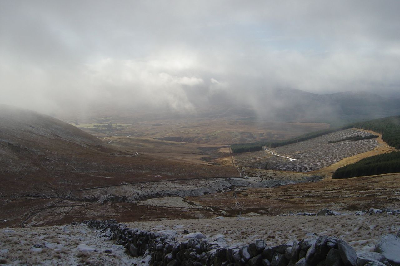
Nick of Disgee
On a previous outing I had headed up onto Willieanna, but intended climbing up to the col between Dunool and Black Shoulder this time. I believe there is a cairn that marks a good place to leave the path but in the mist I couldn’t pick out the cairn from the numerous cairn-shaped erratics.
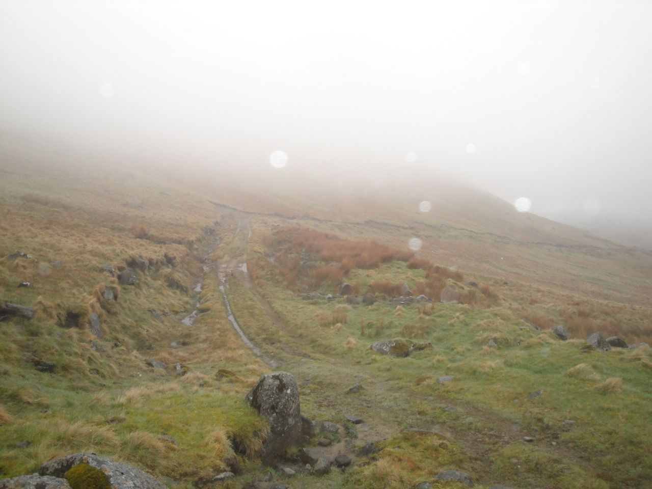
Where I left the track
I left the track after it bent left below Dunool at about NX578969. There was no sign of a path up the slope and the visibility was very poor so I headed up on a bearing for the col. After a couple of hundred metres I met a quad-bike track that led up to the small lochans below Dunool. Presumably the ATV track must have left the farm track a little beyond where I did.
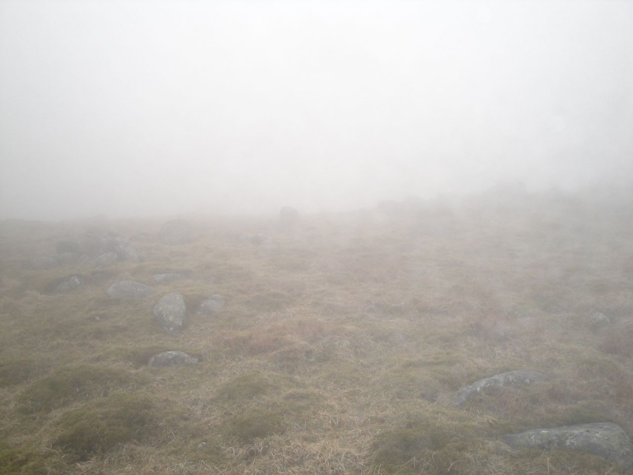
Lochans on Dunool
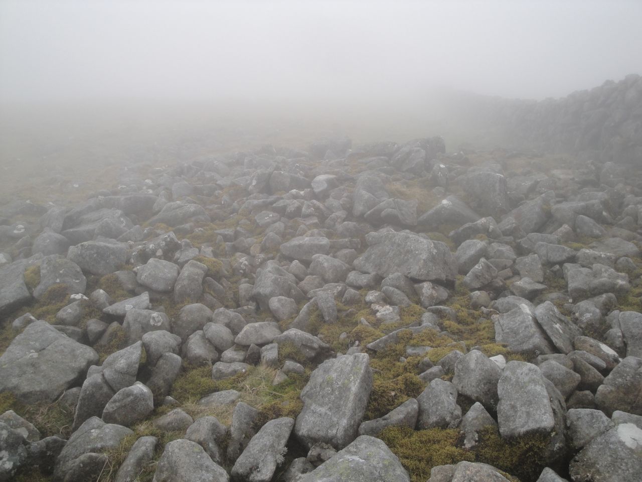
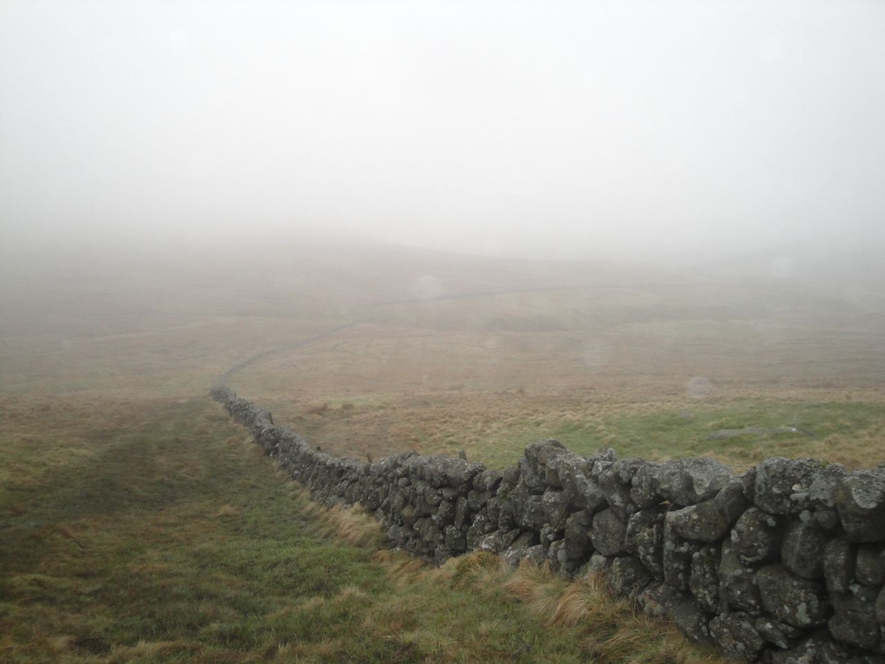
Once on the ridge, despite the poor visibility, navigation became easier. I just followed the wall up the increasingly rock strewn Black Shoulder. It was too misty to see the large lochan below Black Shoulder. Indeed the wall I was following was sometimes difficult to see when I strayed a little to find an easier way through the rocks. The wall ended as the ground flattened out but a fence continued that wasn’t there 4 years ago (I’ve checked my old photos).
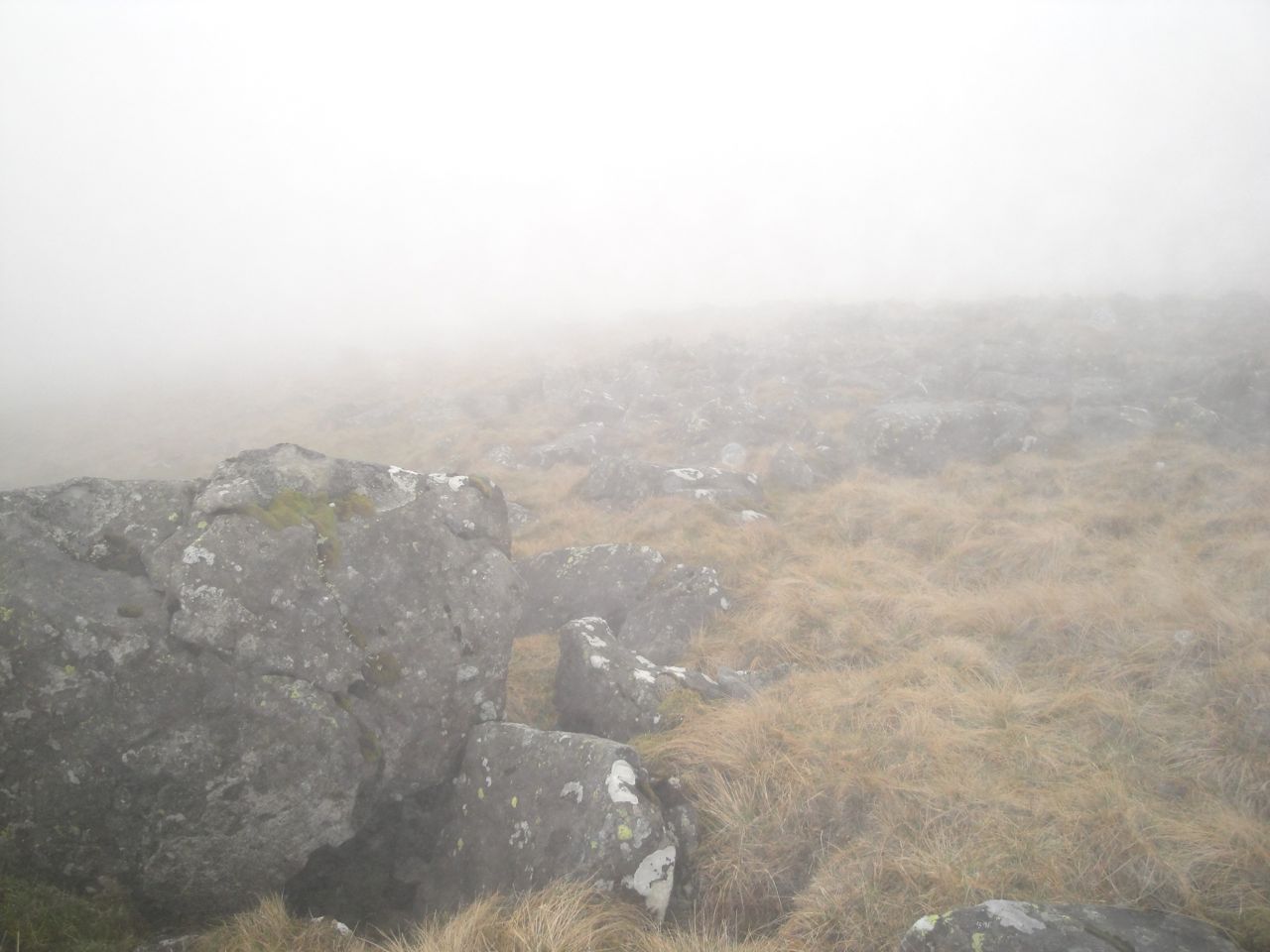
Slopes of Black Shoulder
I was now in a real pea-souper and had to count paces to decide when to head off towards Beninner. Counting off paces, I went 600m along the ridge (by the fence) then 200m contouring to the ridge connecting to Benniner. This worked fine but ended up being more complicated than it needed to be.
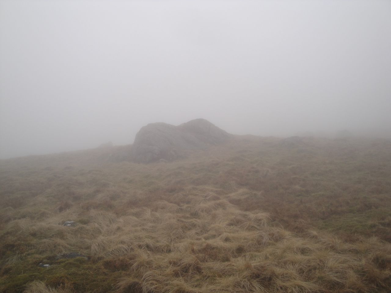
Boulder where I headed off the ridge of Black Shoulder
Having climbed the electric fence, after counting off my 600m, I noticed a gate perhaps 25m further along. My contouring to the Beninner ridge, counting as I went, was more wasted counting. I could have just followed the fence, which eventually turned down toward Beninner.
More walking through clouds had me down to the col below Beninner. An electric fence crossed the col but there was a stile with the remains of some pink balloons pinned to it. The col was boggy with several pools of water to avoid but once off the col itself the ground firmed up.
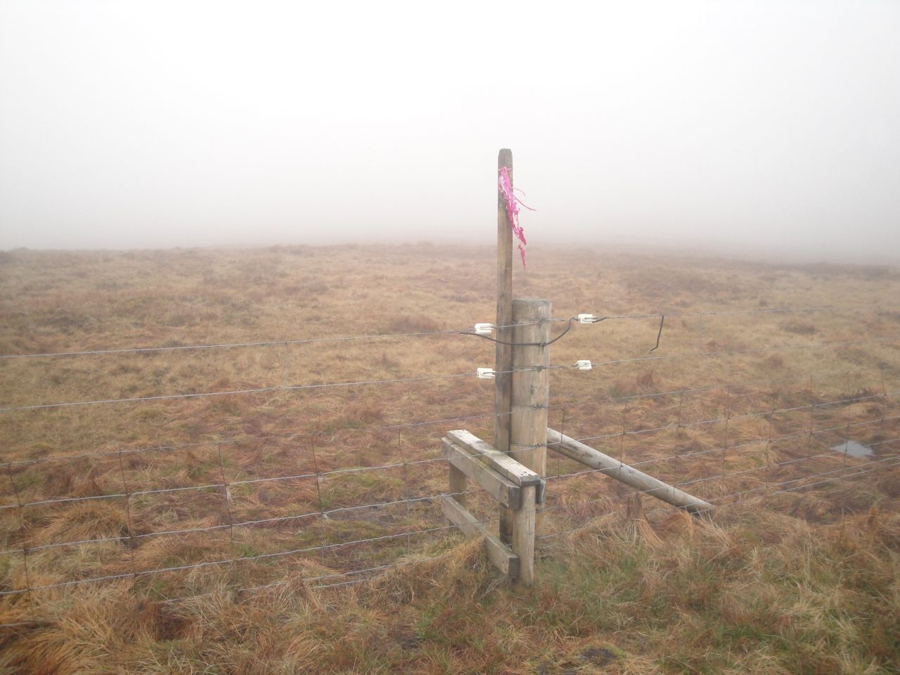
Stile in the Beninner col
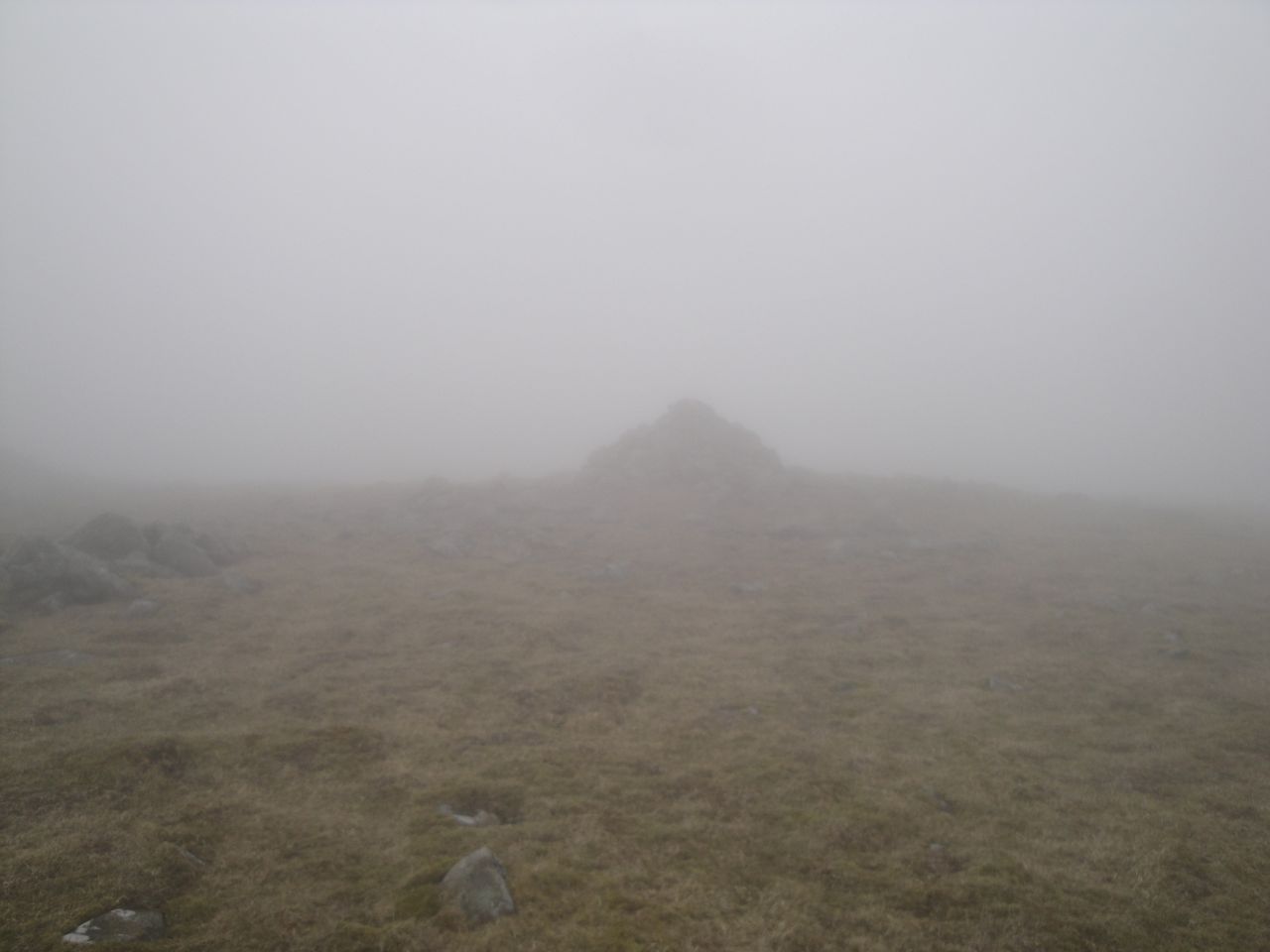
The cairn atop Beninner eventually came into view when I was almost upon it. Once there I looked beyond it and saw another large cairn in the distance that looked possibly higher, so I set out to investigate it. But I was fooled by the mist, it was a small rock much closer than I had imagined. I then turned back to see if it was higher only to find that I couldn’t see the original cairn anymore.
Beninner summit
From Beninner I retraced my steps back to the stile with the remnants of balloons, then up to the fence from Black Shoulder. I was then faced with the electric fence again. Luckily, a little way further along was another handy stile.
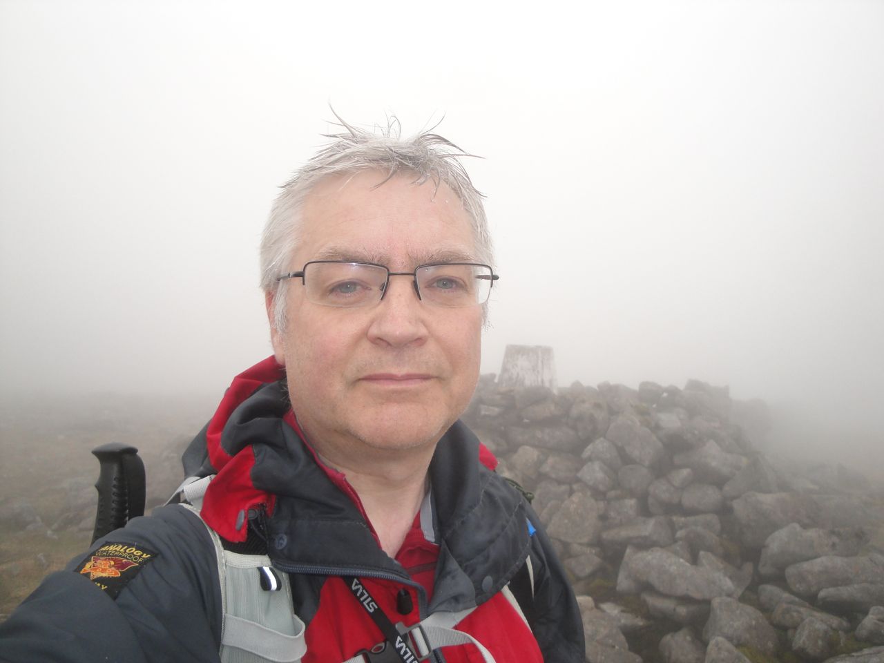
Cairnsmore of Carsphairn
I had thought I was in a pea-souper before but the slopes up to the summit of Cairnsmore of Carsphairn had even worse visibility. So I resorted to the “head uphill” navigation method. Soon enough the summit cairn emerged from the mist.
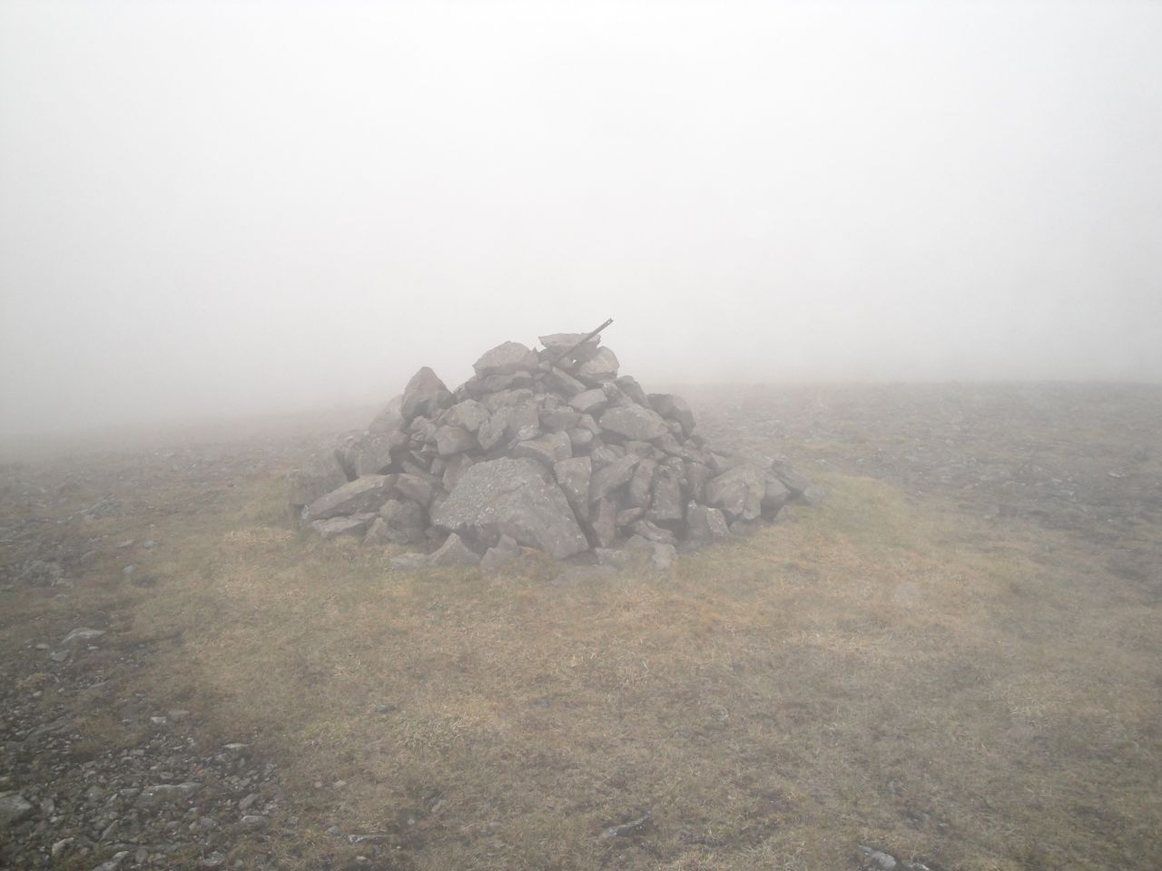
Cairnsmore of Carsphairn summit cairn
Cairnsmore of Carsphairn summit
The summit has a large cairn and a larger stone shelter around the trig pillar. The last time I was up here the visibility was much the same but it was snowing and windy. This time least the air was still and warm, if a little damp.
Throughout this walk I had had the sensation of rain falling on my face, my jacket was damp and my hair was wet enough to drip on the map holder when I looked at it, but any pools of water I saw were still, so I presume the water was precipitating on to me directly from the cloud.
Rocky way off Cairnsmore of Carsphairn
My way down from the summit was SW along the stone wall. The first half of the descent was steep and strewn with slippery rocks. By steep here I’m talking about OMK (Oh My Knees) steepness rather than OMG steepness. The lower slopes were less steep but very waterlogged. I managed to negotiate the steep ankle-turning rocky sections but came a cropper once I was in the lower squelchy zone.
Heading down to the Polsue Burn
The photo above, just as I emerged from the cloud, was taken a little before my unexpected tumble.
I was pleasantly surprised to find another new bridge, this one over the black waters of the Polsue Burn. Having spared my feet a dunking at the burn I then had to cross a section of semi-submerged sphagnum moss to do what the burn might otherwise have done.
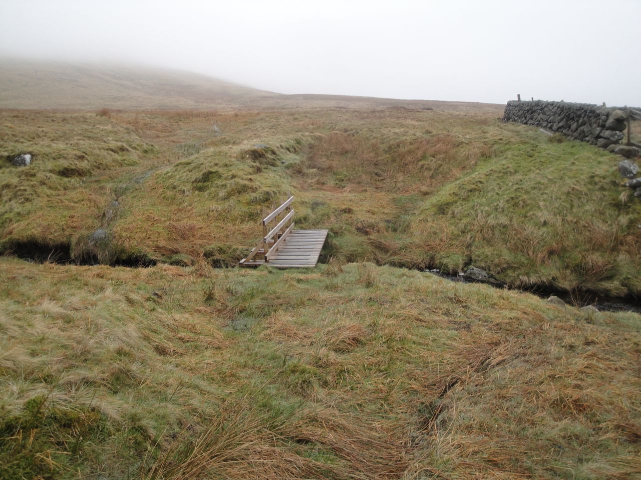
Bridge at the Polsue Burn
The final stretch of the walk was back along the farm track, this time skirting around the quagmire by the cowshed.
Water of Deugh
The way down Cairnsmore of Carsphairn on another day, the Rhinns are hidden in cloud.
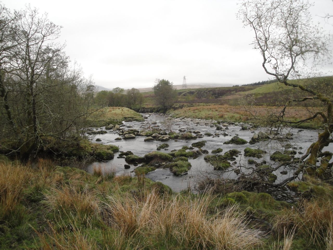
The views on this walk were somewhat limited so I thought I’d add this last photo taken towards the end of a similar walk in 2009.
Download file for GPS
