
12.5 miles 5h 30m 611m ascent
Trostan Hill-Windy Standard-Dugland
Dugland was No.133 on Percy Donald’s list of “two-thousand feet tops of the Scottish lowland uplands” but it has been struck from modern list now its height is reckoned to be 608m, and therefore below 2000 feet. That said, it still feels like a Donald to me and I wouldn’t feel I had completed the Donalds without including Dugland. And its only a wee hill after all.
Dugland and Trostan are admittedly awkward hills to reach, at least by Donald standards. They can be approached from the south (via Moorbrock, Cairnsmore of Carsphairn or the valley between them), the northeast (over Windy Standard) or the west (through Carsphairn forest) and I chose to walk from the west since I had not explored that area before.
From the A713 at Meadowhead there is a minor road that looks to have been the original A713. The OS map has a toll bridge marked on it but no toll is needed now. A branch of the road heads off across moorland to the Water of Deugh and then runs alongside the river. It was a slow drive with many the lambs on the road, but at least there weren’t any potholes. Below Shalloch Rig there a gated bridge barred the way, and though the gate was not locked, it was shut, so I took the hint and left my car beside the road where there is room for a couple of cars.
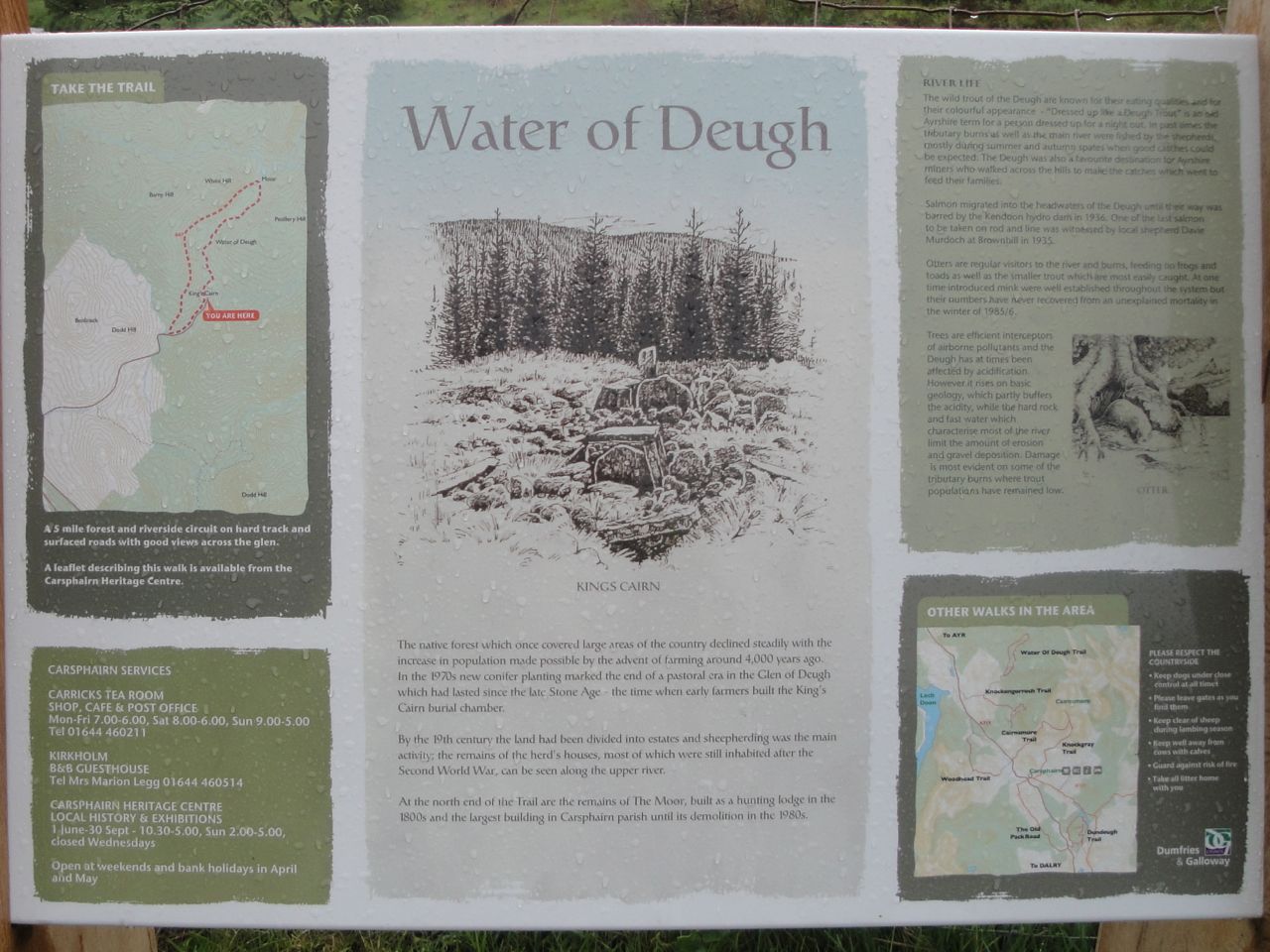
Sign by Water of Deugh
A small information plaque by the bridge has details of the Water of Deugh Trail (which has waymarker posts) and I followed the trail as far as Moor. I needed waterproofs right from the start of this walk and though the rain was mostly light drizzle there were periods when it was heavy enough to keep the camera packed away.
The first mile and a half was alongside the Water of Deugh which was flowing quite energetically with the rains. Craignane, a hill standing above the forests, was soon visible and grew larger as I made my way. At Brownhill there is a footbridge and an inhabited house on the opposite bank. The road became a track.
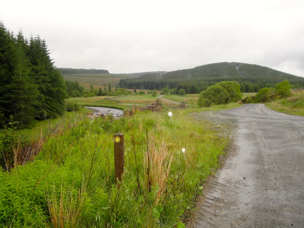
Water of Deugh Trail marker, above Moor
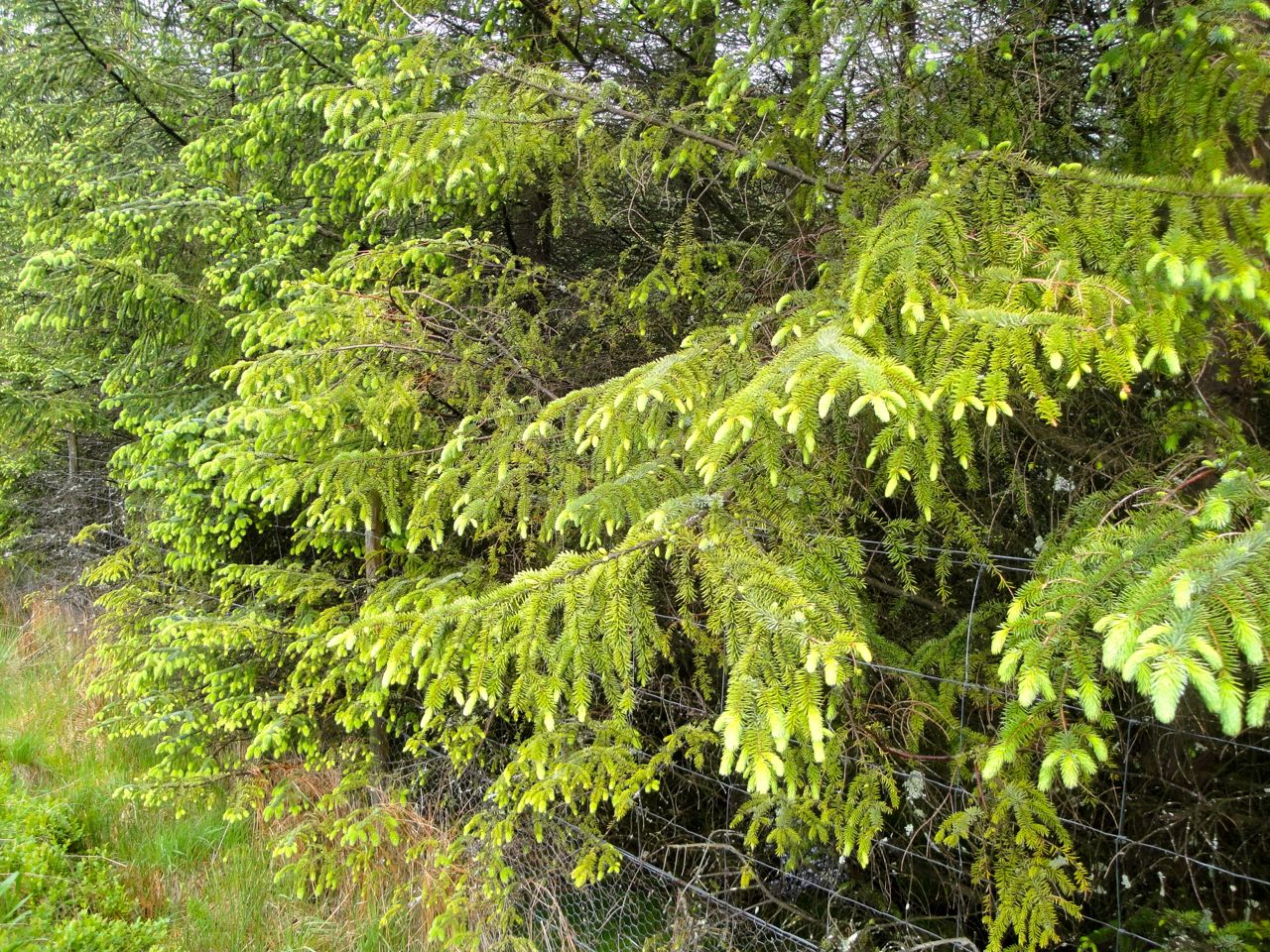
The next footbridge was a little before the uninhabited buildings at Moor. Here the Water of Deugh Trail crossed the bridge but I continued on the track towards Craignane. The track here was less used with fir trees encroaching upon it. The spruce had new growth of a much brighter green than the old needles and the pines new red growth, giving the trees the appearance of Christmas trees with lights.
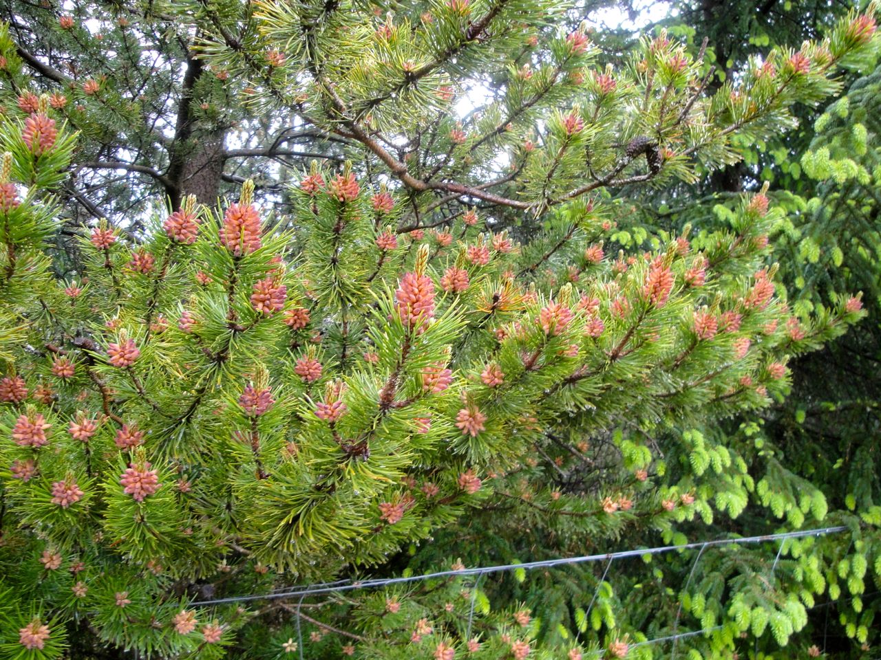
Pine with new growth
Spruce with new growth
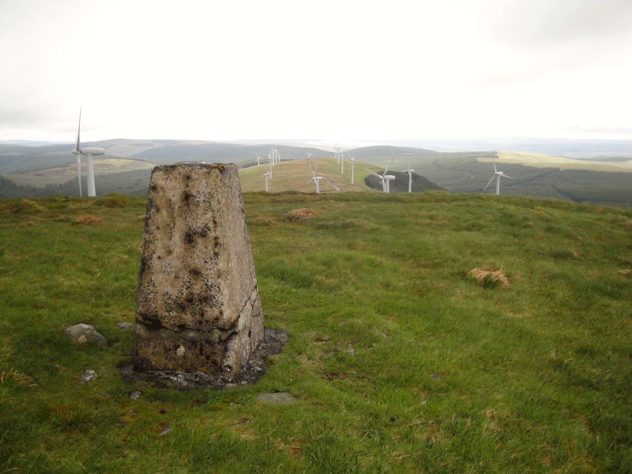
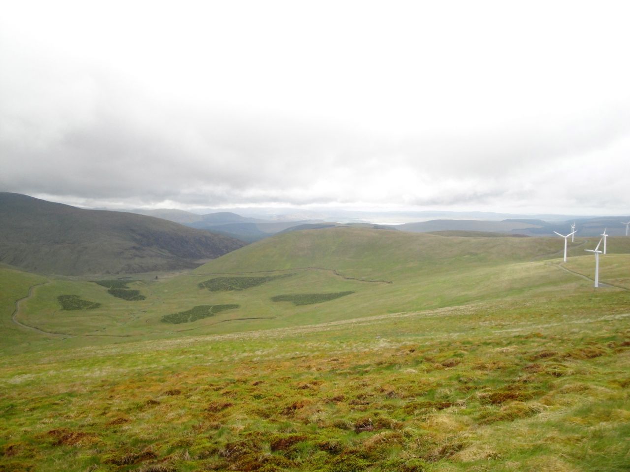
Below Craignane the path forked and I turned right and climbed steadily towards Polwhat Rig, the wind turbines coming into view ahead. There were a few deer about, and two stood right next to the track, so well camouflaged that I didn’t notice them until they turned to run away.
I had intended leaving the track near a quarry to climb through the trees and onto the rig but the forest had been felled and it looked as though the climb through the remains of the trees would be difficult. My luck was in though. There was a track, not shown on the OS map, running across the col below Polwhat Rig at the Craigs of Dunool. This allowed me to avoid the felled forest and make my way up instead through sphagnum moss and blaeberry, aiming for the nearest wind turbine.
Cairnsmore of Carphairn from Polwhat Rig
Once at the turbines I made use of the service roads and the steps of one turbine were my seat for a slightly early elevenses. I sat there in the rain musing on my summer attire of full waterproofs, multiple layers, wooly hat and gloves. The Southern Uplands summer collection.
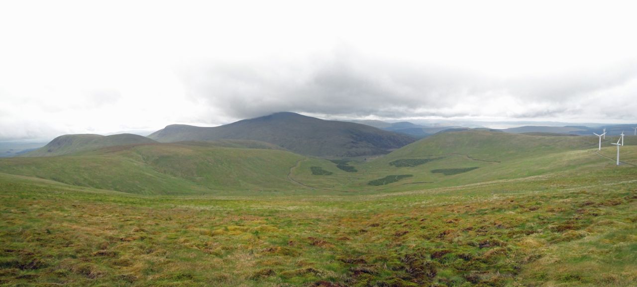
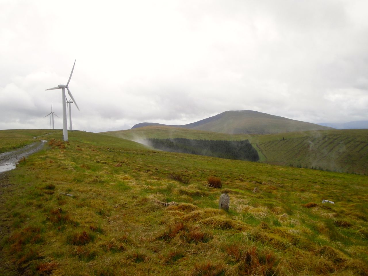
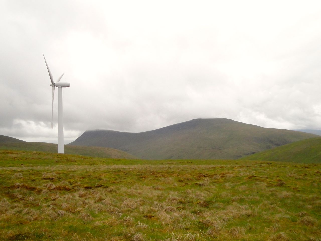
The road to Trostan Hill dipped and climbed across a col but I had to leave it for a while to wander about the various candidates for Trostan’s highest point. Trostan Hill isn’t much to talk of but does have great views of Moorbrock and Cairnsmore of Carsphairn, even the Rhinns of Kells appeared out of the mist every now and then.
Cairnsmore of Carphairn from Trostan Hill summit
From Trostan I thought I might head onto Windy Standard since it was only half a mile away. The road has a large loop to the north so I left it to head directly up the hill. The ground was quite boggy in places but there were enough firm sections to pick a way through.
Windy Standard summit
The last time I was on Windy Standard the going was tiring in snow but this time it was much easier reaching the summit. Unfortunately my arrival at the trig pillar was soon followed by a heavy rain shower so I didn’t hang about.
Dugland from Windy Standard
I then retraced my steps back to Polwhat Rig and on towards Dugland, sheltering in a small hollow beside the road for lunch. Back on the move I left the road by some rotting fence posts to climb up to the small cairn marking Dugland’s summit.
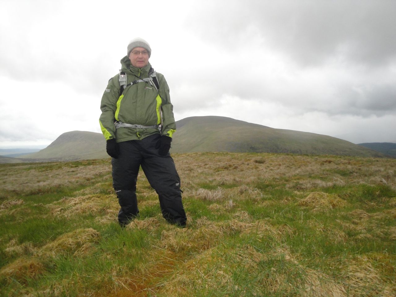
Southern Uplands Summer collection on Dugland summit
From Dugland I headed back down to the dilapidated fence. My plan was to follow the fence and continue along in the same direction when the fence turned. Had I continued on that line I suspect I would have rejoined the service road but I didn’t. It was becoming misty and I couldn’t see the expected road so I used a forest break instead. This meant that instead of an easy stroll along a road I found myself slipping down steep banks, tramping through boggy tussocks and fighting my way through dense branches. I was even fooled by a mirage of a path that convinced me to climb down 30m through steep boggy forest into what turned out to be Galloway jungle. I hadn’t brought the equipment required for that terrain, waders and a machete, so I was forced to climb back to the forest break.
Eventually I reached a quarry and a path back to the forestry tracks. I sat down on a wet rock, in the heavy rain, getting my breath back, too tired even for self pity but a rest, and a little food and drink worked wonders. That was the worst bit over, so I thought.
After 5 minutes the forestry track split, one branch contouring along Waterhead Hill, the other, which I took, heading down and running parallel but 50m lower. My plan was to take the third or fourth fire break down to Shalloch Burn, follow that to the Water of Deugh then north to the bridge where my car was parked.
Unfortunately, the forestry had felled the trees leaving a nightmare of mud, branches and bottomless pools. There was no sign of the ‘easier’ ground of the fire breaks. There was nothing for it but to look for a reasonable line and head across the harvested forest. Keeping close to stumps was helpful, the ground there being firmer and I managed to avoid falling despite several trips and slips. I was less lucky with the pools of water and got slightly wet feet. I am describing them as slightly wet now, though at the time I considered them to be very wet.
The line I had taken brought me down to the Water of Deugh about 400m south of the bridge where the car was parked. Had the river been lower and slower I would have been tempted to wade across and walk back up the road, but that was obviously not a safe option, so I headed along the bank. The ground was marshy but since I had wet feet I didn’t care so much.
The Shalloch Burn proved quite a problem though. It was full, and too deep to see the bottom. I walked upstream, though finding a way along the bank wasn’t easy, but I could not find anywhere for a dry crossing so I found a slow flowing section and lowered myself in to find how deep it was. It was knee deep so I waded across. Then I really had wet feet. The far bank, and that of the Water of Deugh proved slow going with steep slippery banks or dense undergrowth to choose from. Luckily I had a change of trousers in the car.
This could be a pleasant walk if not for the final couple of miles. It would probably be better to continue on the forestry tracks and cross the Water of Deugh at the next bridge, at Waterhead, an extra hour or so walking.
Download file for GPS
