
6.5 miles 564m 4h 33m
 Cairngarroch, Cairnbaber, Millfore, Millfore SW top
Another mopping up outing, this time for Millfore’s southwest top that I had gazed upon but had not previously visited.
I parked by the road just after the T-junction before Craigencallie House. Turning left here, away from Craigencallie, there is plenty of parking space near a quarry.
Looking up to Cairngarroch I considered heading directly up the slope from Bell Knowe. The vegetation by the track looked a little thick though, so I walked up towards Craigencallie hoping to find a better place to get on to the hill, but I was soon at Craigencallie so carried on up the drive. I had thought Craigencallie was disused but there were signs of habitation and I felt a bit uneasy walking past flower-pots and washing lines. I would skirt around the buildings and land if coming again.
Slopes above Craigencallie
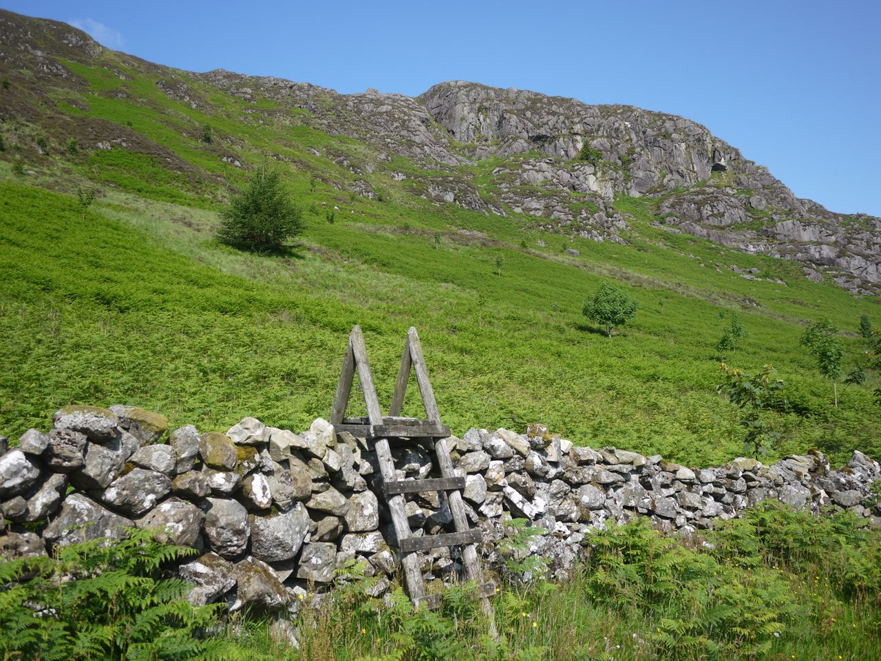
There is a ladder over the stone wall behind Craigencallie. The lower slopes were a gentle climb through waist-deep ferns. There was a faint gap in the ferns which turned out to be a watercourse, dried-up but eroded down to rocks, which gave me a firmer footing with less entanglements. Once I reached the rocky outcrops, the ferns gave way to tussock grass and heather and the gradient increased. I suspect his steeper section would have been boggy between the tussocks but the heat had left this dry for me.
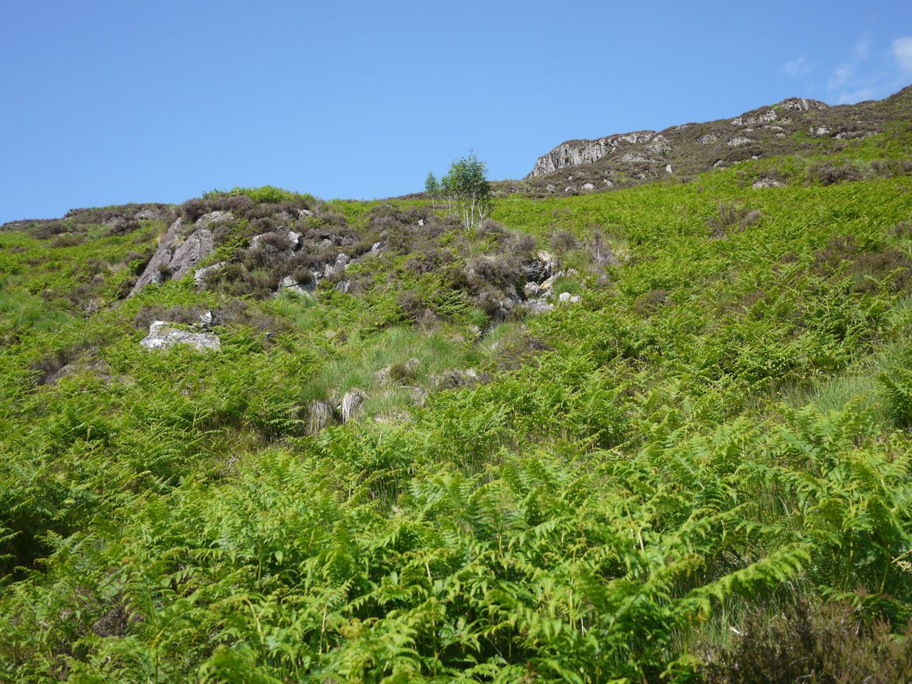
Terrain on the slopes of Cairngarroch
There was no obvious track through the steep heather and tussock-covered slope which proved quite tiring, but at least there were plenty of boulders to rest on. Unfortunately during my climb I was dogged by flies, which circled me like electrons around a nucleus, and clouds of midges, which found me strangely attractive. Whenever I stopped for a breather the insects in outer orbit came in closer to buzz me. My face was burning as I climbed and I wondered if I should put on more sunscreen, but then realised that the sun was on my back so the facial burning was heat rather than sun burn. My water was already warm by this time, so I was hoping that there would be some wind once I got onto the top.
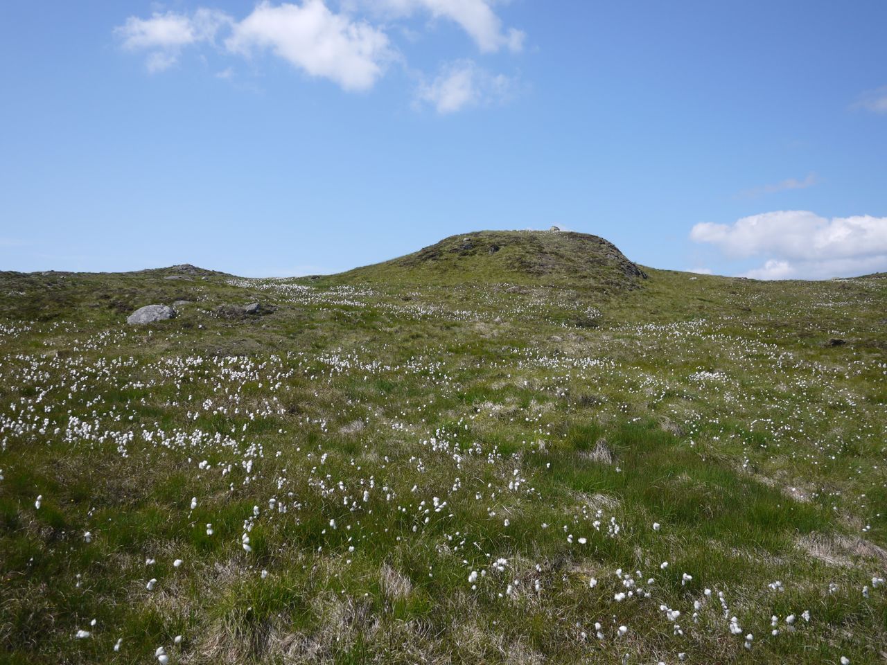
Cotton grass on Cairngarroch (that’s not the summit, just a knoll with an erratic)
Above the outcrops the hill opened into a flat bowl filled with cotton grass. Beautiful to behold, and all the more so since it was moved by a gentle, and cooling, breeze, but it is not called bog cotton without reason. This ground was squelchy with small areas of standing water. Each footfall, even on dried out moss, sank a centimetre or so, like walking in soft snow which I am sure increased the effort of walking.
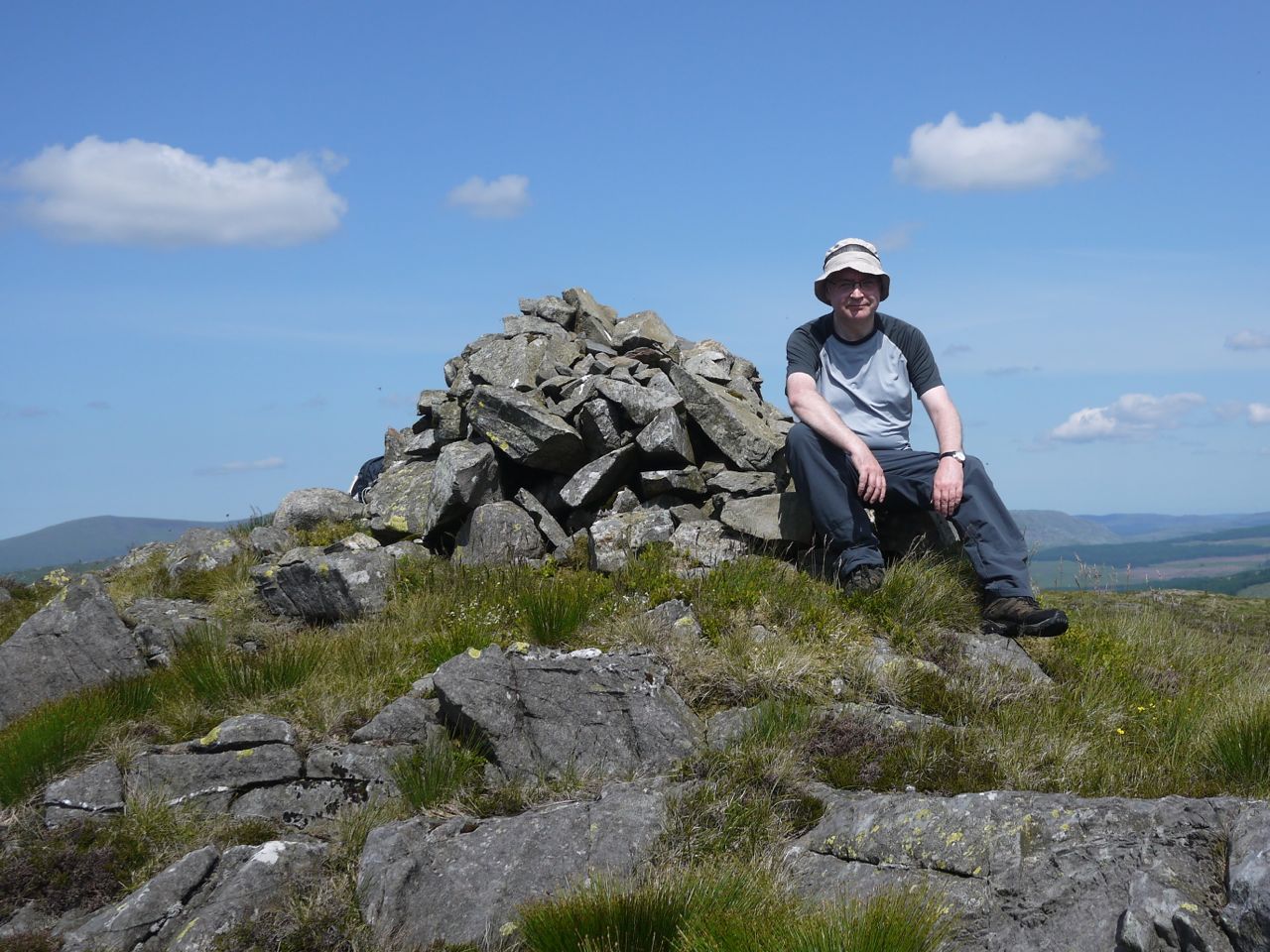
Cairngarroch summit (sunhat deployed)
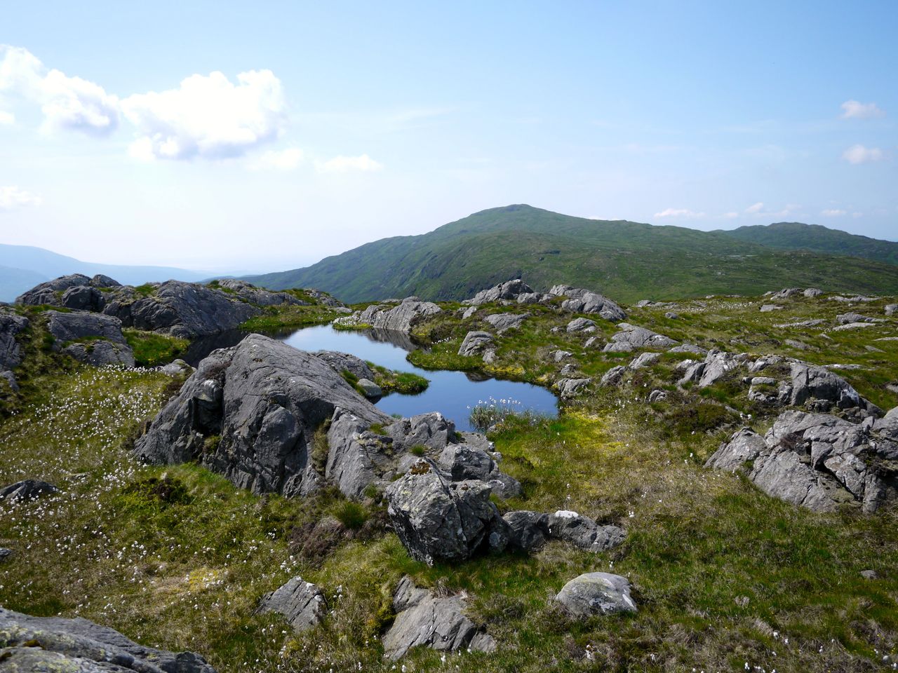
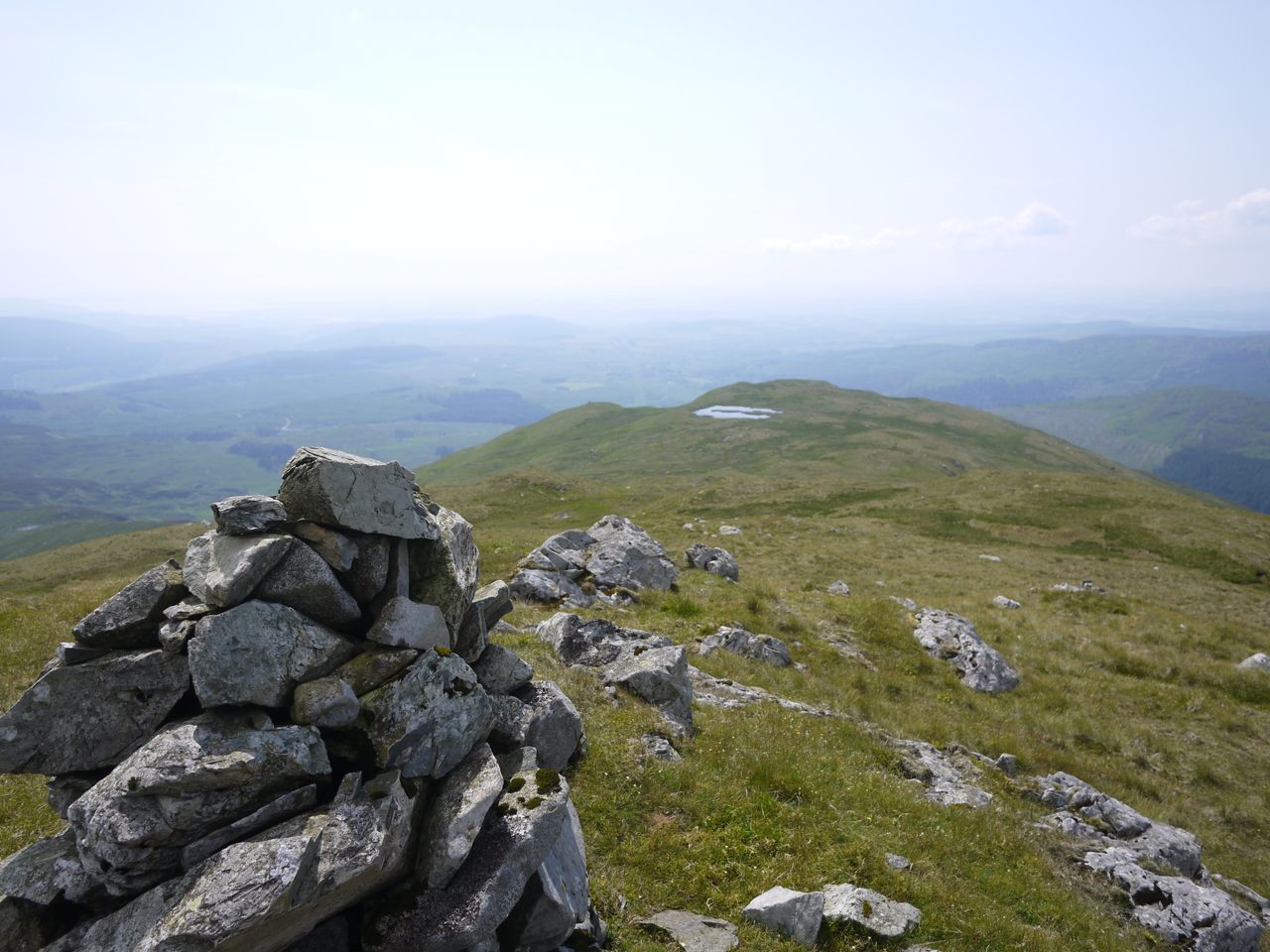
Cairngarroch’s summit is rocky outcrops and small lochans, and though boggy in places was much easier than the slopes and the faint breeze seemed enough to keep the orbiting insect numbers down. There were great views of the Galloway Hills and I spent some of my rest time looking at the The Dungeon Hills granite bright in the sunshine, the numerous small lochs and the mass of Curleywee. Millfore looked impressively large and, unlike most Donalds, has a pointed top.
I did wonder if another outcrop, by a lochan, was higher than the cairn and made my way over to check it out. It might have been higher, but it was far from certain and there was certainly not much in it.
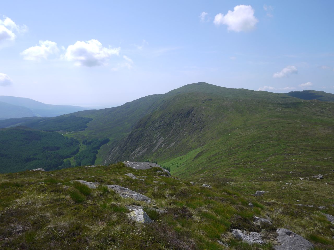
Millfore and Buckdass of Cairnbaber from Cairngarroch
The low ground between Cairngarroch and Cairnbaber is the Nick of the Rushes, so you can guess that it has boggy sections. Cairngarroch certainly lives up to its name, Carn Garrogh, Rough Hill, on the slope down to the col, with wild moorland vegetation between rocky outcrops. Half way up Cairnbaber there was a faint track which led to a stile over an old fence but petered out a little way past the fence. I presume that walkers choose their own course across the col but once they see the stile they all head for it. I am surprised that someone had put a stile there but I suppose it protects the fence.
The ridge of Cairnbaber (the Buckdass of Cairnbaber) is rocky knolls separated by boggy ground so I stuck to higher ground where I could, but there were often rocks to use as stepping stones in the boggy areas.
The final pull up to Millfore looked steep but was not too bad once I got there.
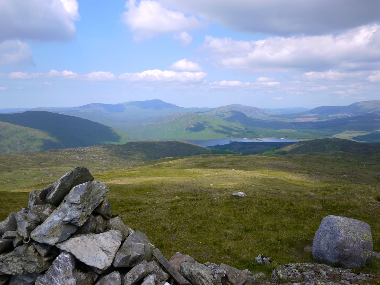
Galloway Hills from Millfore
White Lochan of Drigmorn
My last visit to Millfore had been in quite different conditions. The cloud had been low enough to limit the views and it had begun snowing while I was at the top. I had no trouble believing the derivation of its name as Meall Fuar (Cold Hill), but having seen how impressive Millfore looks from either Cairngarroch or the glen, I am inclined to give more weight to Meall Mhor (pronounced vore) meaning Great Hill. Cairngarroch certainly lives up to its name as a rough hill. Cairnbaber, I can’t find a meaning for, though the Buckdass is the “ledge of the buck”. Older maps have Cairnbaber as Garnbabbyir or Carnbabyirt, which hasn’t really helped me much. Cairn is obviously hill and I wonder having looked up at Cairnbaber from the glen, if the “baber” might have been bábhan, rampart. That would be a true description of the hill as looking like a rampart and it’s top a ledge with bucks. That would be a mixture of Gaelic and Norse but it wouldn’t be the first hill with a name of mixed parentage.
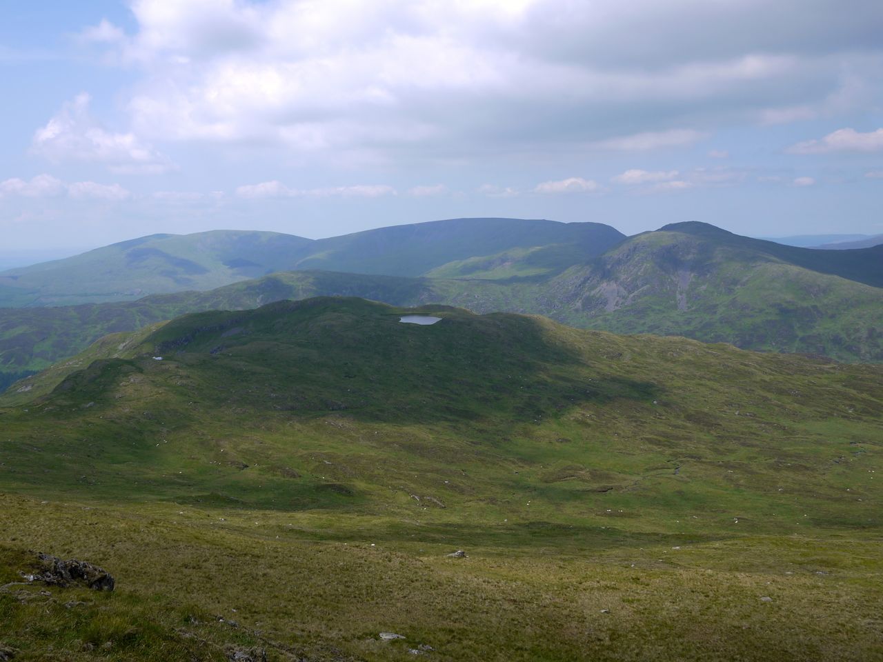
Fuffock from Millfore’s SW top
From Millfore’s southwest top I contoured around Millfore, over the flat section of Kirkloch Rig, and down towards a break in the trees below Munwhul. I took a photo of the slope down to the track but it didn’t capture the reality. The uneven, hole ridden, tussocks interspersed with frictionless ground look more like a sloping bowling green.
I had managed to get as far as the trees without wet feet but all good things come to an end. The low ground was tussocks growing from water and despite great care a stepped in one space that proved deeper than expected.
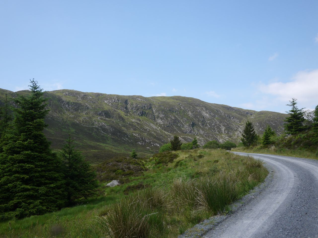
A forestry track led from there back to the car, and was downhill all the way.
Buckdass of Cairnbaber
Download file for GPS
