
7.9 miles 3h 21m ascent 557m
 Birks Hill, Birkscairn Hill, Glensheil Banks
"And birks saw I three or four,
      Wi' grey moss bearded owre,--
    The last that are left o' the birken shaw,
      Whar mony a simmer e'en
      Fond lovers did convene,
    Thae bonny, bonny gloamins that are lang awa'
This walk started on the road from Kirkhouse up towards Glen House. Parking wasn’t easy and I thought I might have to leave the car at the church in Kirkhouse but managed to squeeze it at the side of the road a little closer.
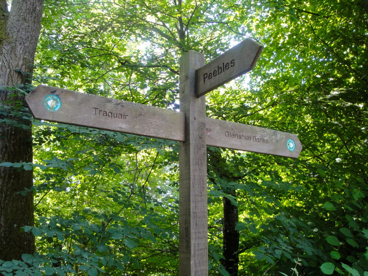
At a Tweed Trails sign, I followed the track signed for “Peebles”. This leads up towards Birks and gives the first views of Birks Hill. The OS map shows a path turning left towards the house at Birks but the Tweed Trail turns right through woodland and then drops towards the Glass Burn.
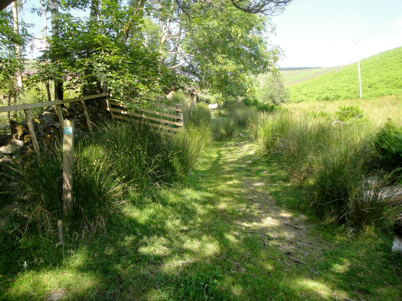
Tweed Trail by the Glass Burn
From here I headed north, still on a definite path, but one obviously not much used. There had been some tree-felling and by a felled field, filled with foxgloves, some rustling in the ferns beside the track turned out to be a deer that stood watching me for a moment before bounding off. The next rustling was a sheep. I don’t usually expect to see them in the ferns.
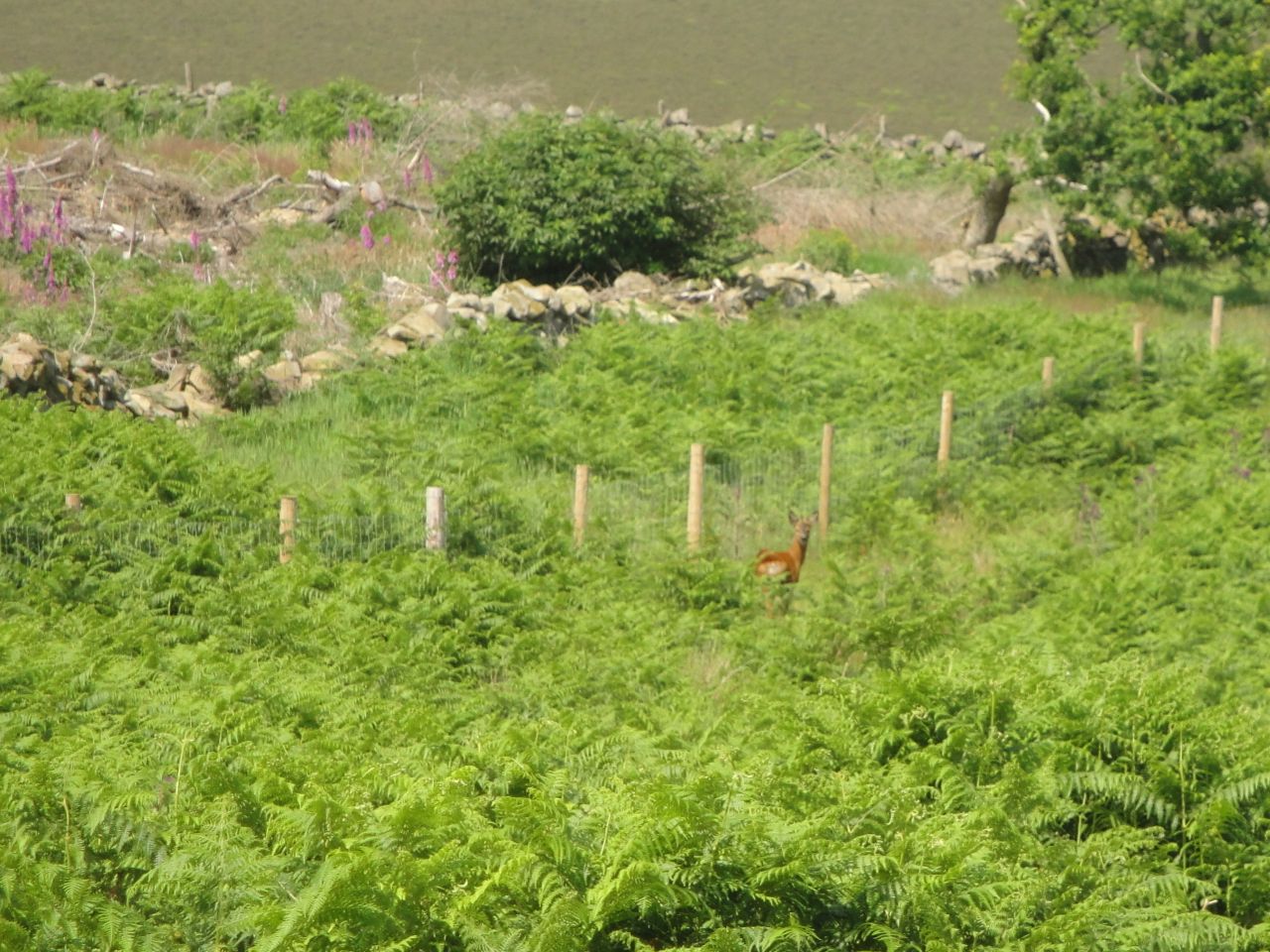
Deer at Birks
The path petered out and I set out across a field of ferns which then gave way to rushes. I expect this section could be wet but in the midst of the heatwave it was dry. At the boundary between fern and rush was a substantial stand of nettles, which made me regret wearing shorts. I hesitated briefly then pushed on through (a true adventurer?). Much to my surprise they didn’t sting.
After the rushes I met a well worn track that led to the col below Birks Hill. The track continued around Birks Hill climbing slowly onto its northern slopes. I left the track at its highest point, where there was a Tweed Trail marker post, and headed directly up the slopes. There seemed to be a swathe of grass through the heather, which I presume must once have been burned a few seasons ago, and that made the going easier. I met a track coming from the NE which made me wonder if I had missed a direct route up from the col. There are a couple of small cairns on Birks Hill. One might be the summit though to my eye an un-cairned rise to the SW looked higher.
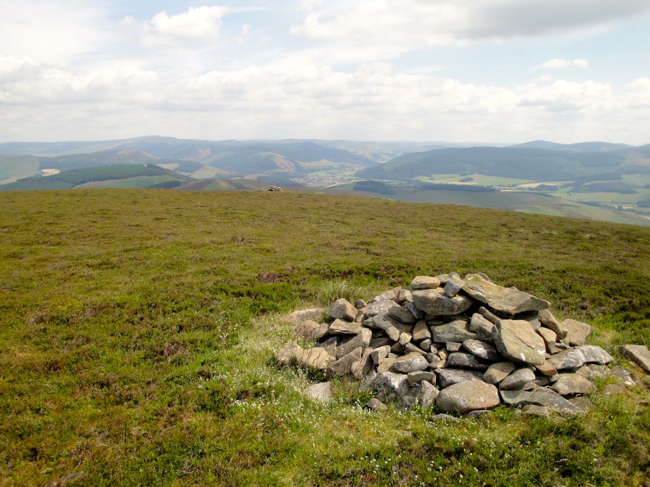
Birks Hill
A faint track led across a dried-up bed of moss in the col and up to Birkscairn Hill where there was a cairn big enough to sit on for lunch.
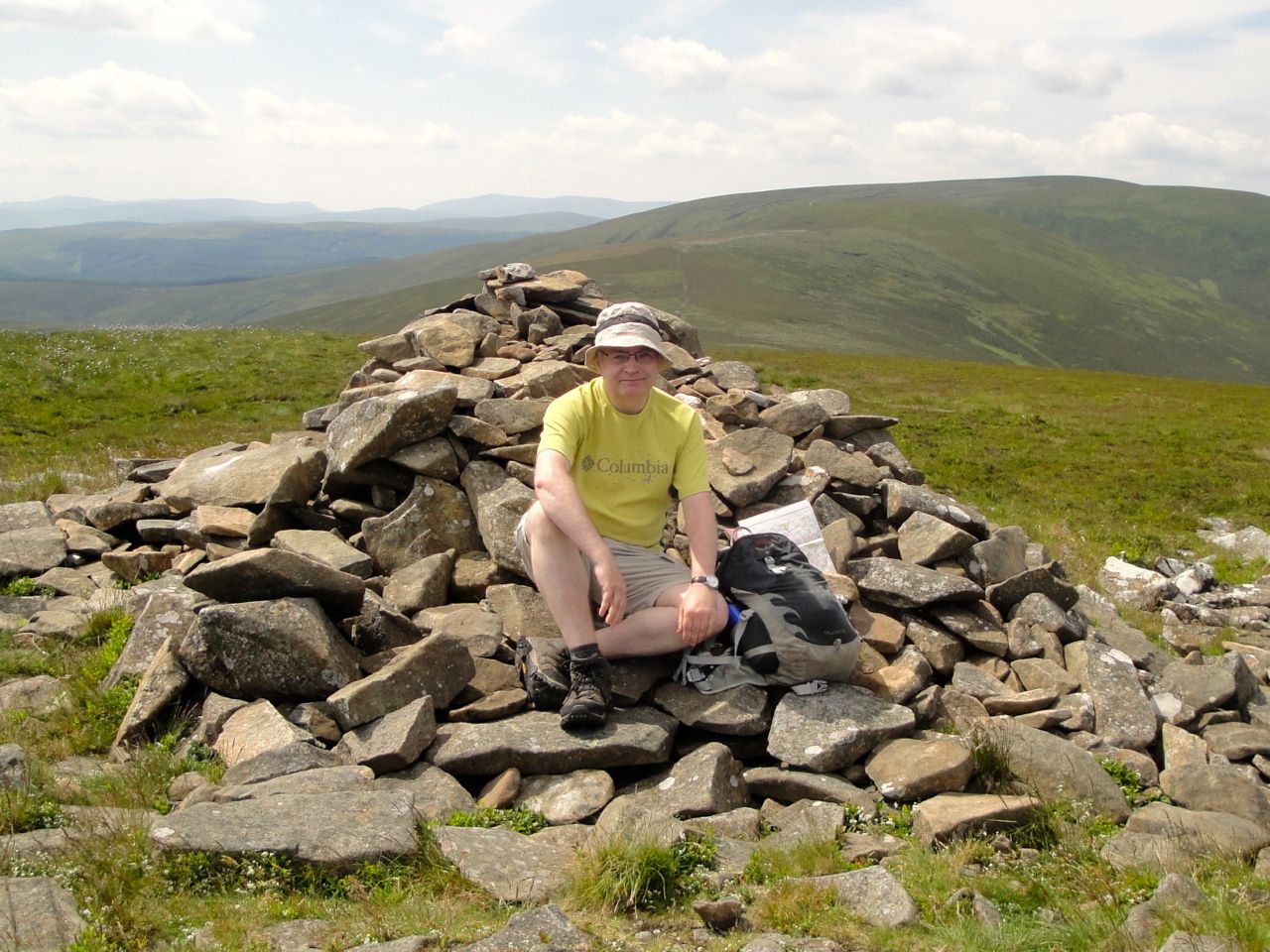
Birkscairn Hill
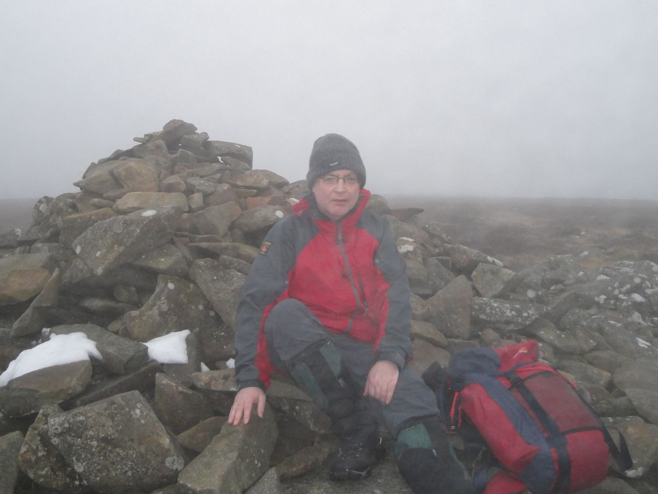
Birkscairn Hill, on a different day.
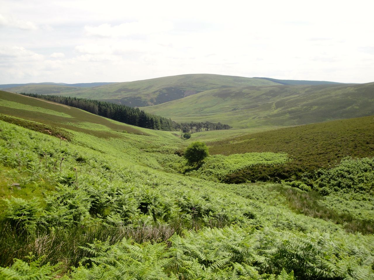
From Birkscairn Hill I walked down and joined the Old Drove Road which is now just a faint track. This took me over the shoulder of Stake Law and across two wee burns. Though it must be well over a century since the drovers used this pathway it still remains and must be kept in existence by occasional walkers. It is certainly a pretty glen to walk in though the ground looked as if it could muddy up with a little water. Once I could see Glenshiel Banks I headed directly down the slope towards it.
Banks Burn, Looking down to Glenshiel Banks from the Drove Road
Glenshiel Banks is enclosed in a stone wall. A small cottage is obviously still used and a ruined building stands nearby. There is a bridge over Banks Burn which is a major tributory of Quair Water. From there it was a slightly monotonous farm track back to the start. But the hedgerows were brimming with plants and butterflies and there was a good view of Loch Eddy nestling in its deep glen. A future outing perhaps.
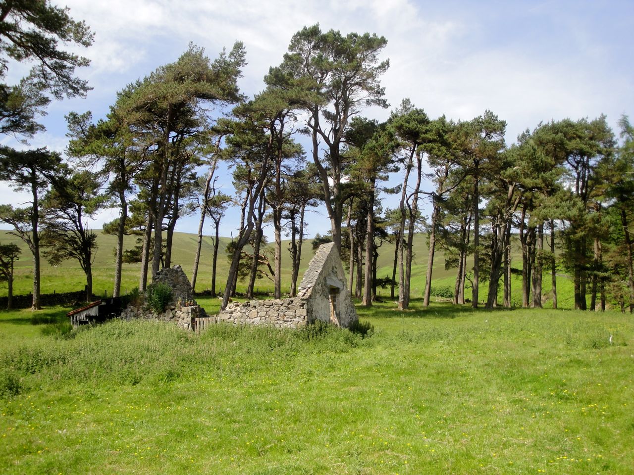
Glenshiel Banks
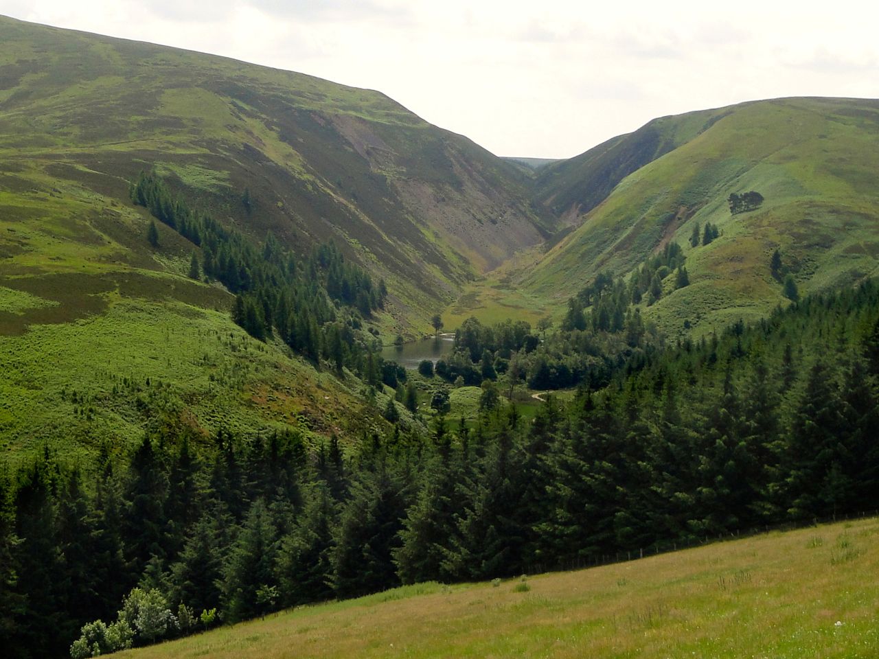
Loch Eddy, Glendean Banks
Download file for GPS
