
 7.31 miles 2h 45m 531m ascent
Wanlockhead nestled in the green-brown mist covered hills smothered in drizzle. We swaddled ourselves in waterproofs, spied the southern upland way sign and set off up the track.
The rain gradually changed to sleet and then to snow. The ground from green to white. The SUW track crosses a road several times and as we climbed higher the road became white with accumulating snow. Initially thin enough to allow the white road markings to show through but soon hiding them completely. By the time we reached the summit of Lowther with its golf-ball radar we were in a winter wonderland.
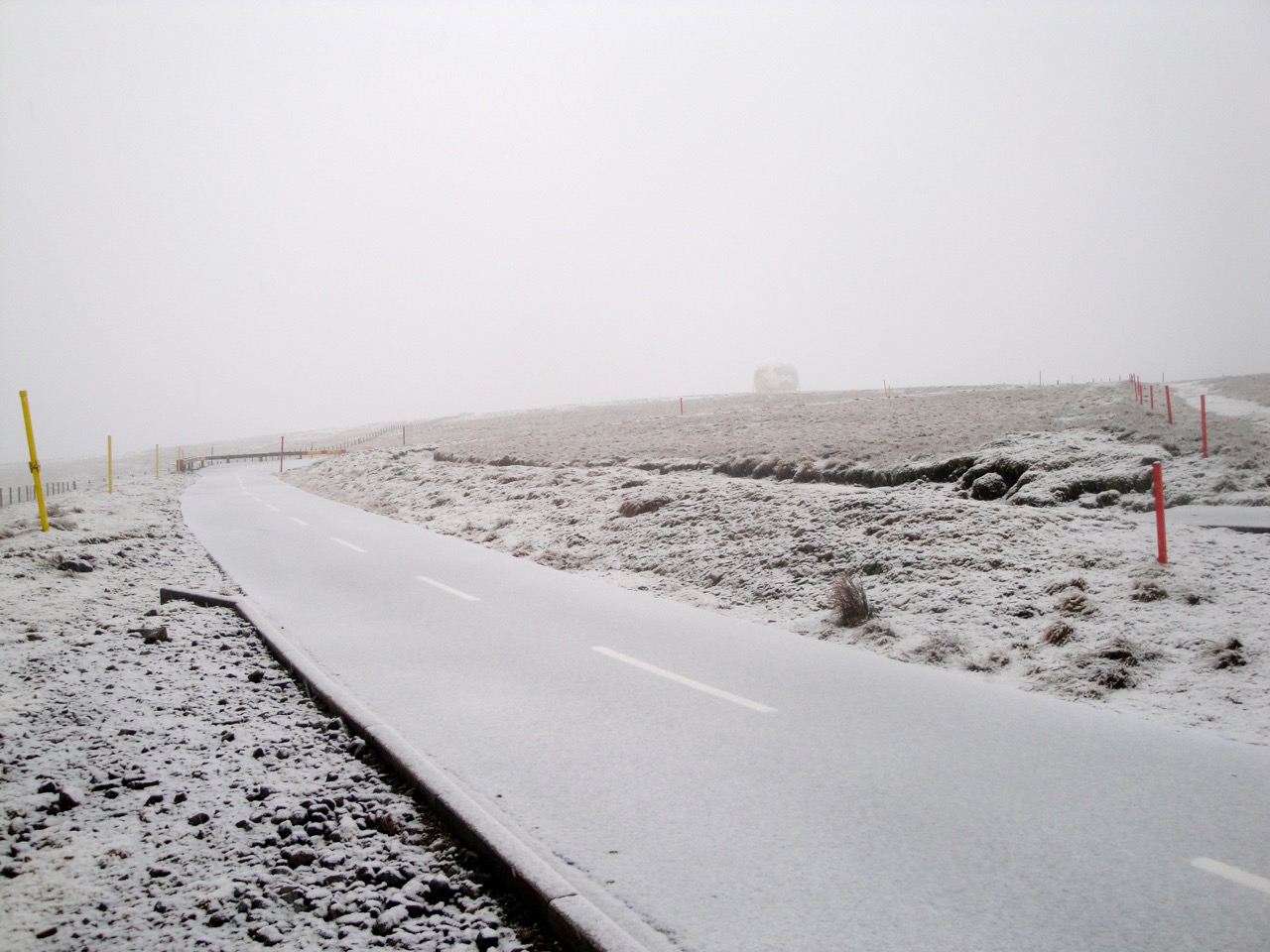
Road to Lowther
The road from Lowther to Green Lowther is in the picture above.
This walk has well defined paths. The SUW joins the vehicle track to Lowther’s radar station which then goes on to Green Lowther. Sadly the visibility was poor, so we might need to return on a day with blue skies.
We retraced our steps to Lowther, ours being the only footprints in the snow. On the way back down from Lowther, a small track leads off across a col and up to Auchenlone (East Mount Lowther). Auchenlone has a viewpoint marker at its summit pointing to various hills but they were all hidden in mist.
It would be a good walk for the Summer.
