7.74 miles 5h 9m ascent 252m
The Ordnance Survey shows a footpath between Polmaddy and Carsphairn. For more than 500 years it was part of the main route through the Glenkens to the south coast. It was once part of a network of routes across SW Scotland bringing pilgrims from Glasgow and Edinburgh to the cradle of christianity in Scotland at Whithorn. King James IV used the route to visit the shrine of Saint Ninian in the 1490s. But with construction of the turnpike (now the A713) the old route fell into disuse. With forestry planting and upland land improvements in modern times the path was beginning to disappear. Parts had become impassable. The Glenkens Pilgrims’ Way project spent three years rejuvenating the route and reopened it in 2020.
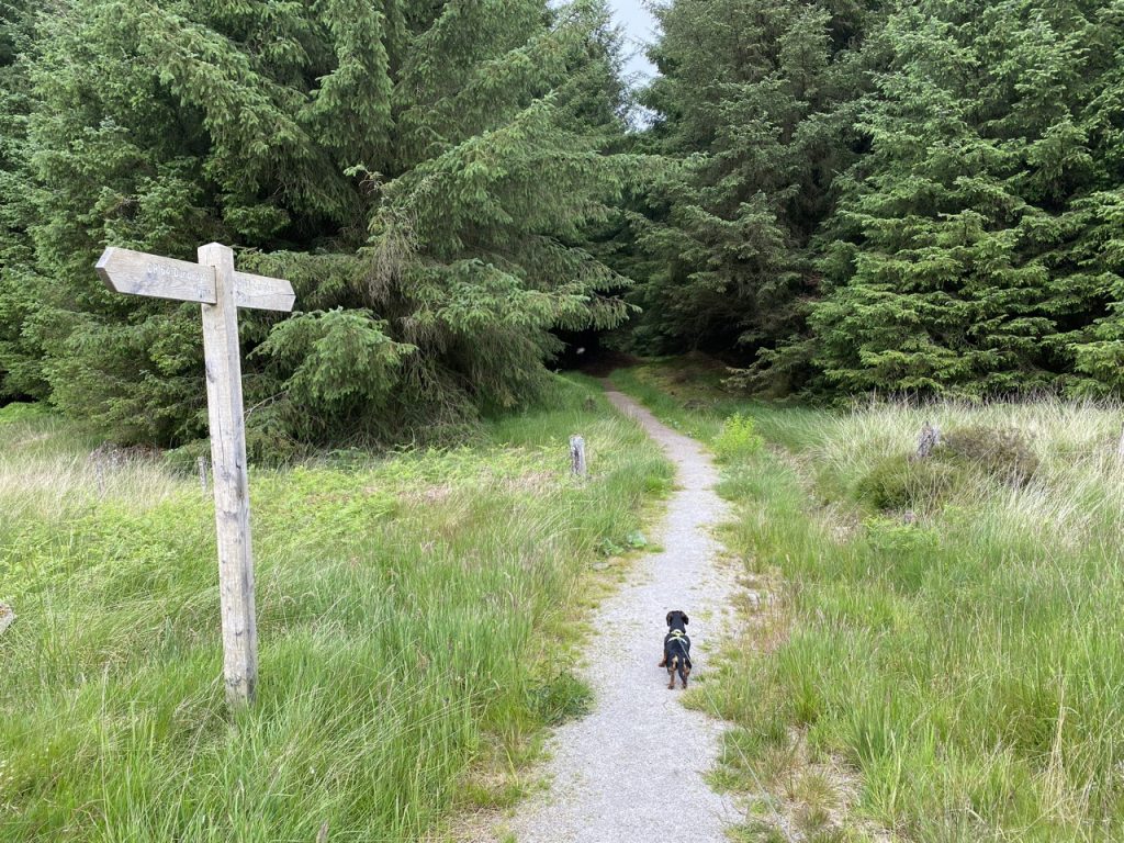
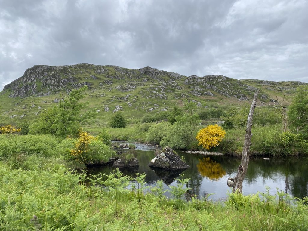
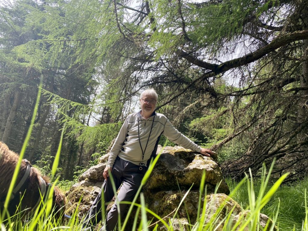
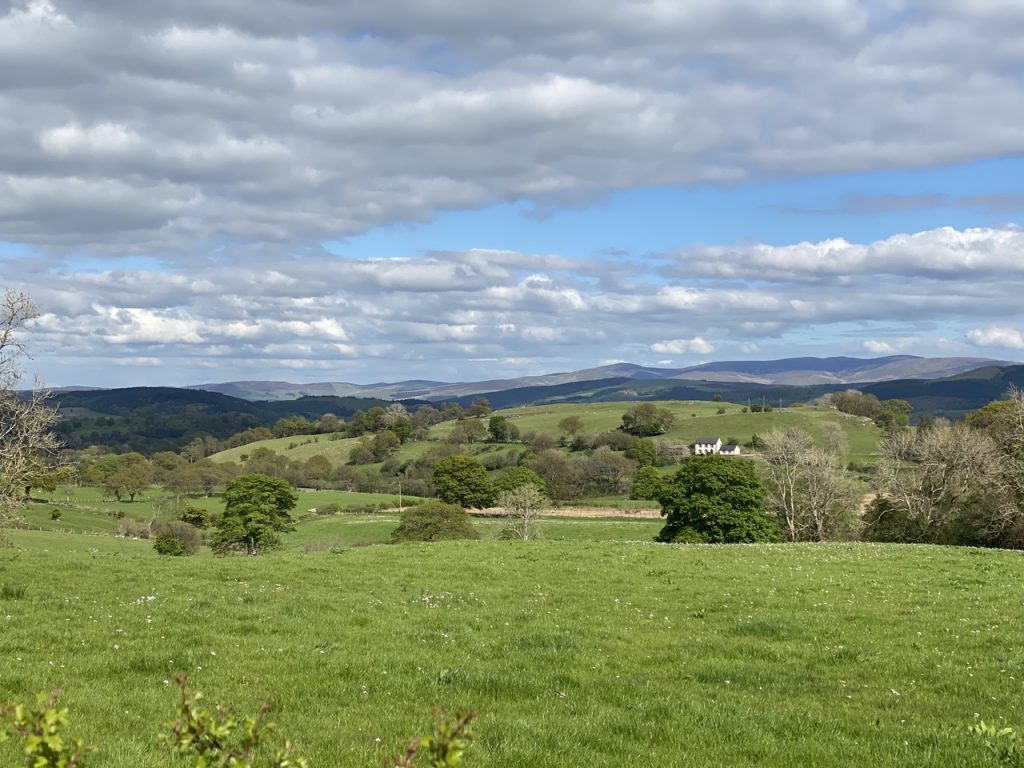
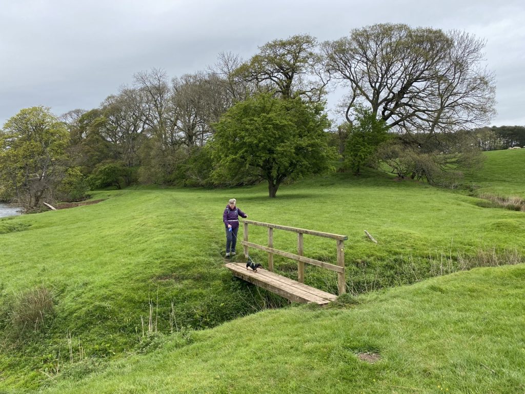
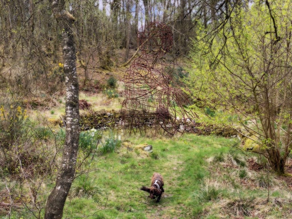
The Glenkens Pilgrims Way runs from the abandoned settlement at Polmaddy to the bridge just south of Carsphairn. Our plan was to visit the ruins at Polmaddy and walk the Way, there and back. Fallen trees meant the path proved a little more trying than it might have been. To be fair, the Forestry Commission website had said the path was closed by storm damage. We did manage to scramble over, climb under or find a way around the fallen trees but it slowed us down quite a bit and when we reached Bennan, the wee hill above Carsphairn, I decided to forego the final walk down the hill (and the enevitable re-ascent). So we turned back and retraced our steps.
Continue reading