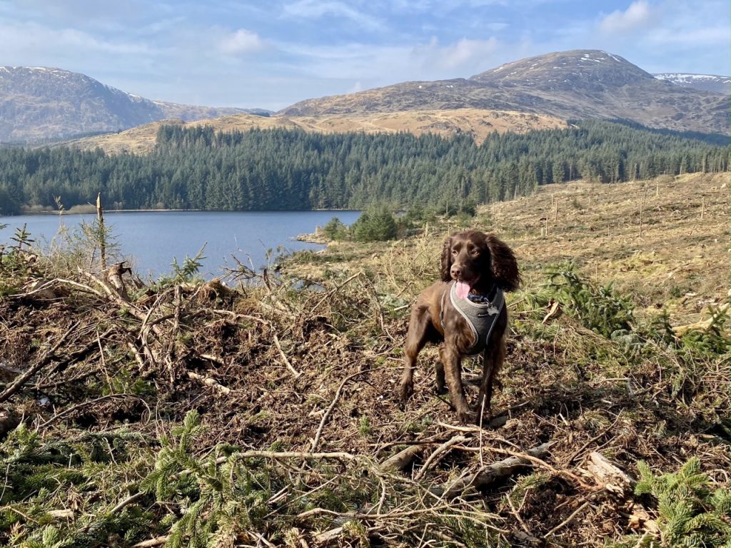
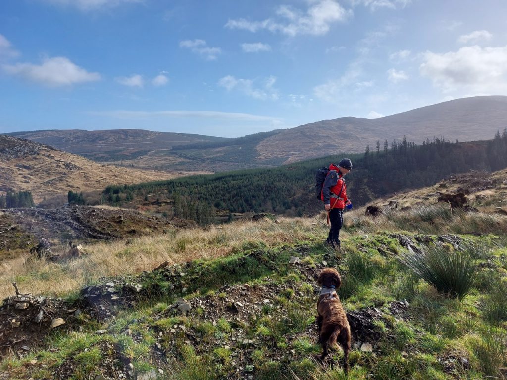
7.35miles 3h 1m ascent 195m
Armathwaite-Old Town-High Hesket-Low Hesket
“The initial idea was to create 19 memorial sites throughout the UK (19 being the significant number relating to Covid 19). The sites will provide an eternal living memorial, a focal point, place of comfort and solace to those grieving for the loss of their loved ones. Places to relax, reflect and remember. I would like to ensure those friends, family members, acquaintances, we have lost are not in vain, they are not just a number or a statistic”.
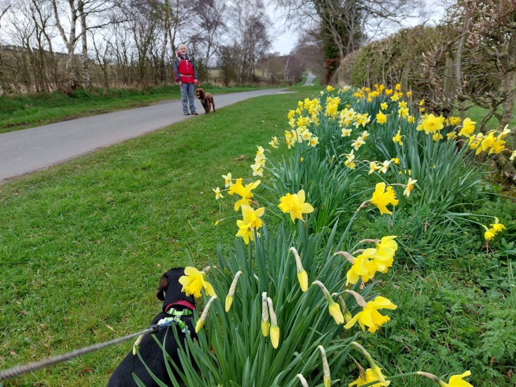
“The route will be approximately six miles long, meandering through several villages and will be marked by several areas of daffodil displays, memorial benches, and sculptures along the way. Whilst this is a stroll it is along country lanes, therefore, will be accessible on foot or by vehicle, and has public transport links at Low Hesket and Armathwaite. Daffodils are symbolic of the time of year when we started ‘Lock Down’ in March 2020. People were coming out of their houses to take their daily exercise along these lanes.” Belinda Fox and David Ryland, 2020.
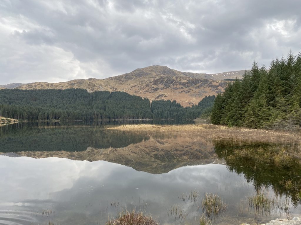
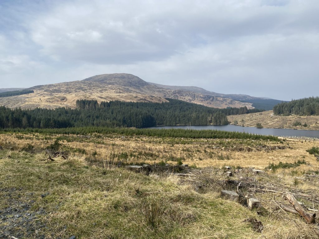
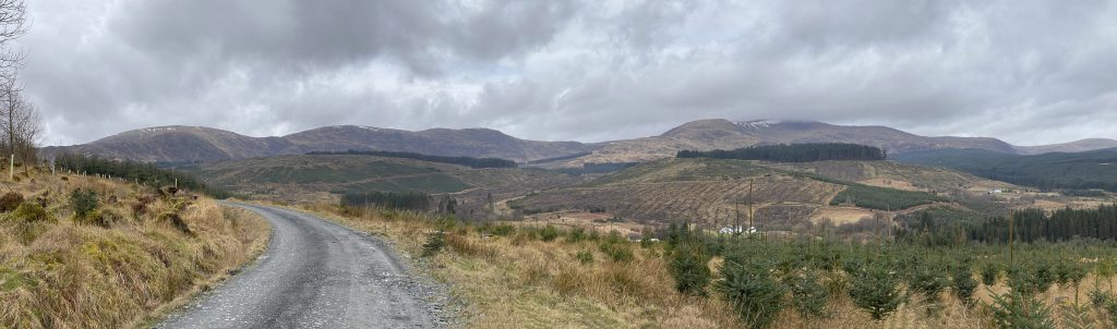
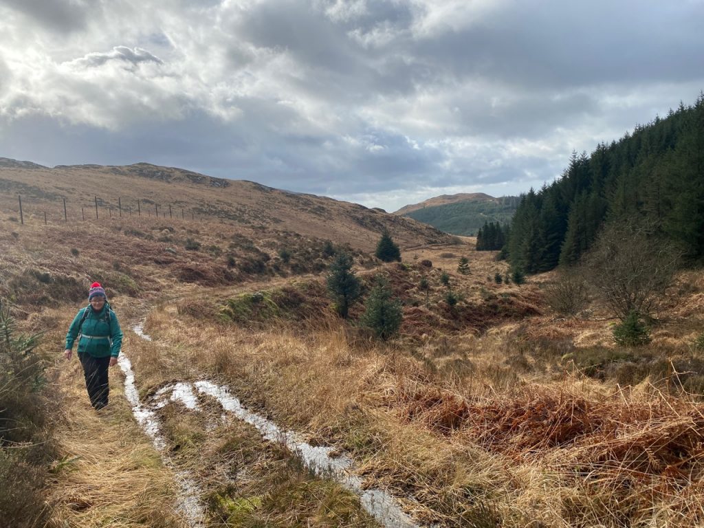
The memorial is still in its early stages. It certainly has plenty of daffodils of many varieties. There are several benches along the way, some dedicated to specific people, others embossed with “2000” and presumably dating back to the millennium celebrations. But no sculptures as yet. The route is mostly on quiet country lanes, with only short sections on the pavement of more major roads. There are local bridleways and pathways that might have been used instead of roads but I understand the aim was to have a route suitable for walkers, cyclists or even drivers.
Continue reading