
8.04 miles 3h 18m ascent 201m
Clatteringshaws-Black Strand (and back)
To every choice there is a purpose. But such purposes can slip one’s mind. We had paused our planned walks along the Eden Way for the winter, choosing instead to walk on firm ground such as forestry tracks. This section of the Old Edinburgh Road, between Clatteringshaws and Black Loch, has the OS map symbol for “other road track or path, unfenced” and though much of it is freshly surfaced forestry track suitable for heavy vehicles, the first 200m from the loch is unmaintained overgrown and in places waterlogged, while the track beyond an old quarry below Brockloch Hill is trying to pass itself off as a waterway. Had I remembered the purpose of choosing Forestry tracks for our Winter walks I might not have ventured onto the wilder sections until the winter wetness had passed.
I decided to walk from the car park at the end of the Raiders’ Road, to add a little mileage and as it turned out that was a good decision, though not for the reason of mileage. The parking by Pulran Burn was all taken and there was a JCB on the single track road digging ditches.
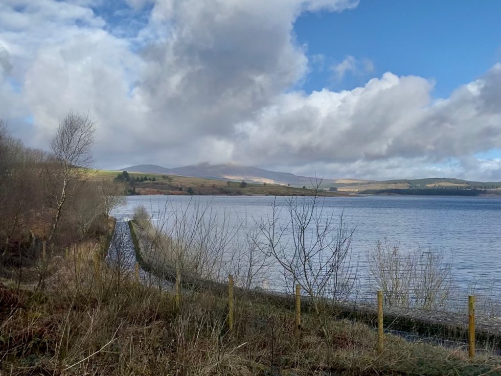
The picture above shows the outflow from the Pullaugh Burn abstraction dam. So this water has somehow run beneath the A712 and yet still gets up here to the reservoir. There was certainly a fair flow of water and signs warning of its fast flow.
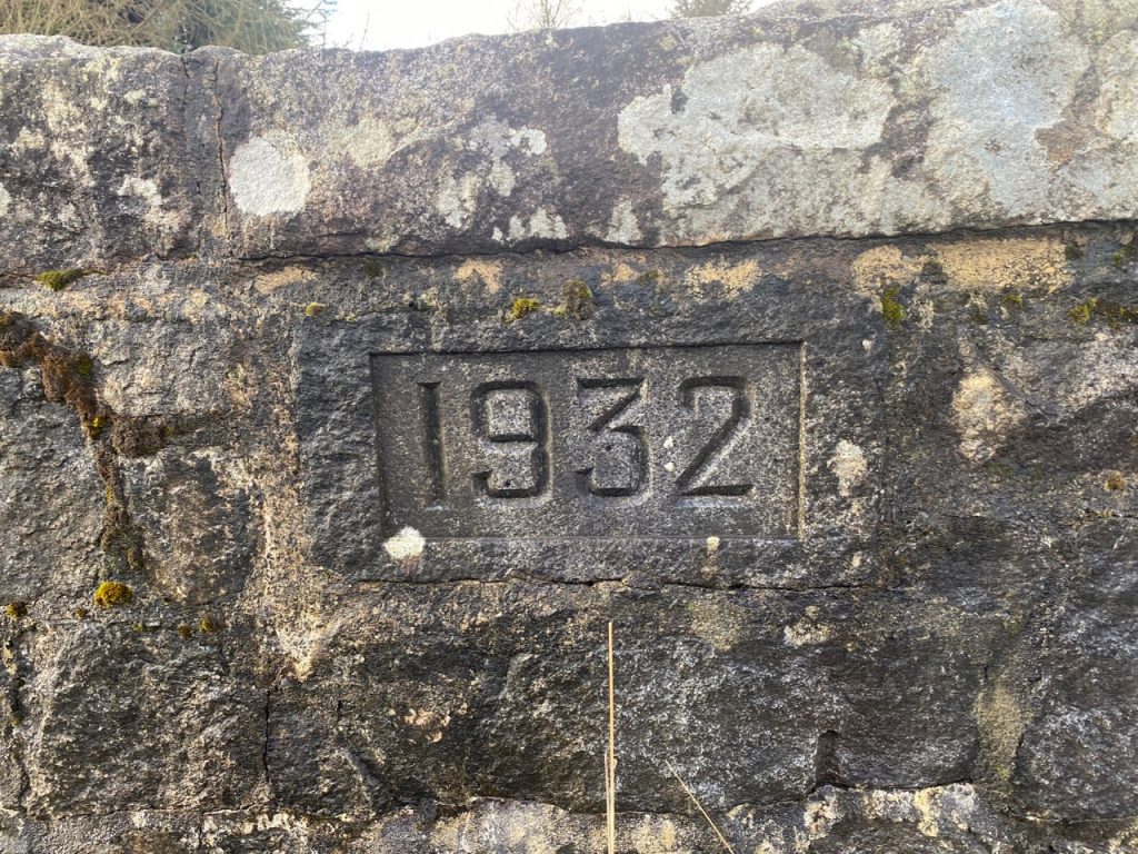
The JCB driver reversed a little so we could squeeze past with having to swim the flooded ditch or sink in the newly dug mud and we came to the small bridge over the Pulran Burn, noting that the parking space was full. But failing the notice the track behind the cars. Instead I was looking at the loch, the burn and the bridge, with its inscribed “1932”. Pulran, pol rathain, means stream of the ferny place but perhaps that describes somewhere else in place or time.
After the bridge we turned left up the first track, the one that climbs up towards Craignell and it struck me that this was not where we were supposed to be. Neither of us had noticed a track before this, but there was one marked on the map. We pressed on following this track back down across the Pulran Burn to rejoin the route of the Old Road.
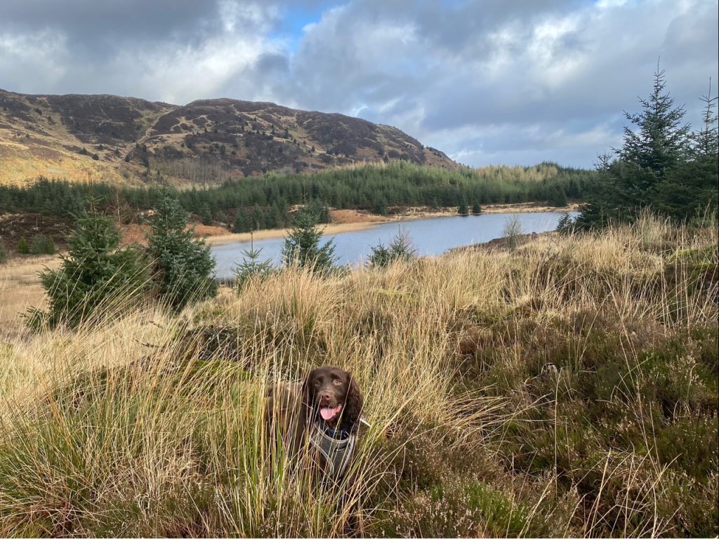
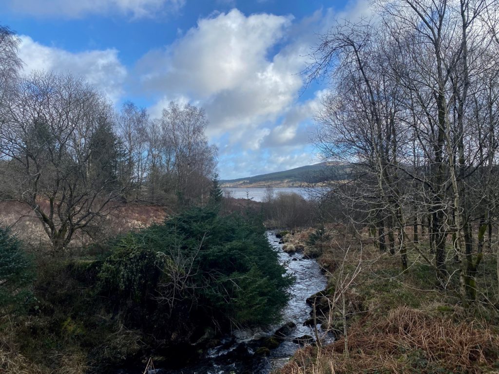
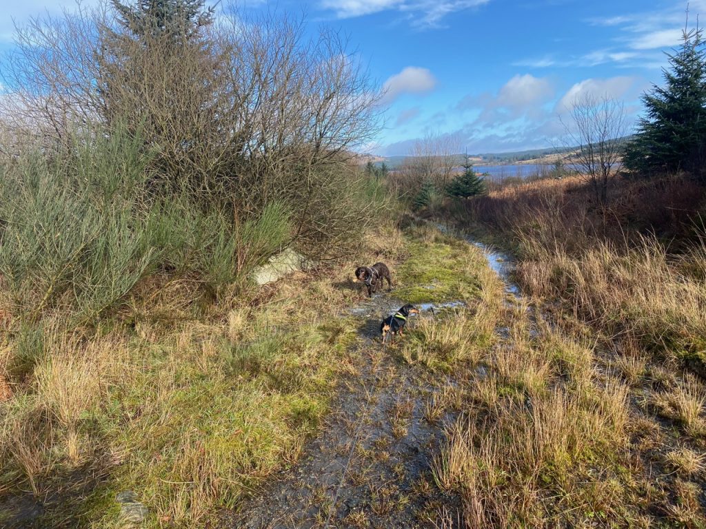
Back on track, we walked on with Craignell as a backdrop. The trees initially hid Lilie’s Loch from us but as you can see, it eventually showed itself. We were too far away to see if it had any lilies, but there were plenty of rushes and reeds.
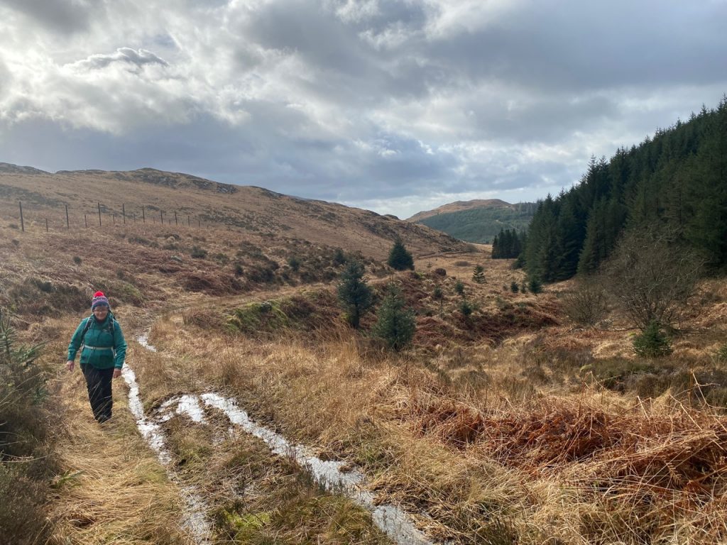
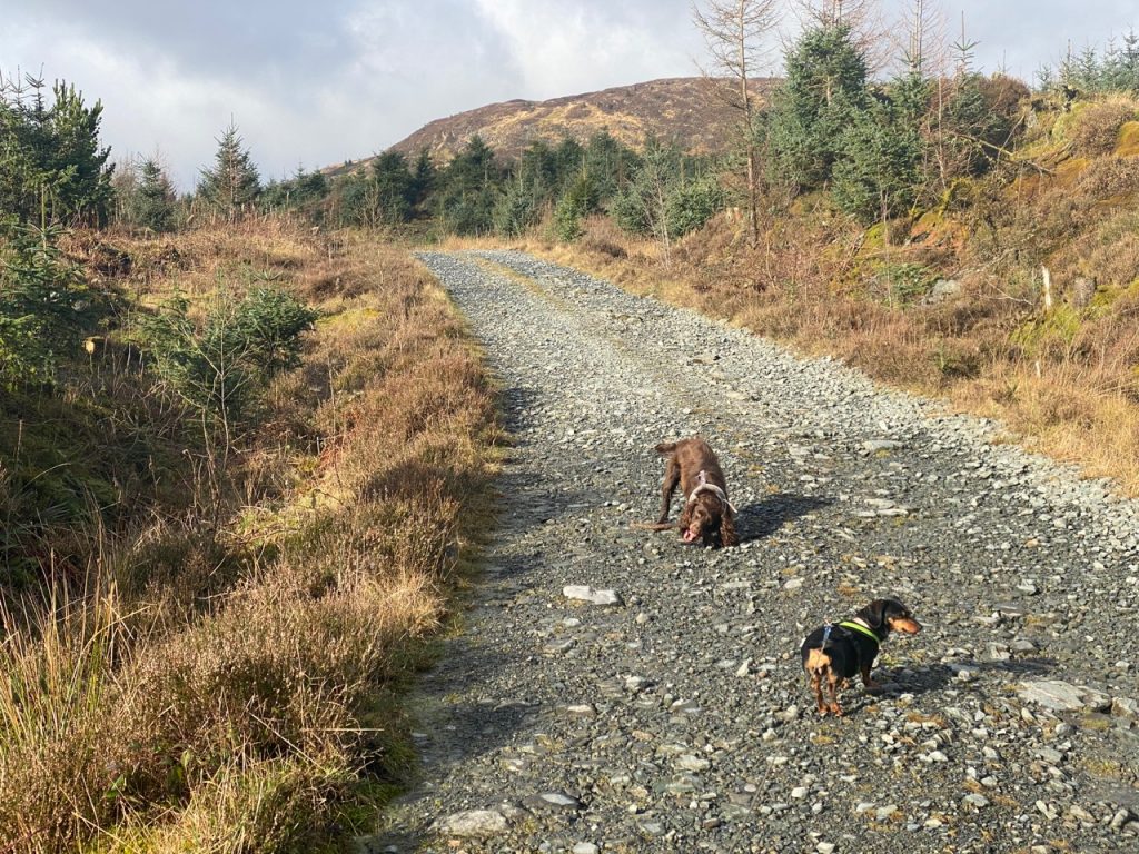
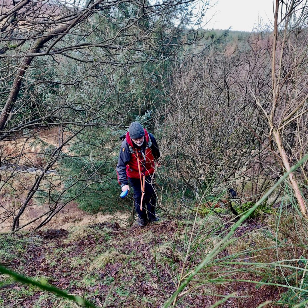
The forestry track eventually comes to an old quarry. Another track, signposted “Edinburgh Road 1”, heads off the right, towards Tonderghie Hill while the route of the Old Road carries straight on. So we left the firm gravel tracks for the unimproved path. Mud, puddles and standing water tried to dissuade us, but once across that it was just wet with running water. At first.
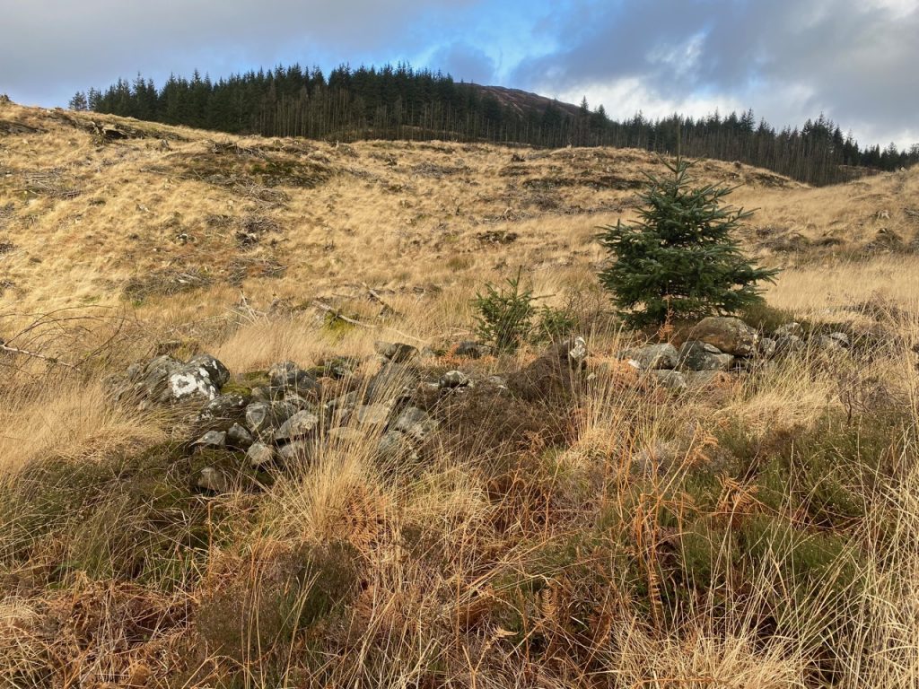
A tumbled down wall ran beside the track and sad to say I gave it little attention but on the OS it is labelled as “Deil’s Dike”. According to the OS name book “it is visible issuing out of Loch Ryan… traversing Galloway for about 50 miles over hill and dale, enters Dumfriesshire and joins the Britton Wall“, and describes the rampart having a fosse on the north or inland side as well as the remains of watchtowers, but its purpose remains uncertain. It may have been a boundary between Picts and Britons. The Scottish Place Name Society reproduces a 1929 document with a rather curious comment: “Other terms for ‘the Deil’s Dike’ are ‘the Picts’ ‘ or ‘Celtic ‘Dike : the Devil, the Romans, the Picts, and Michael Scott are often credited with works of which the origin is or was unknown“. Michael Scott? Who the £@*& is he?
It would appear my knowledge was sadly lacking. That be the Michael Scott, the most renowned and feared sorcerer and alchemist of the thirteenth century, a mermaid’s bairn, the Deil of Ardrossan, who Dante consigned to the 8th Circle of Hell. Who knew. More info here.
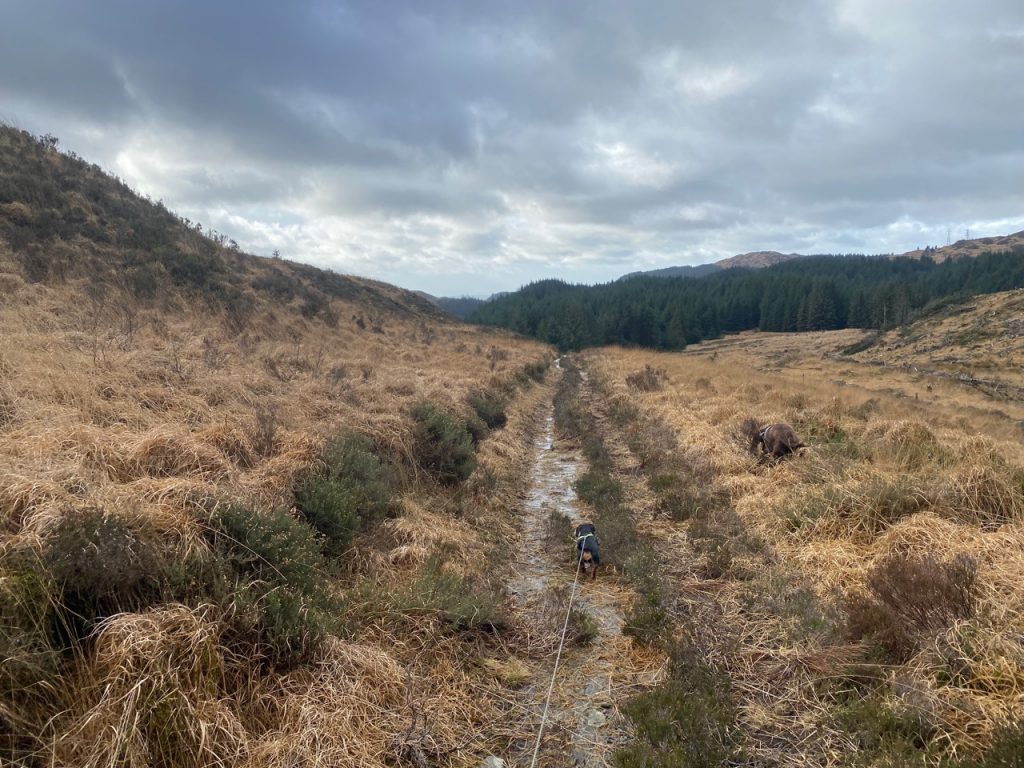
The track became wetter as we walked. How can running water become wetter, you might think, and I understand your concern. But there is a difference between rwater running over a stony track and stepping on grass that parts to allow your feet to sink into the boggy ground. But we picked our way onwards. I was careful not to make eye contact with Audrey since I knew that would mean abandoning the adventure. But then, close to where we crossed the Black Strand, my right foot sank deep and water topped my boot. It looked worse ahead so we said the Winter Promise, “We will walk this when the rainy season has ended”. For reference, the rainy season here is August to March.
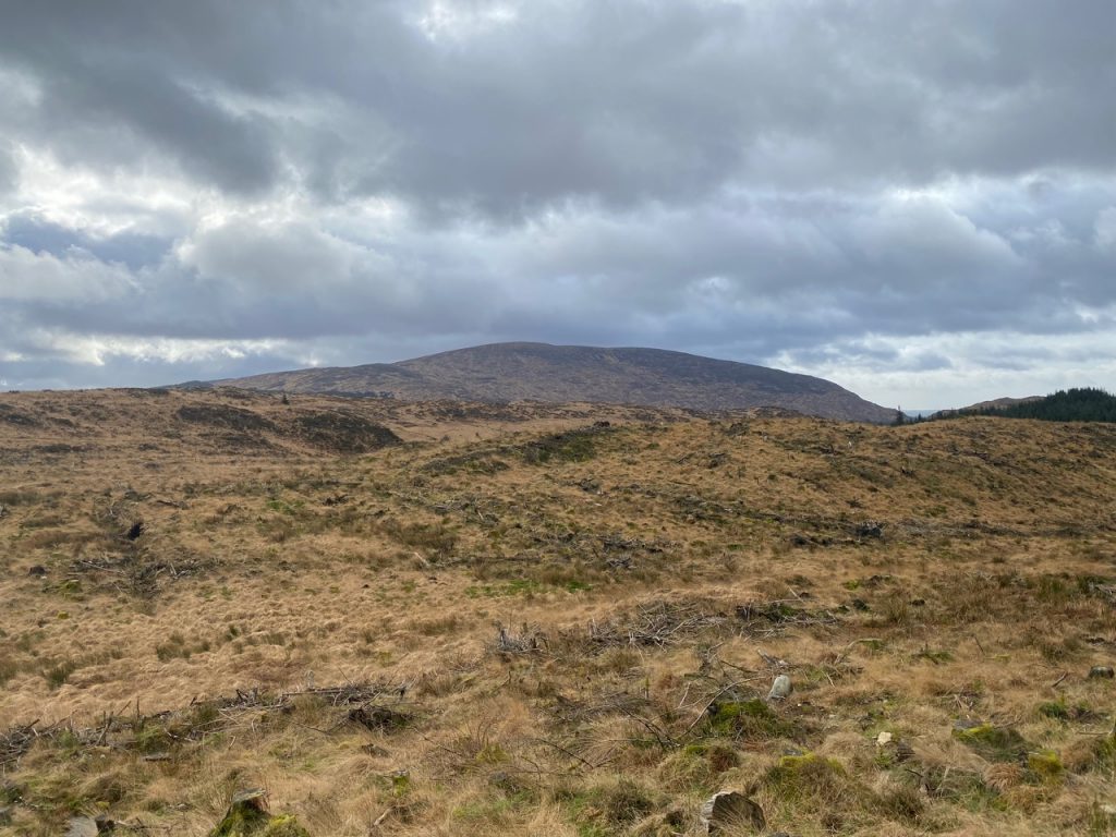
Having squelched back up the saturated track we stepped back onto the well drained forestry track and decided to see where that track went. We could see it went further than is marked on the map. It looks to have been recently built, presumably for felling the forest on Tonderghie Hill. It winds through what was once forest but is now reverting to moorland. It looks to have earned its wilderness badge.
The track ends at NX 5018 7411. We reached the end just as the rain started.
The last challenge was to find the track we had missed. Finding this end of it was easy, but it was overgrown in places the necessary detour proved very waterlogged and left my other foot wet.
The rain meant we walked without being able to take much of a break, and though we didn’t expect to find much along the way, we had views of wild Galloway, a rainbow, a loch that which I will believe had lilies. We came close to an ancient rampart and I learned of Michael Scott.
[sgpx gpx=https://www.screel.co.uk/walks/wp-content/uploads/2022/02/RK_gpx-_2022-02-15_1018.gpx]
