
5.23 miles 2h 13m ascent 189m
I mounted at the Water of Ken and had a monstrouse bad road to the Brig of Dee, and from thence to Minygaff. All the way is either full of precipices or rocks. The pass called the Sadle Loup is here about 4 miles from Minygaff. Nothing in the Alps is worse.
Sir John Clerk’s Journey into Galloway in 1735.
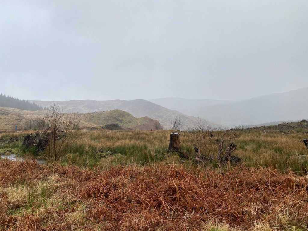
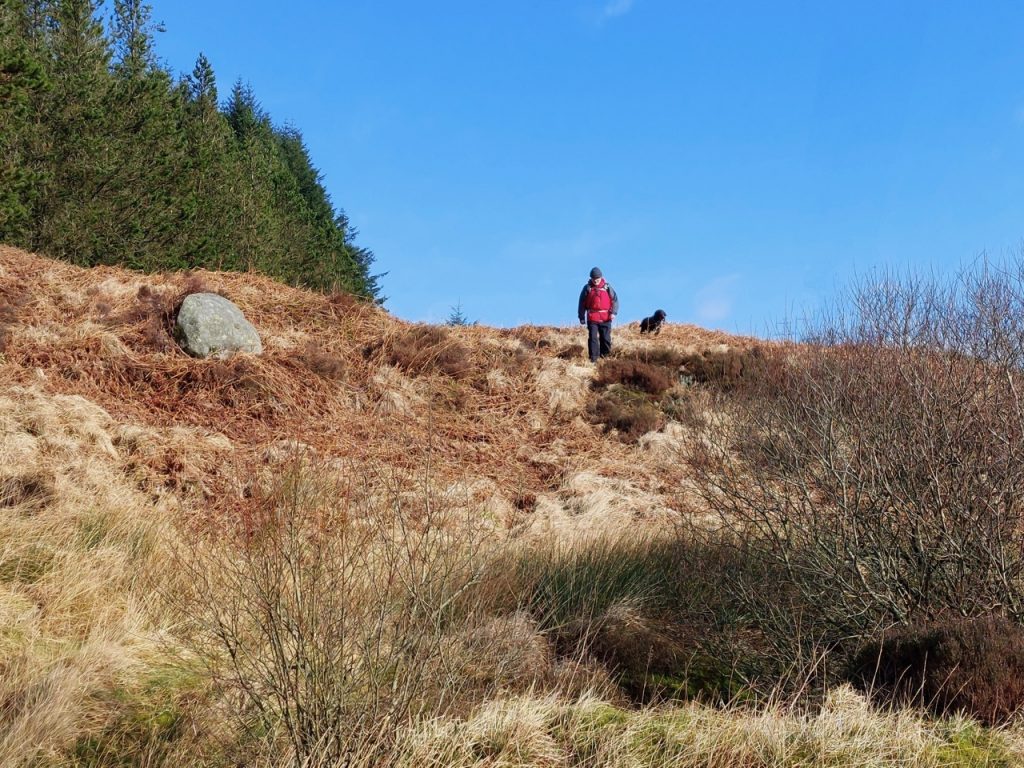
This was not the walk we intended. The plan had been to go from the Black Loch, up by Poultrybuie Hill and Munwhul, to Craigencallie. But the forestry were harvesting on the far side of Poultrybuie Hill. So we did a 360 and headed back, padding the walk with a brief exploration of the forestry track heading west and a look along the firebreak heading east. I might have explored the path down to the Tonderghie Burn or headed along the old Edinburgh Road but the wind picked up and we were treated to another drenching. Fair-weather walker mode auto-enabled, I’m afraid.
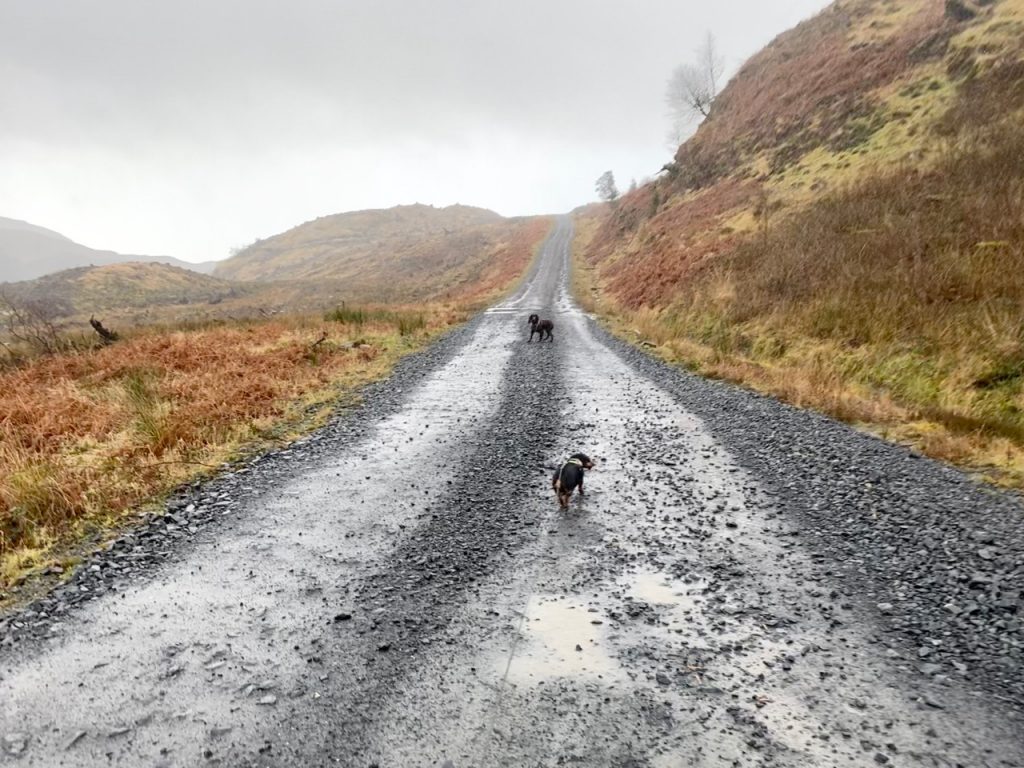
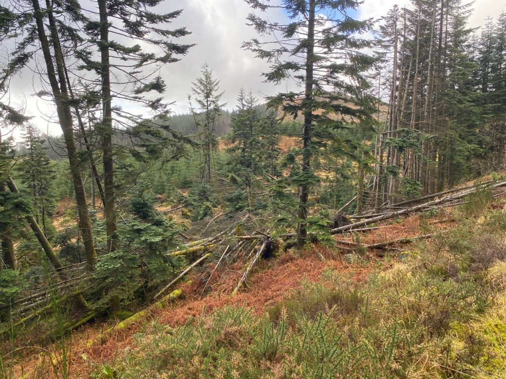
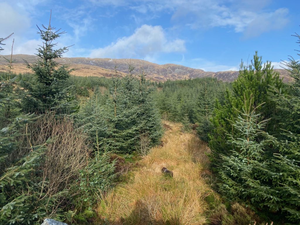
Did I mention it was windy as well as wet? Well it was. We trudged on hoods up and heads down. It was a good few years since I last walked up here and if I remember correctly, it was forest back then. It has been felled now, and what trees were left standing had taken a punishing from the recent storms (Dudley, Eunice, and Franklin) so we had little shelter.
We had set off in weather that didn’t call for full waterproofs though there had obviously been some heavy rain leaving The Eye dark brown on its weather side and red on the lee. But as it turned out, the rain had just stopped for a tea-break and was soon back, fully re-vitalised. I went from dry to no-point-in-putting-on-waterproofs pretty smartly.
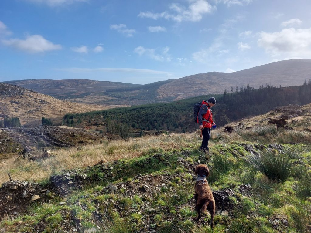
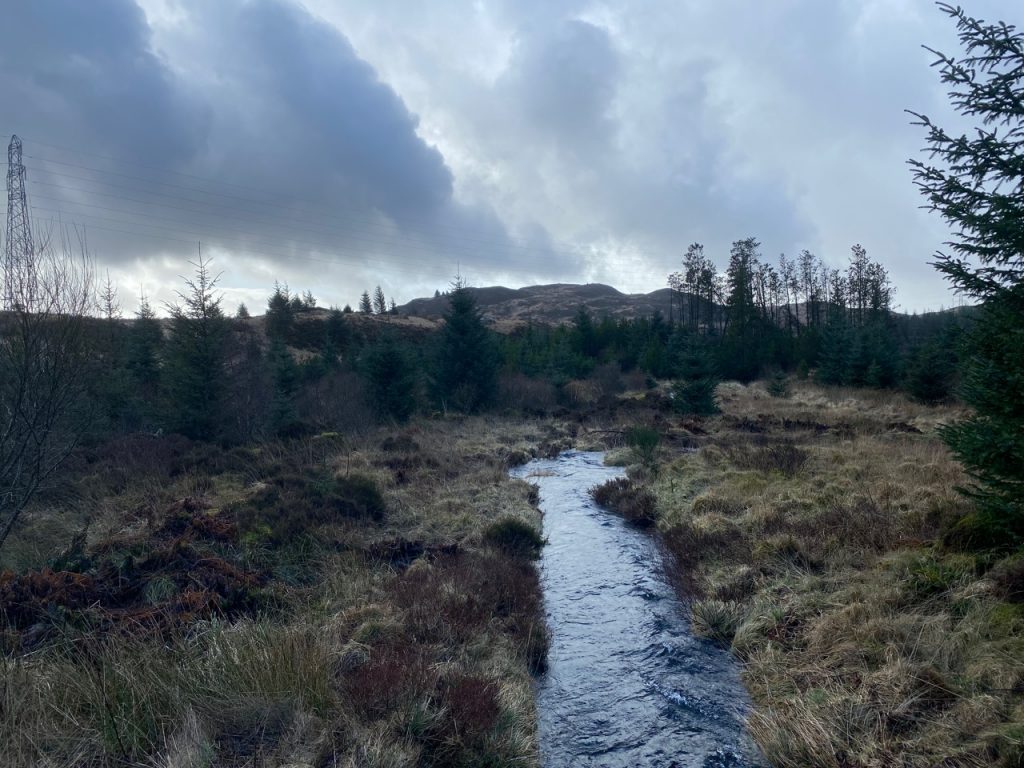
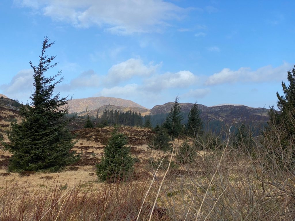
We crossed Black Dubs (on a wee bridge) and had sunshine to enjoy the views. Millfore was the main item. Older maps name it Mullfeor, which gives away the origin of its name, Meall Fuar, Cold Hill.
Unfortunately our walk only go as far as Kirkloch, the ridge coming down from Millfore and we only got to glimpse the Buckdas of Cairnbaber in the distance rather than walking by it. A sign informed us that the “Big Country Route” was closed.
Ha! ……
Big Country
In a big country dreams stay with you
Like a lover’s voice fires the mountainside
Stay alive
No, not that Big Country. This one is the 38 mile 7stanes Big Country MTB route.
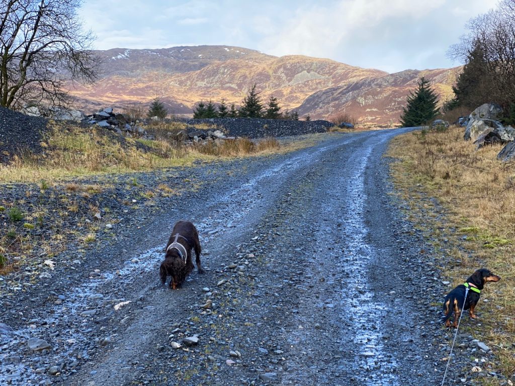
We hadn’t realised how strong the wind was until we had turned round and were walking into it. The dogs looked like they had their heads stuck out of a car window. We followed a forestry track that heads towards the Rig of Auchinleck. The track slightly raised and the trees relatively young (perhaps 10-15 years old) so there were clear views of Millfore.
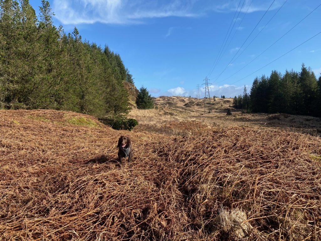
The pictures below are of the broad firebreak where the electricity pylons head towards Tonderghie Glen.
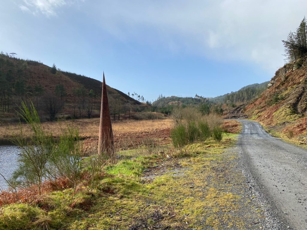
We started and finished by the Black Loch which Pont’s and Blaeu’s maps from the 16th and 17th century name Sadle Loup Loch. The ‘loup’ here derives from the Norse hlaup, a leap or jumping place and suggests a steep drop. These older maps also show a pass, the Grey Mear’s Tail of the Sadillowip. This suggests the Saddle Loop was the drop over which the Grey Mare’s Tail Burn flows.
[sgpx gpx=https://www.screel.co.uk/walks/wp-content/uploads/2022/02/RK_gpx-_2022-02-22_1030.gpx]
