4.8 miles 2h 12m ascent 273m
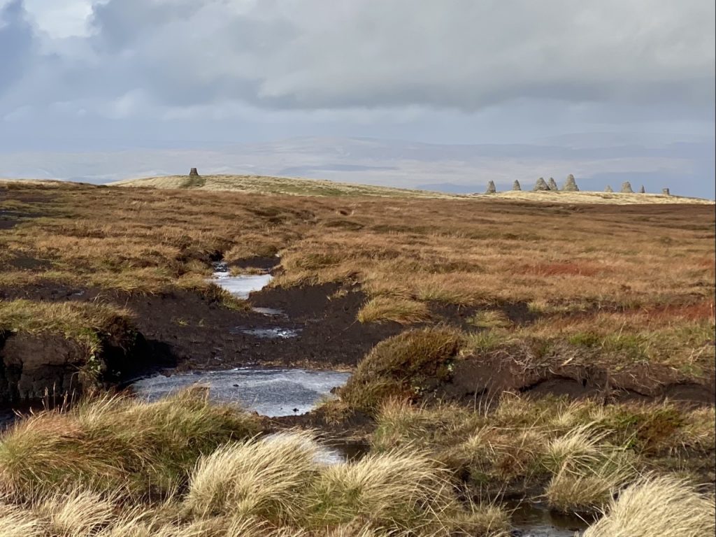
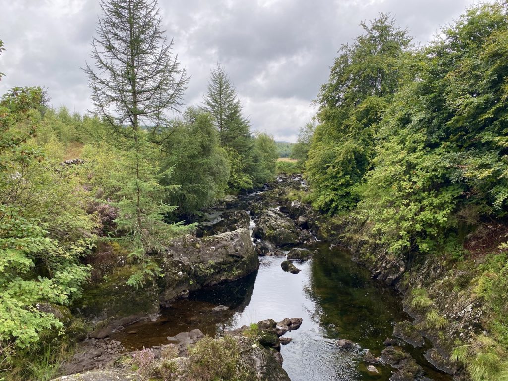
I would be an exaggeration to say Marthrown Hill has been a thorn in my side but it has been a bit of a prickle. Walking around it these last few weeks brought that price to the fore. It had foiled my attempts to uncover its etymology and nine years ago, with a spaniel and a border terrier I failed to reach its lowly top. The terrain, particularly some new fell, was too much for us.
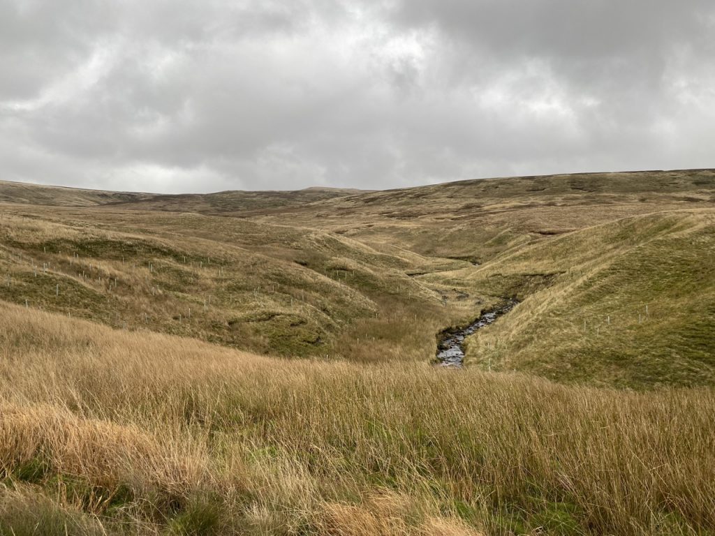
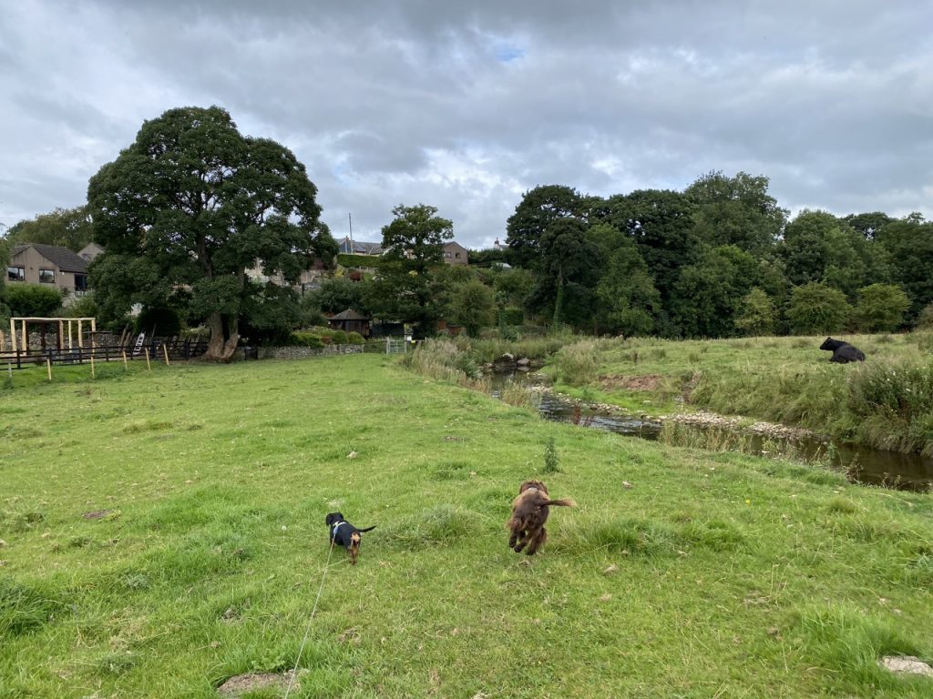
I decided that this time I would have to do it without the dogs. Christy might manage but I doubted Mabel could. I had several possible routes in mind but remained undecided. Since I had two dogs with me (though not the same two as nine years ago), this was just going to be a recce. I would see which direction looked most appealing.
Continue reading