
7.74 miles 5h 9m ascent 252m
The Ordnance Survey shows a footpath between Polmaddy and Carsphairn. For more than 500 years it was part of the main route through the Glenkens to the south coast. It was once part of a network of routes across SW Scotland bringing pilgrims from Glasgow and Edinburgh to the cradle of christianity in Scotland at Whithorn. King James IV used the route to visit the shrine of Saint Ninian in the 1490s. But with construction of the turnpike (now the A713) the old route fell into disuse. With forestry planting and upland land improvements in modern times the path was beginning to disappear. Parts had become impassable. The Glenkens Pilgrims’ Way project spent three years rejuvenating the route and reopened it in 2020.

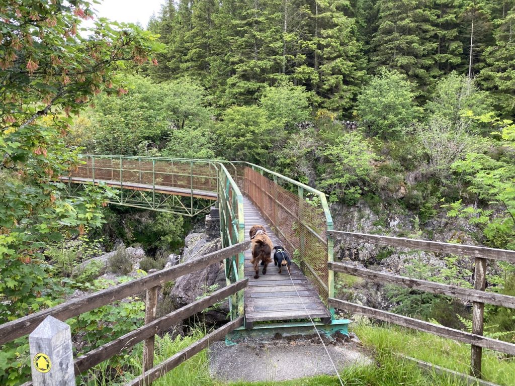
The Glenkens Pilgrims Way runs from the abandoned settlement at Polmaddy to the bridge just south of Carsphairn. Our plan was to visit the ruins at Polmaddy and walk the Way, there and back. Fallen trees meant the path proved a little more trying than it might have been. To be fair, the Forestry Commission website had said the path was closed by storm damage. We did manage to scramble over, climb under or find a way around the fallen trees but it slowed us down quite a bit and when we reached Bennan, the wee hill above Carsphairn, I decided to forego the final walk down the hill (and the enevitable re-ascent). So we turned back and retraced our steps.
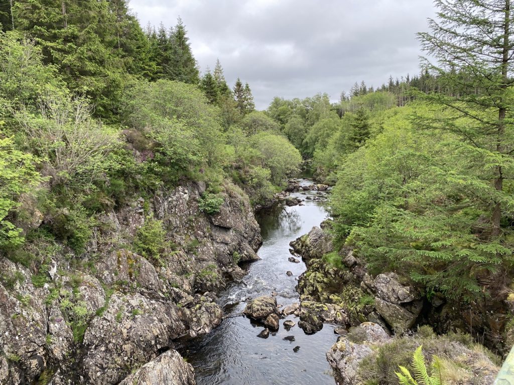
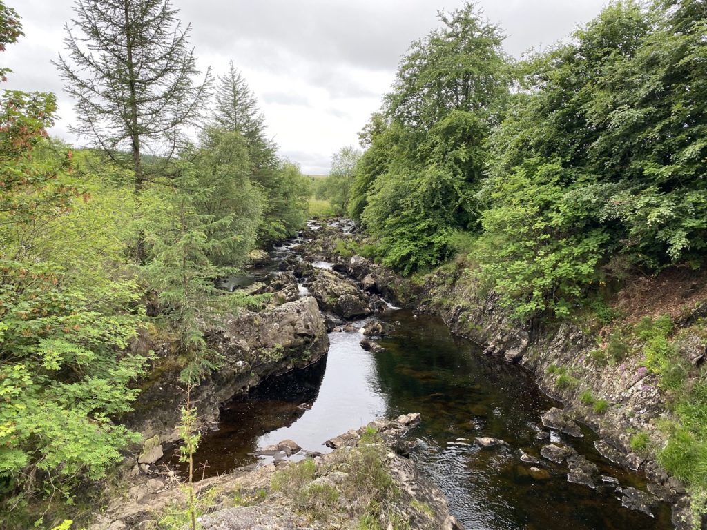
In bygone times travellers would have forded the burn at Polmaddy but now there is a bridge. The old ford was a little further upstream. The name Polmaddy has the gaelic elements poll (pool, river) and madadh (dog, fox, wolf) and might be a reference to hunting in the area, though another possibility is that madadh is a shortening of madadh donn or madadh uisge, meaning ‘otter’, so that Polmaddy would be ‘otter burn’ or ‘otter pool’.
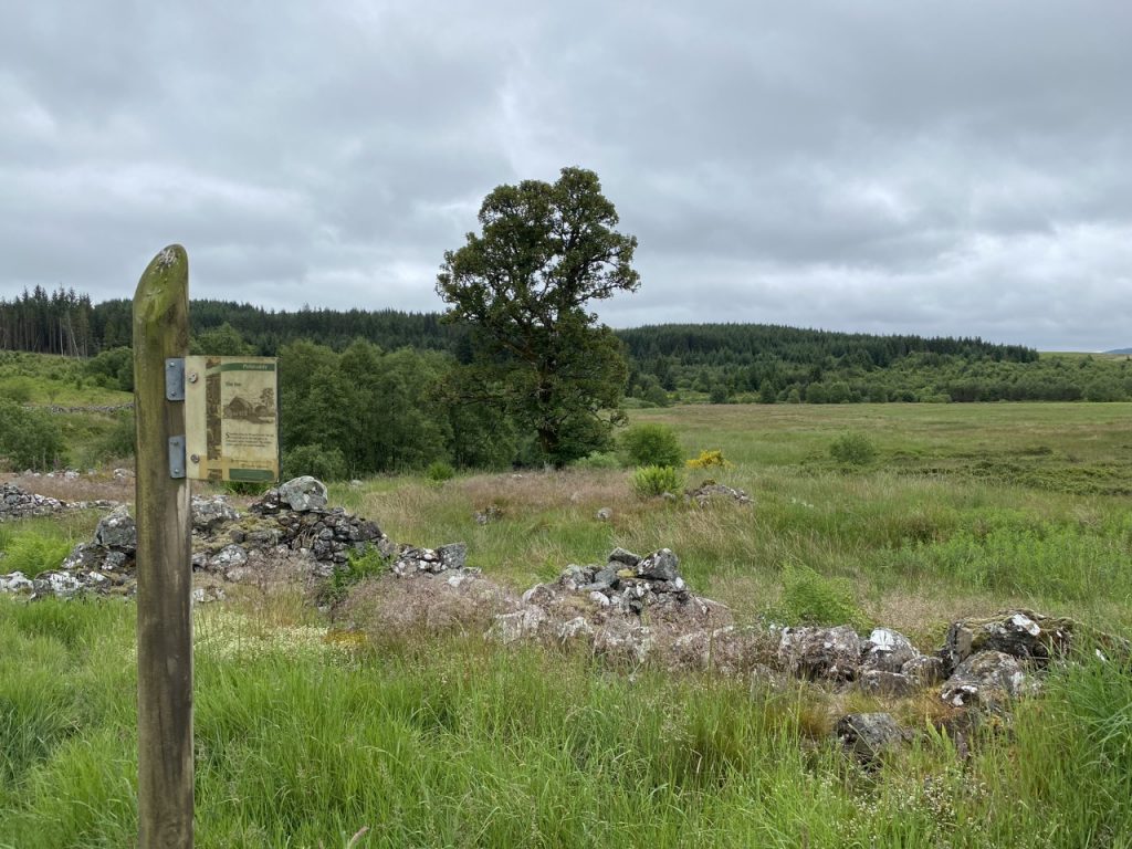
Across the bridge a small area in a loop of the burn remains un-forested. It is wild moorland now but was once a ferm-toun with several houses and byres, several corn-drying kilns, and a mill with an artificial mill-pond. An inn stands slightly beside the pack-road. We were able to follow a route with information boards that wound through the ruins. The village was abandoned in the eighteenth or nineteenth century, probably as a result of the changes in farming methods that produced the “Lowland Clearances” .
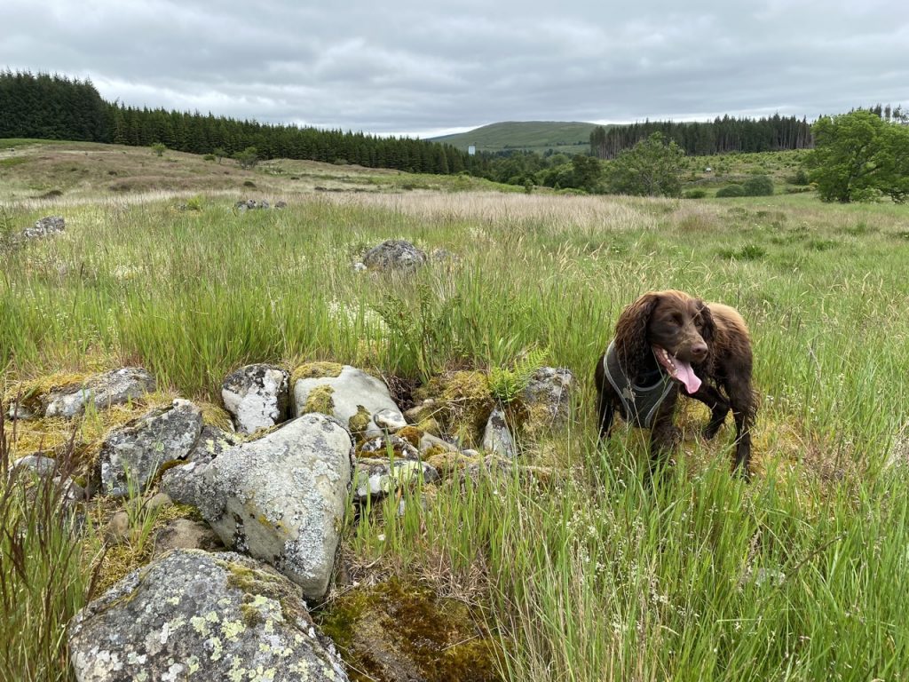
The ruins are low stone walls about knee height, but the shapes of the buildings are easily picked out. The path was not always particularly clear and at one point we found ourselves in a ditch that had once been the mill lade. This was once a stone-lined channel, nine feet wide and half a mile long. Robert the Bruce is said to have been sheltered by the miller’s wife at Polmaddie while hiding the Galloway hills and when he became king she was rewarded with the freehold of the mill, and some money. To commemorate his victory, she and her kinfolk built the large cairn known as Carlin’s Cairn. (A carle is a free-man such as the miller, and his wife a carlin, though carlin has come to mean a hag or witch).
I will have to say that I am not convinced that the poor folk of Polmaddy would have traipsed to such a remote hill-top to build the cairn. It sounds to me like an explanation of the huge cairn being woven into Bruce’s story.
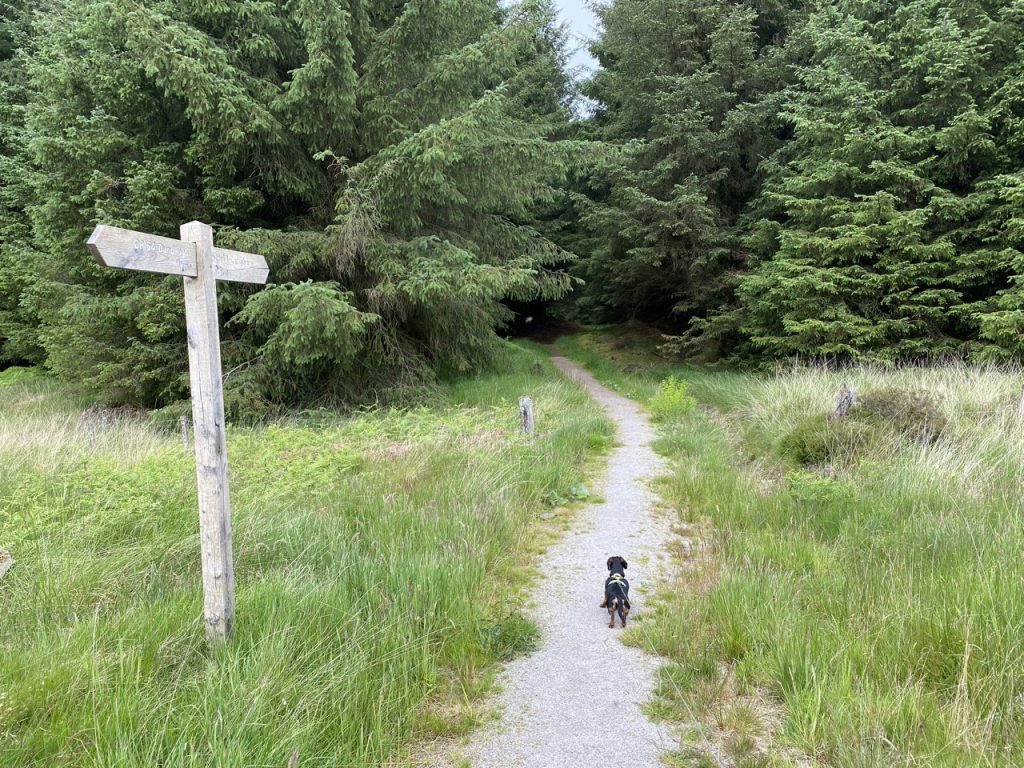
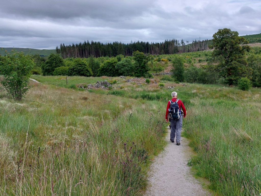
Then it was on to the Pack Road which as you can see in the photograph above was newly surfaced (here at least). The road soon entered woodland where the wide slowly climbed. unfortunately we had not gone too far before we found the path blocked by fallen trees. there had obviously been some attempt to keep the route open with inconvenient branches cut away but more trees had fallen after that.
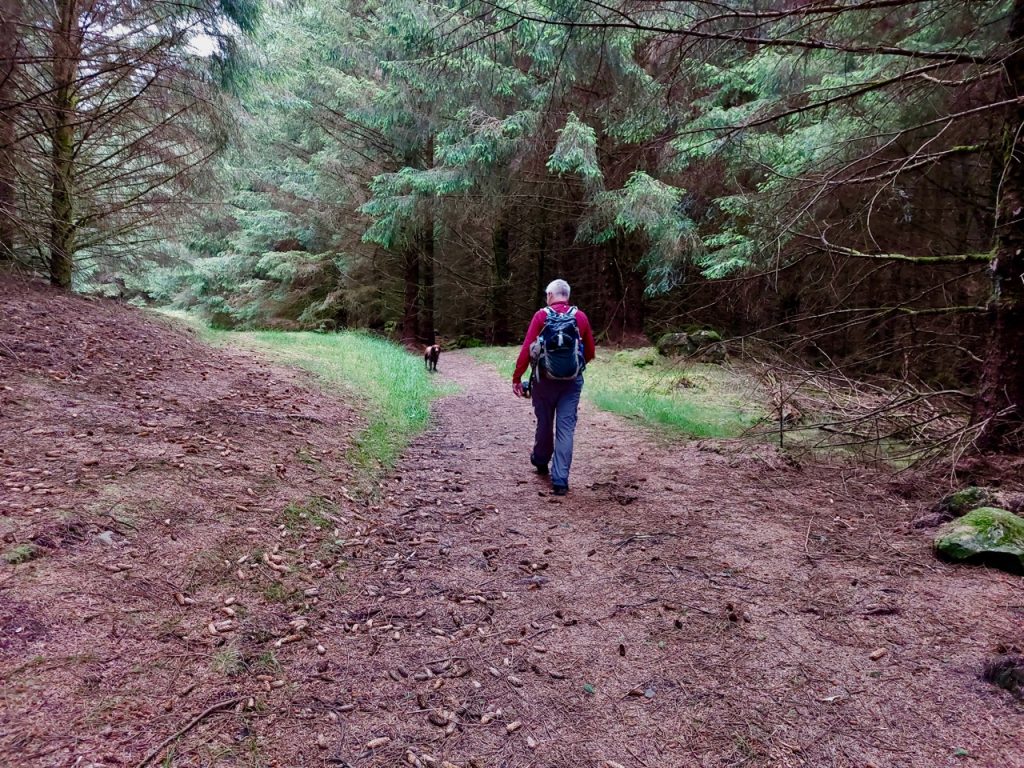
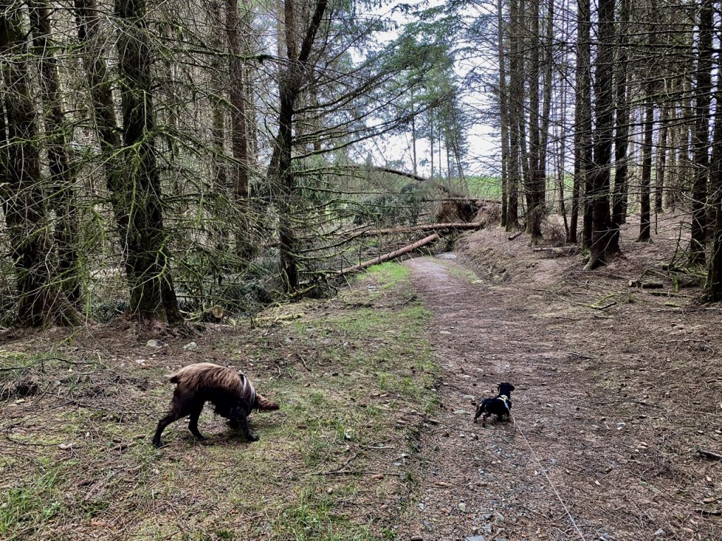
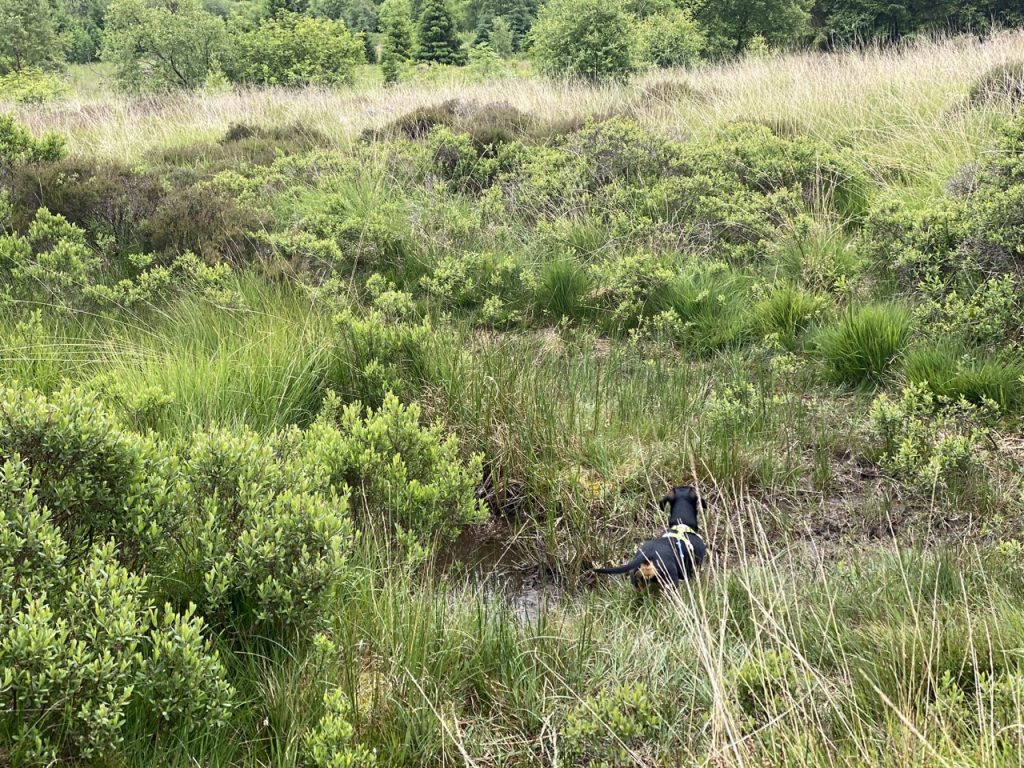
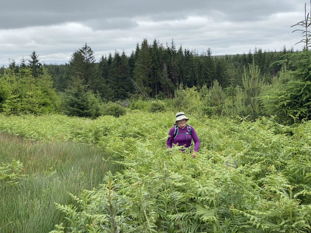
I stopped counting after the seventh set of fallen trees. Some we could step over, some were high enough to stoop beneath, others had to be bypassed. Sometimes this just meant a walk ‘off-piste’ in the woods but it was sometimes tricker with boggy ground, piles of new fell branches or densely packed young trees. But we managed.
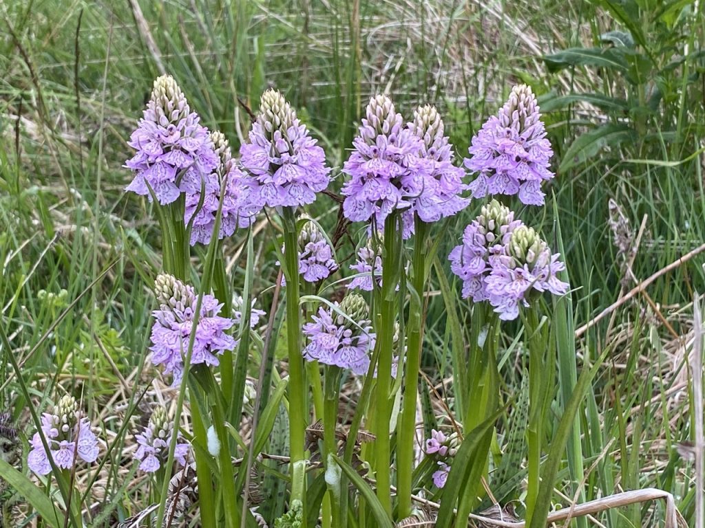
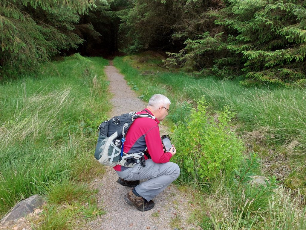
There were a great many butterflies (or moths) about and as we were to find later, where there is one insect type there is another. I had brought my midge net and had chosen long sleeves, but there really is no escaping them. There was lots of cuckoo spit on the plants around us.
Even though I went about busily, there was nothing in particular to see apart from a sort of spittle on the grass everywhere. The common people call it frog-spit, and, when you wipe it off, a small insect is left behind; flesh-coloured, like a small grasshopper though still immature.
Carl Linnaeus 17 June 1732
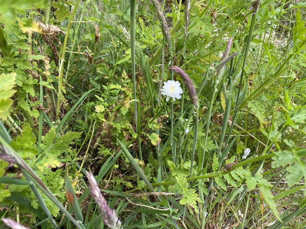
These are protective cocoons for nymphs of the froghopper, an insect resembling a small frog. The name is because cuckoo-spit appears around the same time cuckoos are heard. They have an acrid taste (or so I have read). There was also St John’s wort about, though three days early for the feast of St John the Baptist. One plant that had me perplexed turned out to be feverfew. All but one of its flowers were still buds, perhaps a few days from flowering, just one was open and looked like a miniature chrysanthemum. That threw me off the scent until I realised it was a mutant double flower.
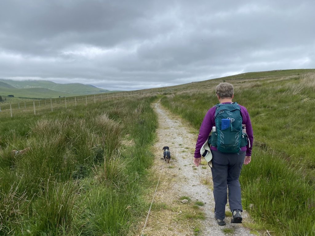
The path emerges from mature woodland near Barlae Hill and spends a little time criss-crossing a forestry track, four times in fact and here the footpath was greatly overgrown. There were only very short sections where the path had been surfaced. Some parts here could have been very boggy if we had not just had a long hot dry spell. It really did remind me of parts of the Southern Upland Way, where there are marker posts but they are overgrown and easily missed. In fact on the return leg we couldn’t find the path at one point and went walking off the wrong way.
The path has a change in character once it reaches the moorland slopes of Braidenoch Hill. A gate in the deer fence took us onto the wilder ground but the path had been relaid here and was easy to follow. The Rinns of Kells were to the west and though shrouded in cloud on our outward journey they had mostly cleared when we were heading back.
A sign with an EU flag informed us that the Pack Road path Restoration project was funded by the Agri Environmental Climate Scheme with support from the European Union. So I suspect it might fall back into disuse. The path runs about 30m below the tops of the hills to the east and i might have been tempted to go up to the various carved stones and cairns if there hadn’t been a deer fence between us and them. It looks as if a new drainage ditch has been dug right next to the path which is beginning to erode into it.
There is another gate in the deer fence just past Bardennoch Hill and the quality of the path beyond there was boggy in places and often indistinct. It looks as though wheeled vehicles have been along it in places damaging the friable ground which has become filled with wet sphagnum moss. Not good for walking. I wonder if the project’s money might have run out when they got this far.
We eventually came around the hill and could look down to Carsphairn and the Water of Deugh. When this path was the pack road it would have used a ford close to Carsphairn. The modern Glenkens Pilgrim’s Way diverts to the A713 bridge at Liggat.

Had we been doing a linear walk, the descent would have been no problem but since we were returning it would hve meant re-ascent and had to get back across the fallen trees. So I flew my ‘can’t be arsed’ flag and found it reciprocated. We decided instead to walk up to the cairn on Bennan the stop for our sandwiches before heading back.
We knew what to expect on the return leg. But that didn’t mean we could always find the same way around the obstacles. We both put our hands in some sticky tree sap that defied wiping off. We were surprised by a plague of midges in the woods and as I mentioned we had some trouble finding the path where it was overgrown.
Not a bad walk. I enjoyed it. The day before had been a scorcher, this was just warm and though it came very close to raining it actually stayed dry. But why does my left boot keep coming undone?
[sgpx gpx=https://www.screel.co.uk/walks/wp-content/uploads/2022/06/RK_gpx-_2022-06-21_1023.gpx]
